
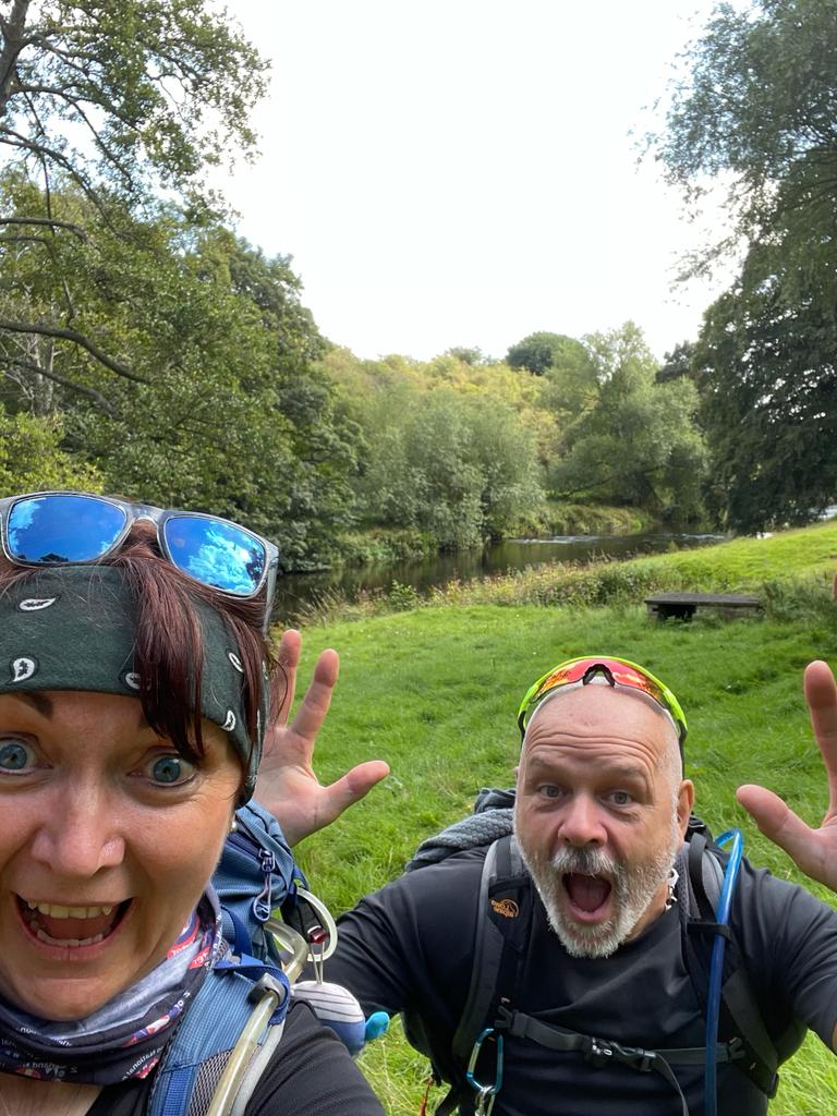
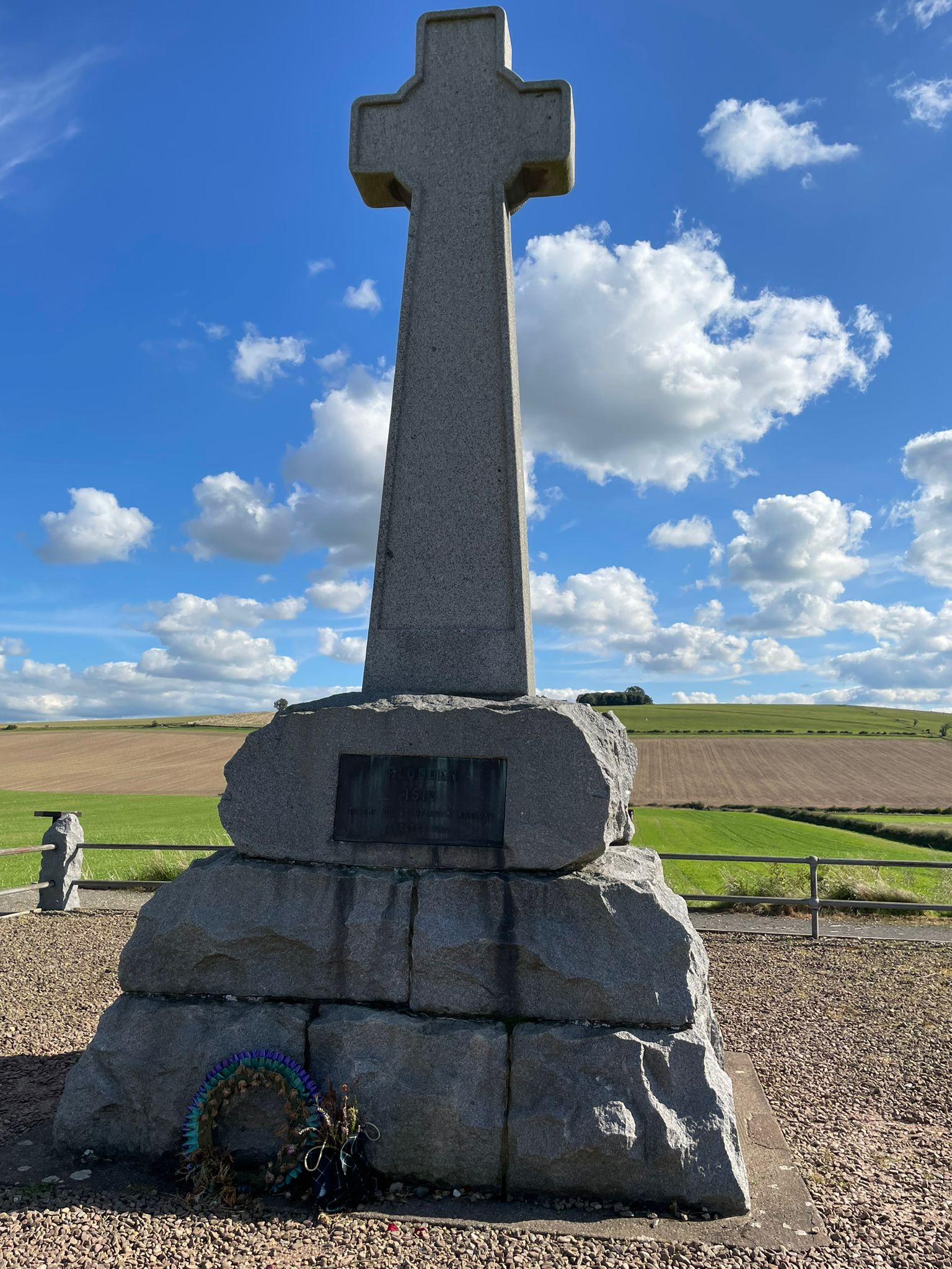
Etal Mess - a Ford Flodden Frolic
Sat 2nd Sep 2023
Walk Details:
A circular route taking in the Rivers Till and Tweed, chapels, castles and a battlefield tour of Flodden Field to the monument on Pipers Hill, and a trig or possibly two ! Drinks afterwards at the The Black Bull, Etal, Northumberlands only thatched roofed pub ( apparently home of the haggis fritter served with Irn Bru Jam ! )
Entry Details:
Other Files
GPX
A GPX file of the above route may be downloaded by clicking the link below.
Note: GPX files of Group Walks are created by LDWA Group members, and may be downloaded only by other LDWA members. They should not be made available outside the LDWA, and are used at members' own risk.
Login to Download (Members Only)You can use the interactive controls to zoom in and out and to move around the map, or click on a path or a marker for more info. (interactive map help)
You can use the interactive controls to zoom in and out and to move around the map, or click on a path or a marker for more info. (interactive map help)
© OpenStreetMap contributors under Open Database Licence
Rights of way data from selected Local Authorities
Large scale digital mapping is provided by John Thorn
At high zoom levels the route is indicative only.
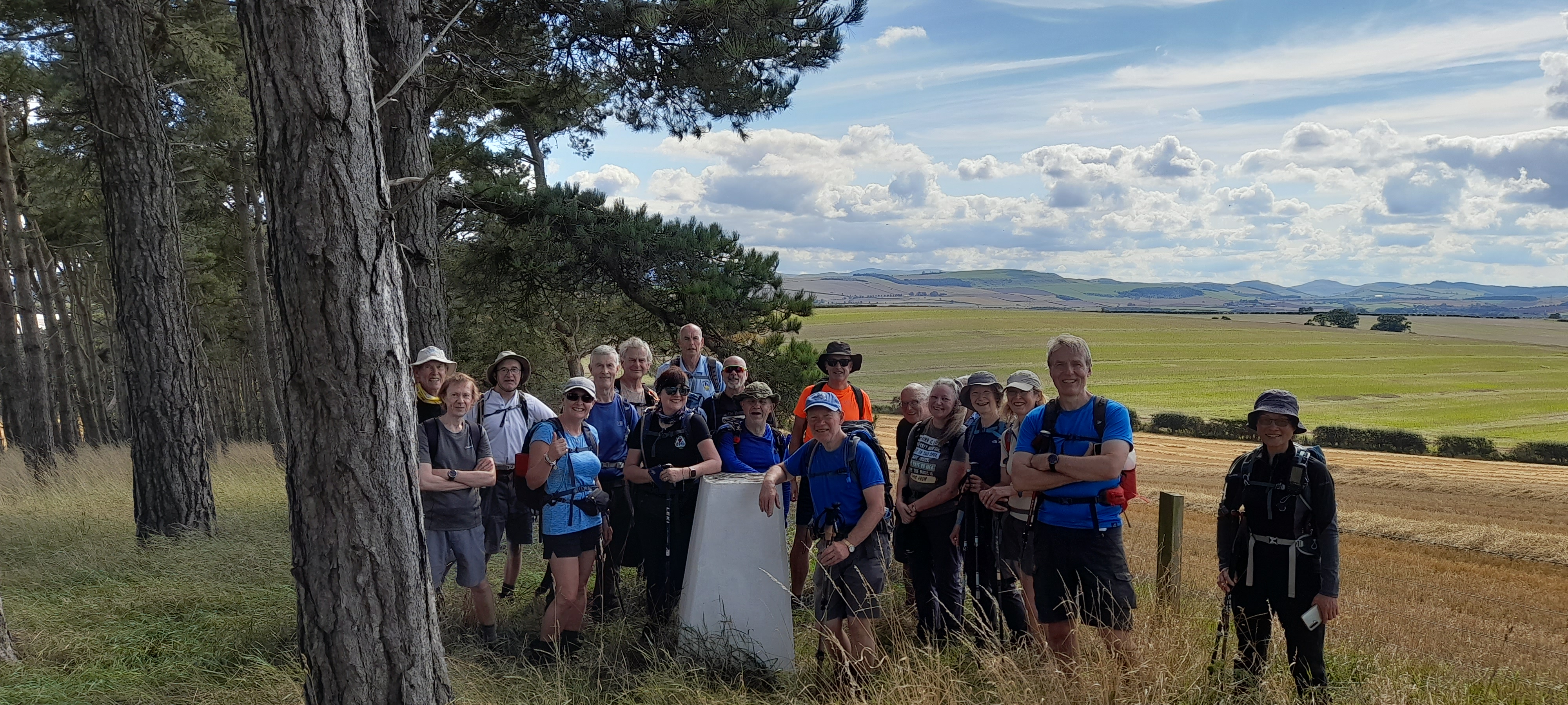
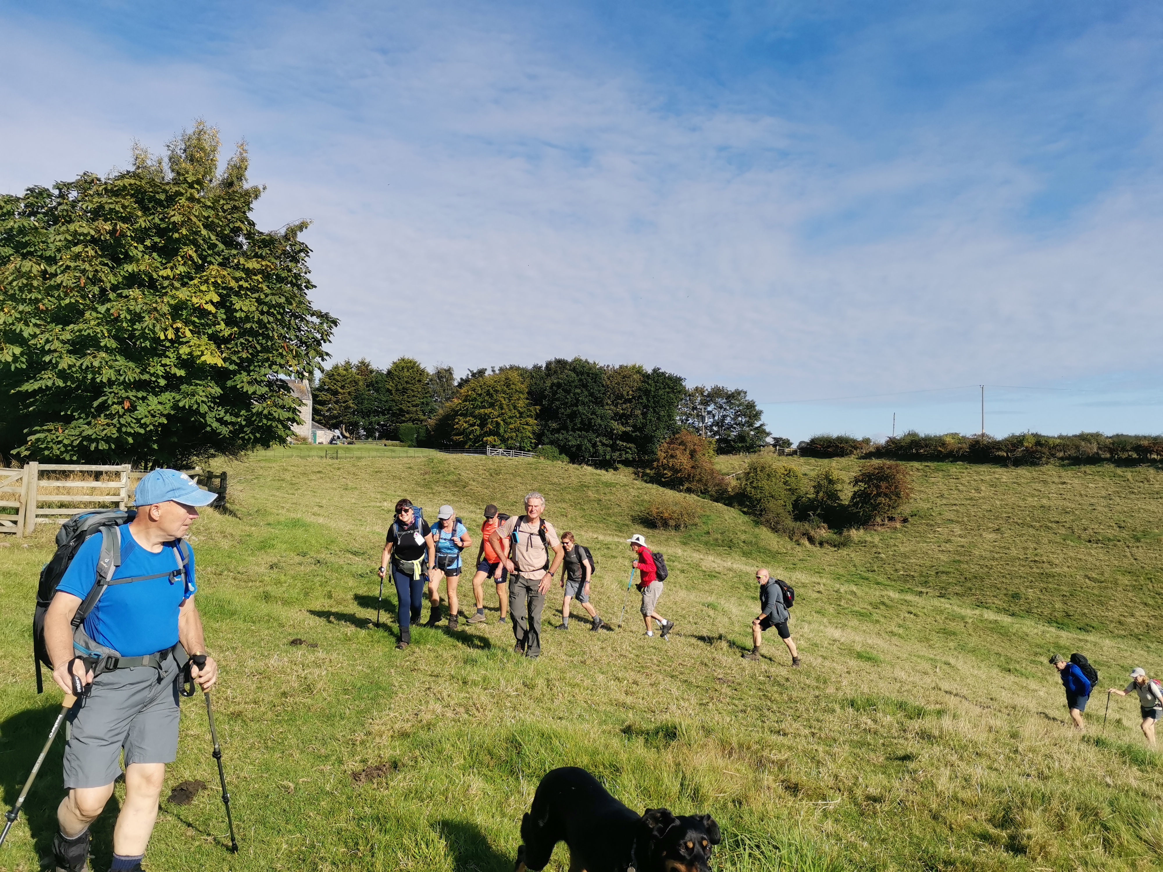
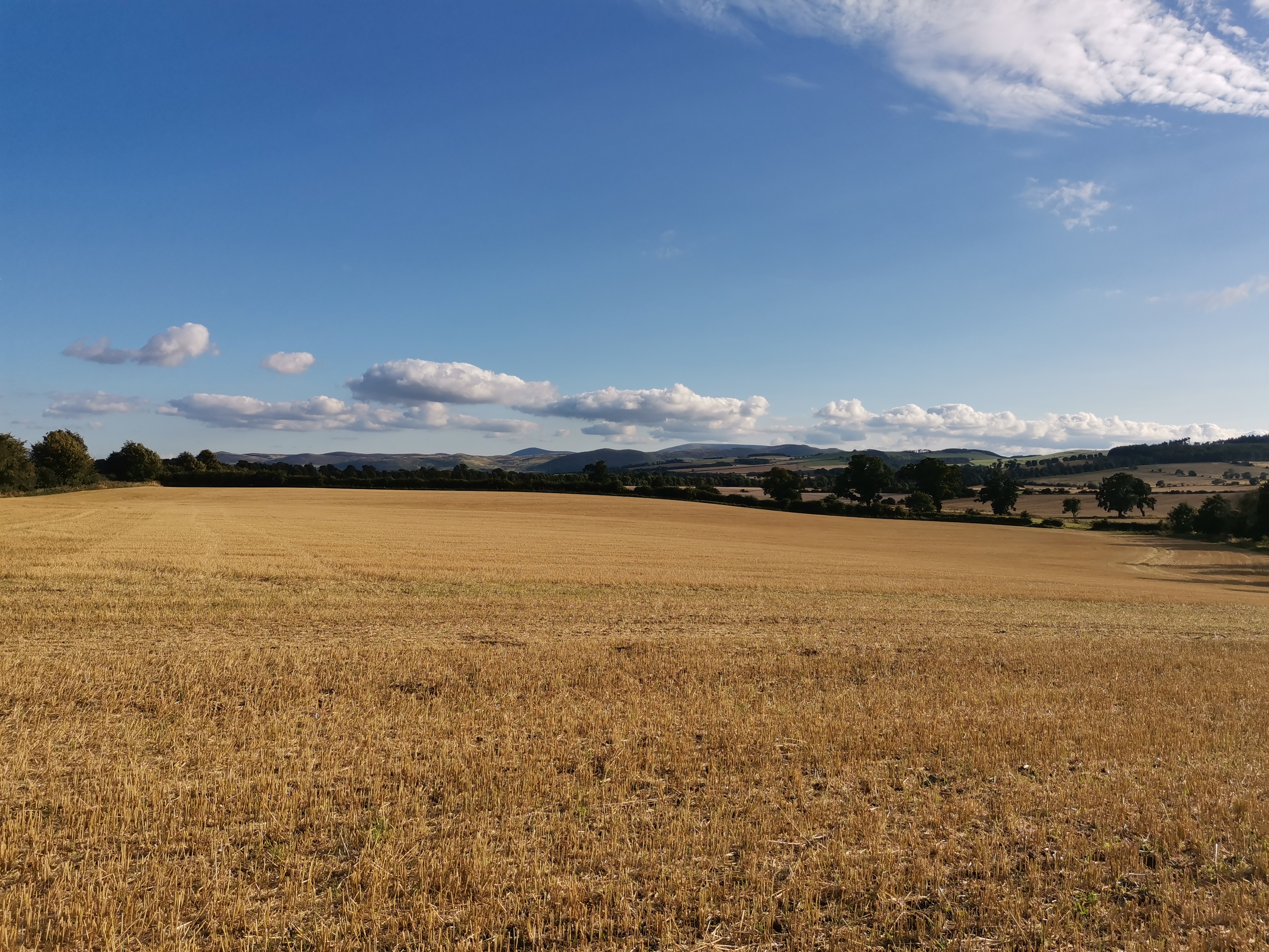
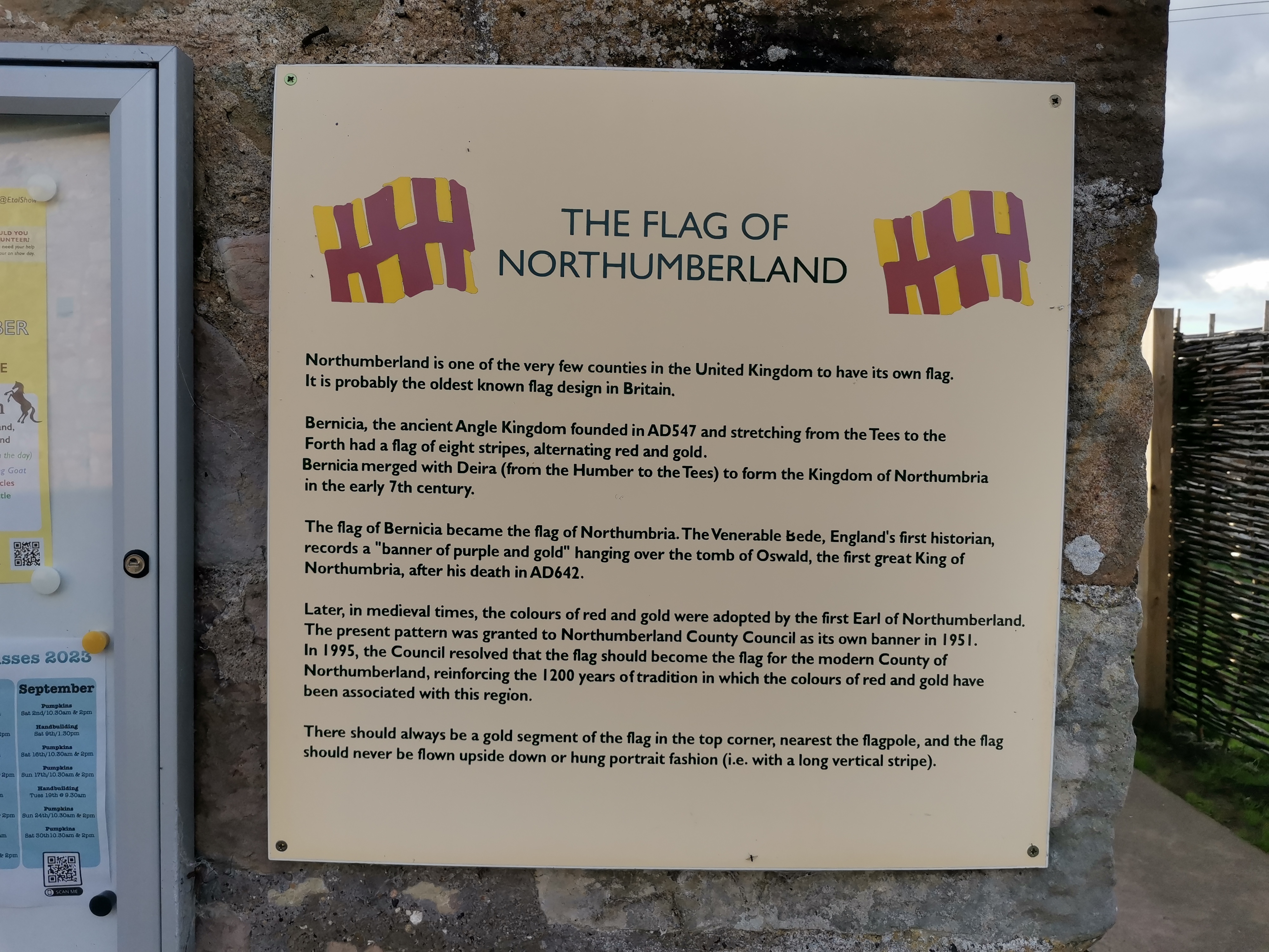
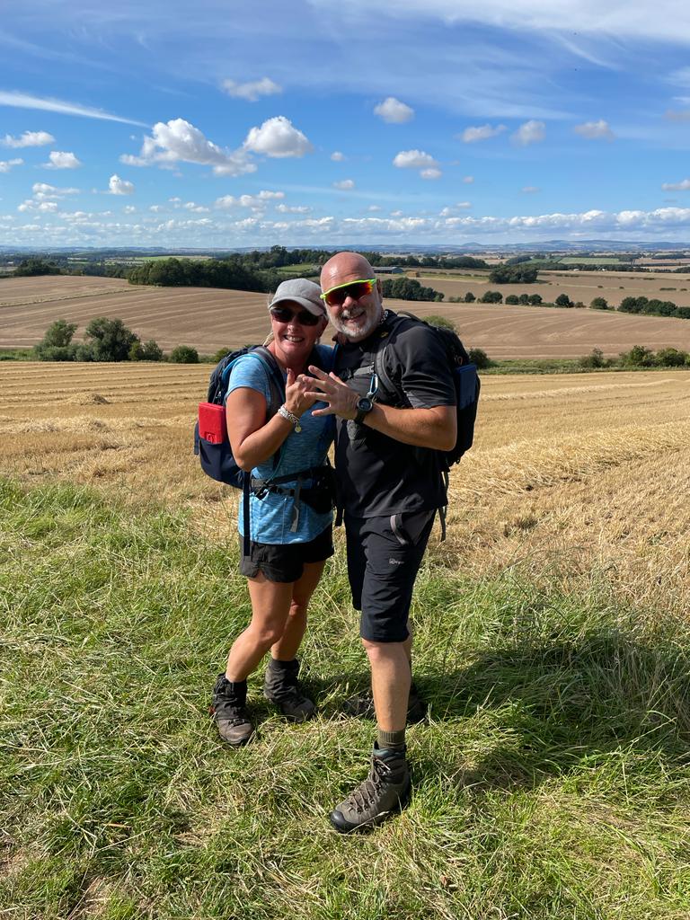
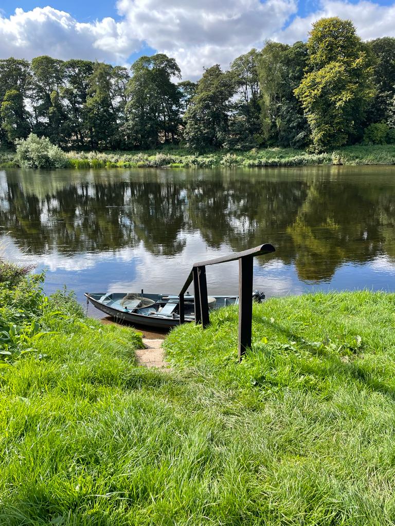
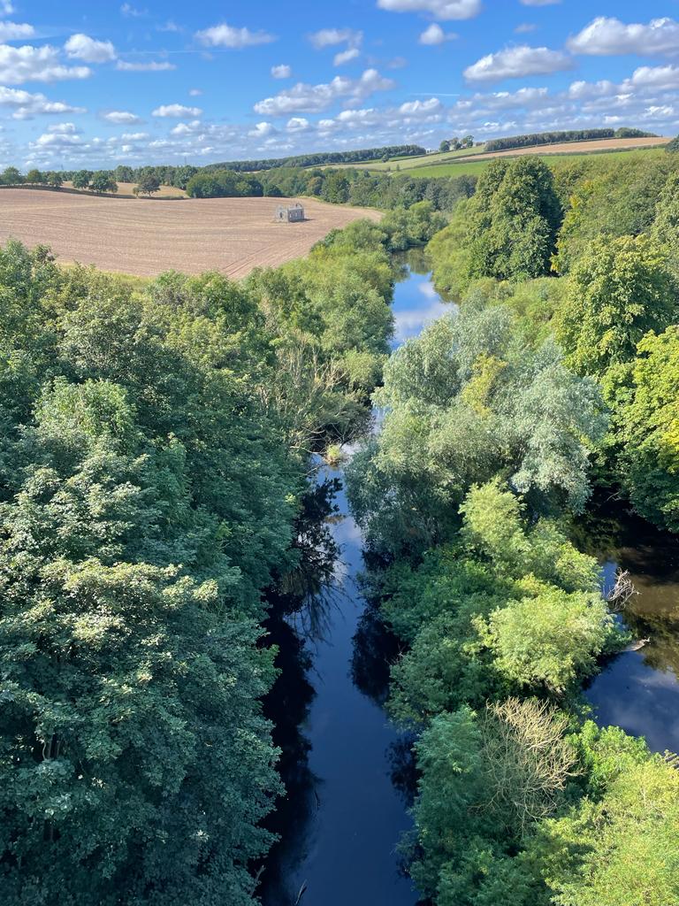
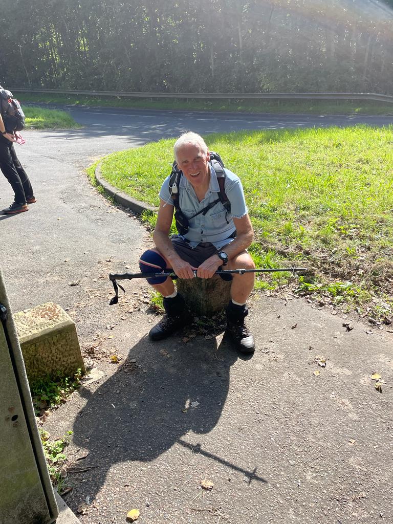
Gallery

Maps:
You can use the interactive controls to zoom in and out and to move around the map, or click on a marker for more info. (interactive map help)
© OpenStreetMap contributors under Open Database Licence.
Rights of way data from selected Local Authorities.
Large scale digital mapping is provided by John Thorn.


