
Saints and Sinners
Sat 19th Aug 2023
Walk Details:
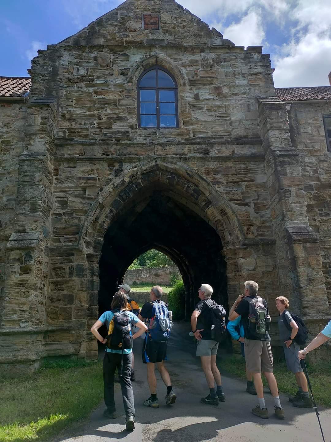
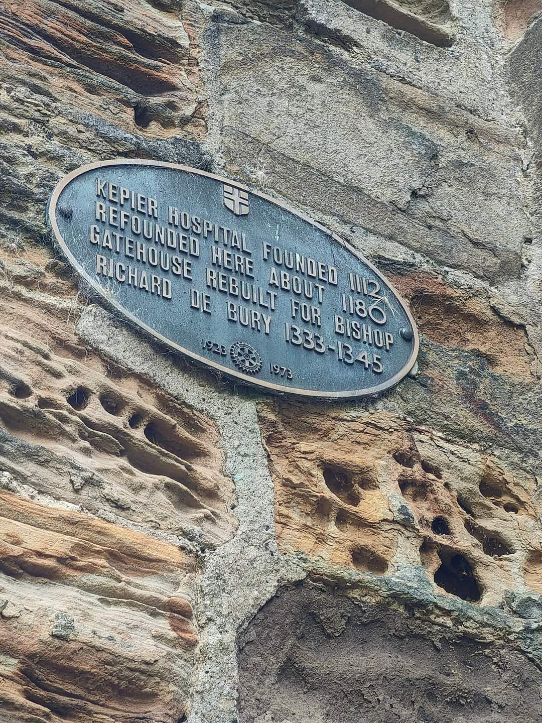
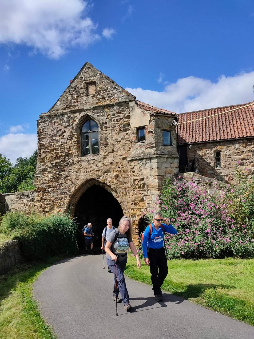
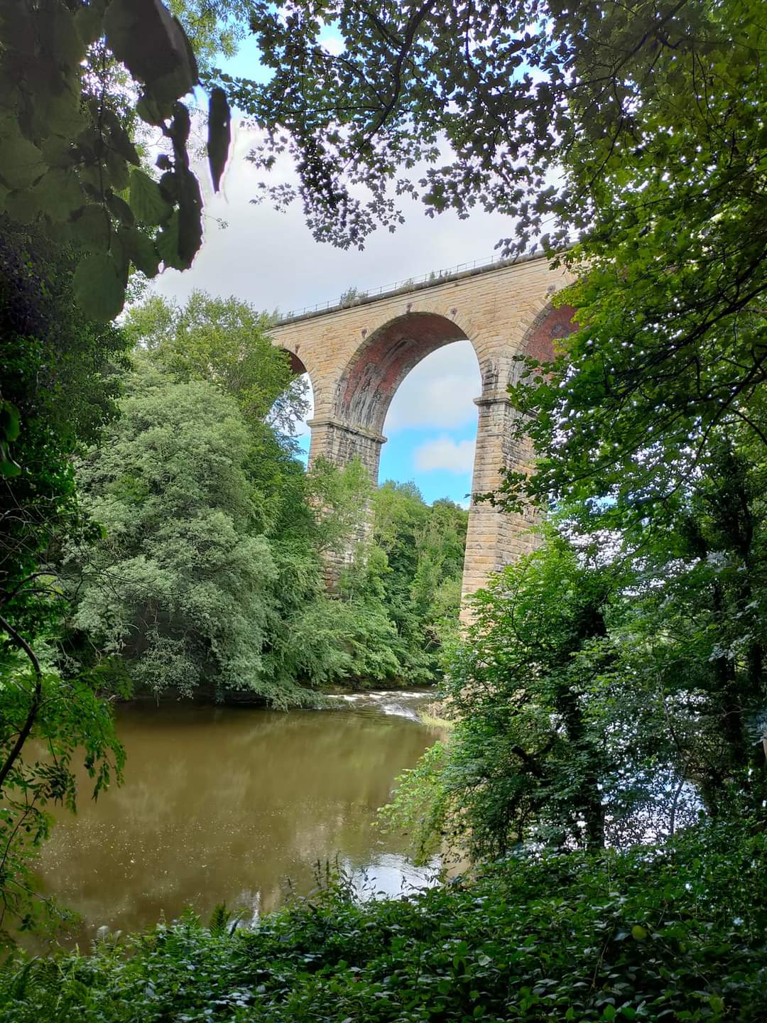
Floaters Mill, using the Weardale Way to Durham we visit Lumley Castle, Great Lumley, Finchale Priory & Crook Hall. Just before Durham city we cross the Wear and leave the Weardale Way. Kepier Farm, Belmont Viaduct, Black Wood, Leamside, Rainton Meadows, Lumley Thicks & return to the Floaters Mill
Entry Details:
Walk Report
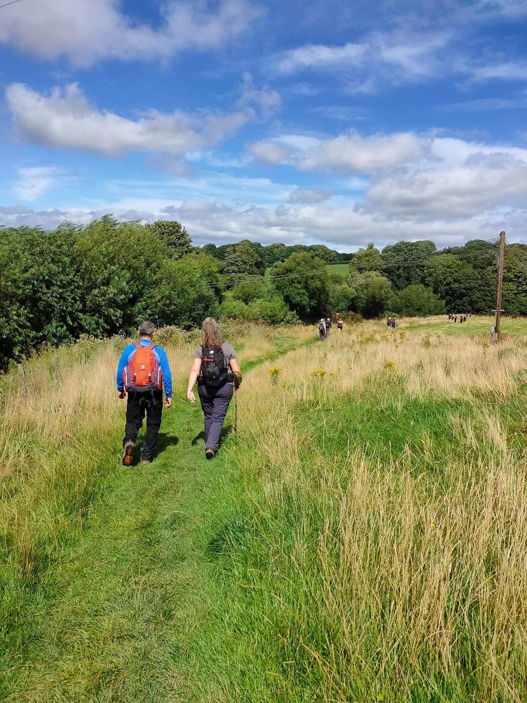
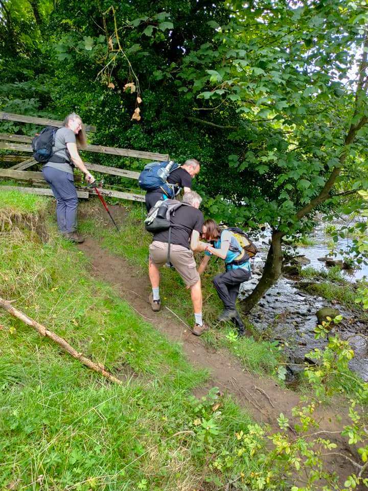
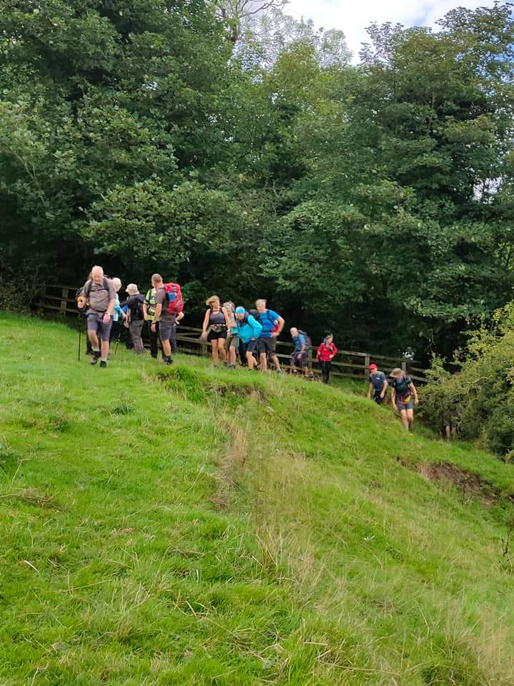
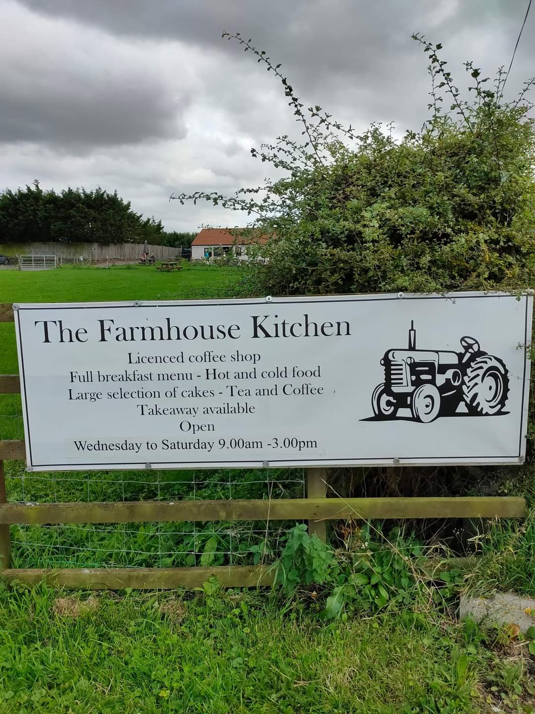
Parking was at the Floaters's Mill Pub in Fencehouses. Organised by leader there is plenty of parking. We of course enjoyed drinks there at the conclusion of the walk. An interesting linking part of the walk. South bank of the Wear, area on 1:25,000 map called Black Wood. We approached along the South bank of the river from Durham City along public rights of way. At NZ302457 the public footpath terminates. The next 1/2km or so downstream along the riverbank is not either a right of way or a permissive path. There are signs saying stick to the River so the landowner obviously knows that walkers use the riverbank here. At NZ306458 a public footpath is rejoined. When the river is in spate this linking route would be impassable and there are a couple of awkward fences to climb over. Quite muddy. The intention was to do a small loop around Leamside, but the footpath alongside the A1(M) at NZ308473 was completely unpassable due to waist high vegetation of a stinging nature, forcing us to turn back and pass through Leamside on the main road. Our third stop was at the Farmhouse Kitchen, Low House Farm, Leamside, which our leader had pre-organised. Very civilised coffee and sandwiches. (Paul Nellist)Other Files
GPX
A GPX file of the above route may be downloaded by clicking the link below.
Note: GPX files of Group Walks are created by LDWA Group members, and may be downloaded only by other LDWA members. They should not be made available outside the LDWA, and are used at members' own risk.
Login to Download (Members Only)You can use the interactive controls to zoom in and out and to move around the map, or click on a path or a marker for more info. (interactive map help)
You can use the interactive controls to zoom in and out and to move around the map, or click on a path or a marker for more info. (interactive map help)
© OpenStreetMap contributors under Open Database Licence
Rights of way data from selected Local Authorities
Large scale digital mapping is provided by John Thorn
At high zoom levels the route is indicative only.
Gallery
Maps:
You can use the interactive controls to zoom in and out and to move around the map, or click on a marker for more info. (interactive map help)
© OpenStreetMap contributors under Open Database Licence.
Rights of way data from selected Local Authorities.
Large scale digital mapping is provided by John Thorn.


