
Durham City Delights
Sat 15th Apr 2023
Walk Details:
Broompark Picnic Area, Club Lane, County Hall, Brasside Ponds, Durham City, Mount Oswald, Neville's Cross, Broompark Picnic Area
Entry Details:
Walk Report
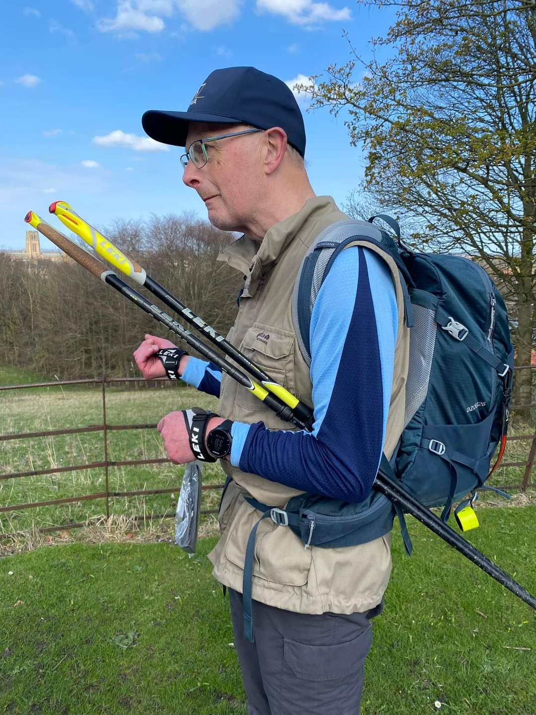
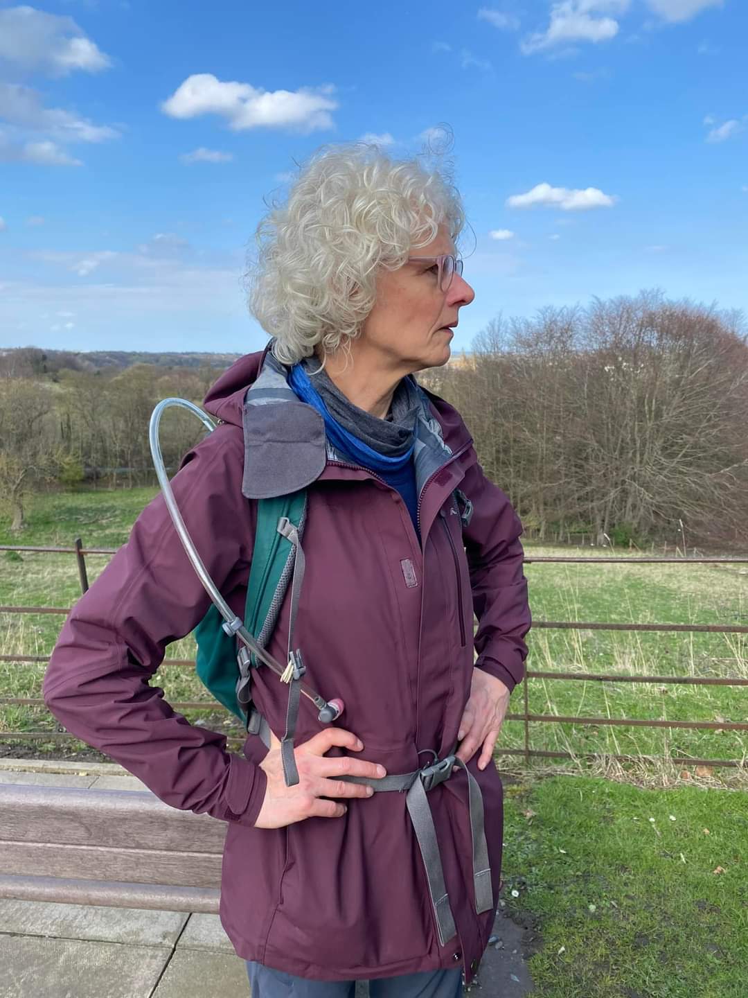
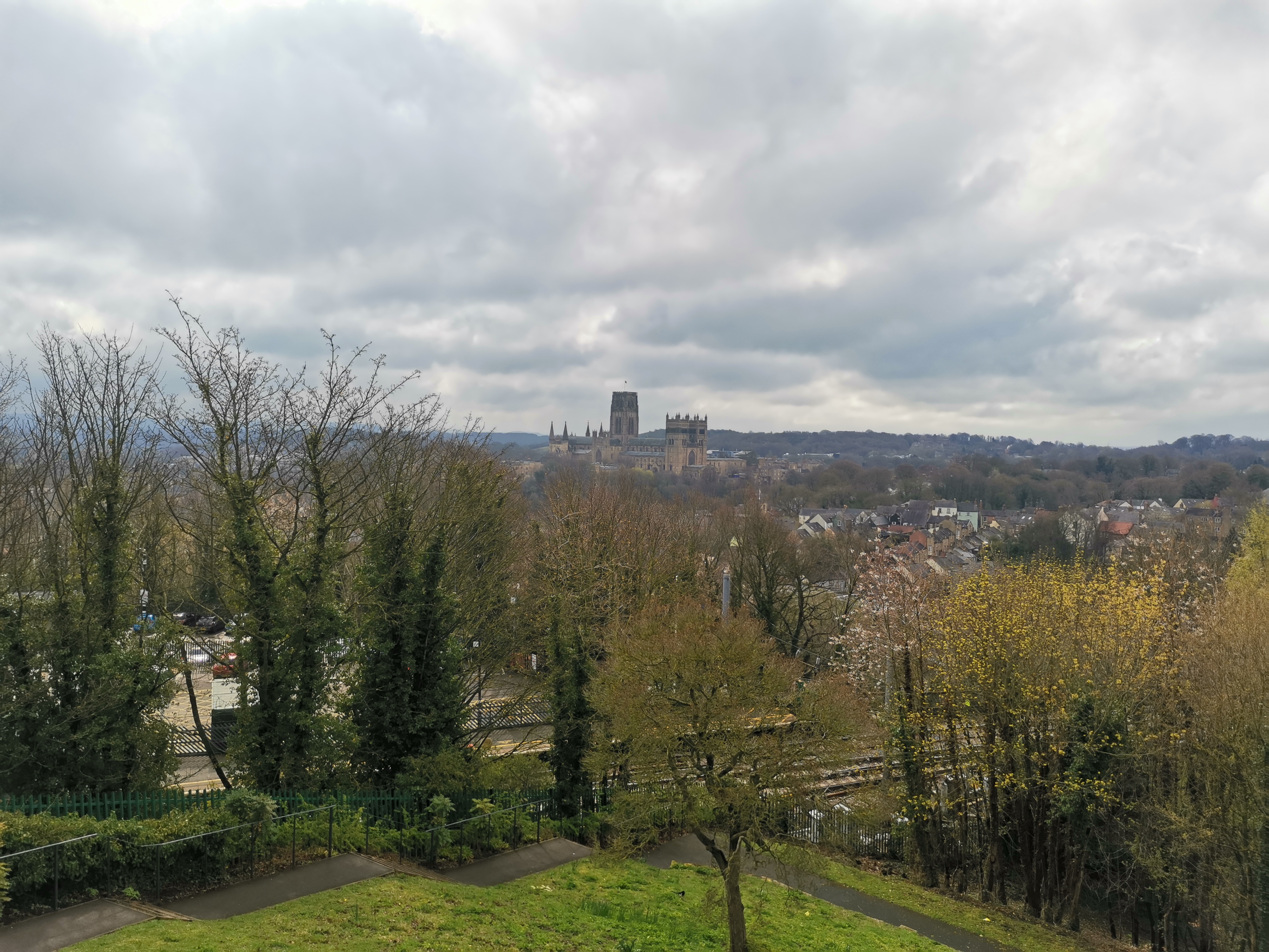
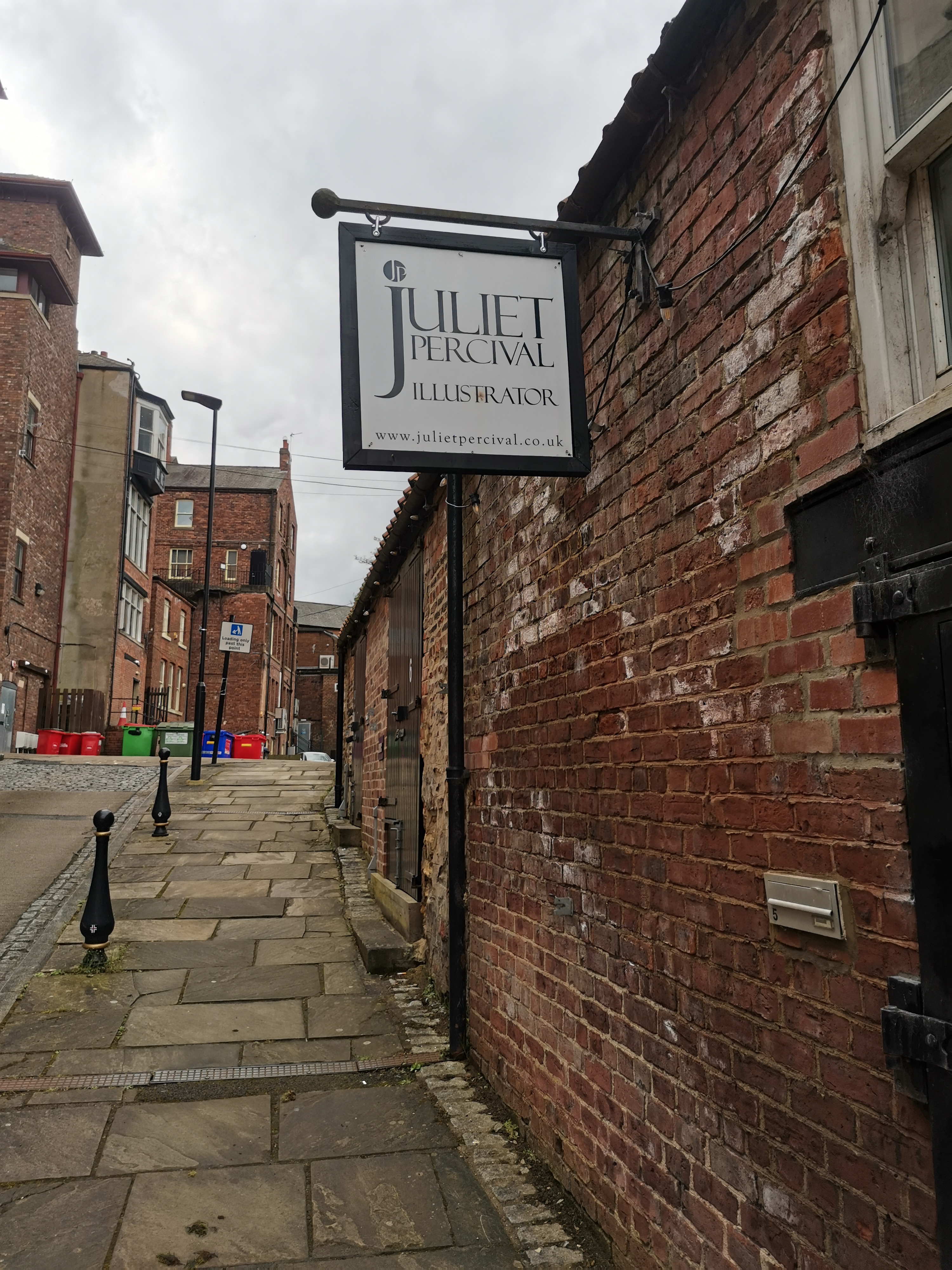
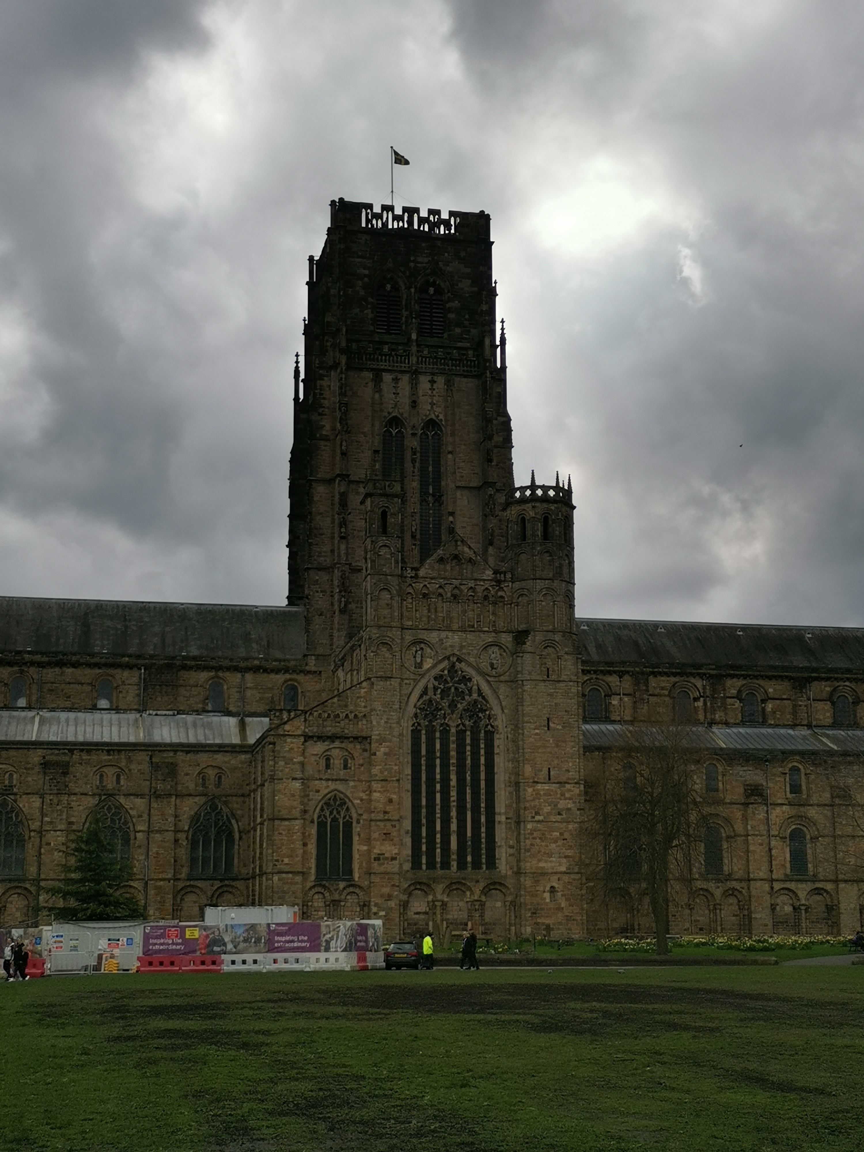
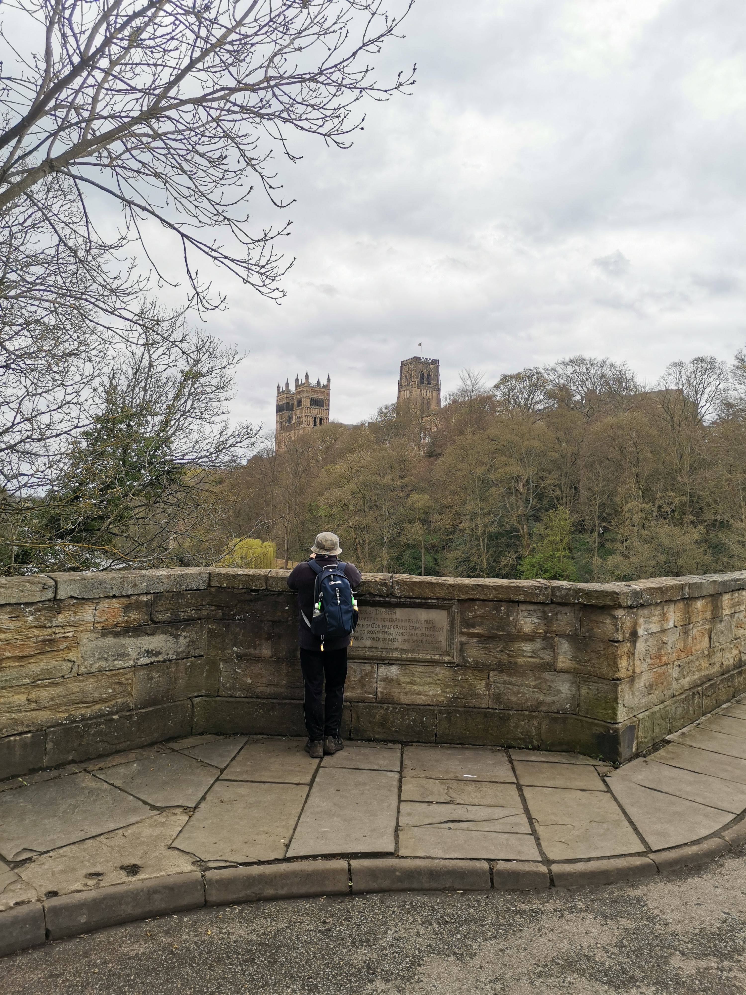
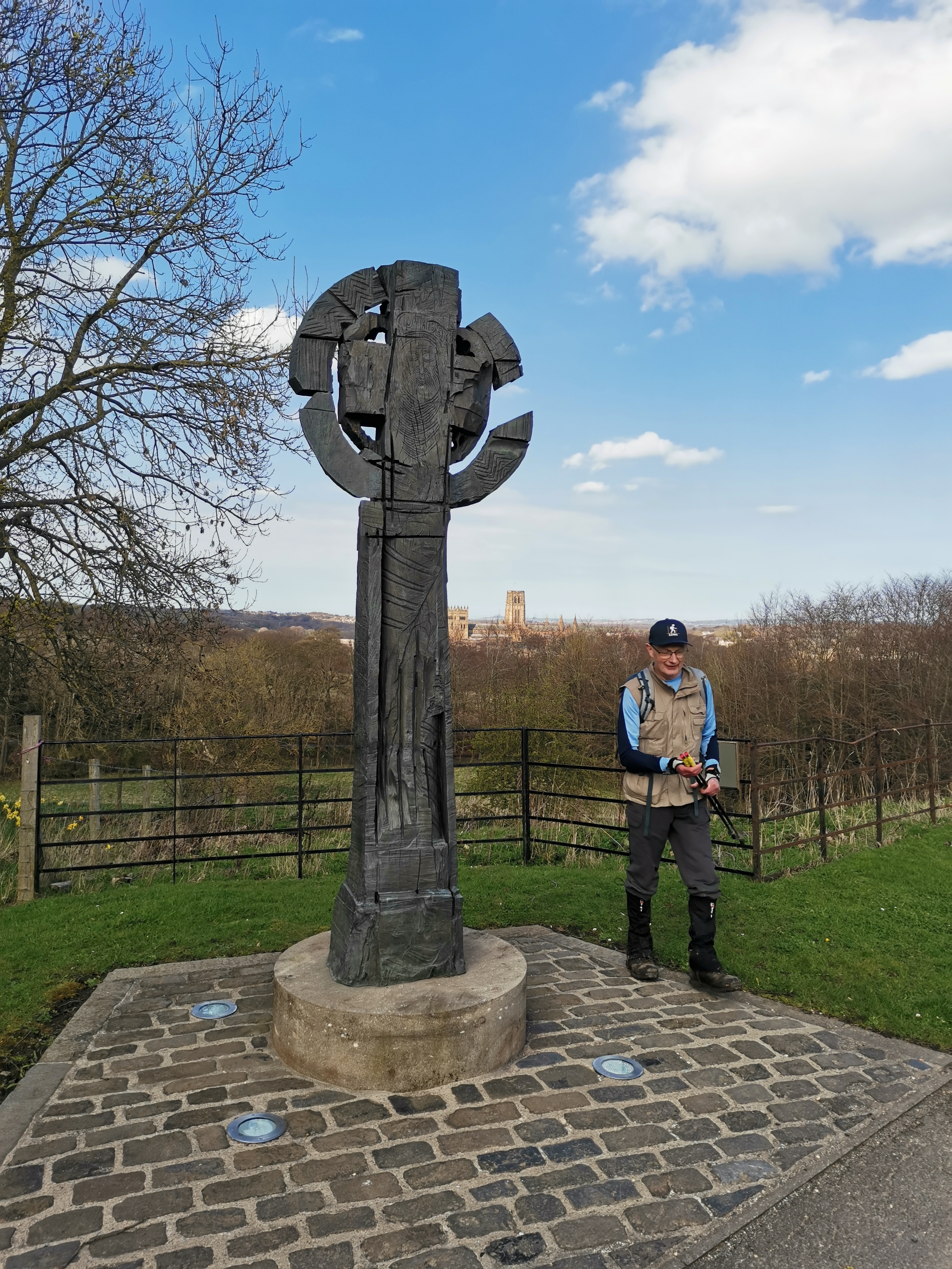
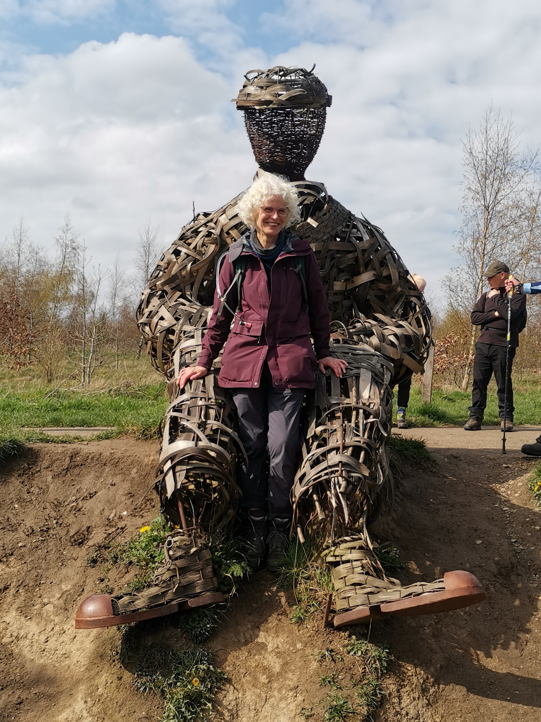
On the same day that many of our group were doing battle with the 50 miles, Woldsman challenge walk, Dianne Hannaby led a group of 12 of us on a tour of the nooks and crannies of Durham City. We began at Broompark car park, where three railway paths commence, (1) Lanchester Valley, (2) Deerness Valley, (3) Brandon-Bishop Auckland. On the walk we discovered that Durham is a rather hilly City, providing several views of the Cathedral from several angles. In good weather, t-shirts for the first time this year, we visited Wharton Park and the railway station area. Our first stop was outside the now closed Durham Light Infantry Museum. We walked north of the city to the Frankland farm and Brasside Ponds area. We returned to the city centre by the Weardale Way passing Crook Hall and crossing PennyFerry Bridge. We passed Fowler's yard, where our group member Juliet Percival has her art studio ( Juliet being away doing the Woldsman). We ascended the Pilgrims alleyway to the Cathedral Green where we had our second break. I tried to convince Anja that according to Bill Bryson, Durham Cathedral is the finest building in the world, but Anja wasn't having any of it. The flag displayed from the heights of the Cathedral Tower was the Durham Diocese Flag, not to be confused with the Old Durham County Council Flag. Suitably fed and watered we set off across Prebends Bridge to the Houghall area. We admired the Wicker man at Low Burnhall. On the return journey we passed through the Mount Oswald area and the several university colleges including John Snow college. There followed a discussion about John Snow, who he was and what was his connection with Durham. He is possibly the most important physician of all time, who born in York, had his medical education in Newcastle. During an outbreak of Cholera in London in 1854, he tracked the geographical location of each case and deduced that the deaths had occurred among people living near the Broad Street Pump. The pump handle was removed and the epidemic came to an end. This signified a new understanding of the nature of the disease. So in one day we saw the most important building in the world and admired the history of the most important physician in the world. Near the end of the end of the walk we passed through the Neville's Cross area, then alongside the River Browney and returned back to Broompark. 19 miles and 2000 feet of ascent in the end. Thanks to Dianne for preparing and leading this excellent walk, I wonder if Dianne may be persuaded to lead some more walks in the future? ( Paul Nellist)Other Files
GPX
A GPX file of the above route may be downloaded by clicking the link below.
Note: GPX files of Group Walks are created by LDWA Group members, and may be downloaded only by other LDWA members. They should not be made available outside the LDWA, and are used at members' own risk.
Login to Download (Members Only)You can use the interactive controls to zoom in and out and to move around the map, or click on a path or a marker for more info. (interactive map help)
You can use the interactive controls to zoom in and out and to move around the map, or click on a path or a marker for more info. (interactive map help)
© OpenStreetMap contributors under Open Database Licence
Rights of way data from selected Local Authorities
Large scale digital mapping is provided by John Thorn
At high zoom levels the route is indicative only.
Gallery
Maps:
You can use the interactive controls to zoom in and out and to move around the map, or click on a marker for more info. (interactive map help)
© OpenStreetMap contributors under Open Database Licence.
Rights of way data from selected Local Authorities.
Large scale digital mapping is provided by John Thorn.


