
Back to College
Sat 24th Jun 2023
Walk Details:
Hethpool, Easter Tor, Wester Tor, Hare Law, Coldburn Hill, Red Cribs, the Schill, returning by Trowupburn and Great Hetha
Entry Details:
Walk Report
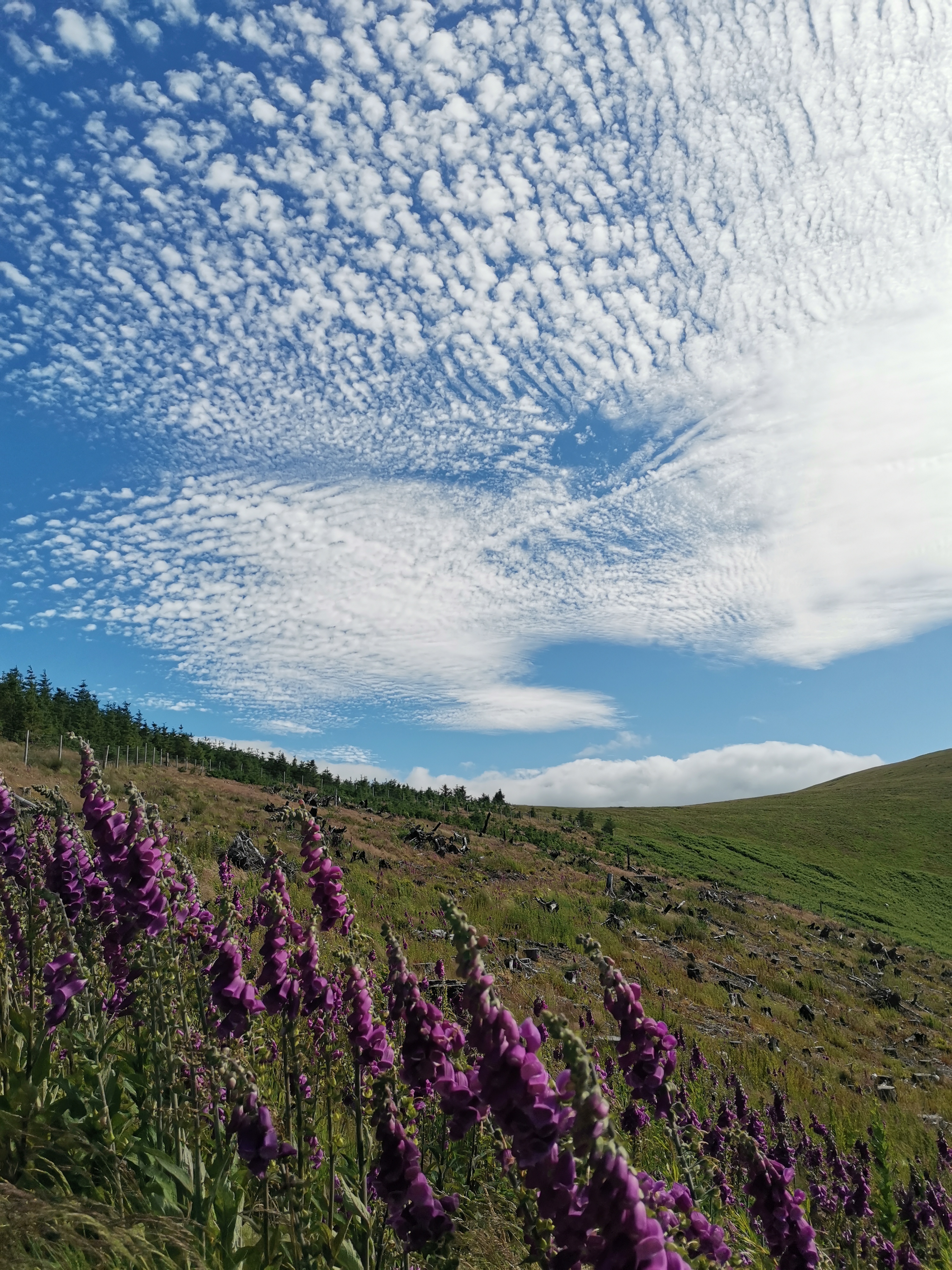
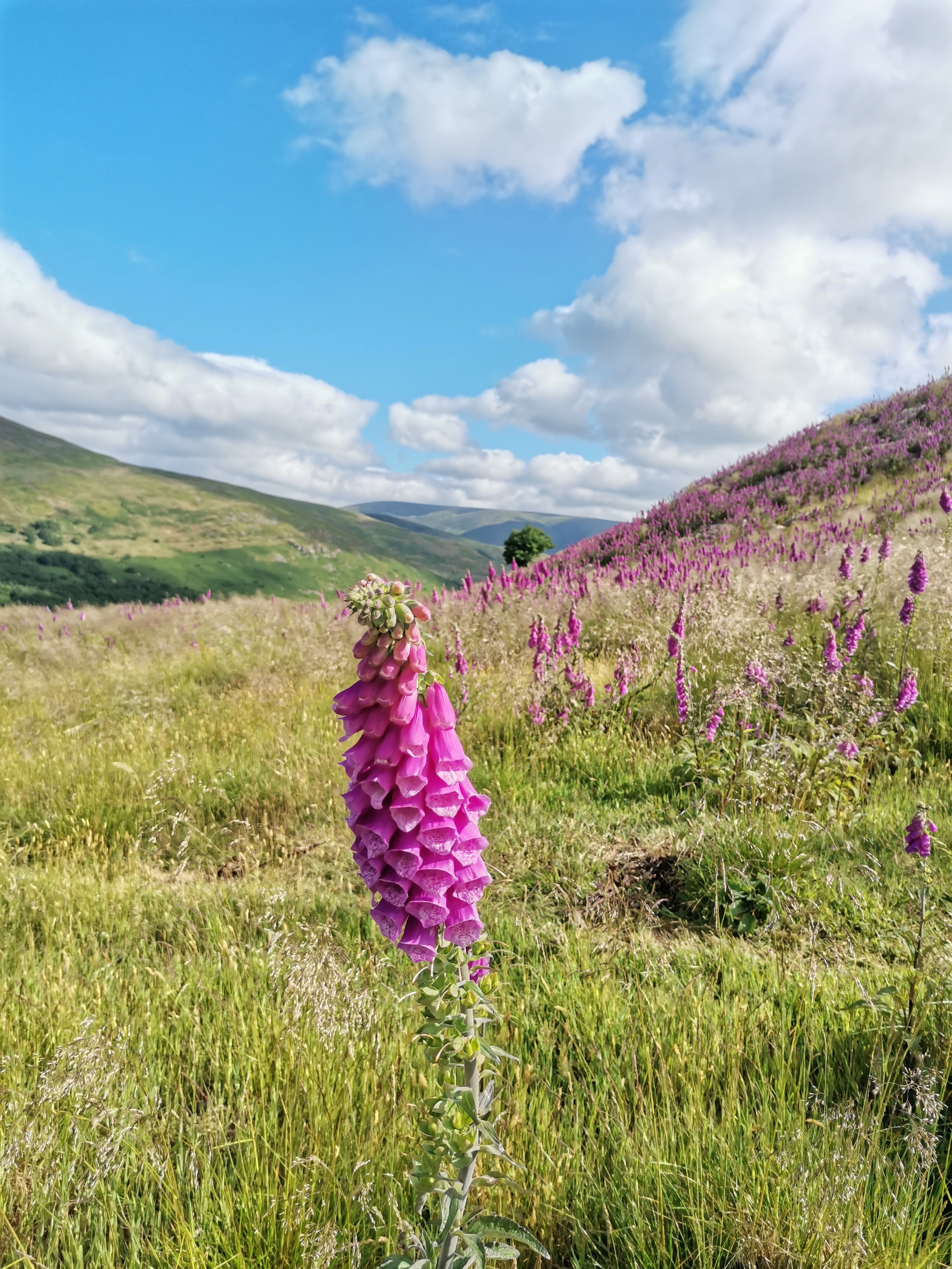
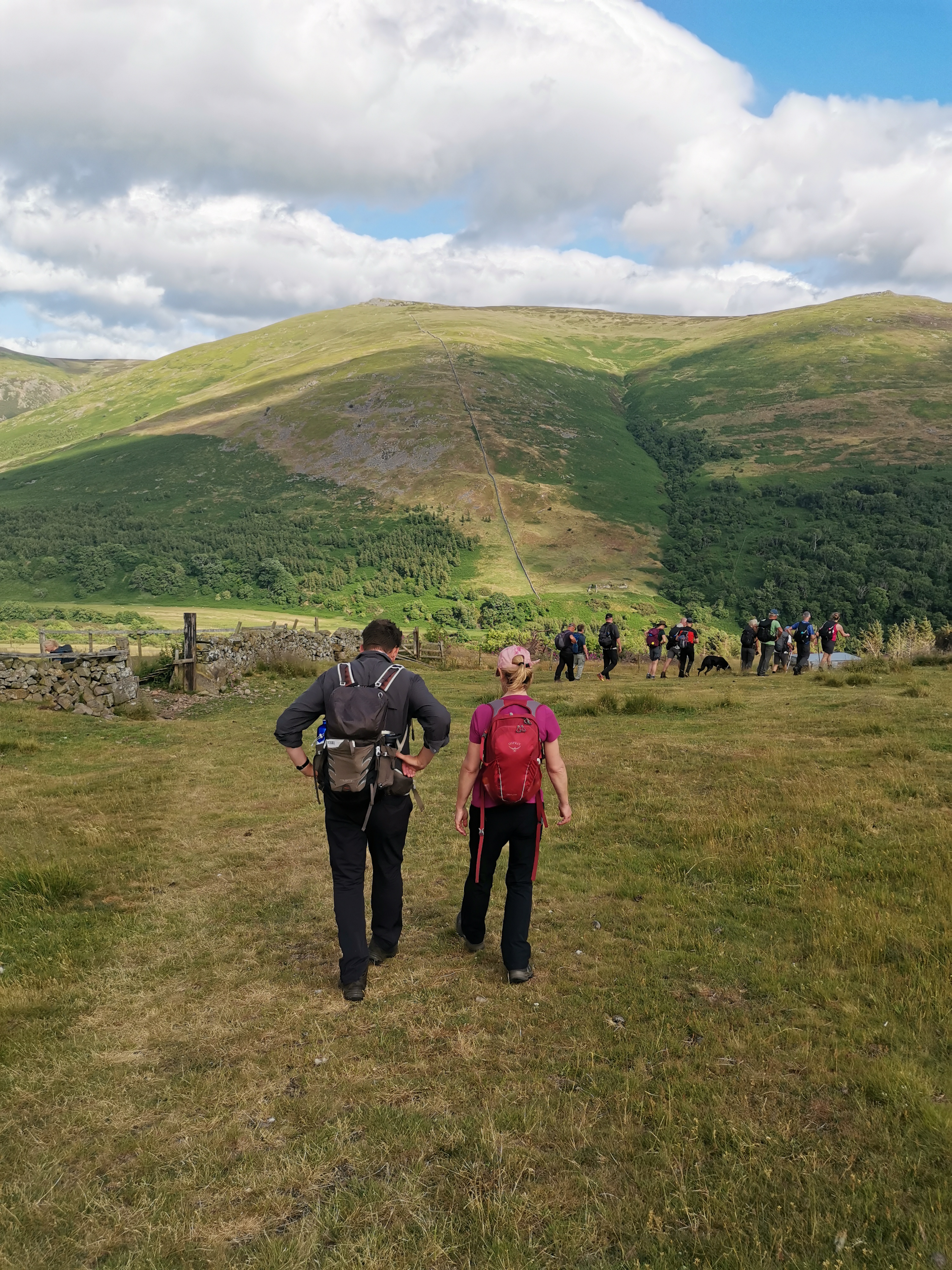
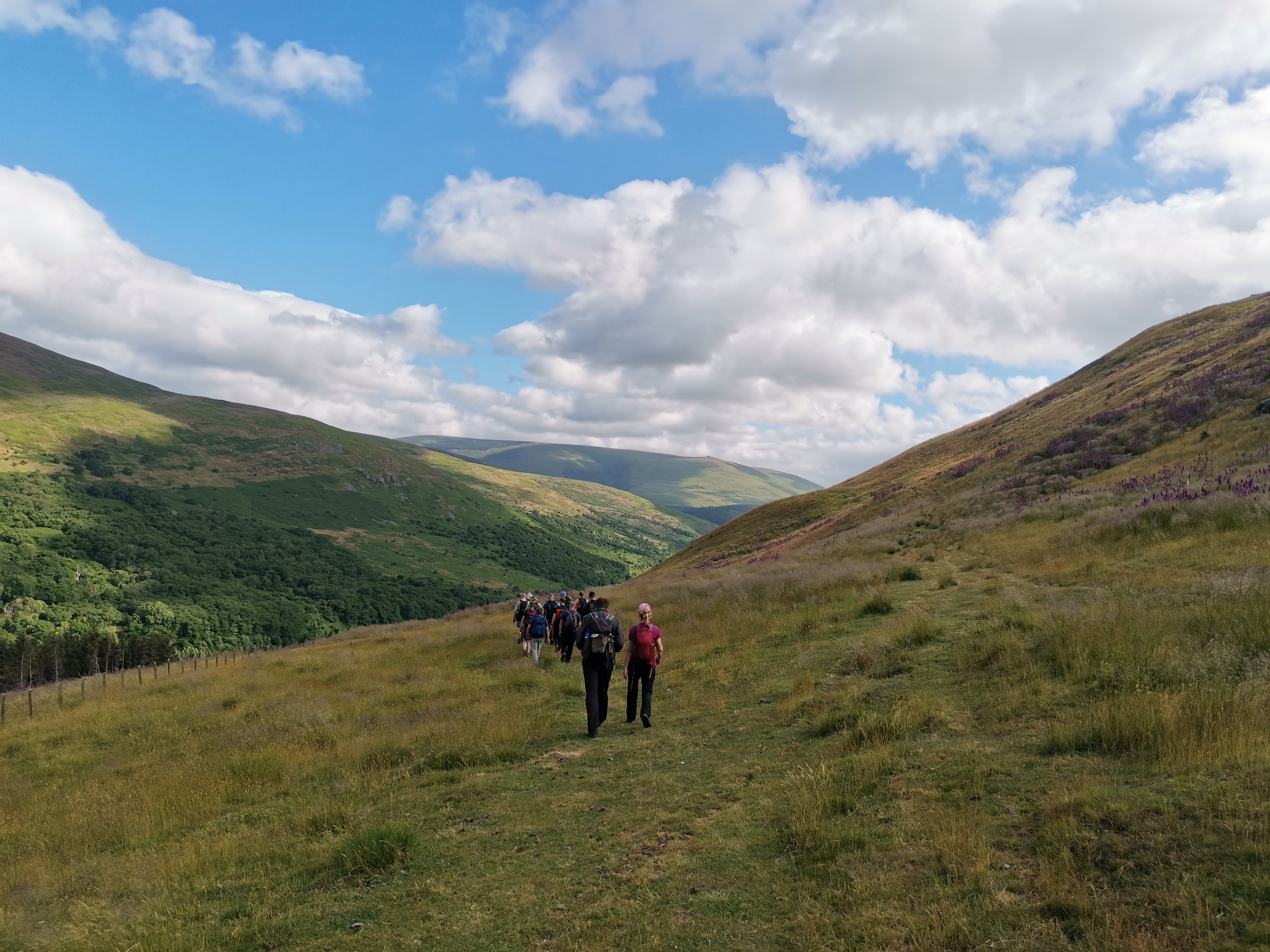
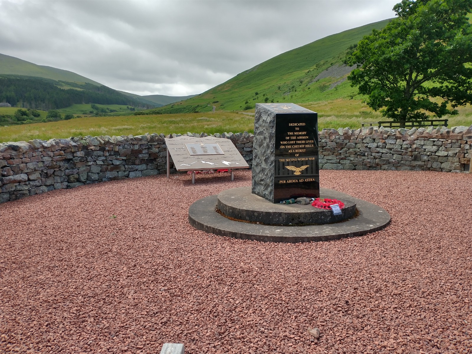
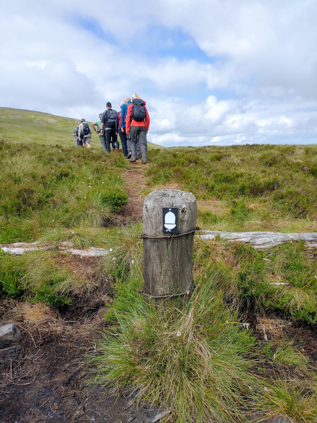
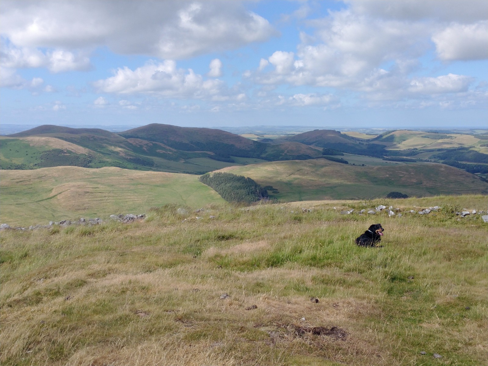
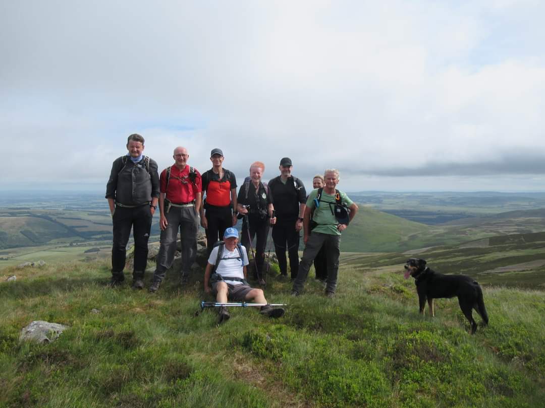
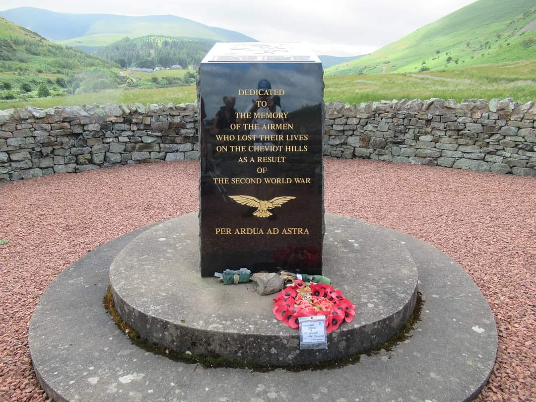
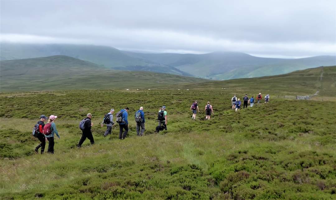
We enjoyed such a cracking c. 18.5 mile walk in the Cheviots on Saturday. I journeyed up the day before staying at Kelso, enjoying a browse round the town, including the Abbey (from the railings as it was closed for works) and, as always, the antique and charity shops before pottering round the gardens of Floors Castle. We were meeting at Hethpool cp at 8.30a.m. on Saturday, with warnings not to be late as 'it was going to be a long day'! With this in mind I was up at 6 and left my accommodation at Coppertree in Kelso soon after 7.45 for the 30 min journey, checking in with our erstwhile leader, John Scott, promptly at 8.20 - phew! The walk was along the College Valley first climbing up the nearby eastern slopes, to Easter Tor 438m, Wester Tor 518m, both outliers together with Hare Law of The Newton Torrs 537m. Dropping down from the trig point at the summit of Newton Torr to Hare Law 518m we had our first break looking down on to the distinctive Cuddystone Hall, a meeting place for local shepherds and their families. and WWII memorial. From here we made our way down to Southernknowe farmstead walking past the site of a small Romano-British enclosed settlement and crossing the College Burn, Stella, our four legged companion enjoying a splash about. We paused to look at the memorial in memory of the airmen who lost their lives on The Cheviots 1939-1945 before continuing up stream on the lower eastern slopes of Black Haggs Rigg to Red Cribs at the head of the College Valley. Here we had our lunch break facing Hen Hole and The Cheviot on the opposite side of the valley. We were on the Pennine Way at this point and nearby was the Mountain Rescue Hut which was seeing some activity on account of it being the last day of the Montane Summer Spine Race - a non-stop and unsupported 268 mile race over 156 hours along the Pennine Way from Edale in Derbyshire to Kirk Yetholm on the Scottish borders. There were a steady few runners/walkers pausing at the hut and then passing us by as we idled over lunch enjoying the view. Having looked at the details of the challenge - a 'brutal endurance race' - I think I might have to let this one pass me by!!! I'm currently reading Nicholas Crane's 'Two Degrees West', a walk along England's Meridian, a very enjoyable and amusing read. I've just reached the point when he refers to the spine challenge races describing the Pennines as 'probably the muddiest, wettest, most misted, featureless environmentally ravaged range of hills in the world' - a tad harsh I think! - and he continues 'I would have to be bound, gagged and strapped to a stretcher to endure the Pennine Way' - and this from one on his own mad venture! Suitably nourished and rested we left Red Cribs following the Pennine Way in a northerly direction higher up on the western side of the College Valley to The Schil 601m, then Black Hagg 549m from where we descended to Trowupburn before the final climb up to Great Hetha 343m. Here we had our final break, laying back in the sunshine, before returning to Hethpool, much closer than we thought. The weather for the day was perfect, the heat being tempered by cloud, a strong breeze, and a little mizzle at one point - hence my crazy hair again! The views all round and out to the coast were breathtaking. We were on our final ascent to the summit of Great Hetha when the clouds largely cleared and we could feel more of the heat. By this time I was on my 3rd bottle of juice, pleased that I'd tucked the extra one in my ruck sack. Lying back enjoying the views on such a glorious summer's day was perfectly delightful. I could have stayed there for some time. Thank you John for another tremendous walk in The Cheviots - my 3rd visit now - and to everyone for their splendid company. On route home a few of us paused at Stannington for my favourite black stuff and more enjoyable banter. It was 8.45 when I got home and after a quick shower hit the sack. (Beryl Massey)Other Files
GPX
A GPX file of the above route may be downloaded by clicking the link below.
Note: GPX files of Group Walks are created by LDWA Group members, and may be downloaded only by other LDWA members. They should not be made available outside the LDWA, and are used at members' own risk.
Login to Download (Members Only)You can use the interactive controls to zoom in and out and to move around the map, or click on a path or a marker for more info. (interactive map help)
You can use the interactive controls to zoom in and out and to move around the map, or click on a path or a marker for more info. (interactive map help)
© OpenStreetMap contributors under Open Database Licence
Rights of way data from selected Local Authorities
Large scale digital mapping is provided by John Thorn
At high zoom levels the route is indicative only.
Gallery

.jpg)
.jpg)
Maps:
You can use the interactive controls to zoom in and out and to move around the map, or click on a marker for more info. (interactive map help)
© OpenStreetMap contributors under Open Database Licence.
Rights of way data from selected Local Authorities.
Large scale digital mapping is provided by John Thorn.


