
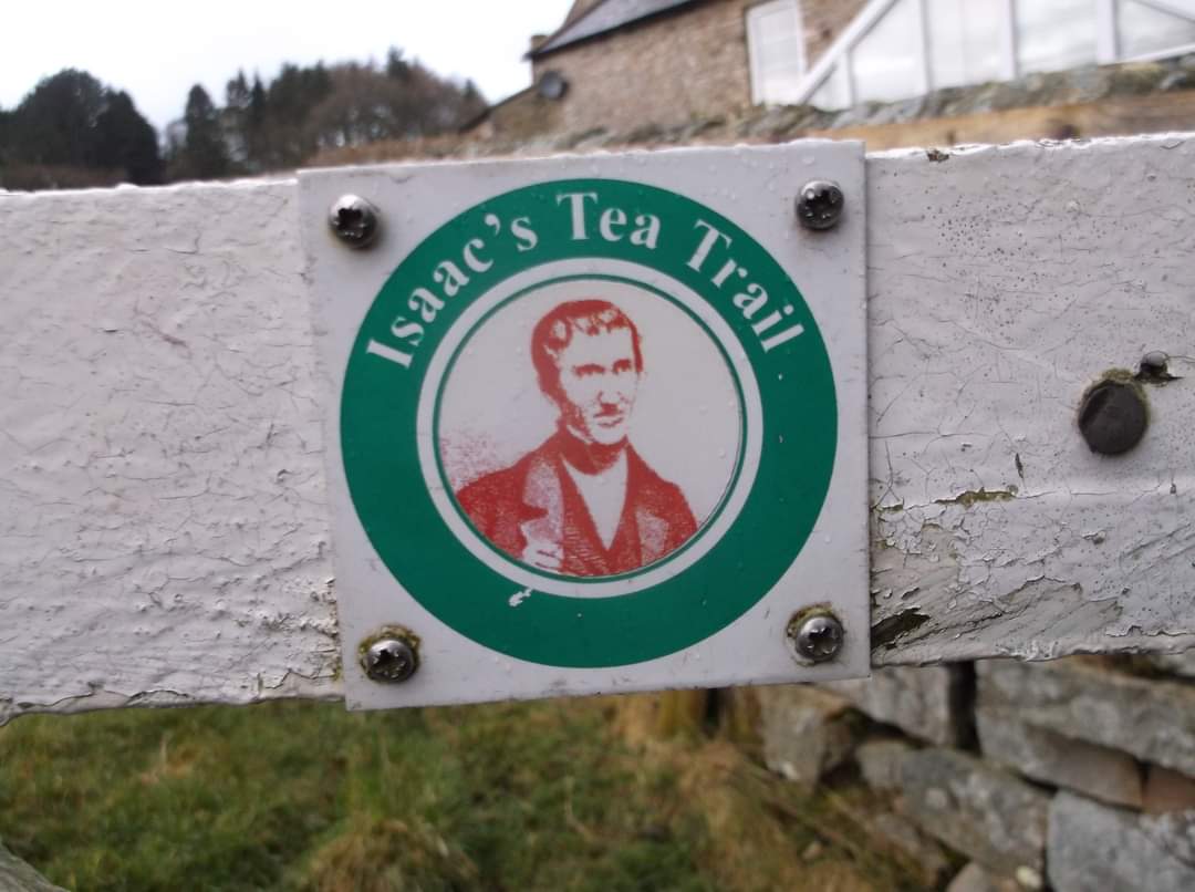
Isaac's Tea Trail
Sat 18th Mar 2023
Walk Details:
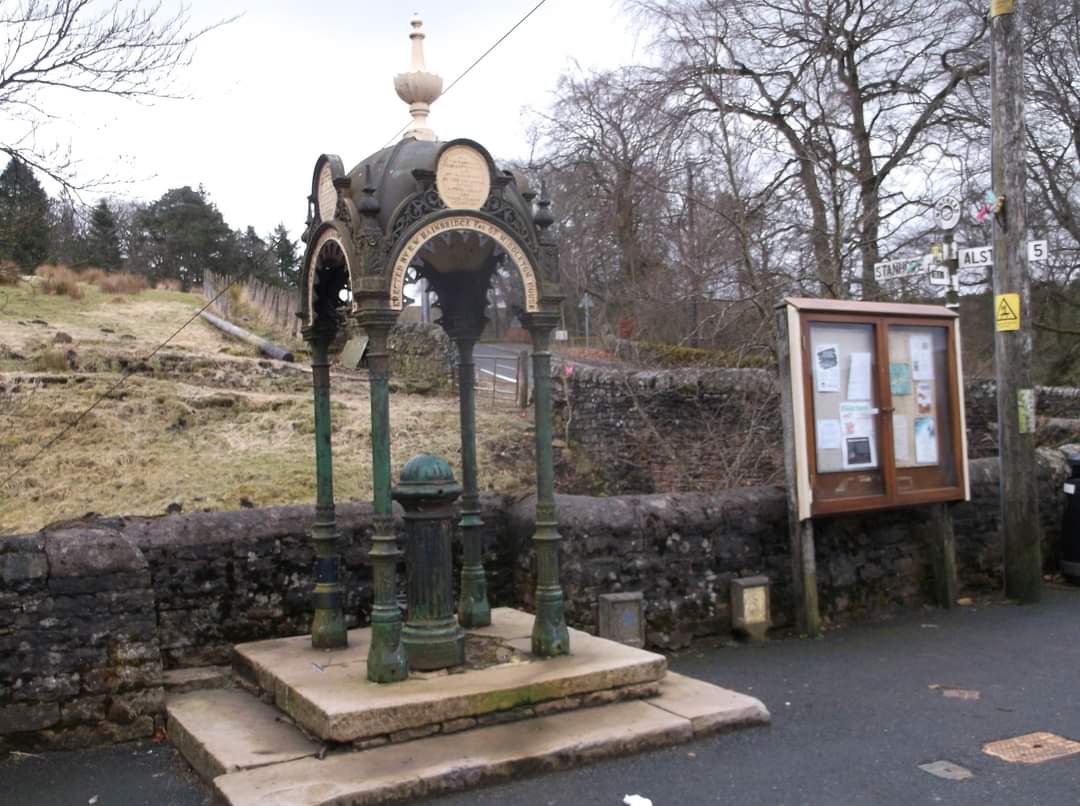
A challenging 37 mile circuit over the North Pennines with over 5000ft of ascent, visiting Allendale Town, River East Allen, Carrshield Moor, Nenthead, River Nent, Alston, Blagill, River South Tyne and Ouston Fell. Named after a character of yesteryear, this route starts at Isaac's Well in Allendale and passes a number of Methodist Chapels and other places associated with the Holden family, Isaac having worked as a travelling tea seller and money raiser in the mid-1800s. A plaque to Isaac Holden is at Isaac's Well at the start and finish of the trail, in Allendale Market Place. Isaac raised the funds for the well in 1849 to provide a safe water supply at a time when cholera and typhoid were rife.
Entry Details:
Walk Report
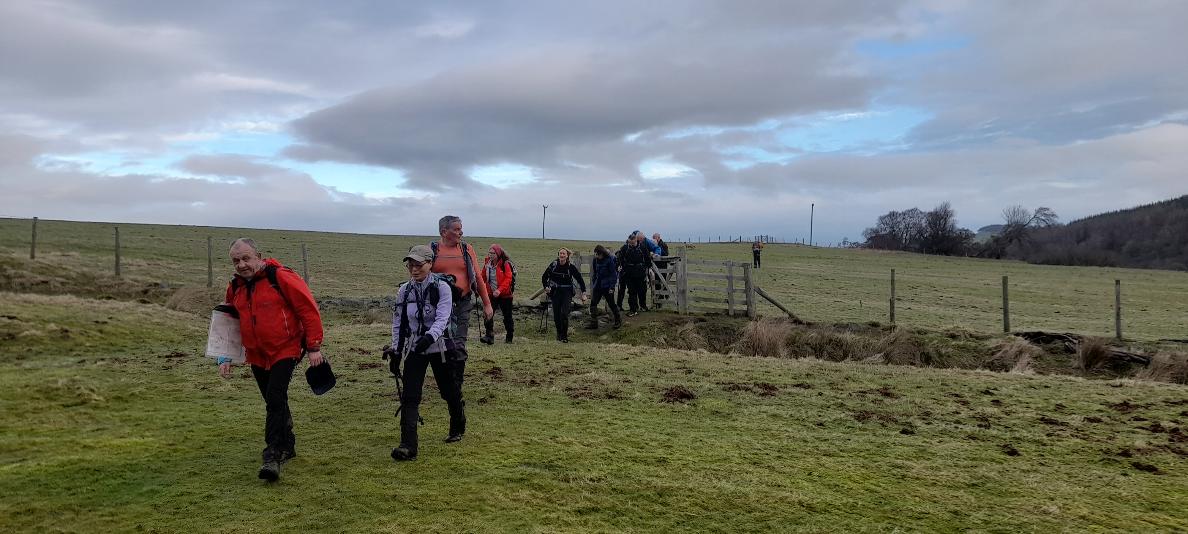
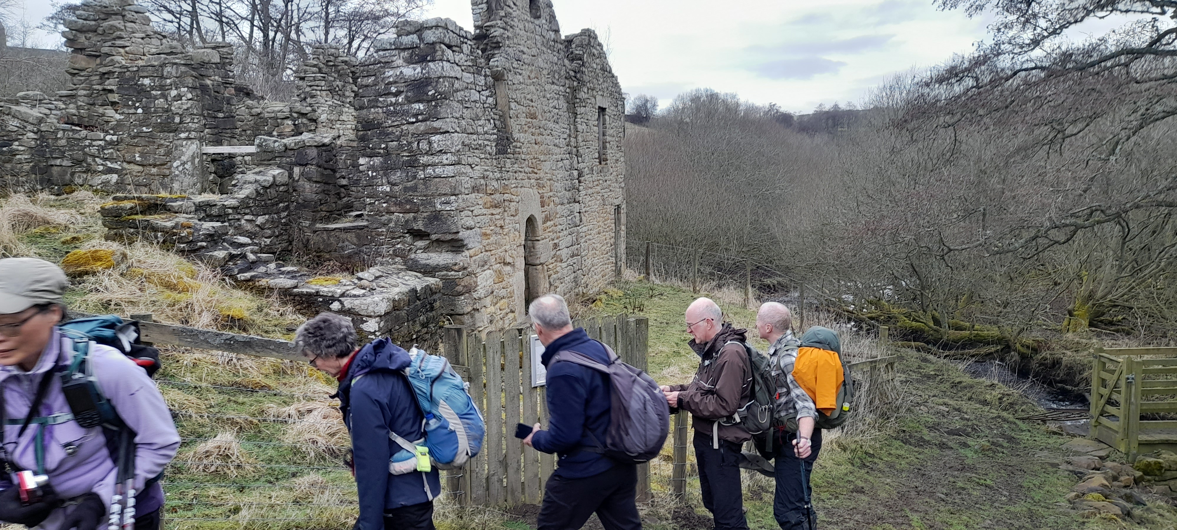
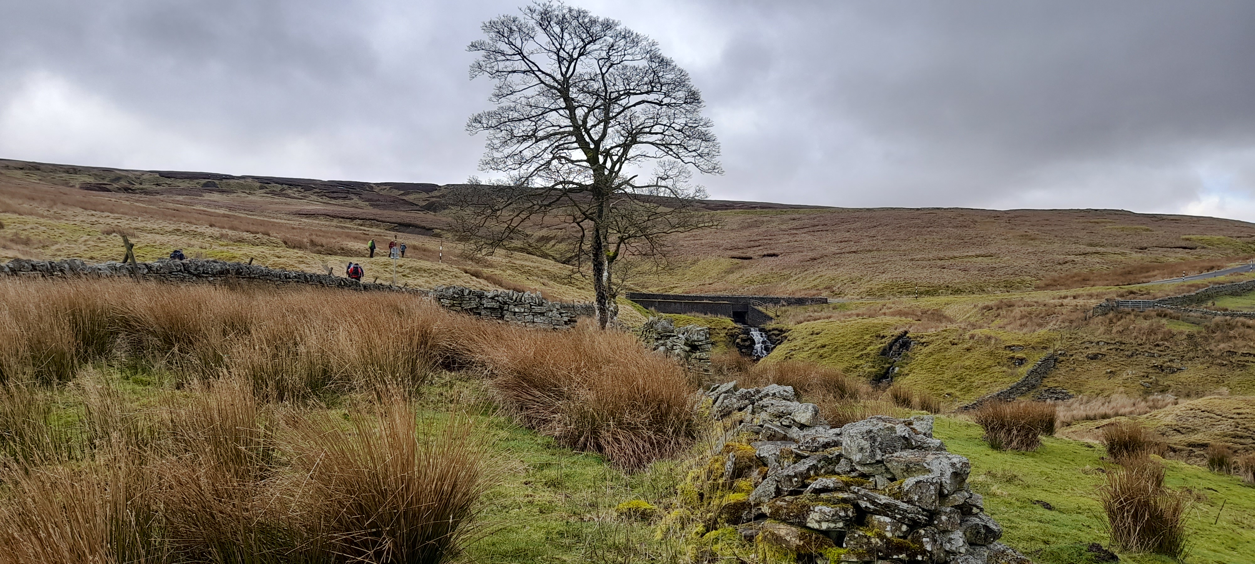
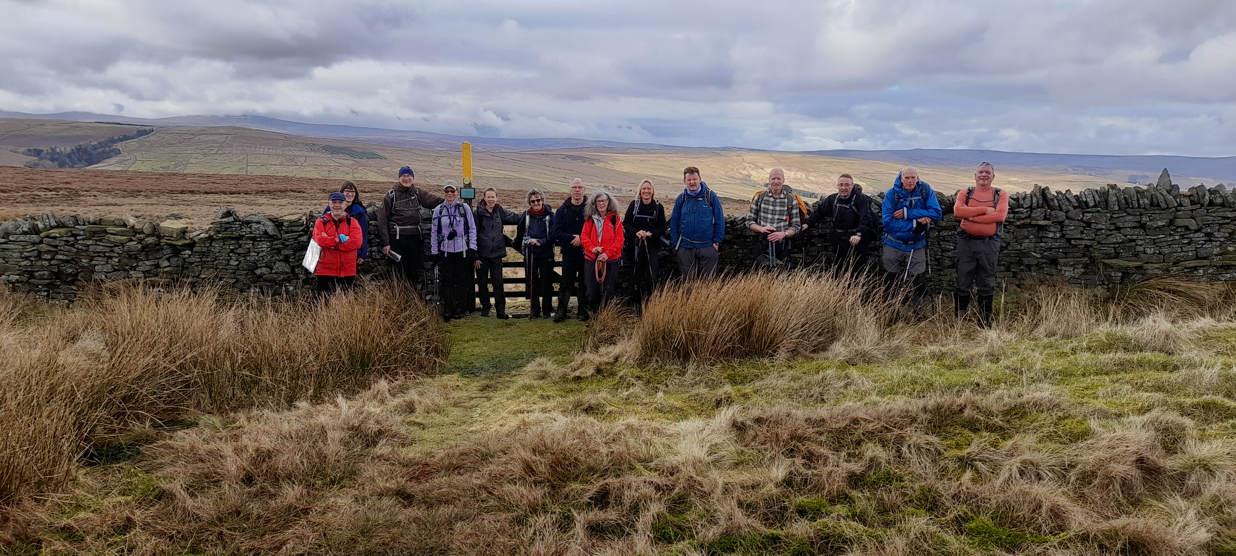
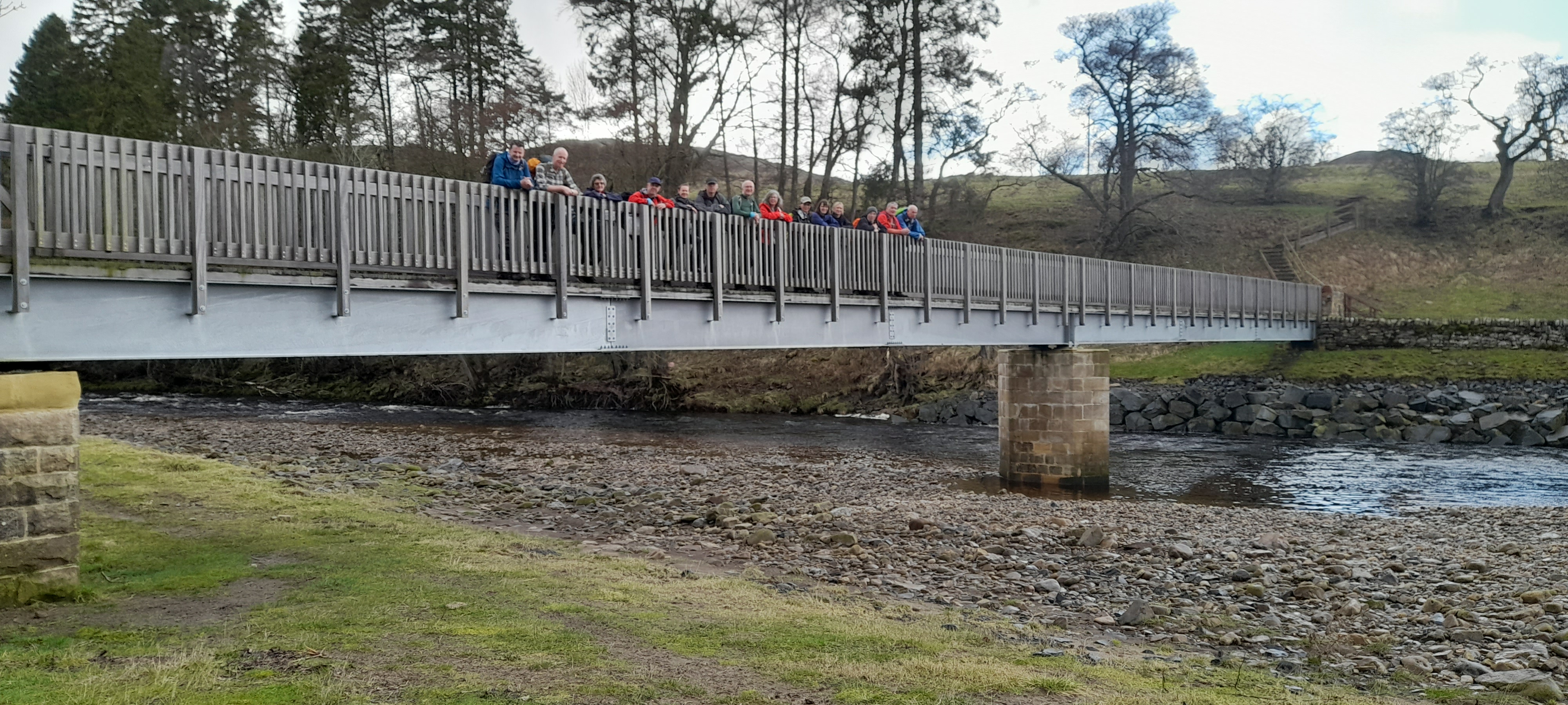
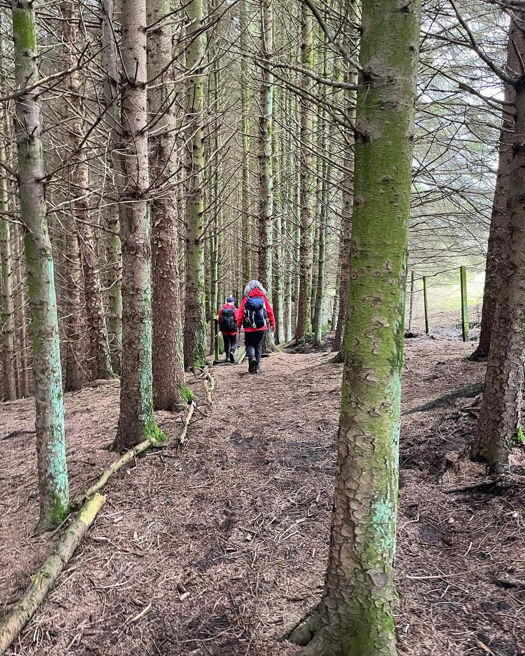
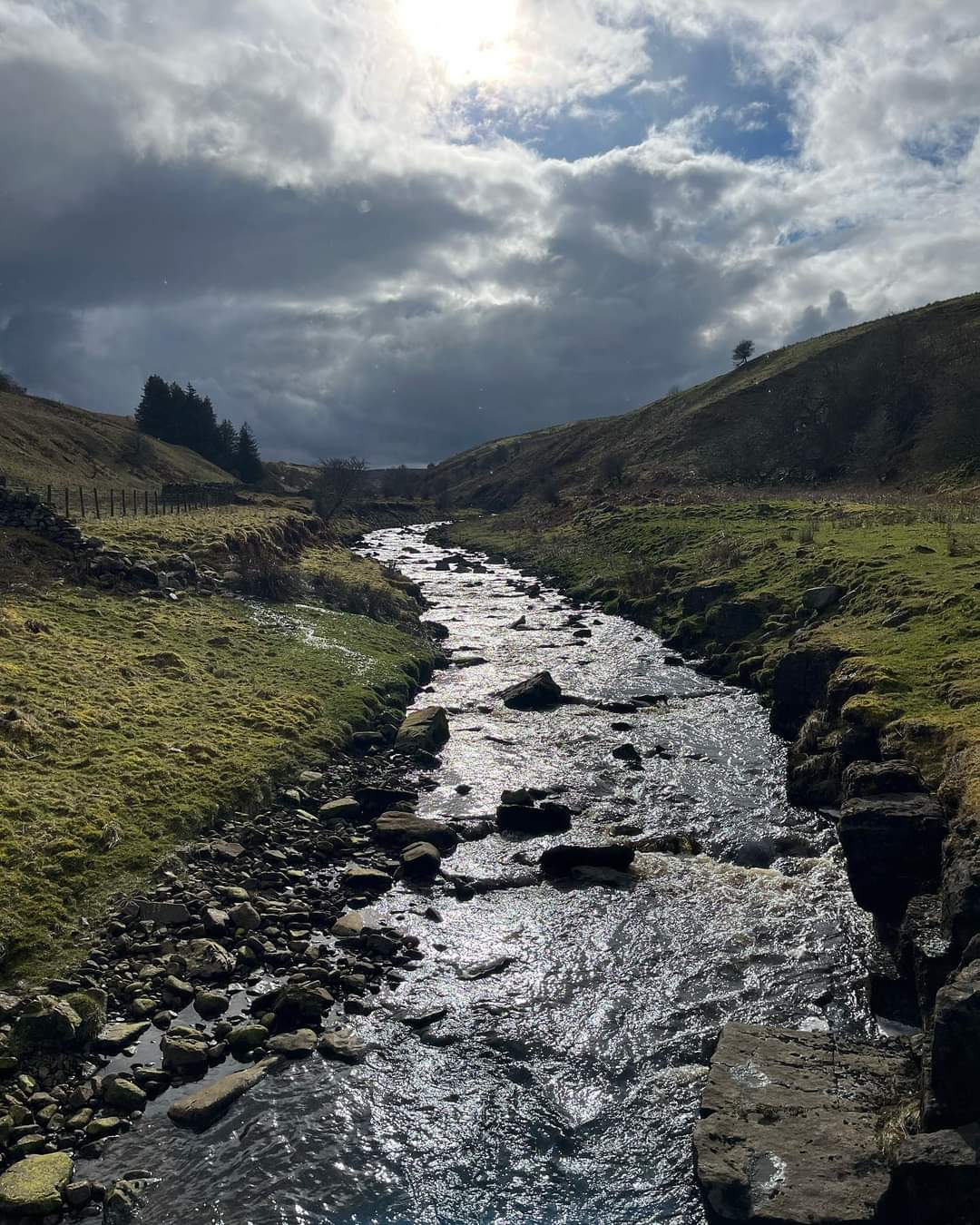
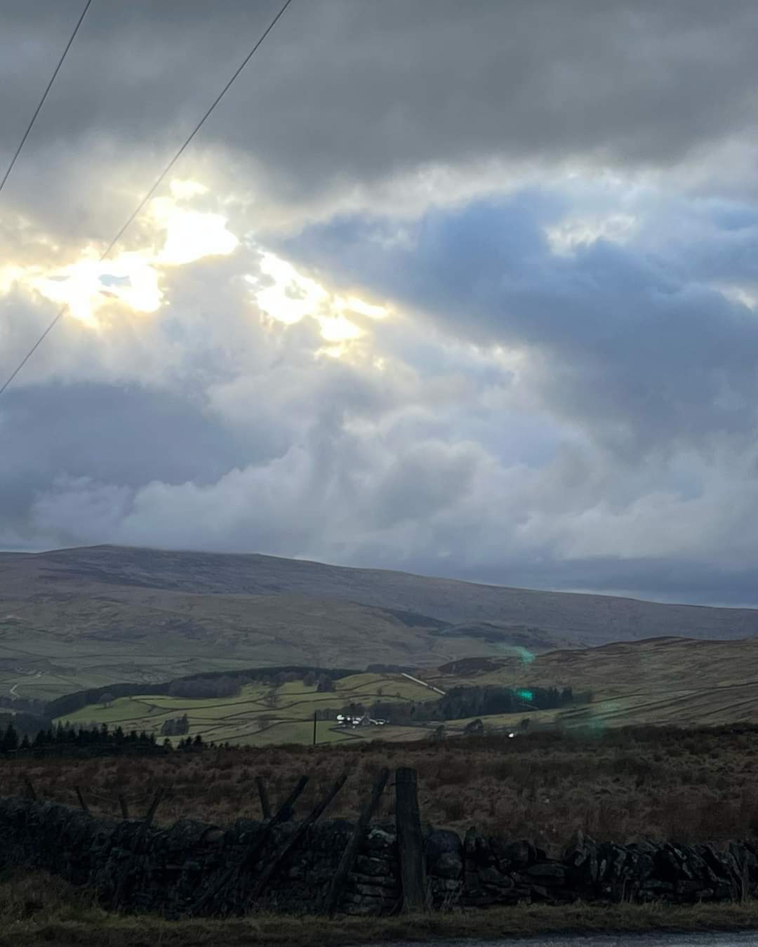
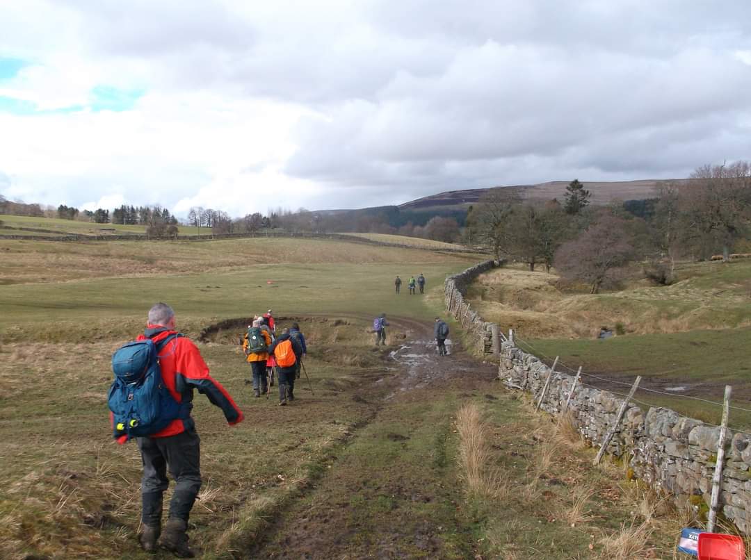
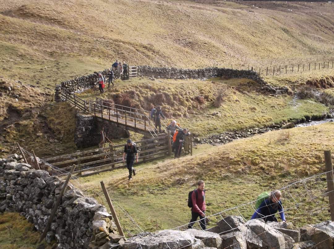
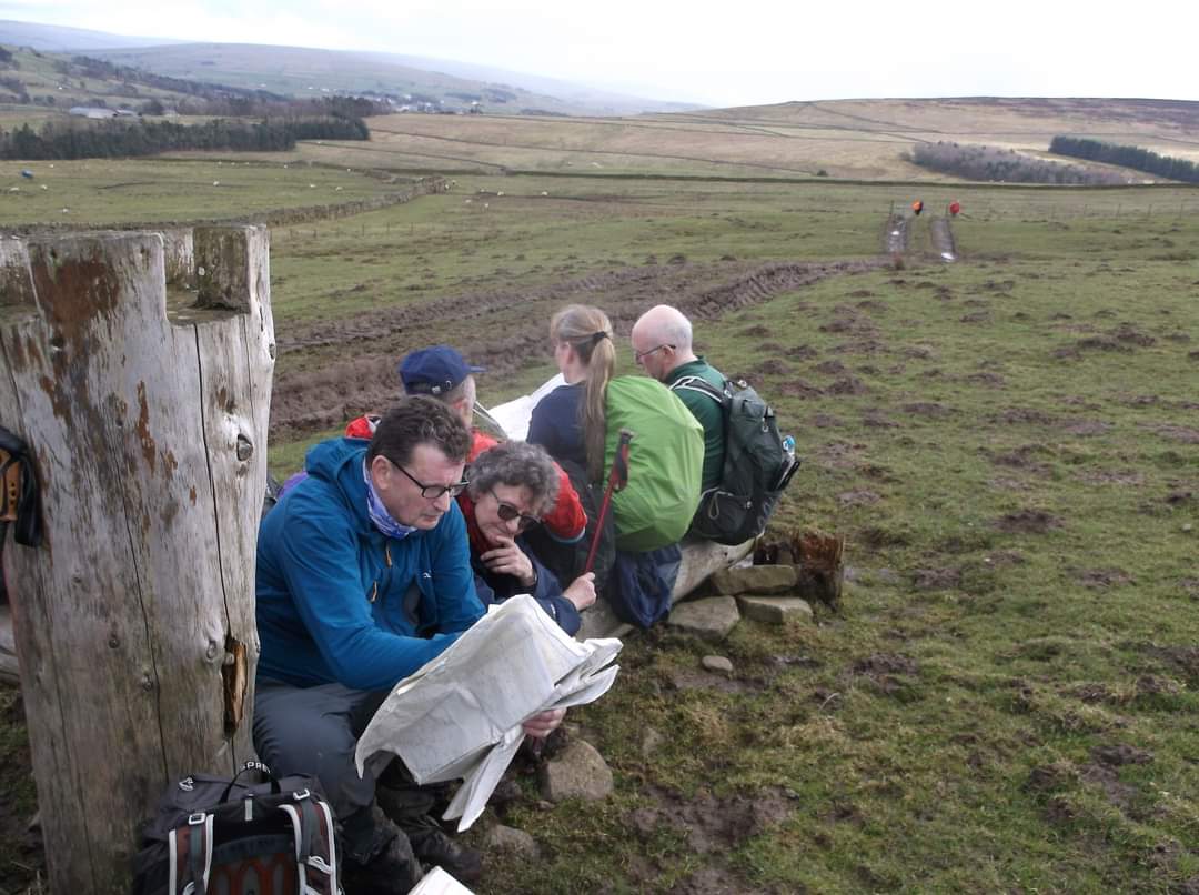
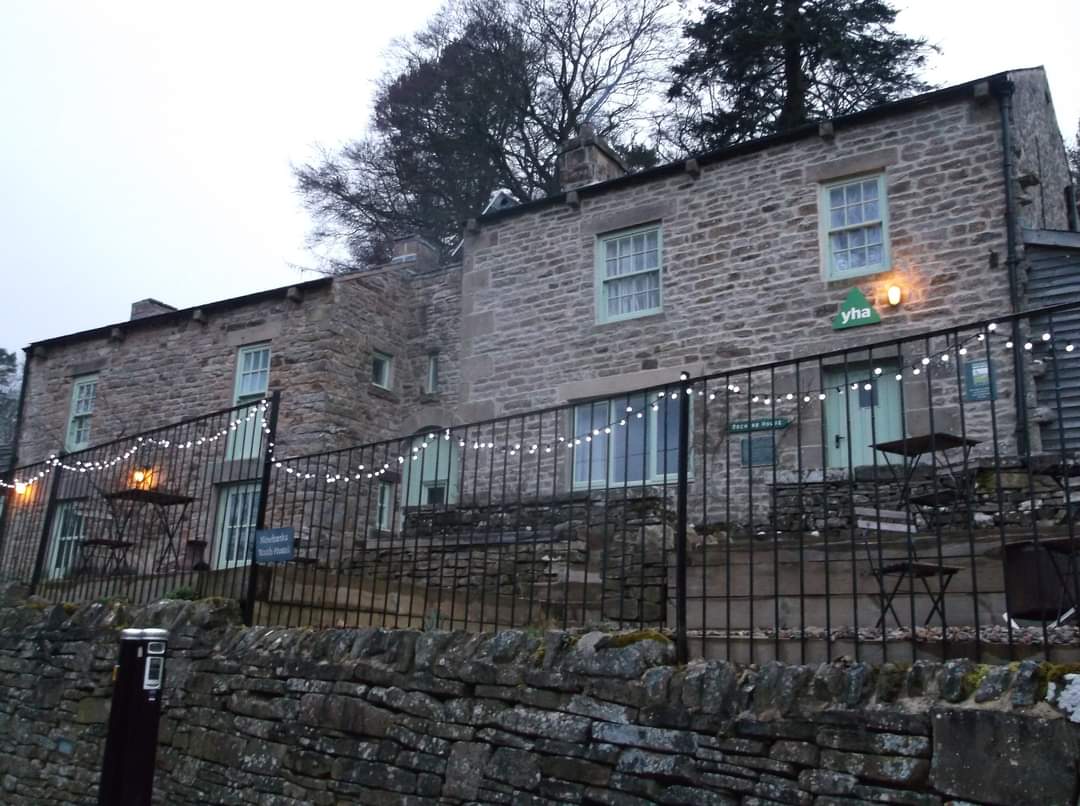
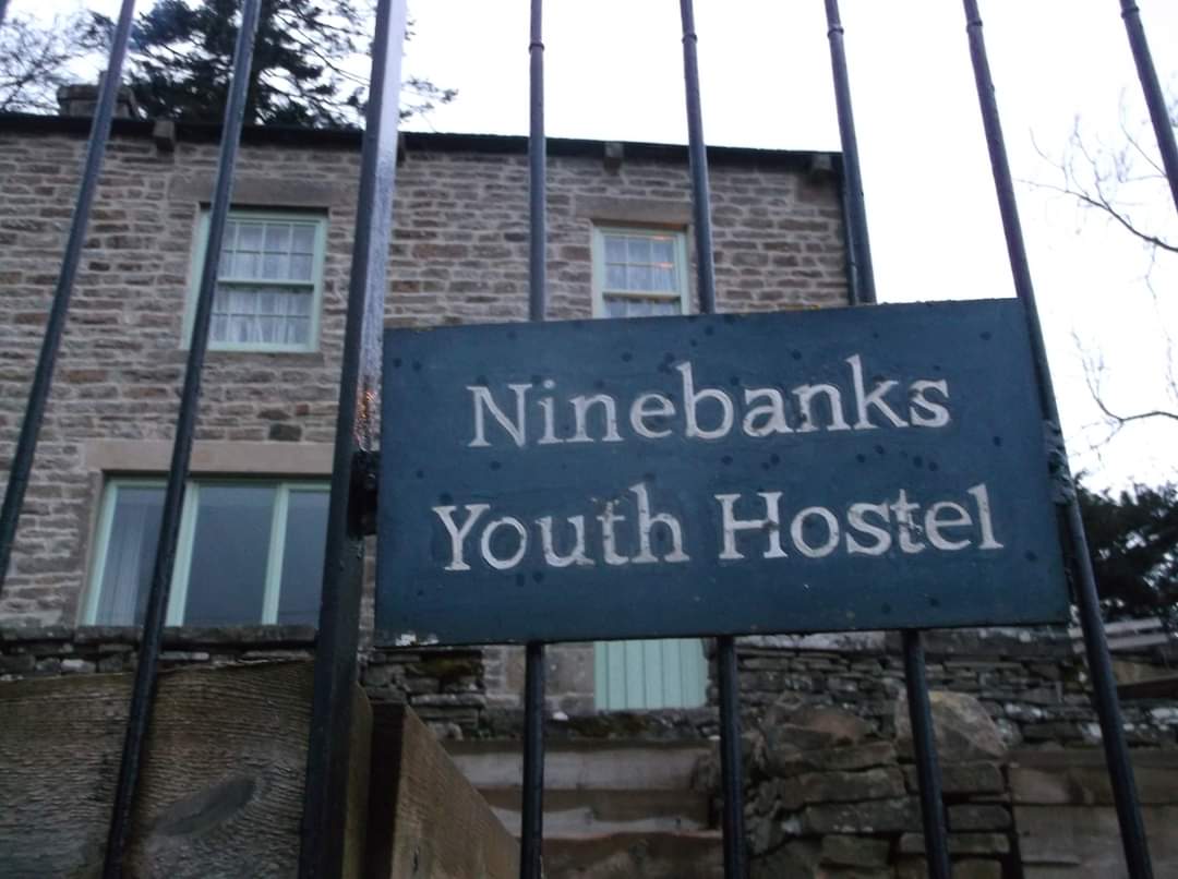
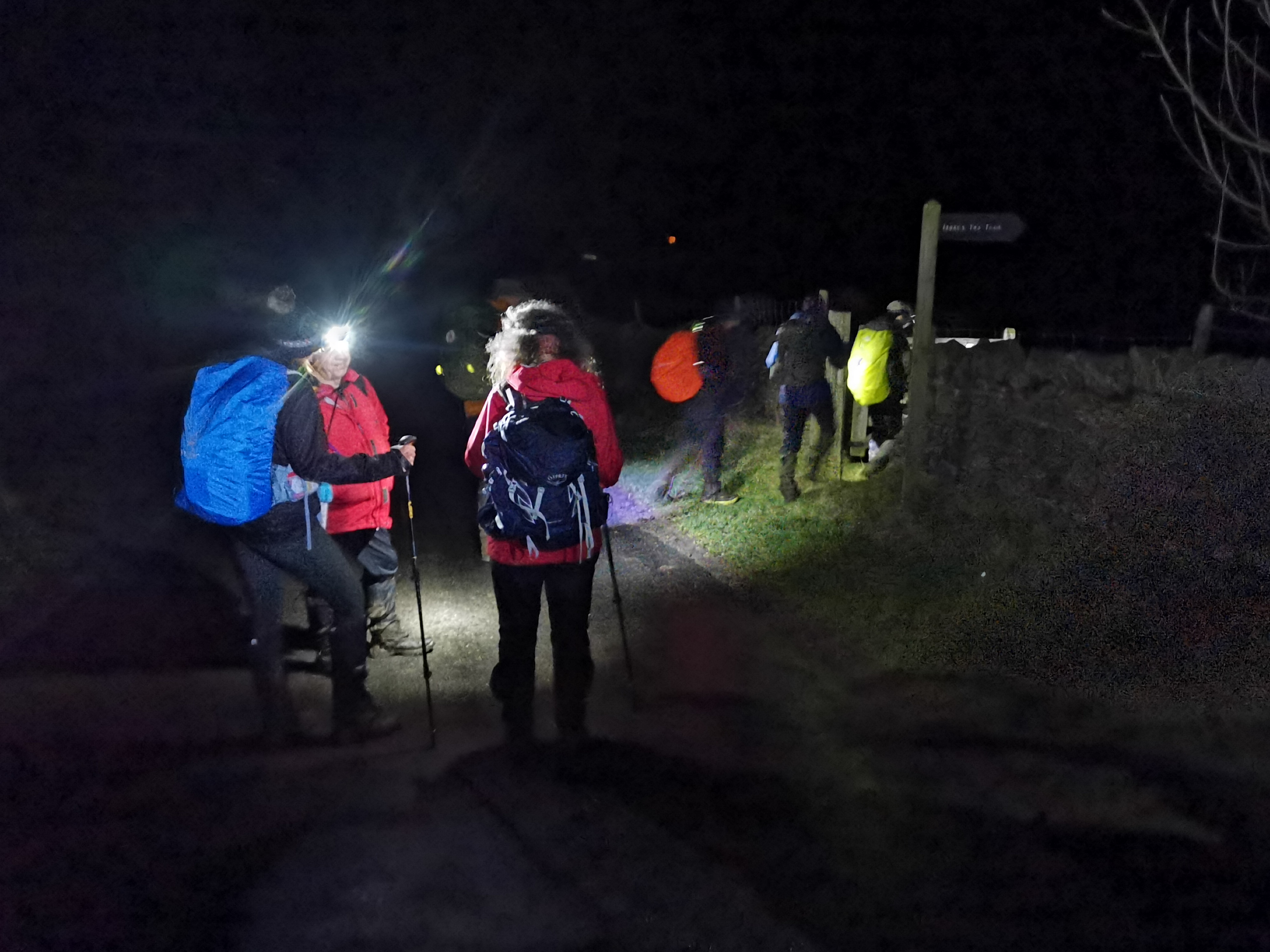
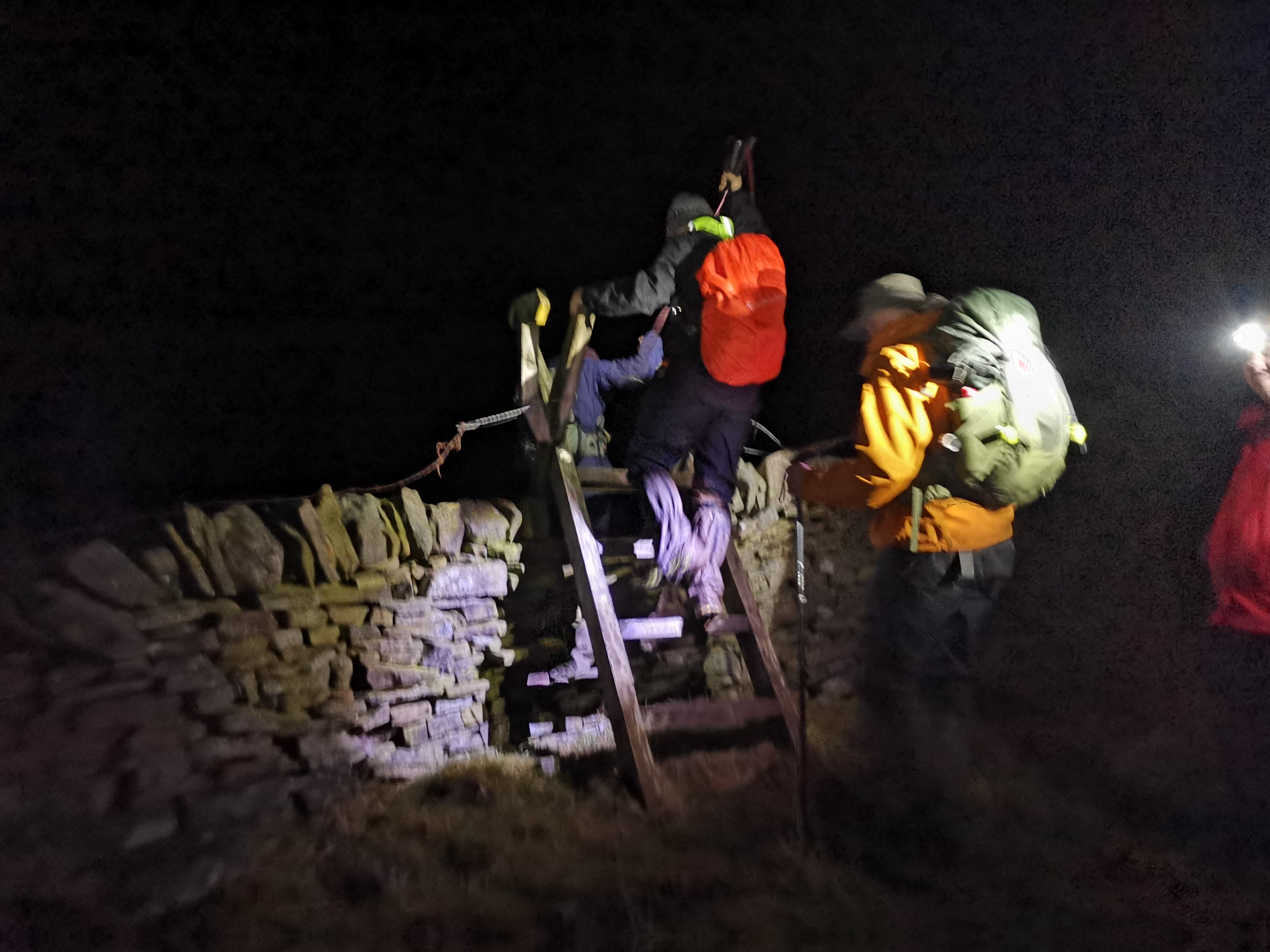
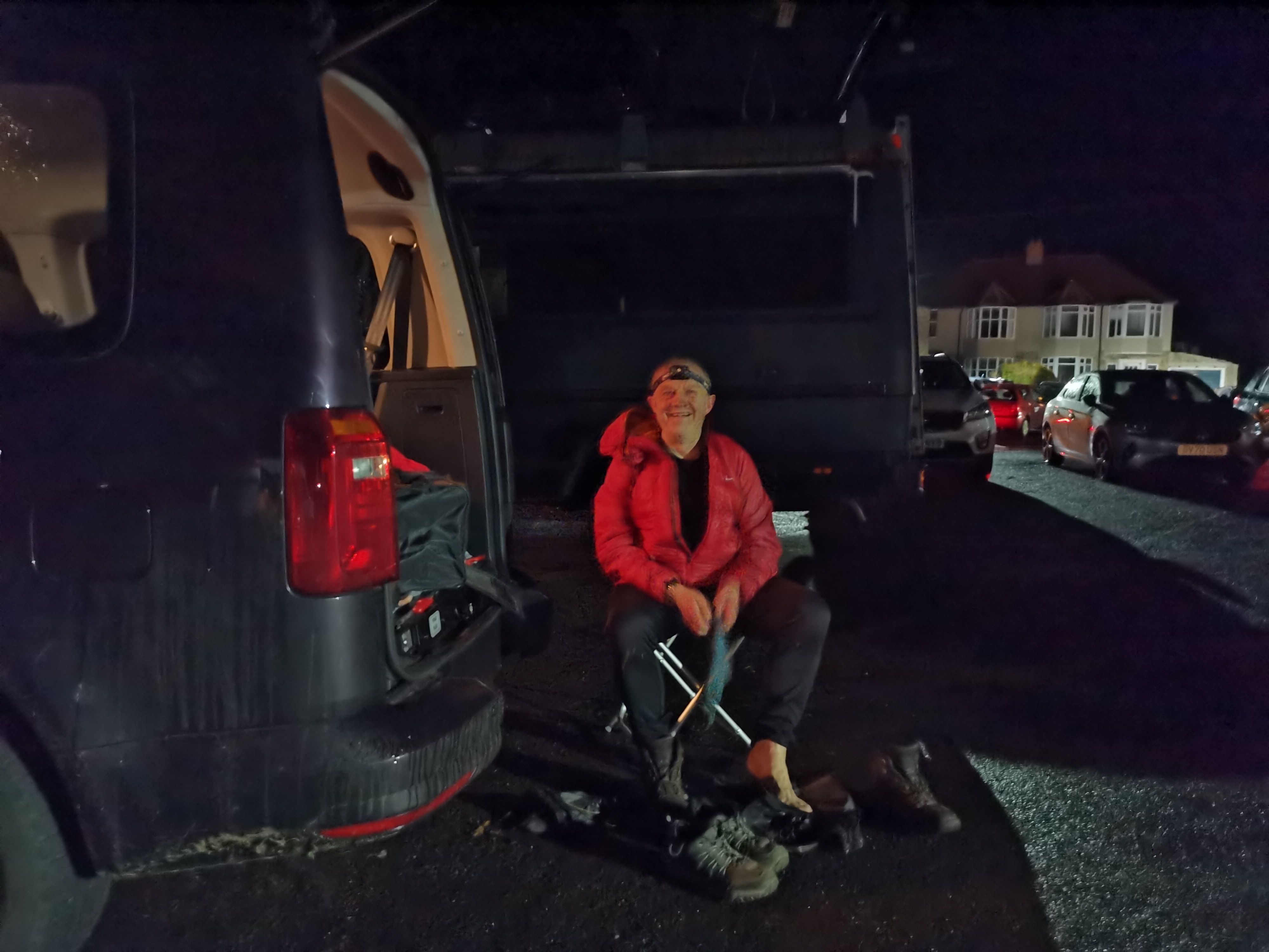
Isaacs Tea Trail, 18 March 2023 Where is Beryl when you need a walk report ! Fifteen intrepid walkers started the reported 37 mile trail at 7am, we were fortunate with mild weather and only intermittent drizzle, though ground conditions went from the slightly soggy to extreme mud or clarty, that in racing parlance, made for heavy going. An ambitious social walk perhaps, before Spring but it was seen as good preparation for challenges ahead, by all participants. The trail has been walked by the Group on several previous occasions, including shortly after its opening in 2003, when the start was at Ninebanks Youth Hostel, it was repeated over two days in 2012 to mark the 40th Anniversary of the LDWA. The route is now becoming established as a classic walking trail in the North Pennines, linking from its new start in Allendale with Alston the highest market town in England and the East and West Allen Valleys, following the byways used by Isaac Holden, an iterant tea seller and lay preacher and renowned philanthropist, after whom the trail is named. A sensible pace was adopted as we crossed many stiles and bridges over becks running to the River East Allen, passing the former bastle house at Rowantree Stob and Pry Hill Chapel, before reaching High Knockshield and the open moor at the 5 mile point. The bird song of newly arrived Curlew and Lapwing was terrific and a congregation of Plovers was spotted by our esteemed walks secretary and twitcher. There was an abundance of frogspawn and indeed frogs over the wet moorland as we approached Coalcleugh and ultimately the Cumbrian border and the drop down to our first stop in Nenthead after 11.5 miles. After a break, we continued to Alston, along the River Nent for our main lunch stop, just as the heaviest drizzle arrived, the Grade II, Market Cross provided shelter for the late lunch, though Roma our guest from North Yorkshire Group, slipped away for a cup of tea to The Cumberland Arms, followed by the writer, for a pint ! Approximately 17 miles done, we now picked up the section of the route shared with The Pennine Way, reigning in Li Yang, who was keen to adopt a more challenging pace, passing the Epiacum Roman Fort, before encountering the muddy approach to Kirkhaugh Station on the South Tynedale Railway and the new bridge crossing over the South Tyne. A welcome road section followed, passing the impressive Kirkhaugh Church. Research indicates the church was built in 1869, when the medieval church was demolished and features a fleche spire, which Pevsner describes as an absurdly thin needle spire, apparently no architect was involved and the church was designed by the Rector Octavius James, influenced from a visit to the Black Forest in Germany Onwards to the hamlet of Ayle, we passed the impressive Clarghyll Hall on another road section, before ascending the track to cross the main A689 road and onto Long Moss moorland. We had organised a final stop at Ninebanks Youth Hostel, which is actually in Mohope. Here Pauline the owner of the affiliated hostel had prepared a wonderful lentil based soup, with fresh bread and piping hot tea and coffee, to say it was most welcome after some 27 miles, would be an understatement. Two of our merry band graciously decided to retire rather than potentially slow the pace, as dark had now descended and the call came for headtorches. We left the hostel at 7pm, so 12 hours out but all happily nourished after Pauline's excellent offering. We passed through Isaac Holden's birthplace at Redheugh, along the Mohope burn before reaching Ninebanks Church and start our ascent towards Dryburn and Leadgate on the home leg. After Monkswood, we passed Keenley Methodist Church and descended to the River East Allen which we followed back to Allendale. All in good spirits though tired, we finished at 22.35 hrs and for those with modern gadgetry some 39 miles were recorded with over 5,000 feet of ascent. Peter FordOther Files
Download Walk ReportGPX
A GPX file of the above route may be downloaded by clicking the link below.
Note: GPX files of Group Walks are created by LDWA Group members, and may be downloaded only by other LDWA members. They should not be made available outside the LDWA, and are used at members' own risk.
Login to Download (Members Only)You can use the interactive controls to zoom in and out and to move around the map, or click on a path or a marker for more info. (interactive map help)
You can use the interactive controls to zoom in and out and to move around the map, or click on a path or a marker for more info. (interactive map help)
© OpenStreetMap contributors under Open Database Licence
Rights of way data from selected Local Authorities
Large scale digital mapping is provided by John Thorn
At high zoom levels the route is indicative only.
Gallery
.jpg)
Maps:
You can use the interactive controls to zoom in and out and to move around the map, or click on a marker for more info. (interactive map help)
© OpenStreetMap contributors under Open Database Licence.
Rights of way data from selected Local Authorities.
Large scale digital mapping is provided by John Thorn.


