
Wasdale Weekend, Day 2
Sun 23rd Apr 2023
Walk Details:
Wasdale Head, Overbeck Bridge, Yewbarrow, Dore Head, Red Pike (Wasdale), descend through Blackem Head ( pathless) to the Mosedale Valley and then return to Wasdale Head. 3300 feet of ascent
Entry Details:
Walk Report
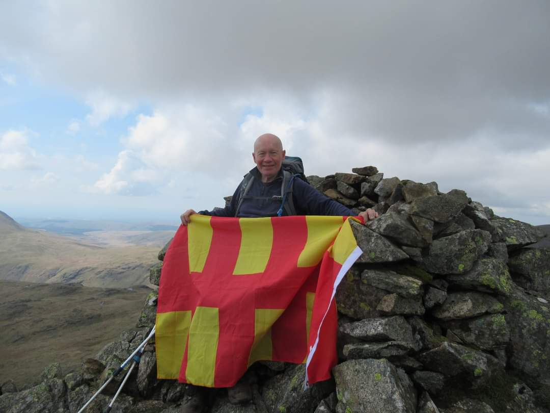
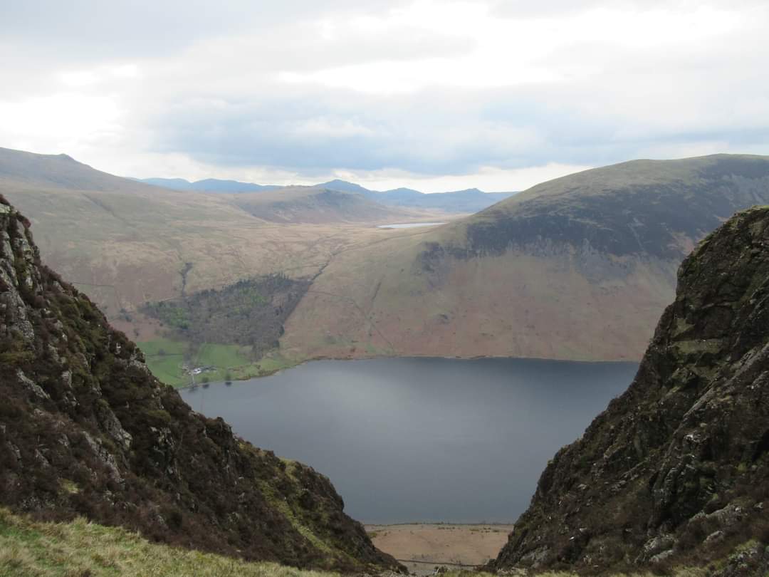
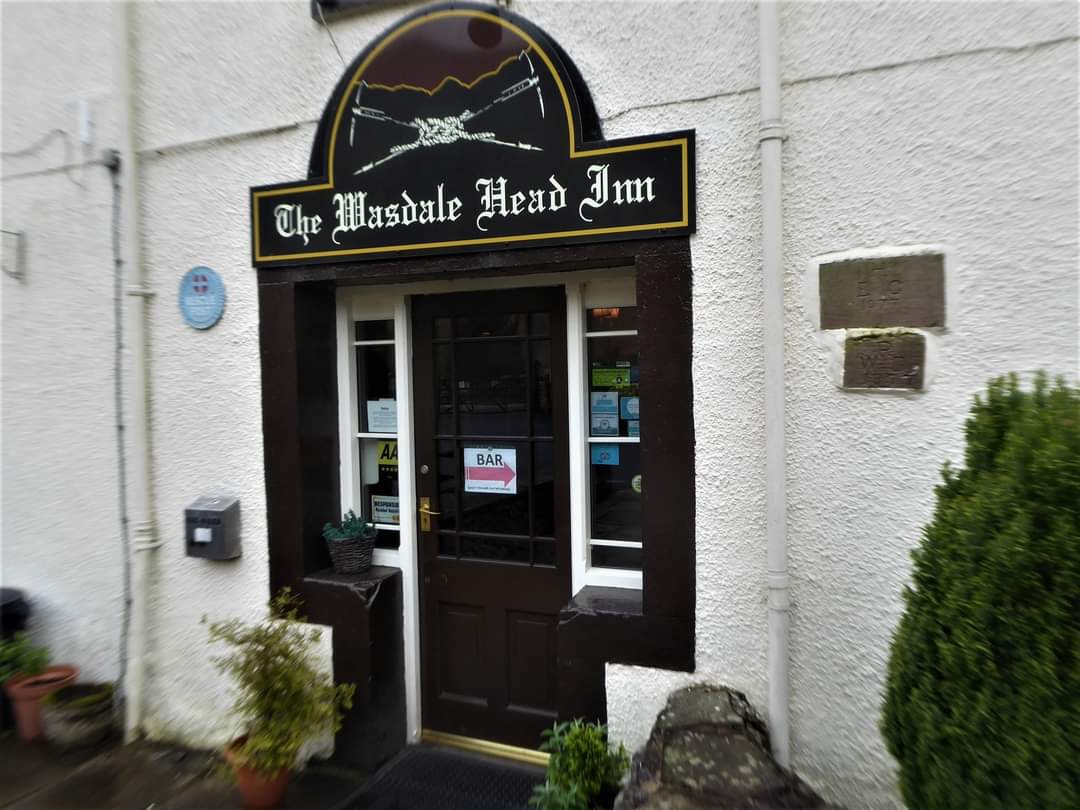
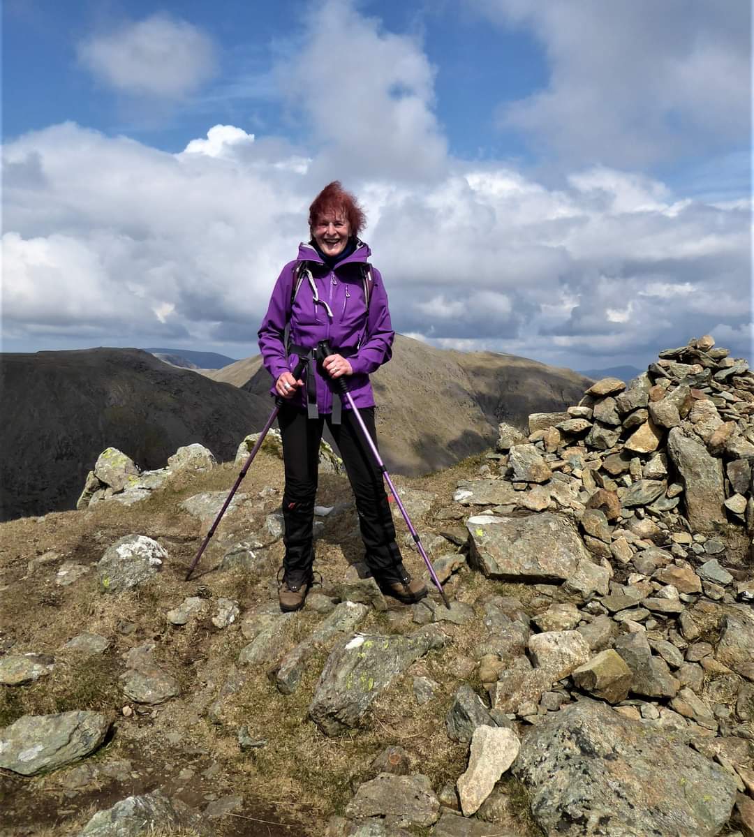
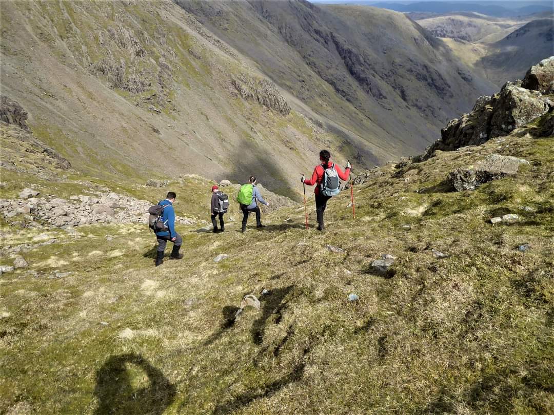
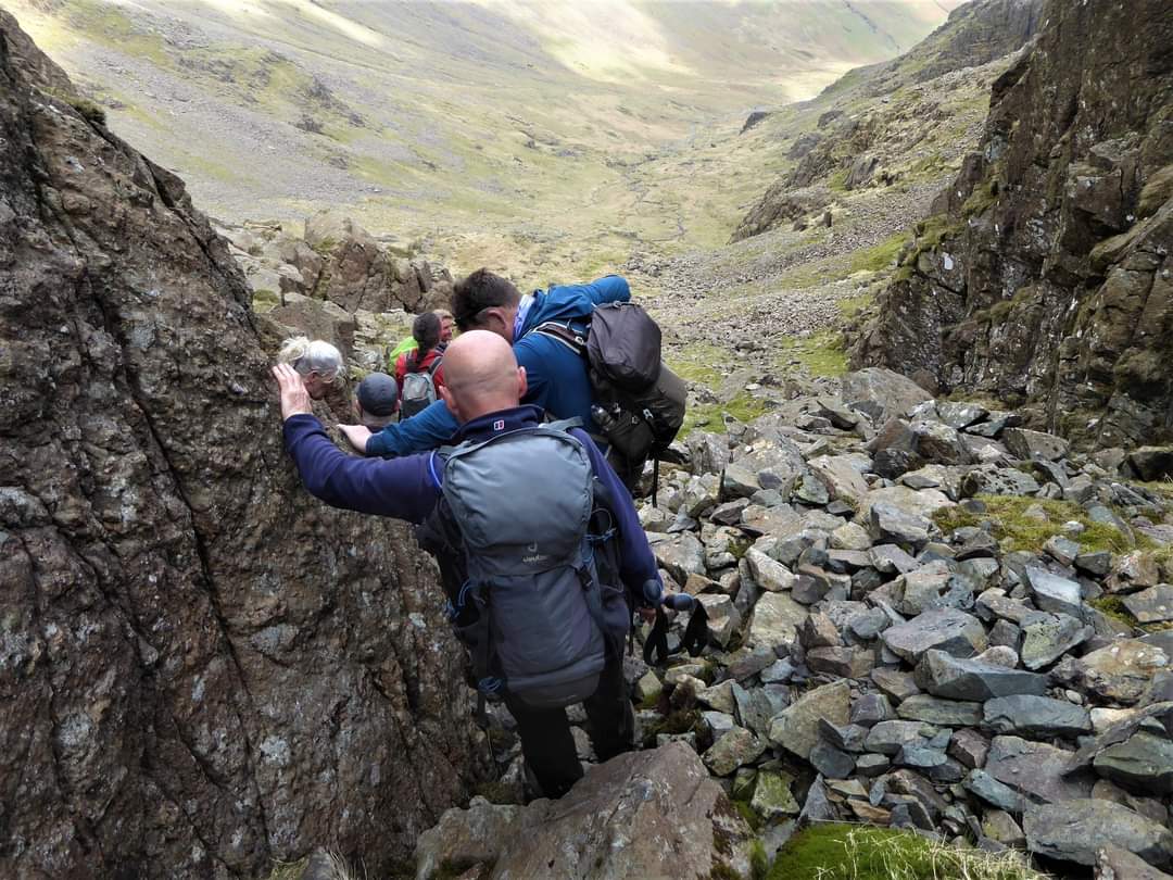
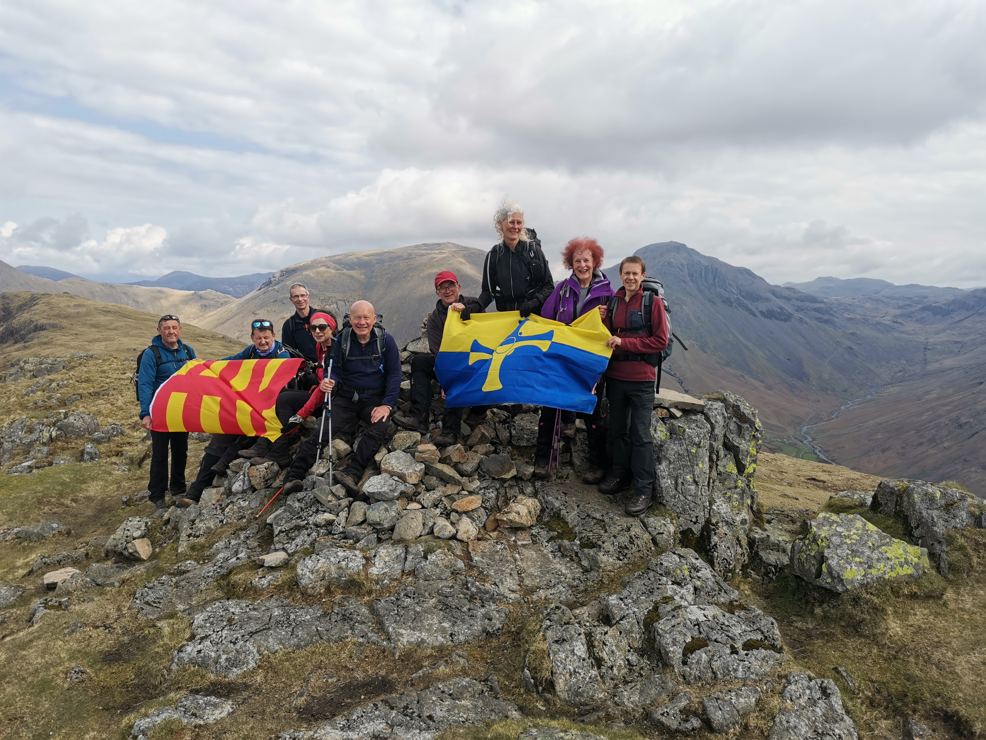
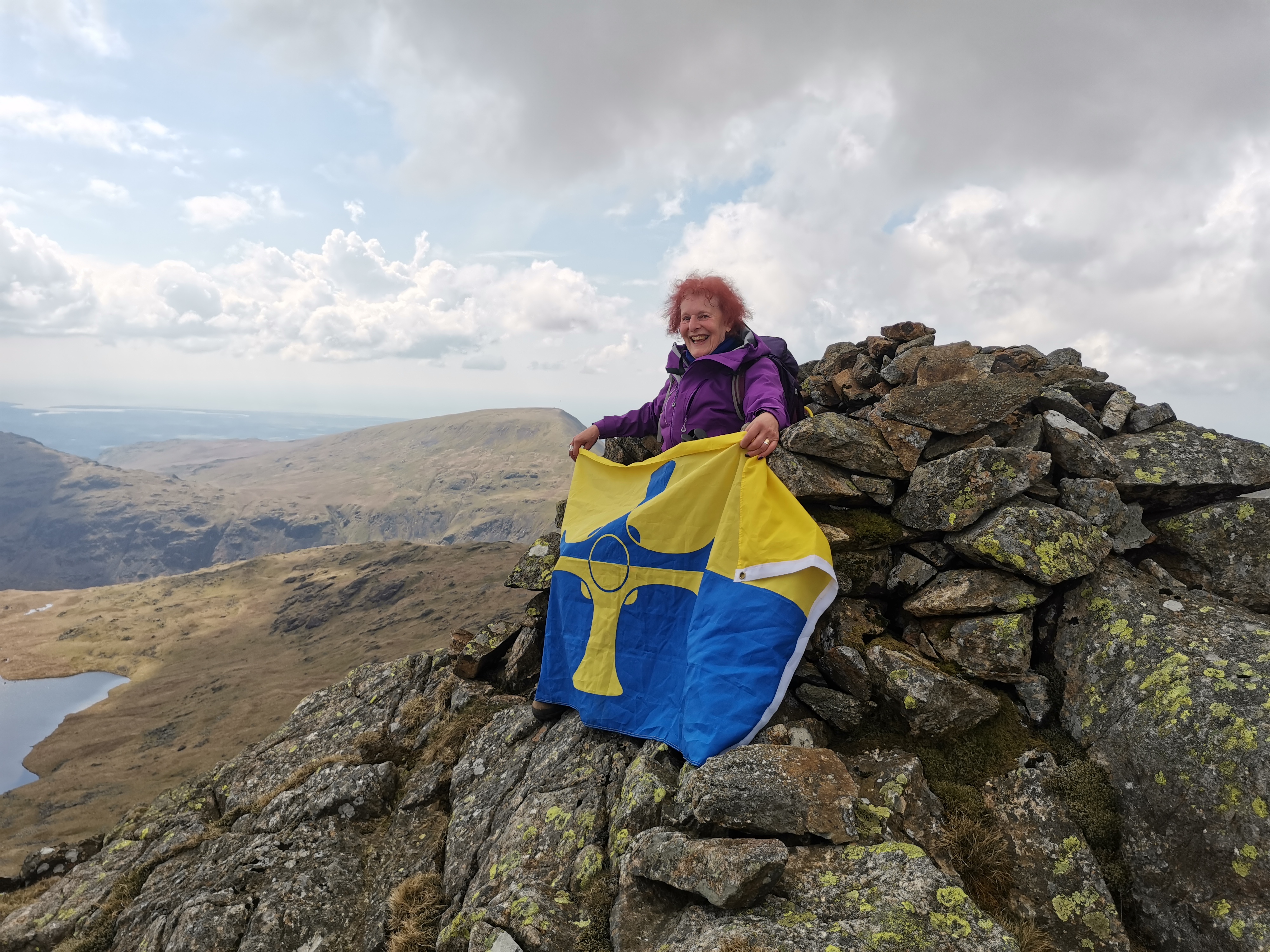
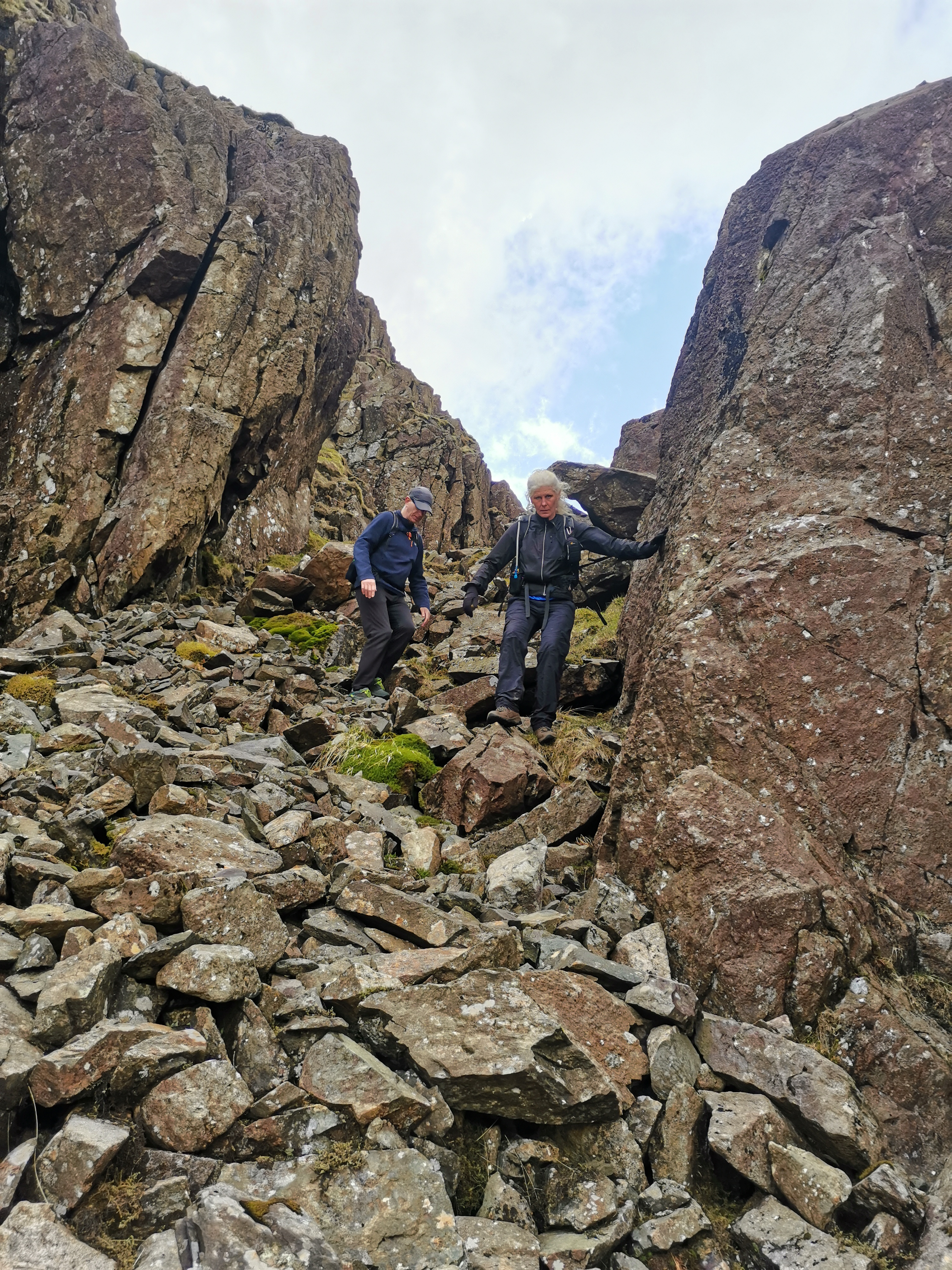
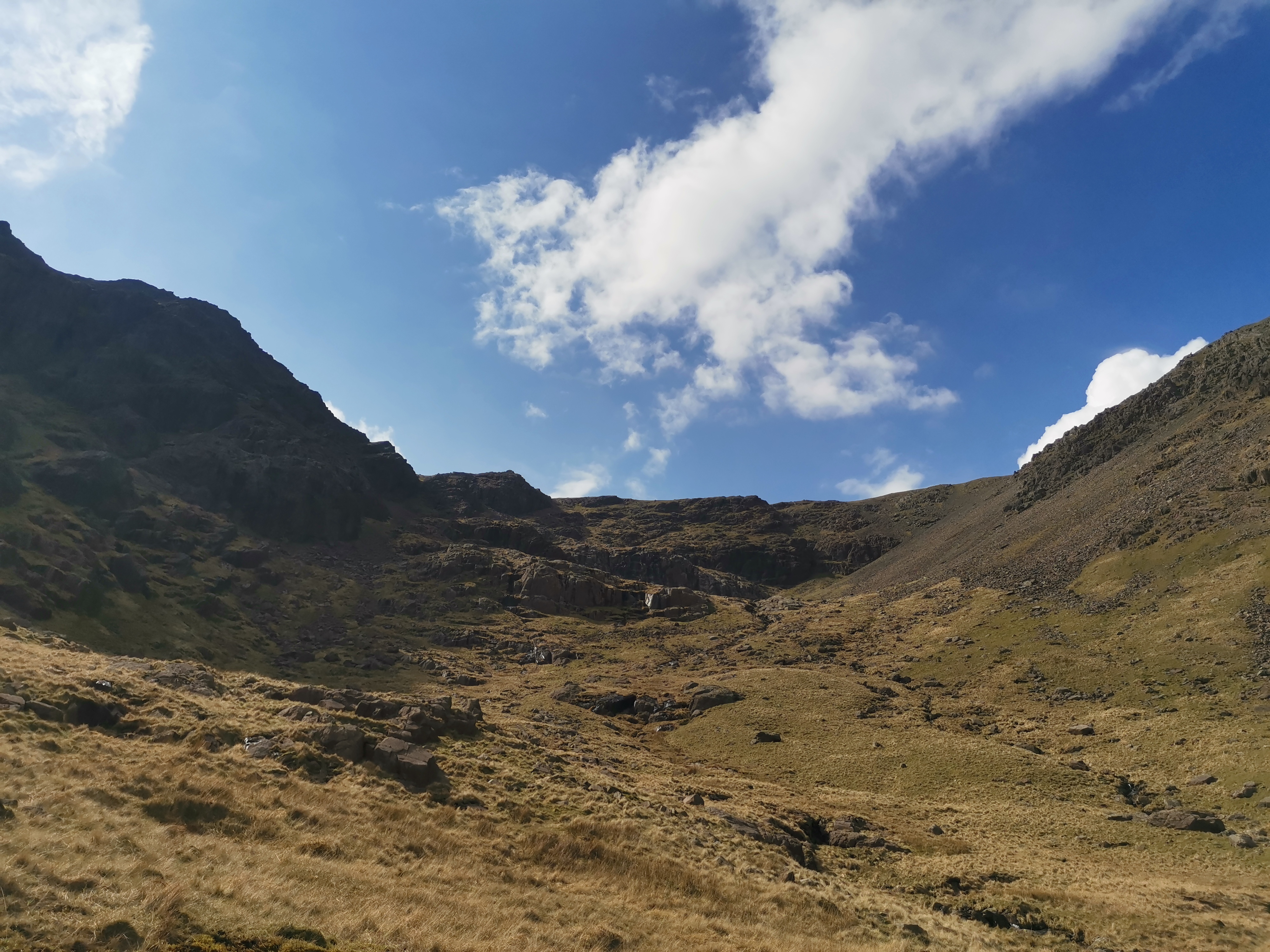
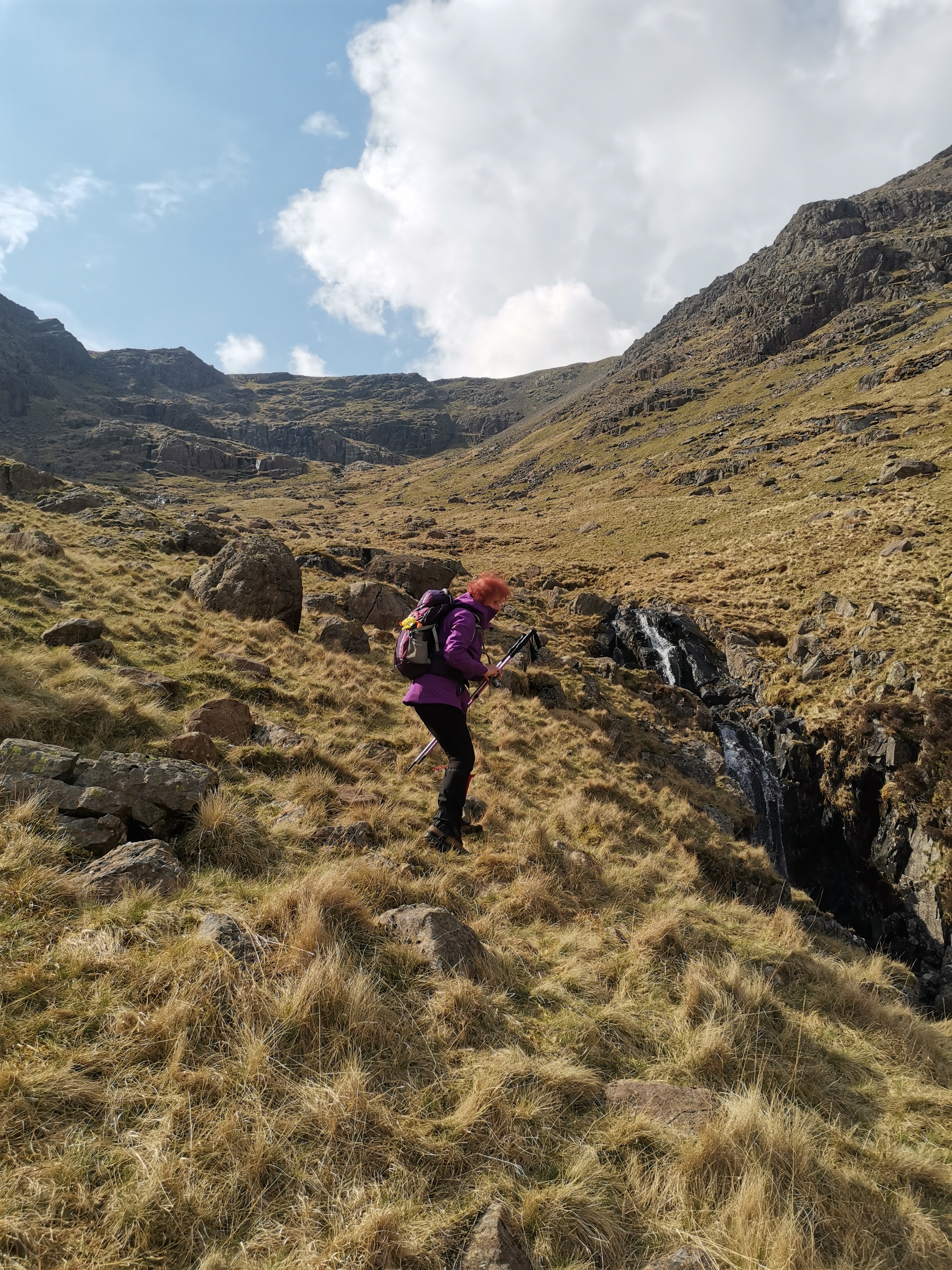
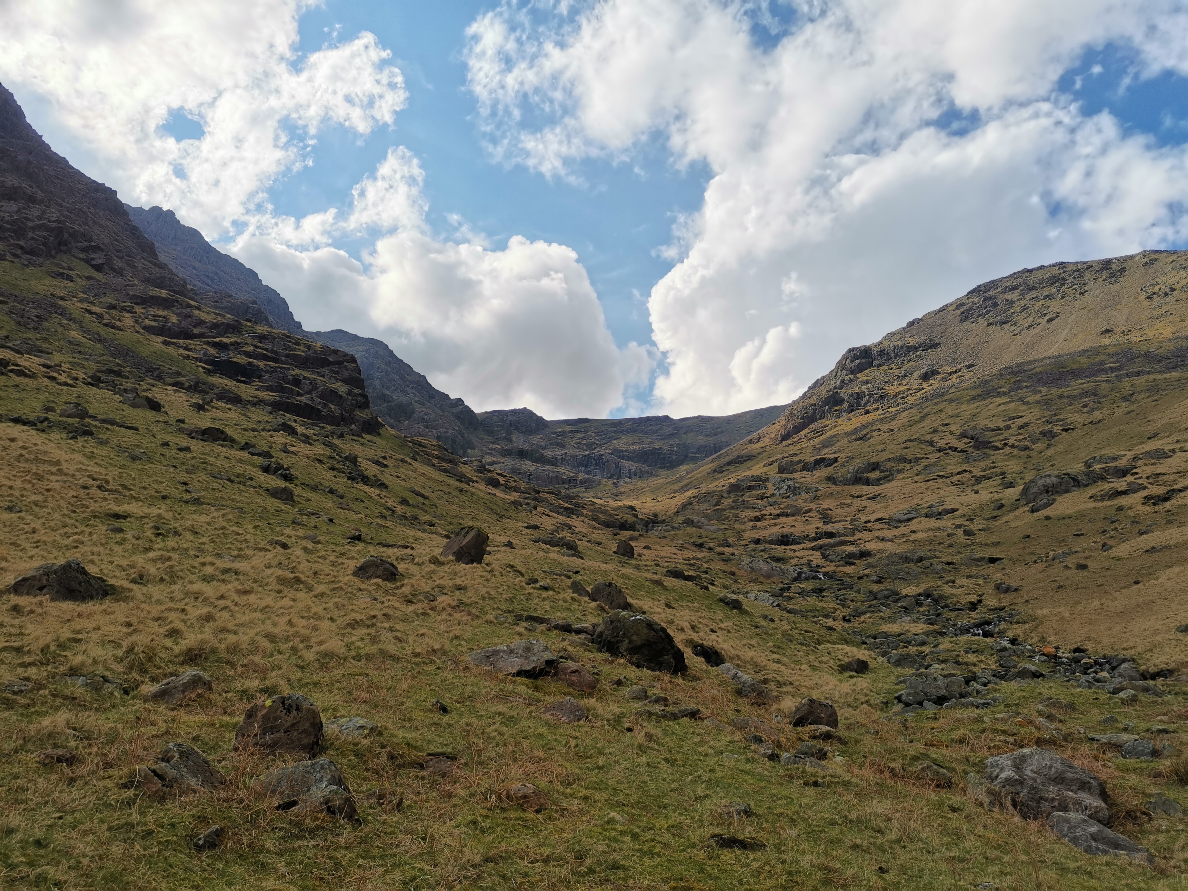
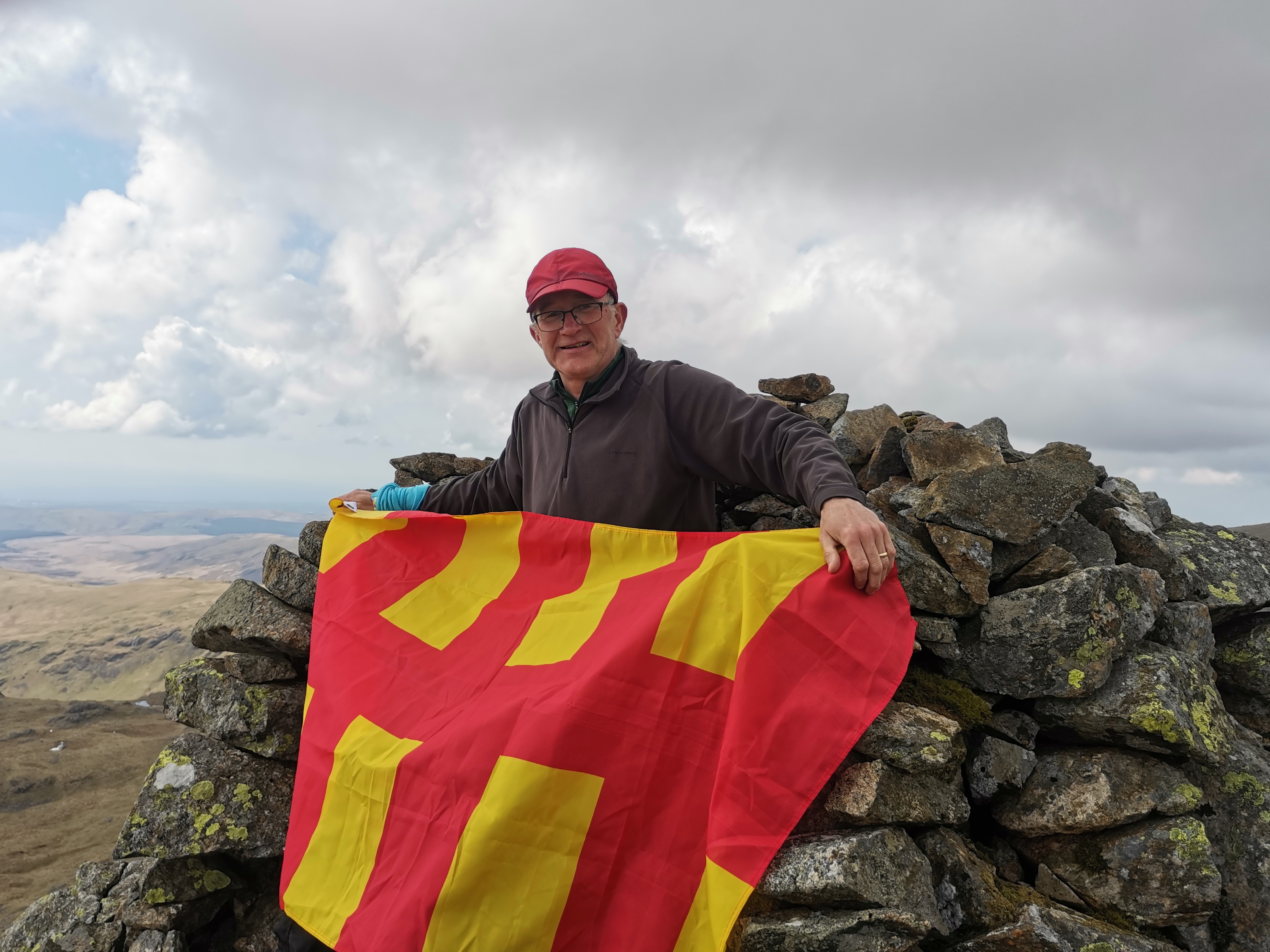
Sunday morning greeted us with sunshine and pockets of blue sky so it was Plan A with the ascent of Yewbarrow and Red Pike. And my camera had dried sufficiently to take the odd photo again! We approached Yewbarrow from Overbeck Bridge, the 'towering pinnacle of Bell Rib' on the southern end rearing up before us as we approached and presenting a seemingly impossible ascent. But as we neared it the path, albeit a scramble, became apparent lying between the formidable Bell Rib and Dropping Crag on the left. The plateau is generally flat with the odd rocky outcrops to negotiate and walking along its length your view is to Over Beck and 'the jewel' of Low Tarn down to the west and down to Mosedale on the right. It is easy to lose all sense of scale being surrounded by mountainous peaks and valleys until people appear as tiny specks along a distant path. Heading towards the north end of the plateau we decided not to descend via the rocky scree of Stirrup Crag but took a path on the north western flank that gradually descended to Dore Head where we sat or lay on the turf enjoying the warm sunshine while we had a break before the ascent of Red Pike. 'The Chair' on Red Pike, at least a century old, is marked on OS maps and Wainwright makes a feature of it, but Paul had not been able to locate it in previous walks and recces so this was the challenge. Jules discovered it on the southern edge, an amazing structure - an outcrop of rock that has been converted into a very comfortable arm chair - and at a vantage point from which the superb panorama south of Red Pike, overlooking Wast Water and beyond spreads before you. The summit cairn some meters away is perilously close to the edge with a precipitous drop into Mosedale. On the opposite side of the valley, clearly visible is the path of Black Sail Pass ascended the day before. And so to the descent which, initially appeared steady enough, dropping down into a depression between Red Pike and Scoat Fell but then there came into view - from sky line direct to Mosedale valley bottom - a very long narrow, boulder strewn gorge/rake flanked by sheer cliffs. The prospect of picking your way down such a precipitous route was both exciting and a wee scary and certainly not a route I would have ventured along on my own. Paul had speculated about taking this descent with a group but, it being an accepted feasible route, albeit an ascent route, by Wainwright, he/we went for it! Full concentration was focussed on every step, selecting grassy sections where possible, avoiding scree and working down and along to cling to the cliffs on the right. Even when the gorge opened out, the descent to the valley bottom was far off with crags and a wall of rock to cross and descend. In all an amazing experience. Finally on the valley bottom we gathered and paused near Y rock for a final break. After so much ascent and descent, my thigh muscles and knee ligaments having been tested to the full, it was good to be able to stride out on the level. We continued steady away along Mosedale passing the Ritson's Force Falls. A cloud had broken so we were under a shower again and didn't pause for long. Thereon to The Wasdale Inn. I was more than tempted to have a pint of the usual but a 3 hour journey lay ahead. A few of the group were staying over for another night but others of us had to return and it was c. 5 when I finally left the cp at Wasdale Head arriving home 8pm. What an amazing weekend - challenging, exhilarating, tiring, brilliant. Thank you so much Paul for your organisation and leading of the walks. You must have spent so much time doing recces. And to everyone for their good company. The Lakes are truly magnificent and each time I visit I become more familiar with the different areas, their geography and how they relate and piece together. I look forward very much to our next trip.(Beryl Massey)Other Files
GPX
A GPX file of the above route may be downloaded by clicking the link below.
Note: GPX files of Group Walks are created by LDWA Group members, and may be downloaded only by other LDWA members. They should not be made available outside the LDWA, and are used at members' own risk.
Login to Download (Members Only)You can use the interactive controls to zoom in and out and to move around the map, or click on a path or a marker for more info. (interactive map help)
You can use the interactive controls to zoom in and out and to move around the map, or click on a path or a marker for more info. (interactive map help)
© OpenStreetMap contributors under Open Database Licence
Rights of way data from selected Local Authorities
Large scale digital mapping is provided by John Thorn
At high zoom levels the route is indicative only.
Gallery
Maps:
You can use the interactive controls to zoom in and out and to move around the map, or click on a marker for more info. (interactive map help)
© OpenStreetMap contributors under Open Database Licence.
Rights of way data from selected Local Authorities.
Large scale digital mapping is provided by John Thorn.


