
Wasdale Weekend, Day 1
Sat 22nd Apr 2023
Walk Details:
Wasdale Head - Lingmell Beck - alongside Piers Gill to join the corridor route to Lingmell Col - Lingmell summit - Scafell Pike - across Mickledore to ascend Lords Rake to Scafell - Slight Side via Long Green - return to Wasdale Head by Burnmoor Tarn
Entry Details:
Walk Report
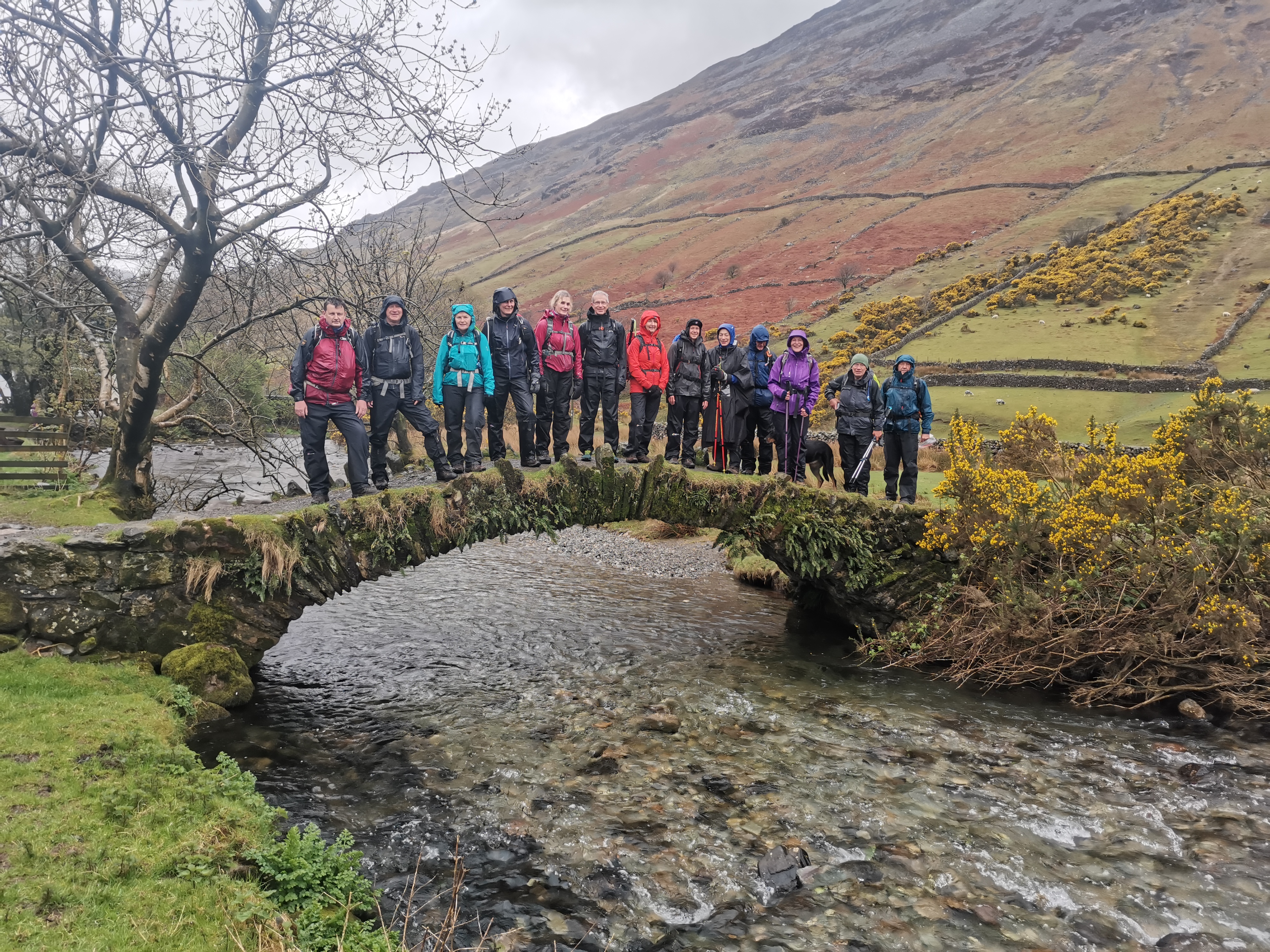
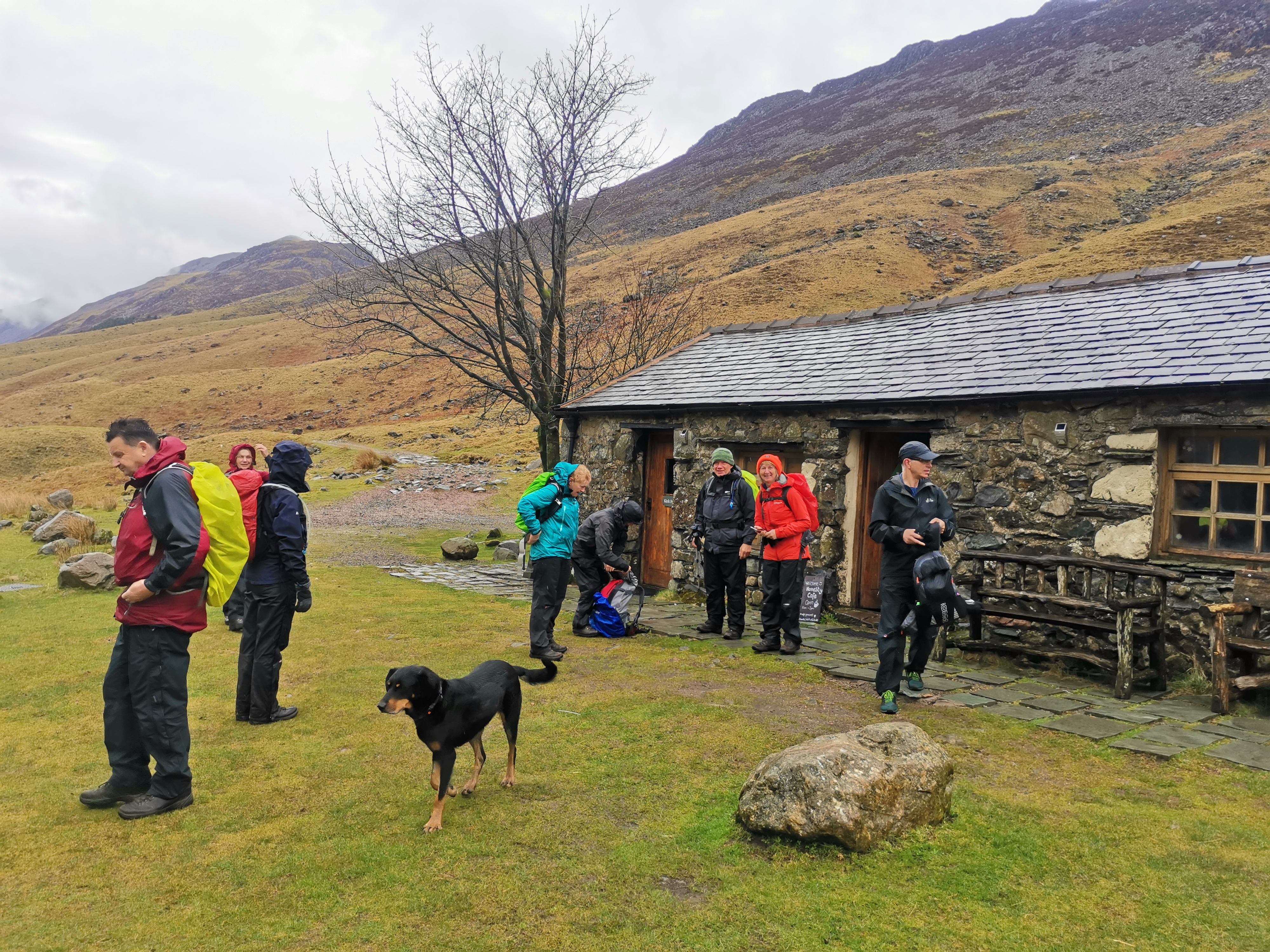
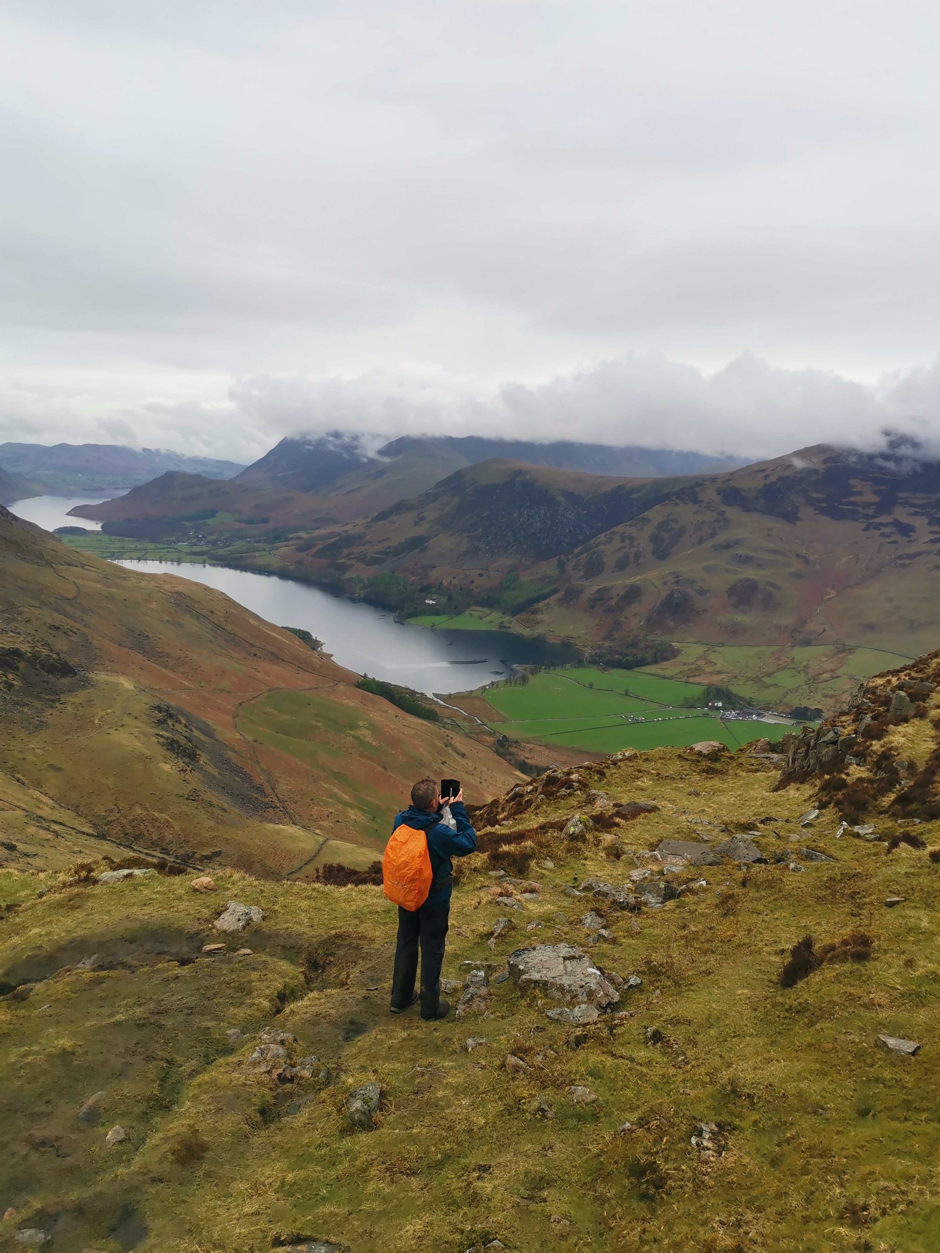
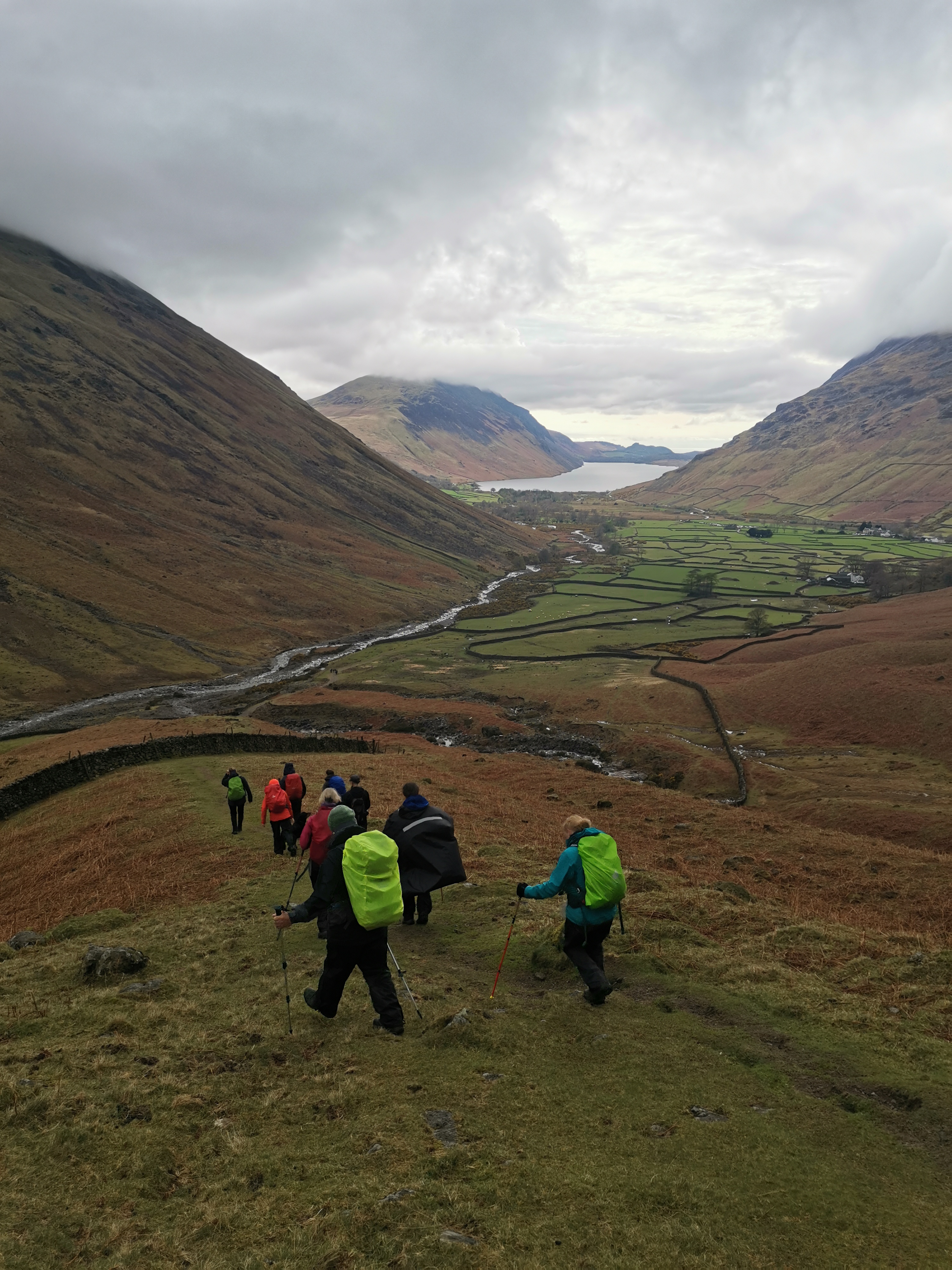
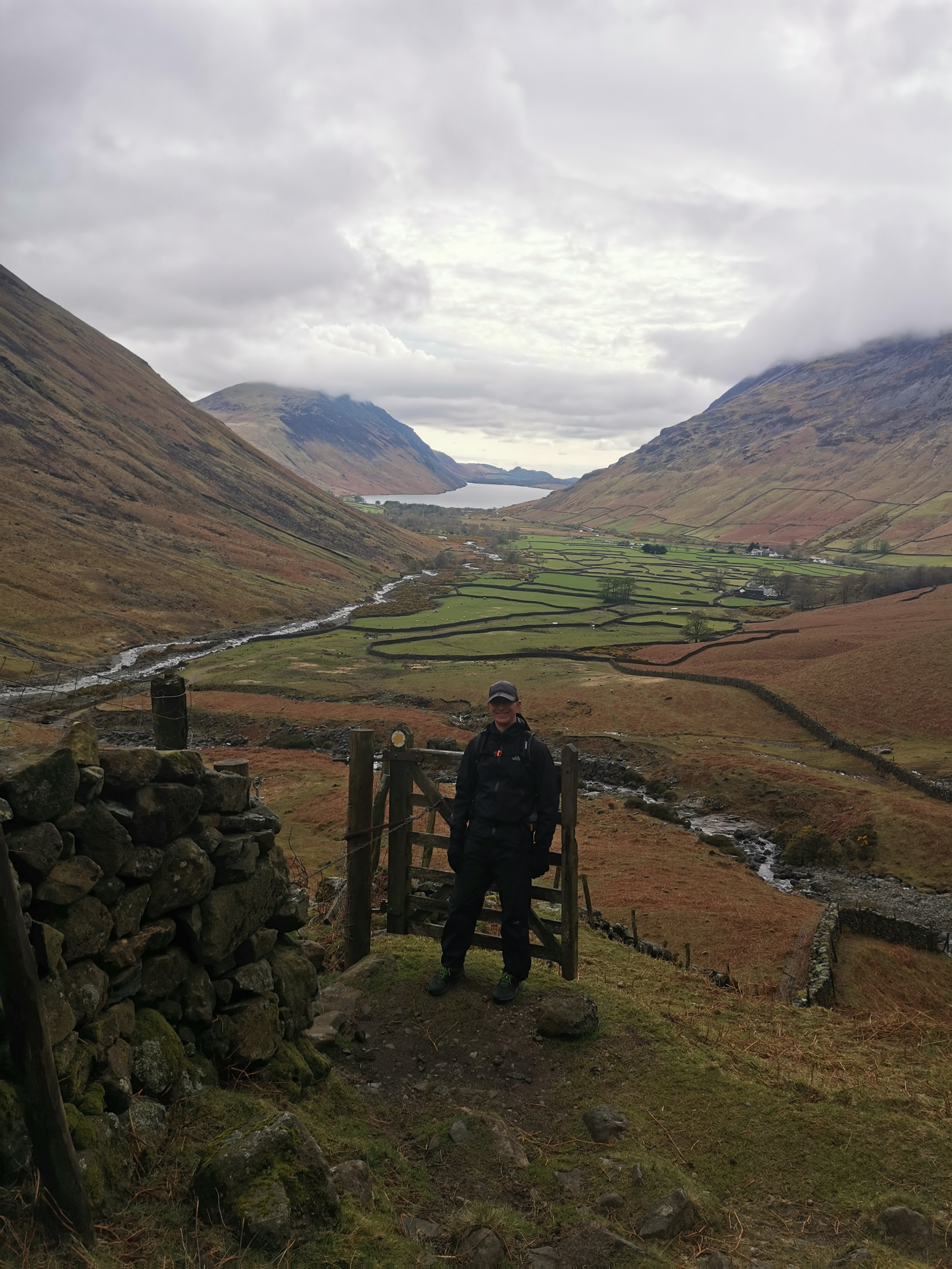
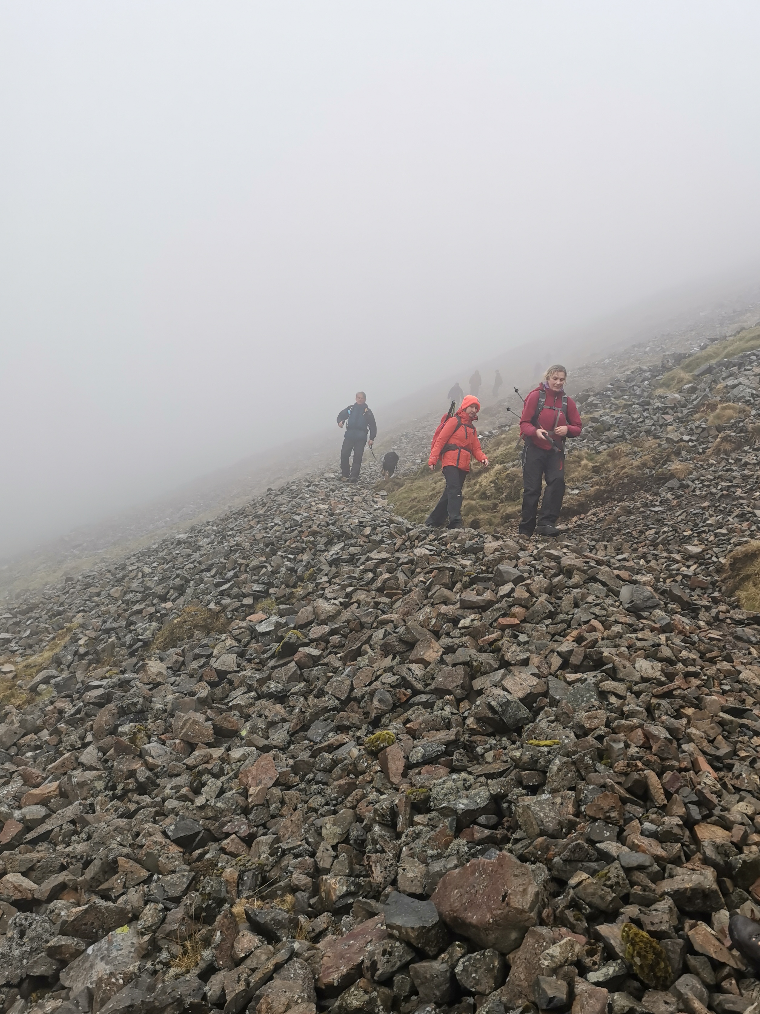
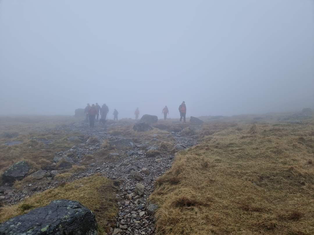
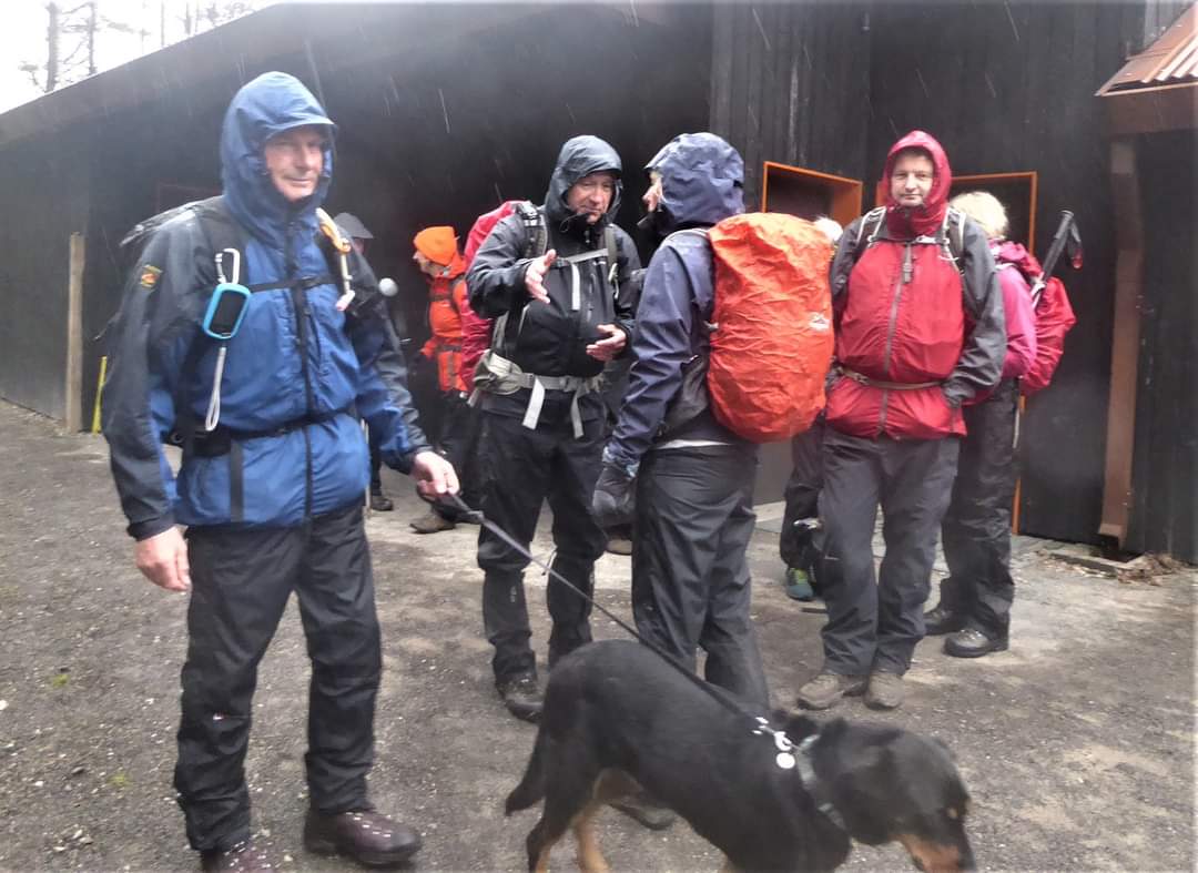
Enjoyed a wonderful two days walking/climbing/scrambling in the far western Lakes this last weekend. I'd recently returned from a holiday with family touring in France enjoying the spectacular scenery of the gorges and mountain passes in the Dordogne, the Tarn and Jonte gorges and then the high Pyrenees as we journeyed on into northern Spain. Now, here I was a couple of days later, amidst the magnificence of our own mountainous region. The plan for Saturday had been to climb Scafell and Scafell Pike along routes which necessitated much scrambling. I'd really looked forward to it but the forecast was not favourable and true to form, after a dry bright week, I woke in Gosforth near Seascale on Saturday morning to rain, and so it continued with low cloud obscuring the peaks. However, Paul Nellist, our able leader, knowledgeable of the area from much walking and recceing of the routes, had plan B up his sleeve with options within options depending on how the day and the weather panned out and we were not disappointed. Suitably clad, we left our meeting point at the popular NT cp at Wasdale Head heading out along Mosedale with the towering peaks of Yewbarrow to our left, the distinctive lumpy mound of Great Gable nestling behind Kirk Fell to our right and Pillar rearing up ahead of us. Behind on the right were Scafell Pike and Sca Fell. We followed the path along the valley until a right turn took us climbing up Black Sail Pass through the gap between Kirk Fell to our right and the rocks of Pillar towering up to our left. Crossing the top we dropped down into Ennerdale and made our way to the Black Sail Hut YHA where we had shelter along with other walkers to enjoy a break. From here we headed along Ennerdale Valley bottom until another right (NE direction) lead us up through Scarth Gap Pass between High Seat and Haystacks. I was astonished that Haystacks could be within our reach from the far side of the Lakes as I'd accessed it in 2015 from Honister Pass travelling through Keswick. Being shown the map the jigsaw of lakes and peaks fell into place with the distances so much reduced and access on foot so much quicker/easier (all relative of course) than by car. The climb to the summit from this point necessitated some negotiating of and scrambling over/round rocks and scree with concentration on careful placing of the feet, but so enjoyable. Sadly I have no photos to remind me of the scramble or the spectacular views from the summit along Buttermere and of the surrounding peaks as the damp had seized the zoom on my camera! According to Wainwright while Haystacks is 'of inferior height', 'the summit area is supreme'. 'One can forget even a raging toothache on Haystacks'! And it was here that Wainwright wanted his ashes scattered. We hadn't the time to explore and headed down along a safe 'recognisable route'. Wainwright's advice if caught in mist on Haystacks 'to kneel down and pray for safe deliverance'! His books are a delight and since returning I've immersed myself in them and maps of the area. Heading down we picked up on a path in a SE direction between Haystacks and Fleetwith. We paused for another break and looking back we had delightful views of Buttermere and Crummock Water on the right with Ennerdale Water on the left and the relatively diminutive and brooding Haystacks backed by Red Pike in between. I coaxed my camera into another shot. We continued up climbing a little over mid way to the summit of Great Gable following the 'Moses Trod' path. The rain had eased over the day and the top of Great Gable had cleared so there was a ragged plan to climb this summit. However, within almost moments of this thought cloud had descended again and for some time we followed the scree path engulfed in mist until, gradually descending, we had some wonderful hazy glimpses of Wast Water, mysteriously appearing and disappearing. The descent between Great Gable and Kirk Fell to Wasdale Head was long, but en-route and just short of the cp was the welcome Wasdale Head Inn - very busy, but we were able to sit out to enjoy the usual refreshment and banter before returning to our respective hostelries to fuel up and rest ahead of our second day. ( Beryl Massey)Other Files
GPX
A GPX file of the above route may be downloaded by clicking the link below.
Note: GPX files of Group Walks are created by LDWA Group members, and may be downloaded only by other LDWA members. They should not be made available outside the LDWA, and are used at members' own risk.
Login to Download (Members Only)You can use the interactive controls to zoom in and out and to move around the map, or click on a path or a marker for more info. (interactive map help)
You can use the interactive controls to zoom in and out and to move around the map, or click on a path or a marker for more info. (interactive map help)
© OpenStreetMap contributors under Open Database Licence
Rights of way data from selected Local Authorities
Large scale digital mapping is provided by John Thorn
At high zoom levels the route is indicative only.
Gallery
Maps:
You can use the interactive controls to zoom in and out and to move around the map, or click on a marker for more info. (interactive map help)
© OpenStreetMap contributors under Open Database Licence.
Rights of way data from selected Local Authorities.
Large scale digital mapping is provided by John Thorn.


