
Medieval Wander
Sat 11th Feb 2023
Walk Details:
Blanchland, Buckshott Fell, Edmundbyers, Bolt's Law, Haining's plantation, Pennine Journey back to Blanchland
Entry Details:
Walk Report
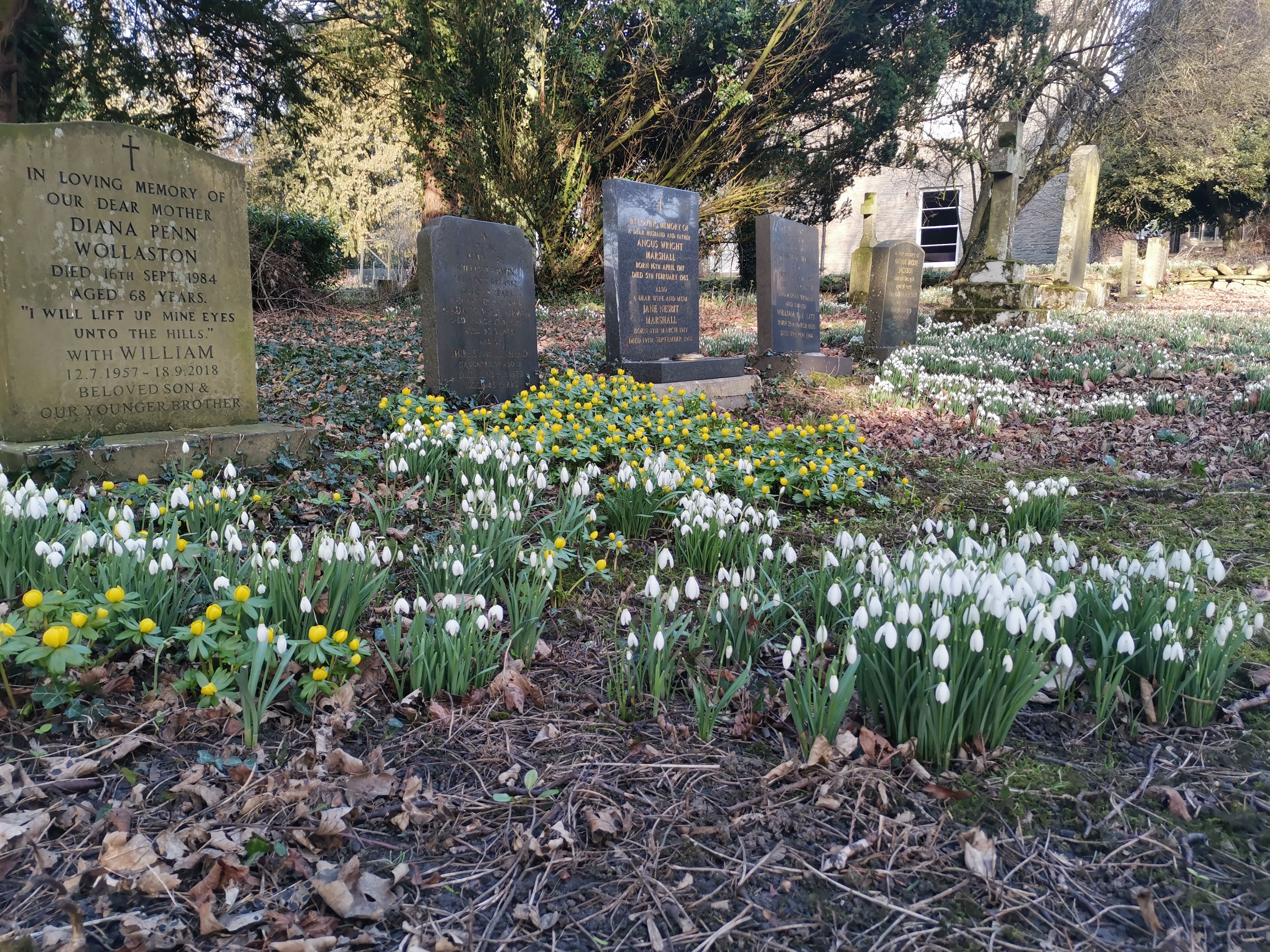
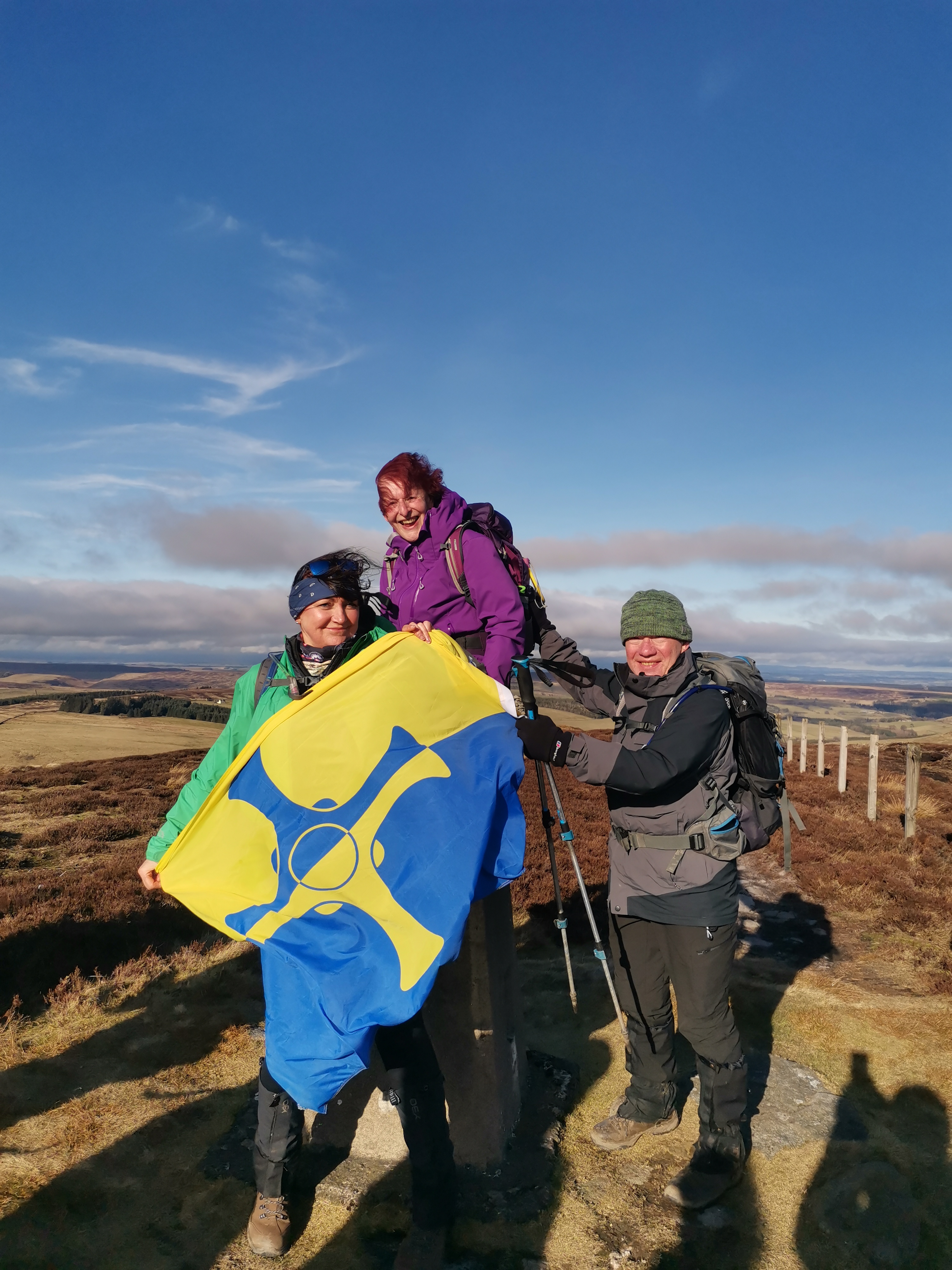
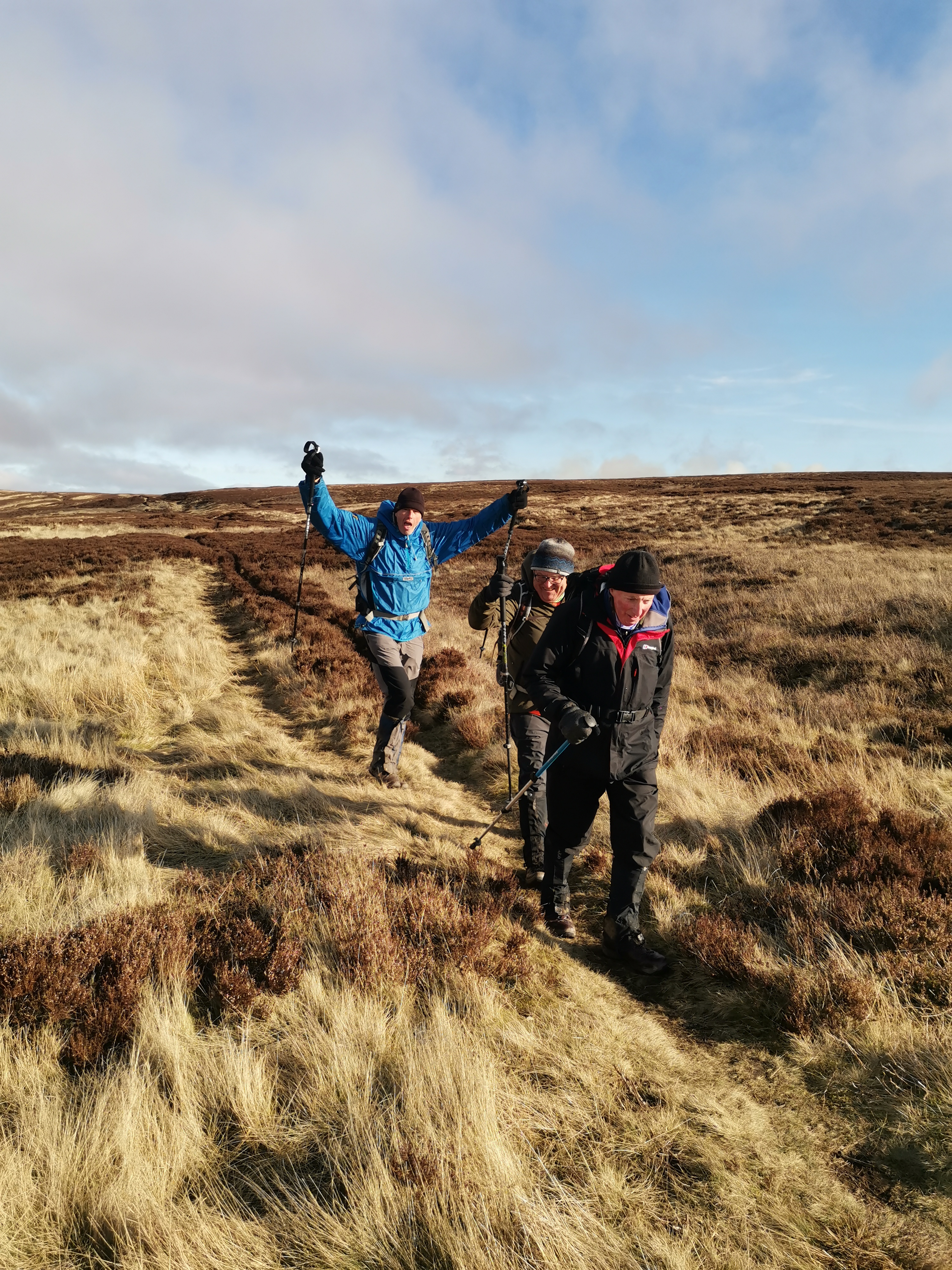
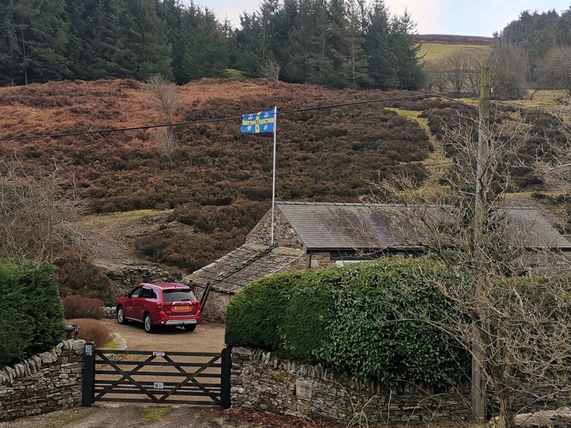
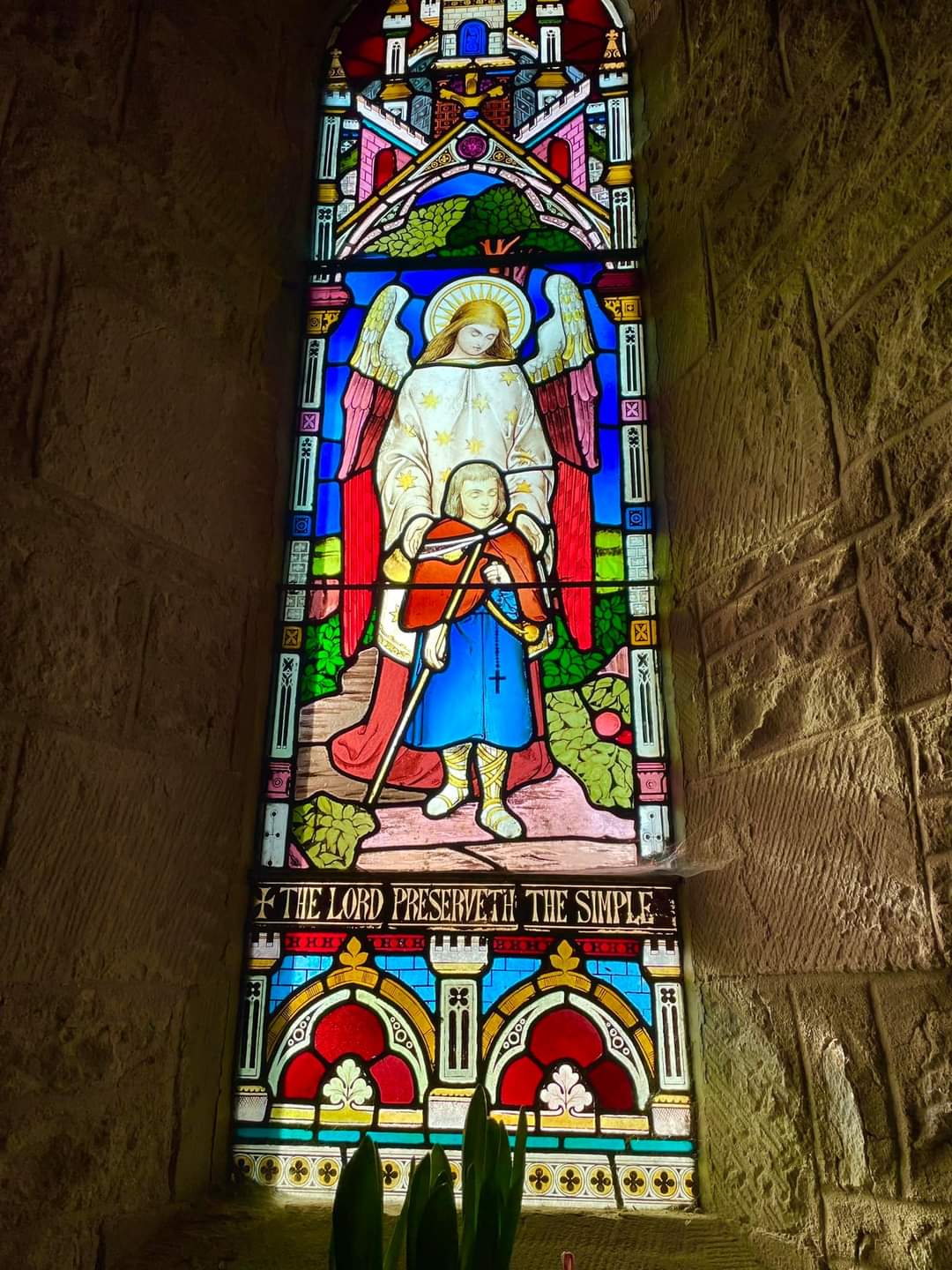
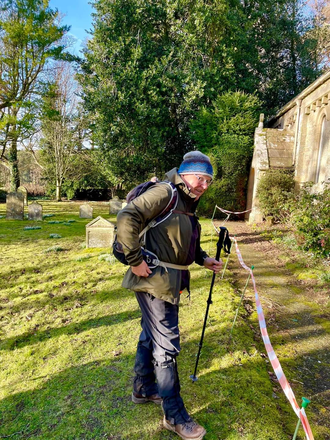
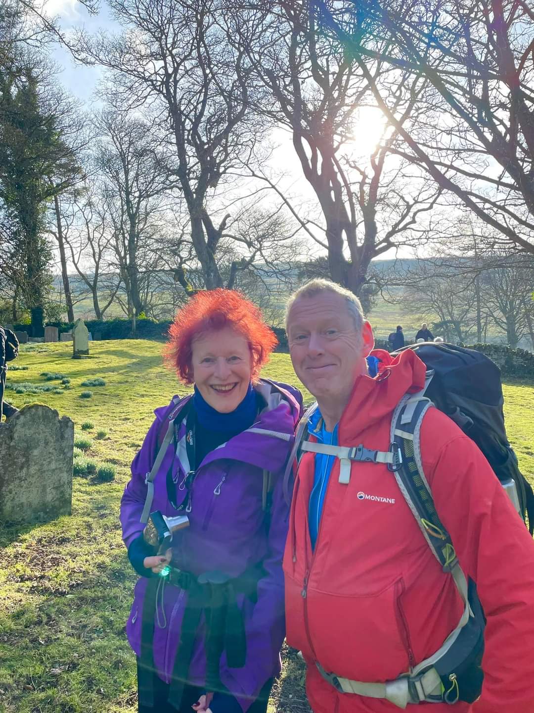
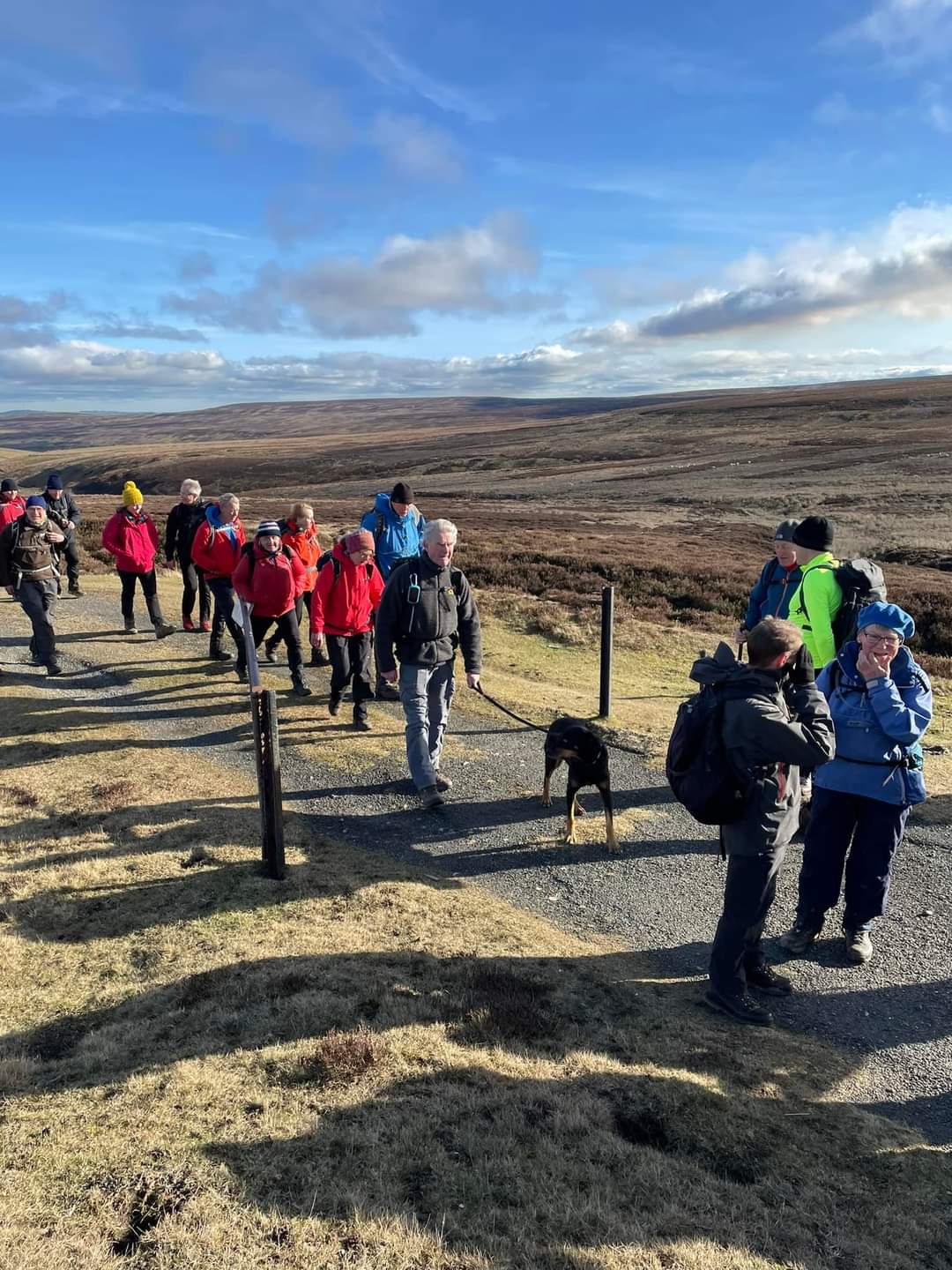
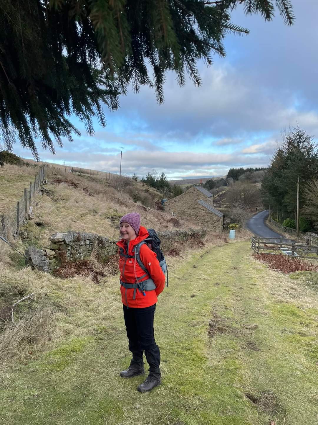
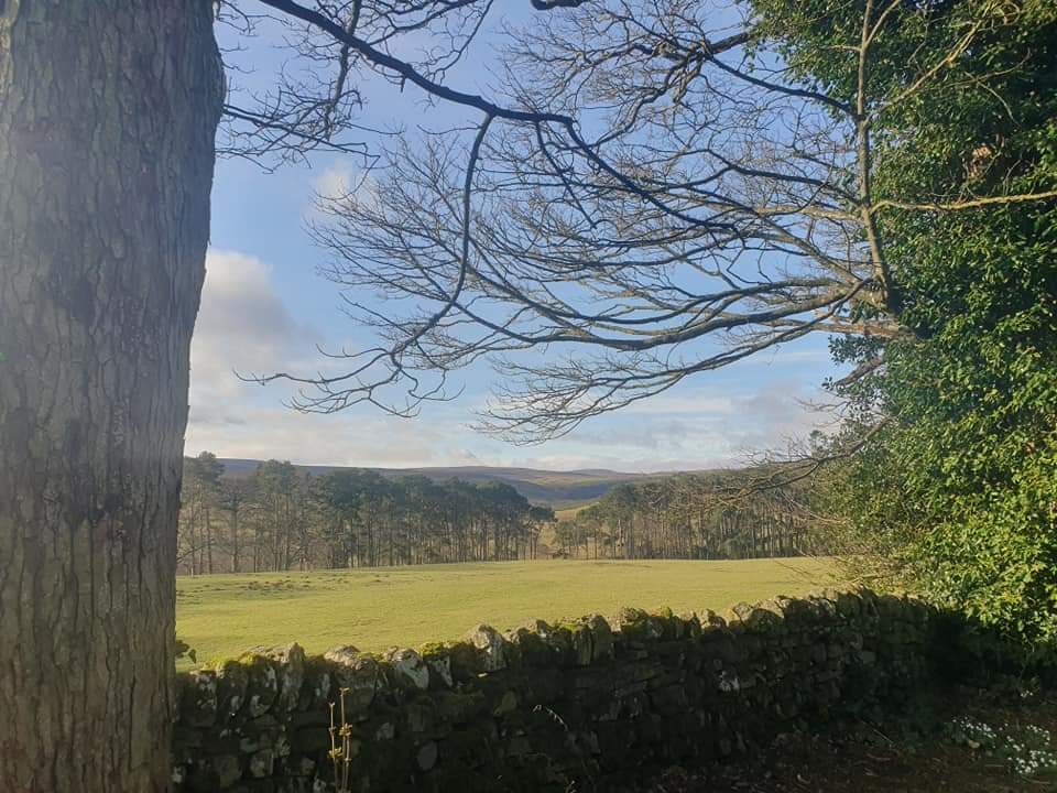
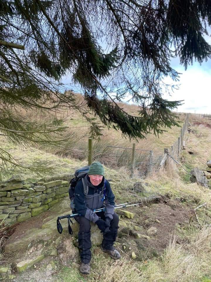
The LDWA Northumbria group walk this last Saturday was from the ever popular Blanchland in the North Pennines, once a centre of the lead mining industry with relics of this rich history still very evident. It is an area that was frequently visited by and inspired the writings of W H Auden, following his very first visit when on holiday with his parents in the summer of 1922 as a 15 year old school boy. We, me and 35 fellow walkers plus 2 four footed friends, left the cp at 8.30, heading in a southerly direction over the bridge that crosses the Derwent and on to Buckshot Fell. We turned eastward towards Edmondbyers, following tracks over fell and moorland with splendid views to the SW of the small dales of Burnhope and Harehope. We had our first break, 6-7 mile,s in at Edmundbyers Church - some sitting in the church yard, and others inside the church admiring the stained glass, whether it be the one inscribed 'The Lord Preserveth the Simple' or that of 'The Eye of God' on the west wall, to ward of the forces of evil. Edmundbyers was infamous for its witches and witchcraft in the 16th and 17th centuries and at an unknown location in the churchyard is the grave of Elizabeth Lee who died in 1792 and is reputed to have been the last in a long line of witches in Durham, though she was never proven guilty. The 'Eye of God' was installed by the vicar at the time of her death to reassure the rumoured terrified locals that she couldn't walk inside the church or its grounds ever again! Being nourished we walked along the road from the church and took a track westward above Burnhope Burn heading towards the summit of Bolt's Law. The sky had patches of blue and the sun put in a greater than expected appearance though the head wind on the tops was significant. The route took us past a few derelict farm houses each with a history and stories, one of which Jim regaled us with when in the lee of the barn at Pedam's Oak farm. This house, dating back to the 18th and early 19th century, has a magnificent porch. It was listed Grade 11 in June 1987 when it was already empty. I wonder what on earth life must have been like living in these isolated locations though, of course, it would have been so different then, the area alive and humming with the business of lead mining and the air full of smoke. We crossed the minor road which links Blanchland with Weardale and continued westward looking down to Sikehead Dam on our right, Burnhope Dam on the left, and with two significant chimneys coming to view in the distance - relics from the lead mining era discharging the noxious fumes carried up stone lined flues from lead ore smelting mills. We paused for our lunch break in a sheltered stony dip just below the summit of Bolt's Law with magnificent views westward over the fells and dales between what must have been Allenheads and Allendale Town and beyond. The trig point at Bolt's Law (1,706 ft) presented the perfect opportunity for a group photo with the Durham flag unfurled around Alex, who was leading this, her first walk. For some reason I had a notion to climb and sit astride the top - too windy to stand up! The route was now gently downhill. On reaching the minor road, which to our left lead to Rookhope, we turned right with Cuthbert's Hill on our left and Burnhead Dam on the right. We followed the road for c.1mile before turning right again, crossing pasture and clambering some tricky stiles (an angular boulder either side of a wire fence - at least it wasn't barbed!) towards Ramshaw. Following Bolt's Burn through woodland - Deborah Plantation - we made our way back to the bridge at Blanchland. What a delightful walk, just on 17 miles, enjoyed by everyone and close enough to home for me to repeat. Many thanks, Alex, and very well done. We look forward to your next walk. Many thanks too for everyone's company. We gathered at The Lord Crewe of course, managing to find space, given that the cp was full when we returned at c.3.35 with a coach in the centre. Blanchland is clearly popular whatever the season. ( Beryl Massey)Other Files
Download Walk ReportGPX
A GPX file of the above route may be downloaded by clicking the link below.
Note: GPX files of Group Walks are created by LDWA Group members, and may be downloaded only by other LDWA members. They should not be made available outside the LDWA, and are used at members' own risk.
Login to Download (Members Only)You can use the interactive controls to zoom in and out and to move around the map, or click on a path or a marker for more info. (interactive map help)
You can use the interactive controls to zoom in and out and to move around the map, or click on a path or a marker for more info. (interactive map help)
© OpenStreetMap contributors under Open Database Licence
Rights of way data from selected Local Authorities
Large scale digital mapping is provided by John Thorn
At high zoom levels the route is indicative only.
Gallery
Maps:
You can use the interactive controls to zoom in and out and to move around the map, or click on a marker for more info. (interactive map help)
© OpenStreetMap contributors under Open Database Licence.
Rights of way data from selected Local Authorities.
Large scale digital mapping is provided by John Thorn.


