
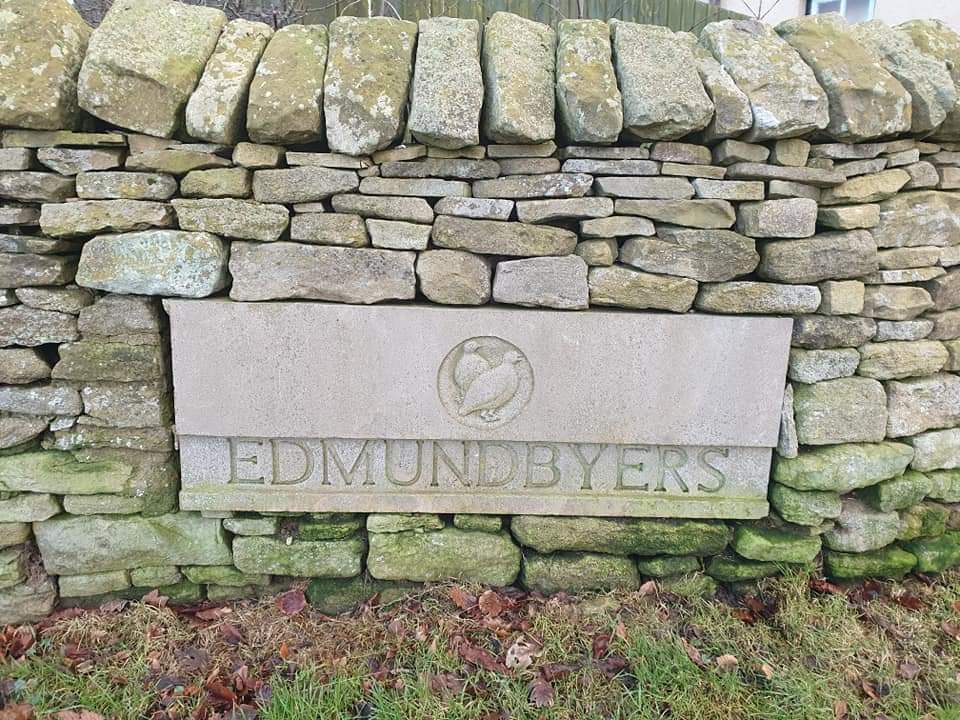
AGM Walk - Edmundbyers
Sat 14th Jan 2023
Walk Details:
Event Type
Group Walk
Region / Area
Northern England / North Pennines
Local Group
Northumbria
Distance
13.5ml.
Start Time
09:00am
Route
Edmundbyers, grid reference NZ016501, postcode DH89NL. Clockwise circular walk via Pow Hill, Derwent Reservoir Dam. Birkenside Farm, Shotleyfield plantation, North Snods, Derwent Manor Hotel, Wallish Walls, Crooked Oak, Derwent Gorge and Muggleswick Woods, returning to Edmundbyers via Muggleswick Park. Leader - Jim Arden
General Notes
The walk will be followed by the AGM at the Baa Youth Hostel, Edmundbyers - suggested time of commencement 4pm. Please note that by attending this walk you agree to the Northumbria LDWA group rules with regards to: a) Dogs are welcome on leads, but owners must have up to date public liability insurance b) Photographs of people must be with the full consent of those people for the taking and distribution of the photographs
Web Site
Start
Finish
Entry Details:
Cost
Walk Report
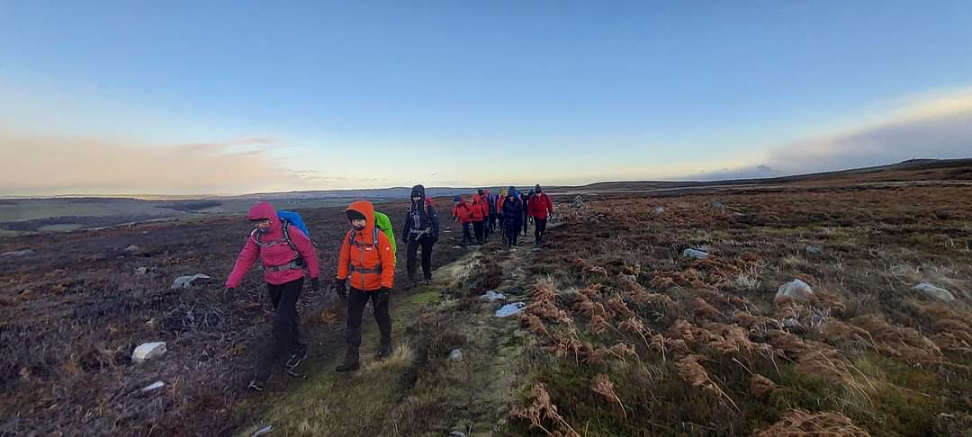
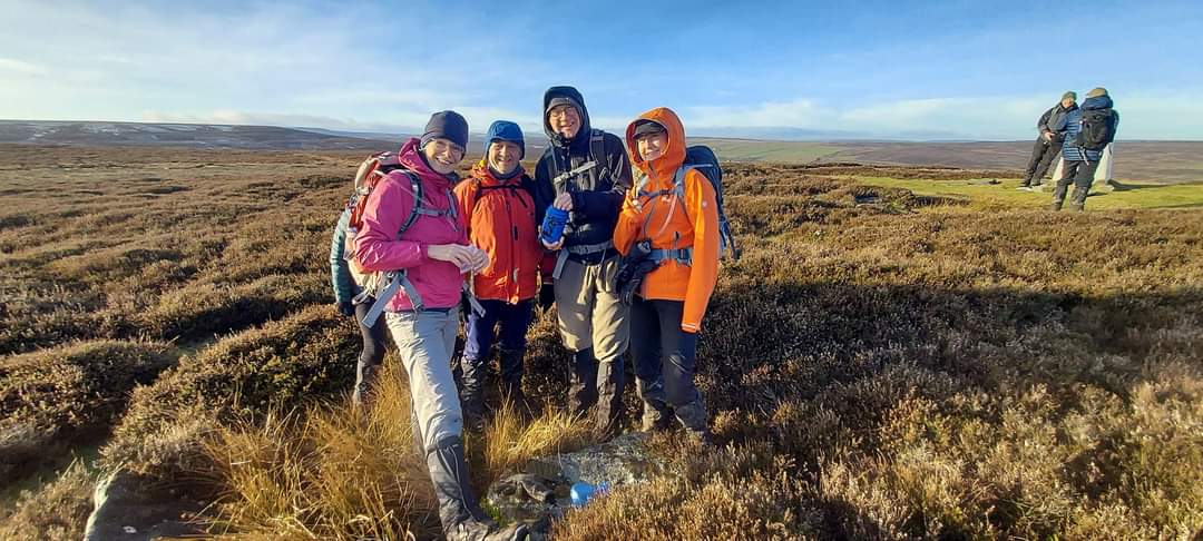
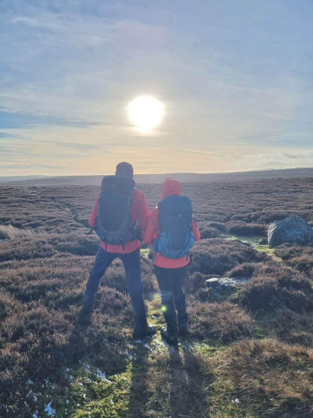
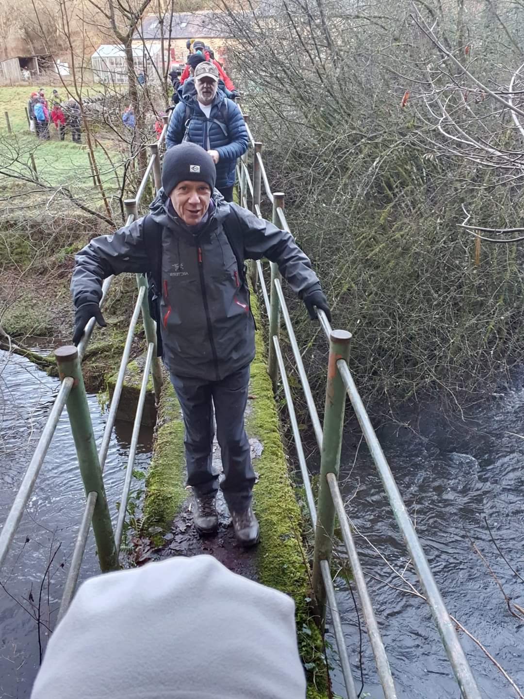
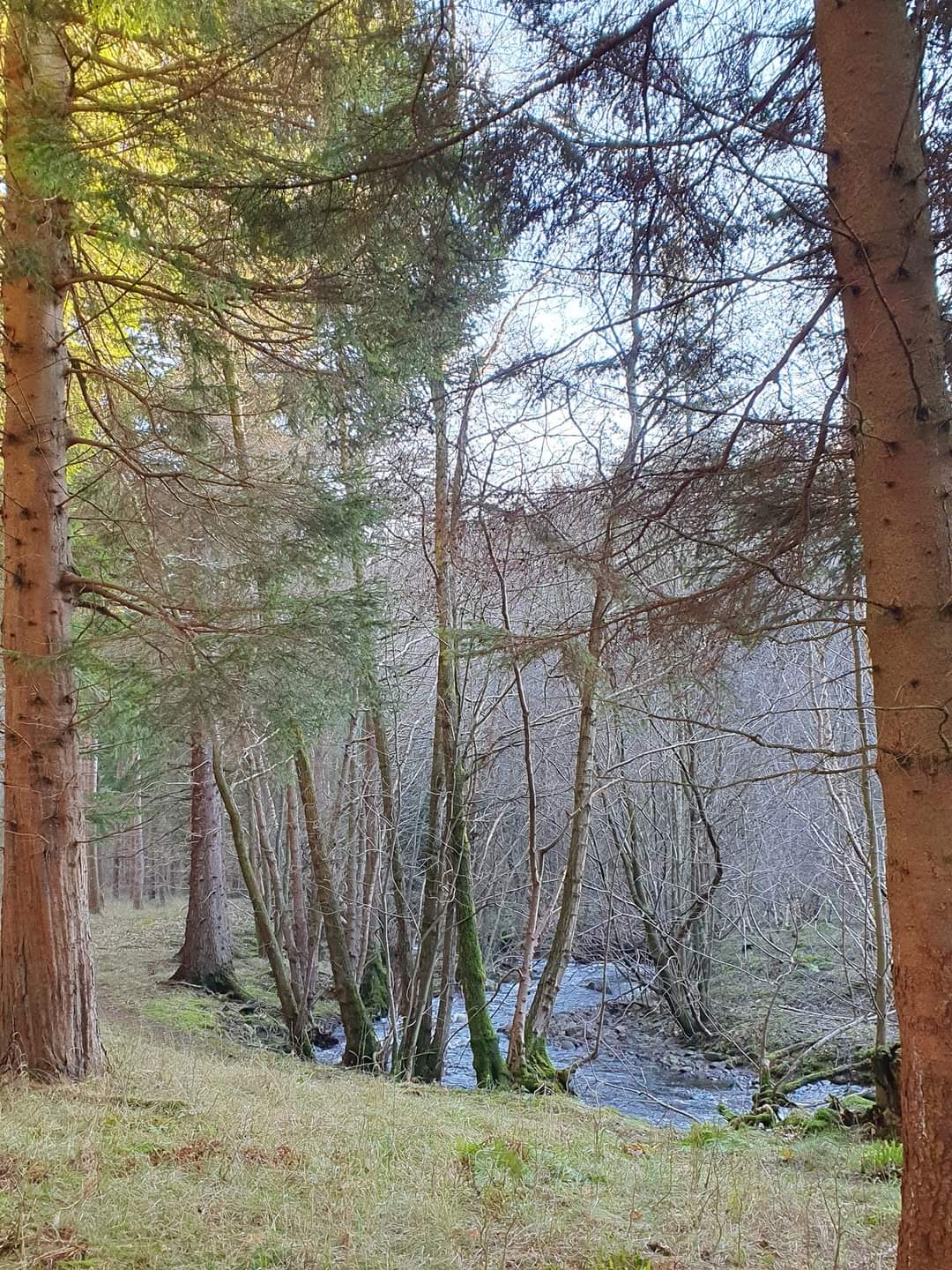
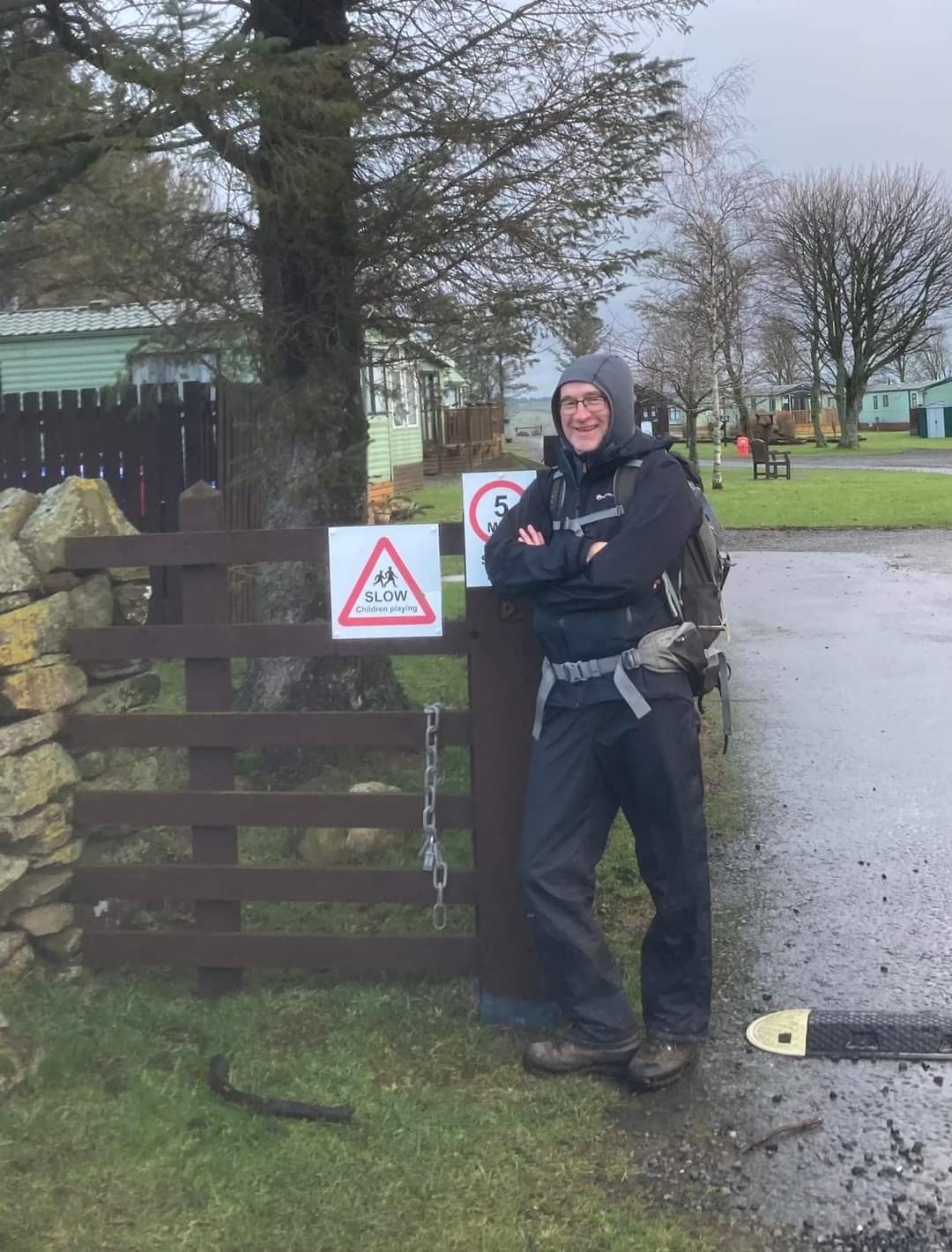
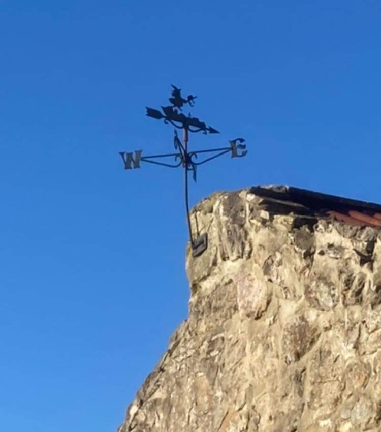
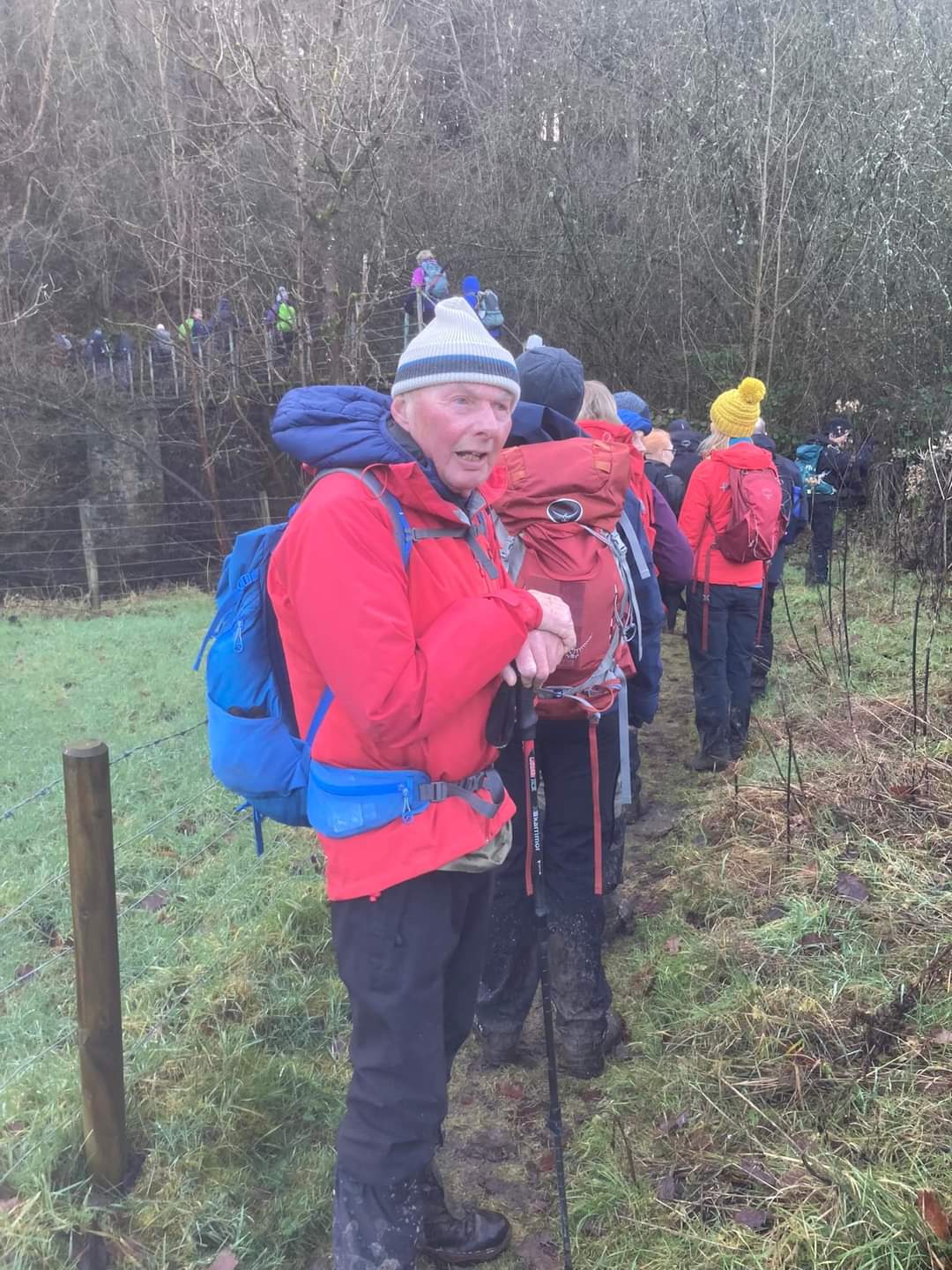
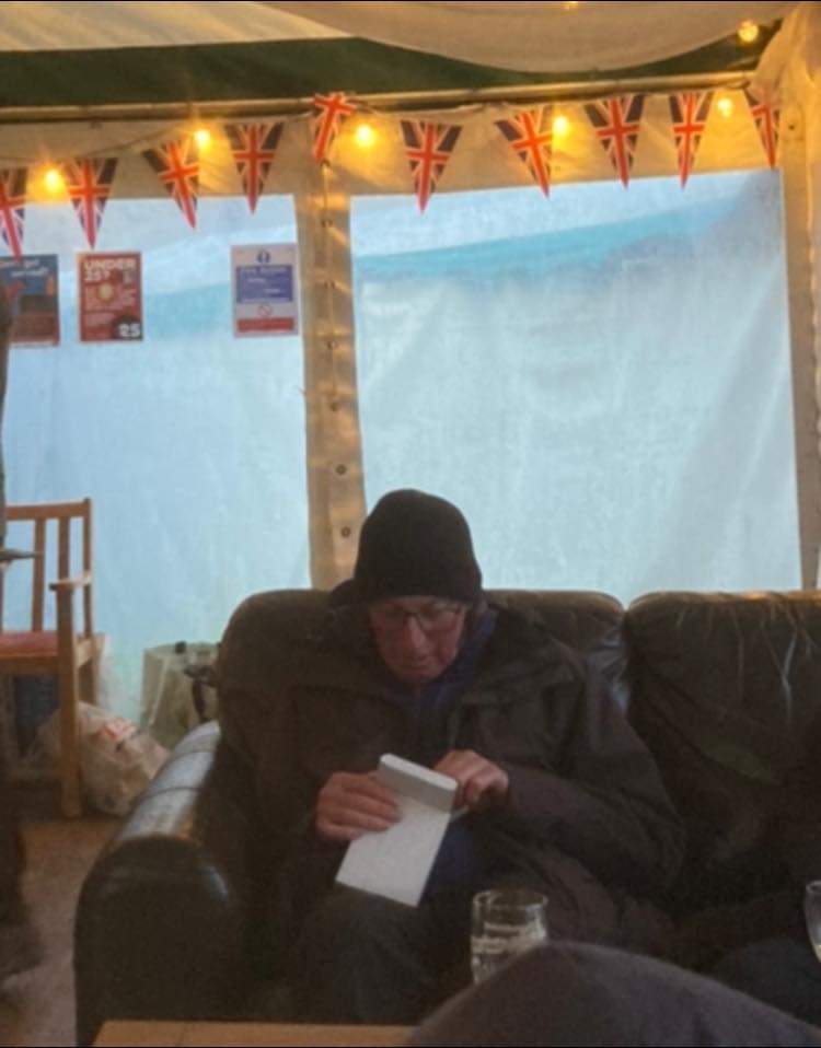
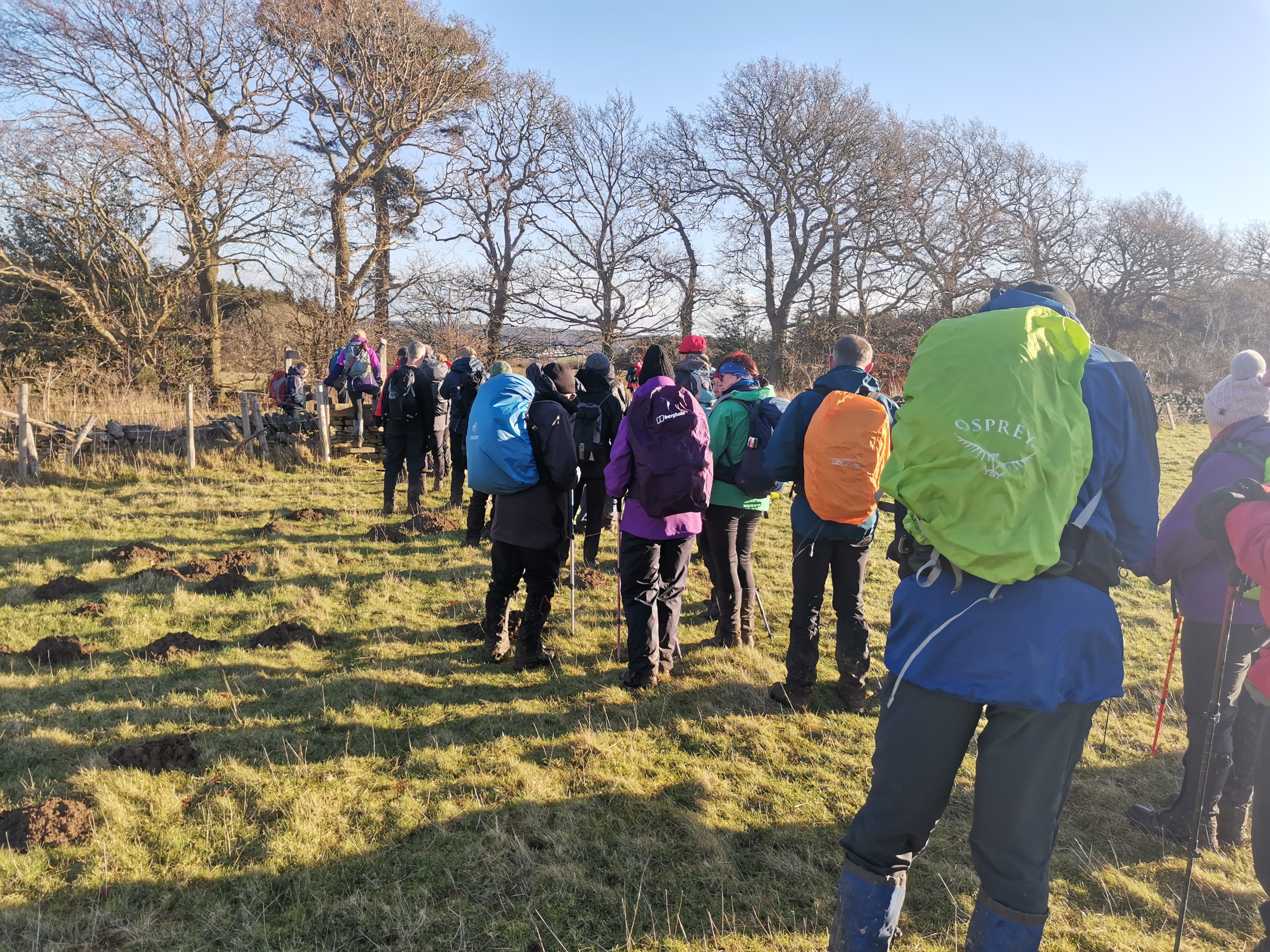
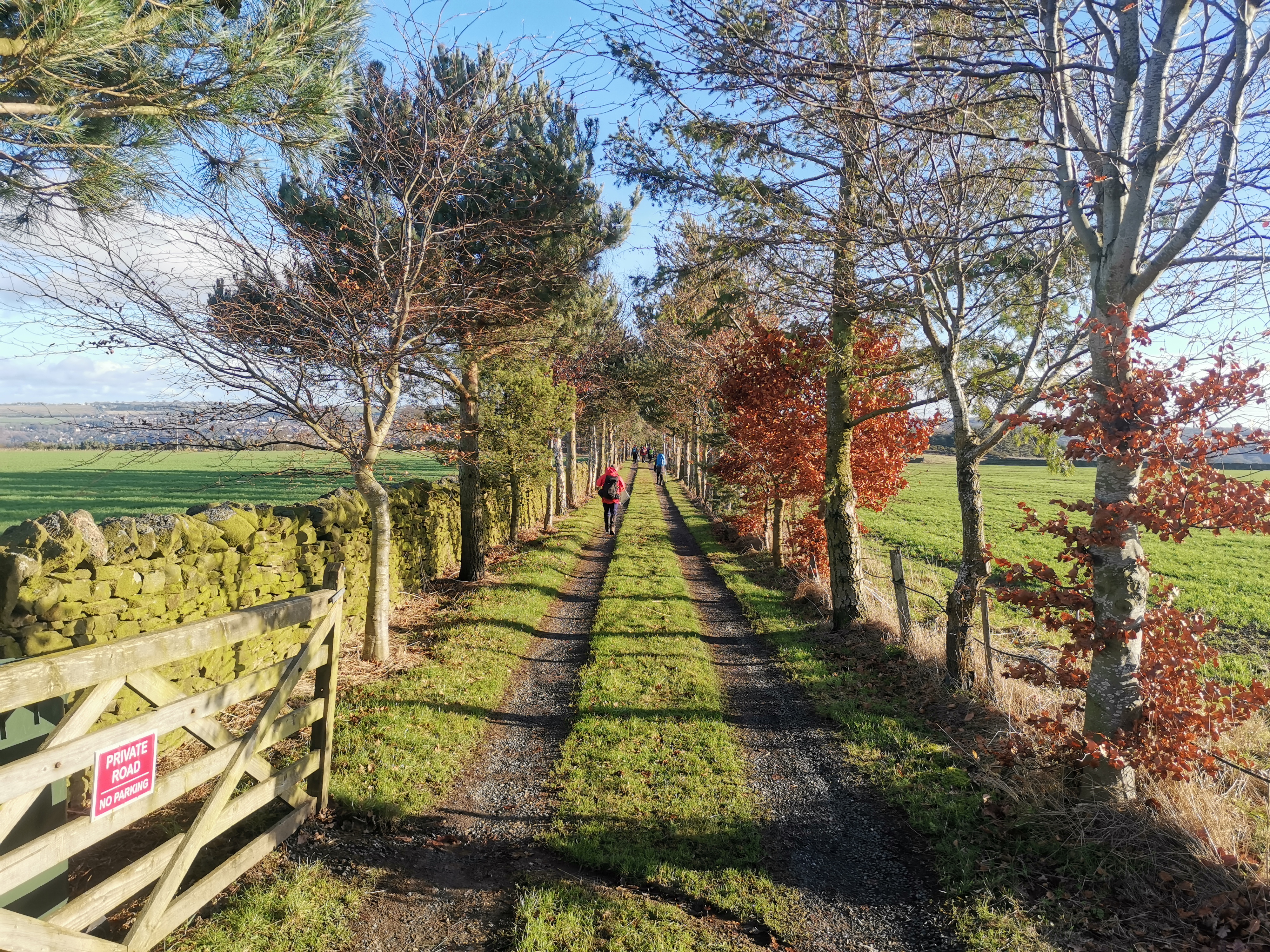
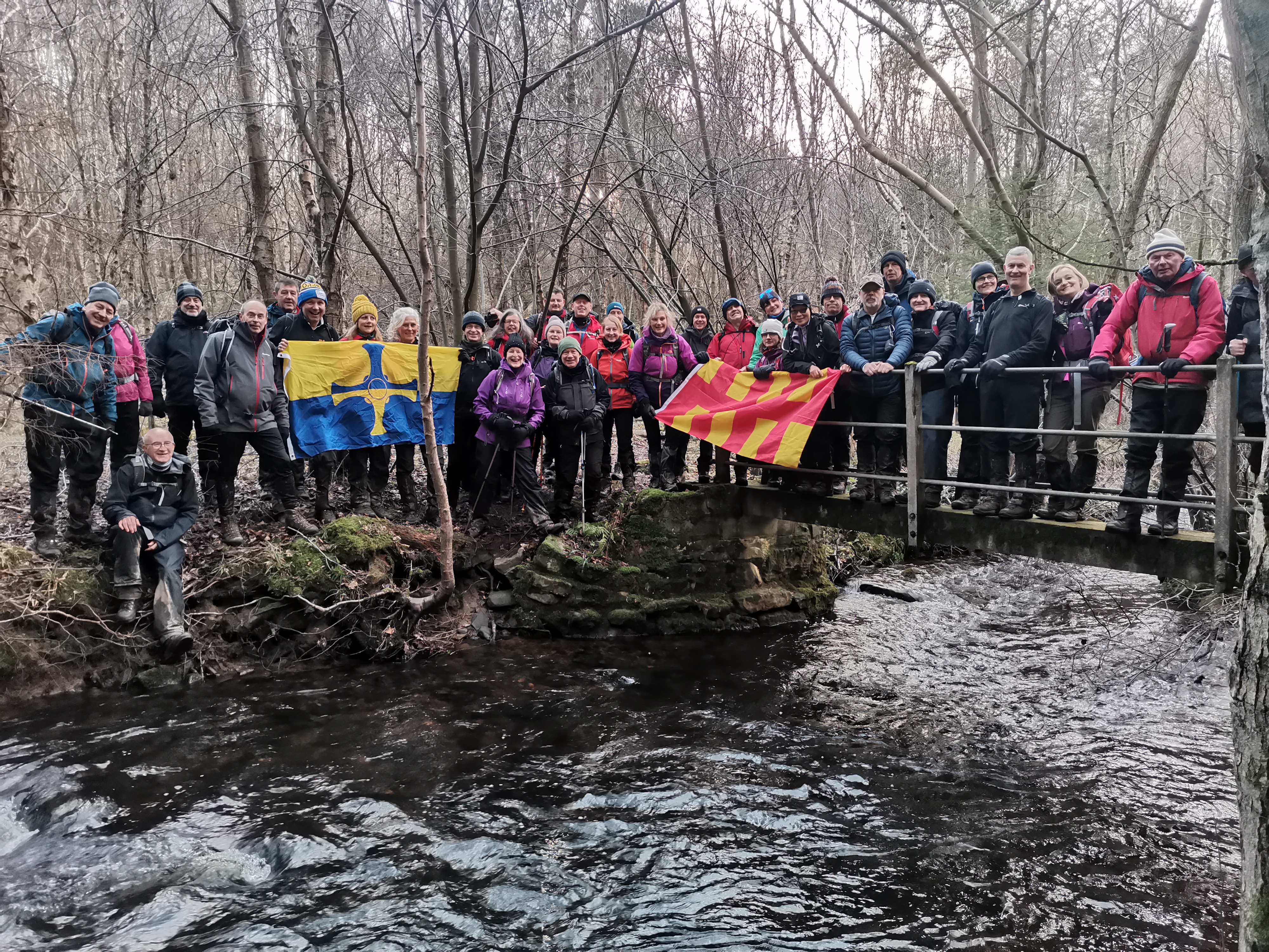
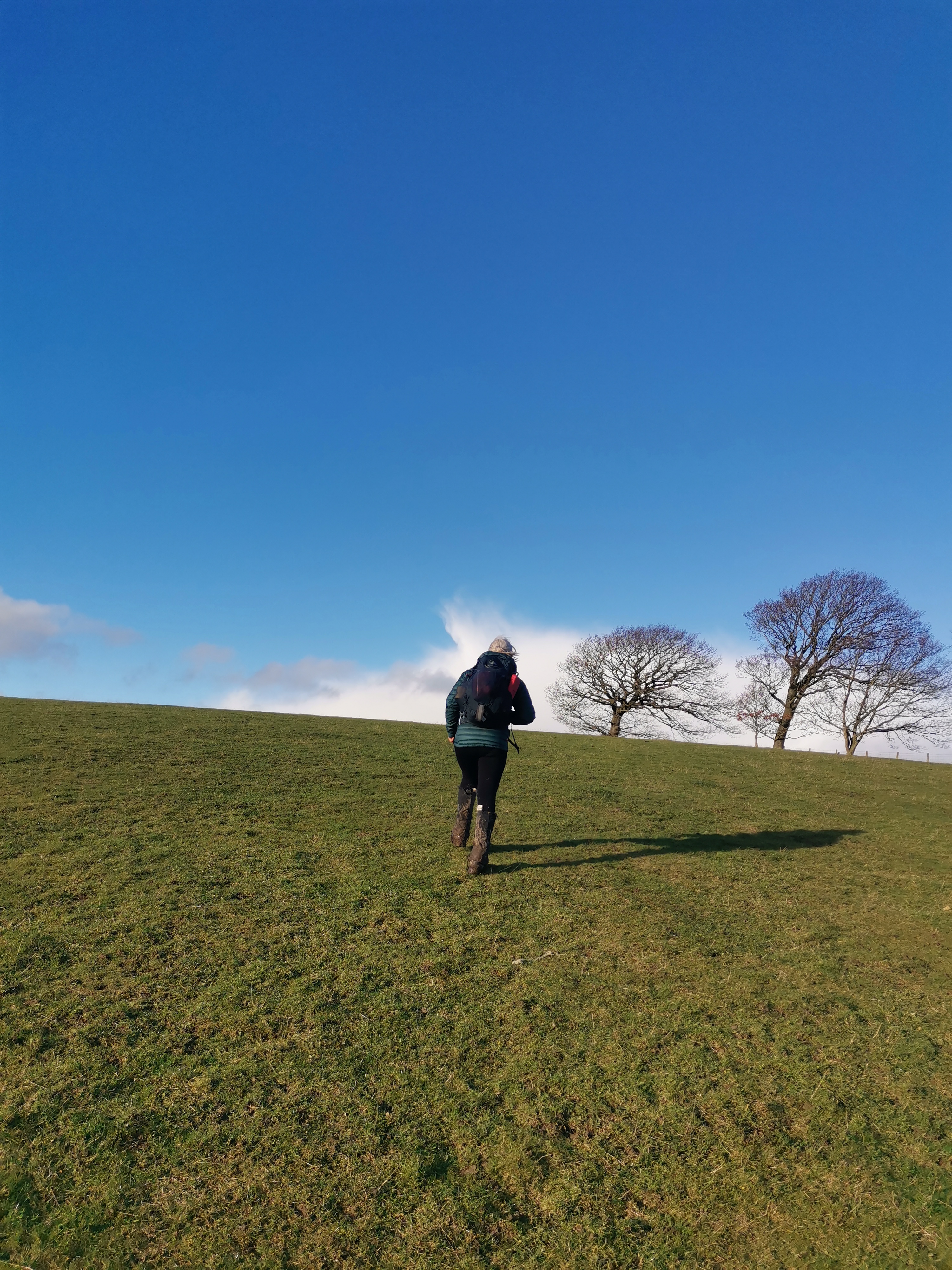
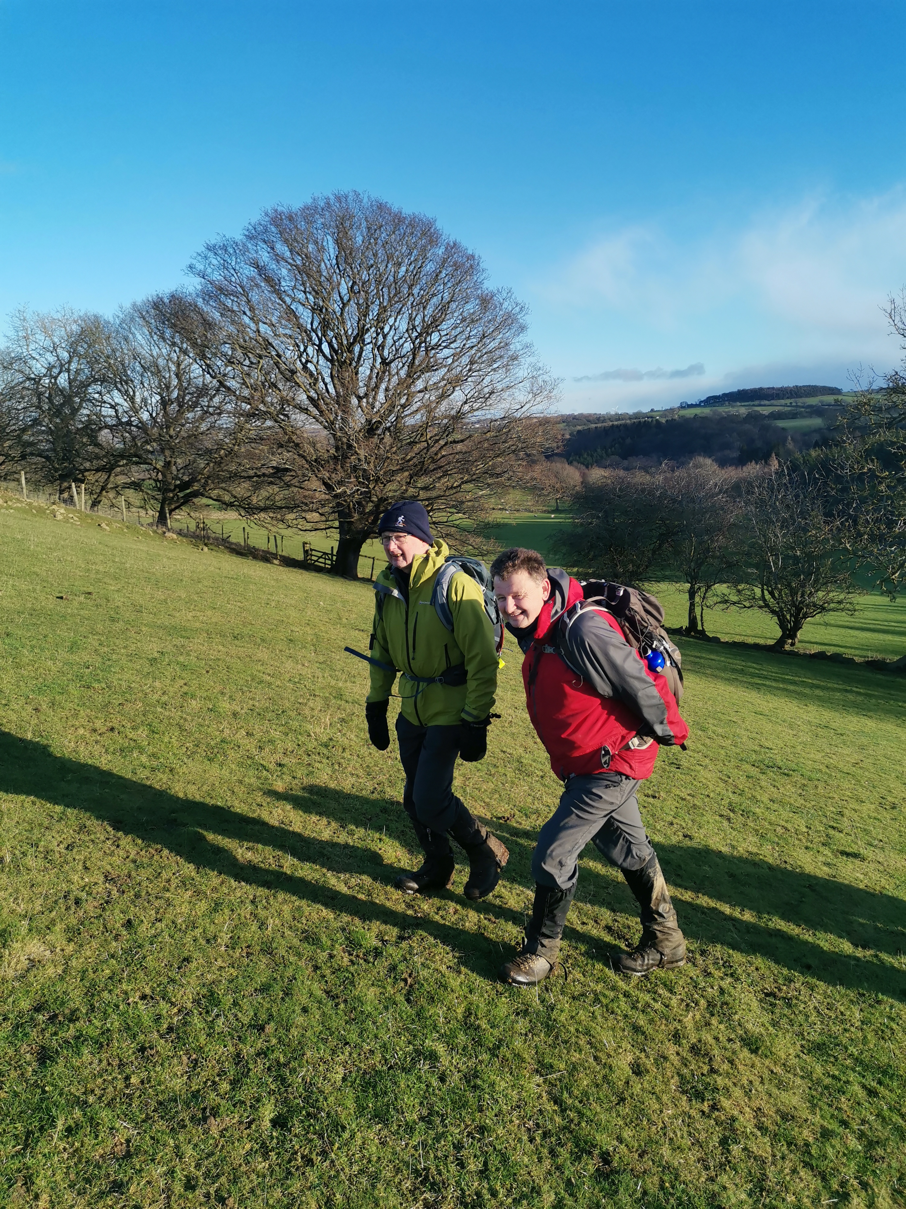
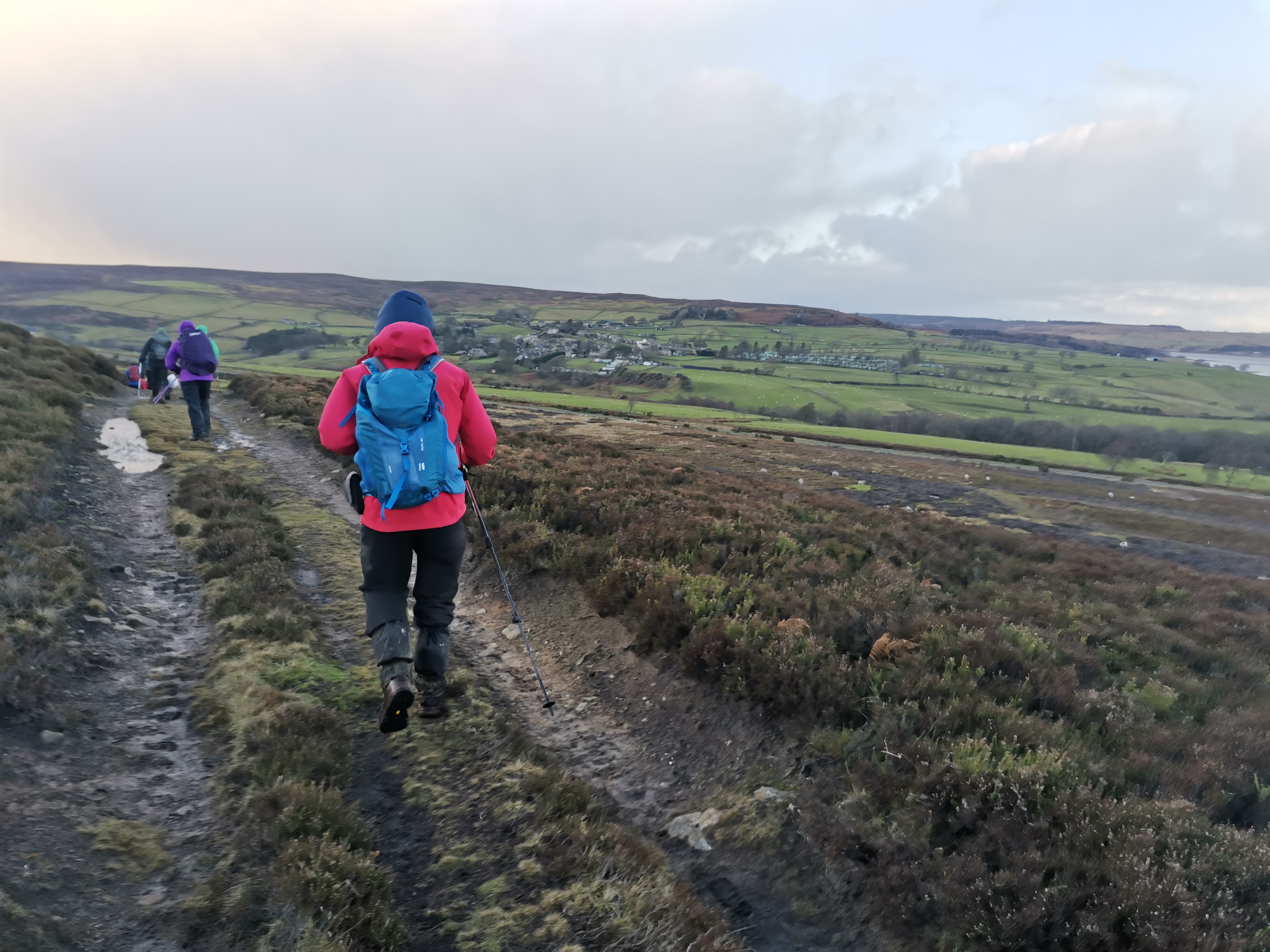
This last Saturday 14th January, no less than 40 enthusiasts were blessed with another sunny day when we met for our walk from Edmundbyers in the Derwent Valley - gentle rolling scenery to be enjoyed with nothing taxing for the limbs. From Edmundbyers we walked NW with views of Derwent Reservoir soon before us and on to Pow Hill Country Park, then following one of several muddy, splodgey paths alongside the reservoir in a SE direction to cross the dam. Turning east on to tarmac we walked towards Birkenside Farm, crossing the A68 and on to Shotleyfield Plantation. As we came out of one area of plantation we had our first stop, 12 noon, sitting against a stone wall in glorious sunshine. There were views across to Shotley Bridge and Consett on one side and on the other a distant view, pointed out to me, of a church which is just off the A68 sitting atop Grey Mare Hill. It turns out to be St Andrew's Church. There has been a church on this site for hundreds of years. The current church of 1892 is a reconstruction of the Georgian church of 1706 which suffered from subsidence due to the collapse of mine workings beneath and this had replaced an even earlier church. Records go back to 1165 linking it to the Abbey of Blanchland. I understand that the particularly interesting feature is the amazing Hopper Mausoleum beside the church, built in 1752 by Humfrey Hopper of nearby Black Hedley for his wife. We trecked over pasture along the southern edge of Shotleyfield Plantation via Greenhead passing nearby Black Hedley, and then eastwards to North Snods. Thereafter the route took a generally southerly direction over pasture and along tracks to the Derwent Manor Hotel our farthest point east of Edmundbyers, before in a westerly direction, re-crossing the A68 to Wallish Walls and SW to Crooked Oak Farmhouse, from where we wended our way through Derwent Gorge and Muggleswick Woods containing areas of ancient oak-birch-ash woodland. (So many intriguing names in this area each with a history of its own.) Here we sat by the strong flowing Hisehope Burn (thanks Paul Nellist - thought is was the Derwent!) for our 2nd break a little gone 2pm. and afterwards had a group ceremonial photo taken with our Durham and Northumberland flags. Well, almost all of the group - we needed a bigger bridge for all 40 walkers!! Coming out on to the minor road we turned north towards Muggleswick some of us heading off towards the village, having mislaid our leader somewhere ahead of us! Then, called back by those bringing up the rear and in the know, we retraced our steps along the road and turned along a track westward again over the moorland of Muggleswick Park, an area enclosed by Prior Hugh De Darlington in the thirteenth century to rival the Prince Bishop's hunting park at Stanhope, in Weardale! Here, on the most exposed part of the walk the weather suddenly turned with a strong breeze driving the brief shower, stinging the cheeks. Fortunately it soon passed. We had views again, across to our right, of the 3mile long Derwent Reservoir as we followed the moorland track and on the left to two hillocks, one with a single and the other with 3 stone cairns marking their tops - the latter known as the Three Curricks (Cumbrian for cairn), or Three Witches. I've read that they have sat on Muggleswick Common since medieval time and it is suggested they may be part of an ancient burial ground! (This info is especially for you Peter!) Reg K Atkinson has designed and sells art work depicting them. Another titbit of information I've gleaned in the context of witches, is that in the 1600s and even into the 1700s Edmundbyers seems to have been associated with witches, with several women in the neighbourhood exposed for their witchery in the 1670s! Walking on over pasture beside the banks of the Burnhope Burn, which skirts Edmundbyers, and up the track we returned to Edmundbyers just before 3, and just before a heavier prolonged cloud burst - we were very lucky! The walk was 13.5 miles, shorter than usual to allow for the AGM that followed at The BAA in Edmundbyers. It was a great meeting even if the heating in the marquee didn't live up to expectations! Presentations included a special award to Bill Milbourne for his magnificent support, wearing, at times, numerous 'hats', often simultaneously, over many years keeping our group going during tricky times. Also to Paul Nellist for his tremendous organisation enabling us, over the course of this last year, to complete, in linear stages, The Saints Trail from Durham Cathedral to Holy Island, to mark the LDWA's 50th anniversary. And then a trophy to our Len Fallick - 'Len the Legend' - who completed his 40th 100 mile challenge last June - a remarkable achievement, indeed a legend - and I had the privilege of walking with him for 68 of those miles that I completed. (Unfortunately my photos in the marquee are not that clear - hope others took some too.) Afterwards we were in the main building to enjoy a tasty meal, more banter and me with my usual pint, before I left to travel over the tops, already showing ice and with a fine covering of snow, back to Weardale. What a great year 2022 has been and our most appreciative thanks go out to the committee and walk leaders, on this occasion Jim, and indeed all who support our thriving Northumbria LDWA group. We look forward to another great year's walking and anyone interested is more than welcome to join us. (Beryl Massey)Other Files
GPX
A GPX file of the above route may be downloaded by clicking the link below.
Note: GPX files of Group Walks are created by LDWA Group members, and may be downloaded only by other LDWA members. They should not be made available outside the LDWA, and are used at members' own risk.
Login to Download (Members Only)You can use the interactive controls to zoom in and out and to move around the map, or click on a path or a marker for more info. (interactive map help)
You can use the interactive controls to zoom in and out and to move around the map, or click on a path or a marker for more info. (interactive map help)
Contains Ordnance Survey data © Crown copyright and database right 2016.
© OpenStreetMap contributors under Open Database Licence
Rights of way data from selected Local Authorities
Large scale digital mapping is provided by John Thorn
At high zoom levels the route is indicative only.
© OpenStreetMap contributors under Open Database Licence
Rights of way data from selected Local Authorities
Large scale digital mapping is provided by John Thorn
At high zoom levels the route is indicative only.
Gallery
Maps:
You can use the interactive controls to zoom in and out and to move around the map, or click on a marker for more info. (interactive map help)
Contains Ordnance Survey data © Crown copyright and database right 2016.
© OpenStreetMap contributors under Open Database Licence.
Rights of way data from selected Local Authorities.
Large scale digital mapping is provided by John Thorn.
© OpenStreetMap contributors under Open Database Licence.
Rights of way data from selected Local Authorities.
Large scale digital mapping is provided by John Thorn.


