
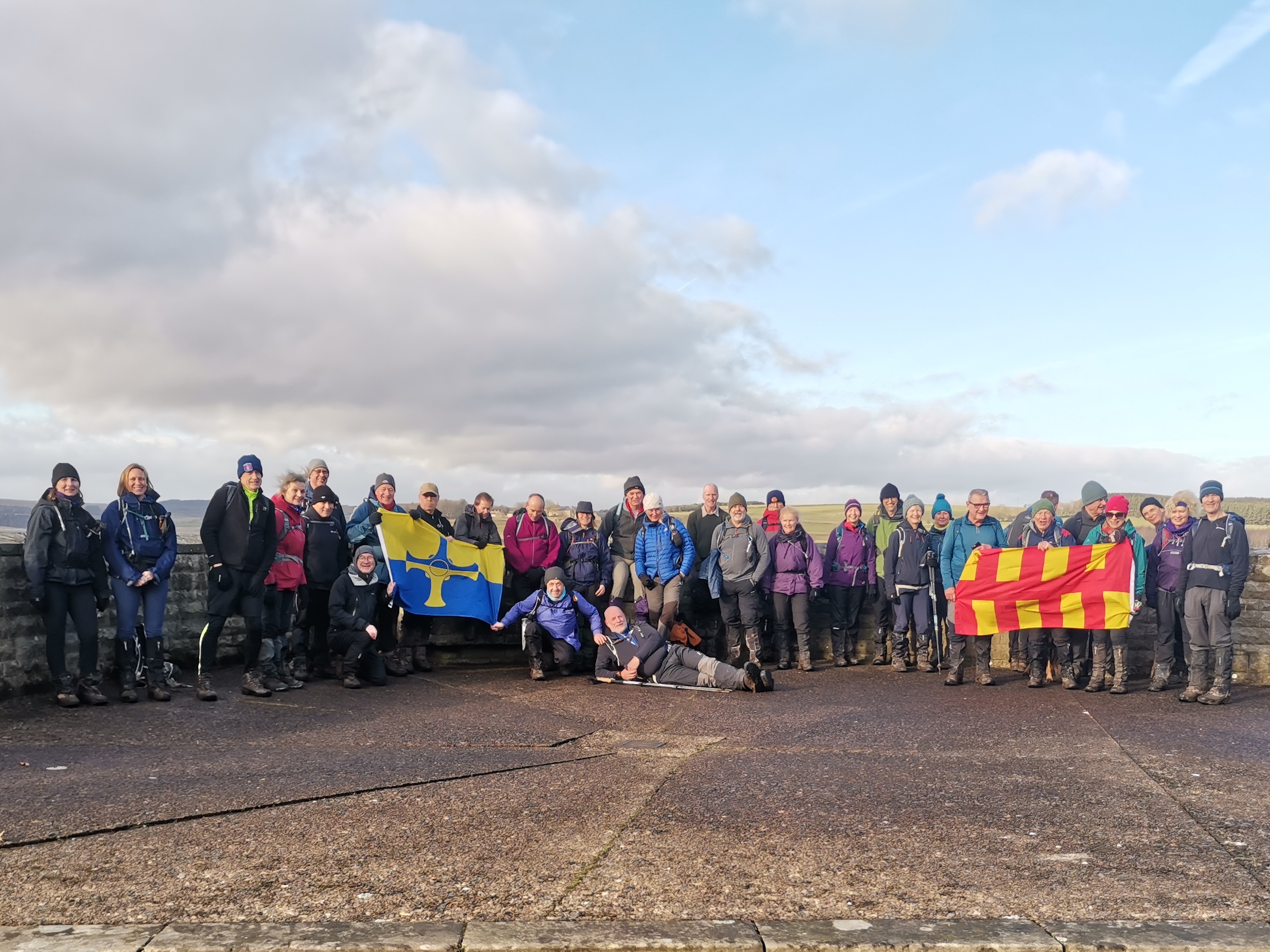
Rowley Poly Plodding
Sat 27th Jan 2024
Walk Details:
Event Type
Group Walk
Region / Area
Northern England / Derwentside/North Pennines
Local Group
Northumbria
Distance
18ml.
Start Time
8am
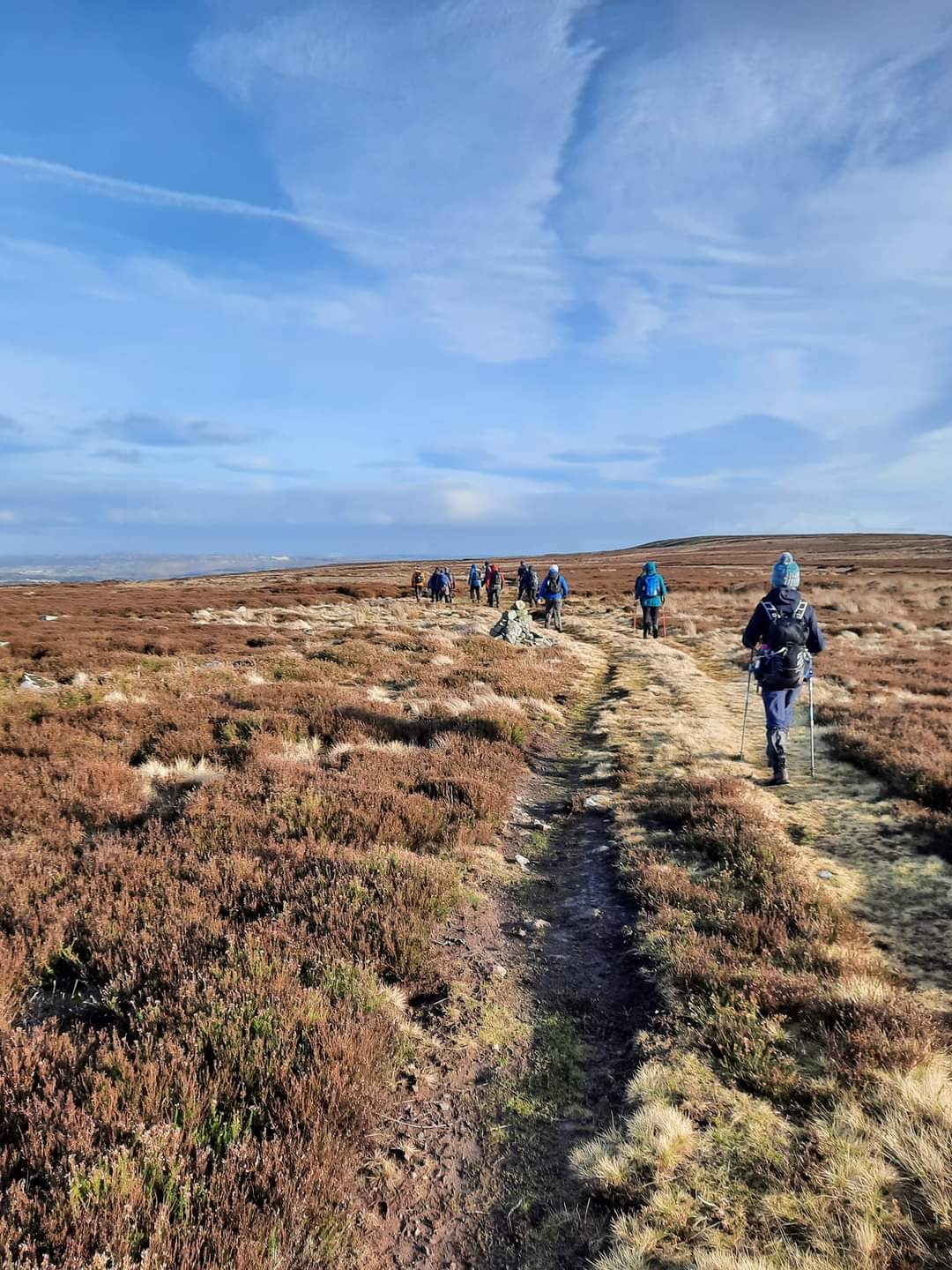
Route
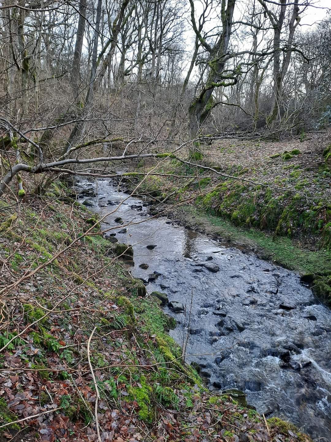
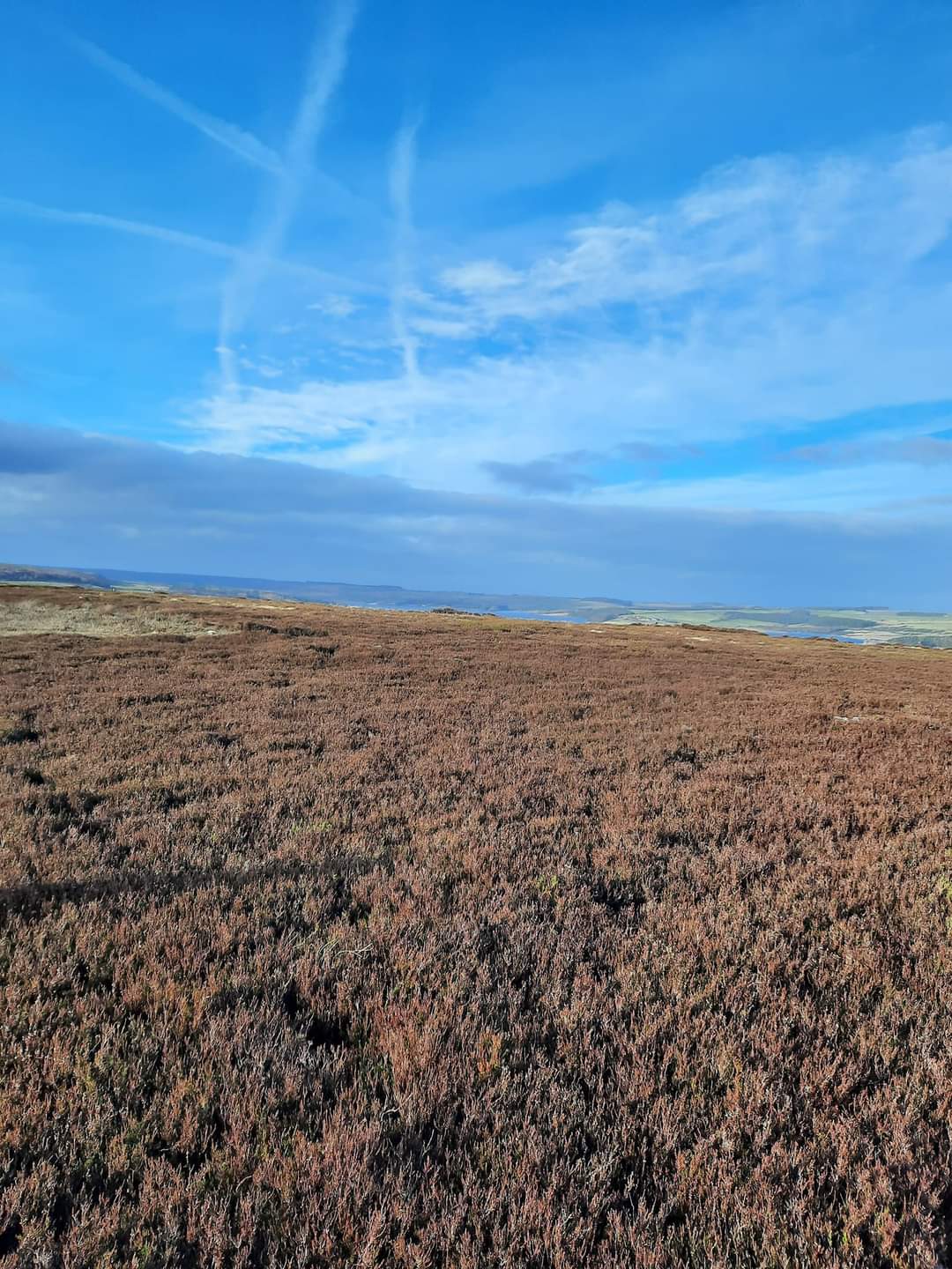
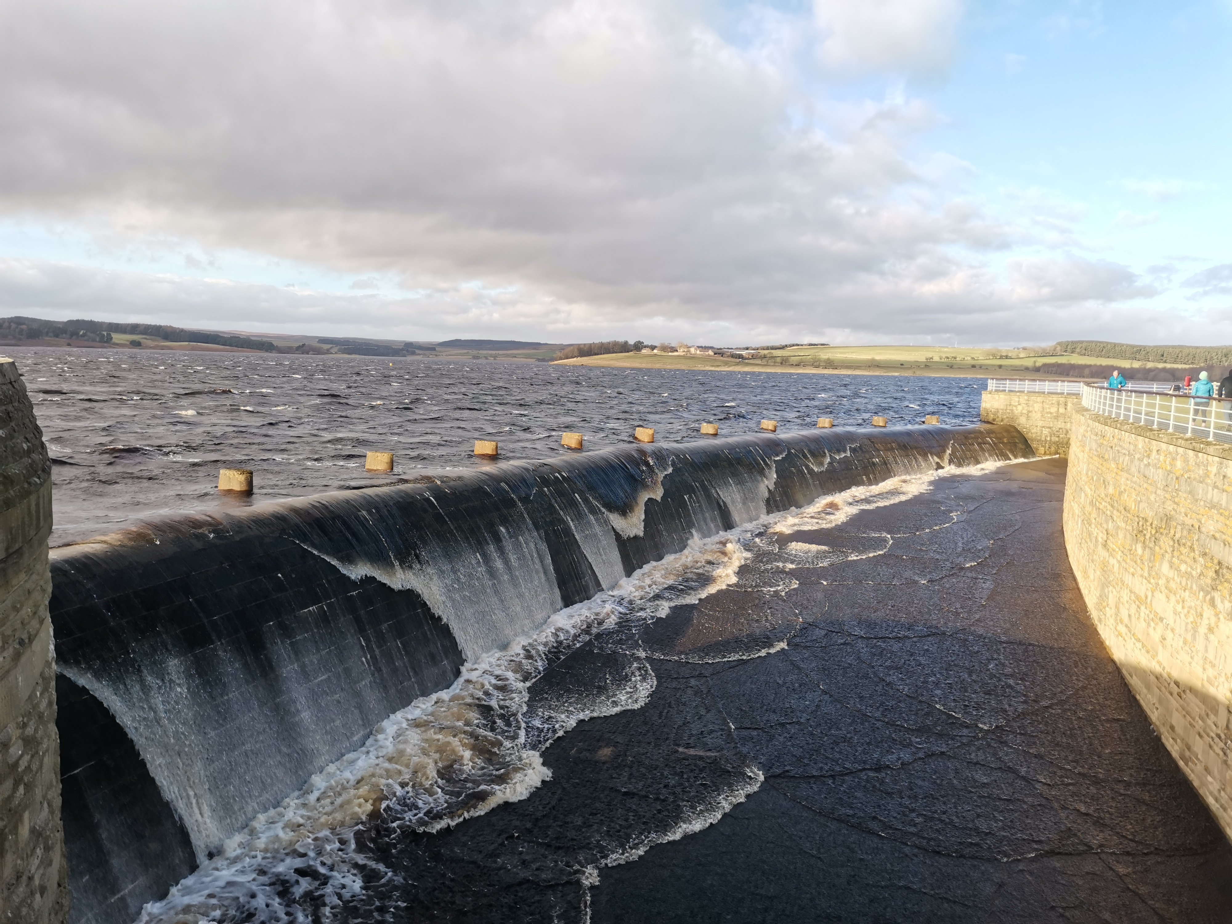
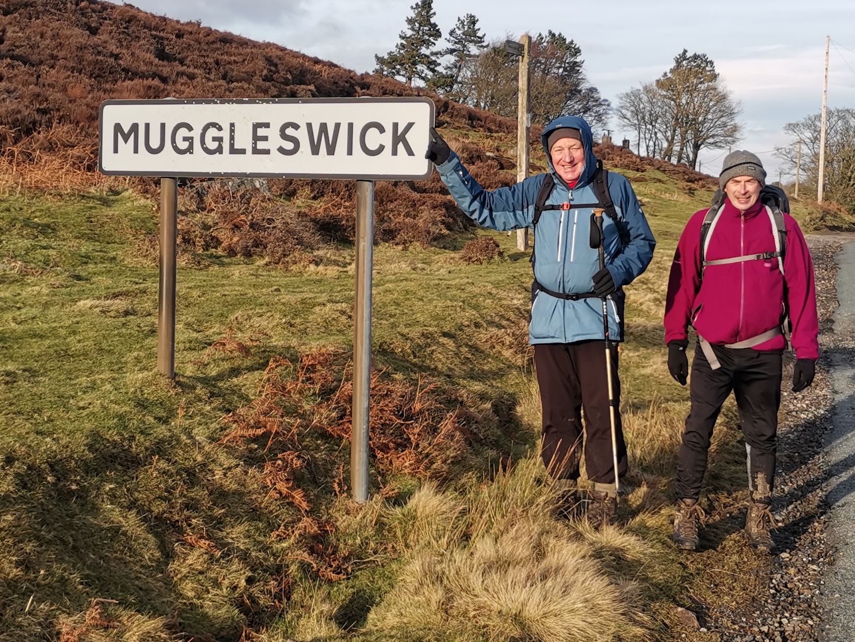
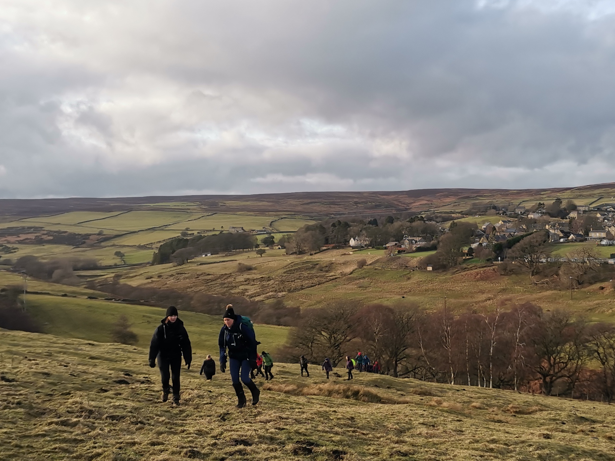
Circular walk. Starts from Rowley Station free c.p. This is just off the A68 about a kilometre south of Castleside. The entrance track to the c.p is on the west side of the A68. The route involves: Waskerley Way, Hownsgill Viaduct, Lydgett's Junction, the River Derwent, Snod's Edge, Derwent Reservoir, Pow Hill, Edmundbyers, Muggleswick Park, Hisehope Bridge, Whitehall. Leader will be Paul Nellist. We should finish in daylight, but as with all winter walks please bring a torch just in case
General Notes
Please note that by attending this walk you agree to the Northumbria LDWA group rules with regards to: a) Dogs are welcome on leads, but owners must have up to date public liability insurance b) Photographs of people must be with the full consent of those people for the taking & distribution of the photographs Sunrise 8:07am, Sunset 16:31pm
Web Site
Start
Finish
Entry Details:
Cost
Walk Report
In retrospect it may well have been better to actually start this walk in Edmundbyers. Plenty on street parking is available in Edmundbyers and there are a couple of pubs in the village for drinks afterwards. Rowley Station car park is a bit more out of the way. The walk turned out to be 19.5 miles in the end with about 2.500ft of ascent. (Paul Nellist)Other Files
GPX
A GPX file of the above route may be downloaded by clicking the link below.
Note: GPX files of Group Walks are created by LDWA Group members, and may be downloaded only by other LDWA members. They should not be made available outside the LDWA, and are used at members' own risk.
Login to Download (Members Only)You can use the interactive controls to zoom in and out and to move around the map, or click on a path or a marker for more info. (interactive map help)
You can use the interactive controls to zoom in and out and to move around the map, or click on a path or a marker for more info. (interactive map help)
Contains Ordnance Survey data © Crown copyright and database right 2016.
© OpenStreetMap contributors under Open Database Licence
Rights of way data from selected Local Authorities
Large scale digital mapping is provided by John Thorn
At high zoom levels the route is indicative only.
© OpenStreetMap contributors under Open Database Licence
Rights of way data from selected Local Authorities
Large scale digital mapping is provided by John Thorn
At high zoom levels the route is indicative only.
Gallery
Maps:
You can use the interactive controls to zoom in and out and to move around the map, or click on a marker for more info. (interactive map help)
Contains Ordnance Survey data © Crown copyright and database right 2016.
© OpenStreetMap contributors under Open Database Licence.
Rights of way data from selected Local Authorities.
Large scale digital mapping is provided by John Thorn.
© OpenStreetMap contributors under Open Database Licence.
Rights of way data from selected Local Authorities.
Large scale digital mapping is provided by John Thorn.


