
It's a Big River
Sat 7th Jan 2023
Walk Details:
Event Type
Group Walk
Region / Area
Northern England / Tyneside
Local Group
Northumbria
Distance
18.5ml.
Start Time
08:30am
Route
Start at Garth Farm Road car park, Winlaton, NE21 6DB. Leader John Scott will take us on a tour of his home patch. Drinks and debrief at the Rose and Crown afterwards.
This first group social walk of 2023 is a great opportunity to stretch the legs and breathe some fresh air after the festive period
General Notes
By doing this walk you are agreeing to abide by the rules of Northumbria LDWA with regards to a) Dogs are welcome on leads, but owners must have up to date public liability insurance in place b) Those taking photographs must ensure that all people in photographs have given explicit consent for the taking and distribution of the photograph. Sunrise - 8:25am, Sunset - 15:38pm
Web Site
Start
Finish
Entry Details:
Cost
Walk Report
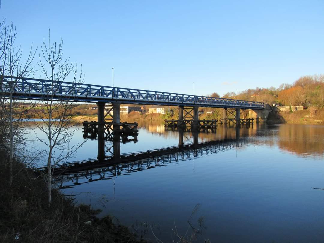
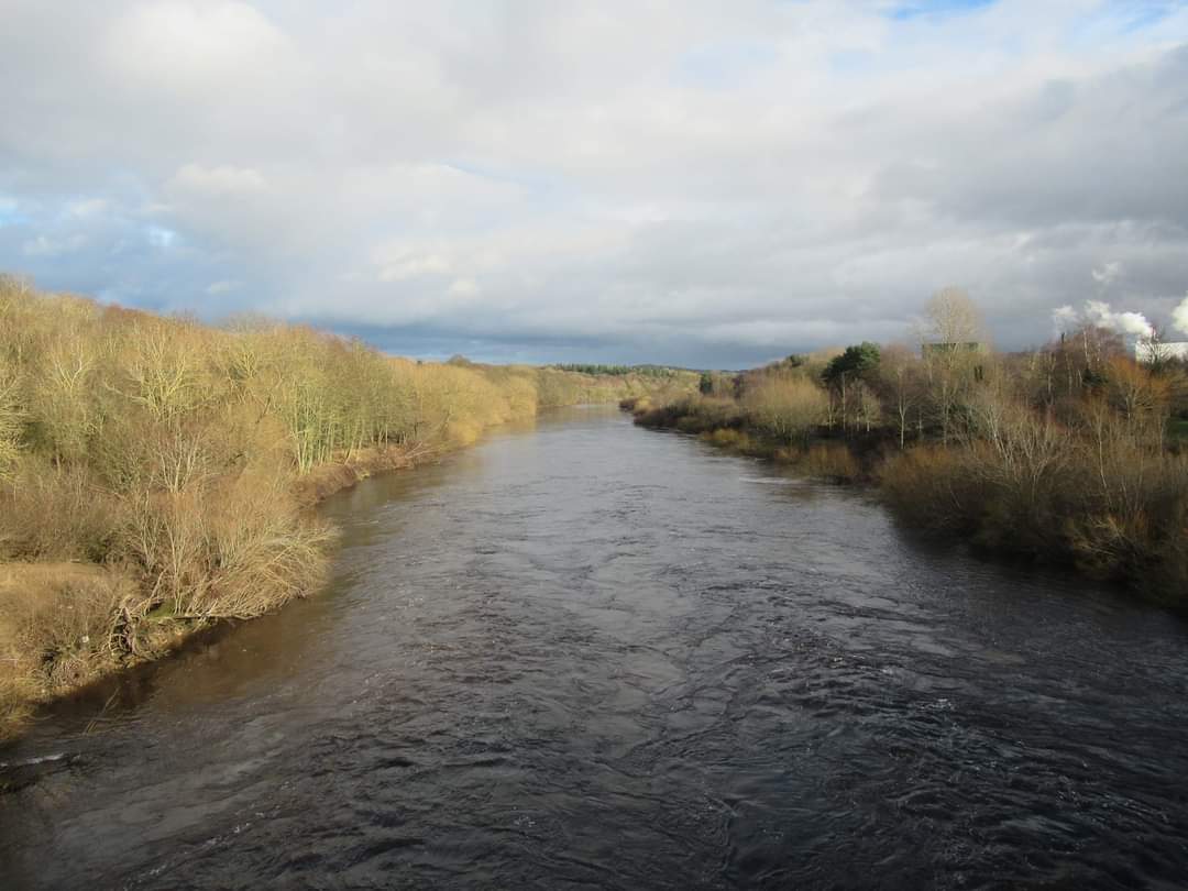
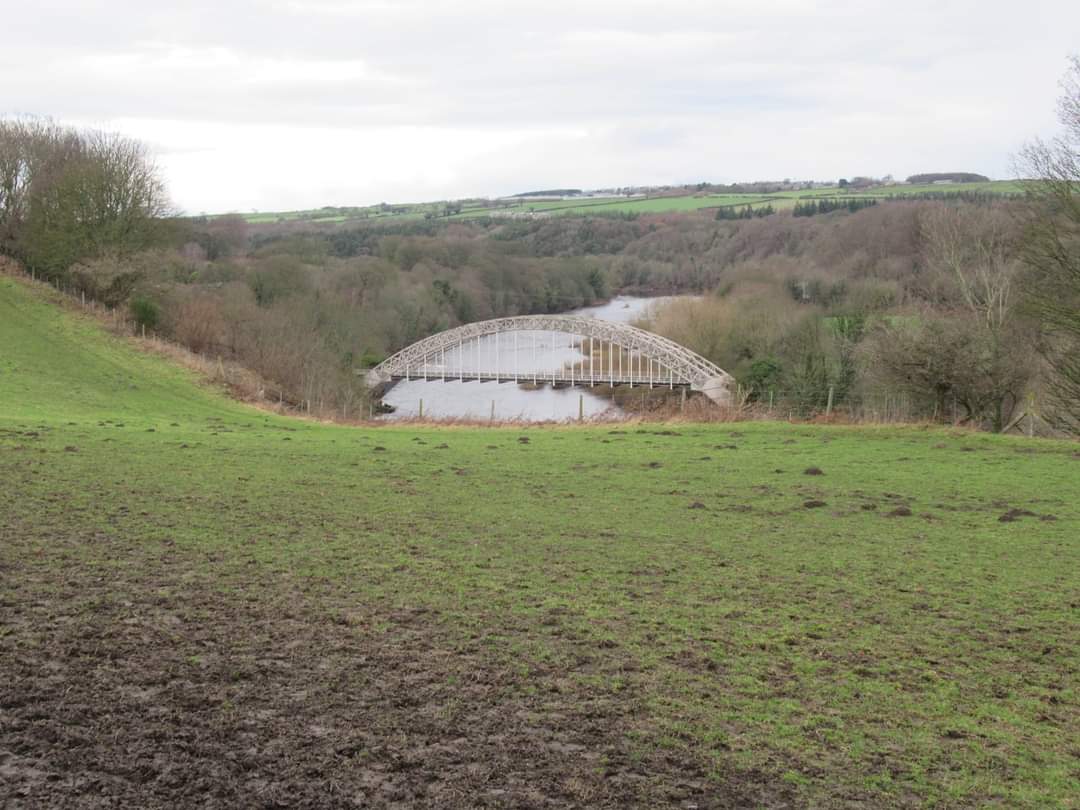
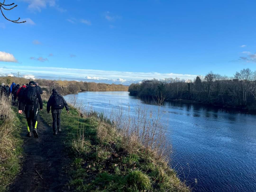
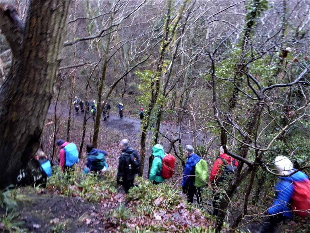
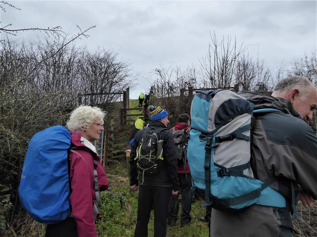
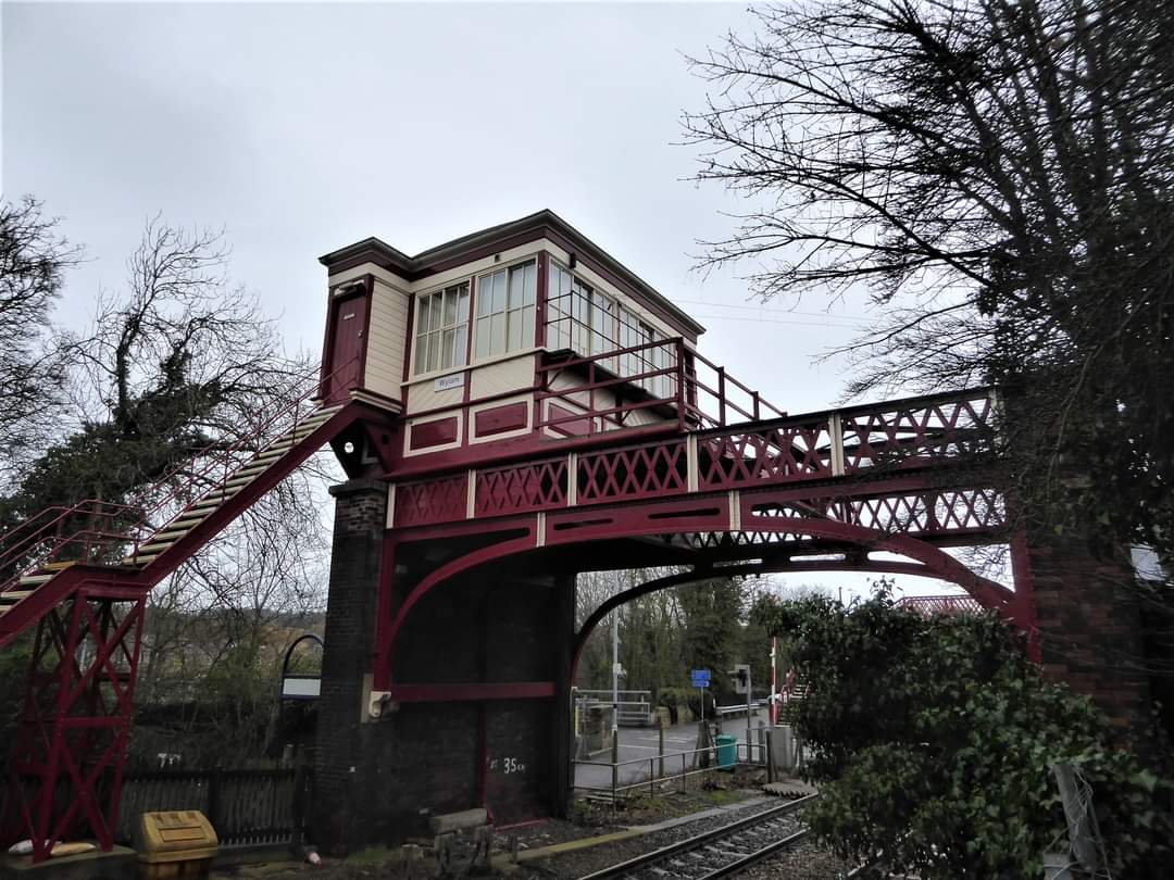
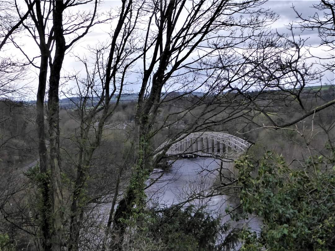
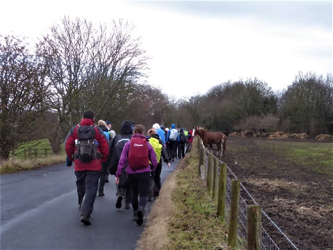
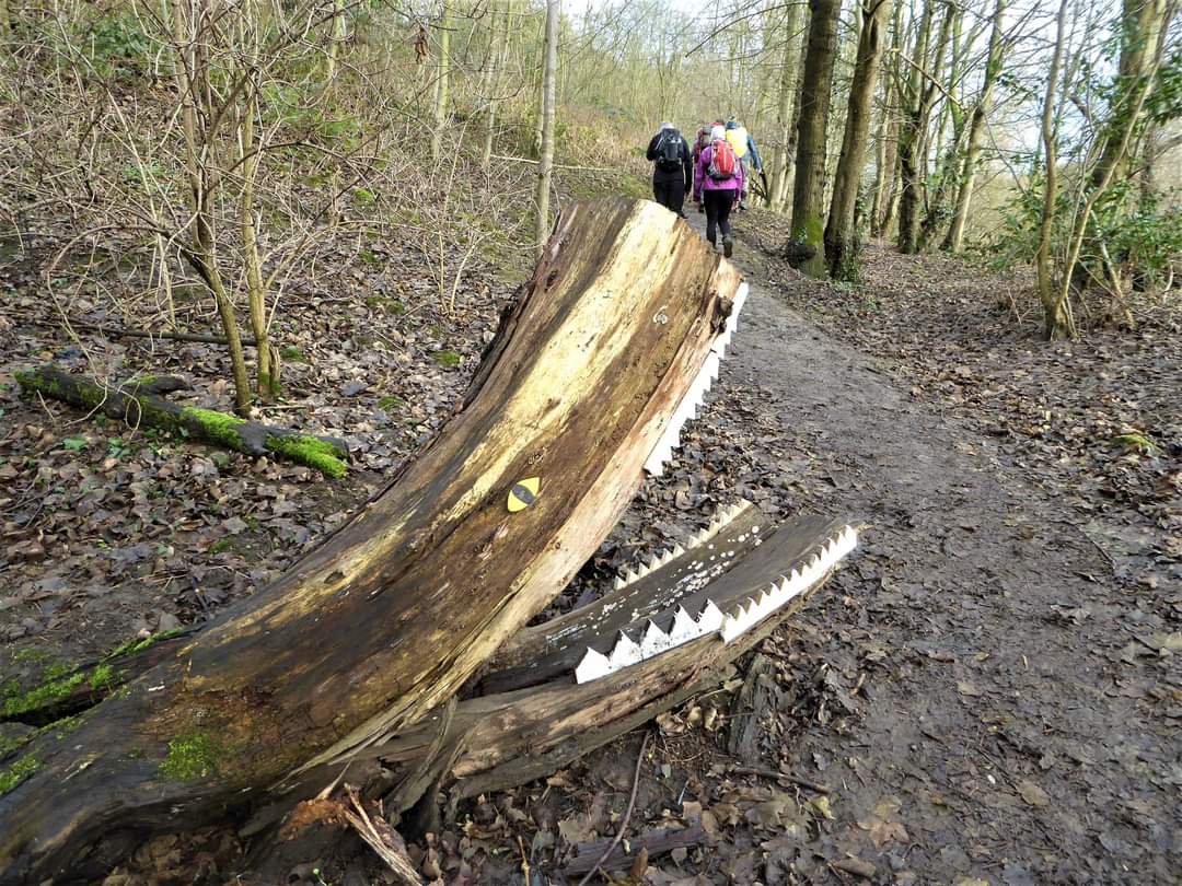
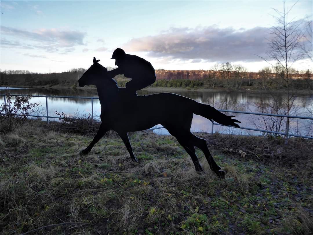
When I opened the back door at 6.30a.m. on Saturday a strong breeze blew in the rain - not promising for the 18.5 mile walk I was doing with my LDWA Northumbria group. It didn't deter - I was already up after all, not having had the best of night's sleep. By the time I was leaving just after 7.30 the rain had eased and lessened further as I travelled north east. On joining 37 others in the CP at Winlaton near Blaydon it was just mizzle. The forecast hadn't been good and we expected at least one downpour over the morning and were hopeful of a cloudy fine afternoon. The downpour never came and during the afternoon we were blessed with sunshine and blue sky - like a spring day. It was a lovely and surprising walk in an area renowned for mining, sand and gravel pits and industry. From our meeting point we dropped down on to the former industrial rail track following Blaydon Burn heading north which soon took us into open country. Turning in a westerly direction we walked through Barlow Burn Nature Reserve and on to Greenside. Then in a northerly direction over Bradley Fell, pasture and tracks passing Bradley Hall, an estate designed by the architect John Dobson for a wealthy coal mining family, the Simpsons. It was completed in 1845 along with a 4 acre walled kitchen garden. The latter was sold off separately in the 1950's. Being sold again in 2013, the gardens have been restored and afternoon teas are on the menu. Must make a visit. And so on to Wylam, walking by the station as we continued westward following road and paths beside or above the Big River, The Tyne of course, on its southern bank. The tidal limit of the Tyne was Ryton Island - opposite Ryton - from at least the Medieval Period, where there was a ferry. But in 1900 it was moved c. 3.5miles upstream to Wylam by dredging between Newburn and Ryton. A 1metre high stone - the tide stone - marks the old limit, situated, apparently half way between Newburn and Ryton on the north bank of the riverside footpath. I missed it!! We looked over to Hagg Bank Bridge, - officially West Wylam railway bridge, that has more than a passing resemblance to the Tyne Bridge. It opened to rail traffic, 6th October 1876 but the Beeching cuts put an end to this in 1968. The trackwork was removed in 1972, and in 1975 the bridge was converted into a footbridge and cyclepath linking Wylam with the Tyne Riverside Country Park at Low Prudhoe. We walked through the park to its central cafe where we had our first break c.8.5 miles in. Ovingham Bridge was the most westerly point of our walk and crossing over we turned east following riverside paths, waggonways and forest tracks on the north bank of the Tyne, passing the humble cottage where George Stephenson was born and lived until he was 8, Hagg Bank Bridge again, Wylam road bridge the current upper tidal limit and on to Newburn Bridge built between 1892 and 1893. Up to this time numerous ferries operated in the river around Newburn. The bridge had two traffic lanes until the 1960s when it was reduced to a single lane with a 9 tonnes weight limit, raised subsequently to 10 tonnes! On the approach to the bridge there is a monument marking the Battle of Newburn Ford in 1610, a skirmish with the Scots - who else! - one that eventually led to the English Civil War. We passed the Tyne Amateur Rowing Club just before Newburn Bridge where we crossed to the south bank, continuing eastward, passing the tribute to the Blaydon Races and, all the while, enjoying lovely views along and across the river. Turning south away from the Tyne we followed Blaydon Burn along the waggonway to make the steady climb - the only significant climb! - back up to Winlaton c. 4pm The Rose and Crown had no real ales and didn't permit us to indulge in the drizzle cake Clare had made for our post walk gathering, but at least they had my favourite black stuff! Many thanks, John for a great day's walking - a cracking start to the New Year. Good to see everyone and a few new members. (Beryl Massey) John's jaunt The hub of the carpark Is where we met The weather was warm but started off wet A buzz of excitement had filled the air Clare had turned up with her culinary flair Friends spoke of Santa as another year gone Then we had a briefing from " black and white " John! It was boil in the bag as he marched us off But most stripped down or we'd turn into froth! We all took our places and walked in line A seventy six legged centipede with a wiggly spine The artery of the Tyne flowed through this walk This historic landscape If only rivers could talk! There was laughter and banter for nearly nineteen mile And a well deserved pint we finished in style. (Paul Ashman)Other Files
GPX
A GPX file of the above route may be downloaded by clicking the link below.
Note: GPX files of Group Walks are created by LDWA Group members, and may be downloaded only by other LDWA members. They should not be made available outside the LDWA, and are used at members' own risk.
Login to Download (Members Only)You can use the interactive controls to zoom in and out and to move around the map, or click on a path or a marker for more info. (interactive map help)
You can use the interactive controls to zoom in and out and to move around the map, or click on a path or a marker for more info. (interactive map help)
Contains Ordnance Survey data © Crown copyright and database right 2016.
© OpenStreetMap contributors under Open Database Licence
Rights of way data from selected Local Authorities
Large scale digital mapping is provided by John Thorn
At high zoom levels the route is indicative only.
© OpenStreetMap contributors under Open Database Licence
Rights of way data from selected Local Authorities
Large scale digital mapping is provided by John Thorn
At high zoom levels the route is indicative only.
Gallery

Maps:
You can use the interactive controls to zoom in and out and to move around the map, or click on a marker for more info. (interactive map help)
Contains Ordnance Survey data © Crown copyright and database right 2016.
© OpenStreetMap contributors under Open Database Licence.
Rights of way data from selected Local Authorities.
Large scale digital mapping is provided by John Thorn.
© OpenStreetMap contributors under Open Database Licence.
Rights of way data from selected Local Authorities.
Large scale digital mapping is provided by John Thorn.


