
Bill's Three Counties
Sat 20th Aug 2022
Walk Details:
Lintzford, Blackhall Mill, High Mickley, Coalburns, Chopwell Woods back to Lintzford. Starts in Lintzford, on the River Derwent. As the title suggests involves the three counties of Durham, Northumberland, Tyne and Wear, which all meet at Blackhall Mill
Entry Details:
Walk Report
Car parking for this walk grid reference more like NZ147571. Plenty of spaces off the A694 in layby. If driving from Gateshead to Consett, on the left, just before a bridge over the Derwent. There is a large garden centre just the other side of the bridge. Drinks were in the Miners Arms at Medomsley, which was very good. ( Paul Nellist)Other Files
GPX
A GPX file of the above route may be downloaded by clicking the link below.
Note: GPX files of Group Walks are created by LDWA Group members, and may be downloaded only by other LDWA members. They should not be made available outside the LDWA, and are used at members' own risk.
Login to Download (Members Only)You can use the interactive controls to zoom in and out and to move around the map, or click on a path or a marker for more info. (interactive map help)
You can use the interactive controls to zoom in and out and to move around the map, or click on a path or a marker for more info. (interactive map help)
© OpenStreetMap contributors under Open Database Licence
Rights of way data from selected Local Authorities
Large scale digital mapping is provided by John Thorn
At high zoom levels the route is indicative only.
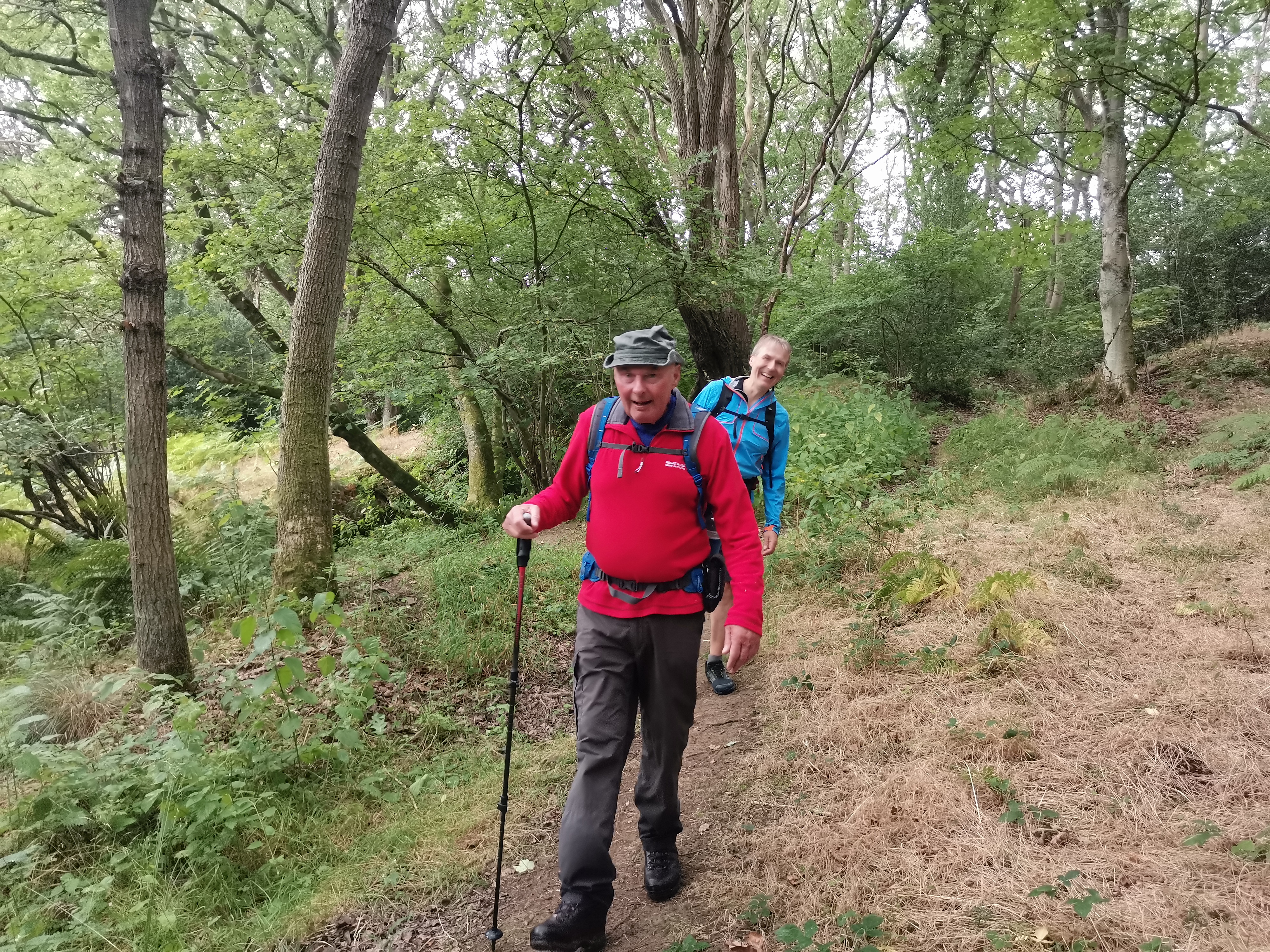
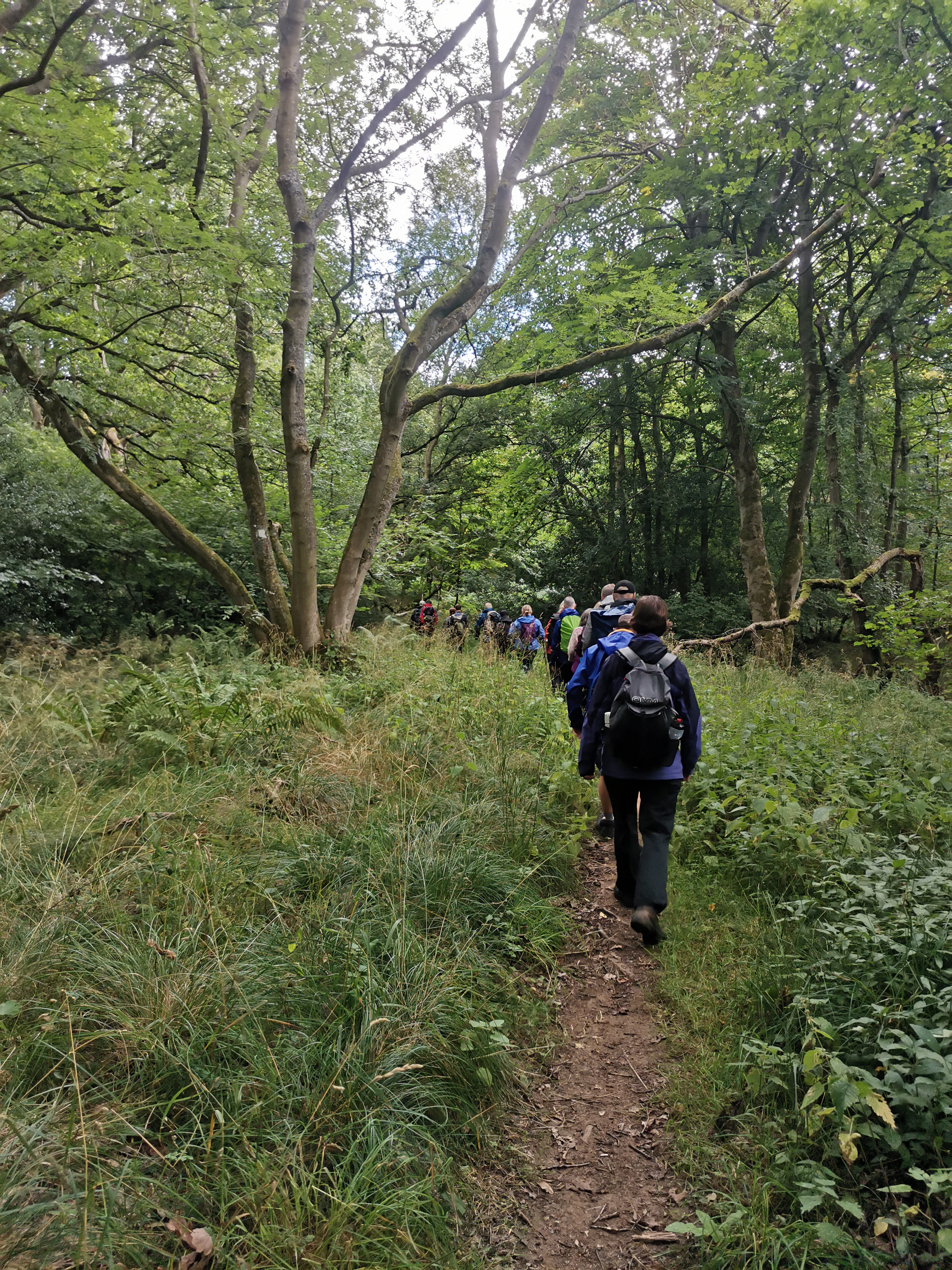
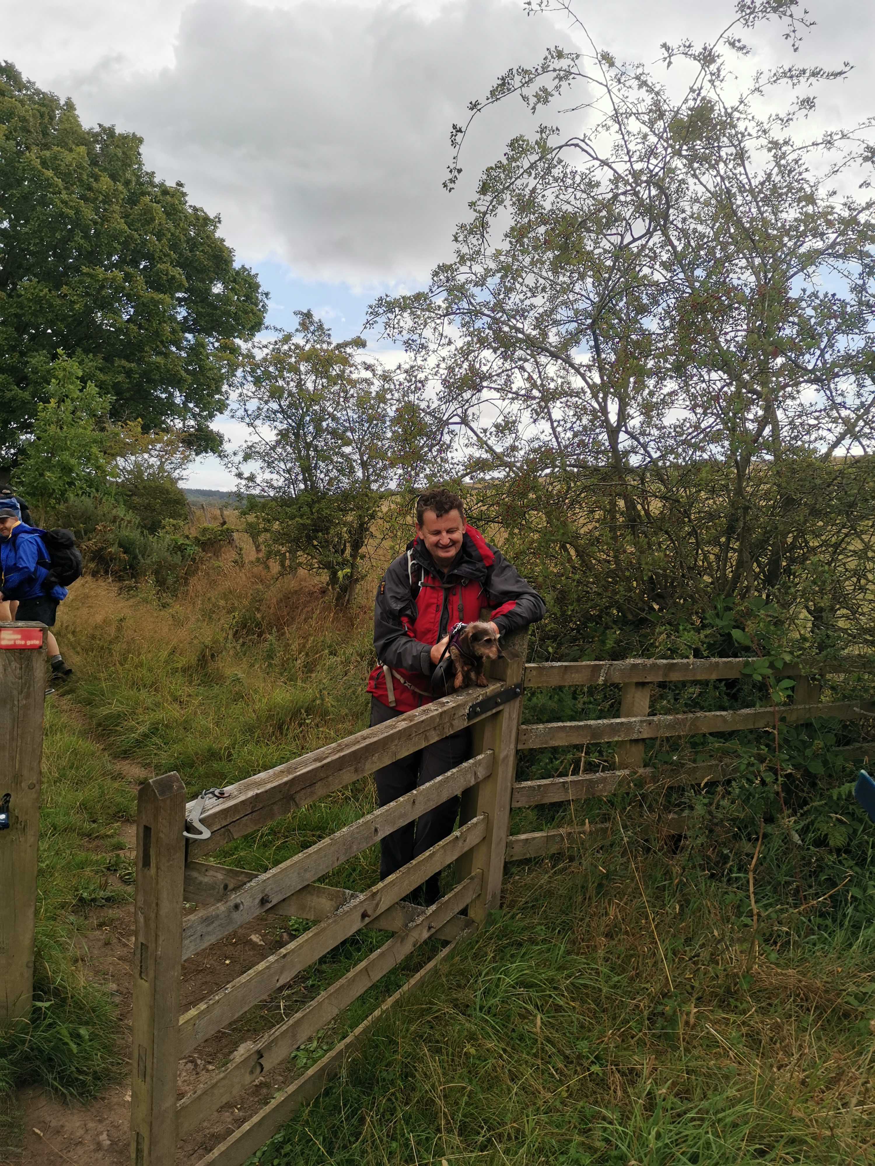
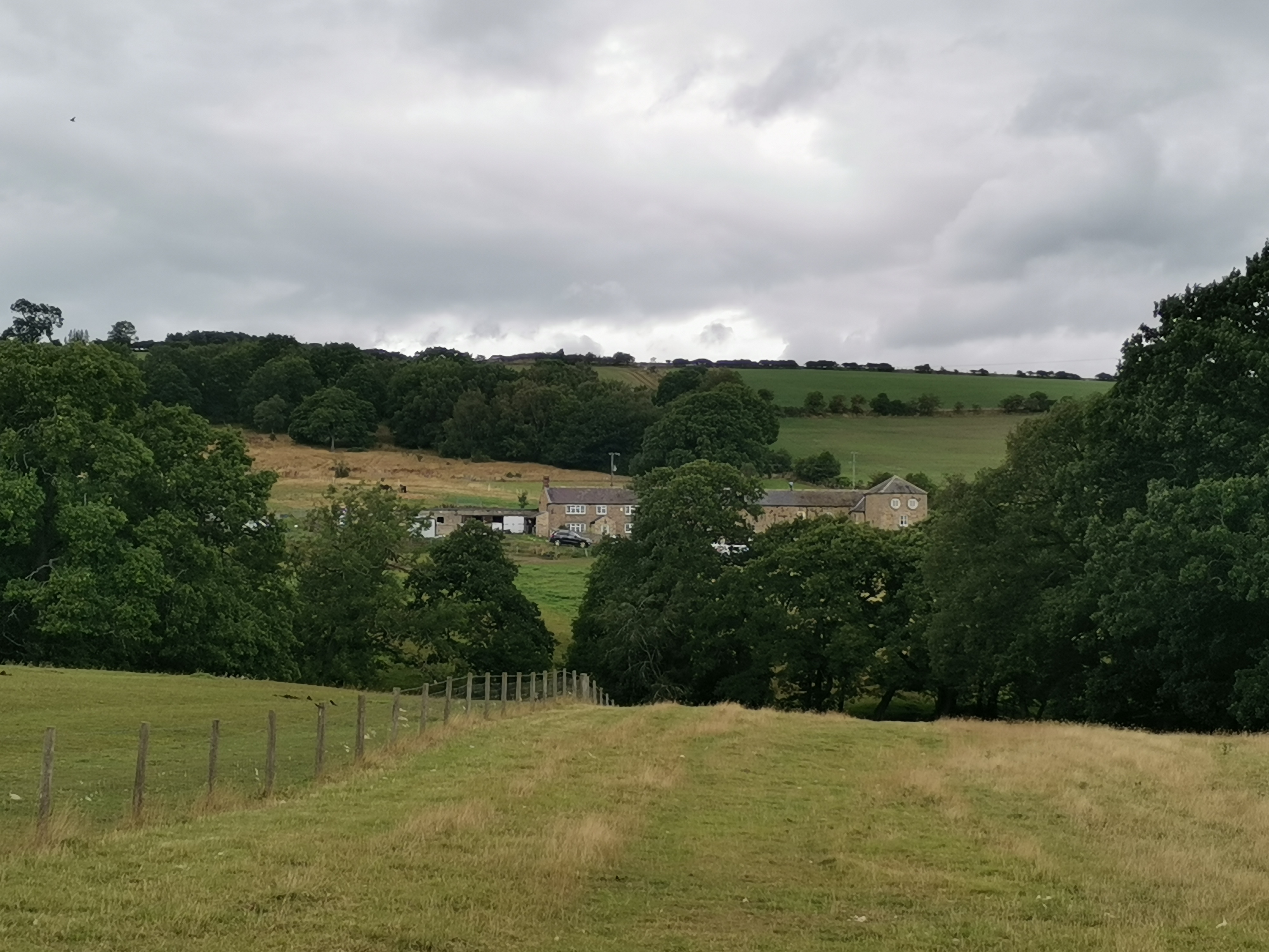
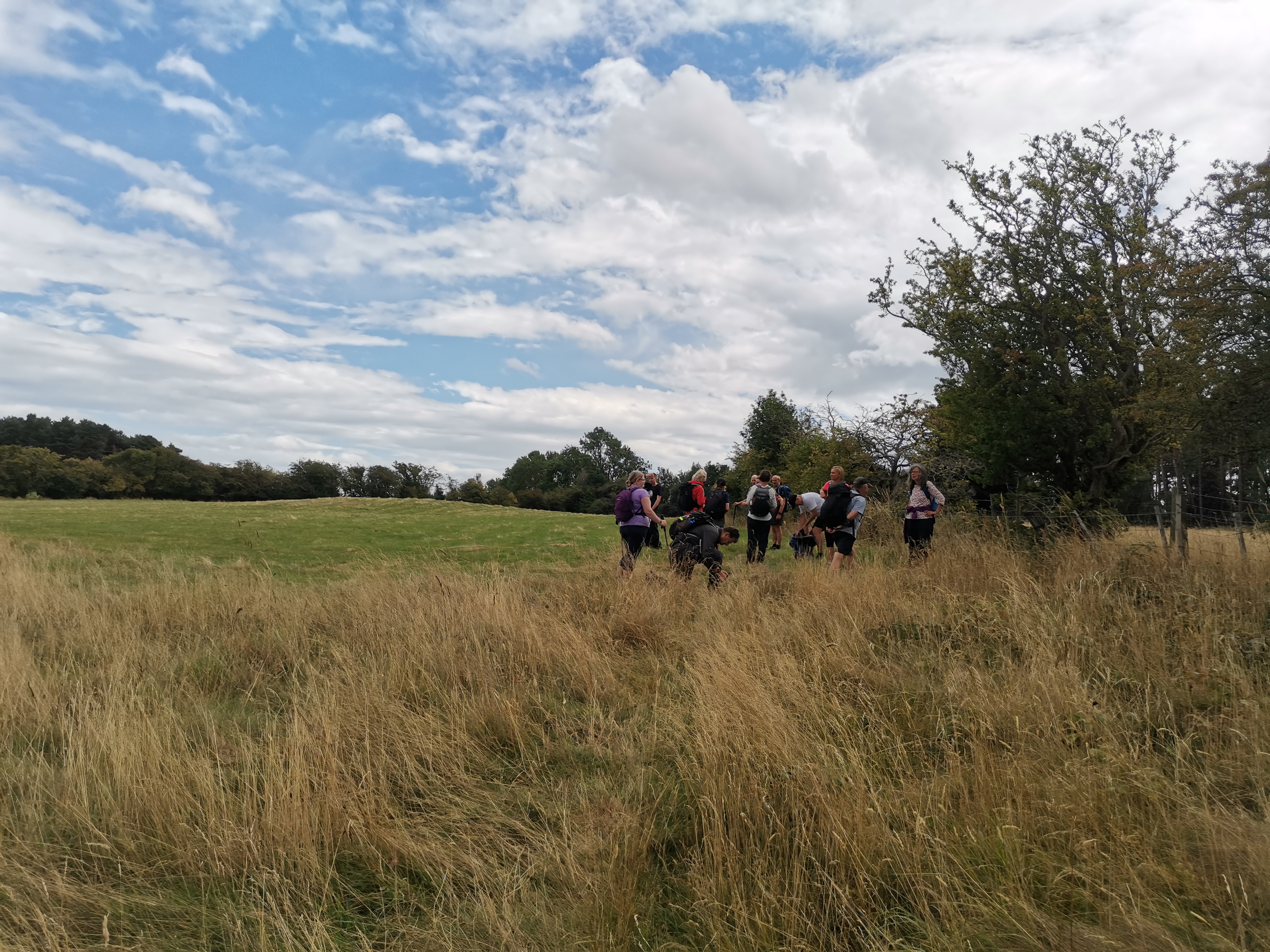
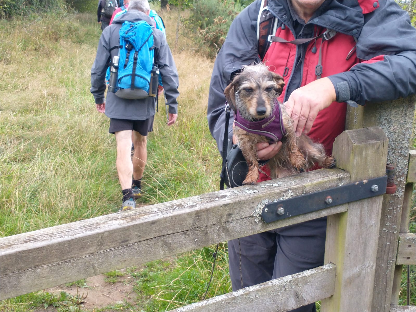
Gallery
Maps:
You can use the interactive controls to zoom in and out and to move around the map, or click on a marker for more info. (interactive map help)
© OpenStreetMap contributors under Open Database Licence.
Rights of way data from selected Local Authorities.
Large scale digital mapping is provided by John Thorn.


