
Mulled Wine in Muggleswick
Tue 27th Dec 2022
Walk Details:
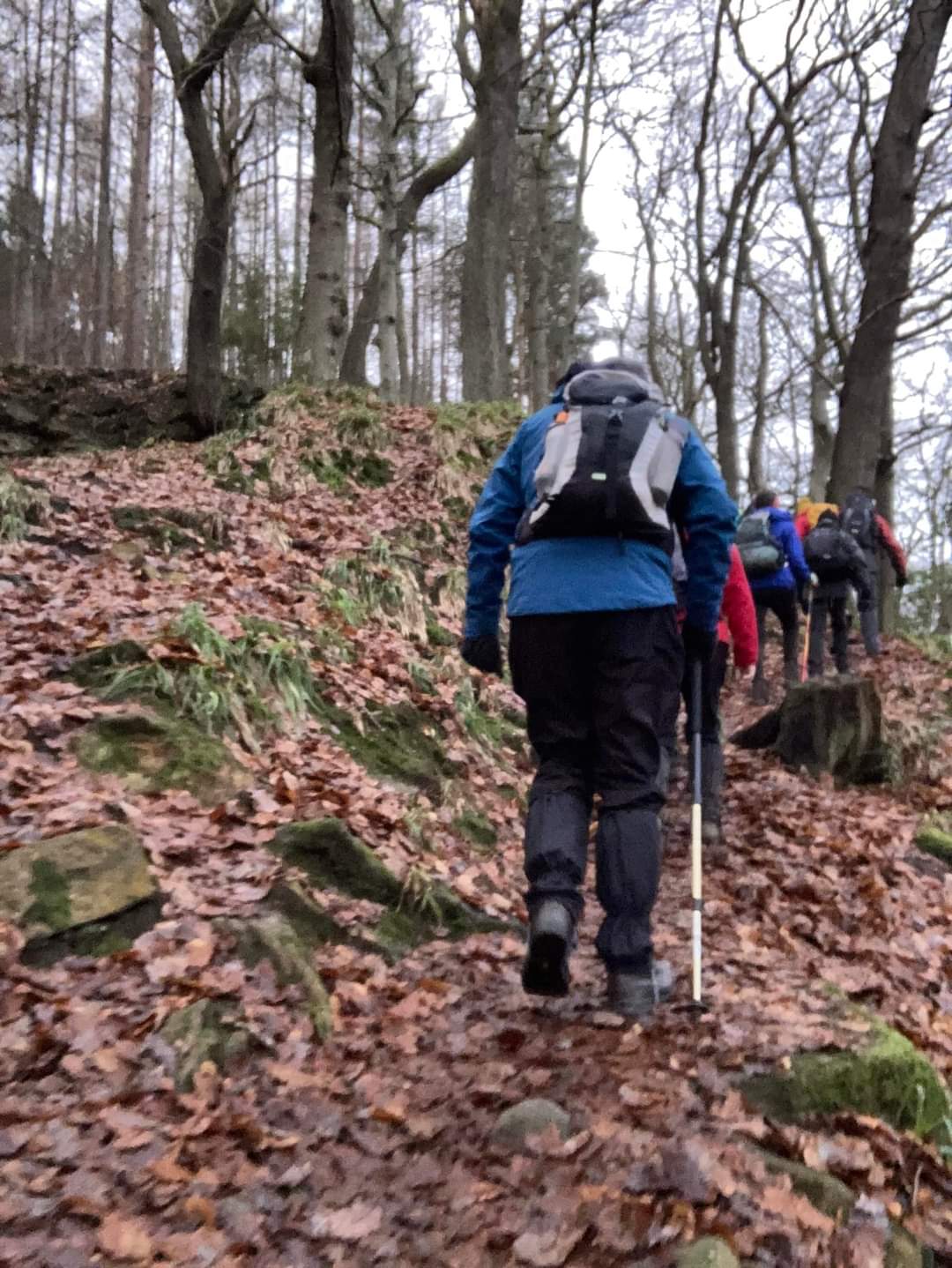
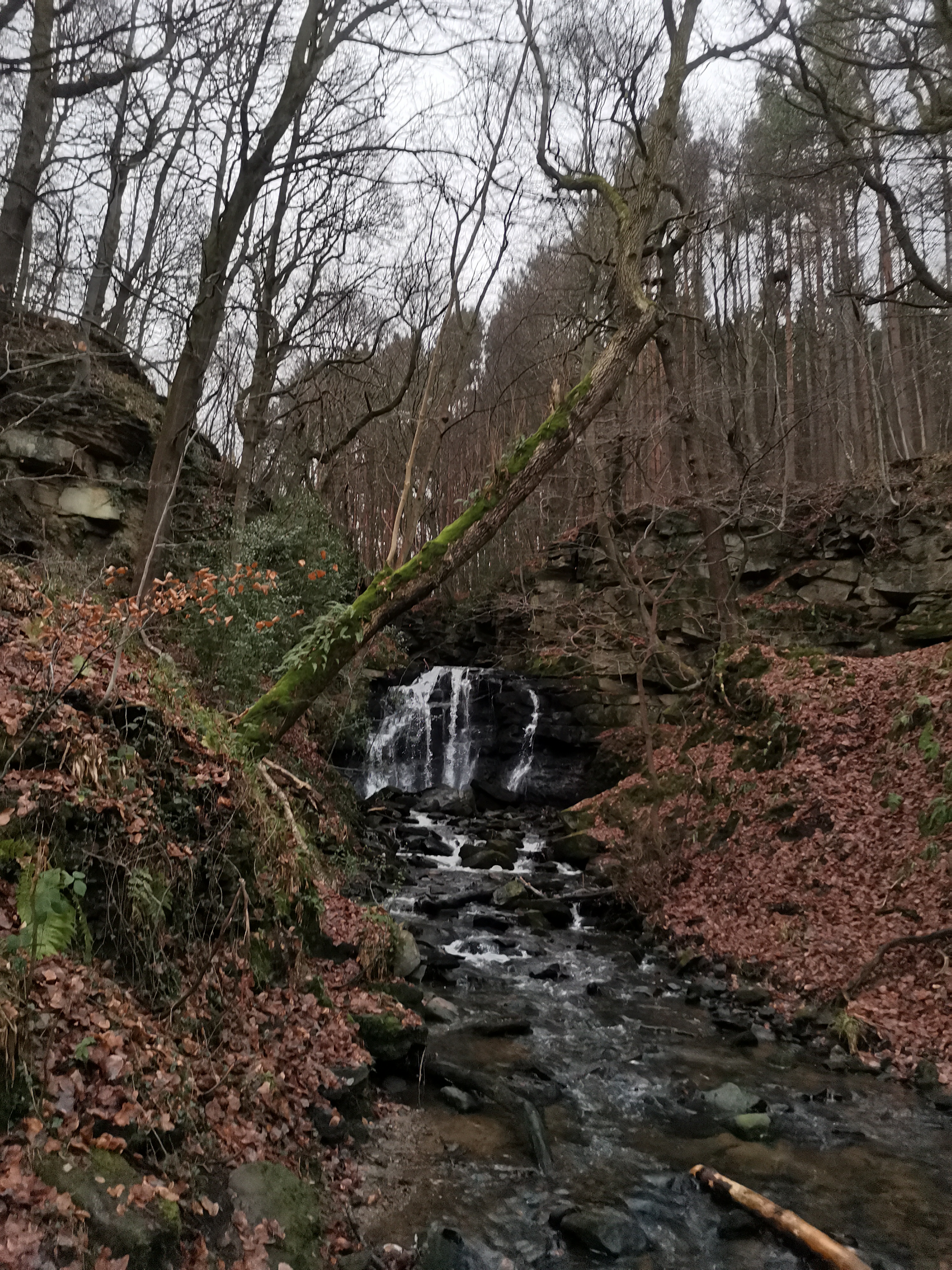
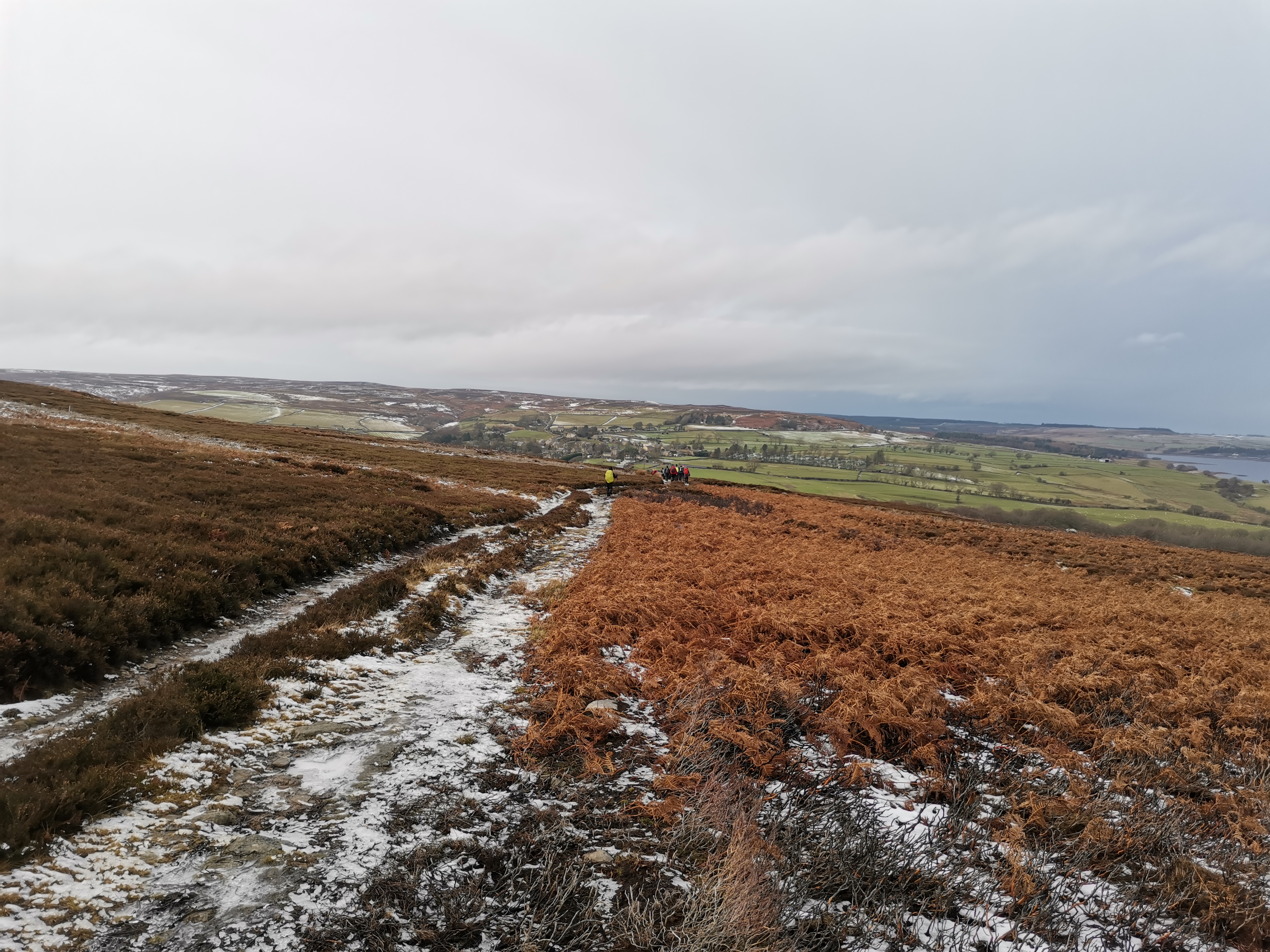
Circular walk from Allensford, head south west into Bog Wood. Follow tracks, minor roads to Muggleswick Park where the path is faint but head up and over to Edumundbyers where we will have our first break. Head out of Edmundbyers SW then east along to Lamb Shield Farm, before heading to Smiddie Shaw Reservoir where we will have lunch stop. After lunch return back to Allensford via footpaths through High Hosleyhope, Middle Hosleyhope, Warnely Hill and Bog Wood
Entry Details:
Walk Report
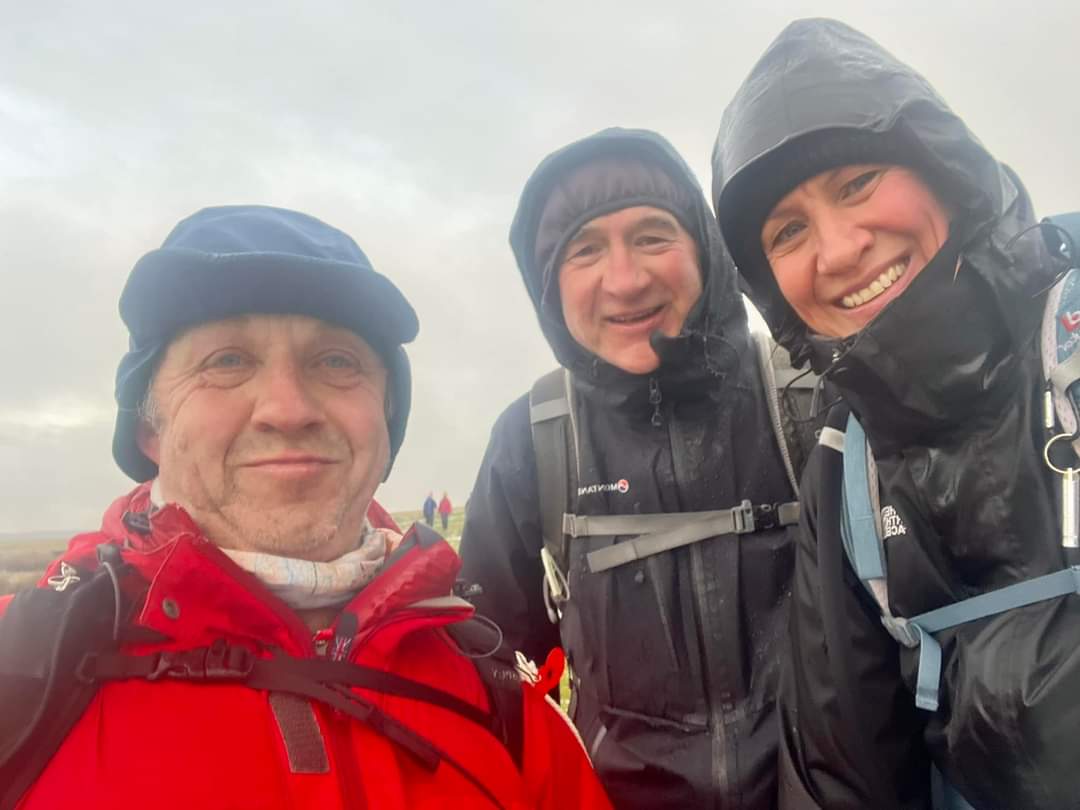
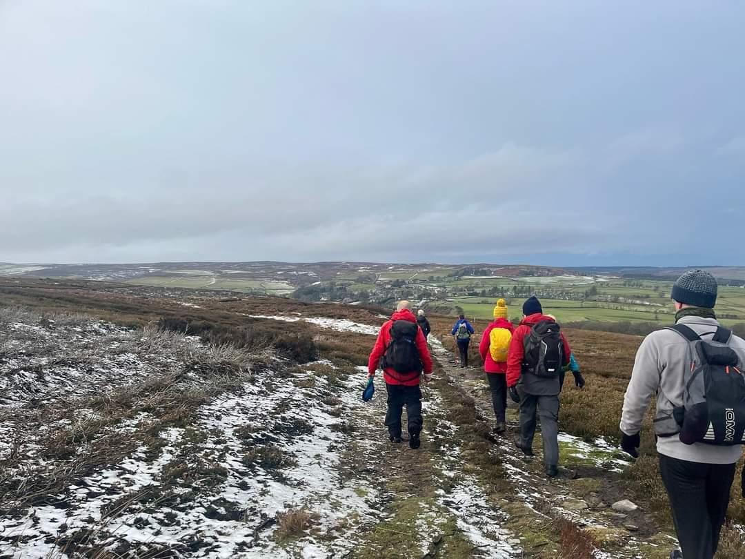
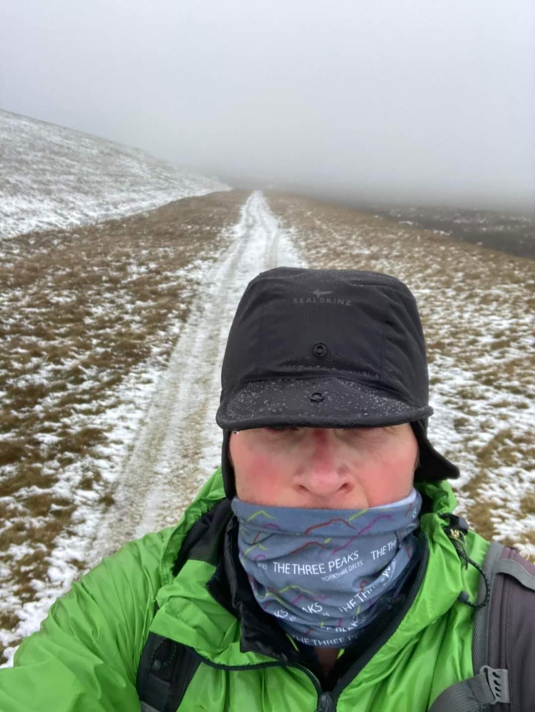
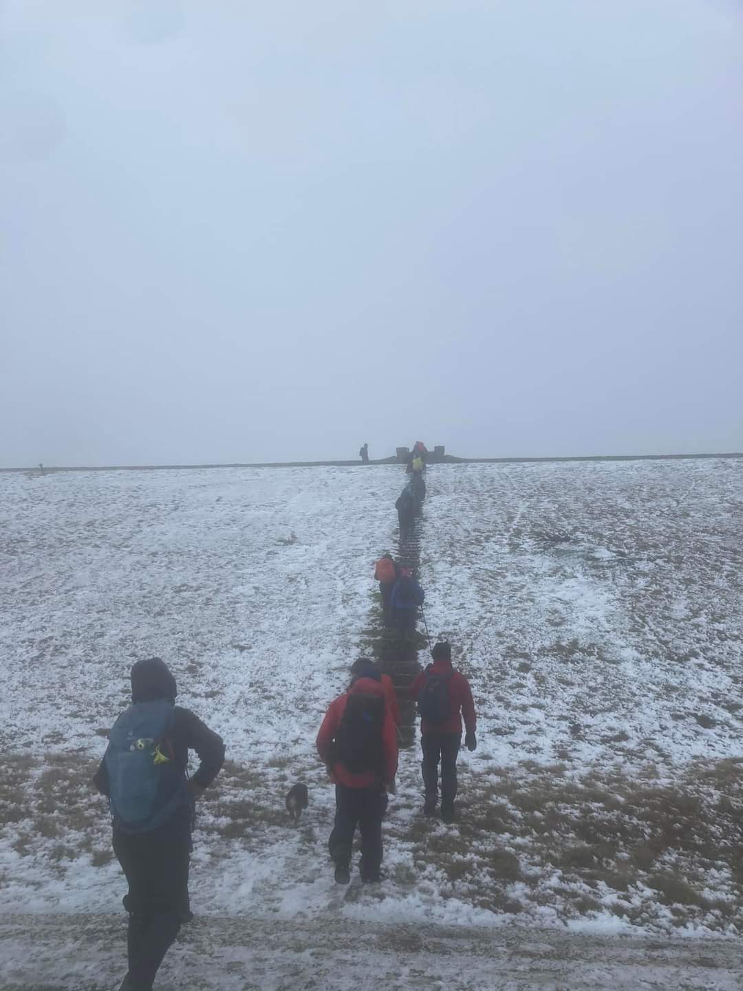
We had the wind snow lay as well Plus spells of rain when crossing the fell We expected a soak and it never came The weather gods where kind they played the game Just ignore the forecast if you've got the gear And wrap up well for some Christmas cheer There was good company for the dedicated few With sweet mince pies plus mulled wine too! A bouquet of roses windswept on the hillside This colourful reminder that someone has died So take a moment there's no promise of tomorrow We walked ancient highways respecting a families sorrow. Paul Ashman We weren't there we've missed a treat By the sounds of what got onto Ashy's seat All those miles over fells & bogs He goes and sits in waste off dogs But it's not his fault don't call him you lads & lasses He's 60 soon lets all chip in and buy him those bifocal glasses Brian FarrellOther Files
GPX
A GPX file of the above route may be downloaded by clicking the link below.
Note: GPX files of Group Walks are created by LDWA Group members, and may be downloaded only by other LDWA members. They should not be made available outside the LDWA, and are used at members' own risk.
Login to Download (Members Only)You can use the interactive controls to zoom in and out and to move around the map, or click on a path or a marker for more info. (interactive map help)
You can use the interactive controls to zoom in and out and to move around the map, or click on a path or a marker for more info. (interactive map help)
© OpenStreetMap contributors under Open Database Licence
Rights of way data from selected Local Authorities
Large scale digital mapping is provided by John Thorn
At high zoom levels the route is indicative only.
Gallery
Maps:
You can use the interactive controls to zoom in and out and to move around the map, or click on a marker for more info. (interactive map help)
© OpenStreetMap contributors under Open Database Licence.
Rights of way data from selected Local Authorities.
Large scale digital mapping is provided by John Thorn.


