
Hedgerow Philosophy
Sat 12th Nov 2022
Walk Details:
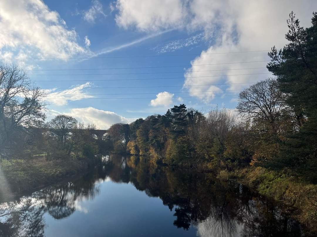
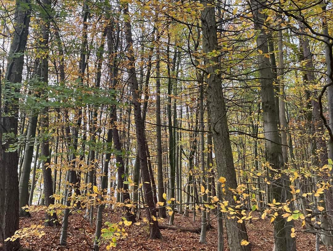
Circular 20 mile walk. Shincliffe, Durham Cathedral and City, Houghall Woods, Low Burnhall, Sunderland Bridge, Weardale Way to Holywell Hall, Croxdale Hall, High Croxdale, High Butterby Farm, Weardale Way via Shincliffe Woods back to Shincliffe.
So, a relatively flat walk, 410m of ascent, firstly a tour of the most scenic parts of Durham City and Cathedral, then a journey along the River Wear and the Weardale Way exploring the countryside to to South of Durham City. The walk will be done at the normal group social walk pace of 2.5 mph including stops. Plenty of scope to enjoy the sights along the way, and to put the world to rights with your fellow walkers
Entry Details:
Walk Report
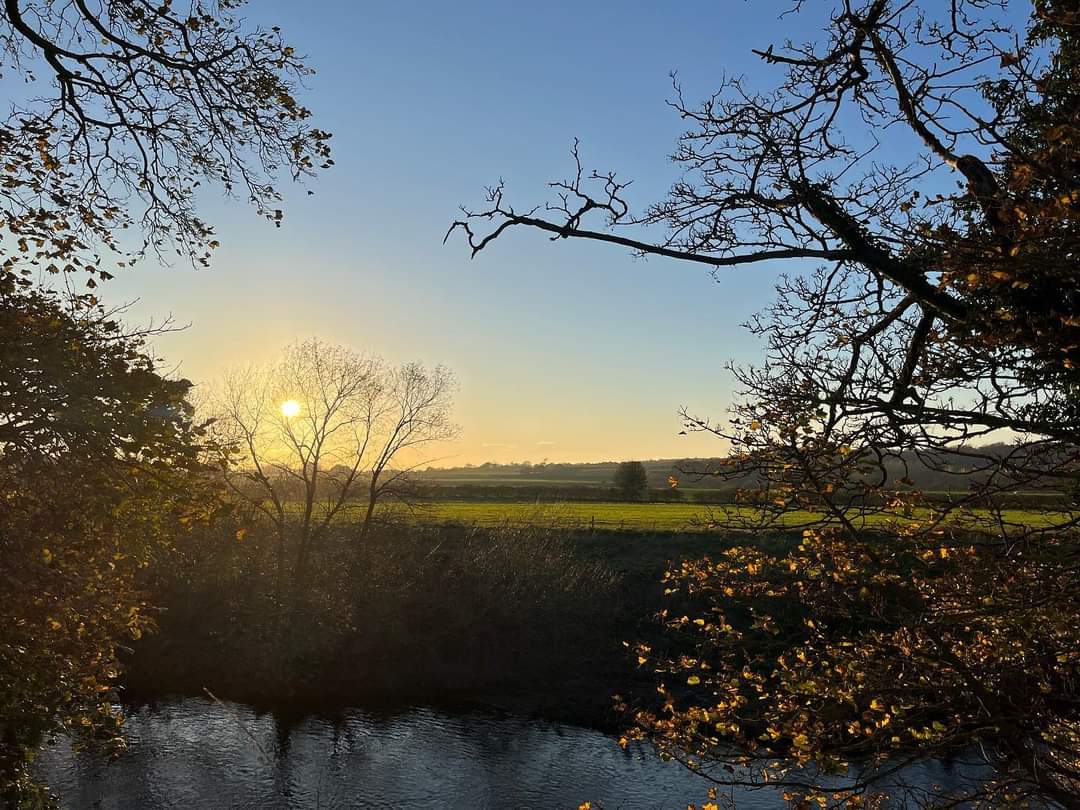
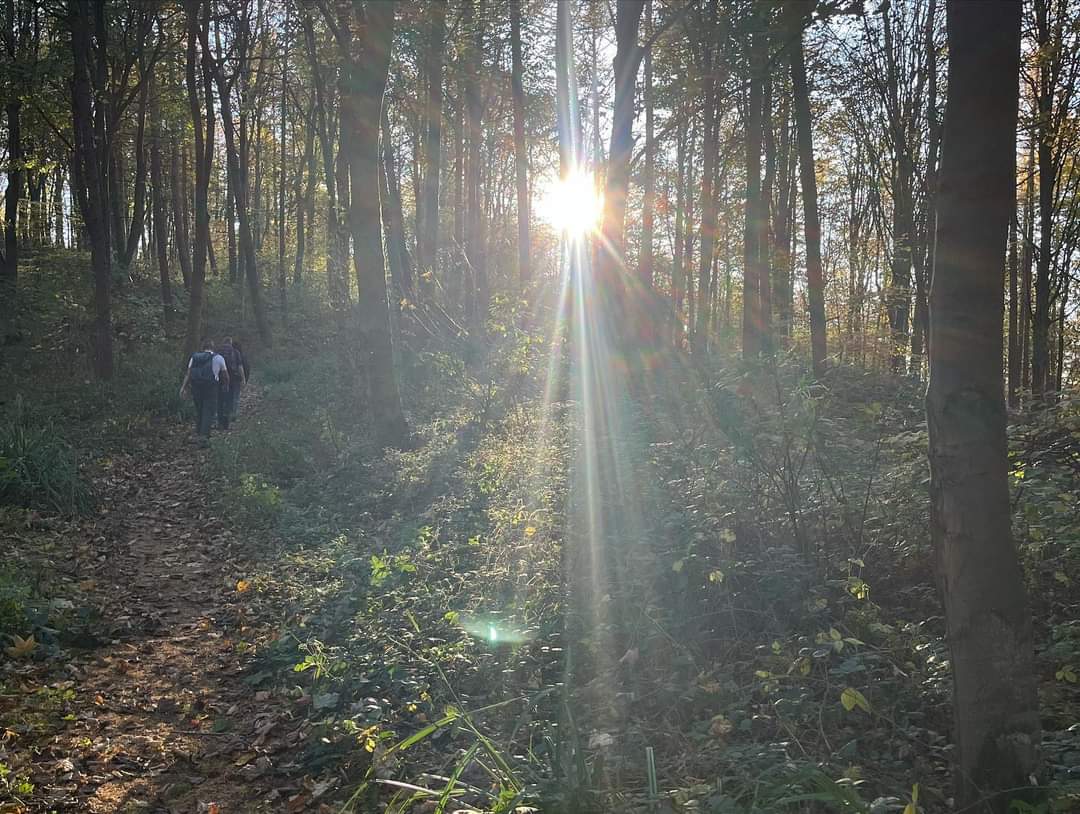
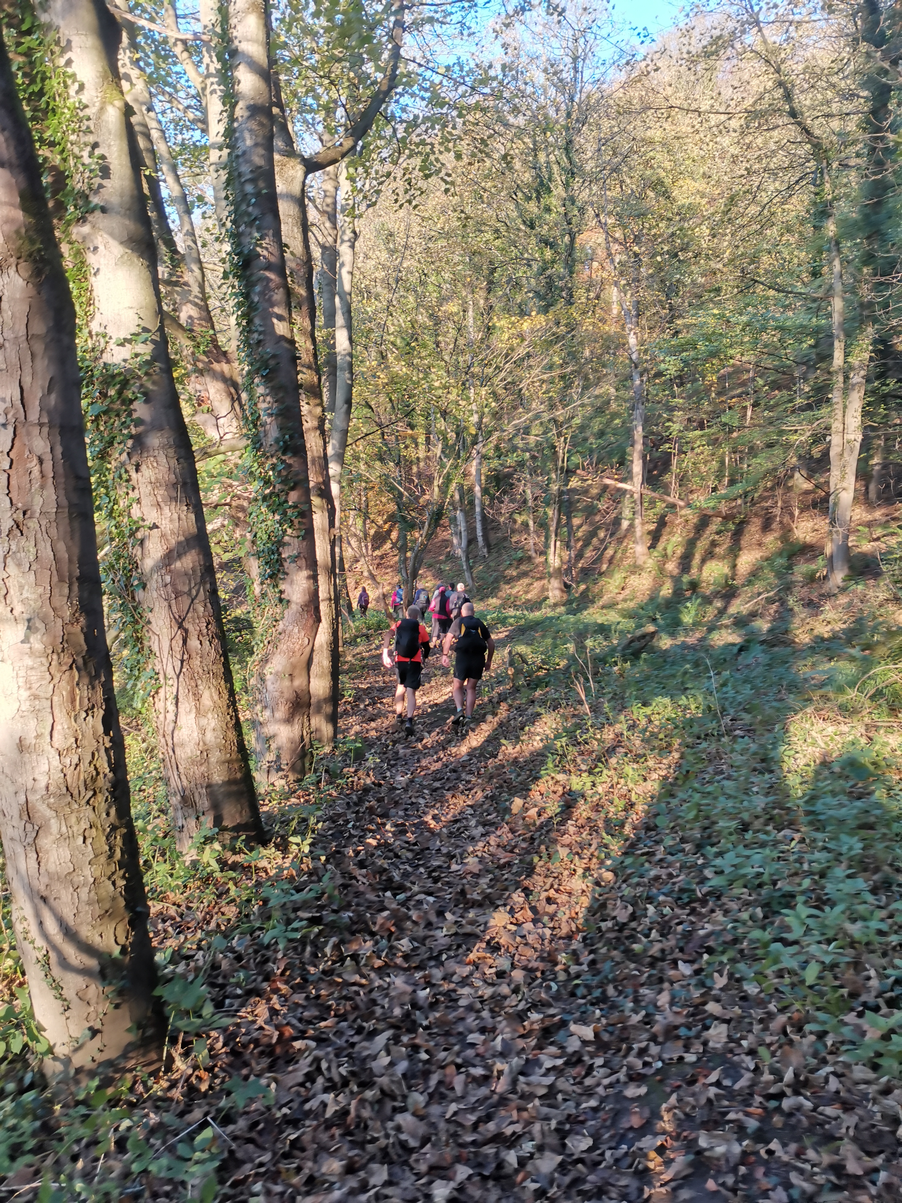
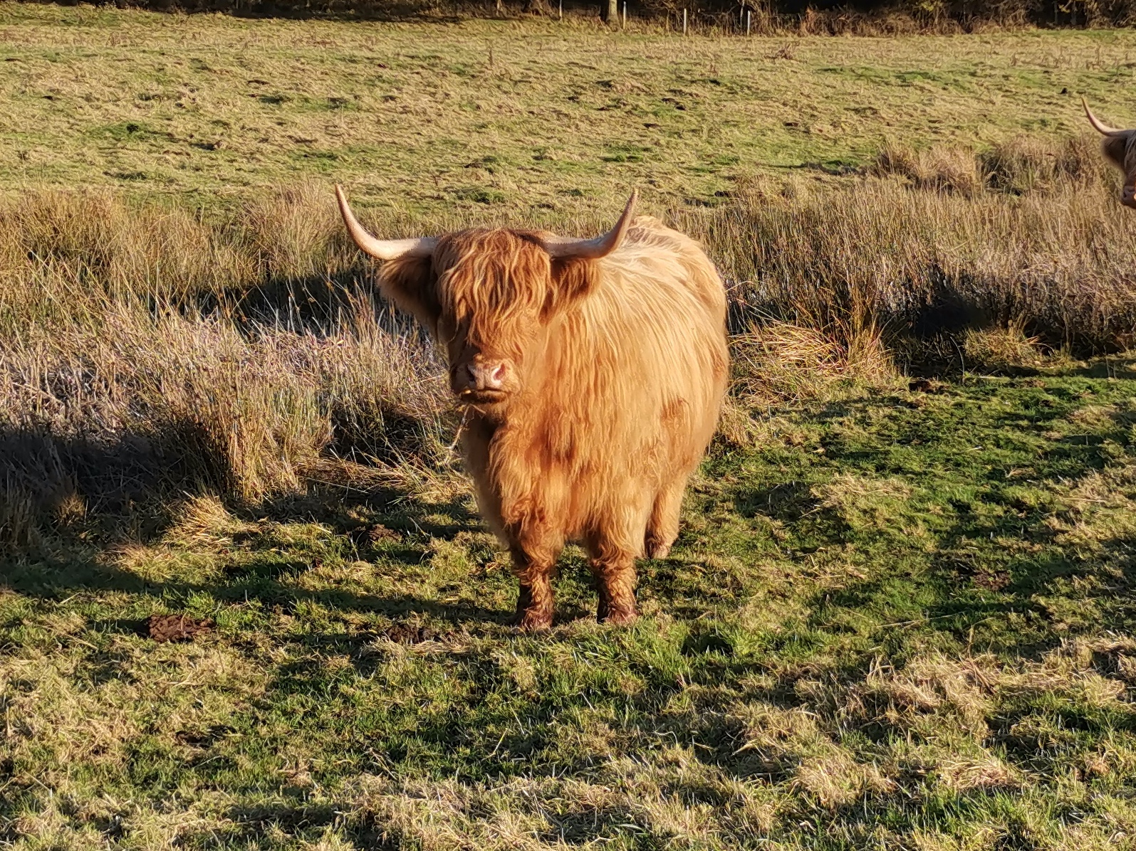
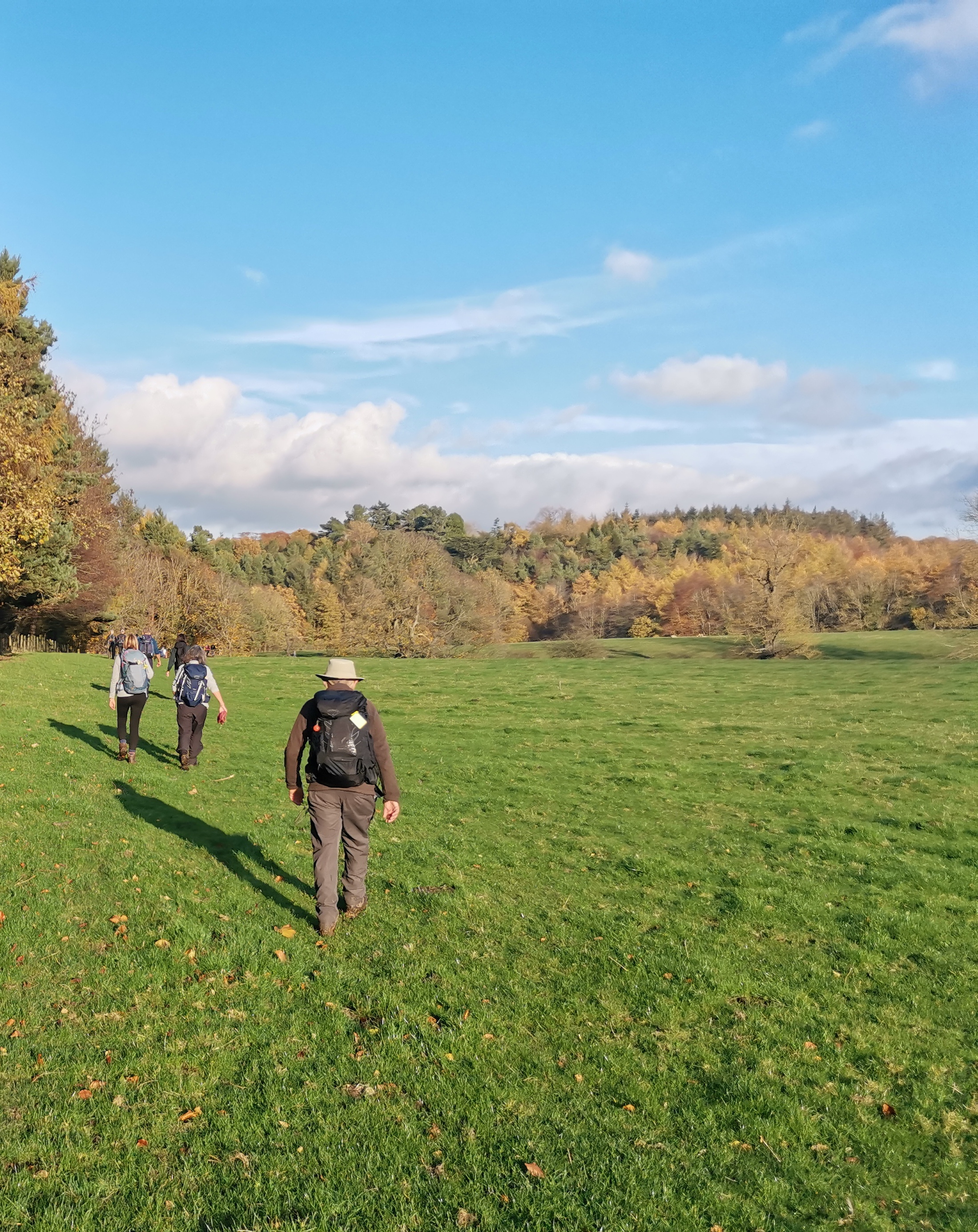
Excellent day yesterday weather wise, to lead a 20 mile walk for Northumbria LDWA around Durham and surrounding countryside. 23 turned out and had a good day..A bar of chocolate as the prize kept them in line. Nice pint at the Rose Tree in Shincliffe when we finished. ( Paul Ashman)Other Files
GPX
A GPX file of the above route may be downloaded by clicking the link below.
Note: GPX files of Group Walks are created by LDWA Group members, and may be downloaded only by other LDWA members. They should not be made available outside the LDWA, and are used at members' own risk.
Login to Download (Members Only)You can use the interactive controls to zoom in and out and to move around the map, or click on a path or a marker for more info. (interactive map help)
You can use the interactive controls to zoom in and out and to move around the map, or click on a path or a marker for more info. (interactive map help)
© OpenStreetMap contributors under Open Database Licence
Rights of way data from selected Local Authorities
Large scale digital mapping is provided by John Thorn
At high zoom levels the route is indicative only.
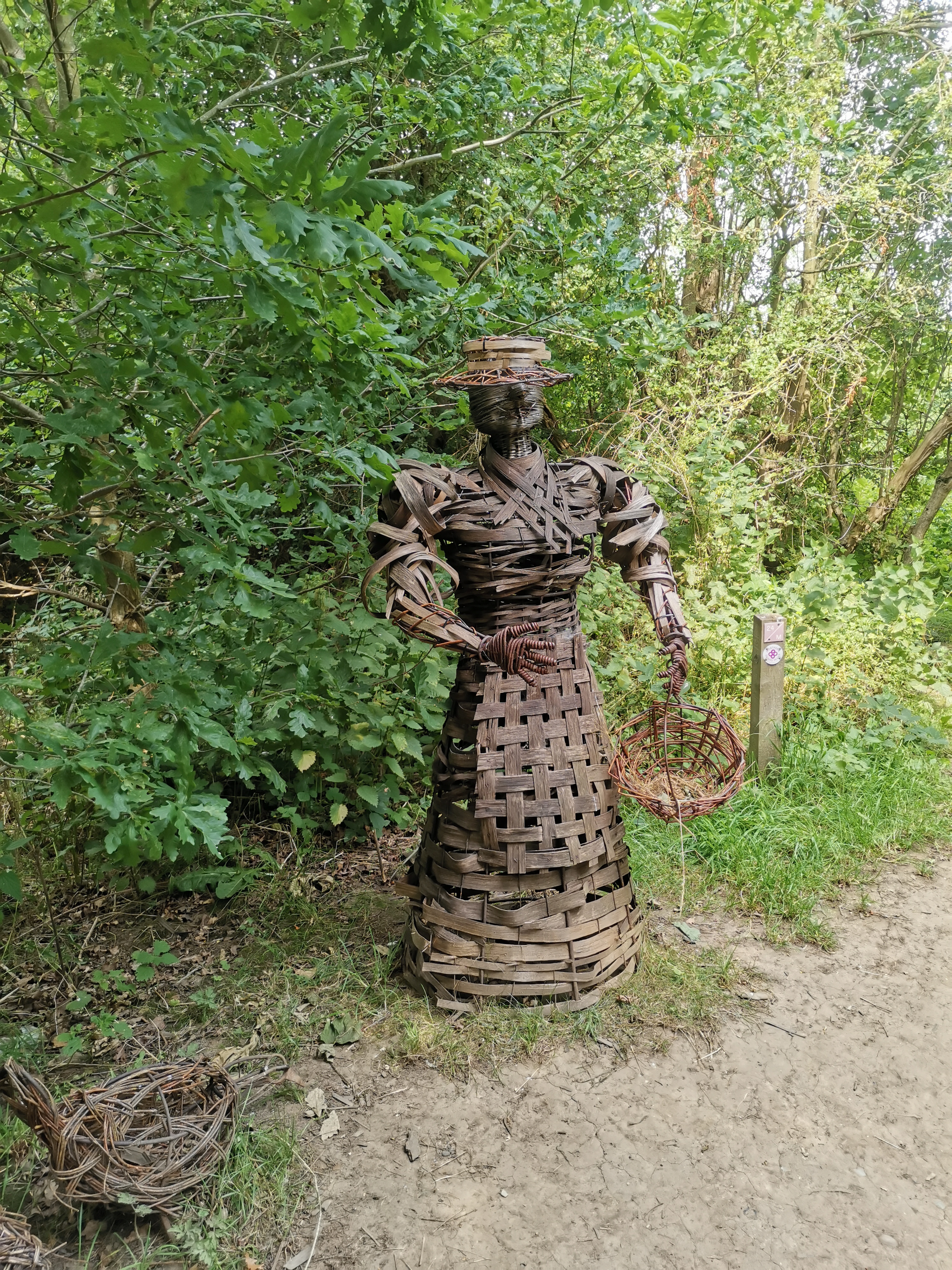
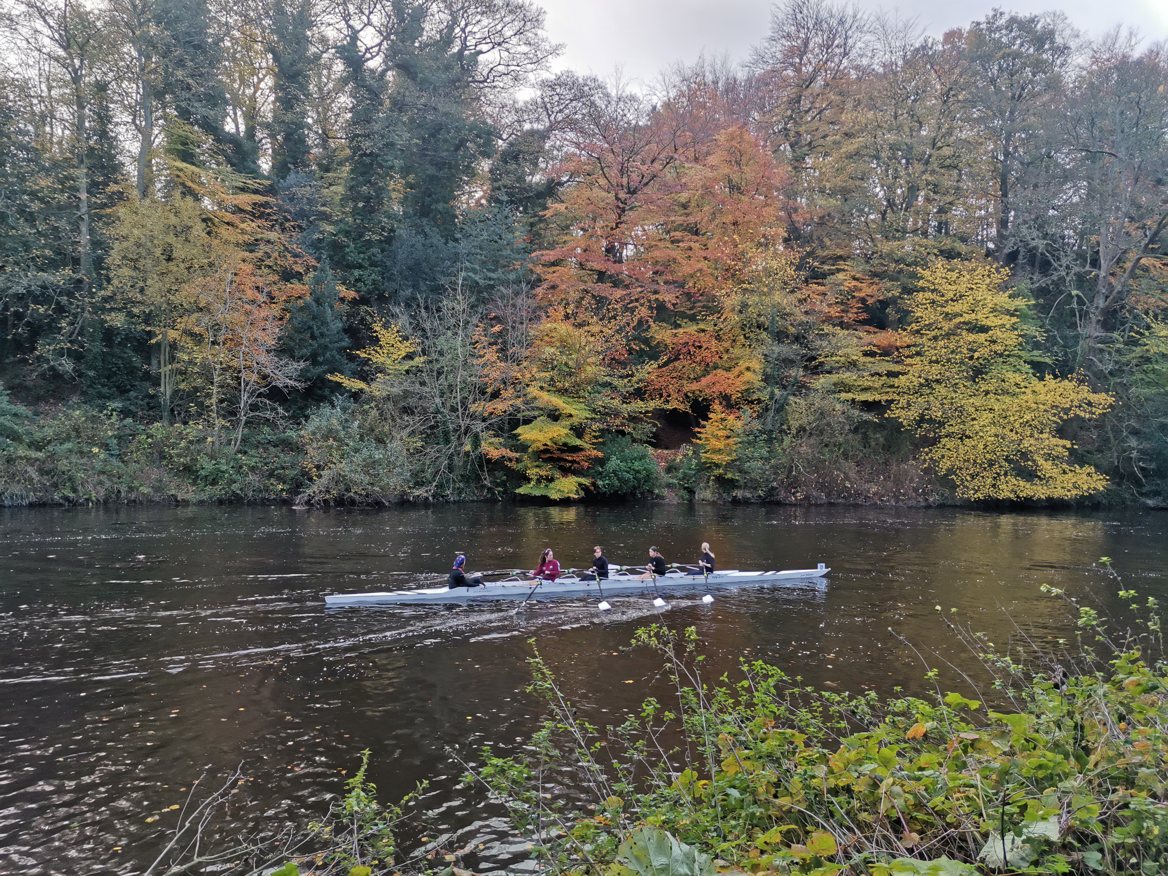
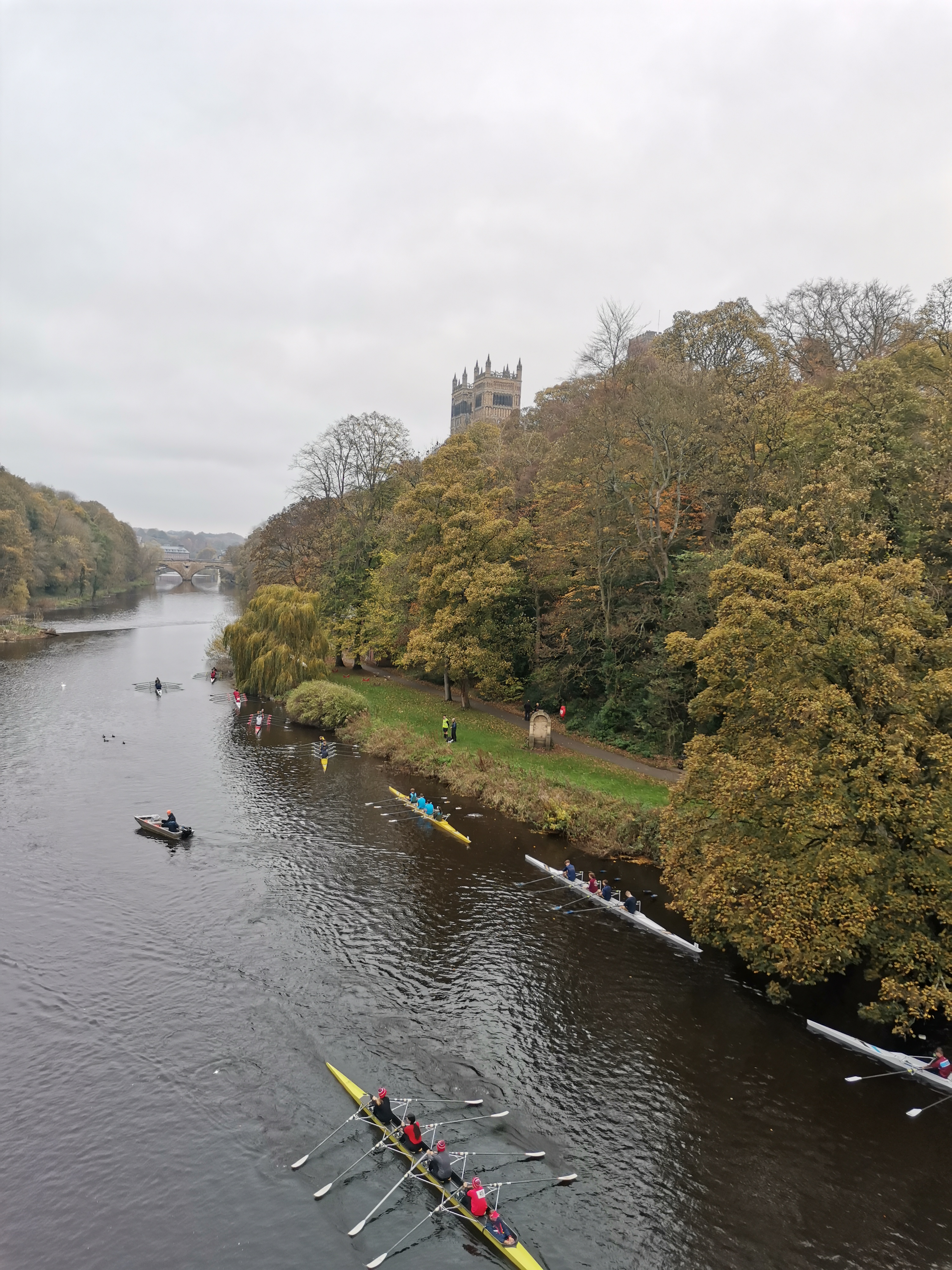
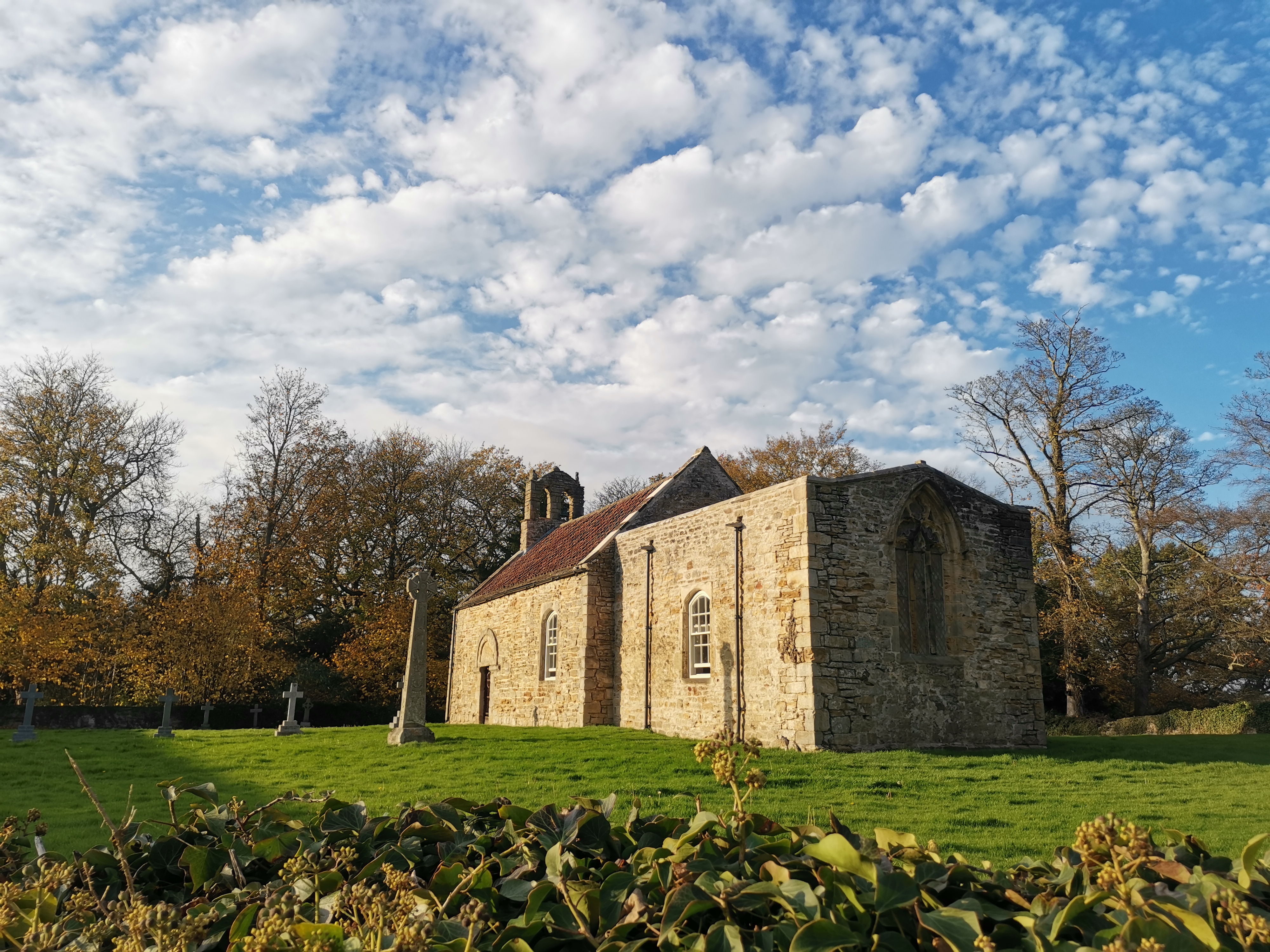
Gallery
Maps:
You can use the interactive controls to zoom in and out and to move around the map, or click on a marker for more info. (interactive map help)
© OpenStreetMap contributors under Open Database Licence.
Rights of way data from selected Local Authorities.
Large scale digital mapping is provided by John Thorn.


