
Keswick Weekend, Day 1, Newlands Round
Sat 17th Sep 2022
Walk Details:
Undecided as yet whether to start walking from the Moot Hall or to catch the launch to Hawes End. Will clarify nearer the time. Cat Bells, Maiden Moor, High Spy, Dale Head, Hindscarth. A typical Lakeland horseshoe walk involving the beautiful Newlands Valley
Entry Details:
Walk Report
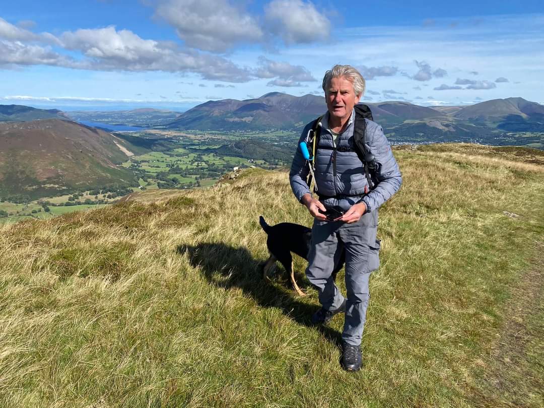
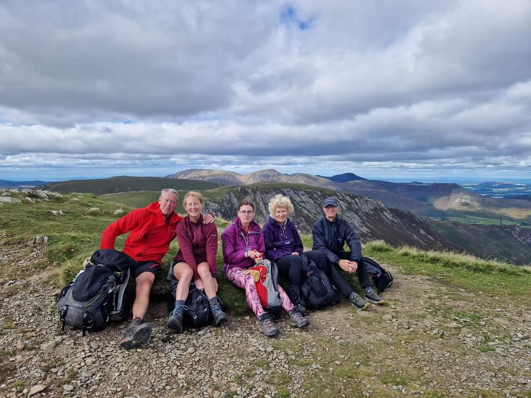
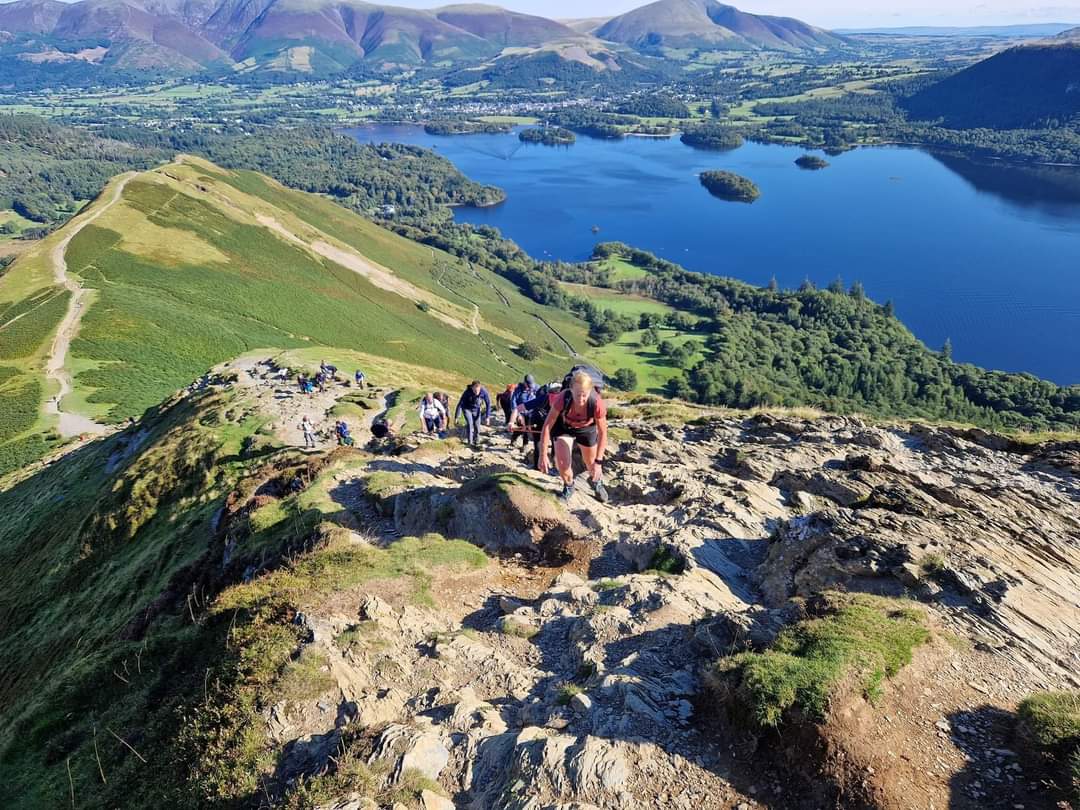
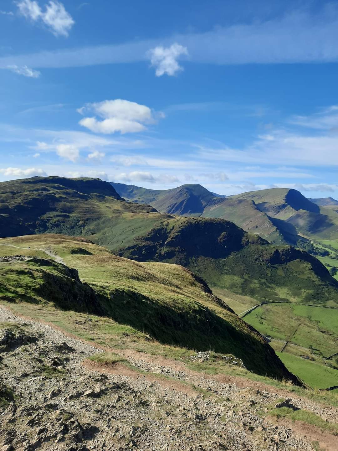
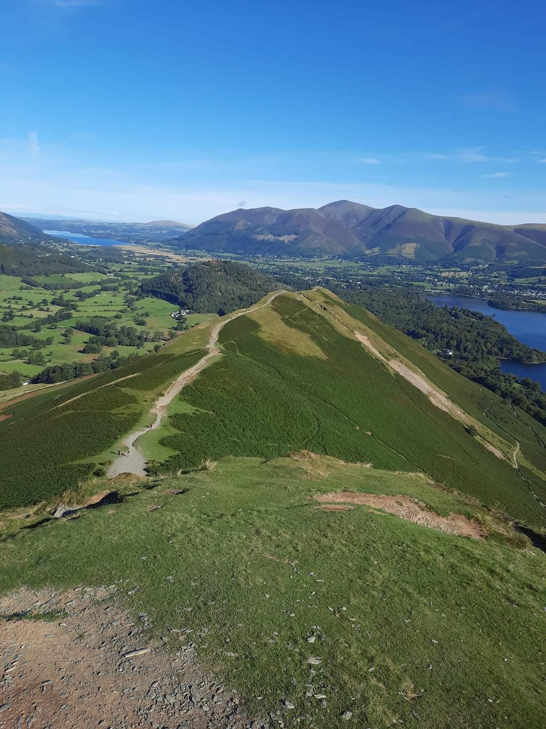
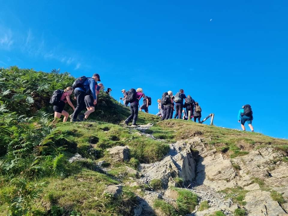
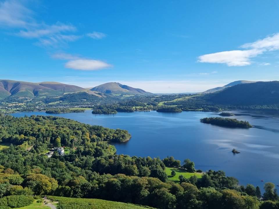
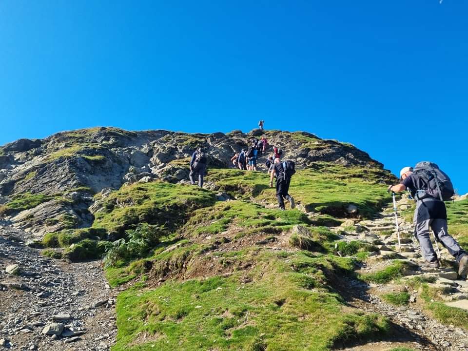
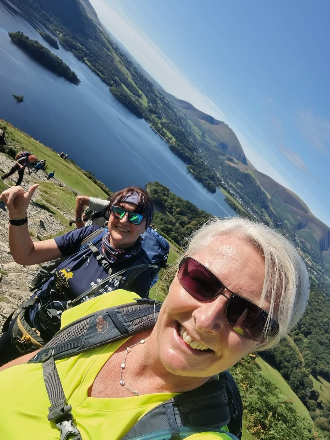
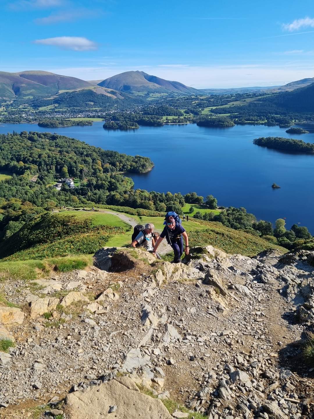
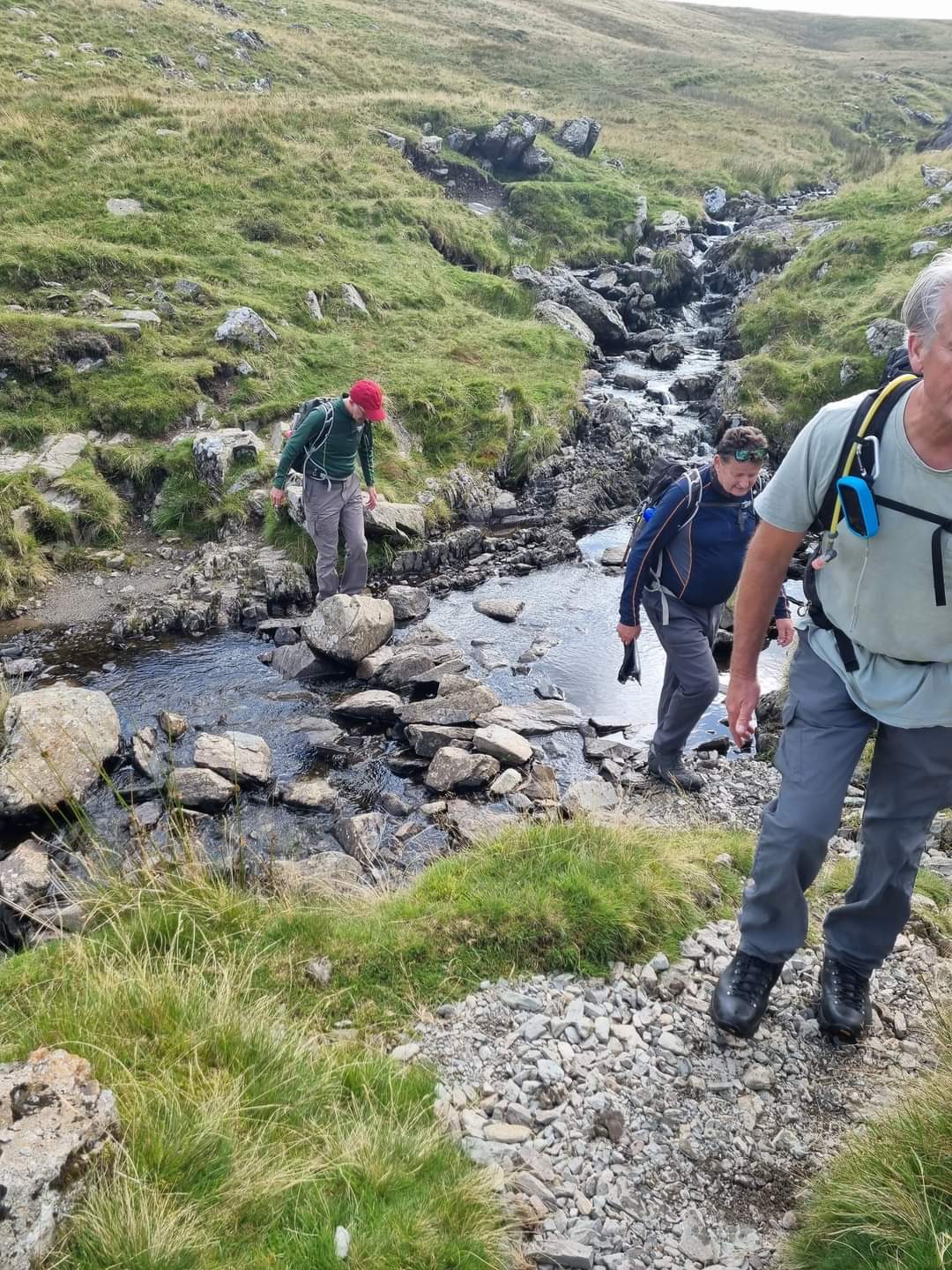
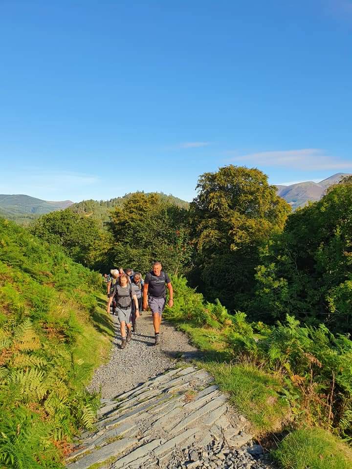
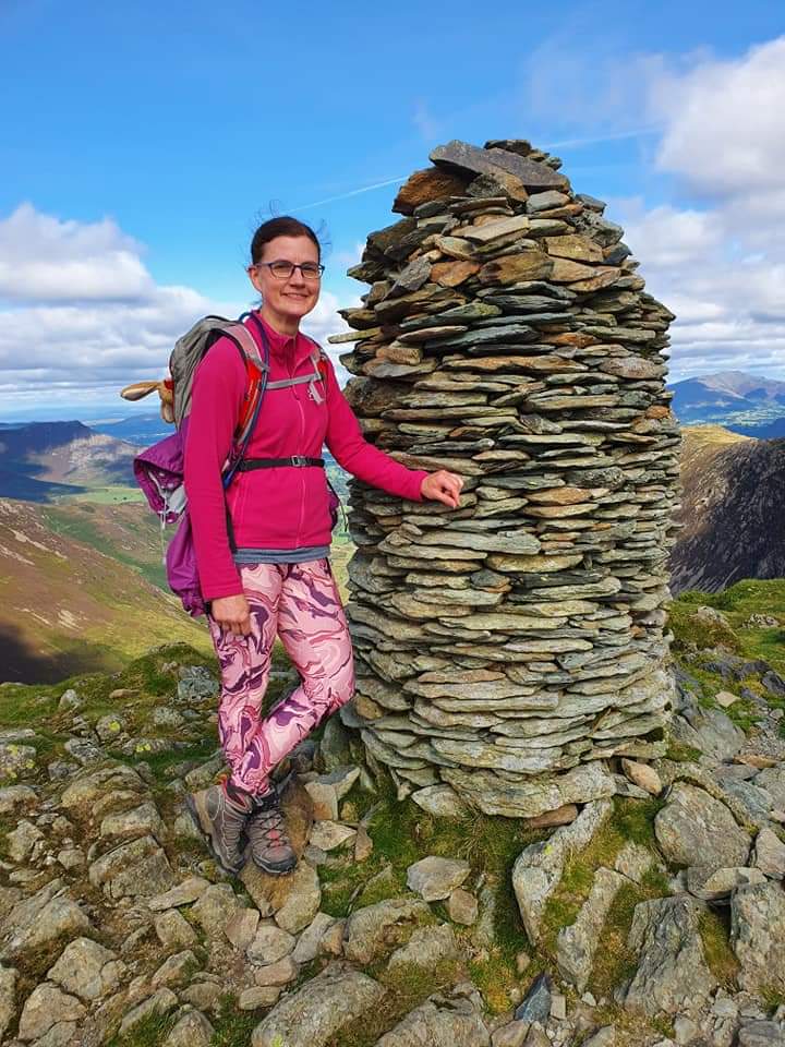
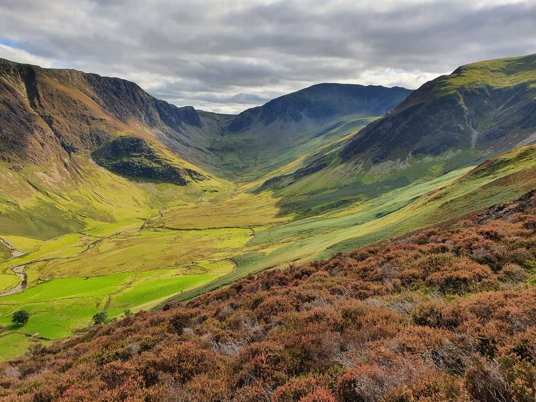
We gathered at the Moot Hall for Saturday's walk heading out to the slopes of Cat Bells - such a delightful name for a magnificent walk. The last time I was here was almost exactly 12 years ago when Ian and I took the launch across to Hawes End and walked the length of Cat Bells before dropping down to the path round Derwent Water. On this occasion we were doing the horseshoe walk known as The Newlands Round, 17 miles. The weather was perfect and there's nothing like clambering up some crags to lift the spirits and put a new perspective on life. The summit of Cat Bells affords magnificent views across Derwent Water with Bassenthwaite and the Northern Fells of Skiddaw and Blencathra to the north east. The walk continued over Maiden Moor to High Spy. We dropped down to Dale Head Tarn from where we began the long slow climb up to Dale Head summit. I noticed some ant like figures making their steady way up the sheer slope to our right and made the silly comment 'We're not going up there surely??' Of course we were, and I braced myself! In fact there was considerably more to the climb than was visible at that point but, steady away, one foot in front of the other and one step at a time the summit was achieved and it hadn't been that arduous after all. The views north along the Newlands Valley and across to other peaks right and left were truly amazing and well worth the effort of anyone. From Dale Head we continued along Hindscarth Edge looking down to Honister Pass on our left with Fleetwith Pike and, behind this, Haystacks, both of which I completed in a solo walk in 2015. More climbing took us to the summit of Hindscarth and, thereafter it was the long, long steady descent with much clambering and awkward movements over rocks. I enjoyed it, picking my way round and over, though it would have been a very different story on a wet day - more a bottom shuffle. Down in the Newlands Valley it was hard to believe we'd been to the tops of the surrounding peaks. A steady walk took us back to Keswick and a gathering at The Pack Horse Inn for, as always, a welcome Guinness. (Beryl Massey)Other Files
GPX
A GPX file of the above route may be downloaded by clicking the link below.
Note: GPX files of Group Walks are created by LDWA Group members, and may be downloaded only by other LDWA members. They should not be made available outside the LDWA, and are used at members' own risk.
Login to Download (Members Only)You can use the interactive controls to zoom in and out and to move around the map, or click on a path or a marker for more info. (interactive map help)
You can use the interactive controls to zoom in and out and to move around the map, or click on a path or a marker for more info. (interactive map help)
© OpenStreetMap contributors under Open Database Licence
Rights of way data from selected Local Authorities
Large scale digital mapping is provided by John Thorn
At high zoom levels the route is indicative only.
Gallery

Maps:
You can use the interactive controls to zoom in and out and to move around the map, or click on a marker for more info. (interactive map help)
© OpenStreetMap contributors under Open Database Licence.
Rights of way data from selected Local Authorities.
Large scale digital mapping is provided by John Thorn.


