
Cheviot Adventure
Sat 13th Aug 2022
Walk Details:
Circular Walk. Quite a hard walk involving 4021ft of ascent and some awkward terrain. Takes in The Schill and the Cheviot. Map OL 16 The Cheviot Hills
Entry Details:
Walk Report
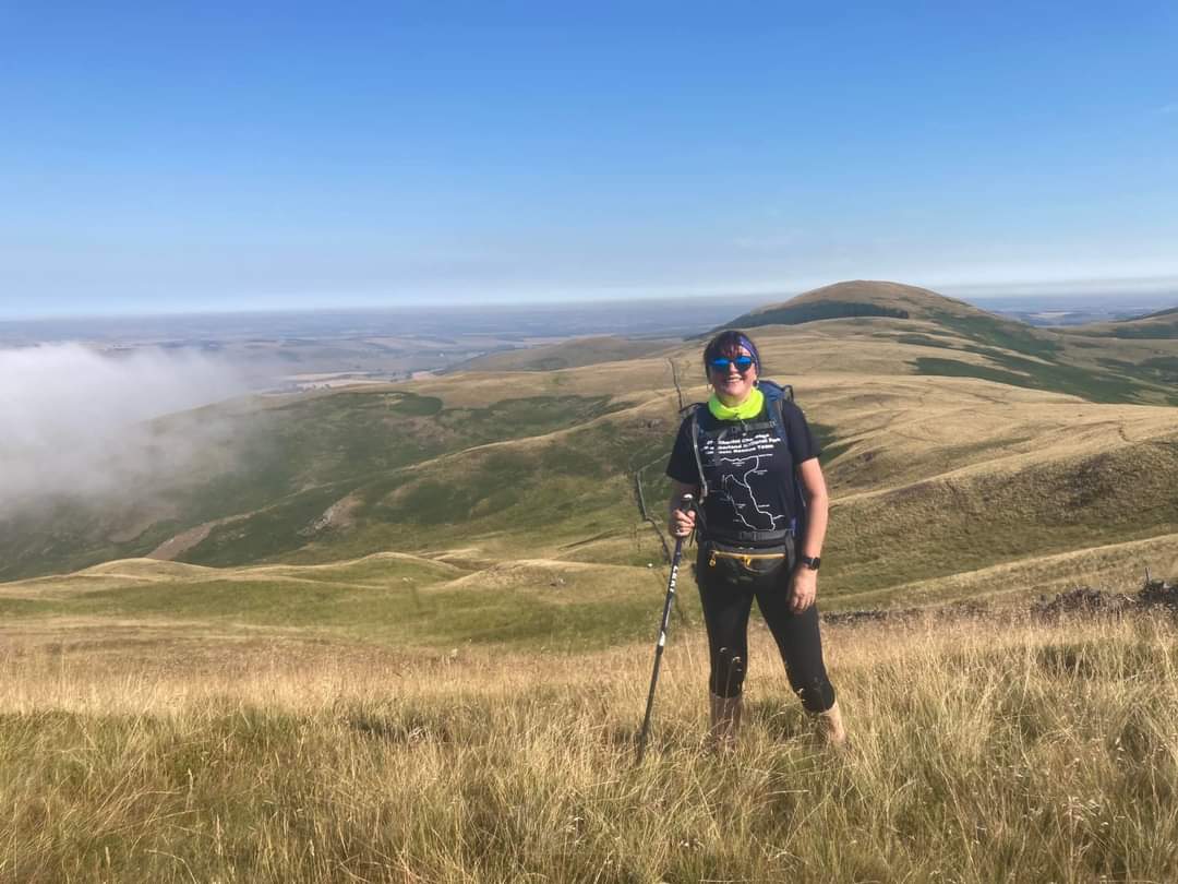
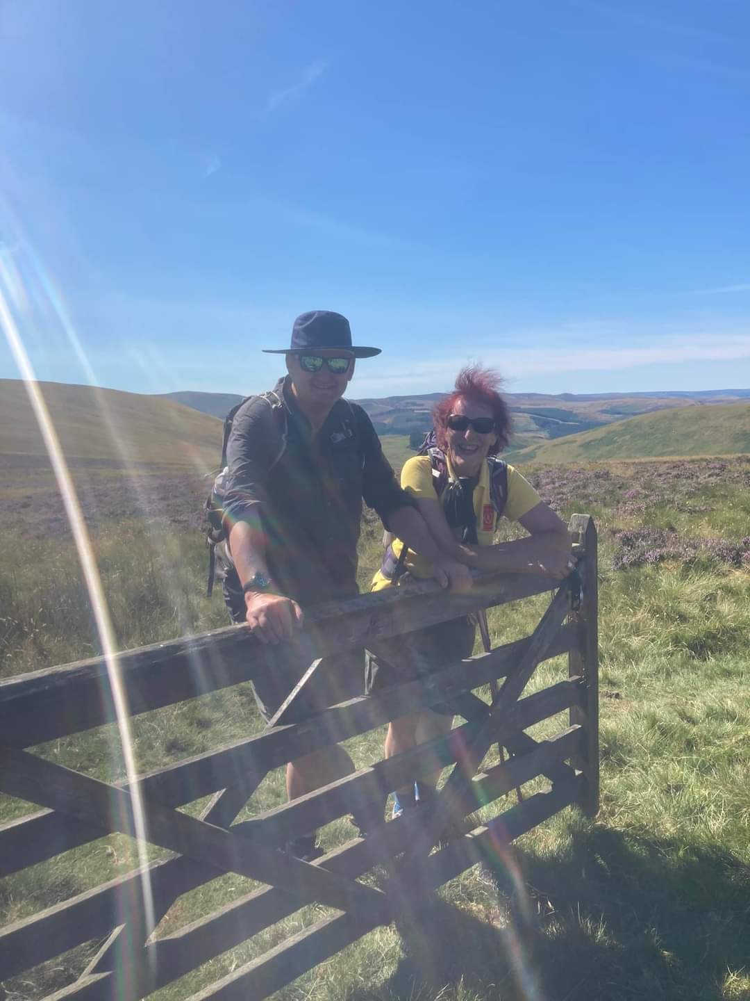
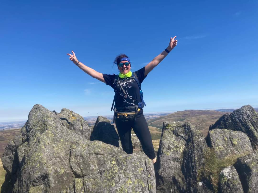
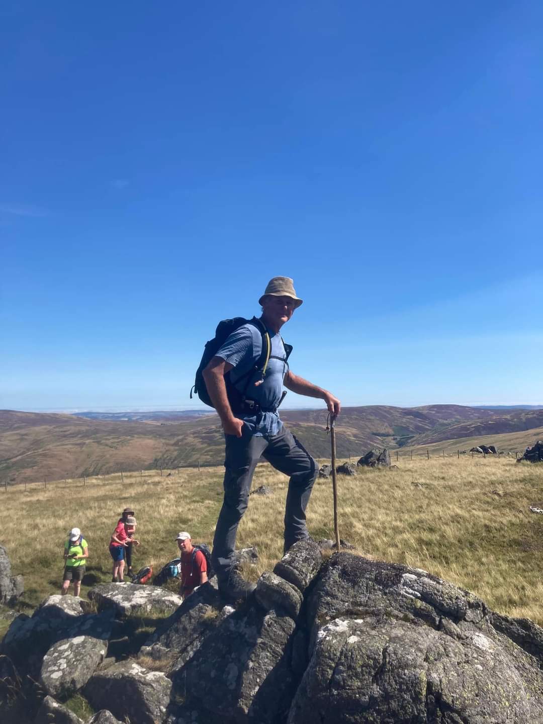
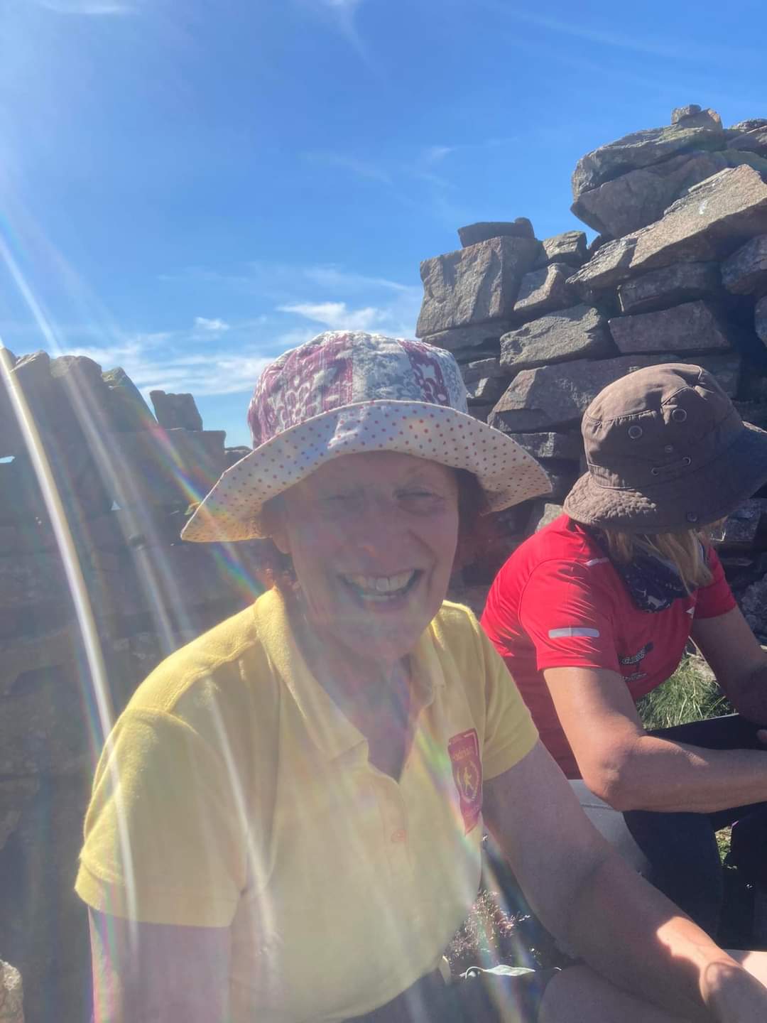
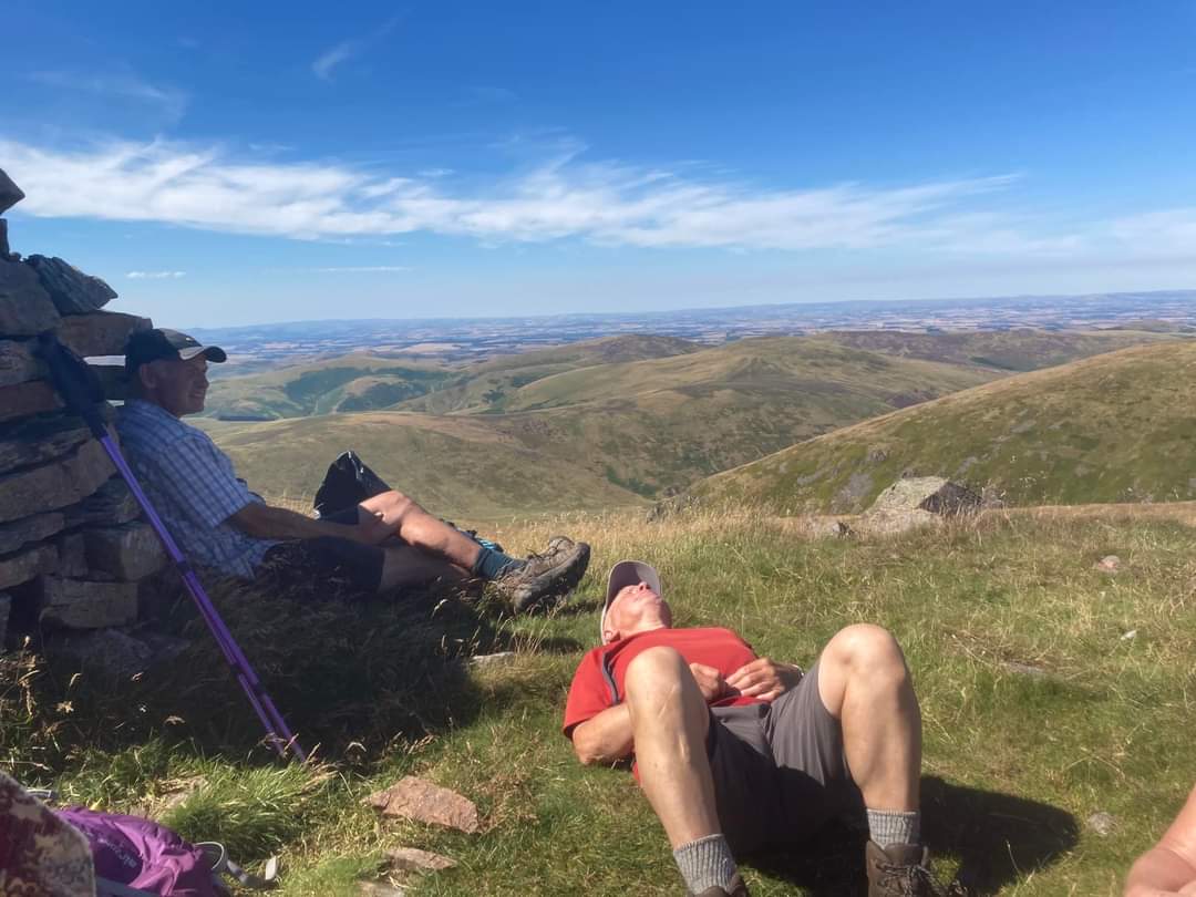
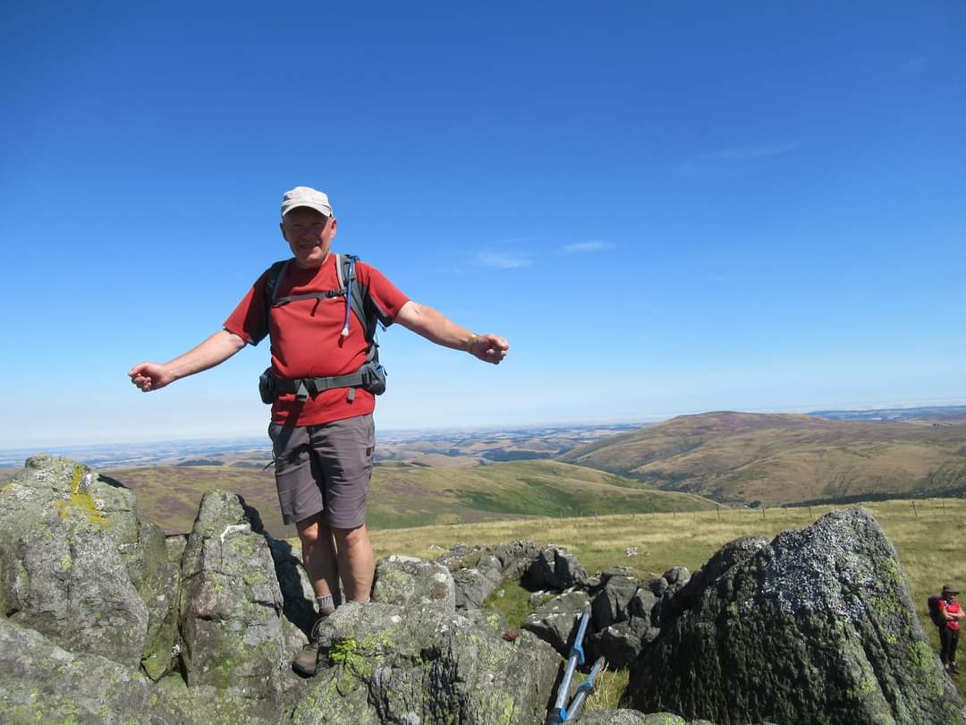
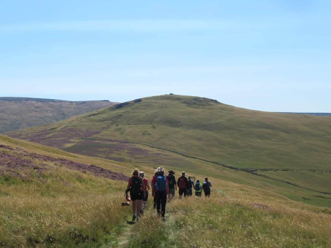
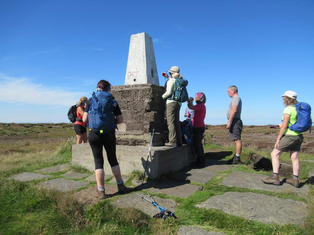
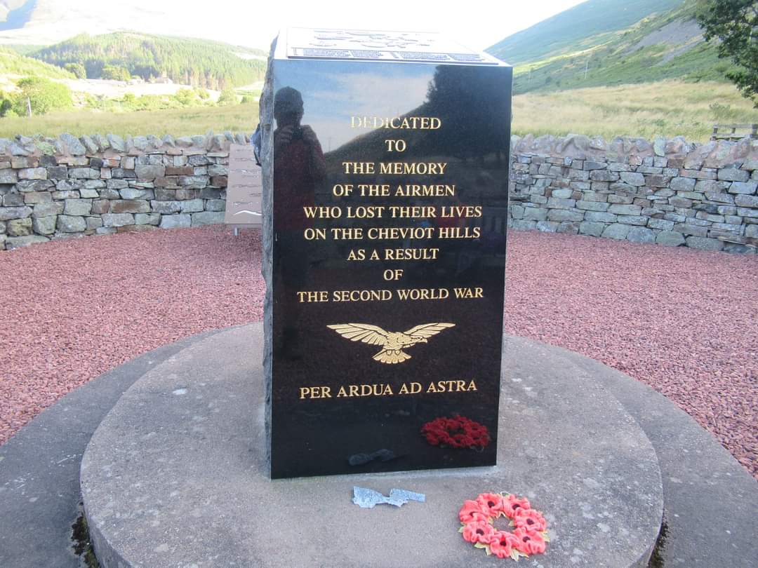
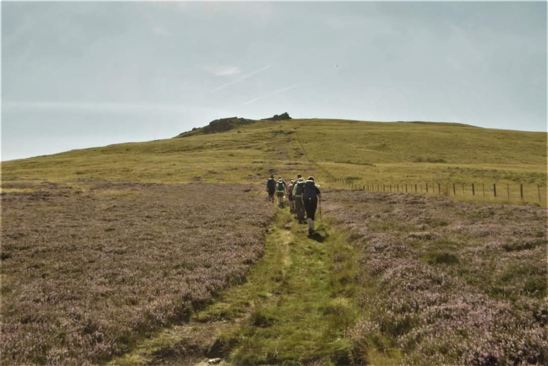
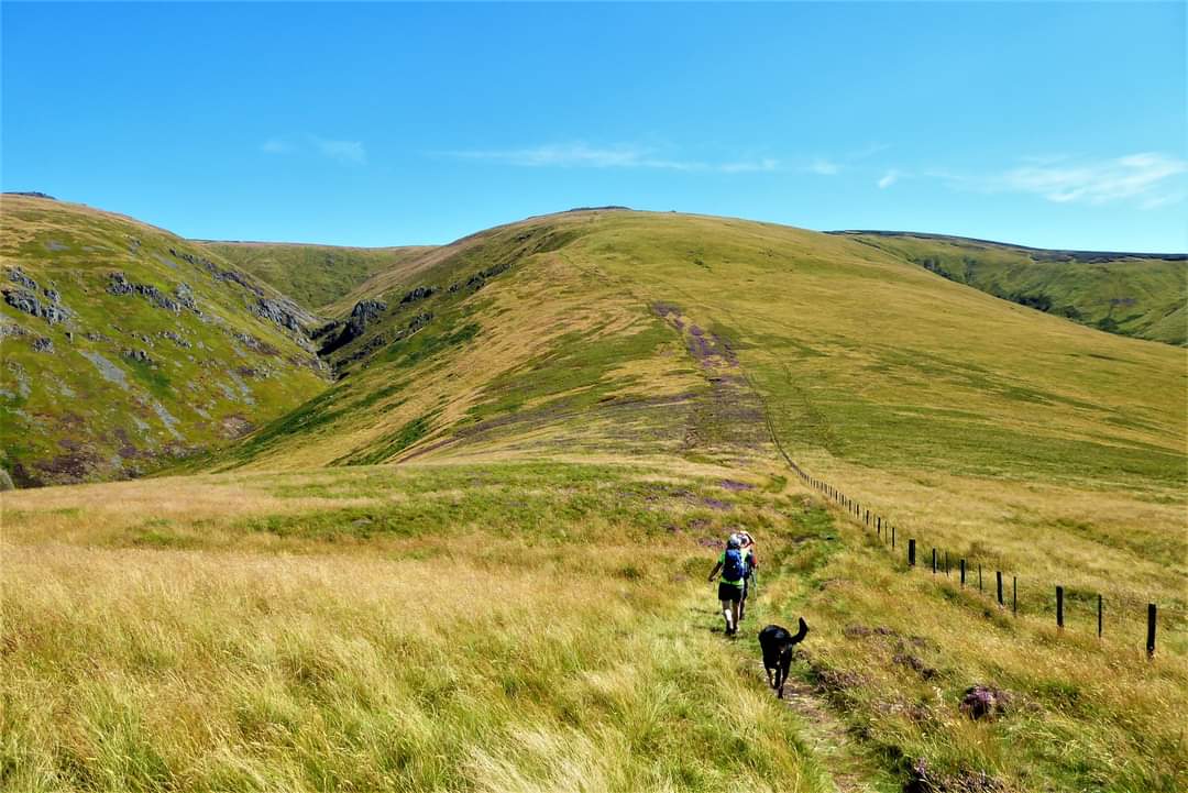
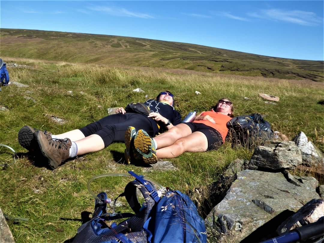
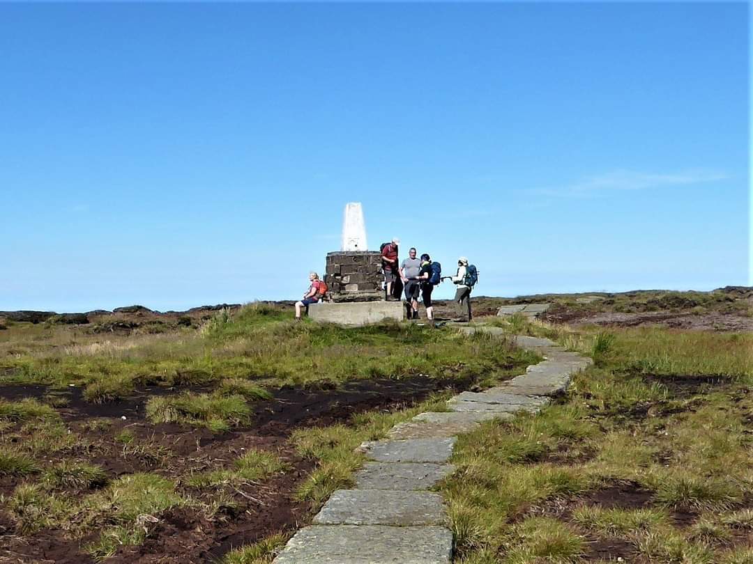
My first venture to The Cheviots on Saturday, travelling up on Friday to stay at Coldstream and stopping off at some great antique/vintage centres on route. It was described as 'a hard walk with 4021ft of ascent and some awkward terrain'! While I hadn't been idling, busying as ever in the garden, I hadn't walked for 5 weeks. So what better than a challenging walk on a very hot summer's day!!! We met at Hethpool car park at 8.30 with a mist hovering that gradually cleared to bring on the heat. I was prepared with much water, my plant pot hat and, for the first time on a walk this year, shorts and walking shoes that replaced my usual leggings, boots and gaiters! The rolling and melding of one hill into another is delightful and the views were astonishing, if hazy with the heat. 'Hill' does belie the seriously long ascents and descents. The route included The Schil and Aukhope Cairn on route to The Cheviot summit, 2674ft passing briefly over the border into Scotland and following in part St Cuthbert's Way and The Pennine Way. The long ascent to Aukhope Cairn in particular took much determination - slow and steady - with an extra long pause point at the top. By the time we'd made our way down from The Cheviot plateau, an equally serious descent, the heat was taking its toll on energy levels and water supply. I was thankful for the extra bottle of water in my rucksack, though the exertion impacted on muscles with some odd tightening at times that did gradually work out as I walked. And thank goodness for bum cheeks!! Stepping down from a style I fell back over some rocks and waited for the impact as I went down in slow motion! No damage done, Jeff pulled me to my feet and I am of an age when nothing embarrasses me anymore!! Thank you so much John Scott for such a great walk and my introduction to The Cheviots at last, no better person to do that, to Alex for the energy gel and to everyone for great company as always. And as always, or nearly always, some of us did meet up at the Shoulder of Mutton in Longhorsley for a wee social and fluid refreshment on the way home - much needed after 10hrs walking. That's when I realised I hadn't turned off my walking SatMap so that instead of reading 19/20 miles it read 56miles!!! It was 9.40pm when I got in - a quick shower and a bowl of cereal taken to bed. I felt OK the next morning and so I did trim the ivy at the front of the house, up and down ladders over 4 1/2 hours, and then, after a late lunch, slept for 1/1/2 hours!! (Beryl Massey)Other Files
GPX
A GPX file of the above route may be downloaded by clicking the link below.
Note: GPX files of Group Walks are created by LDWA Group members, and may be downloaded only by other LDWA members. They should not be made available outside the LDWA, and are used at members' own risk.
Login to Download (Members Only)You can use the interactive controls to zoom in and out and to move around the map, or click on a path or a marker for more info. (interactive map help)
You can use the interactive controls to zoom in and out and to move around the map, or click on a path or a marker for more info. (interactive map help)
© OpenStreetMap contributors under Open Database Licence
Rights of way data from selected Local Authorities
Large scale digital mapping is provided by John Thorn
At high zoom levels the route is indicative only.
Gallery

Maps:
You can use the interactive controls to zoom in and out and to move around the map, or click on a marker for more info. (interactive map help)
© OpenStreetMap contributors under Open Database Licence.
Rights of way data from selected Local Authorities.
Large scale digital mapping is provided by John Thorn.


