
Spring Gentian
Sat 1st Apr 2023
Walk Details:
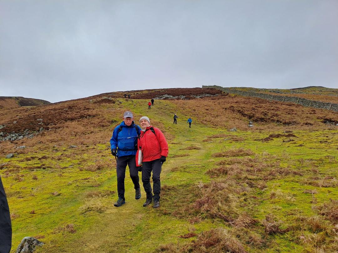
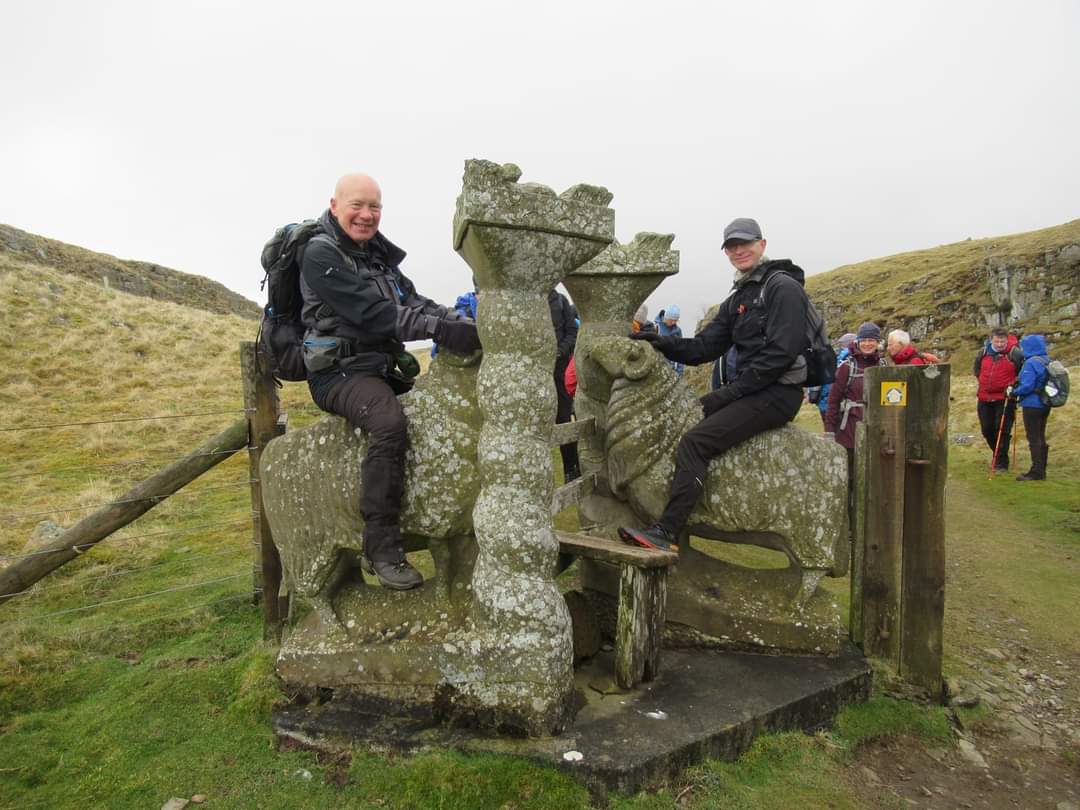
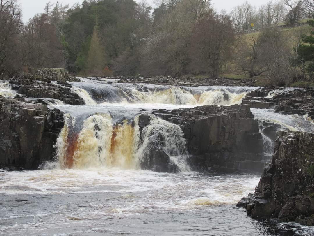
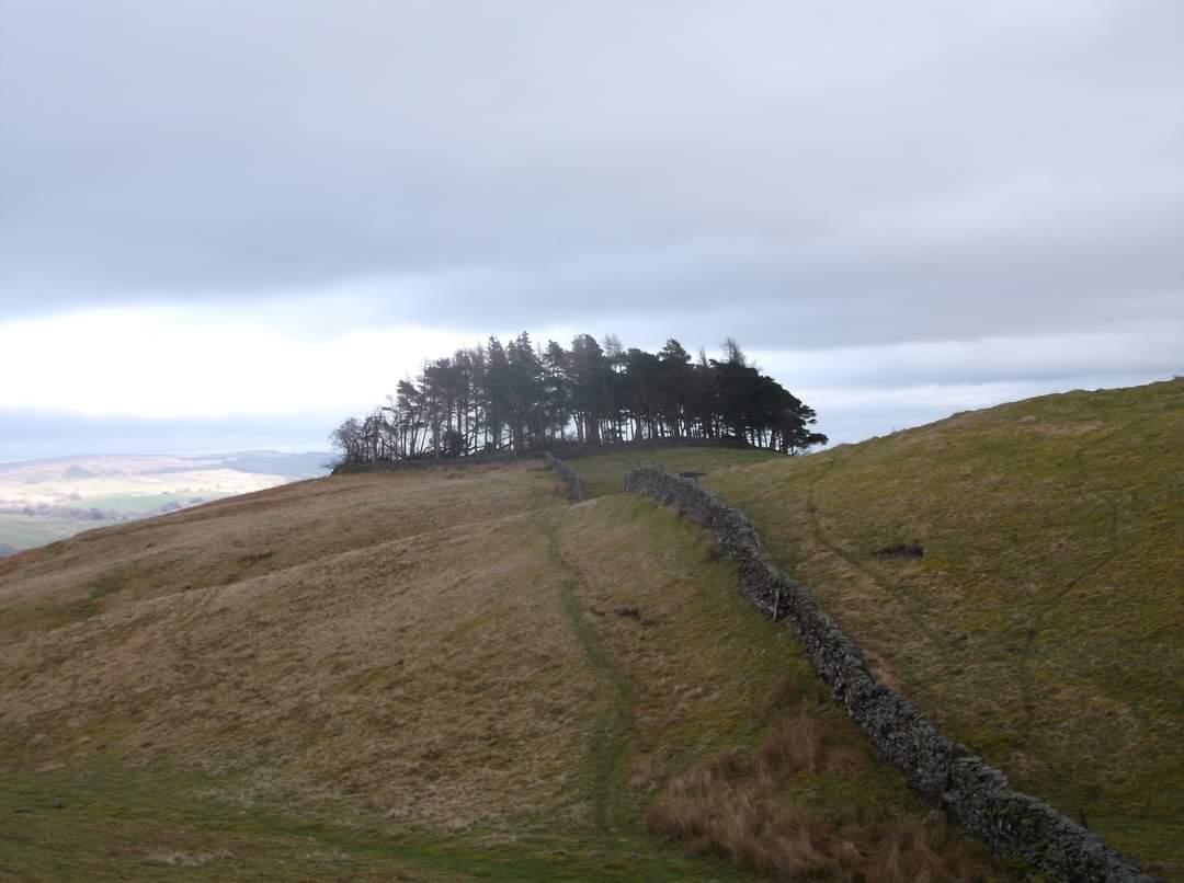
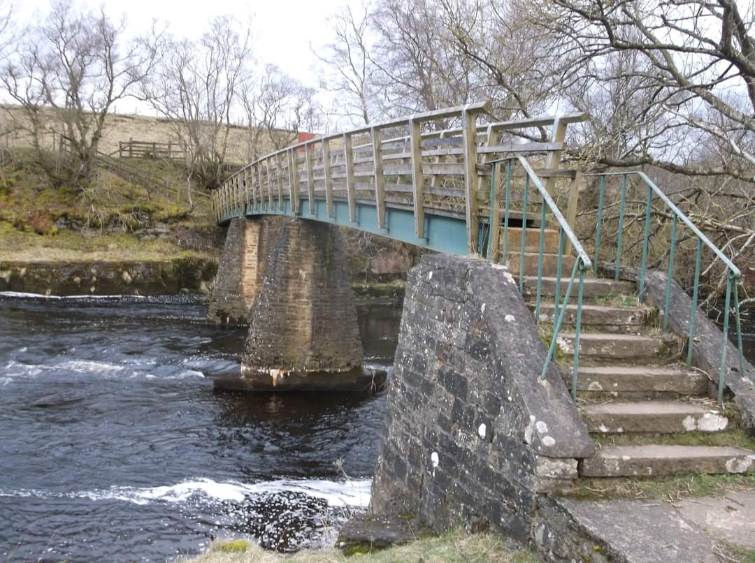
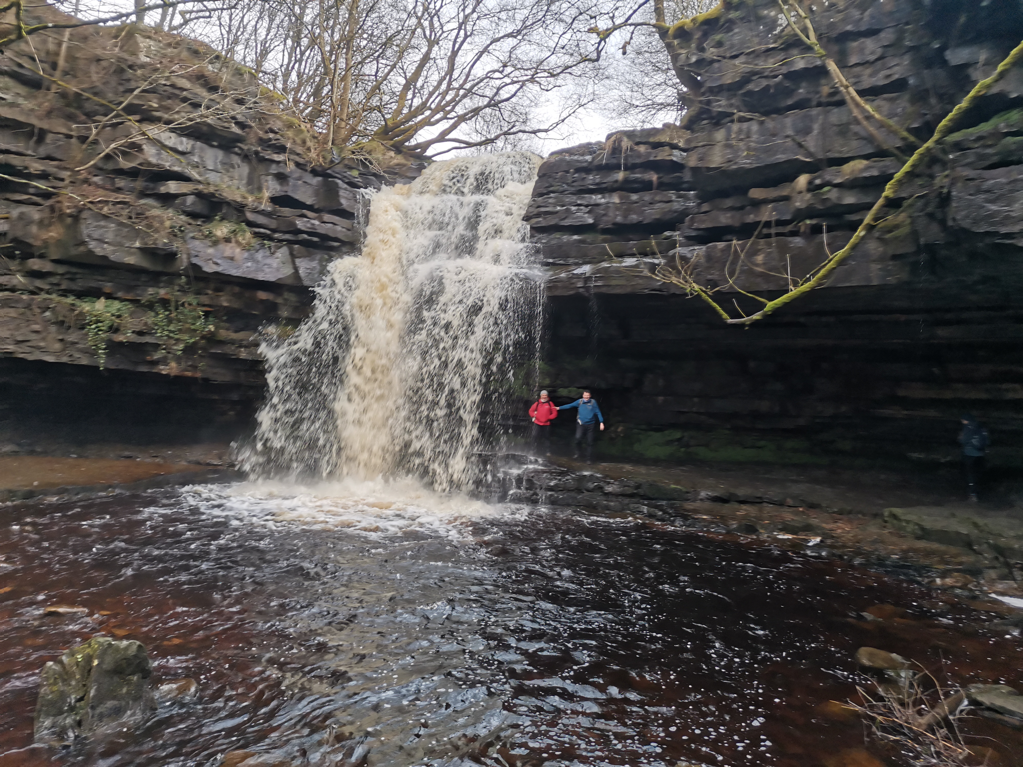
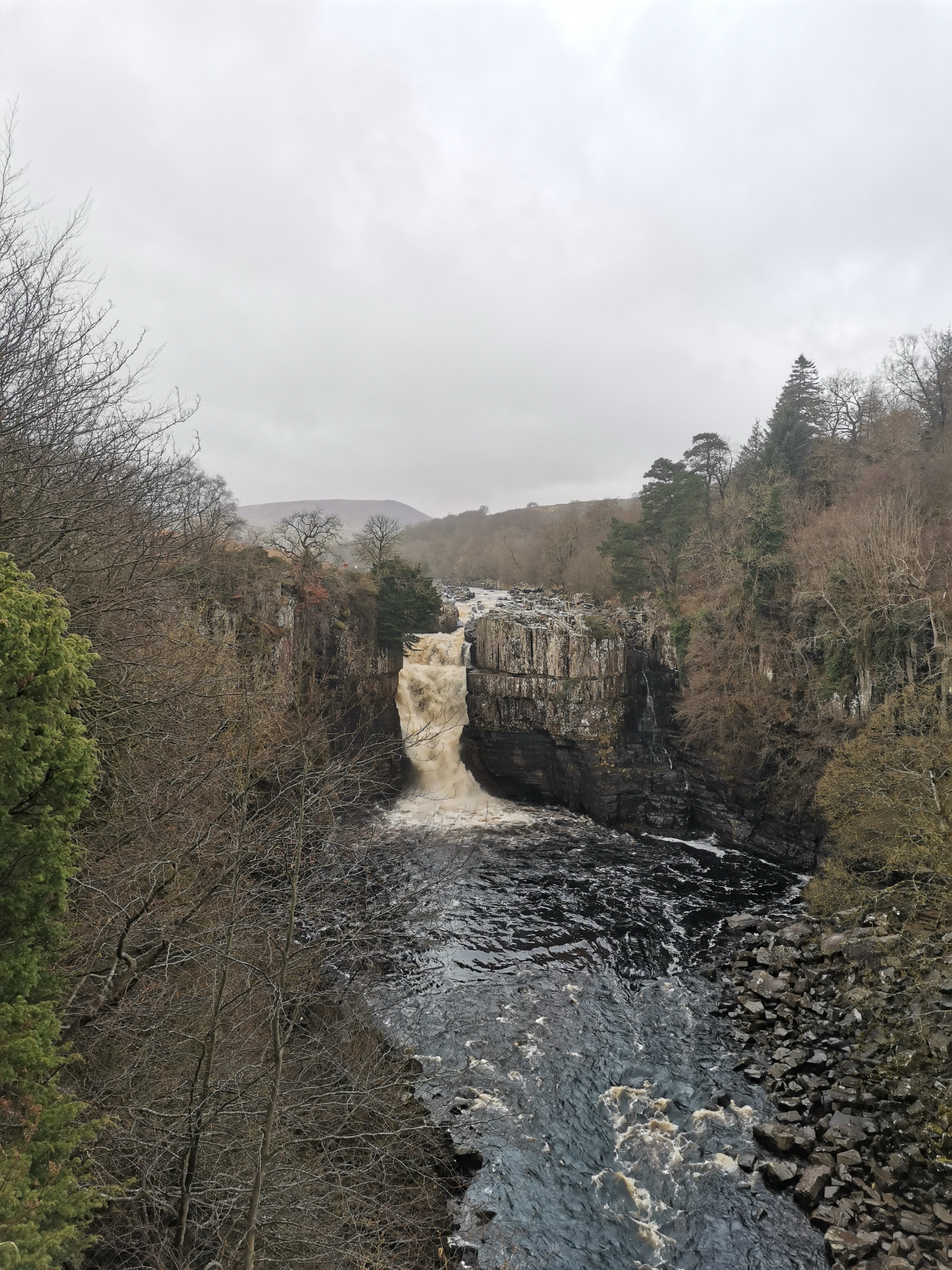
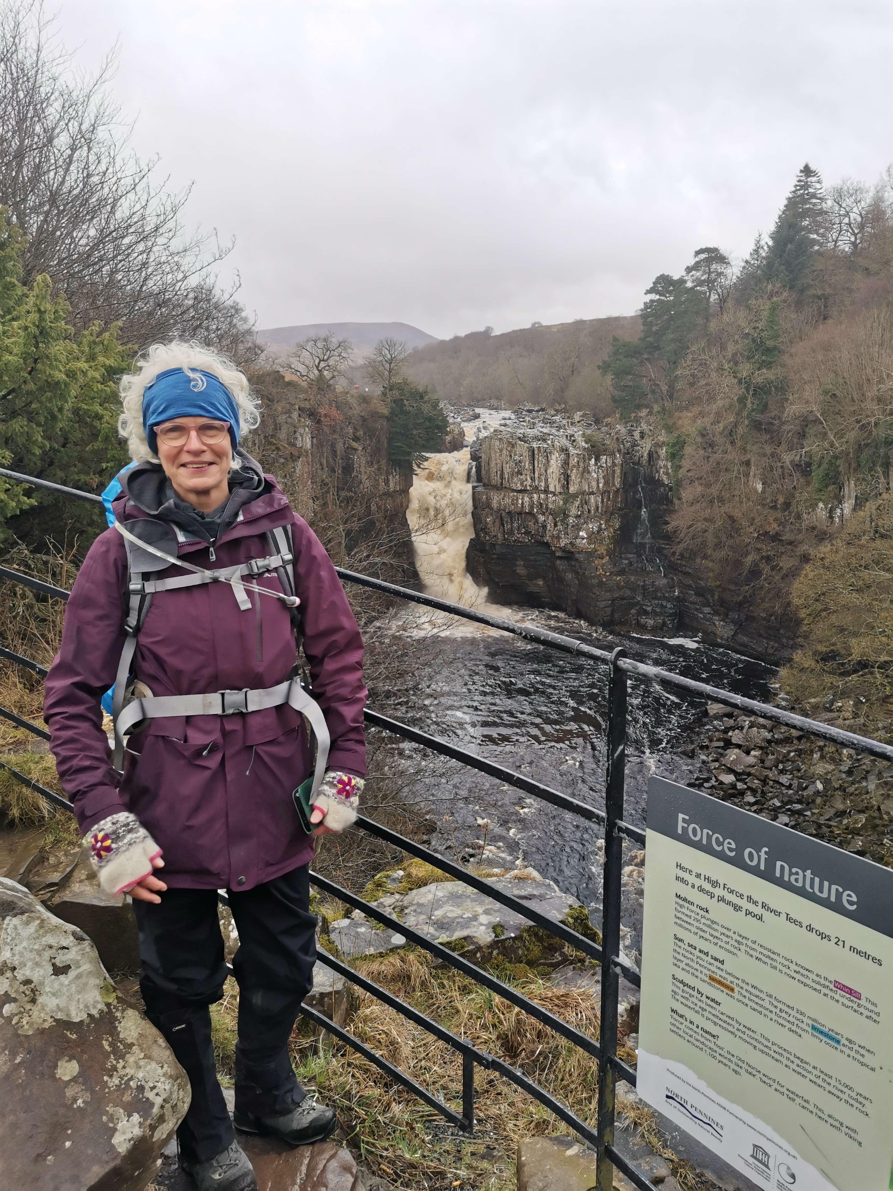
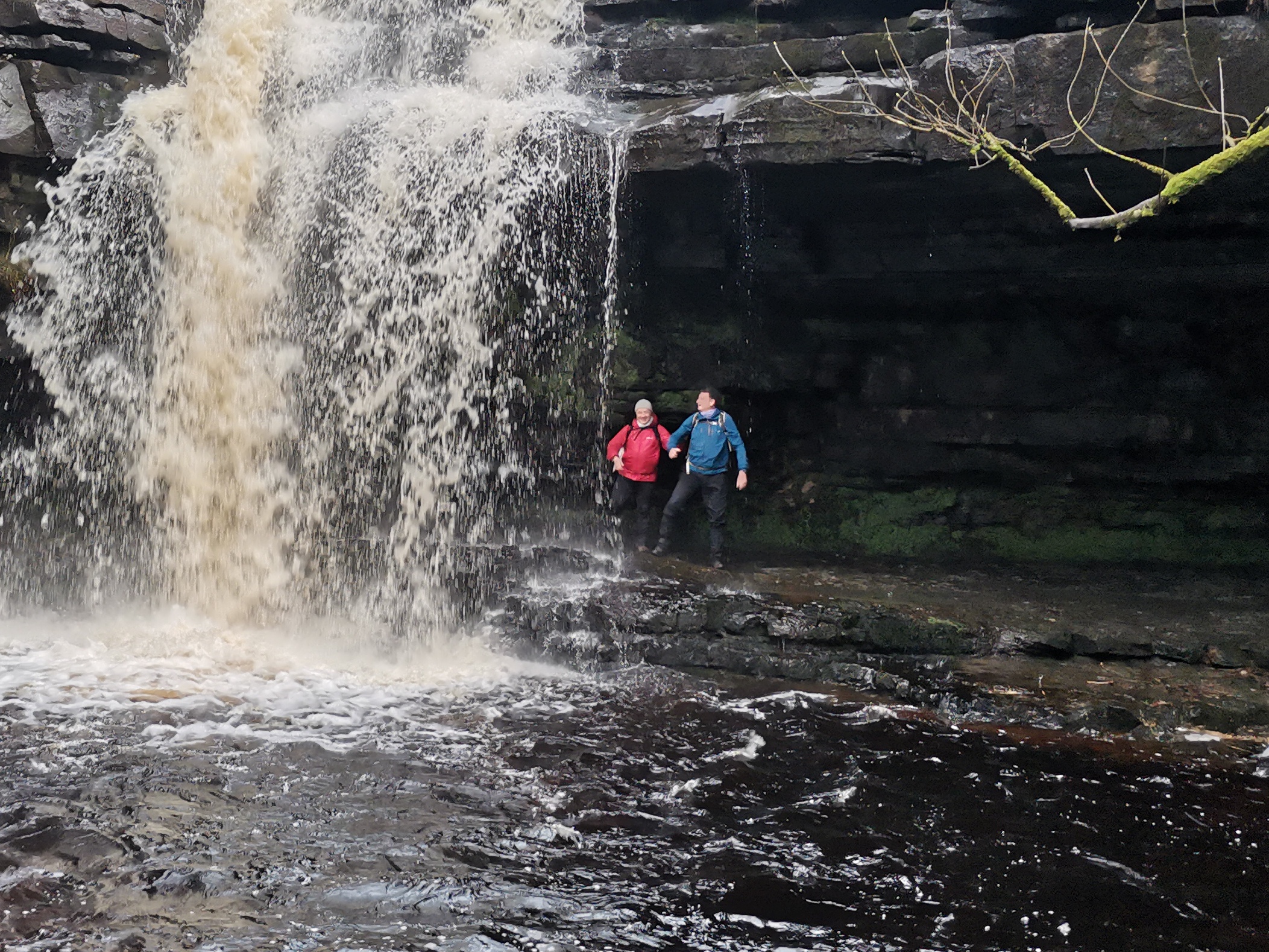
Circular 20 mile walk. with about 3000ft of ascent. Bowlees, Low Force, Wynch Bridge, High Force, Pennine Way to Cronkley Bridge, Cronkley Fell, Holwick Scars, Brown Dod, Kirkcarrion, Pennine Way to Middleton in Teesdale and along south bank of the Tees, cross Scorberry bridge and return to Bowlees
Entry Details:
Walk Report
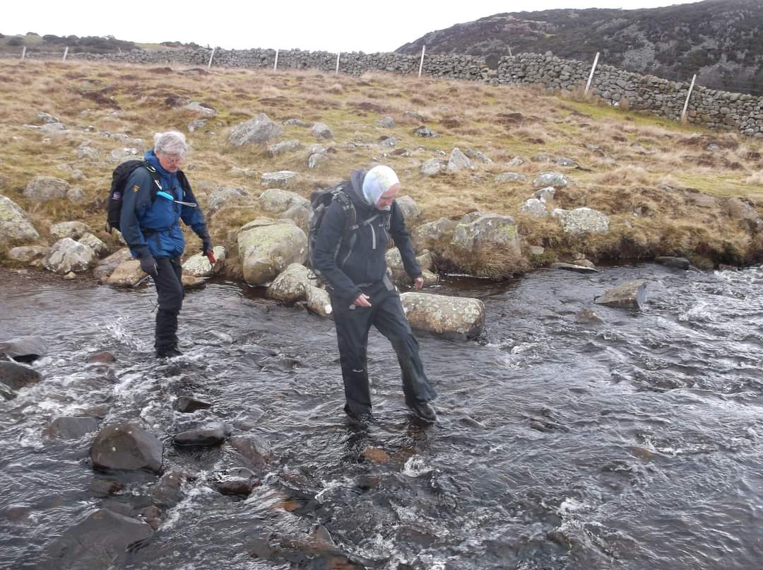
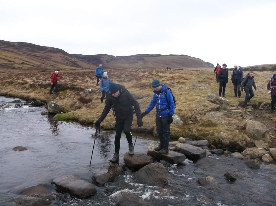
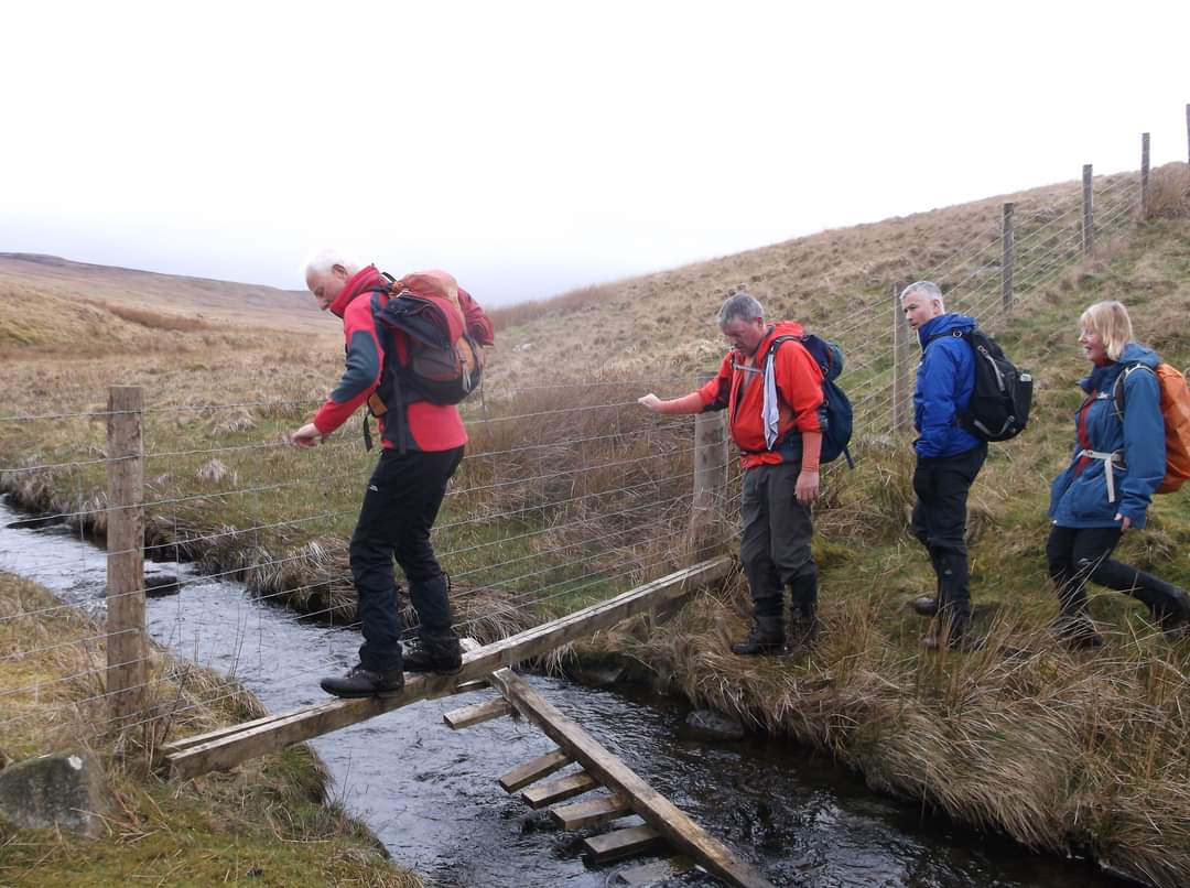
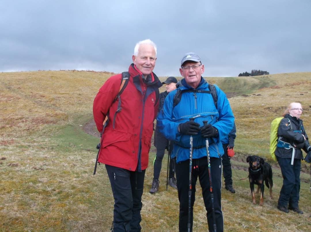
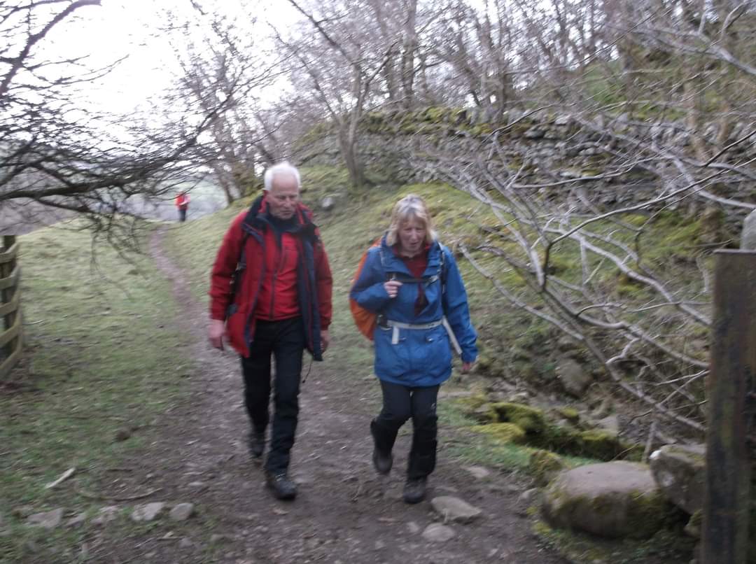
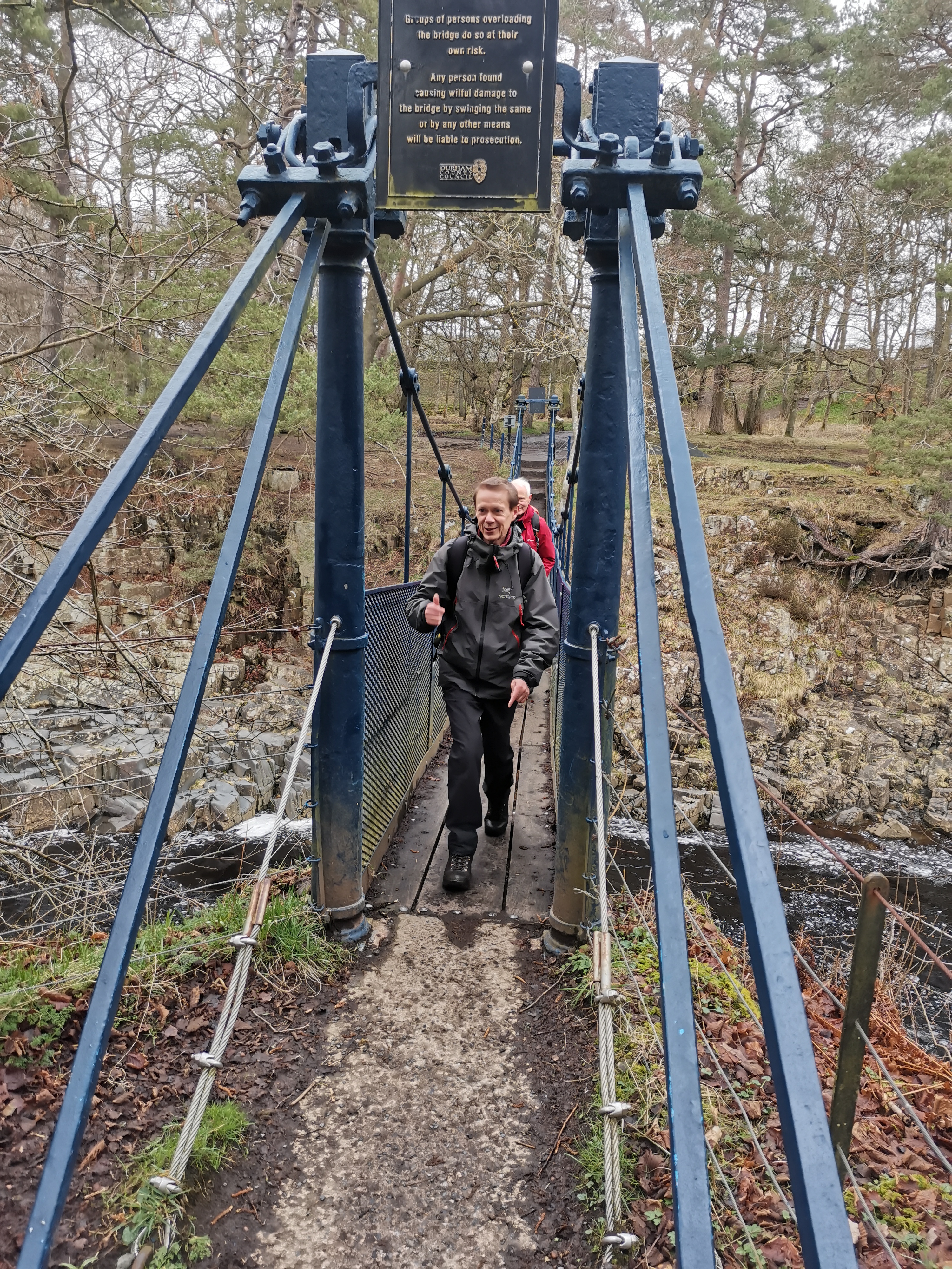
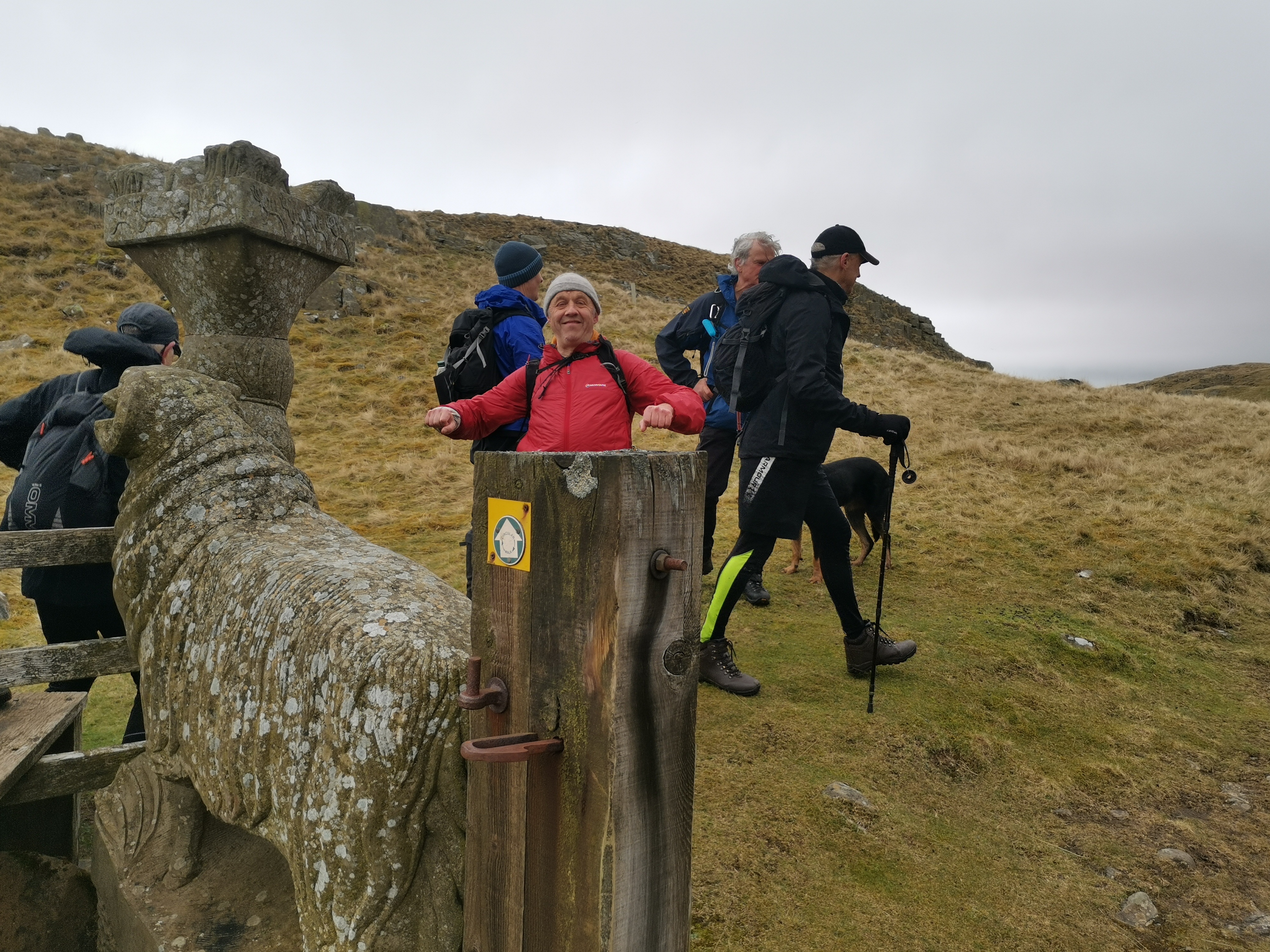
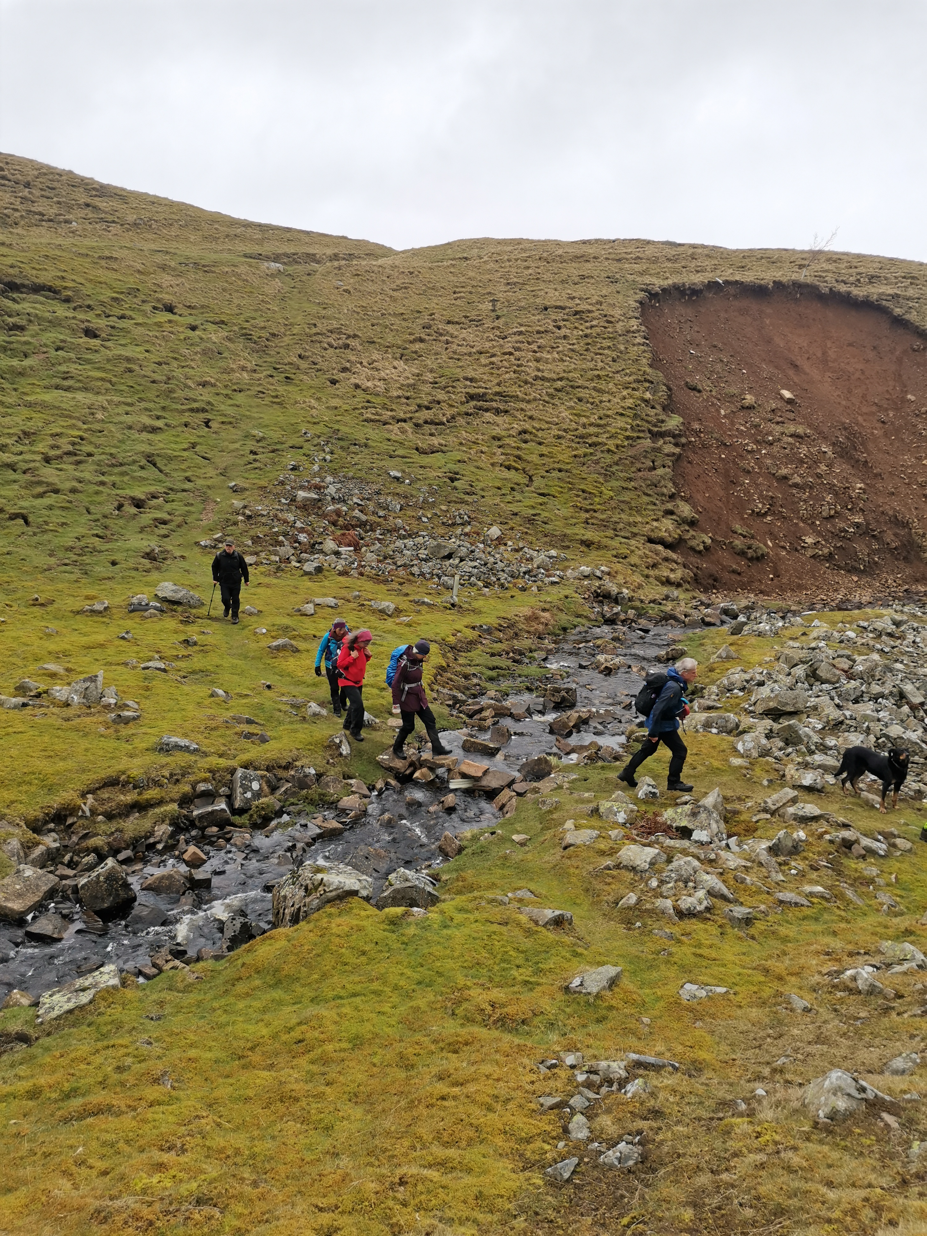
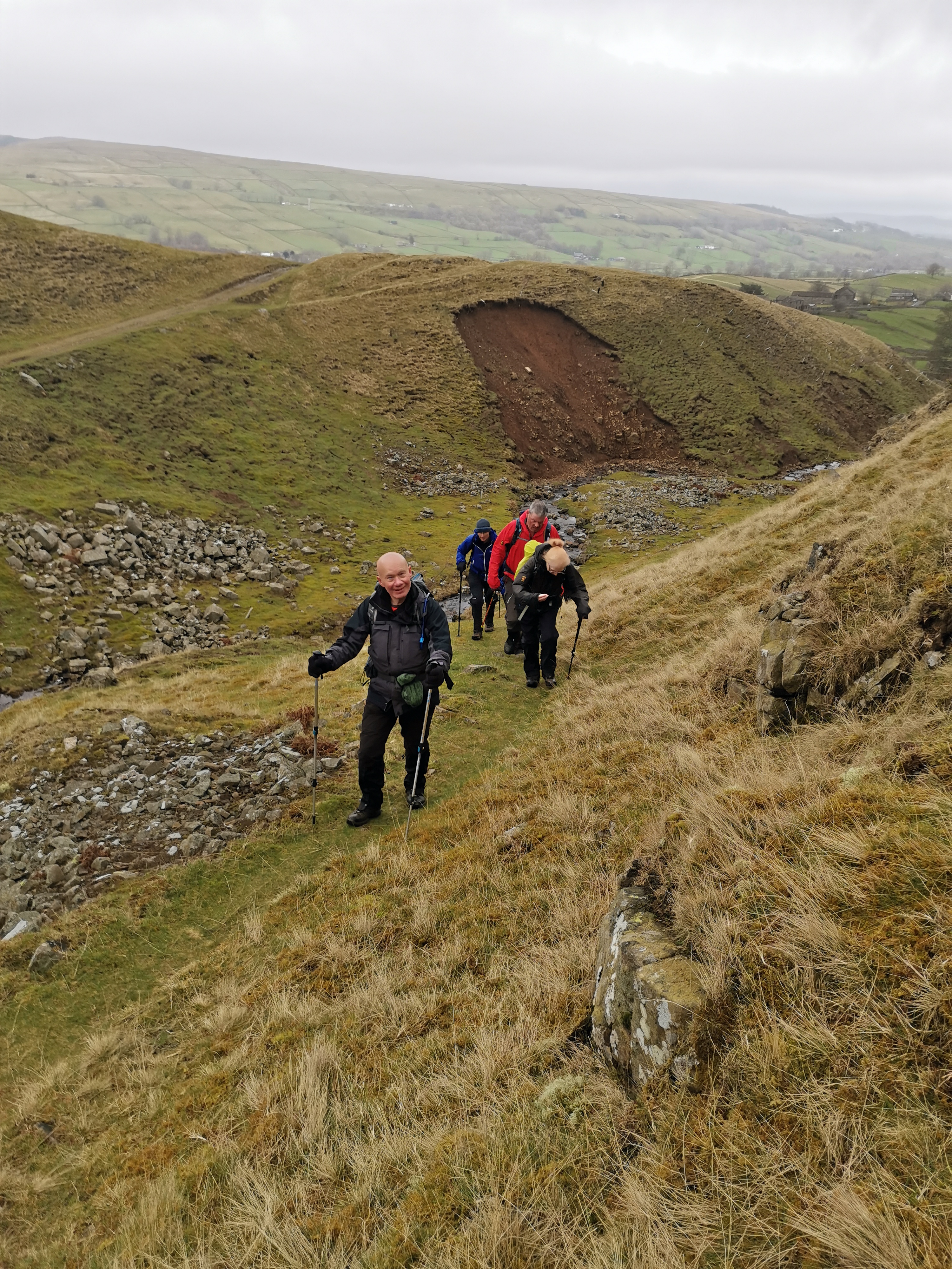
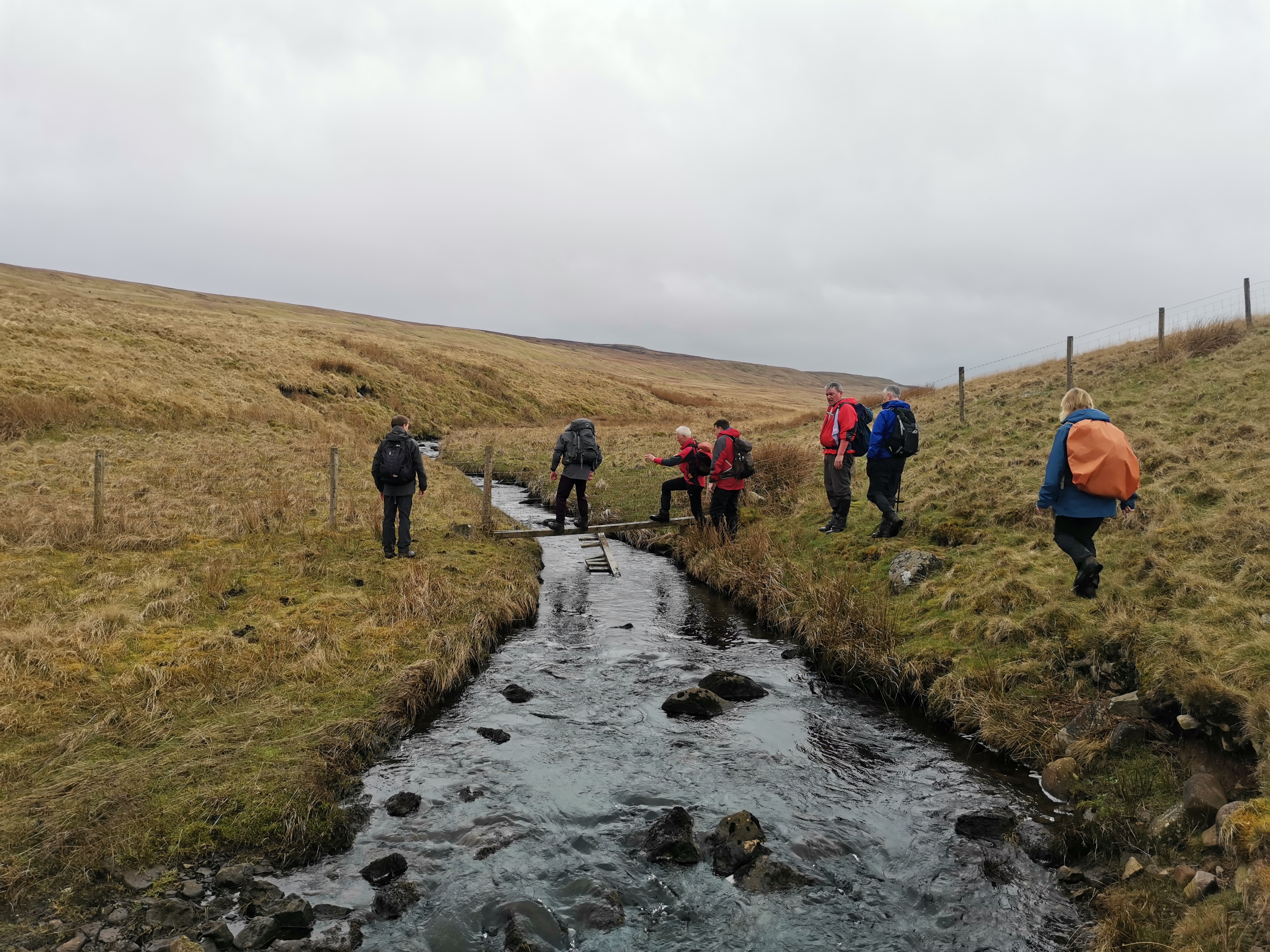
Yesterday myself and 2 other members joined the Northumbria group for the Spring Gentian walk. We were made very welcome by all the members on the walk. The walk itself was a tough 21 miler in an area I had never ventured in before. It was an excellent walk and well led by Liyang who had to look after 23 members. Not an easy task but was more than capable of handling any situation that arose. Numerous fast river crossings tested the group but with a bit of assistance and encouragement from other members everyone successfully crossed over with nothing more than wet feet. Our thanks also go to Paul ( Walks Secretary ) for his information on points of interest throughout the walk, unfortunately no rare plants were seen but I do hope to attend next year if this walk is again put on the programme. ( Andy Miller, North Yorkshire )Other Files
Download Walk ReportGPX
A GPX file of the above route may be downloaded by clicking the link below.
Note: GPX files of Group Walks are created by LDWA Group members, and may be downloaded only by other LDWA members. They should not be made available outside the LDWA, and are used at members' own risk.
Login to Download (Members Only)You can use the interactive controls to zoom in and out and to move around the map, or click on a path or a marker for more info. (interactive map help)
You can use the interactive controls to zoom in and out and to move around the map, or click on a path or a marker for more info. (interactive map help)
© OpenStreetMap contributors under Open Database Licence
Rights of way data from selected Local Authorities
Large scale digital mapping is provided by John Thorn
At high zoom levels the route is indicative only.
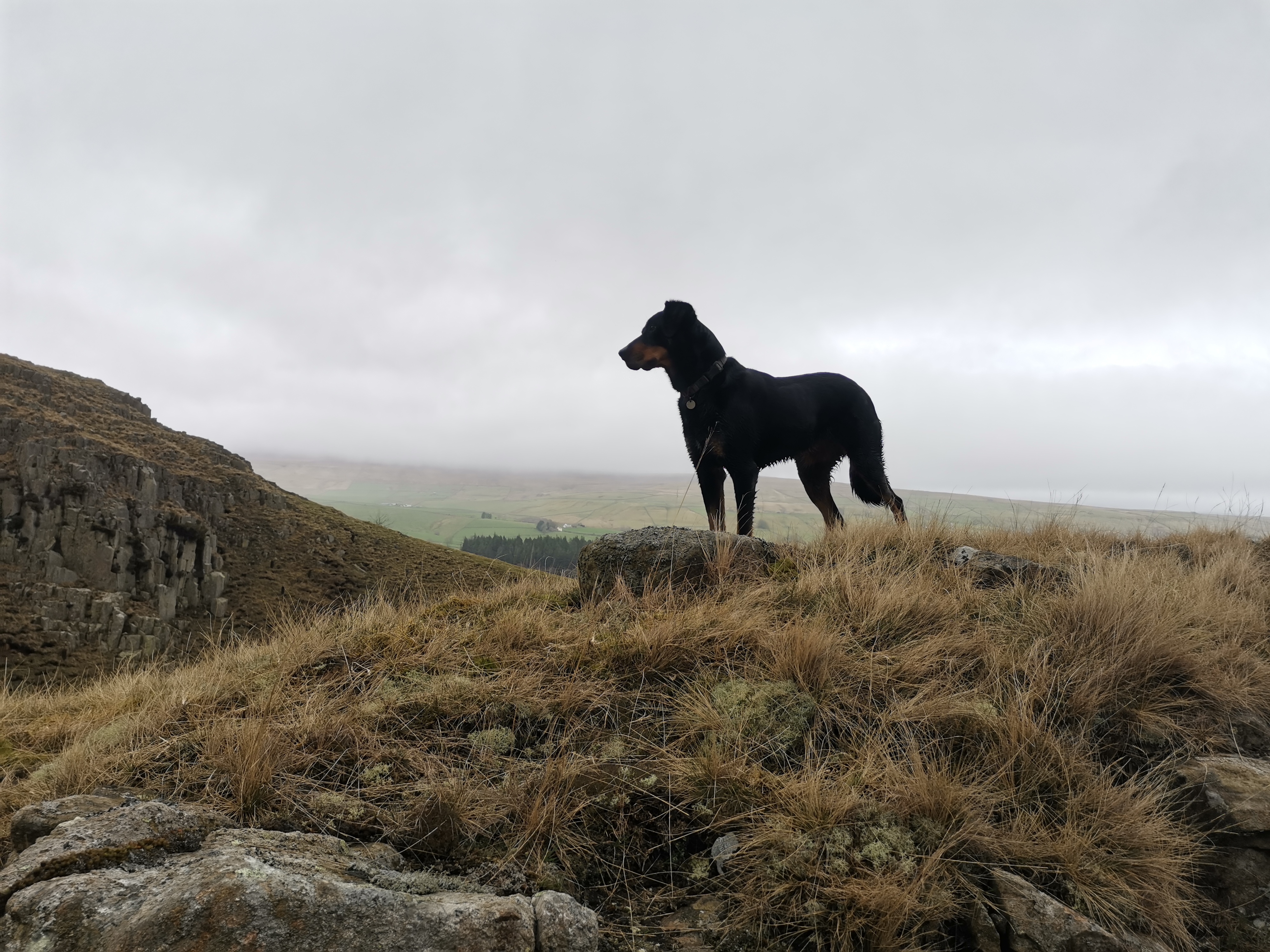
Gallery
Maps:
You can use the interactive controls to zoom in and out and to move around the map, or click on a marker for more info. (interactive map help)
© OpenStreetMap contributors under Open Database Licence.
Rights of way data from selected Local Authorities.
Large scale digital mapping is provided by John Thorn.


