
Viscount Ridley's Ferret
Sat 24th Sep 2022
Walk Details:
Stannington, Ogle, KIrkley Hall College, stepping stones across the River Pont at Berwick Hill Low House, Prestwick Carr, Blagdon Estate, River Blyth at Stannington Bridge, Stannington
Entry Details:
Walk Report
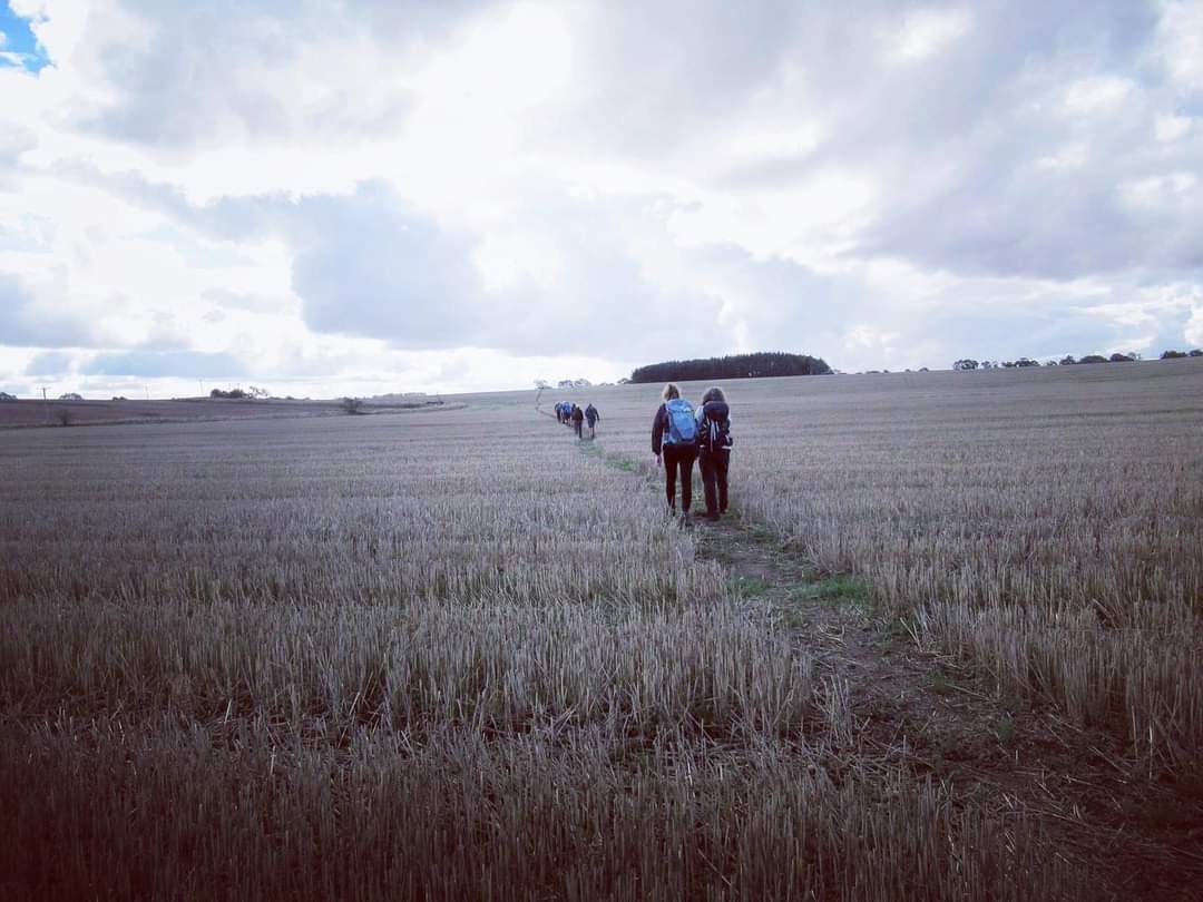
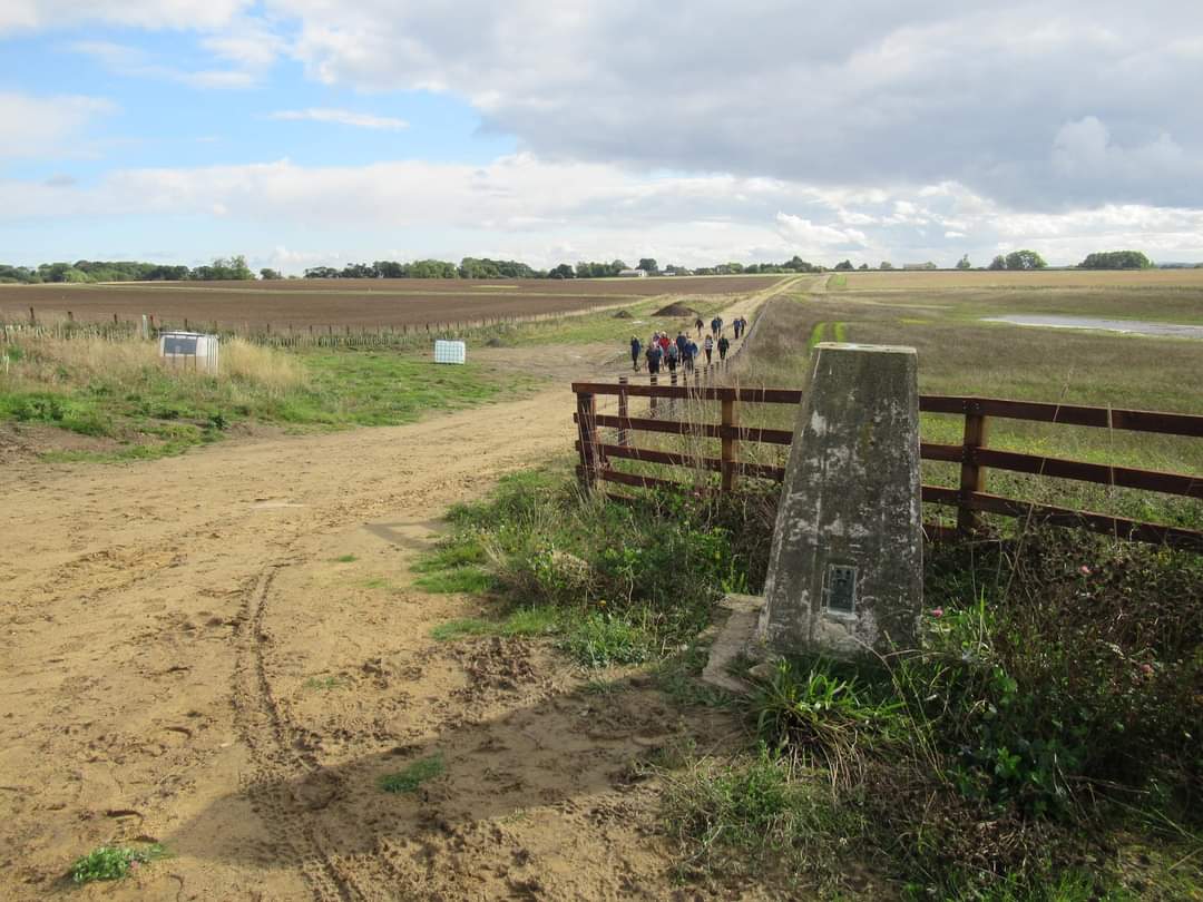
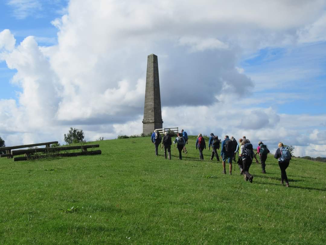
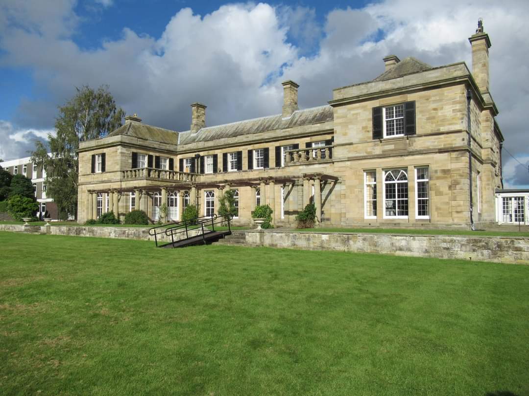
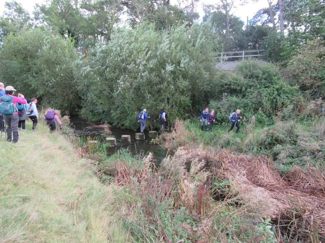
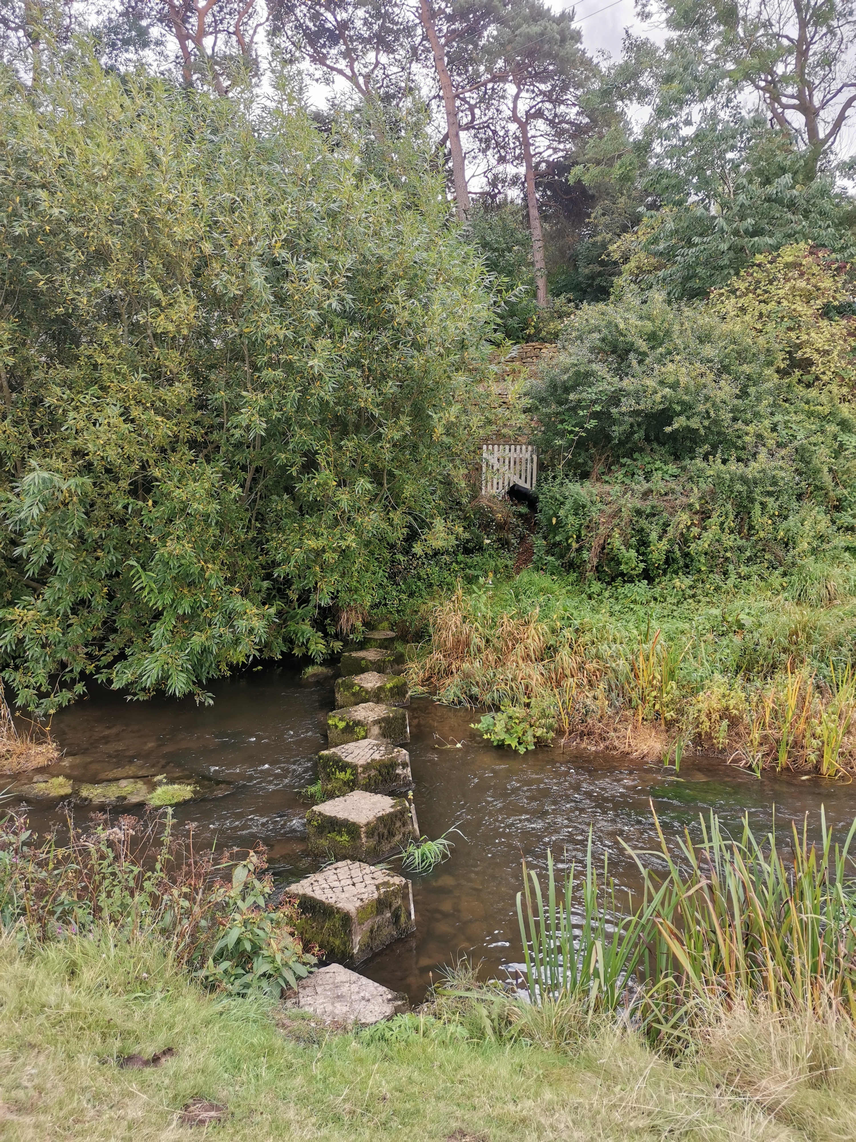
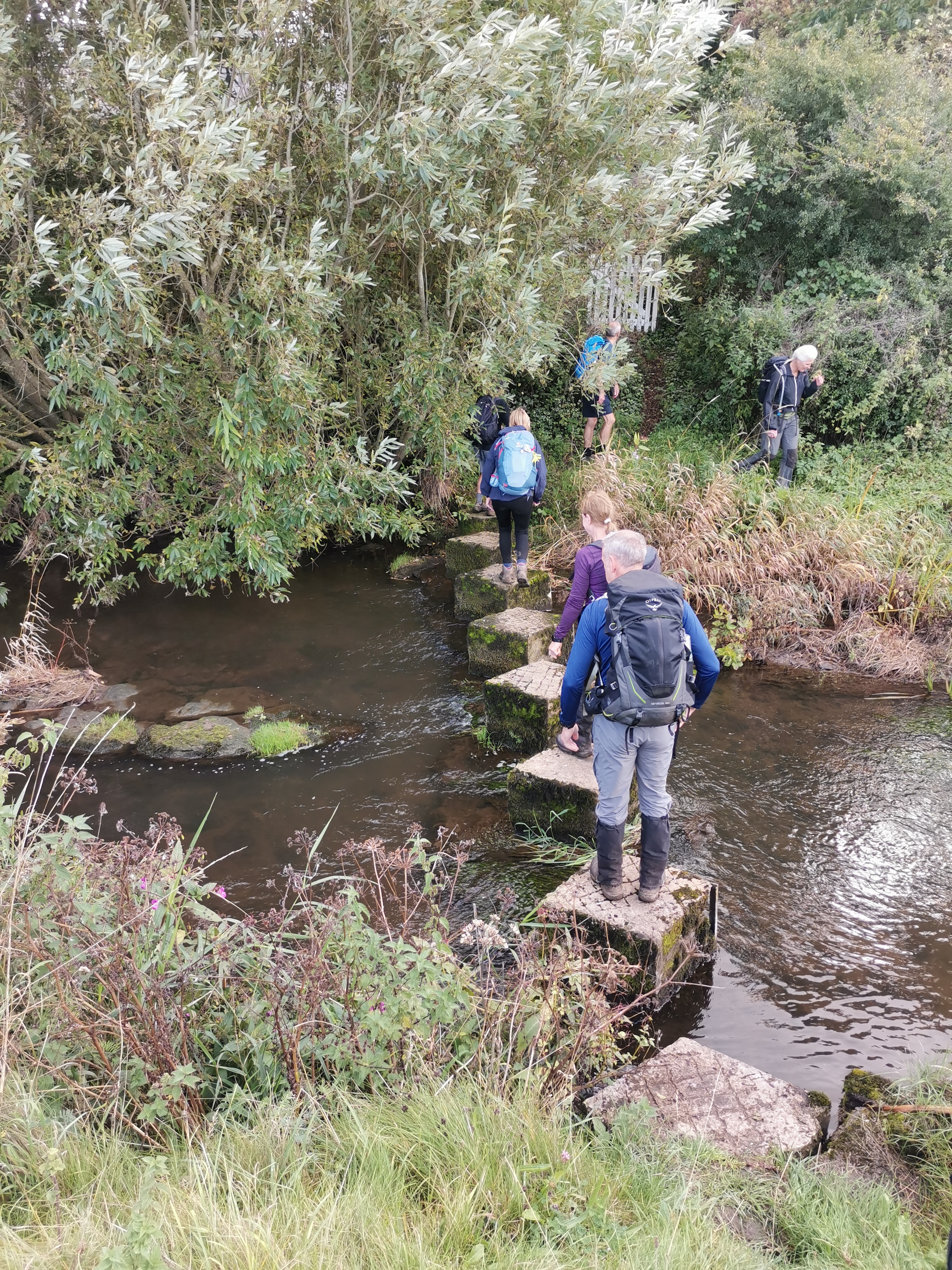
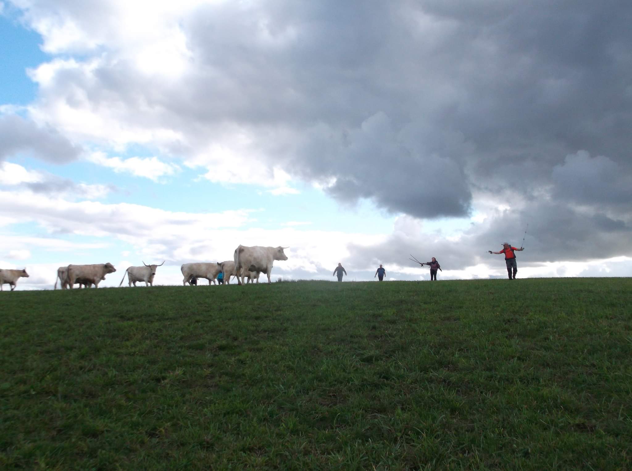
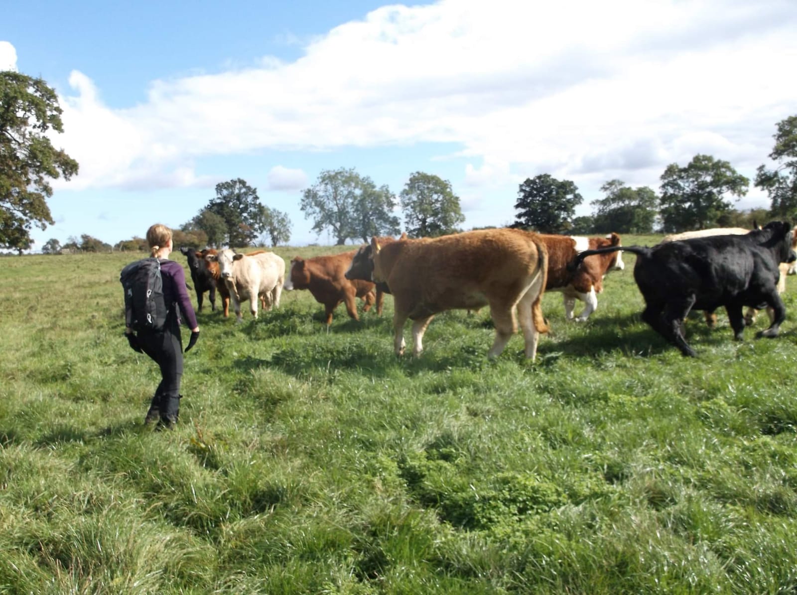
A late September walk entitled Viscount Ridley's Ferret, aka The Roy Nellist Flatlands Walk was fashioned pre covid, though held in abeyance. Twenty eager souls and Poppy, ventured from Stannington, initially westward, along field boundaries and small hamlets, on a mild day. After visiting the Kirkley Obelisk, Gilly regaled the history of the structure, erected in 1788 to commemorate the centenary of Glorious Revolution and its significance to the suppression of Catholicism and the establishment of the Protestant faith. We were then, ably directed by Jim to his former place of employment and the delightful walled garden of Kirkley Hall College. Lunch was enjoyed on the lawns of the former Ogle family mansion which certainly included windfall in the shape of the Kirkley coxes apples. The route continued past Berwick Hill Low House, with a stepping stone crossing over the River Pont, with Poppy performing terrific agility, later, matched by Gilly, on escaping from the marauding herd of White Park Cattle as we crossed the Blagdon Estate. Old waggonways were followed as we skirted the MOD rifle range at Prestwick Carr, bordered too by a nature reserve. we eventually emerged by Carr Grange Farm and visited Brenkley Hill Trig Pillar, 82 metres above sea level, though warranting a coat of paint. We continued through the recently reclaimed fields where surface mining has been undertaken, viewing new fencing and recently planted hedgerows, research suggests the Ridley Estate only benefited from “wayleave payments†with the mined coal owned by the Crown. Having journeyed through the Blagdon Estate, we arrived at the A1 to cross the River Blyth and return to Stannington and our start point from the Ridley Arms. A great day was had, enjoyed by all. Thanks to the two Paul's for staging the walk and Roy for his initial planning; the derivation of the walk title has been lost in the midst of time, following an earlier fevered exchange of messages, at the time of the reccee. It is not inconceivable that Viscount Ridley kept ferrets, however, not necessarily down his trouser leg ! ( Peter Ford)Other Files
GPX
A GPX file of the above route may be downloaded by clicking the link below.
Note: GPX files of Group Walks are created by LDWA Group members, and may be downloaded only by other LDWA members. They should not be made available outside the LDWA, and are used at members' own risk.
Login to Download (Members Only)You can use the interactive controls to zoom in and out and to move around the map, or click on a path or a marker for more info. (interactive map help)
You can use the interactive controls to zoom in and out and to move around the map, or click on a path or a marker for more info. (interactive map help)
© OpenStreetMap contributors under Open Database Licence
Rights of way data from selected Local Authorities
Large scale digital mapping is provided by John Thorn
At high zoom levels the route is indicative only.
Gallery
Maps:
You can use the interactive controls to zoom in and out and to move around the map, or click on a marker for more info. (interactive map help)
© OpenStreetMap contributors under Open Database Licence.
Rights of way data from selected Local Authorities.
Large scale digital mapping is provided by John Thorn.


