
Dales Delight
Sat 2nd Jul 2022
Walk Details:
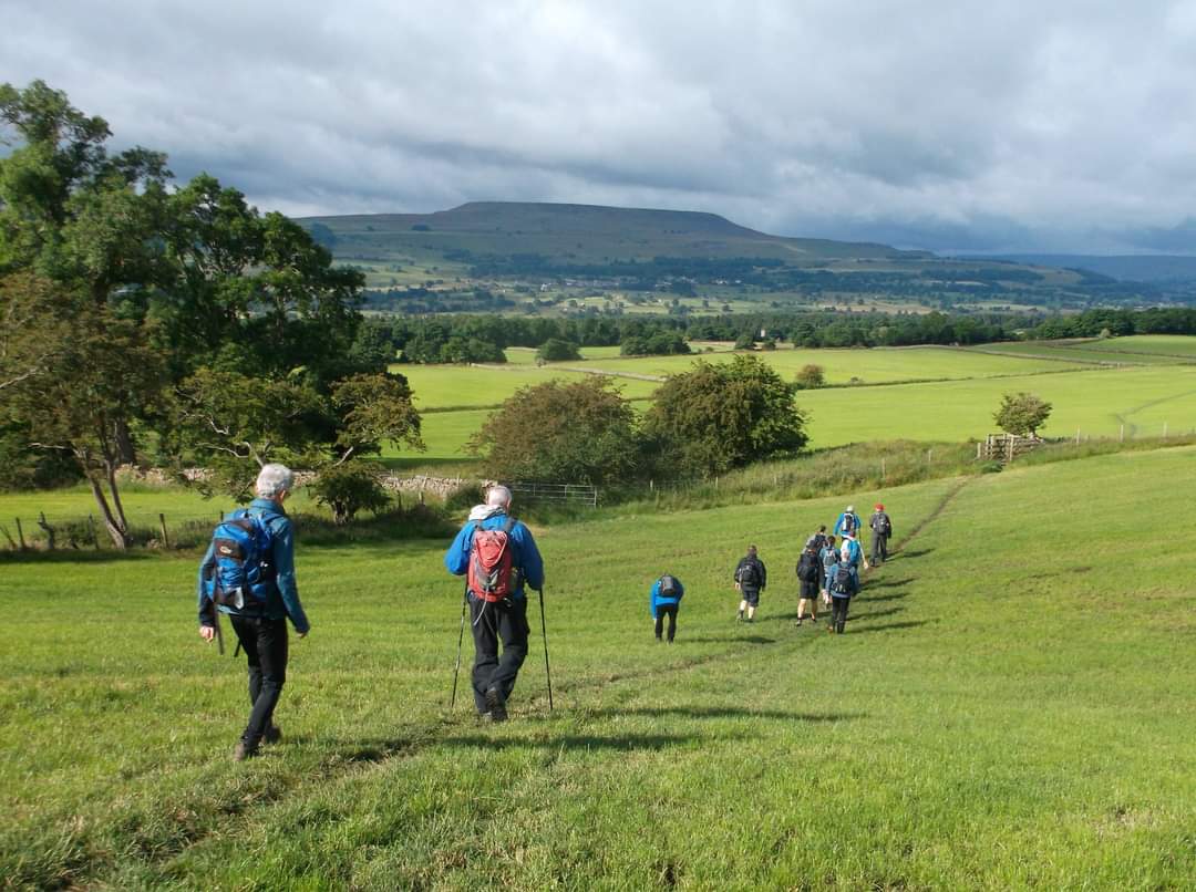
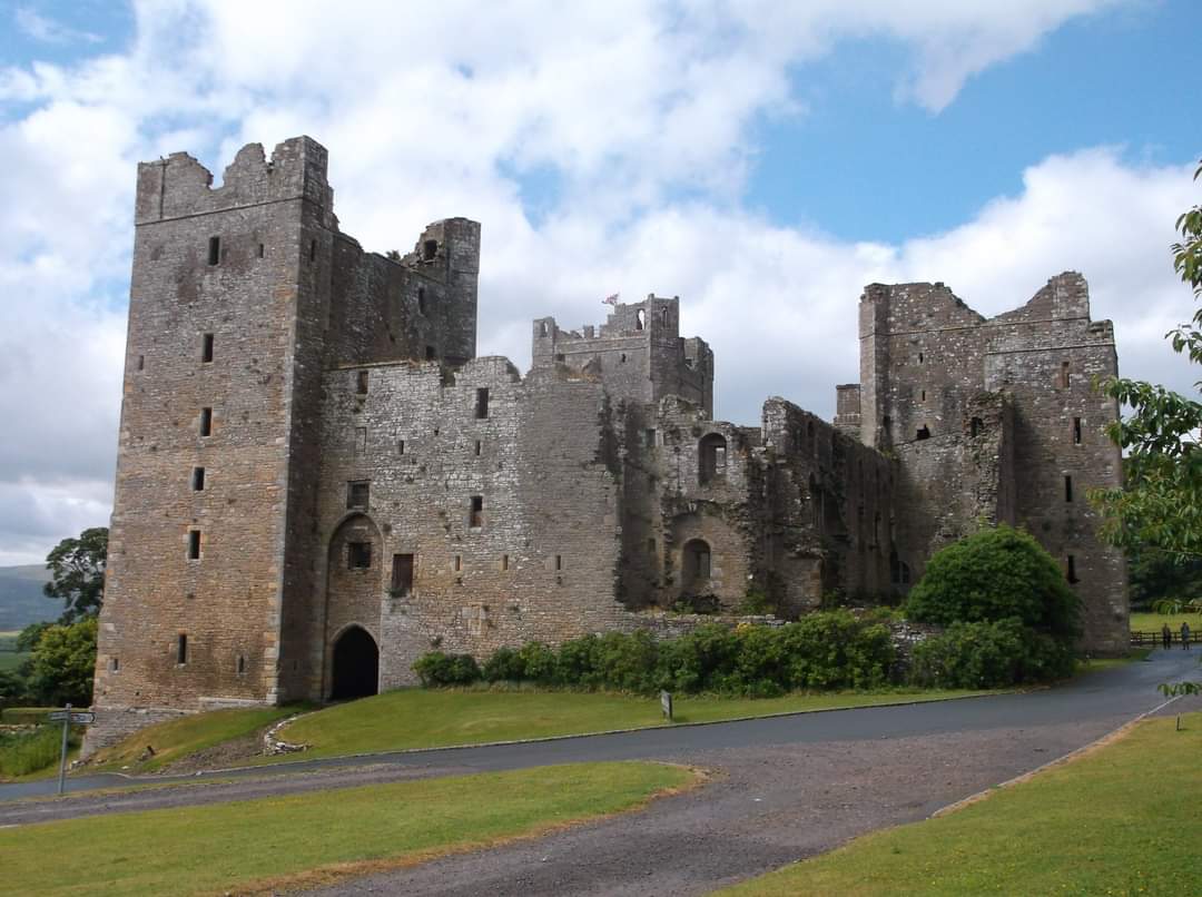
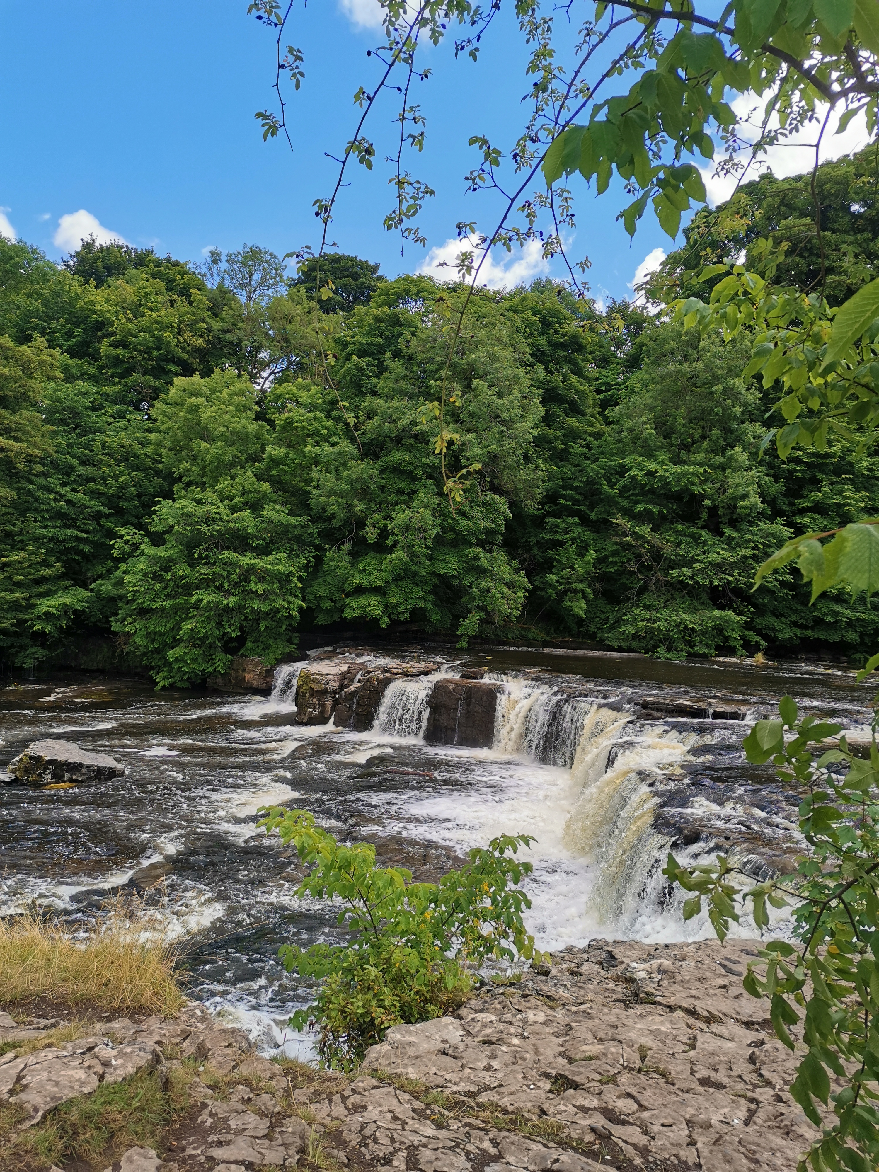
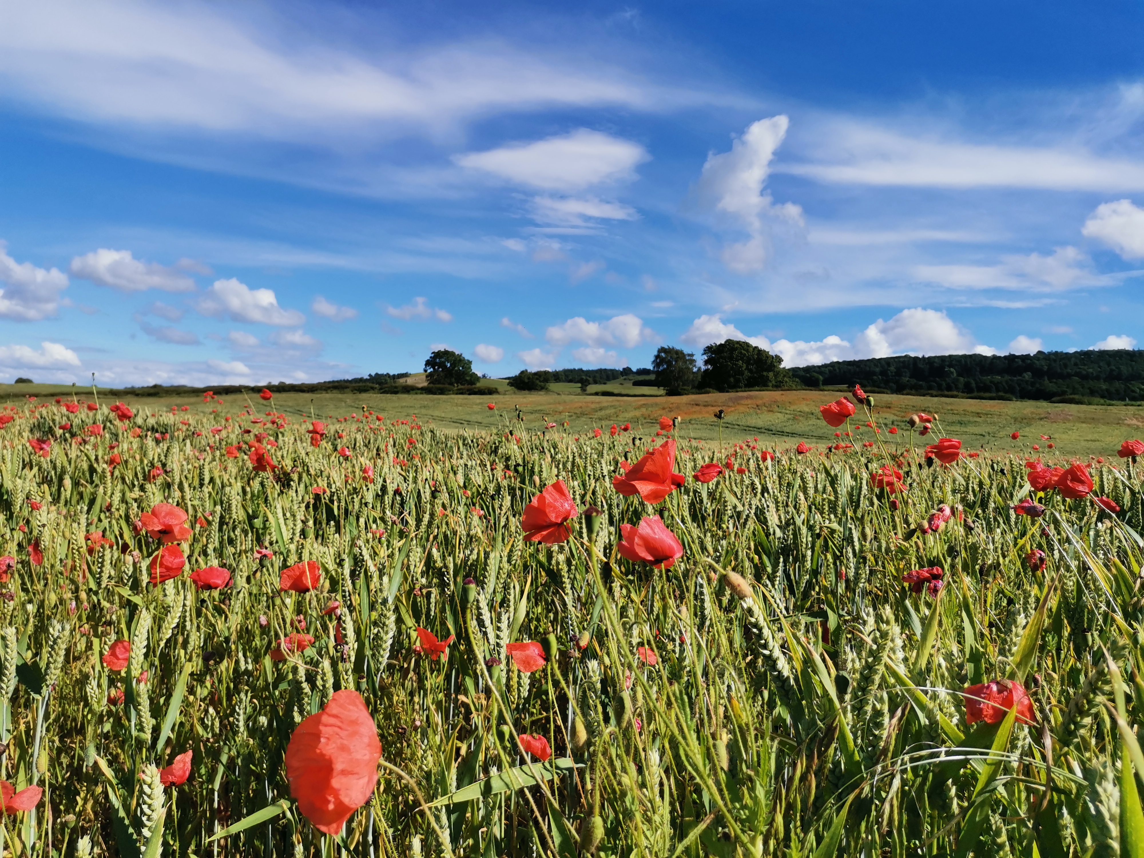
Leyburn Shawl, across the moors to Castle Bolton, Aysgarth Falls, then follow the River Ure to Wensley Bridge and return to Leyburn
Entry Details:
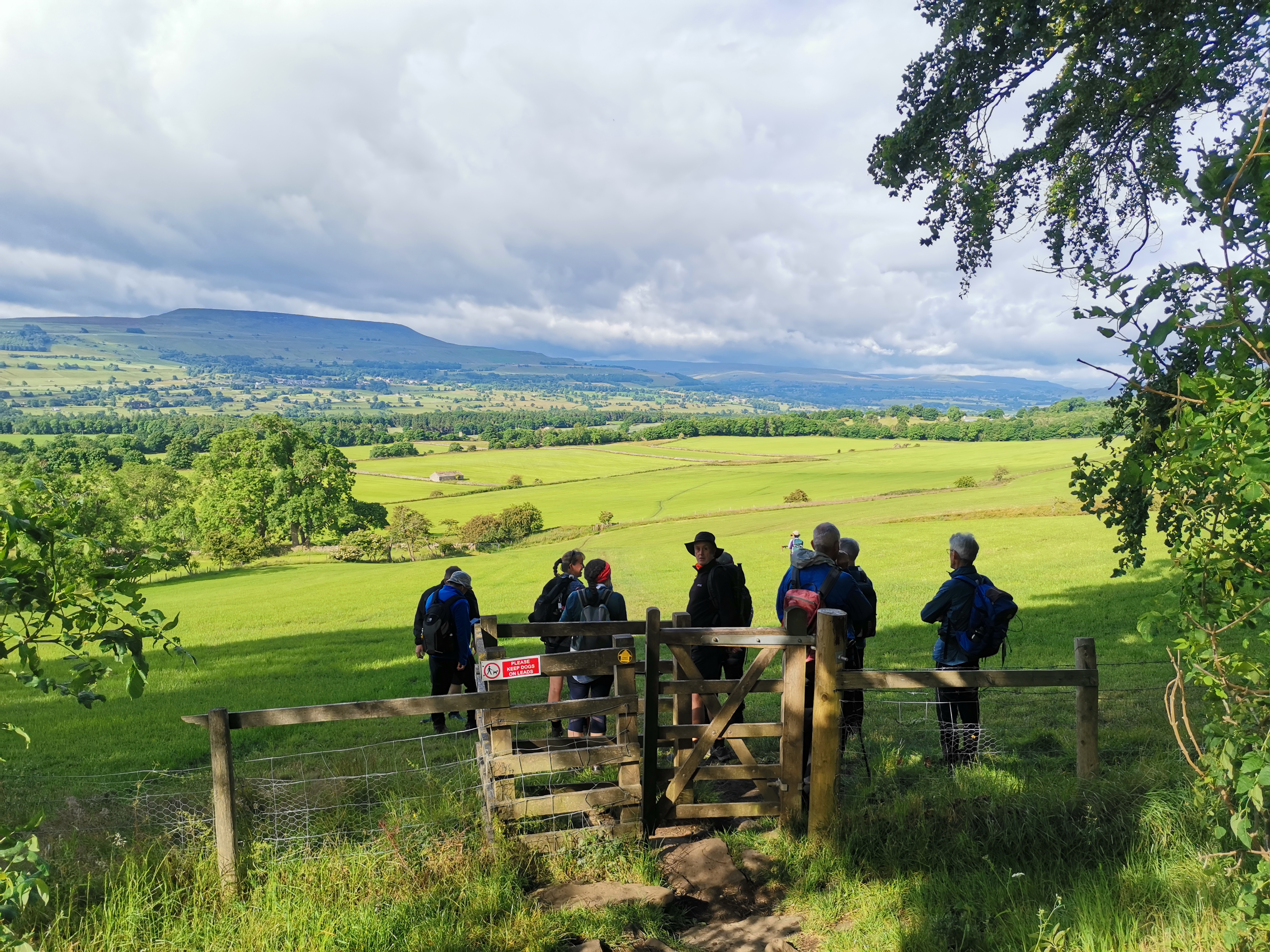
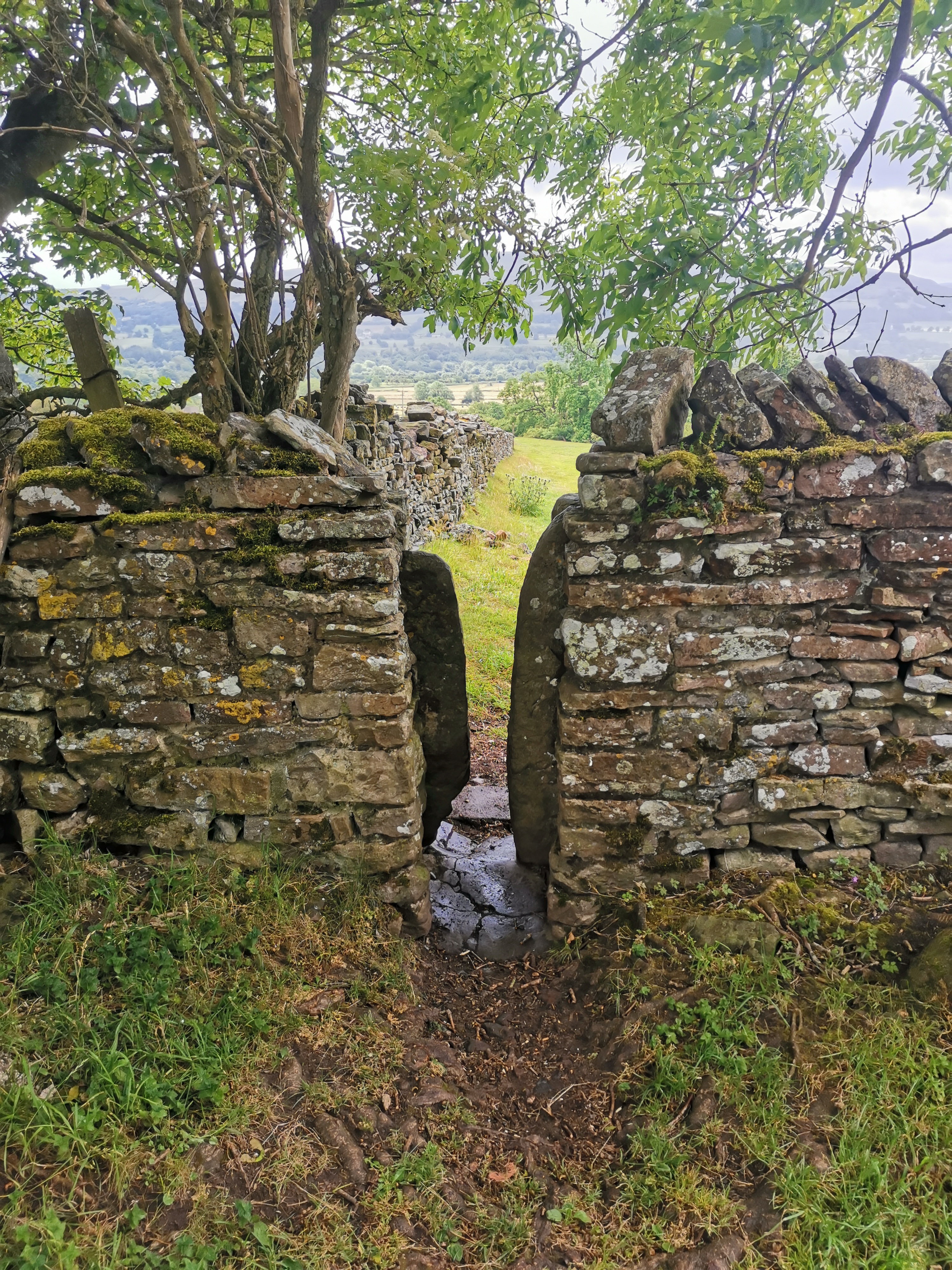
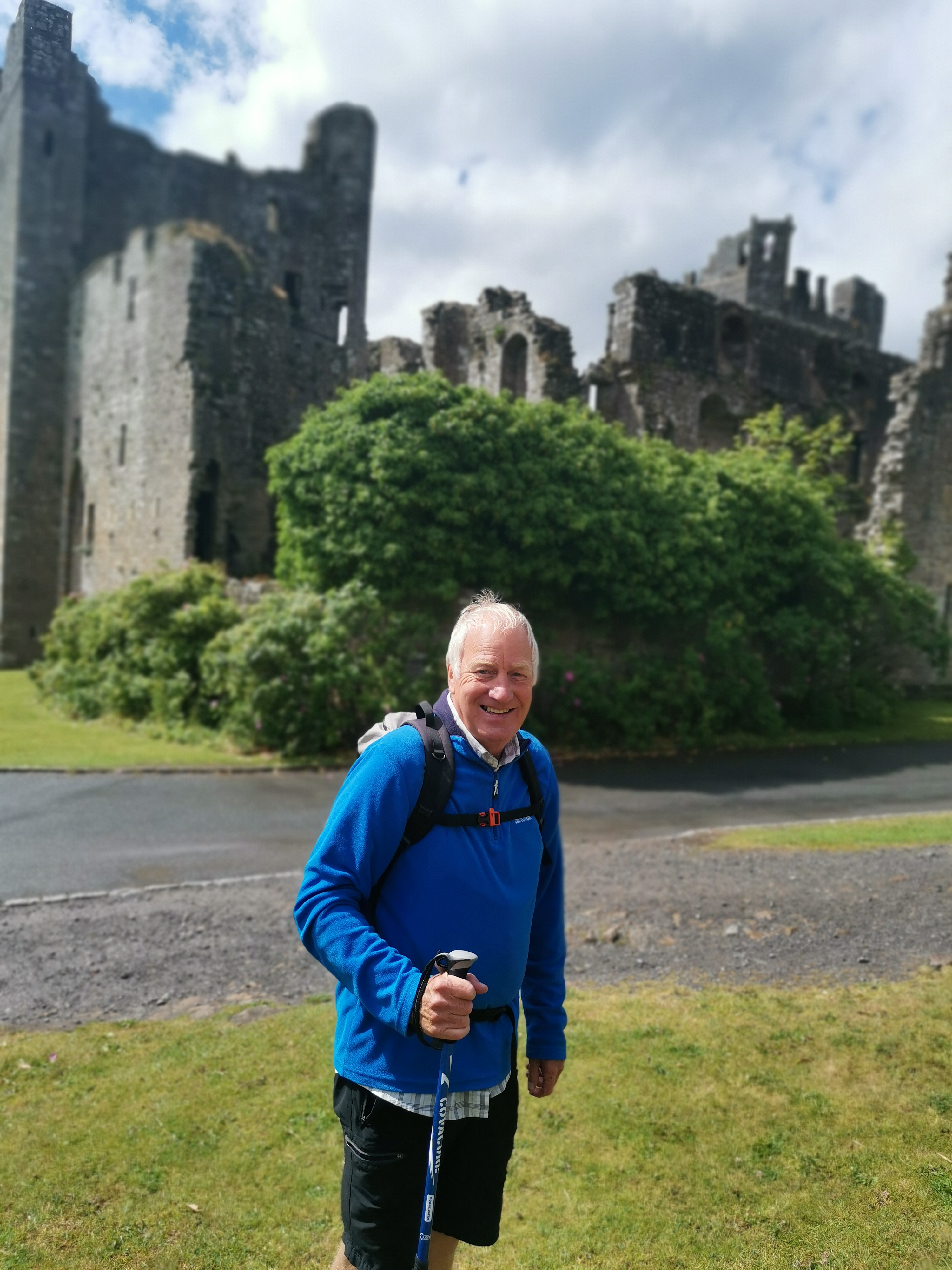
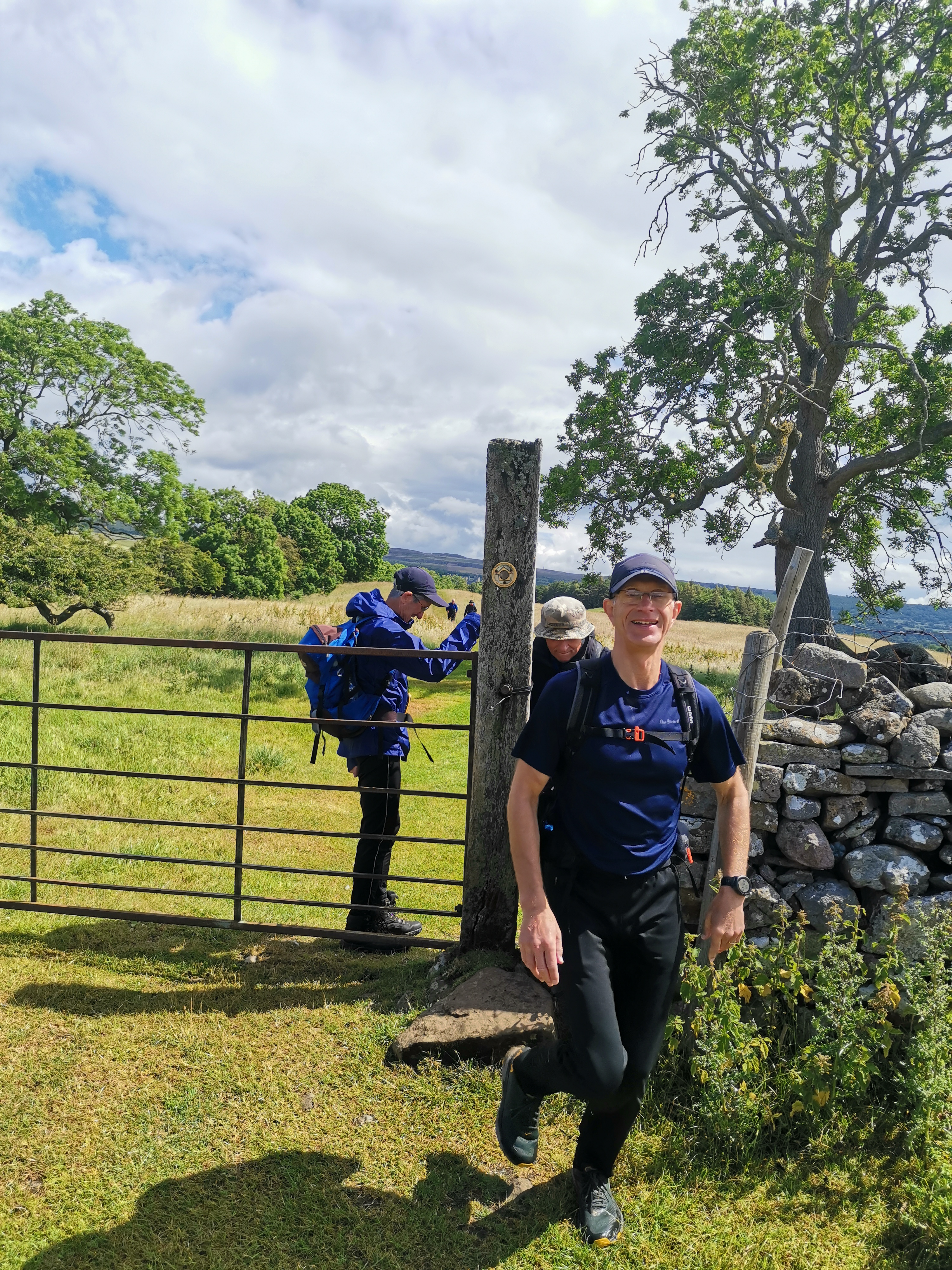
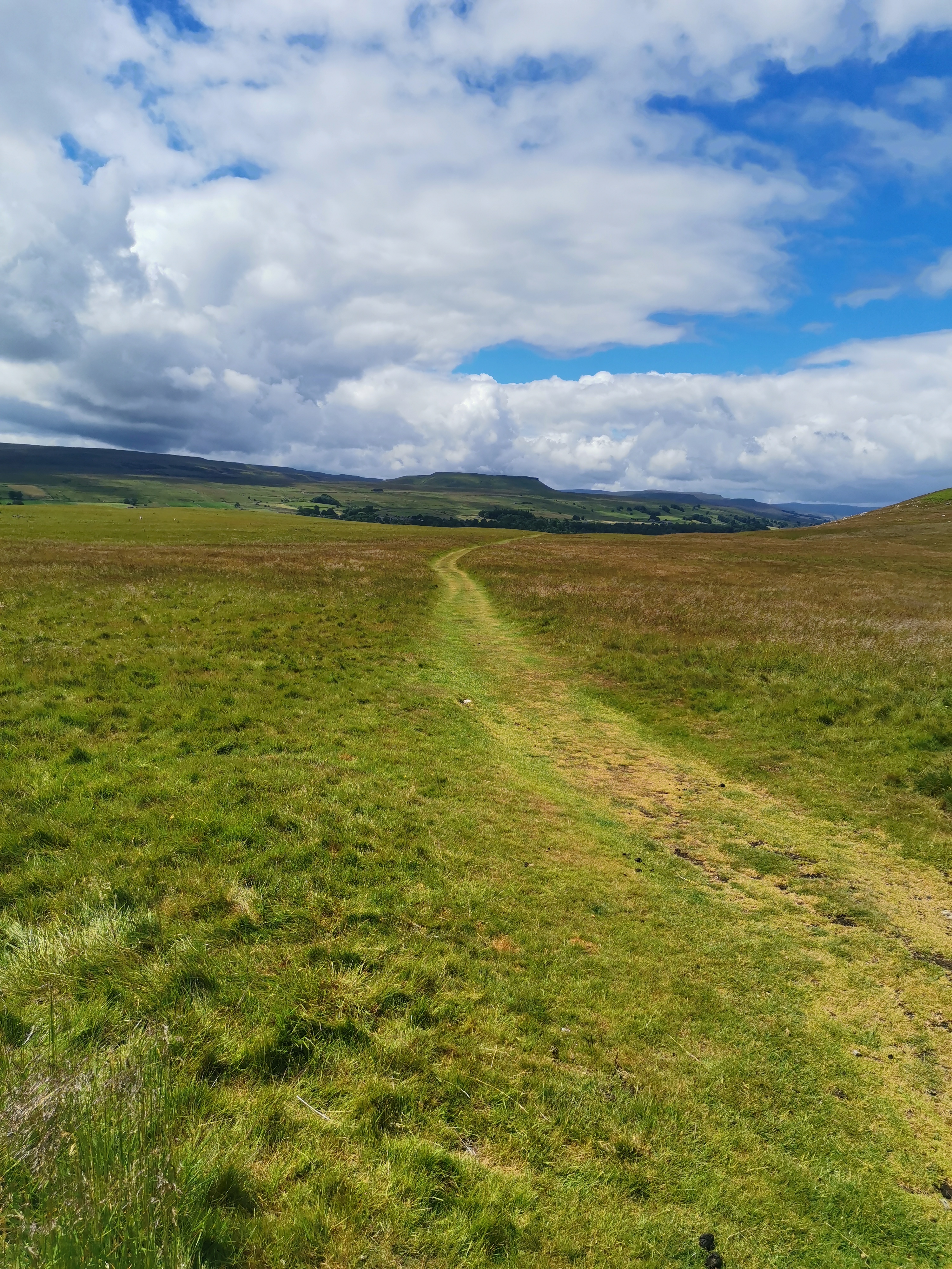
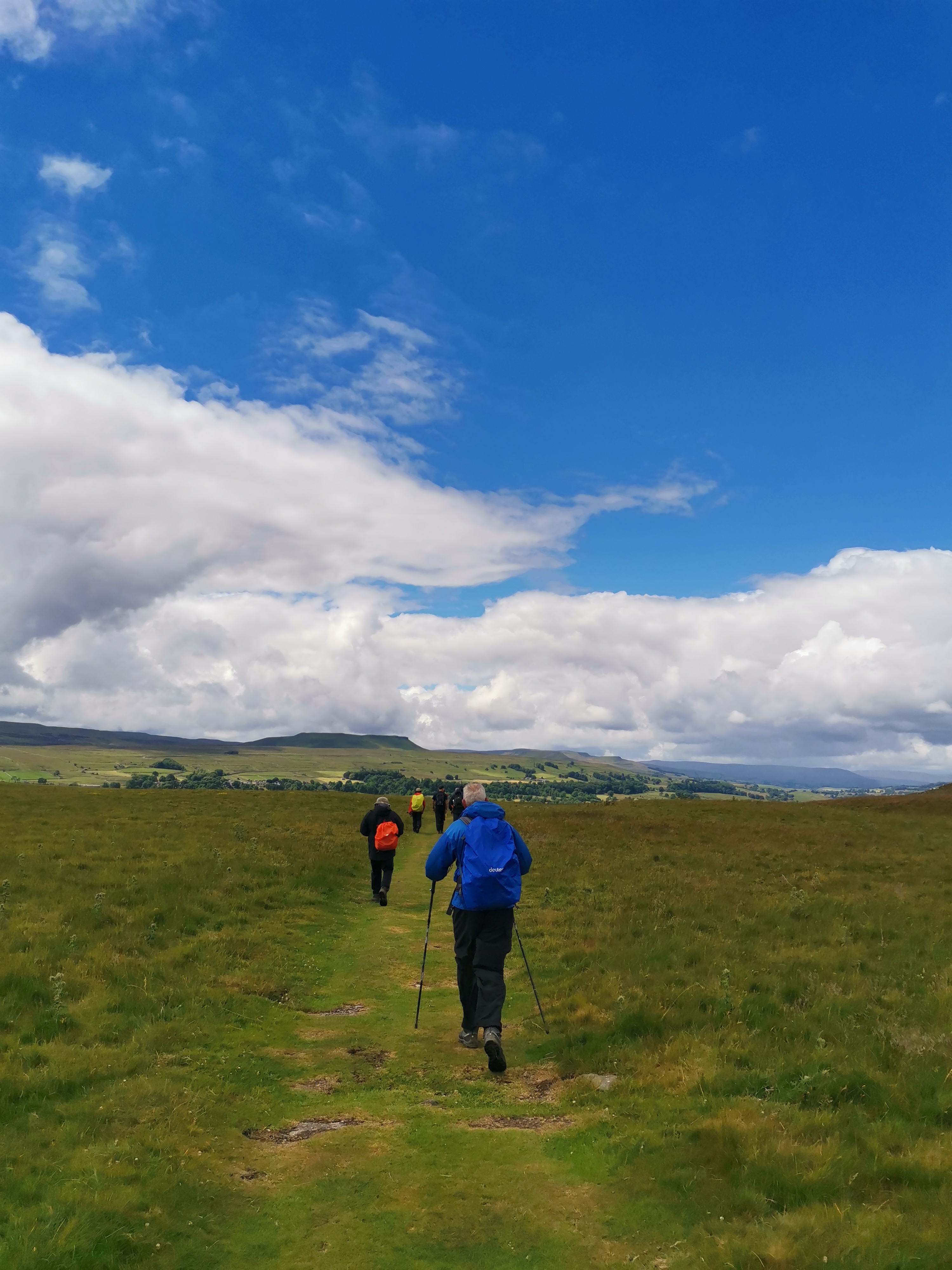
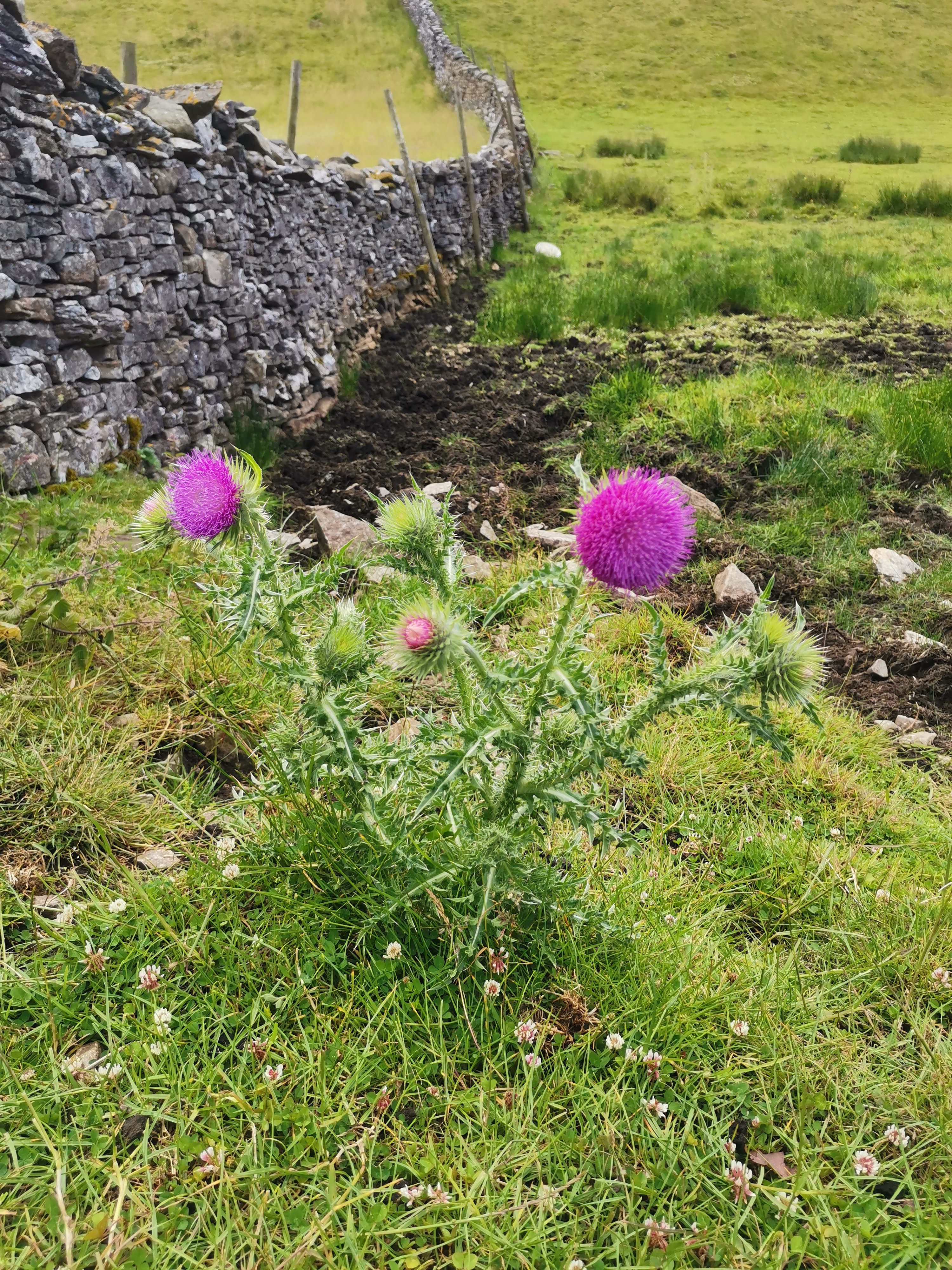
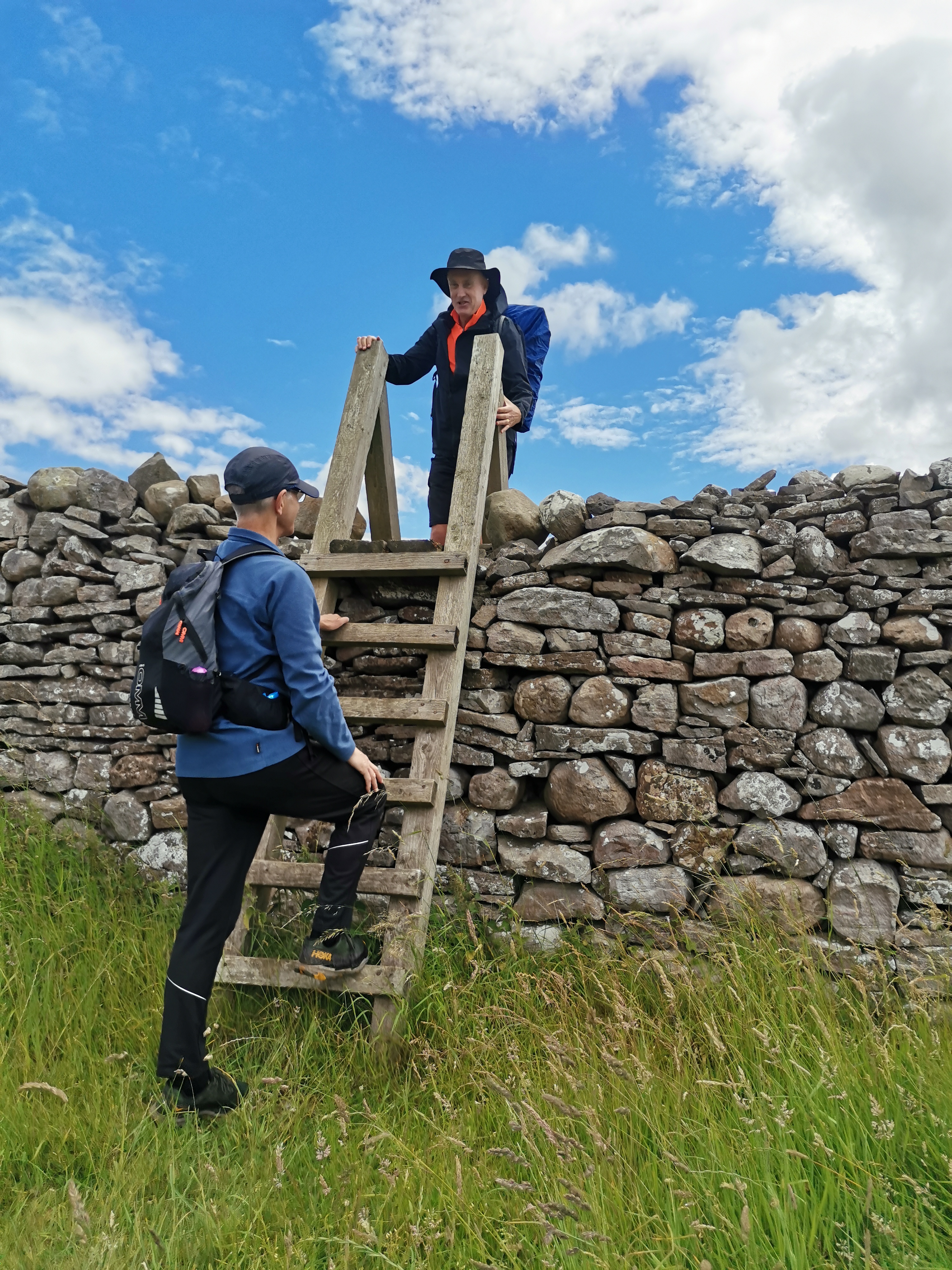
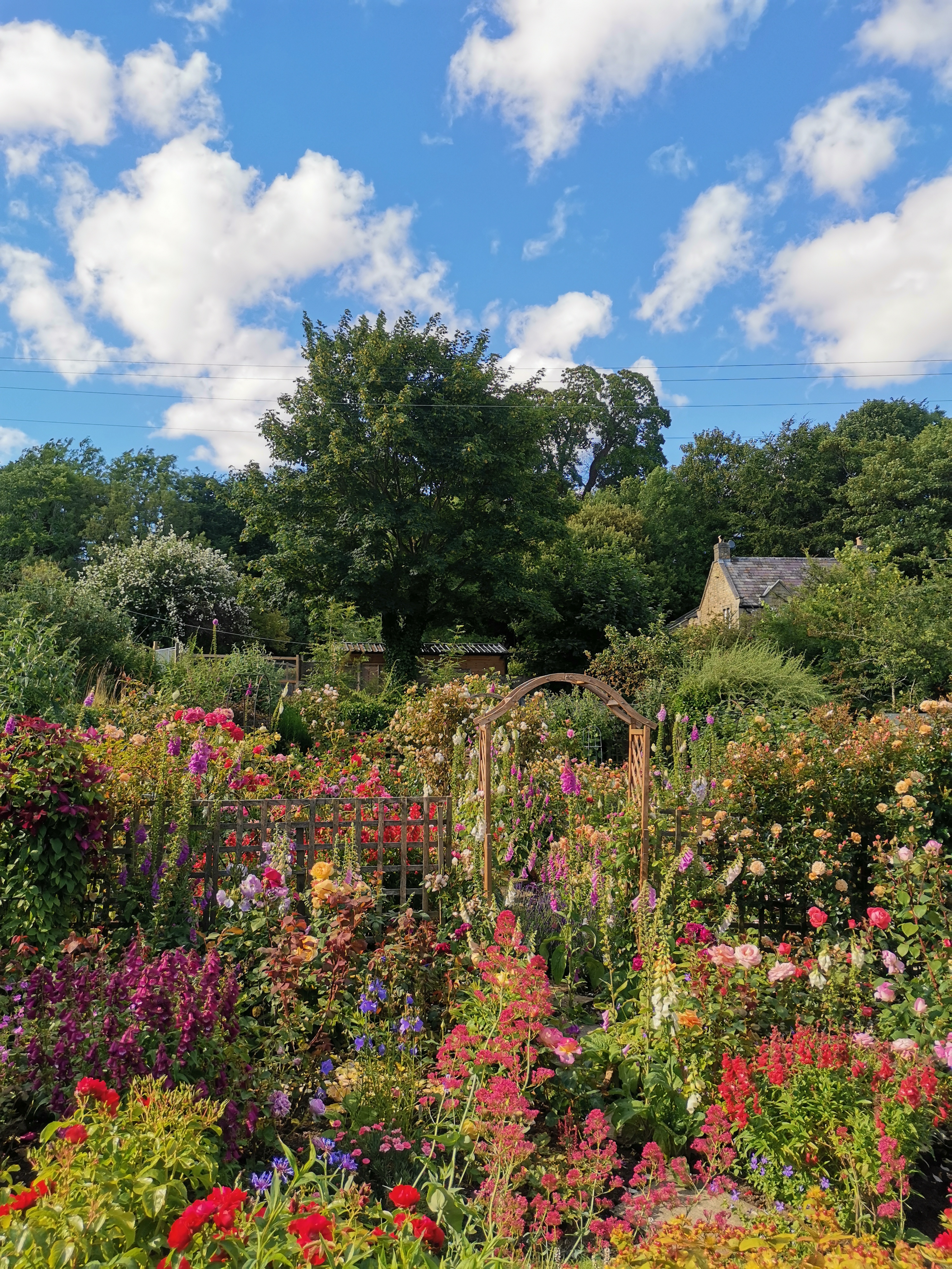
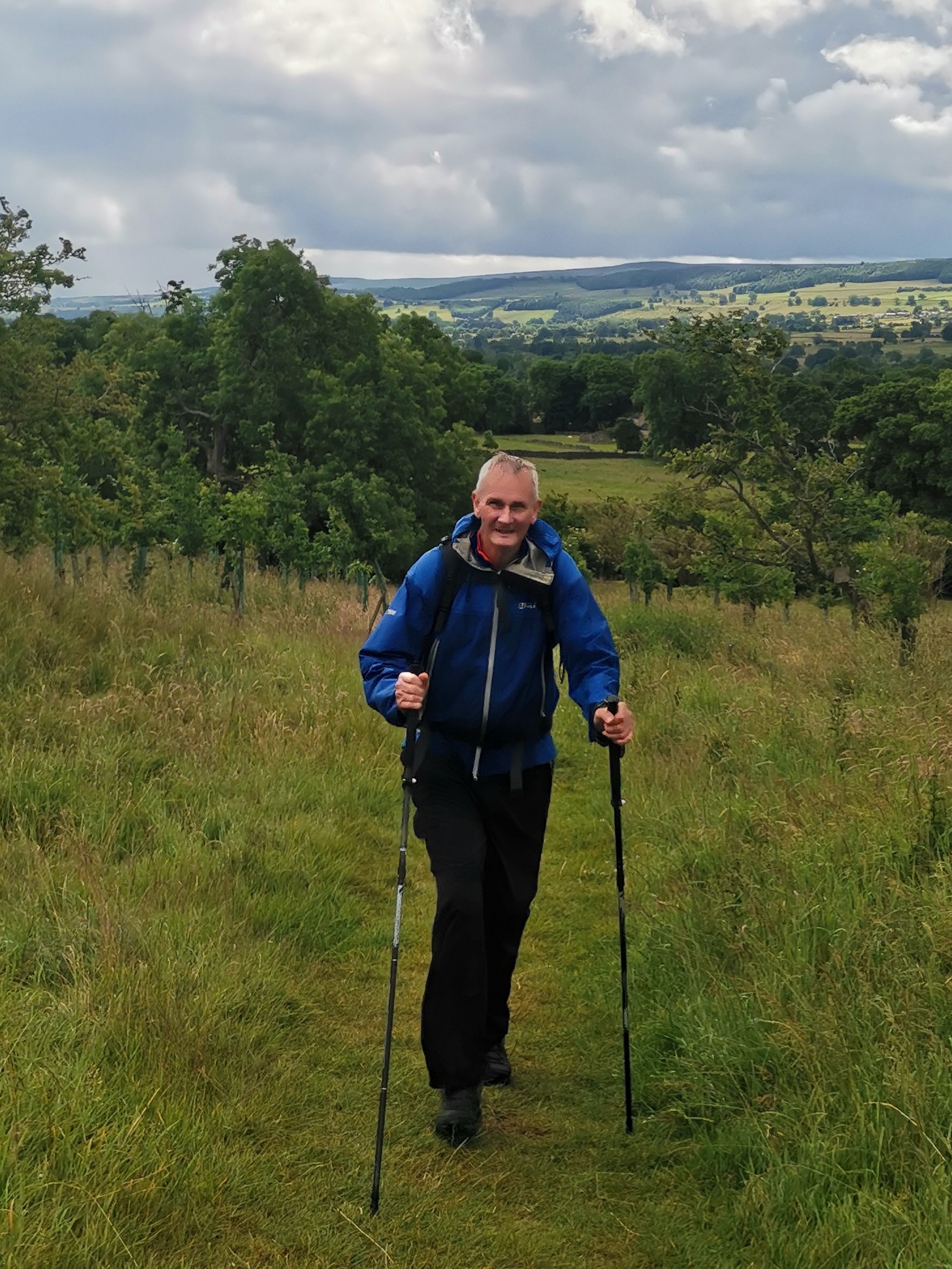
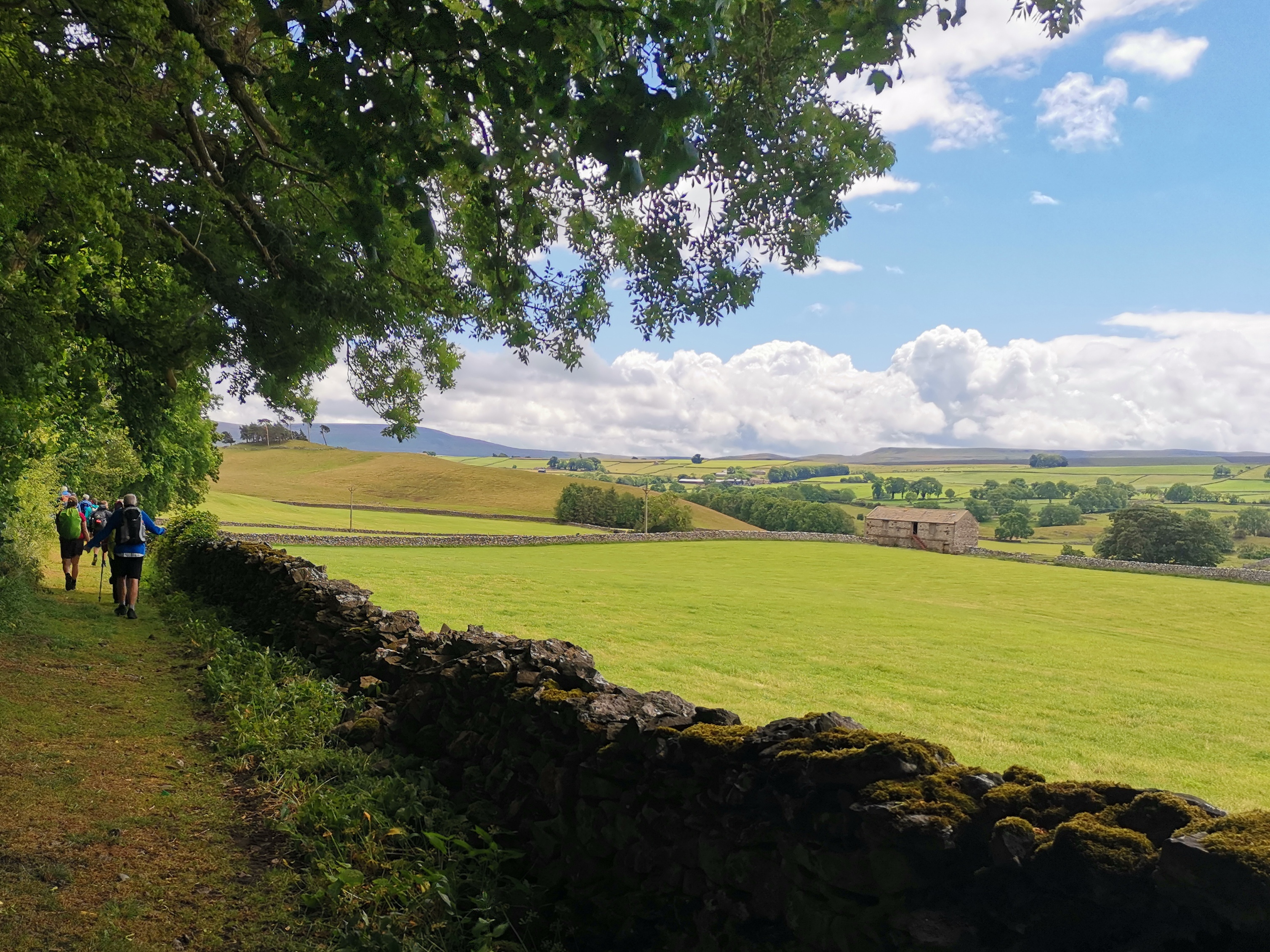
Walk Report
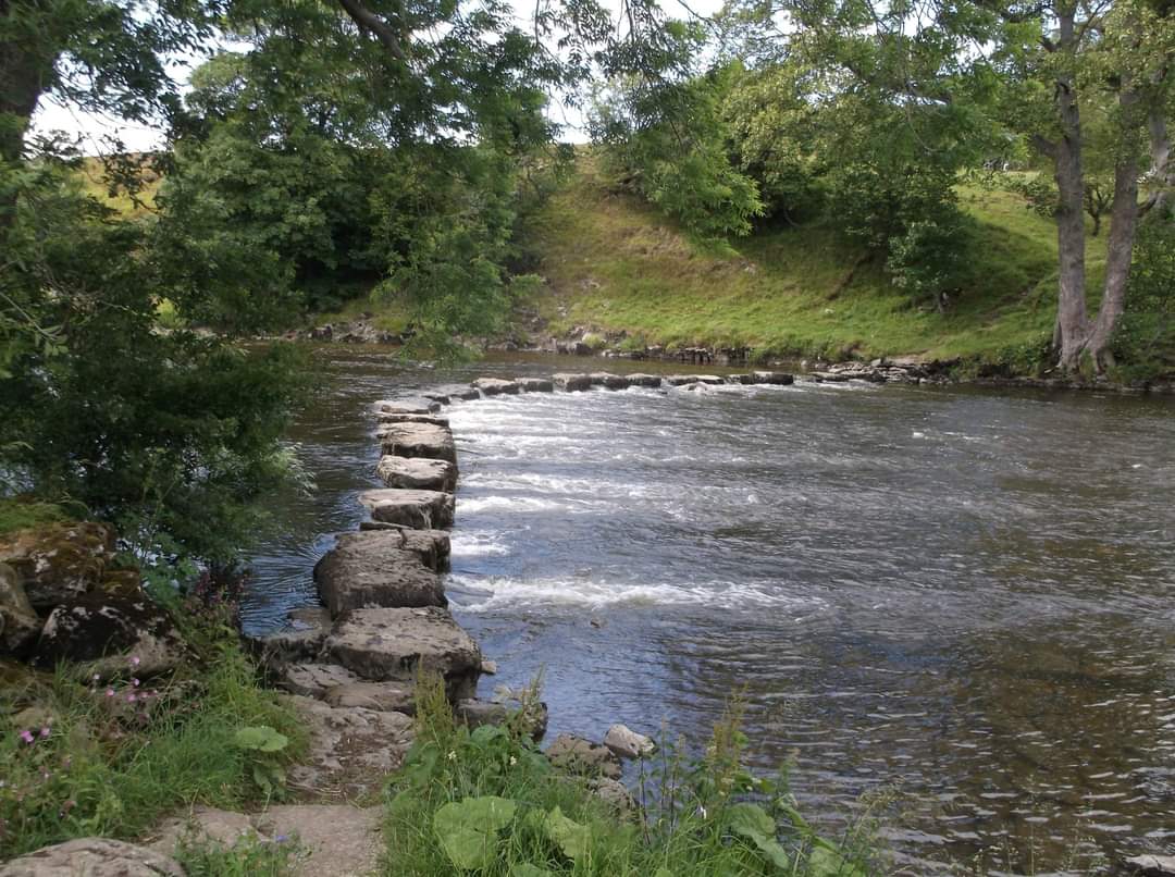
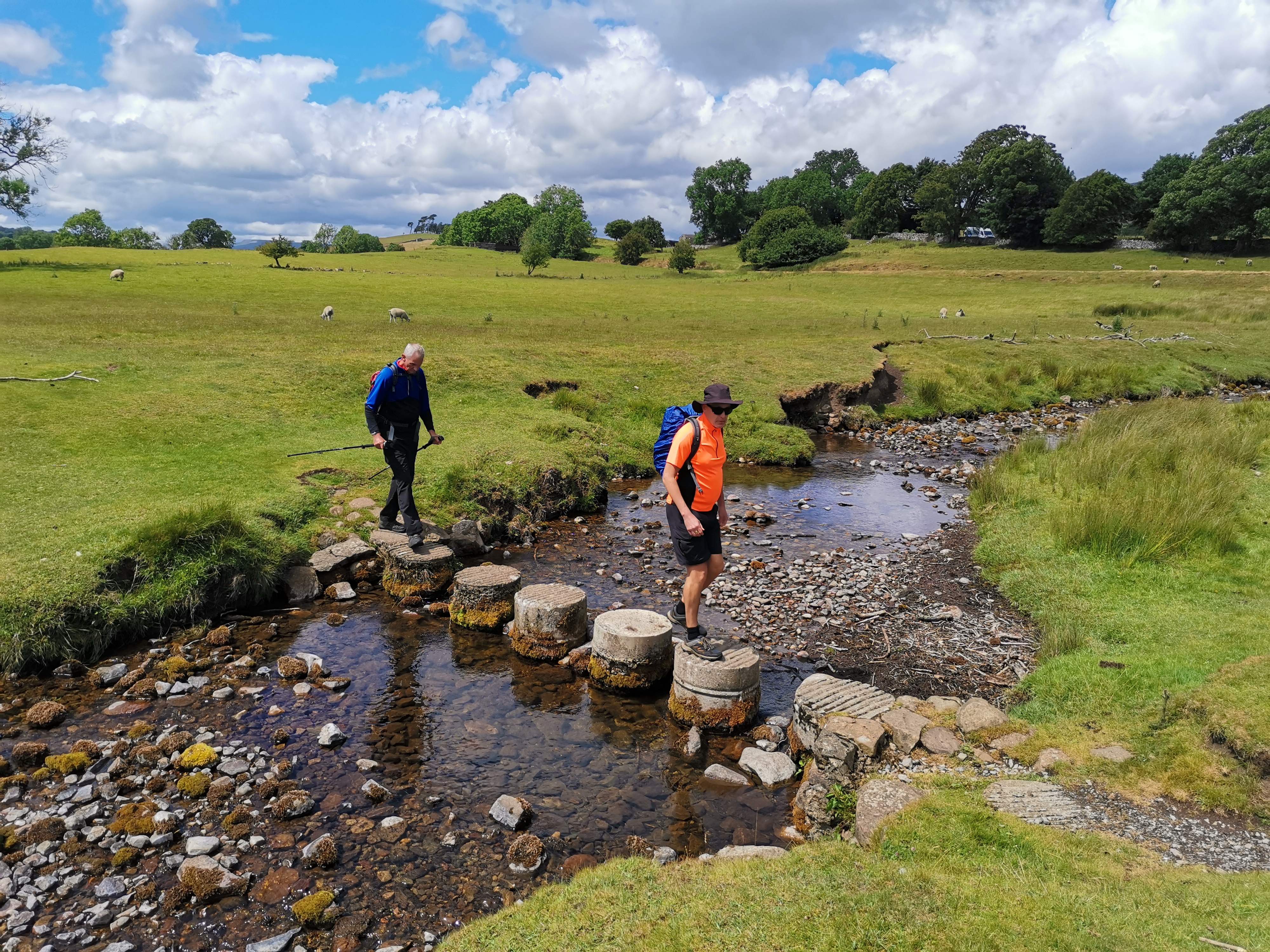
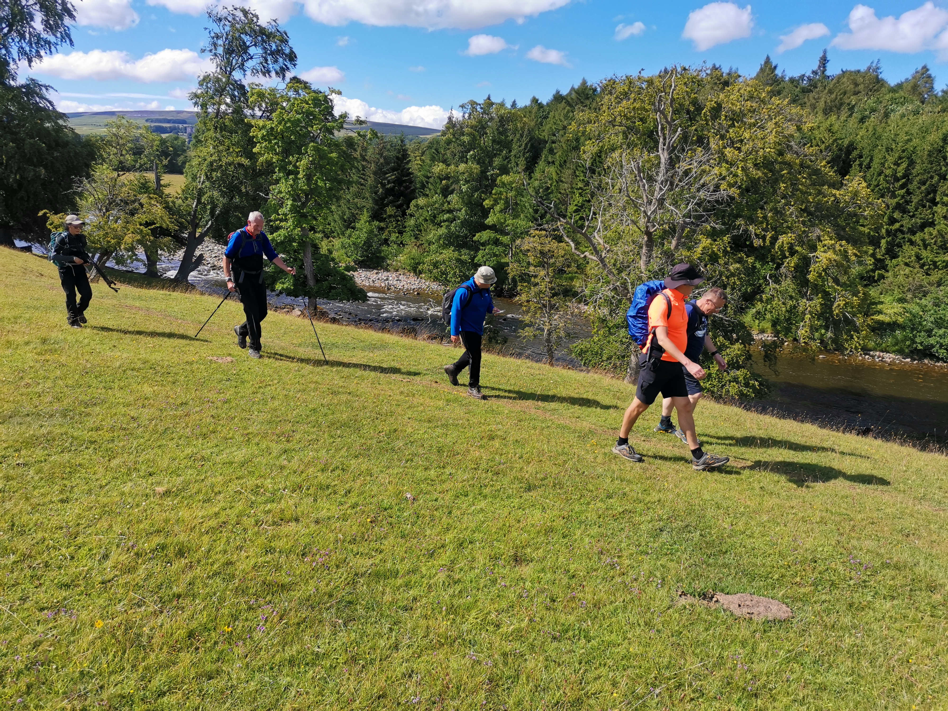
There are some impressive stepping stones across the River Ure at SD032896. I only say this because I saw them afterwards on a Liyang photo. I didn't see them at the time, as we didn't actually cross them, we just continued our walk along the South bank. Will have to go back some stage and go across those stepping stones. 22 miles in the end. Many thanks to Dennis Walker for preparing and leading this superb walk. ( Paul Nellist )Other Files
GPX
A GPX file of the above route may be downloaded by clicking the link below.
Note: GPX files of Group Walks are created by LDWA Group members, and may be downloaded only by other LDWA members. They should not be made available outside the LDWA, and are used at members' own risk.
Login to Download (Members Only)You can use the interactive controls to zoom in and out and to move around the map, or click on a path or a marker for more info. (interactive map help)
You can use the interactive controls to zoom in and out and to move around the map, or click on a path or a marker for more info. (interactive map help)
© OpenStreetMap contributors under Open Database Licence
Rights of way data from selected Local Authorities
Large scale digital mapping is provided by John Thorn
At high zoom levels the route is indicative only.
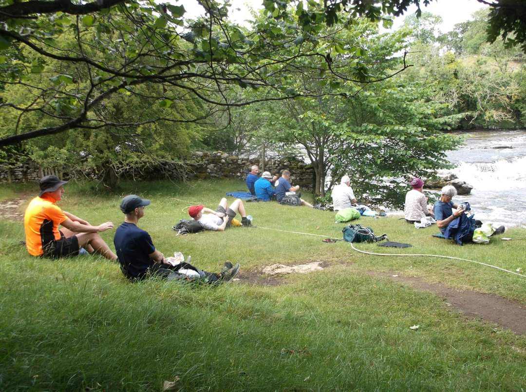
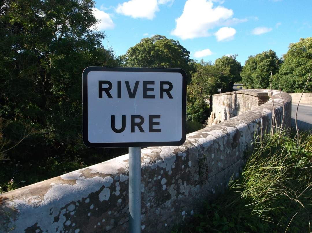
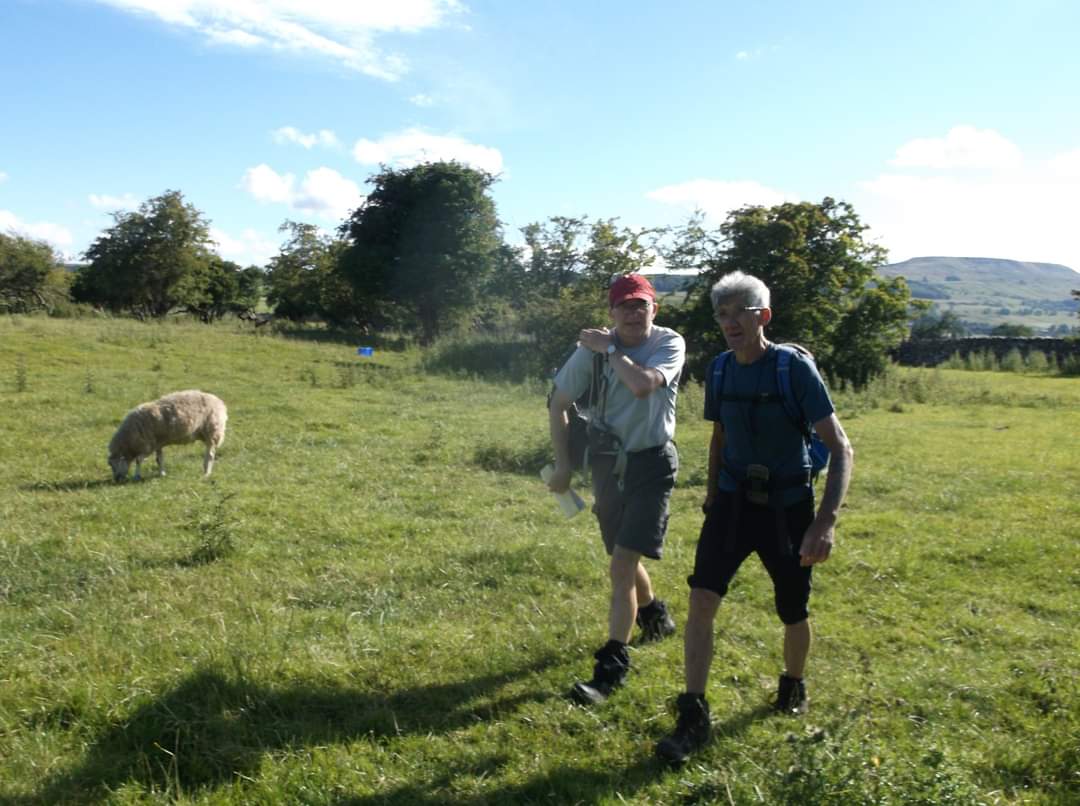
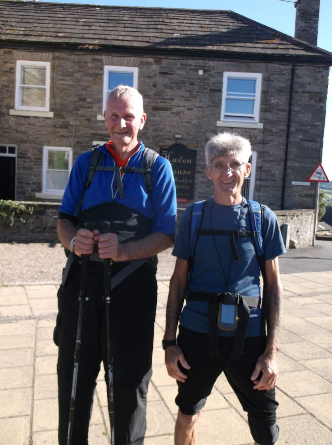
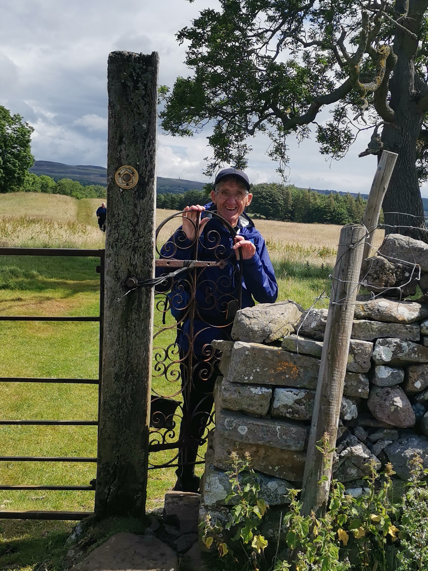
Gallery
Maps:
You can use the interactive controls to zoom in and out and to move around the map, or click on a marker for more info. (interactive map help)
© OpenStreetMap contributors under Open Database Licence.
Rights of way data from selected Local Authorities.
Large scale digital mapping is provided by John Thorn.


