
The Teeside Matterhorn
Sat 29th Oct 2022
Walk Details:
Circular 20 mile walk with 3600 ft of ascent: Rosebery Topping, highcliff nab, Commondale, Baysdale, Kildale, return via captain cooks monument
Entry Details:
Walk Report
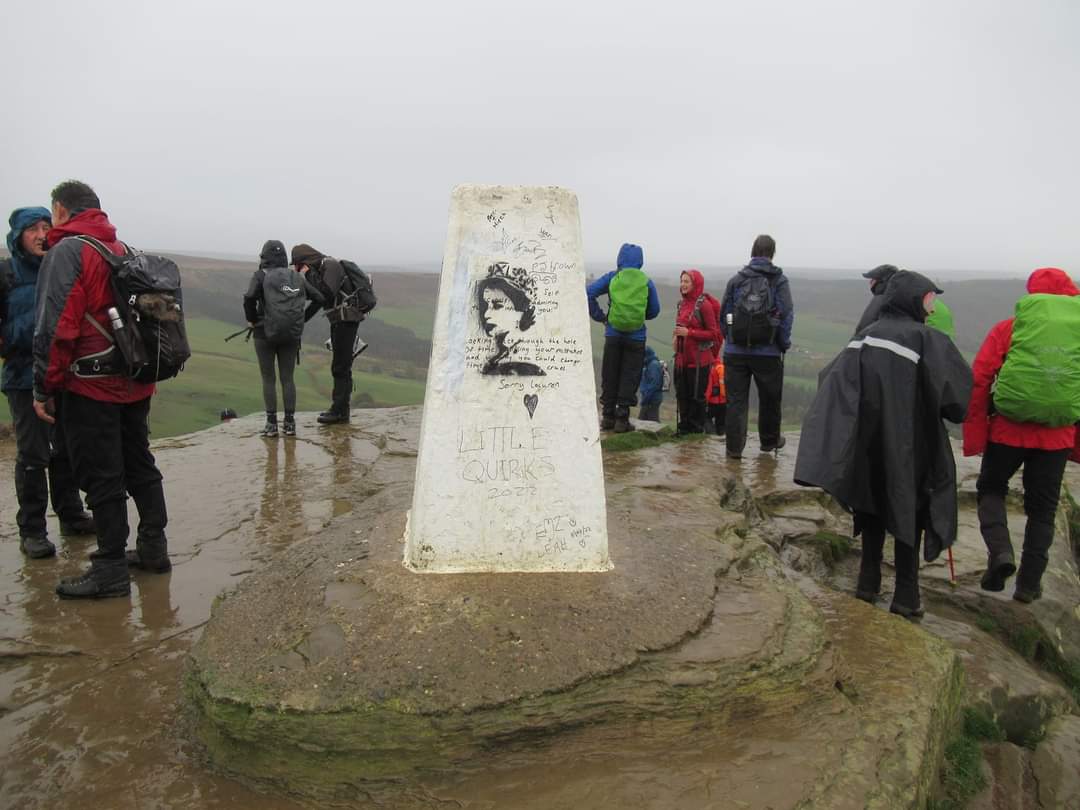
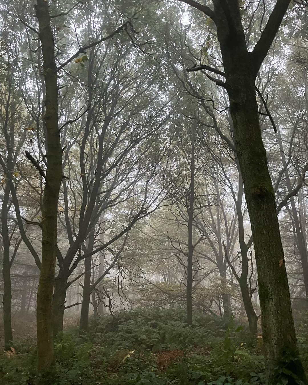
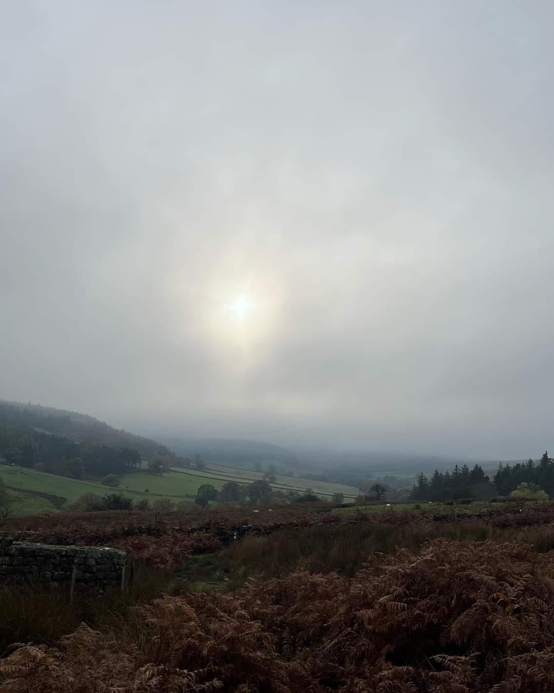
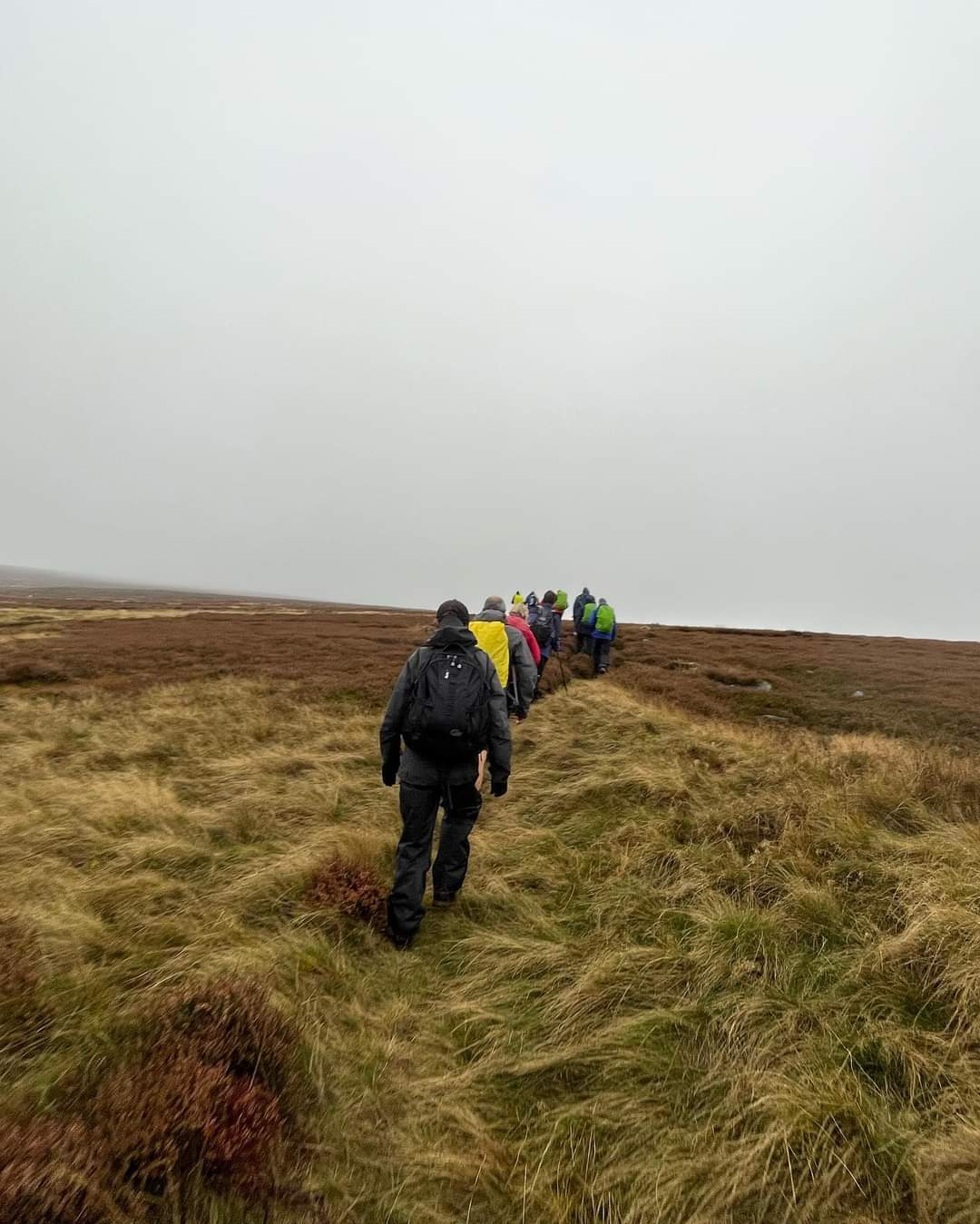
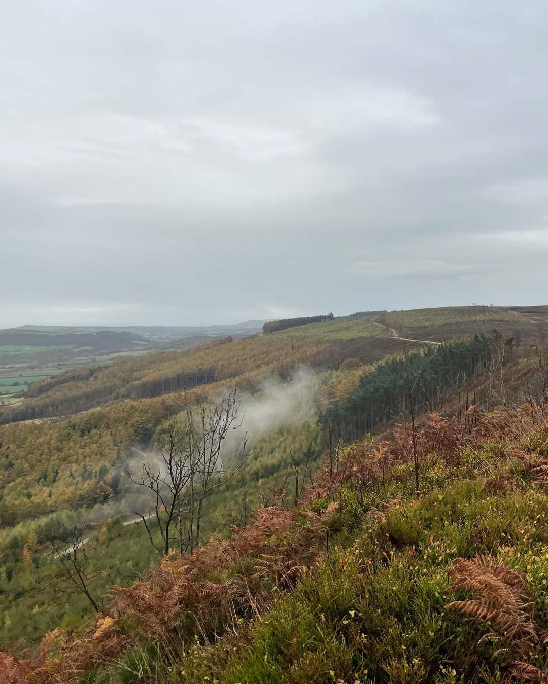
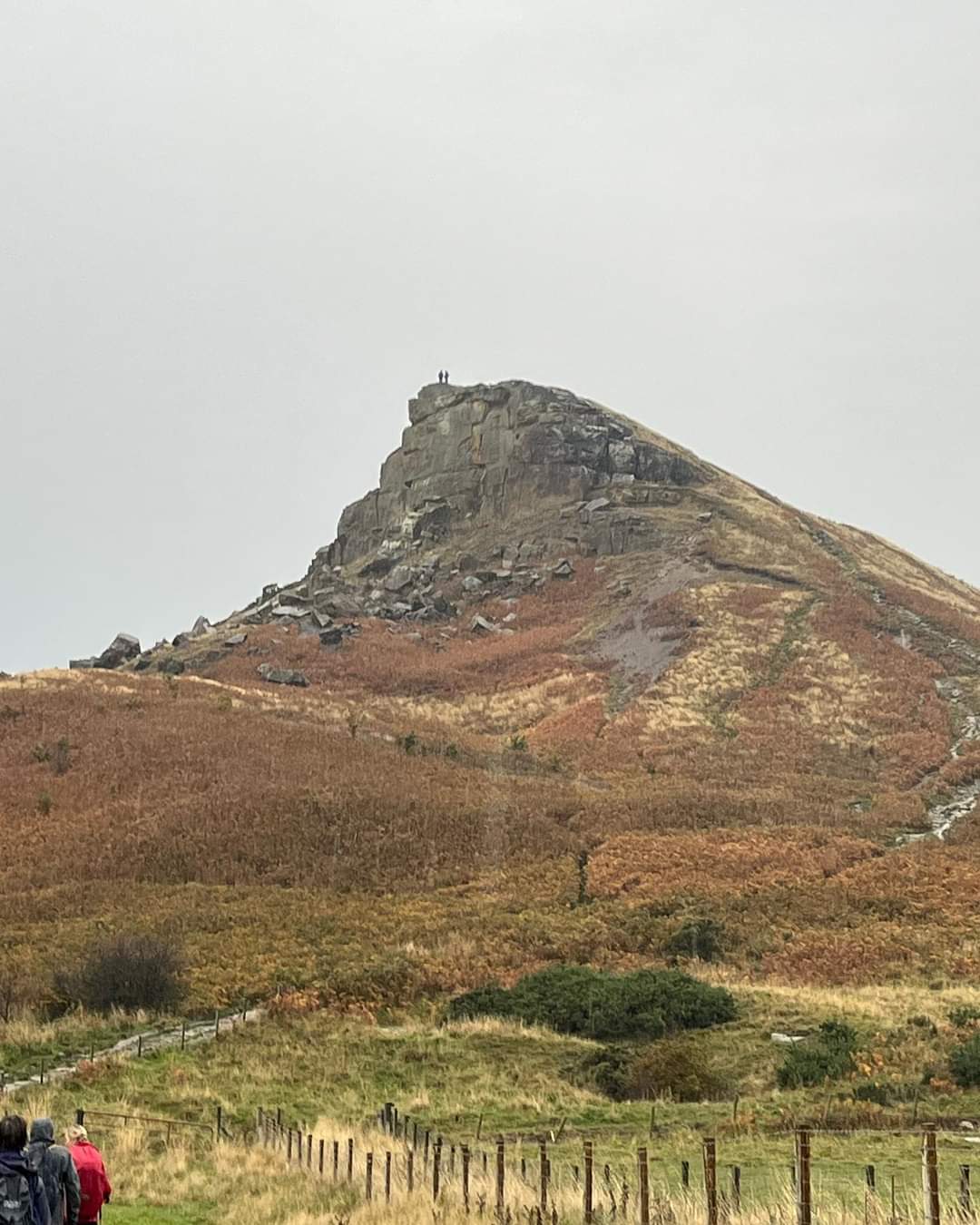
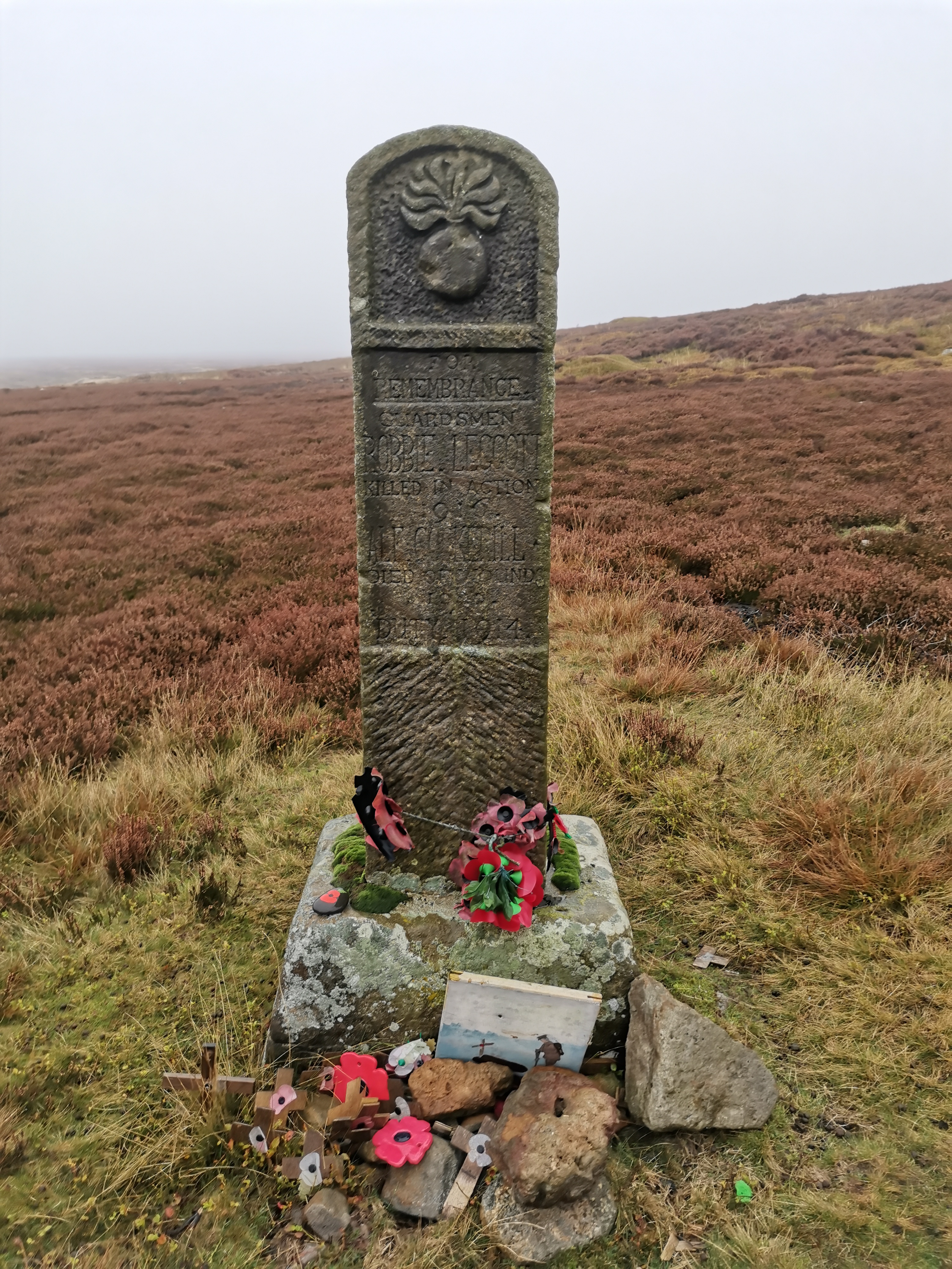
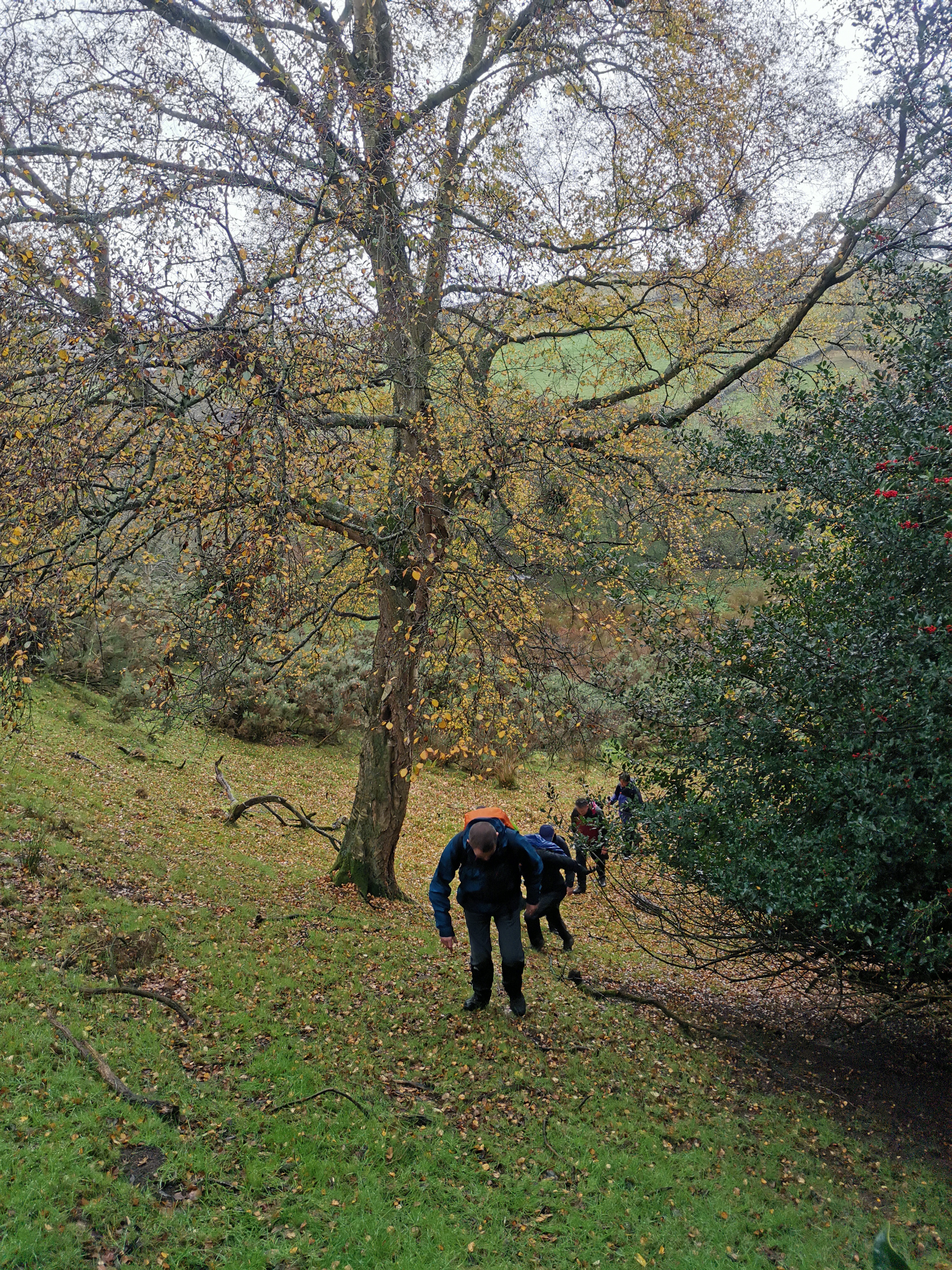
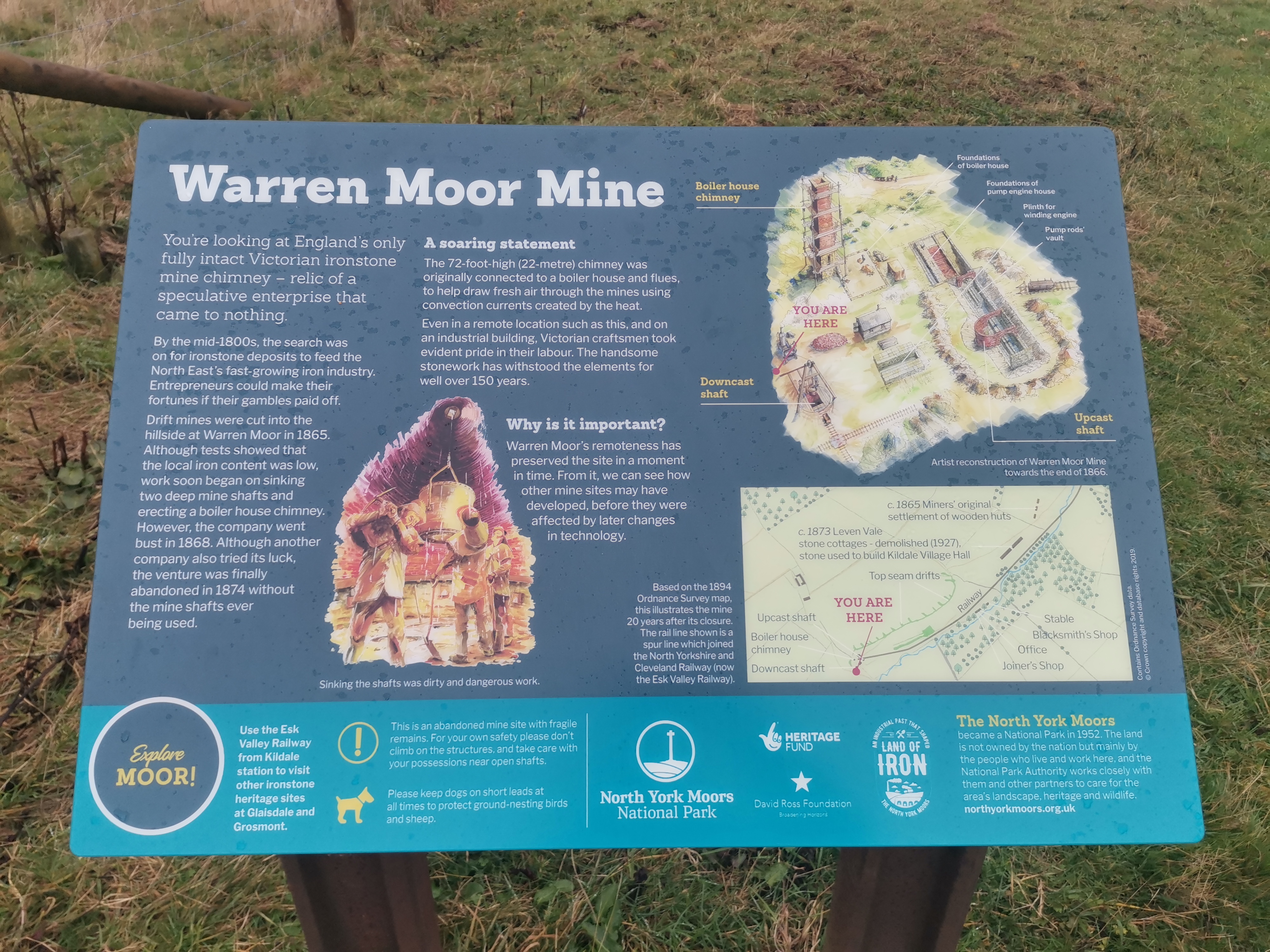
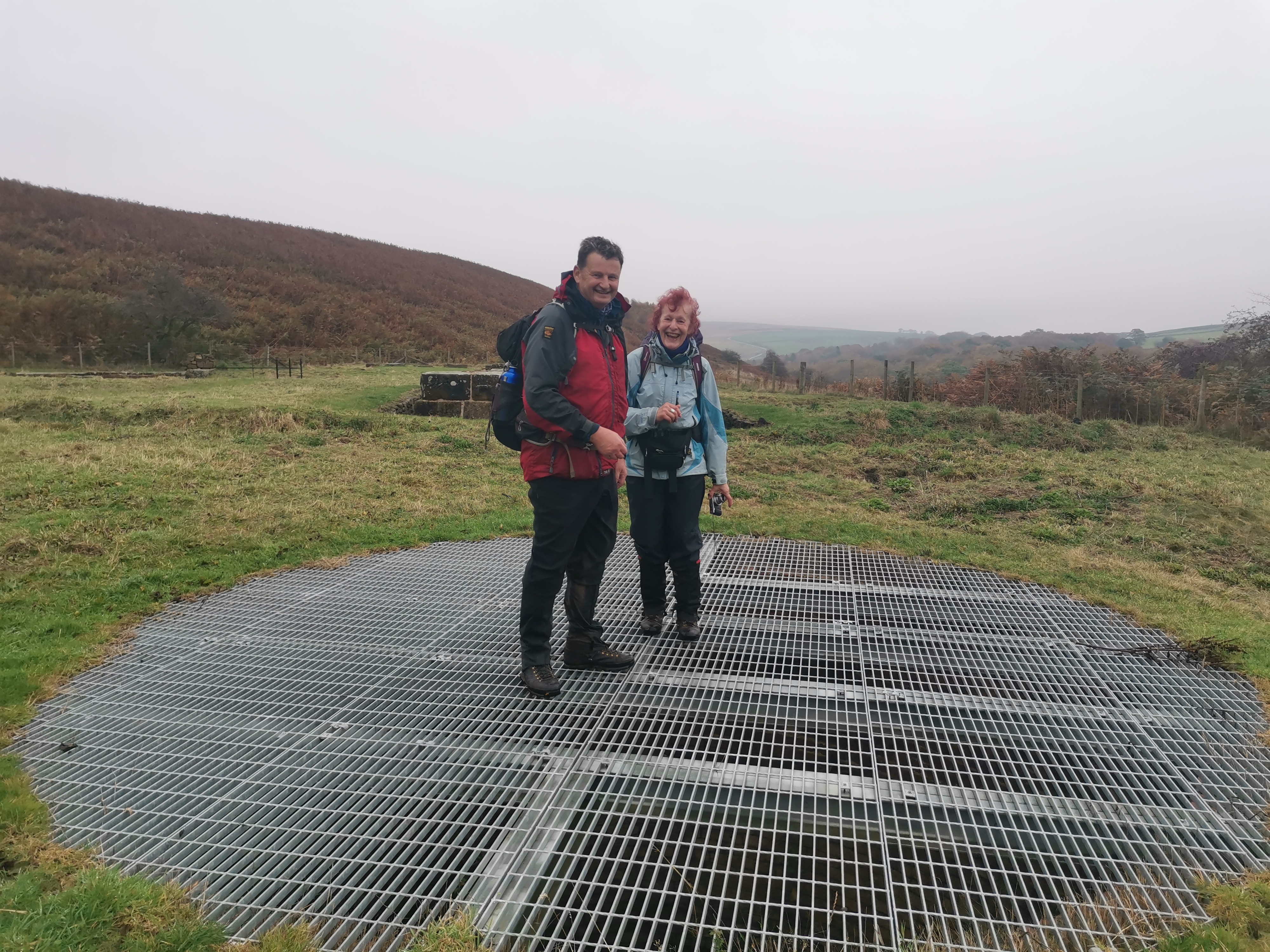
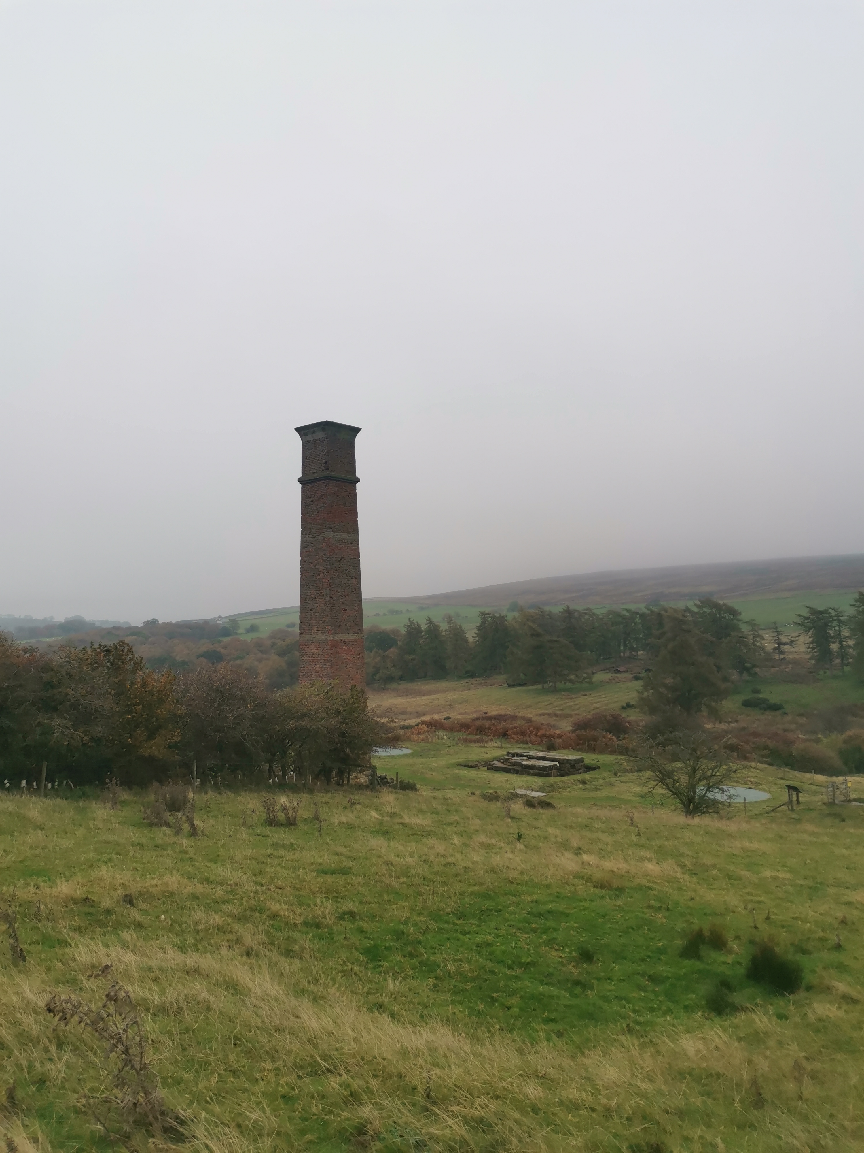
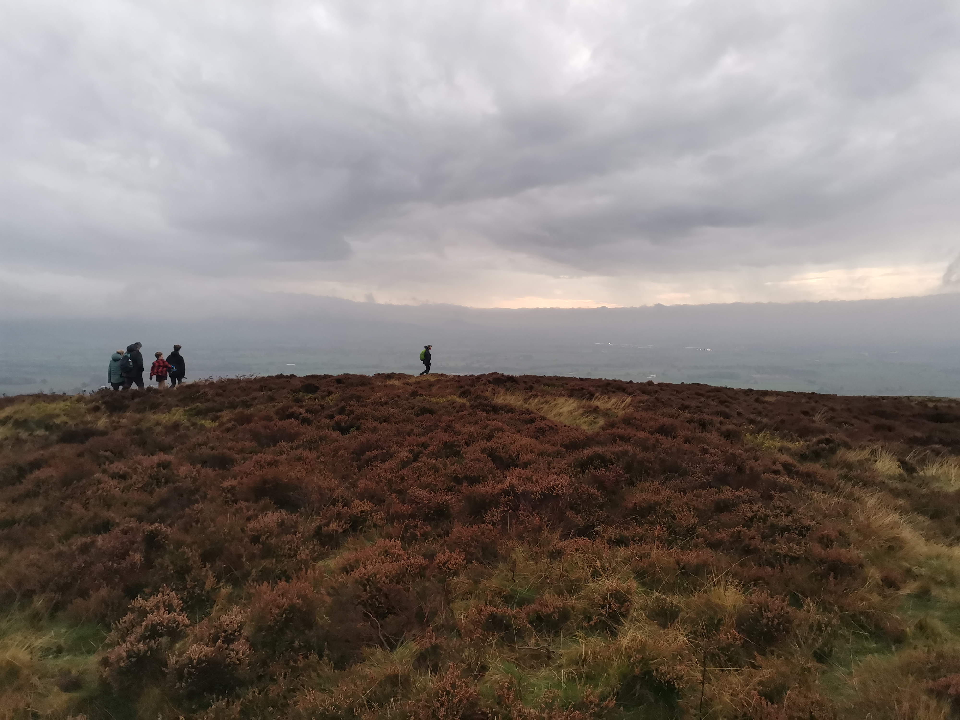
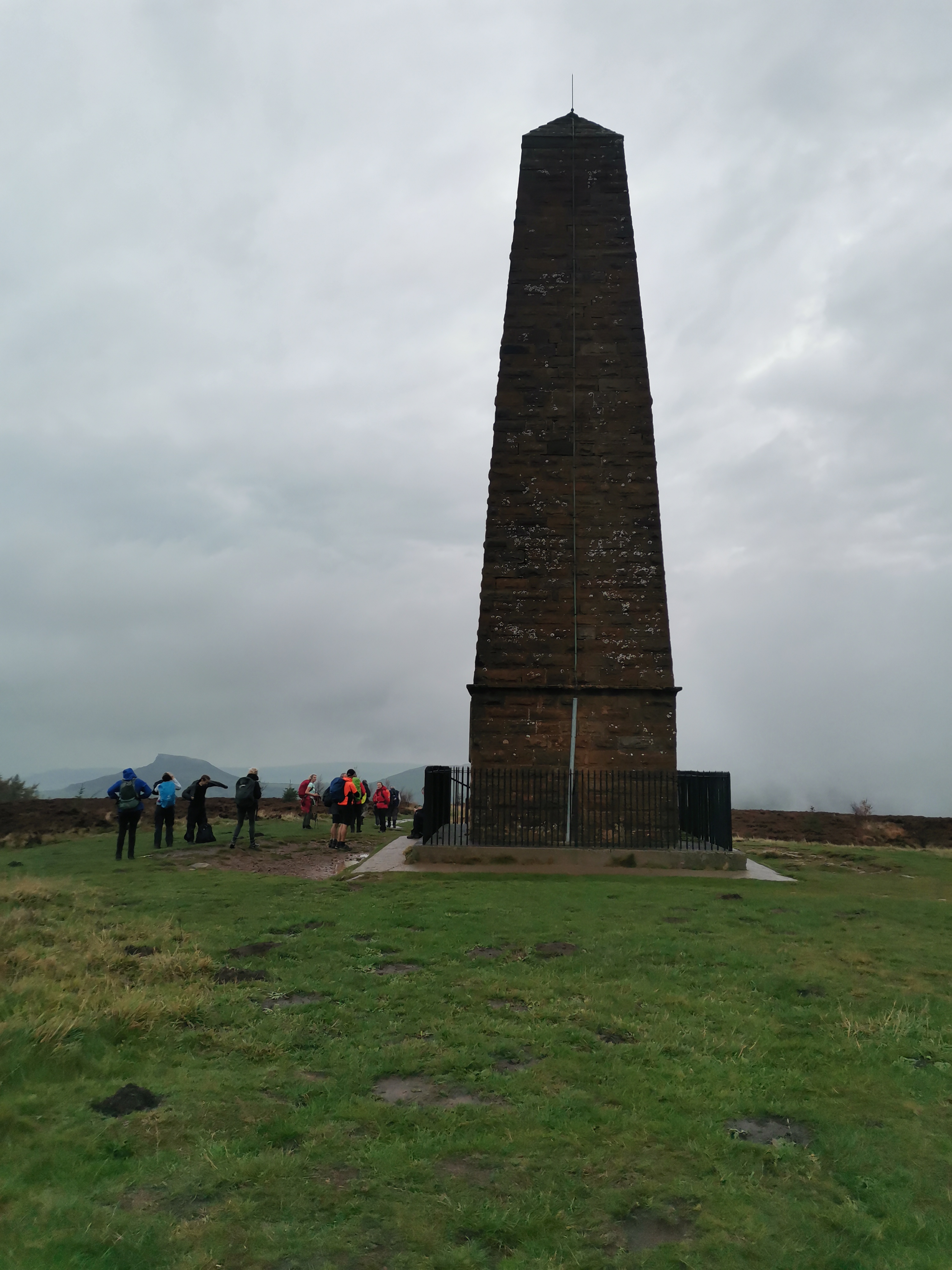
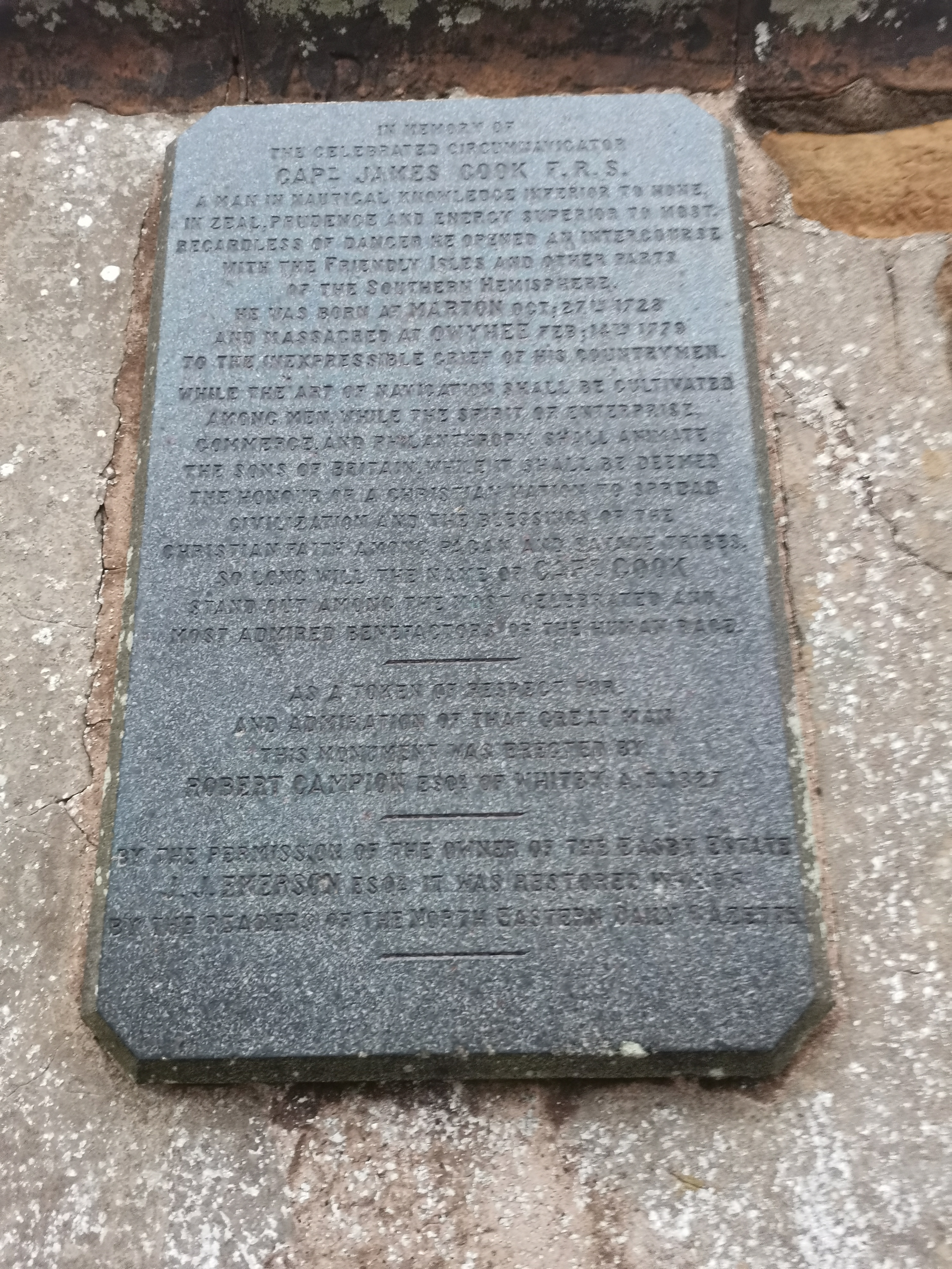
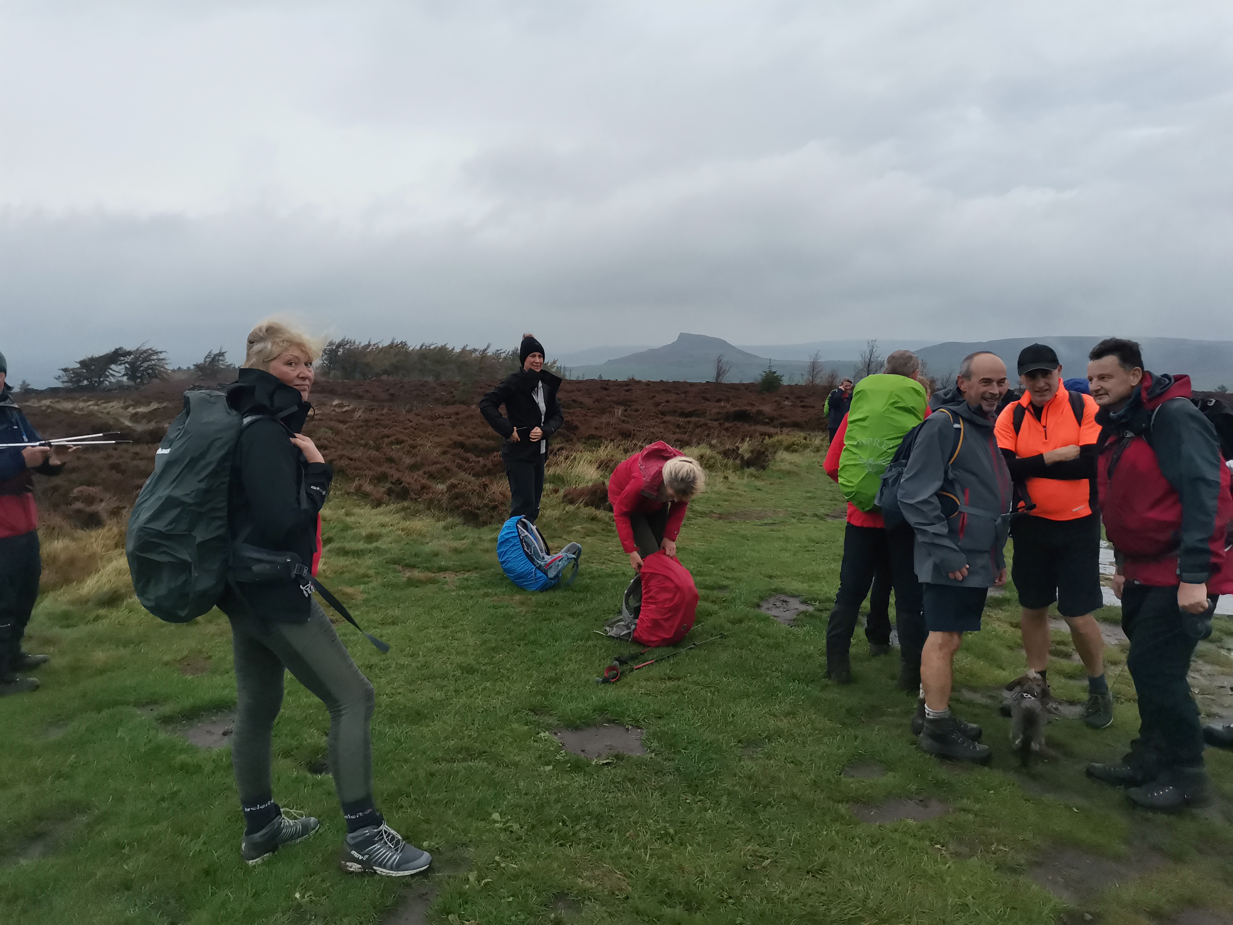
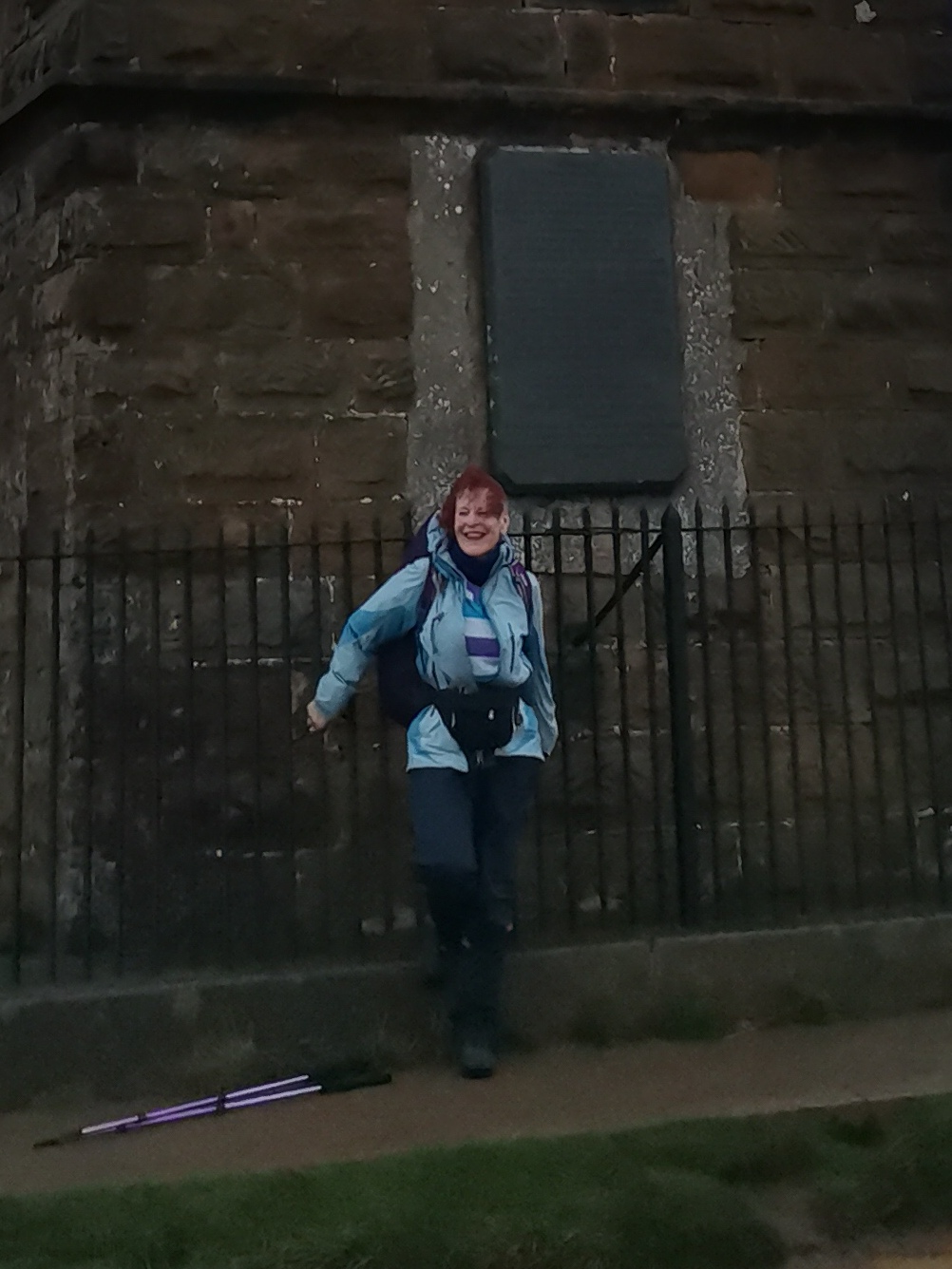
In spite of the unpromising forecast, last Saturday saw a good sized group of us gathering at the car park at Gribdale Gate above Great Ayton for a circular 20 mile walk with 3600 ft of ascent. We were climbing the 'Teesside Matterhorn'. I'd admired the spectacular view of Roseberry Topping from a distance whenever in the area, usually travelling to and from Whitby, but never climbed it, so any inclement weather was not going to deter me. In fact the current profile dates back to 1912 and is the direct result of the extraction of ironstone from beneath the hill that caused the west face to collapse. Prior to this, apparently, it had a 'sugar loaf' appearance, its distinctive conical shape being the result of the hill's hard sandstone cap protecting the underlying shales and clays from erosion You learn something every day!! The first spots of rain began even as we set off through Cliff Ridge Wood, noted for its ancient trees, and was quite wetting. The misty murk did deny us the glorious long distance views we'd expected from the top but could still be enjoyed. The curious building that appears to be just a folly on a grassy plateau passed over on the climb to the summit is a shooting box built in the late 18th Century for Captain Wilson, friend of Captain Cook. It was built to shelter members of the local gentry who visited this spot for picnics and shooting. From there we walked on to Highcliff Nab looking over Guisborough and beyond, where we paused for a break. Thereafter we followed tracks over the North York Moors, following in part throughout the walk sections of the Cleveland Way, before dropping down to Commondale Village, 10 miles into the walk. The rain had eased and we sat on a grassy bank by the cenotaph under the spreading bows of a large tree. Unfortunately the wet had affected my camera zoom and I struggled to persuade it to open to take any photos after the early part of the walk. From moorland, through woodland with rich, glorious autumn colour, beside cultivated fields and along grassy tracks and embankments, we made our way to Baysdale and Kildale. The boiler house chimney near Kildale on the Kildale Estate was built in 1866 to vent the Warren Moor ironstone mine. It remains a reminder of one of many ventures searching for ironstone deposits to feed the rapidly expanding iron-making industry of the mid-19th century in the northeast especially in the Middlesbrough area. This venture had begun in spite of the poor test results for the Kildale Estate, but the planned shaft mine never started actual production and the site was closed by 1874. Our return was via the climb to Captain Cook's monument with views across to Roseberry Topping and over Cleveland. This sting in the tail certainly brought a rosy colour to my face! The monument was erected in 1827 by Robert Campion, a banker from Whitby in memory of the famous circumnavigator. James Cook was born at Marton 27th October 1728, lived in Great Ayton as a young boy "and (was) massacred at Owythee Feb. 14th 1779 to the inexpressible grief of his countrymen." The wonderful inscription begins "In memory of the celebrated circumnavigator Captain James Cook F.R.S. A man of nautical knowledge inferior to none, in zeal prudence and energy, superior to most.,,,,,," and ends ".... so long will the name of Captain Cook stand out amongst the most celebrated and most admired benefactors of the human race." The steady descent was through the woodland of Gribdale Gate and down to the car park. Many thanks to Steve Lee for planning the walk - such delightful varied terrain and scenery - and to Jim Arden for stepping in at last minute to lead the walk in Steve's enforced absence. (Hope you are feeling better, Steve). Of course no walk is complete without the usual liquid refreshment and craic, a number of us gathering at The Royal Oak in Great Ayton. Another great day and afterwards home for a soak, soup and to hit the sack! (Beryl Massey)Other Files
GPX
A GPX file of the above route may be downloaded by clicking the link below.
Note: GPX files of Group Walks are created by LDWA Group members, and may be downloaded only by other LDWA members. They should not be made available outside the LDWA, and are used at members' own risk.
Login to Download (Members Only)You can use the interactive controls to zoom in and out and to move around the map, or click on a path or a marker for more info. (interactive map help)
You can use the interactive controls to zoom in and out and to move around the map, or click on a path or a marker for more info. (interactive map help)
© OpenStreetMap contributors under Open Database Licence
Rights of way data from selected Local Authorities
Large scale digital mapping is provided by John Thorn
At high zoom levels the route is indicative only.
Gallery
Maps:
You can use the interactive controls to zoom in and out and to move around the map, or click on a marker for more info. (interactive map help)
© OpenStreetMap contributors under Open Database Licence.
Rights of way data from selected Local Authorities.
Large scale digital mapping is provided by John Thorn.


