
Barnard Castle - The Castle Gate
Sat 22nd Jan 2022
Walk Details:
Heading East along the Teesdale Way to Mortham Tower then South to Greta Bridge. Follow Greta Walk west to Bowes Castle. Then pick up the Pennine Way north to Ladyfold Rig, East via Kirkstrevelaog Rig to Battle Hill and back to Barny via Deepdale Beck.
Entry Details:
Walk Report
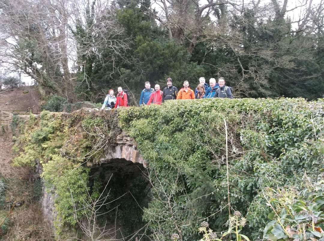
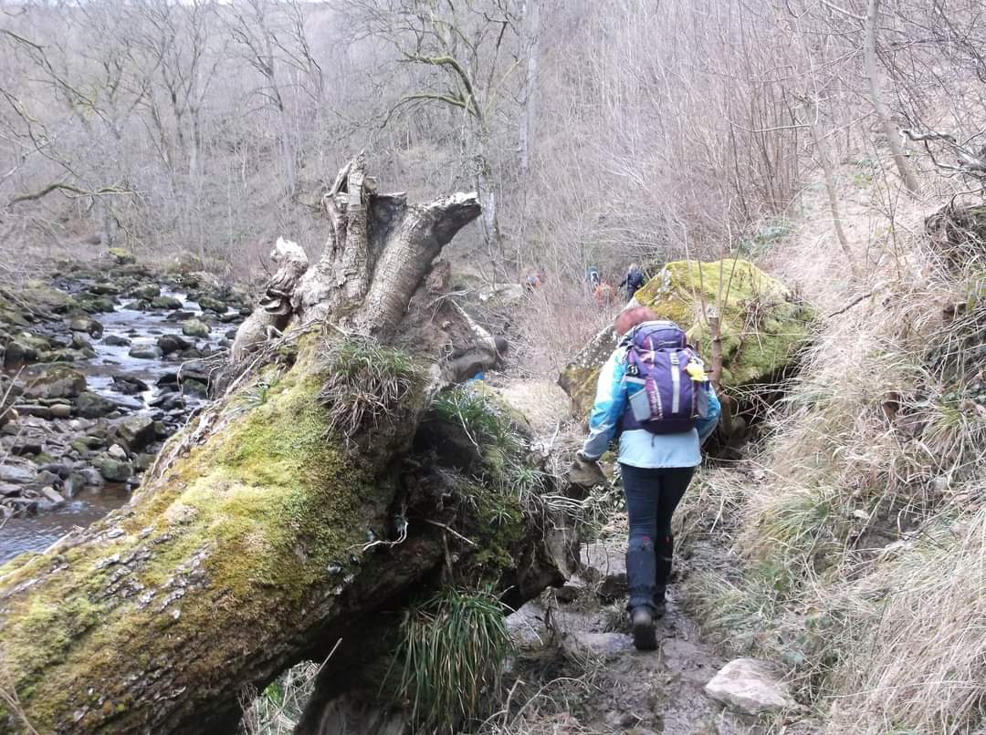
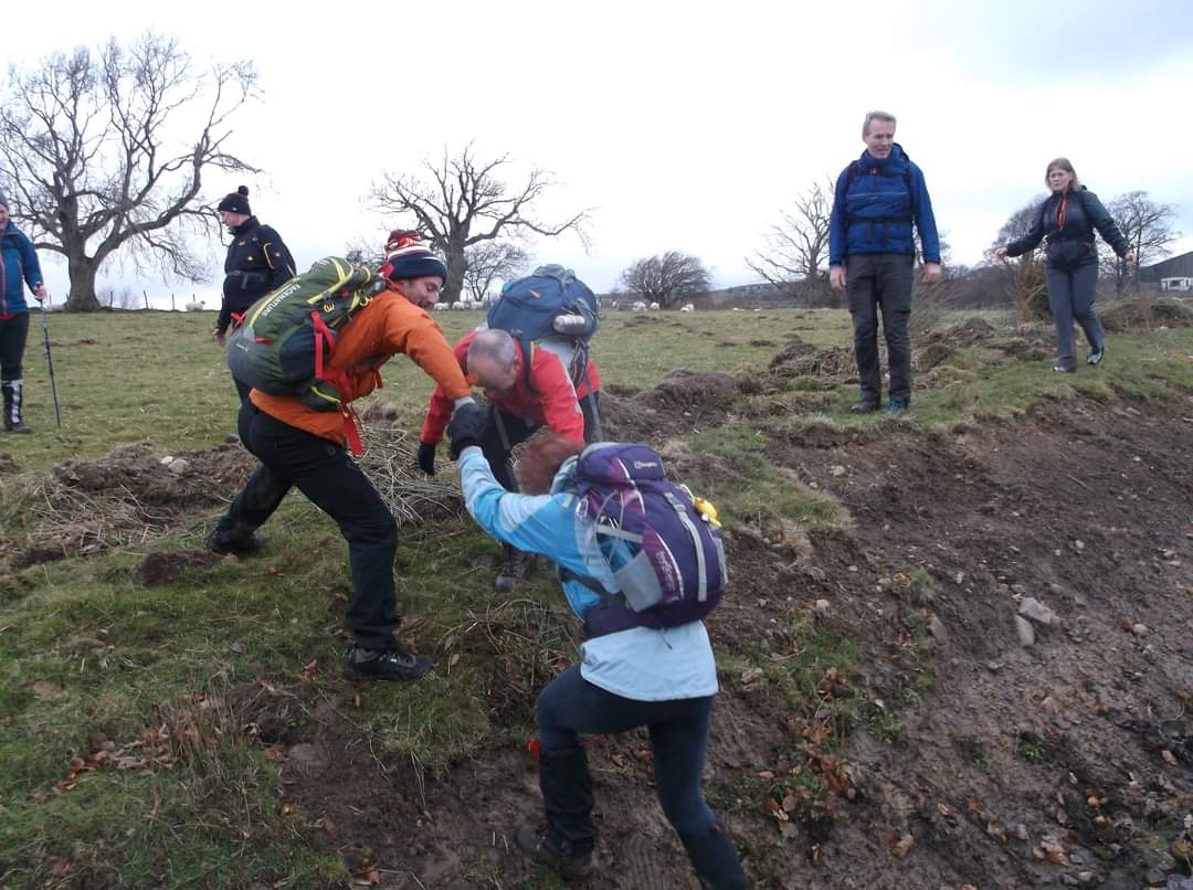
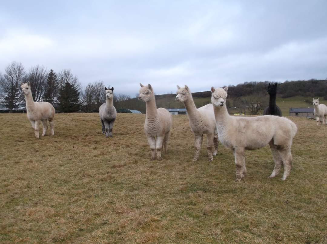
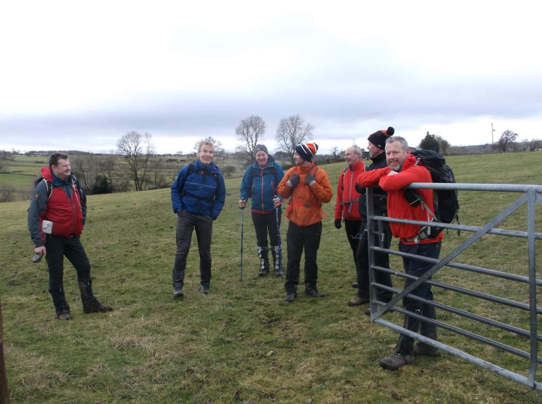
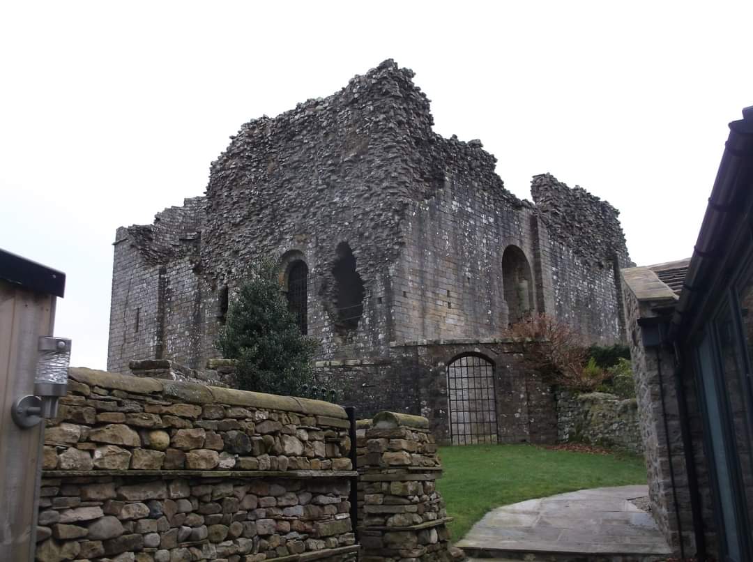
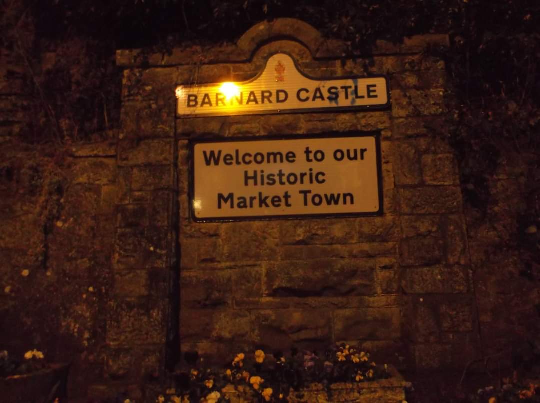
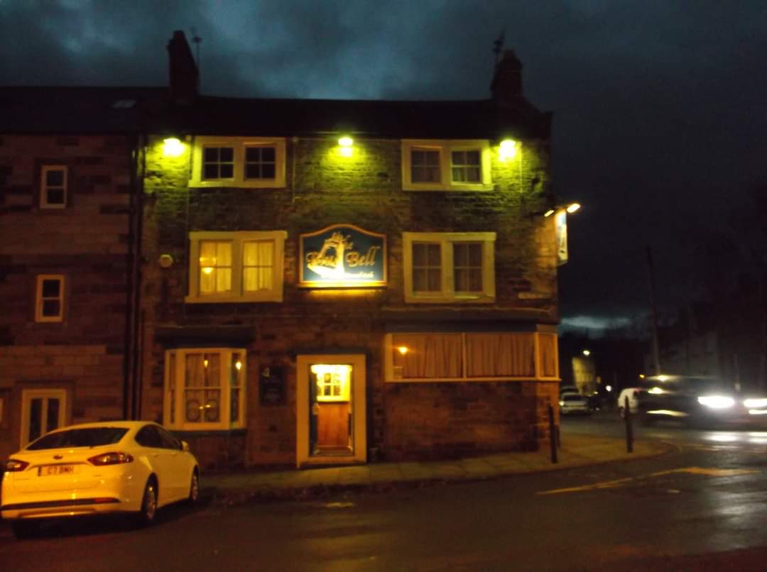
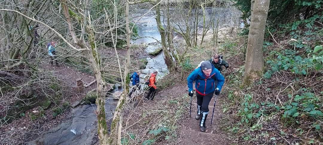
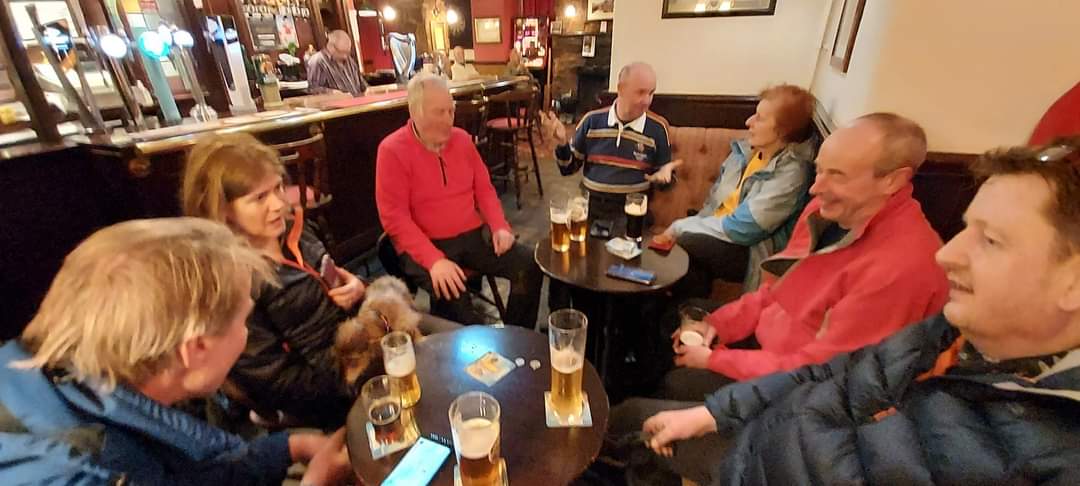
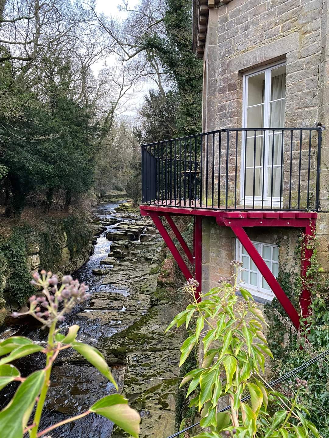
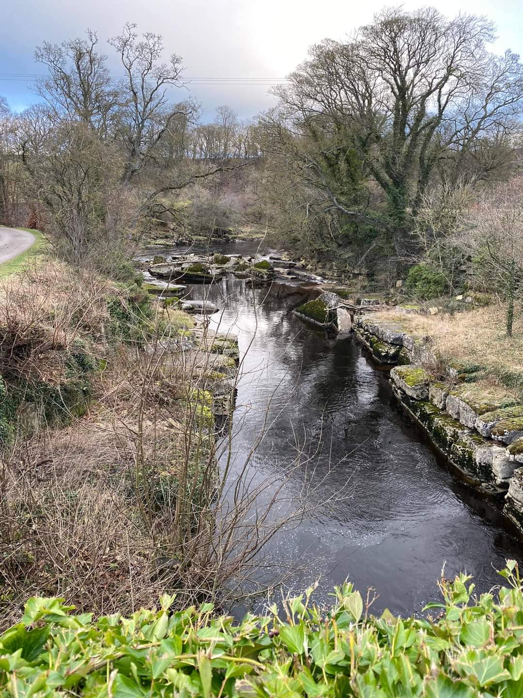
The Castle Gate Steve Foster's hastily arranged Barney Bimble, (for those fans of alliteration), proved a delight, with possibly the exception of the mud - fest along Deepdale Beck, on the return route, where caution underfoot was required and Beryl, regretted the absence of her walking poles. Ten assembled walkers and dog, welcomed new recruit Paul, from Meet Up and left eastward down the Teasdale Way, on another mild January day, via Rokeby Park and the historic Mortham Tower, on the market for a cool £3 Mil; to Greta Bridge. For many of us, we then encountered for the first time, a terrific path, the Greta Way, with fine views and woodland to the eastern bank, via the remains of St Mary's Church, Brignall a Grade II structure of limited amenities. Li -Yang not to be dissuaded from using her camera, captured the pheasant seat at our coffee break and thereafter, we ventured to Bowes Castle and Bowes with its Dickensian connections. We avoided any unexploded ordnance en -route to Levy Pool and the heather thatched farmhouse before a belated lunch stop, as the now cold wind, picked up. Steve assured us the return route was largely downhill and after an initial climb and a bit of stream and bog avoidance, so it proved. We all forgave the Deepdale Wood muddy return, as we enjoyed a well earned pint, in the Blue Bell. Peter FordOther Files
GPX
A GPX file of the above route may be downloaded by clicking the link below.
Note: GPX files of Group Walks are created by LDWA Group members, and may be downloaded only by other LDWA members. They should not be made available outside the LDWA, and are used at members' own risk.
Login to Download (Members Only)You can use the interactive controls to zoom in and out and to move around the map, or click on a path or a marker for more info. (interactive map help)
You can use the interactive controls to zoom in and out and to move around the map, or click on a path or a marker for more info. (interactive map help)
© OpenStreetMap contributors under Open Database Licence
Rights of way data from selected Local Authorities
Large scale digital mapping is provided by John Thorn
At high zoom levels the route is indicative only.
Gallery

Maps:
You can use the interactive controls to zoom in and out and to move around the map, or click on a marker for more info. (interactive map help)
© OpenStreetMap contributors under Open Database Licence.
Rights of way data from selected Local Authorities.
Large scale digital mapping is provided by John Thorn.


