
Forest and Rivers
Mon 3rd Jan 2022
Walk Details:
Event Type
Group Walk
Region
Northern England
Local Group
Northumbria
Distance
21ml.
Start Time
08:30
Route
Start at Garth Farm Road car park, Winlaton, NE21 6DB. Leader John Scott will take us on a tour of his home patch
General Notes
This first group social walk of 2022 is a great opportunity to stretch the legs and breathe some fresh air after the festive period. Dogs welcome on leads. Drinks afterwards at the Rose and Crown, Winlaton. Dawn 07:44am, Dusk 16:35pm
Web Site
Start and Finish
Entry Details:
Cost
Walk Report
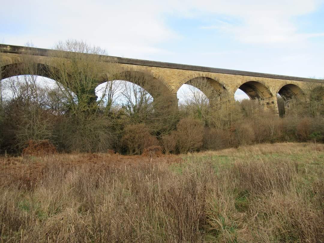
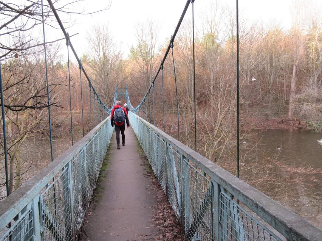
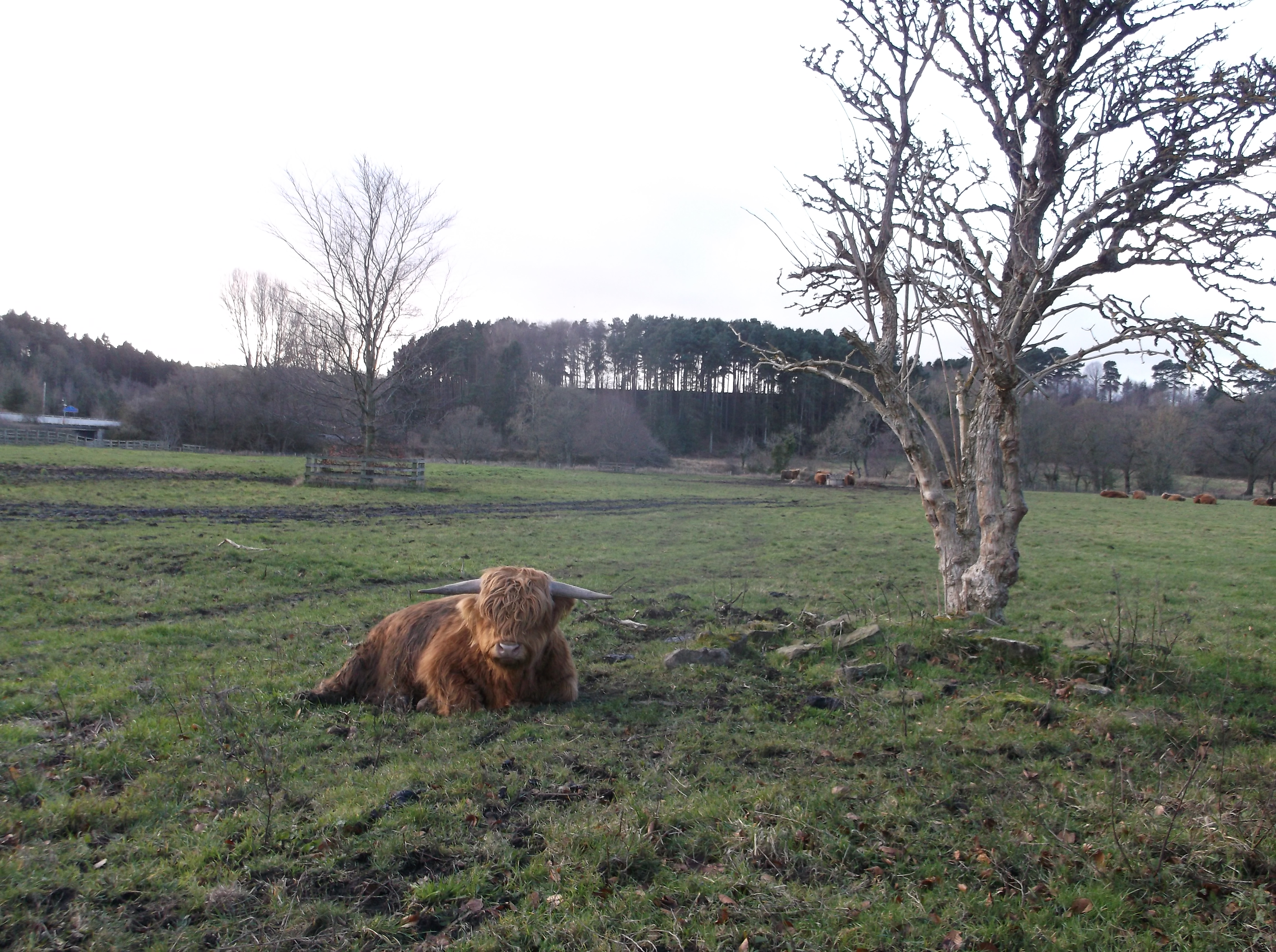
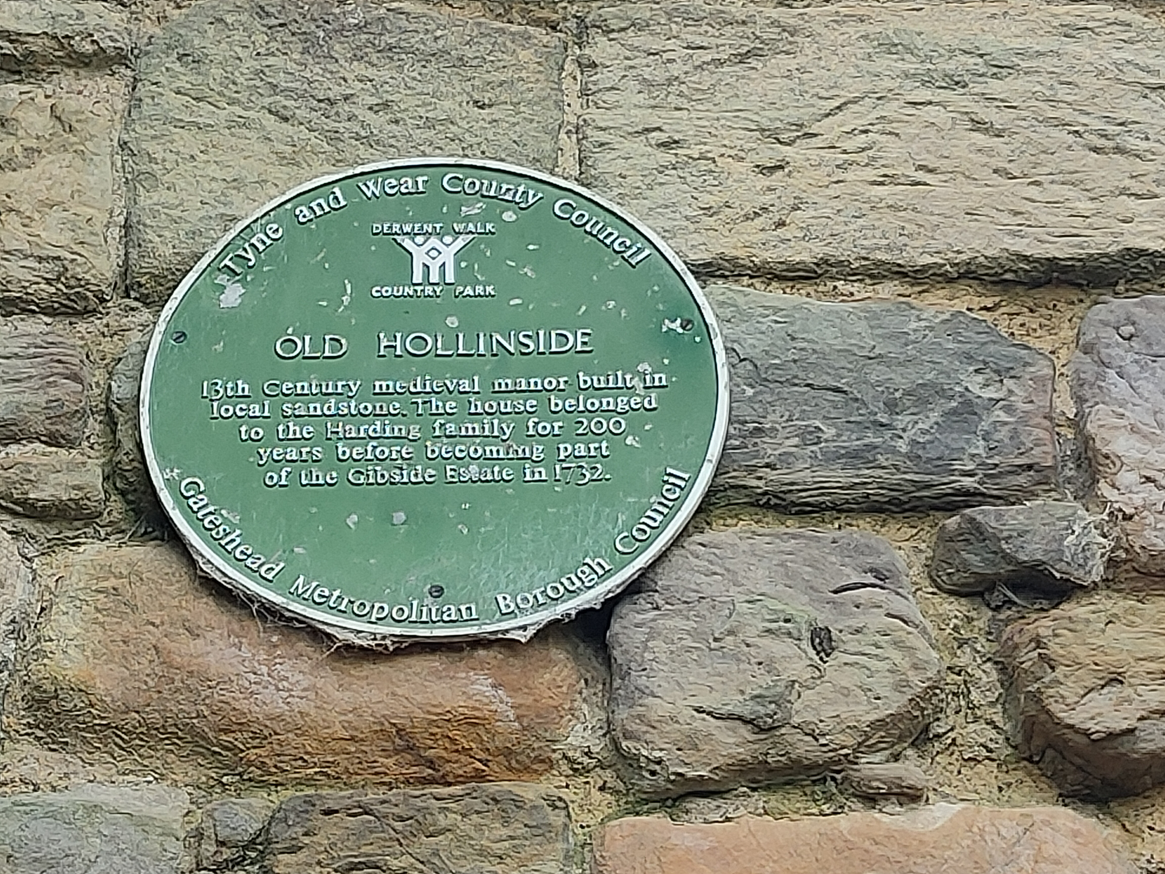
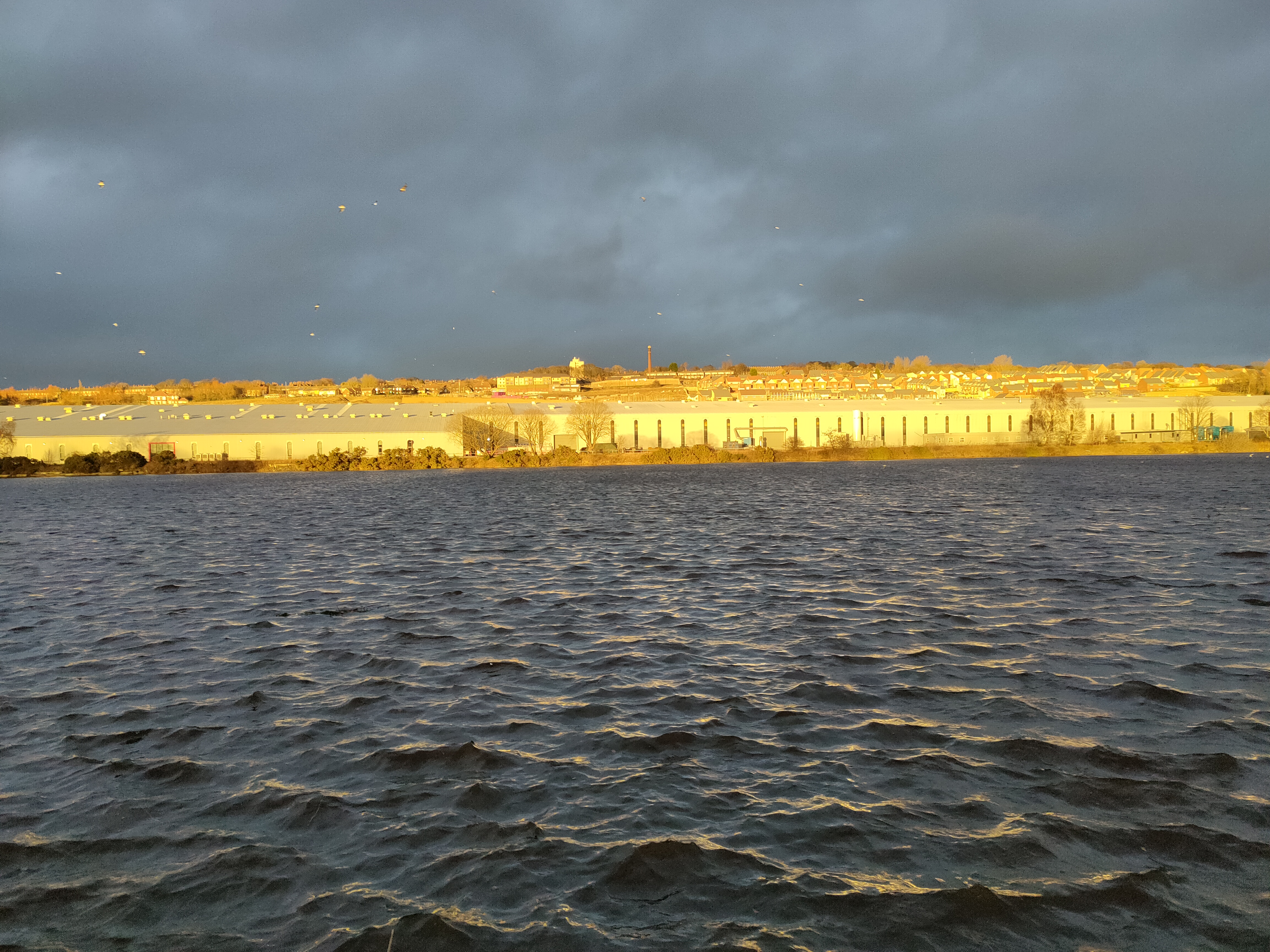
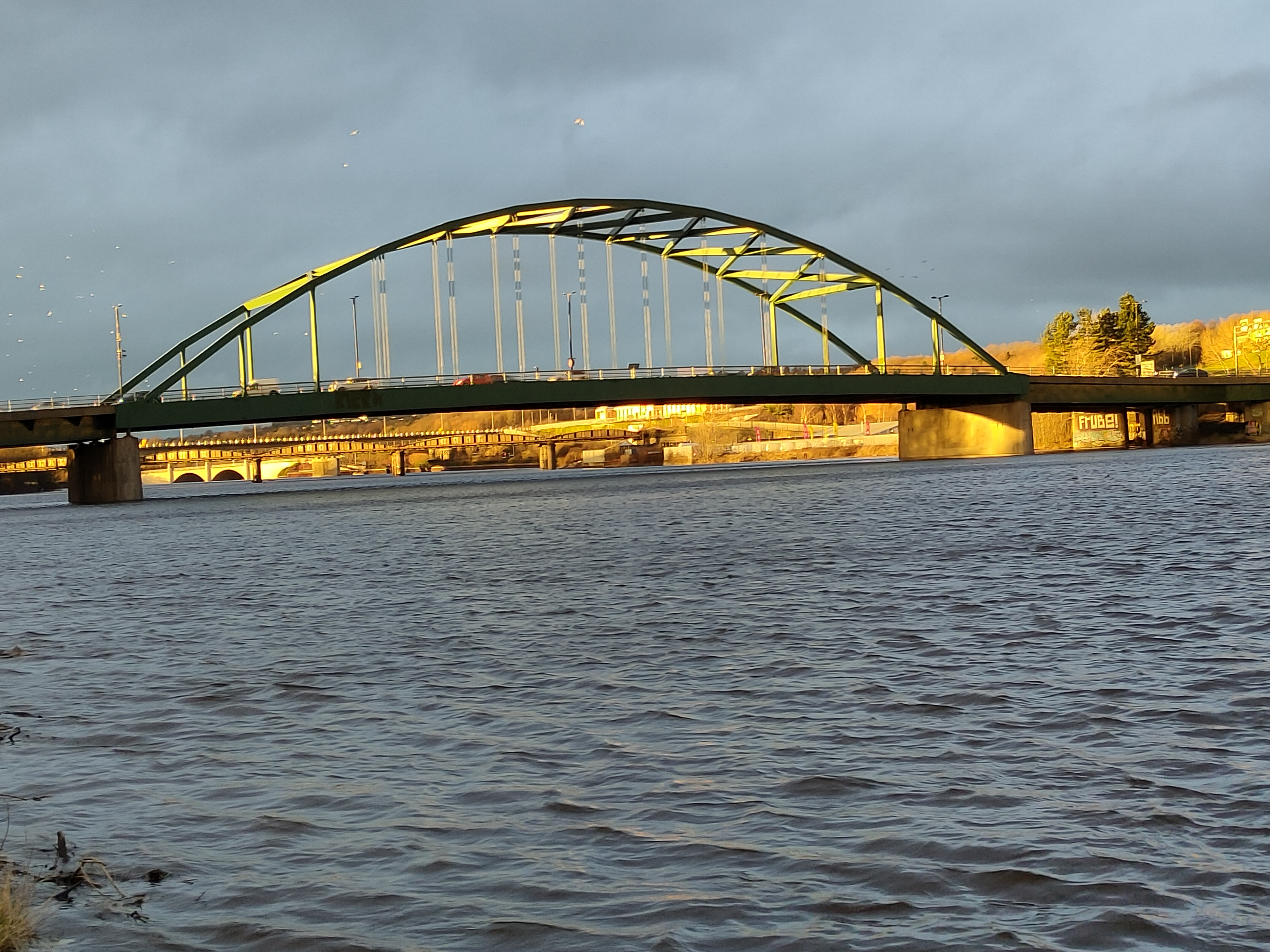
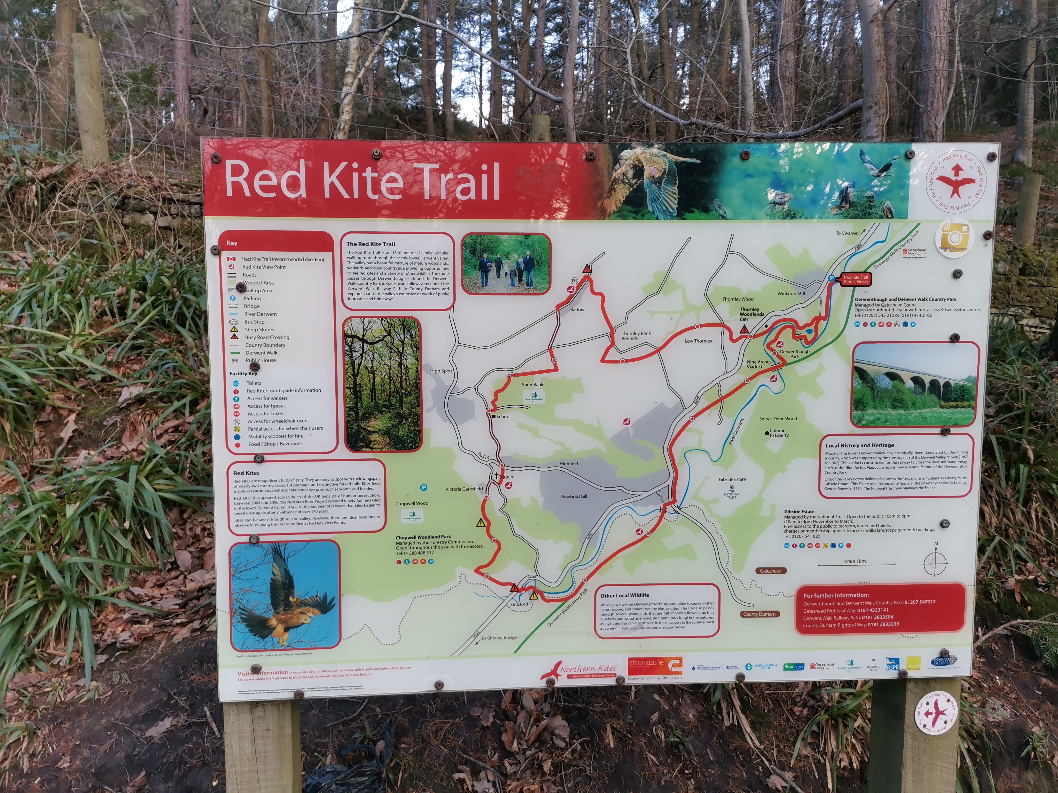
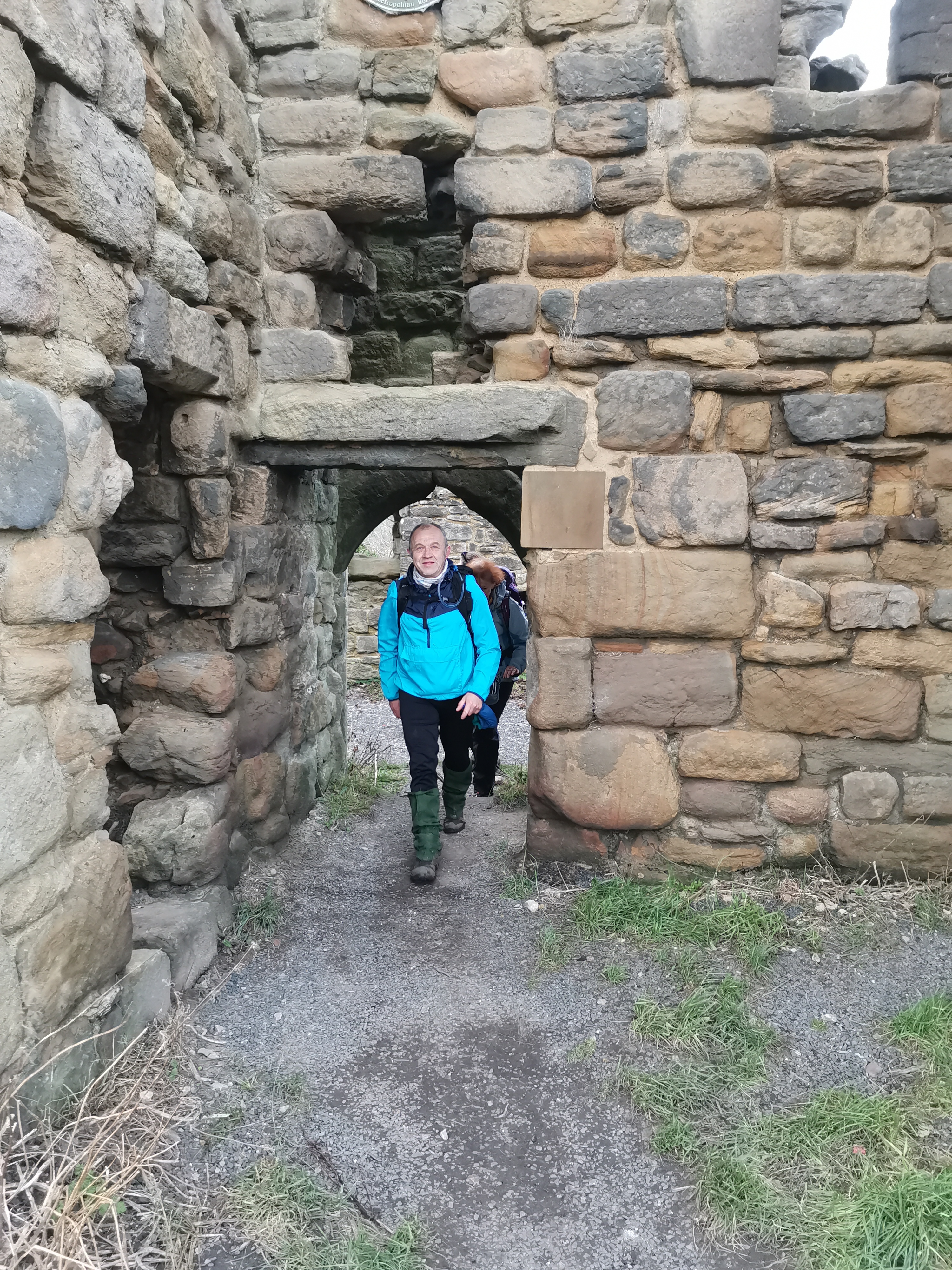
Leader John Scott. 24 walkers. Winlaton, Barlow, Garesfield, circuit of Chopwell Woods, Lintzford, Derwent Walk, Rowlands Gill, Swalwell, Blaydon. Some fun negotiating fallen trees in Chopwell Woods. Nice weather until heavy rain for the last hour. 20 miles, 1677 ft of ascent.Other Files
GPX
A GPX file of the above route may be downloaded by clicking the link below.
Note: GPX files of Group Walks are created by LDWA Group members, and may be downloaded only by other LDWA members. They should not be made available outside the LDWA, and are used at members' own risk.
Login to Download (Members Only)You can use the interactive controls to zoom in and out and to move around the map, or click on a path or a marker for more info. (interactive map help)
You can use the interactive controls to zoom in and out and to move around the map, or click on a path or a marker for more info. (interactive map help)
Contains Ordnance Survey data © Crown copyright and database right 2016.
© OpenStreetMap contributors under Open Database Licence
Rights of way data from selected Local Authorities
Large scale digital mapping is provided by John Thorn
At high zoom levels the route is indicative only.
© OpenStreetMap contributors under Open Database Licence
Rights of way data from selected Local Authorities
Large scale digital mapping is provided by John Thorn
At high zoom levels the route is indicative only.
Gallery
Maps:
You can use the interactive controls to zoom in and out and to move around the map, or click on a marker for more info. (interactive map help)
Contains Ordnance Survey data © Crown copyright and database right 2016.
© OpenStreetMap contributors under Open Database Licence.
Rights of way data from selected Local Authorities.
Large scale digital mapping is provided by John Thorn.
© OpenStreetMap contributors under Open Database Licence.
Rights of way data from selected Local Authorities.
Large scale digital mapping is provided by John Thorn.


