
Glenridding Weekend, Day 2, Angletarn Pikes
Sun 24th Apr 2022
Walk Details:
Brock Crags, Angletarn Pikes
Entry Details:
Walk Report
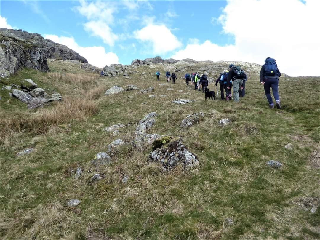
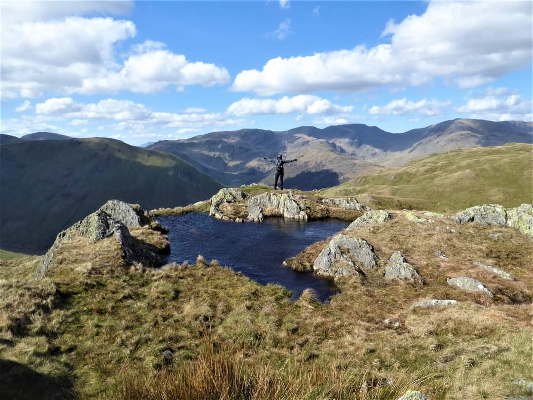
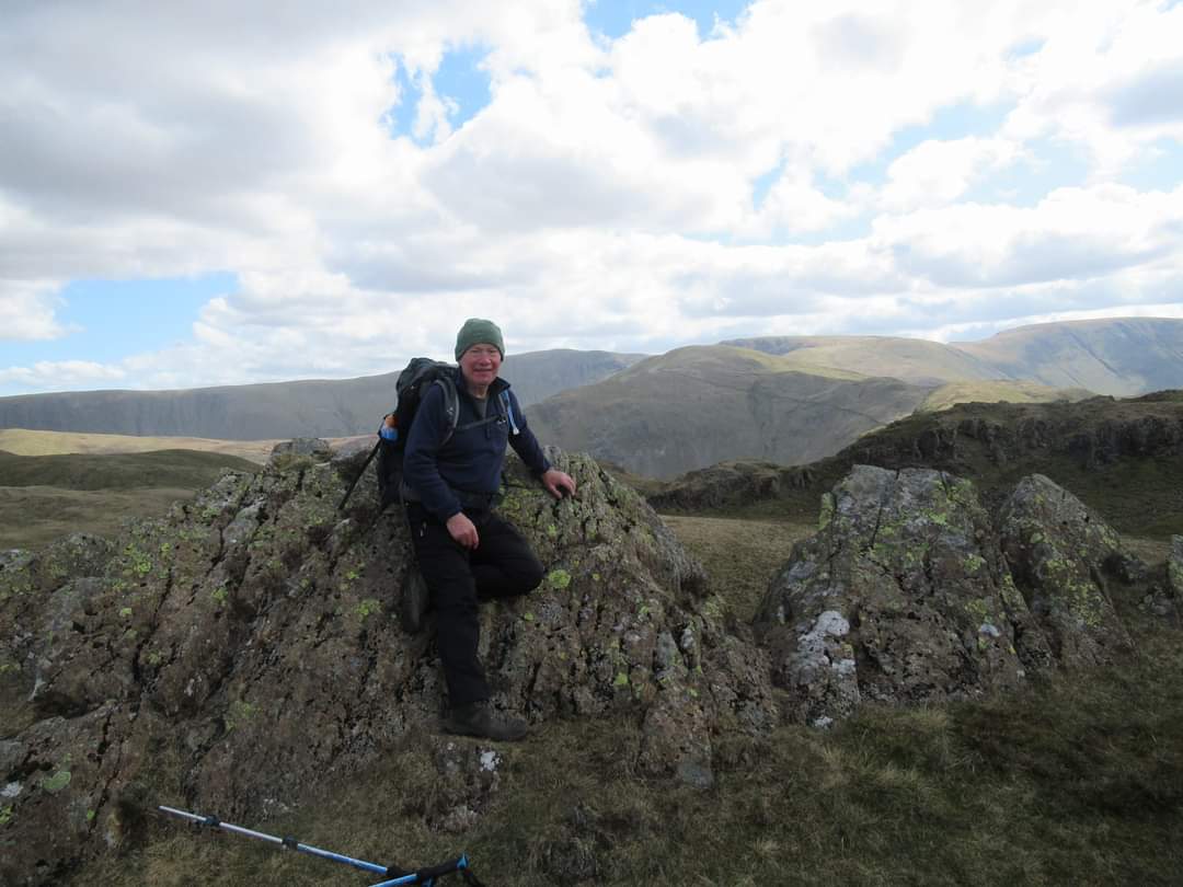
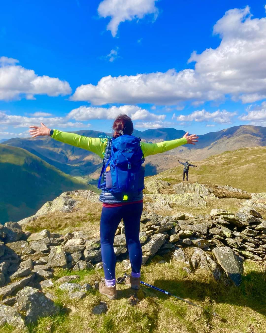
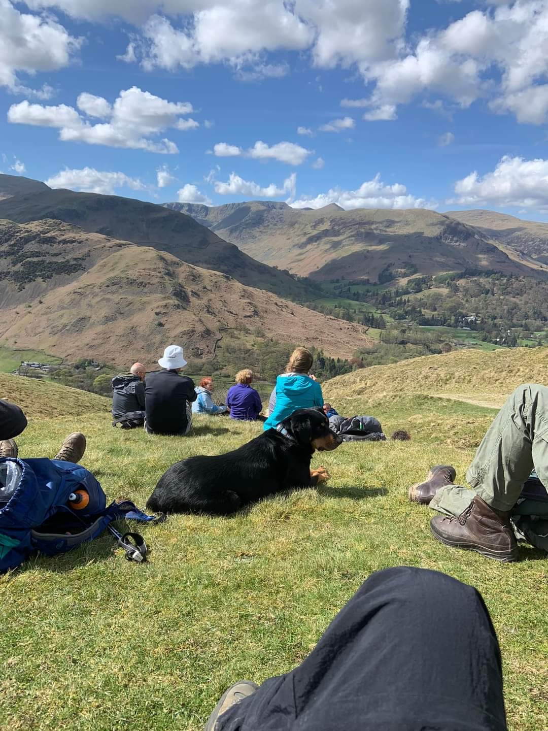
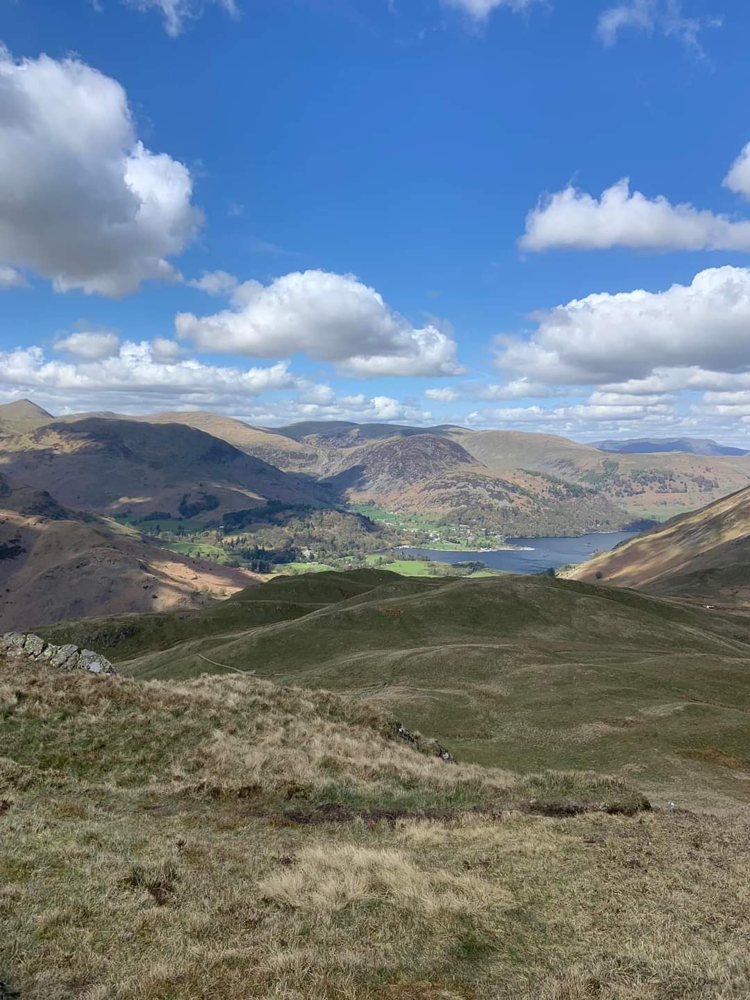
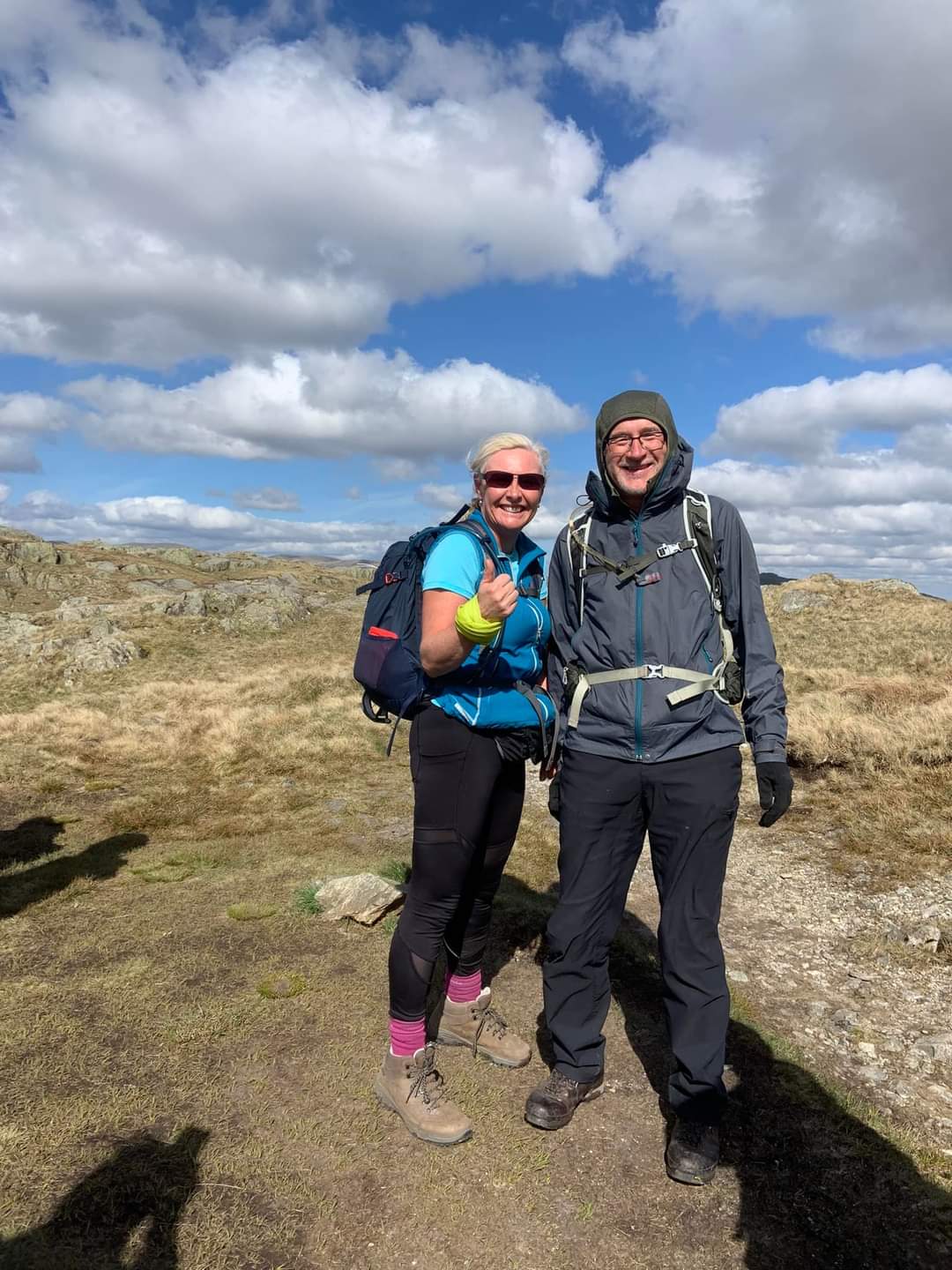
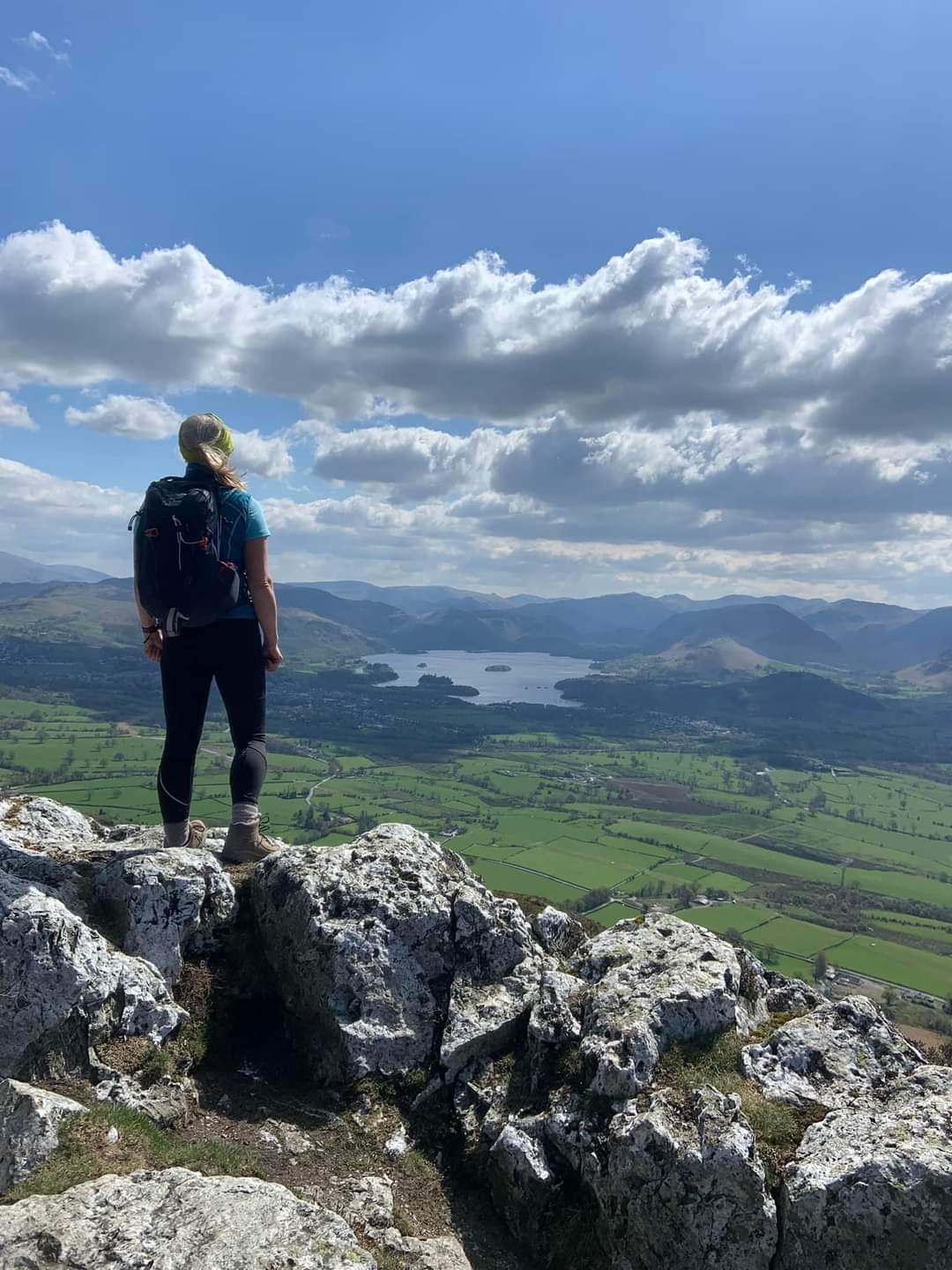
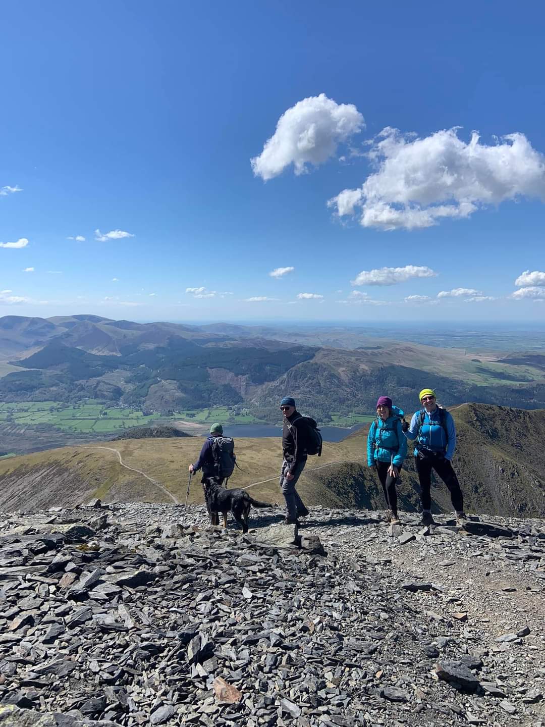
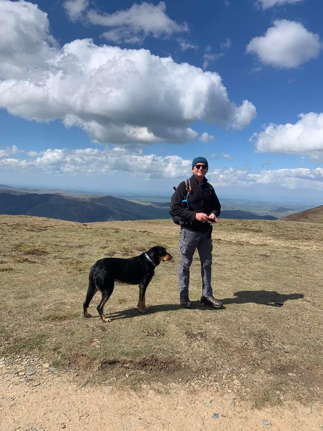
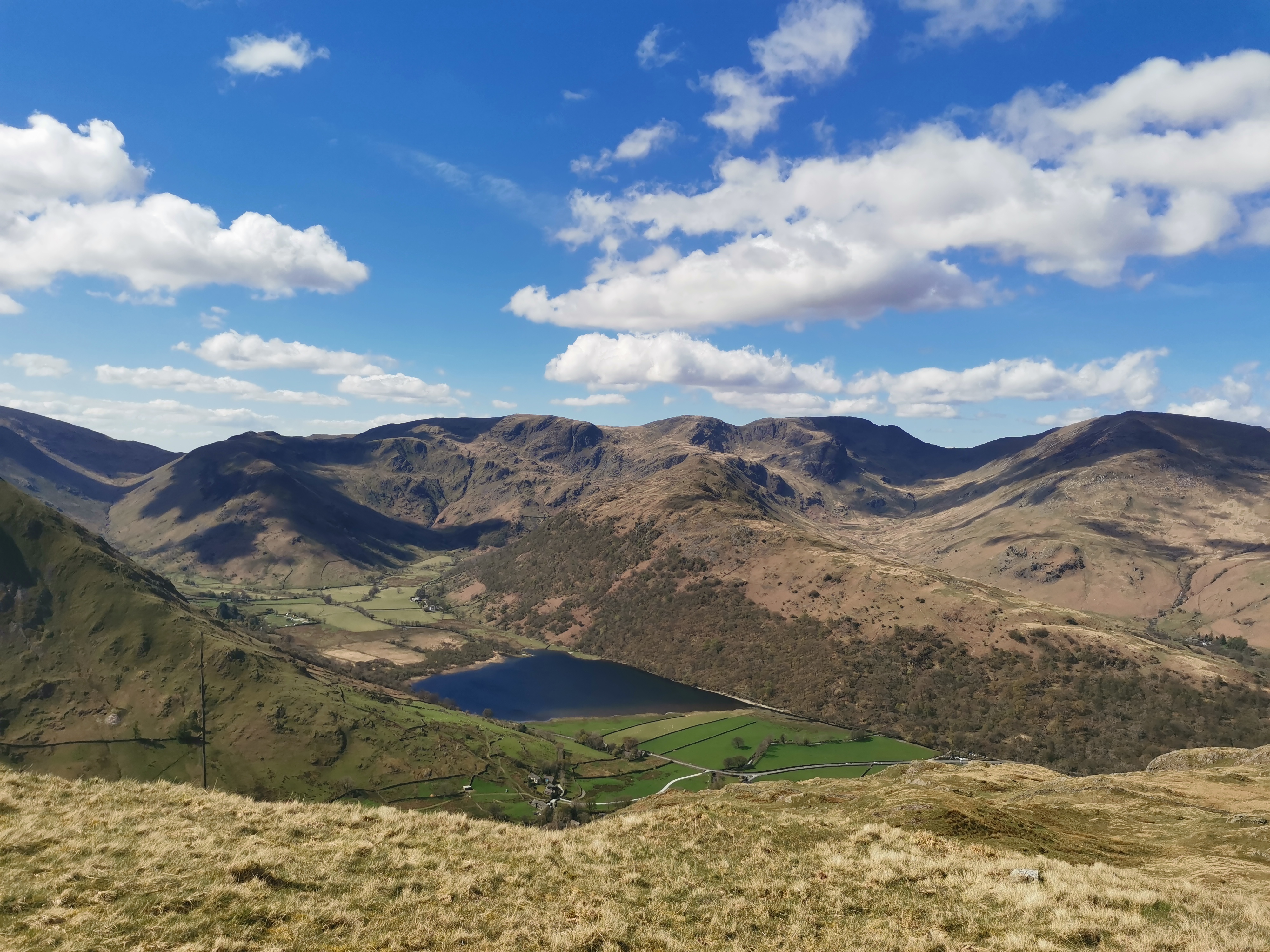
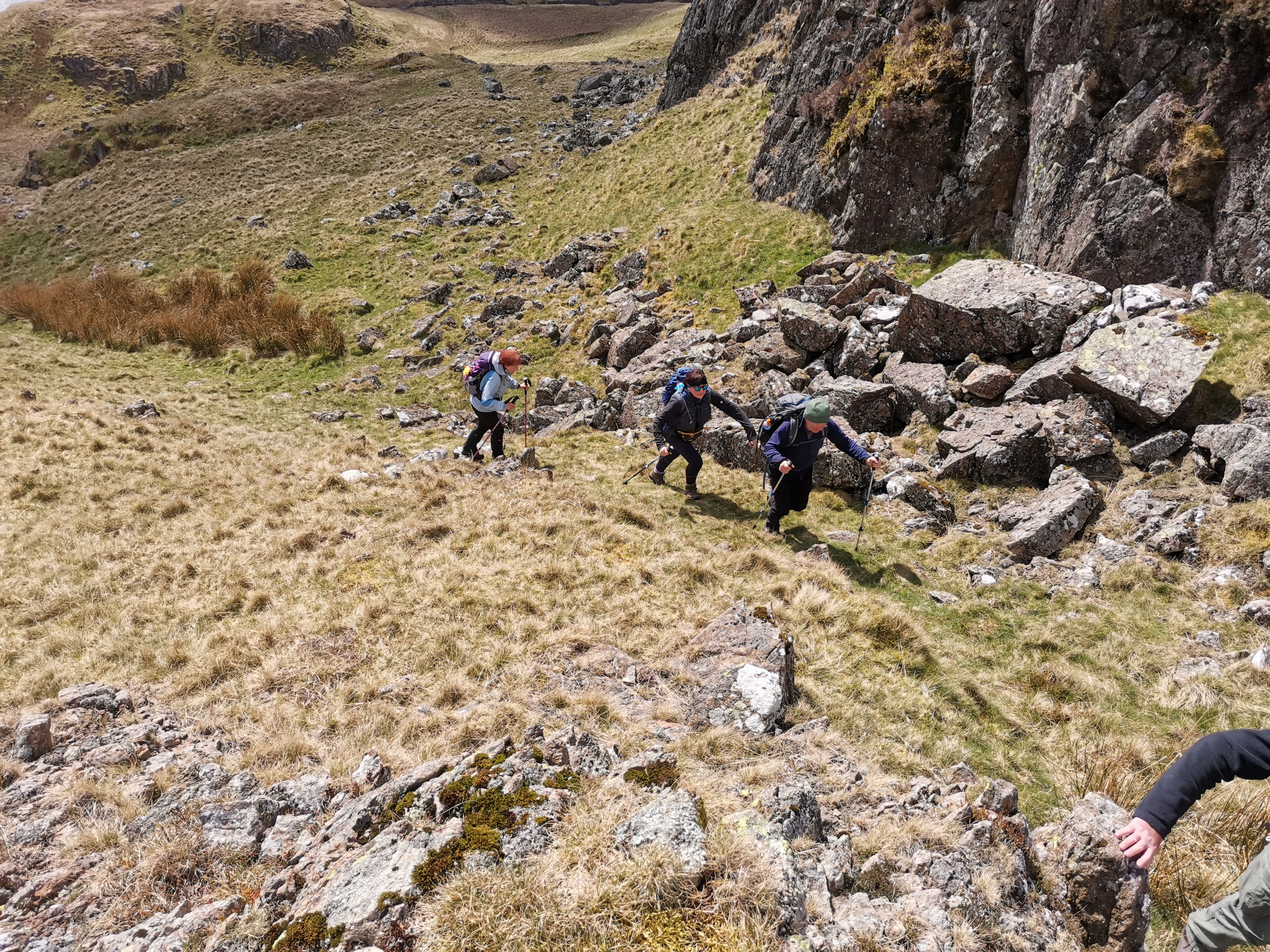
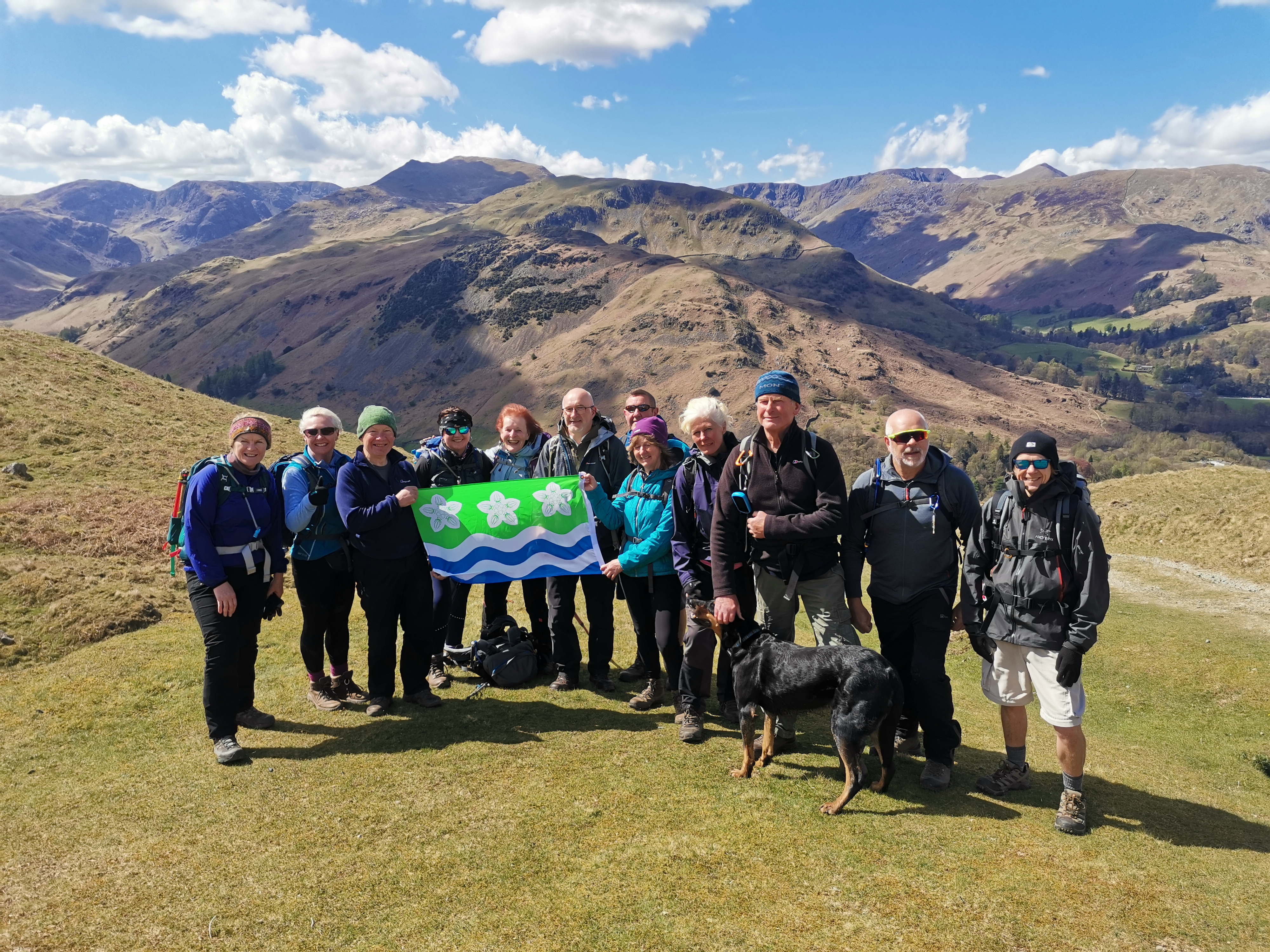
On the Sunday John Scott was leading the walk from Hartsop to Hayeswater, Satura Crag, Brock Crag, Angle Tarn, Angle Tarn Pikes and Boredale Hause - 7.6 miles. It was another fine, bright if windy day. I think it was Brock Crag were we paused for a break with superb views across to Ullswater - not a bad location for Sunday lunch! Many thanks John for another great day of chilled leisurely walking. Afterwards four of us joined together for a final pint at the Brotherswater Inn just before Kirkstone Pass. ( Beryl Massey )Other Files
GPX
A GPX file of the above route may be downloaded by clicking the link below.
Note: GPX files of Group Walks are created by LDWA Group members, and may be downloaded only by other LDWA members. They should not be made available outside the LDWA, and are used at members' own risk.
Login to Download (Members Only)You can use the interactive controls to zoom in and out and to move around the map, or click on a path or a marker for more info. (interactive map help)
You can use the interactive controls to zoom in and out and to move around the map, or click on a path or a marker for more info. (interactive map help)
© OpenStreetMap contributors under Open Database Licence
Rights of way data from selected Local Authorities
Large scale digital mapping is provided by John Thorn
At high zoom levels the route is indicative only.
Gallery

Maps:
You can use the interactive controls to zoom in and out and to move around the map, or click on a marker for more info. (interactive map help)
© OpenStreetMap contributors under Open Database Licence.
Rights of way data from selected Local Authorities.
Large scale digital mapping is provided by John Thorn.


