
Glenridding Weekend, Day 1, Helvellyn
Sat 23rd Apr 2022
Walk Details:
Glenridding, Mires Beck, hole-in-the-wall, striding edge, Helvellyn, Nethermost Pike, Dollywaggon Pike, Seat Sandal, Grisedale Tarn, Cofa Pike and Fairfield, St Sunday Crag, Birks and back to Glenridding
Entry Details:
Walk Report
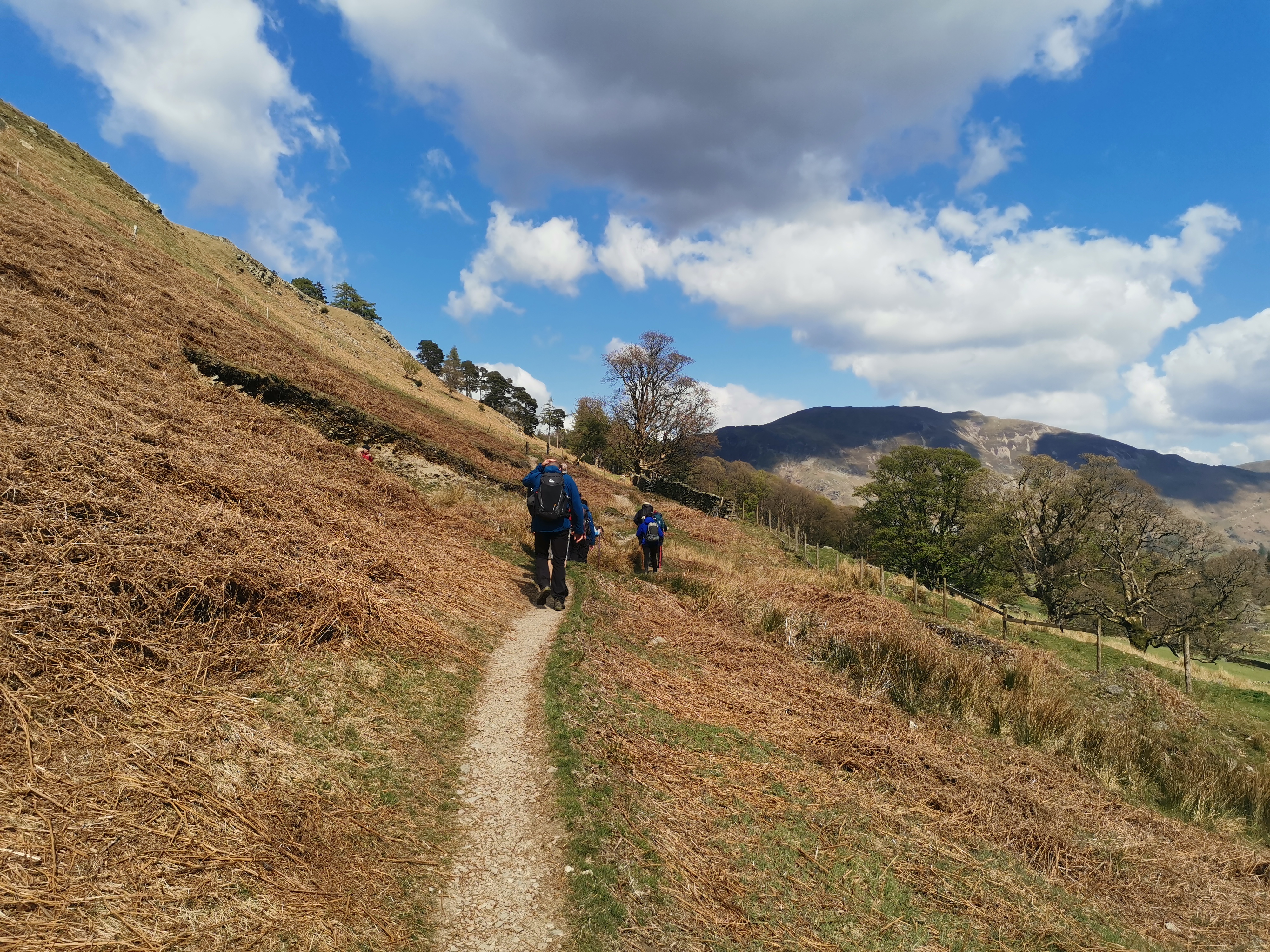
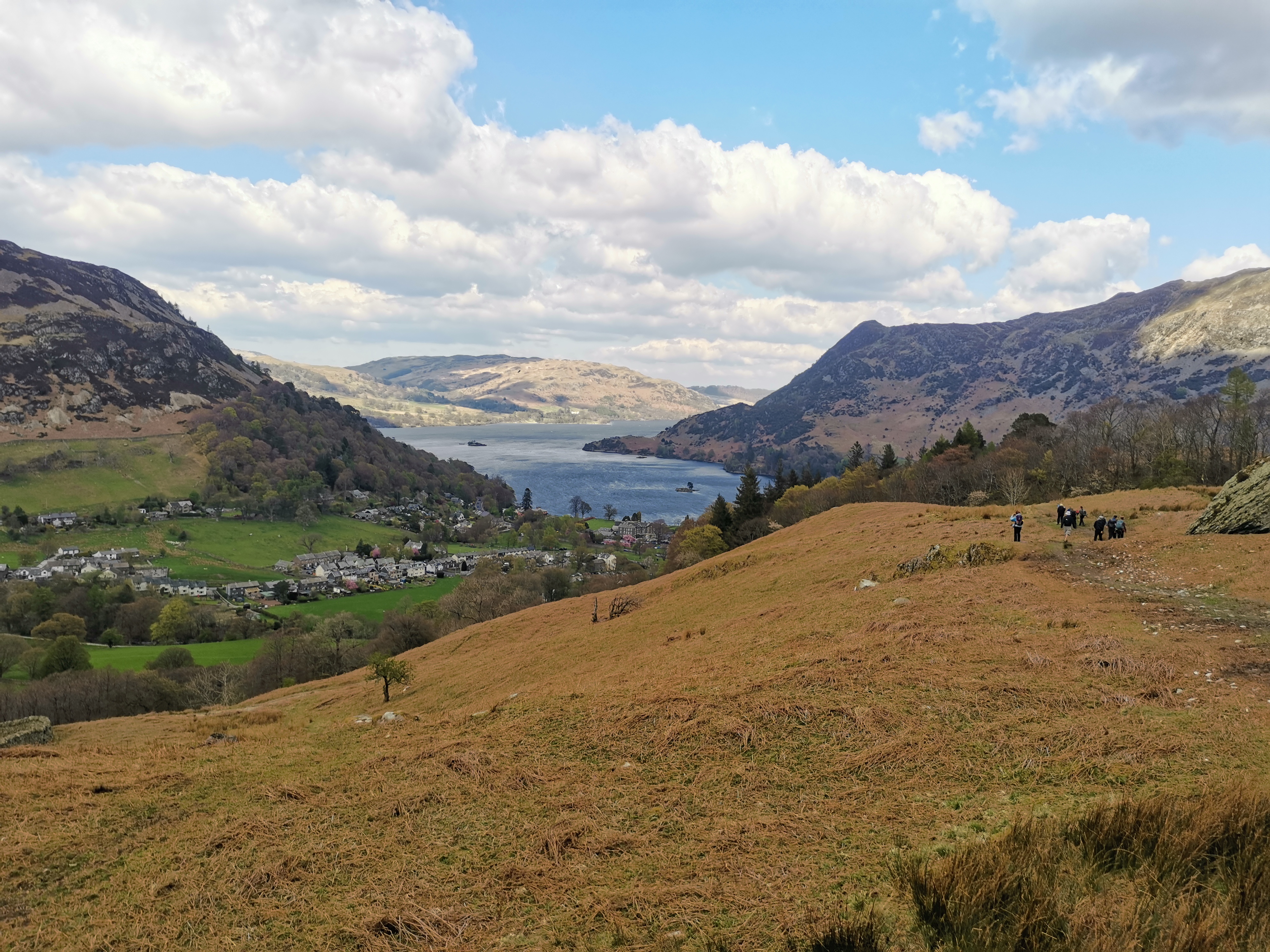
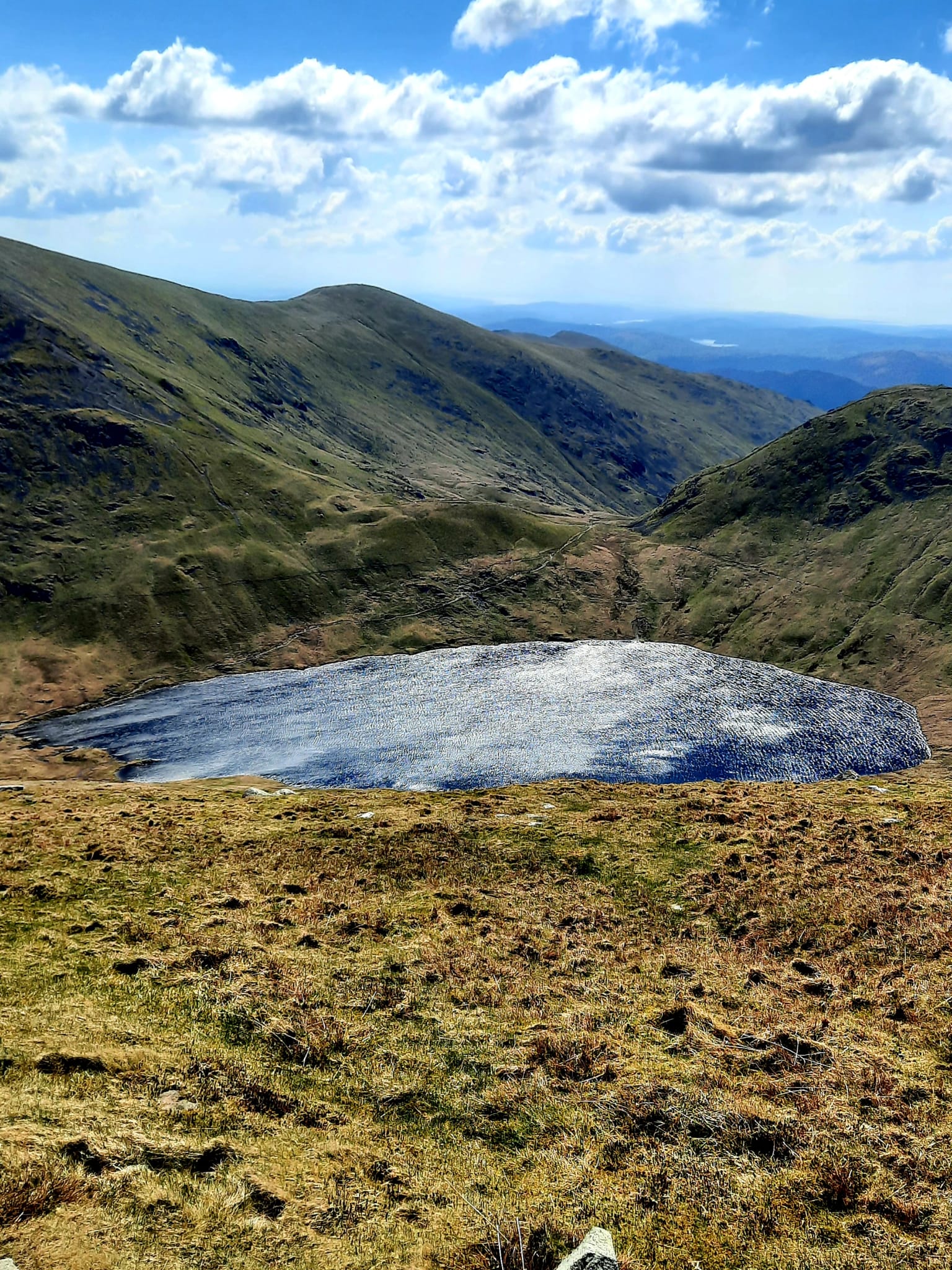
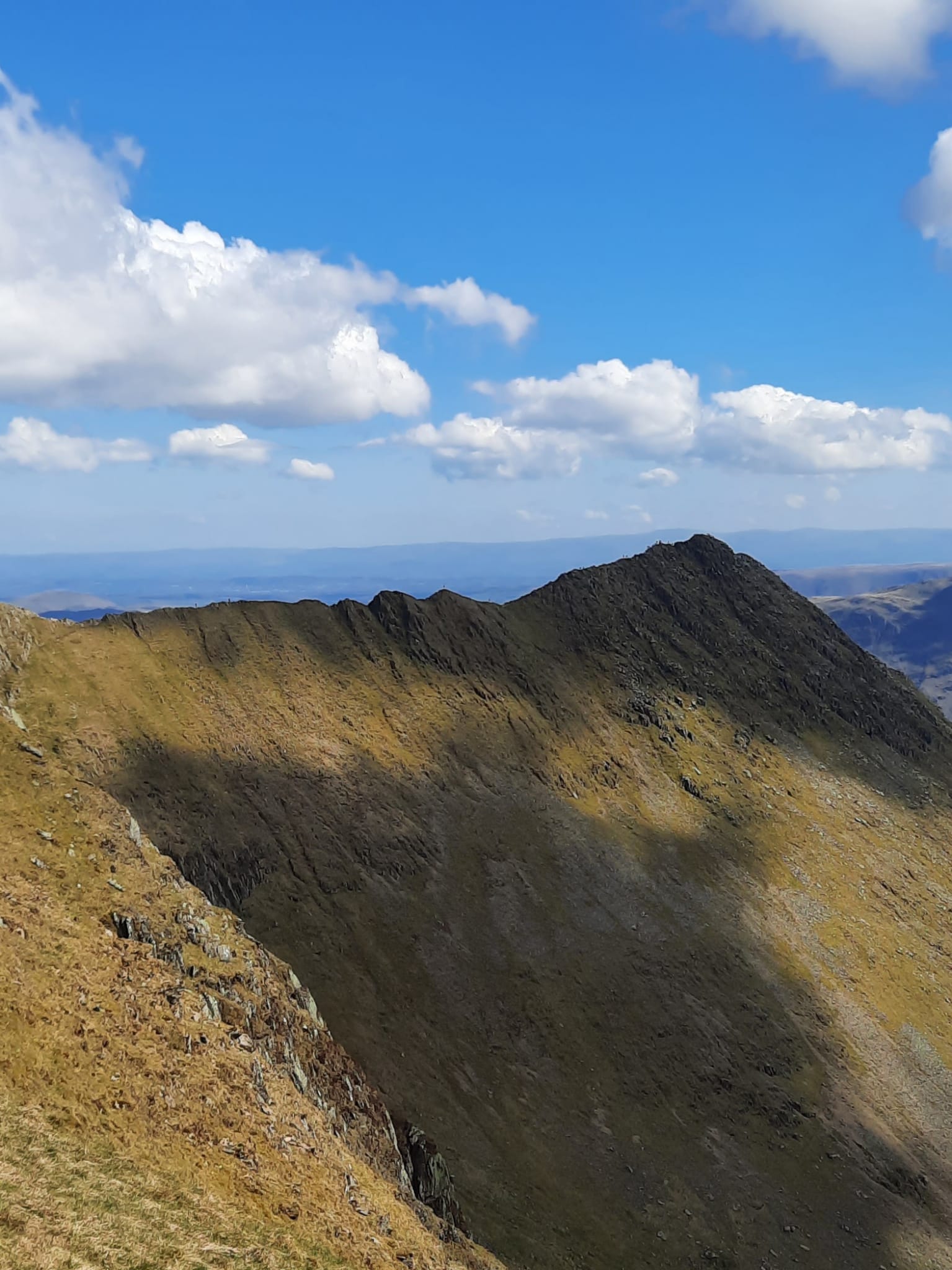
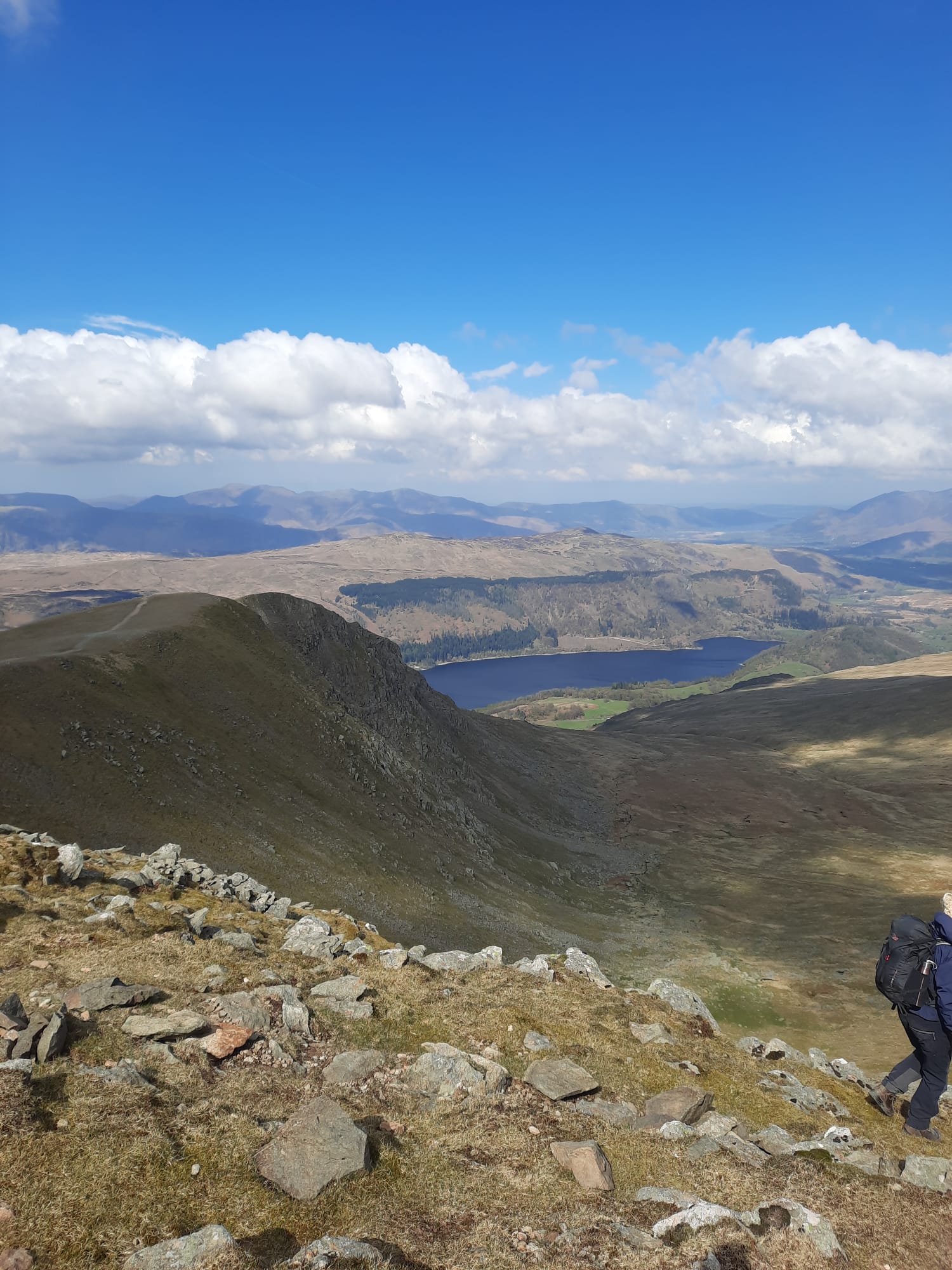
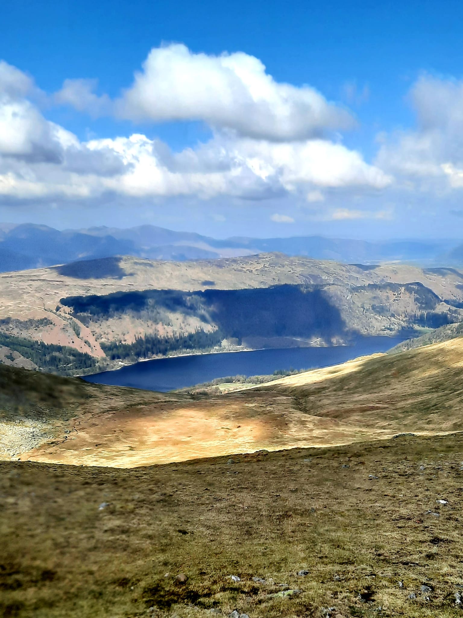
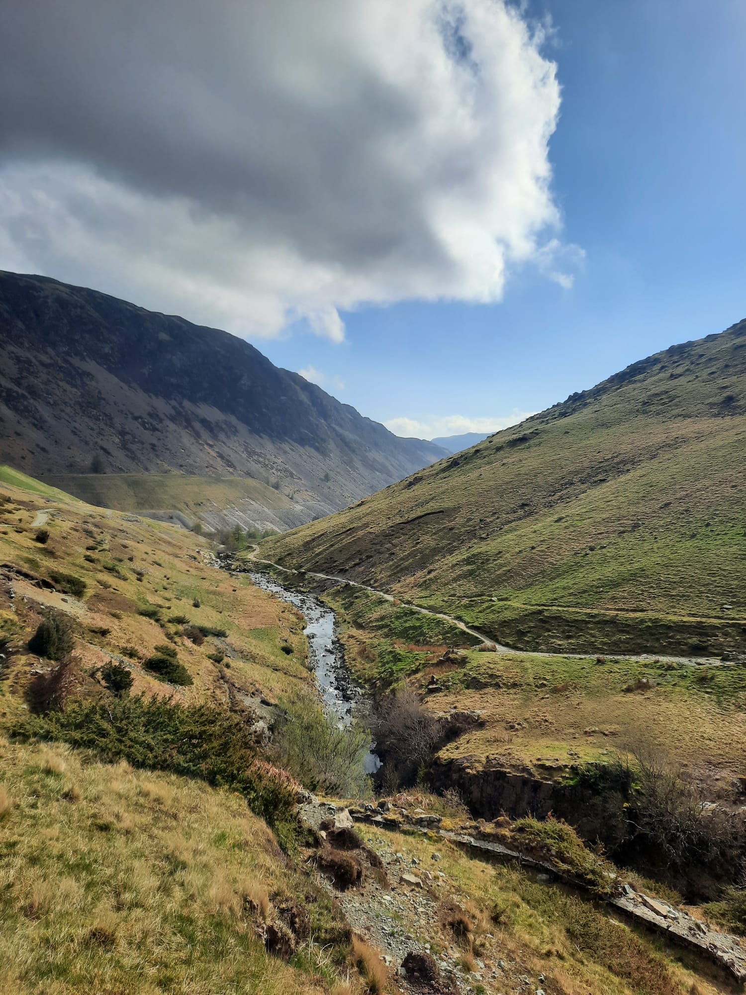
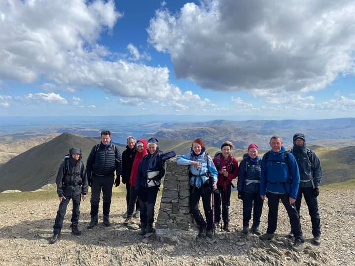
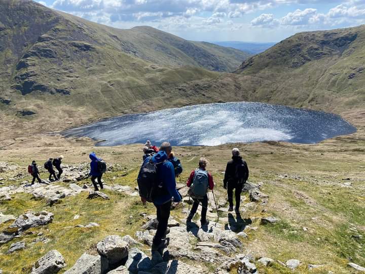
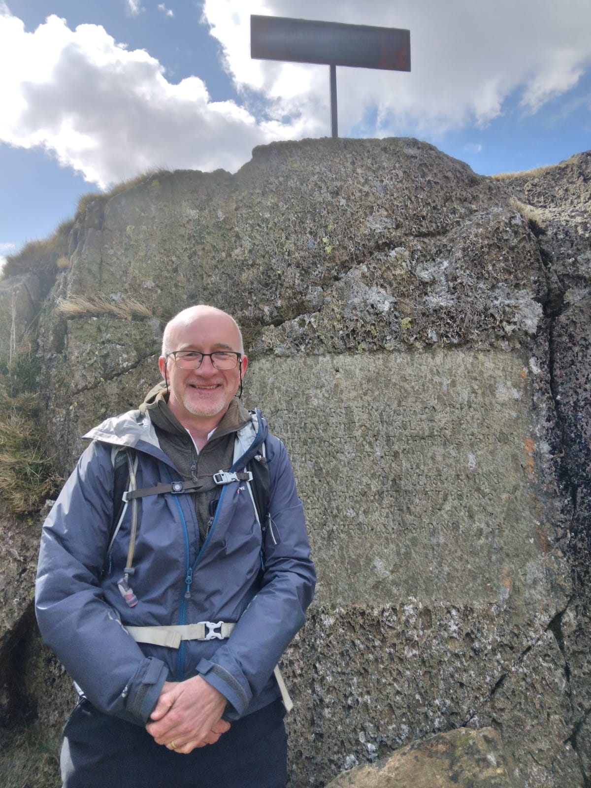
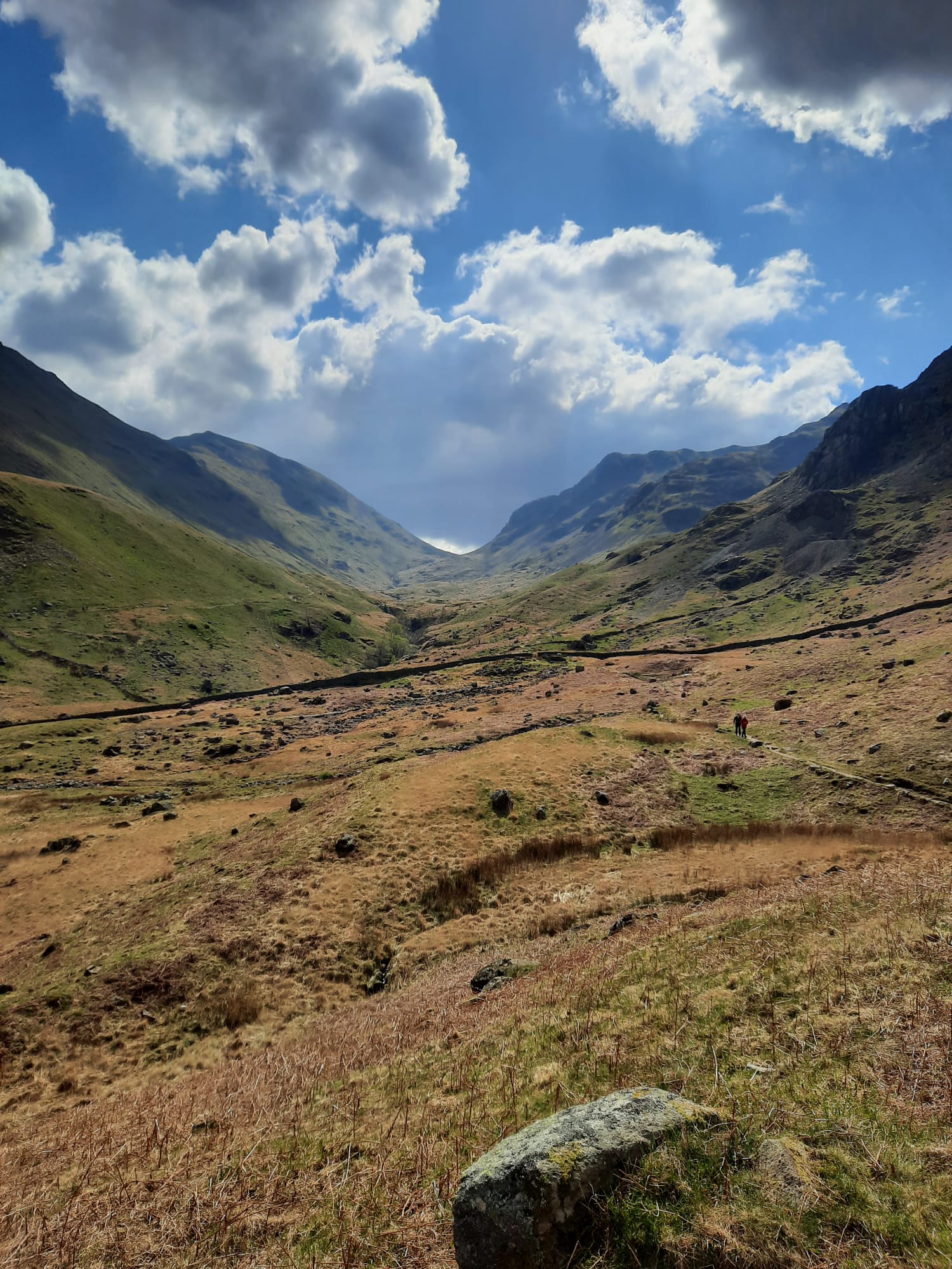
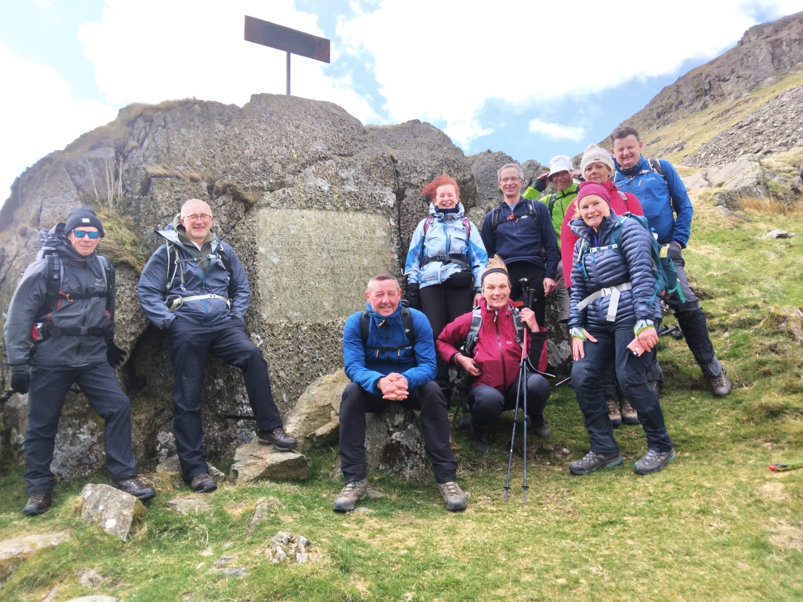
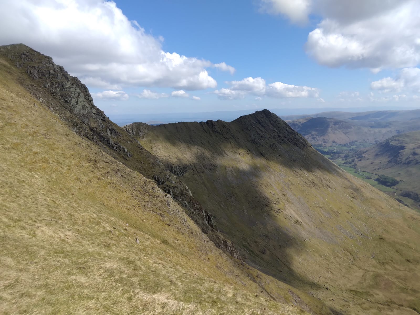
Although the weather was dry, strong NE winds, with gusts of up to 60 mph at fell top level meant that the leaders had to change the route on the day. It would have been too dangerous to attempt Striding Edge in such strong winds. We therefore ascended Helvellyn by the safe zig-zig path from Glenridding beck up to Whiteside. From Grisedale Tarn instead of ascending again up to St Sundays Crag we descended down the beautiful Grisedale Valley back to Glenridding. ( Paul Nellist ) What a fantastic weekend I have just enjoyed in the Lakes - the scenery is magnificent, breathtaking - on a scale all of its own. The photos don't do it justice. The weather was fine and bright though very chill, as expected, the higher we climbed. The only fly in the ointment was the wind. On the first day the scheduled walk was amended accordingly so that we approached Helvellyn from Whiteside over Lower Man. It was here that the wind literally blew us off our feet and having gathered ourselves we walked arm in arm across the plateau towards the narrow path leading to the summit. So Helvellyn climbed at last and I'm thrilled; but for the second time access via Striding Edge has eluded me! It has to be 3rd time lucky. Looking back towards Striding Edge we were astonished to see a trail of ants making their way along it, not seemingly effected by the wind - perhaps it was sheltered from the main force! But it wasn't worth the risk. So anyone familiar with the walk and scramble along the edge, planning an outing over to Glenridding on a fine, clear, still day, I would be more than happy to join you! From Helvellyn summit we walked along to Nethermost Pike, High Crag and Dollywaggon Pike with views across to Fairfield. There was a long descent following a stony and mostly, stepped path to Grisedale Tarn, reminiscent of the decent from Fairfield Horseshoe via Nab Scar completed with my son Benjamin and friend Paul in 2019, though this didn't appear to be quite as long, and not as sheer or as challenging. Certainly, on this occasion, my knees surpassed all expectations! Thereafter there was a steady walk along Grisedale Valley, past The Brother's Parting Stone/Wordsworth Stone that Paul Nellist knew of and which we eventually found, and so on to Glenridding - 13 miles. We enjoyed our usual refreshment and banter at the end before seeking out, in my case, lodgings booked at the Royal Hotel, Dockray - very pleasant stay, obliging staff and a good meal; but no bath!! I soaked in the shower! Many thanks Julie, Brid, Rachael and Michelle for organising and leading the walk - a brilliant day. ( Beryl Massey)Other Files
GPX
A GPX file of the above route may be downloaded by clicking the link below.
Note: GPX files of Group Walks are created by LDWA Group members, and may be downloaded only by other LDWA members. They should not be made available outside the LDWA, and are used at members' own risk.
Login to Download (Members Only)You can use the interactive controls to zoom in and out and to move around the map, or click on a path or a marker for more info. (interactive map help)
You can use the interactive controls to zoom in and out and to move around the map, or click on a path or a marker for more info. (interactive map help)
© OpenStreetMap contributors under Open Database Licence
Rights of way data from selected Local Authorities
Large scale digital mapping is provided by John Thorn
At high zoom levels the route is indicative only.
Gallery
Maps:
You can use the interactive controls to zoom in and out and to move around the map, or click on a marker for more info. (interactive map help)
© OpenStreetMap contributors under Open Database Licence.
Rights of way data from selected Local Authorities.
Large scale digital mapping is provided by John Thorn.


