
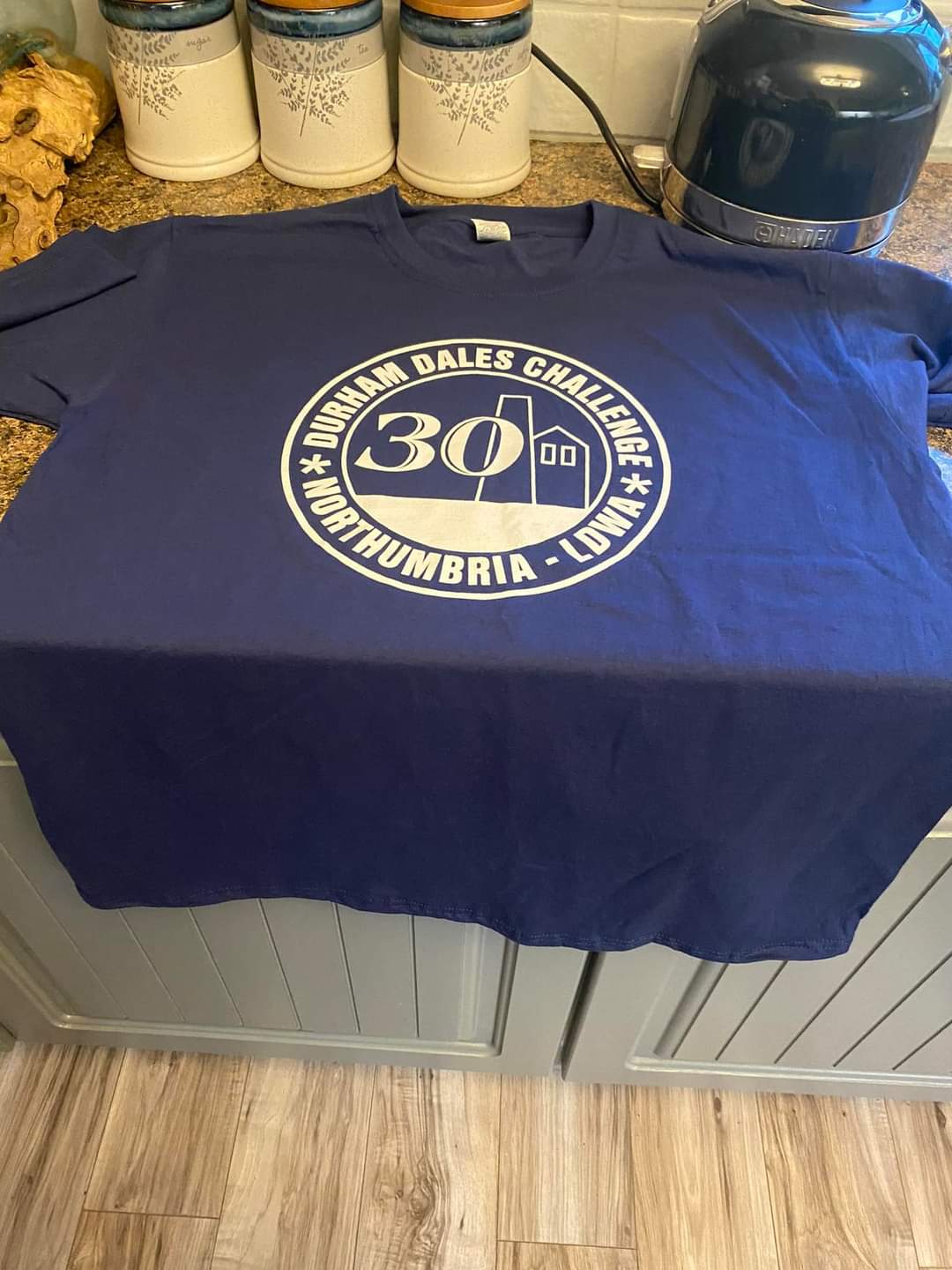
30th Durham Dales Challenge
Sat 18th Jun 2022
Walk Details:
Event Type
Challenge Event
Region / Area
Northern England / Durham Dales
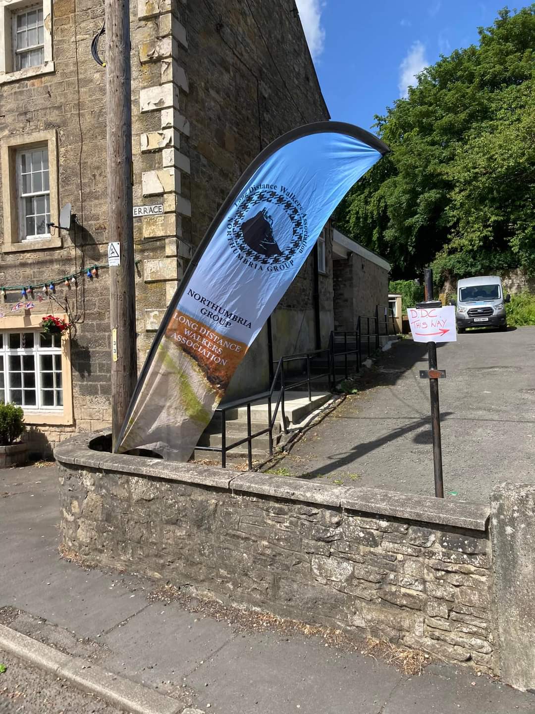
Local Group
Northumbria
Distance
30 or 14ml.
Start Time
9am start for both routes
Route
From The Masonic Hall in Wolsingham, DL13 3AN. Parking to be advised ahead of the event. 30 miles in 12 hours or 14 miles in 9 hours
30 mile route goes to Middleton-in-Teesdale via Hamsterley Forest and returns via Hudeshope Beck, Bollihope and the River Wear. 14 mile route goes to Sunnyside Edge, Bollihope and the River Wear
General Notes
We regret no dogs are allowed. A significant donation is made to Teesdale and Weardale search and rescue team. Entries online only, through SiEntries. Closing date Sunday 12th June 2022. Entry limited to 300. Food and drink en route, meal at the finish and badge & certificate on completion, with results posted online
Web Site
Start
Finish
Entry Details:
Cost
Entry: 20 pounds, non-LDWA 22 pounds
Online Entry
Walk Report
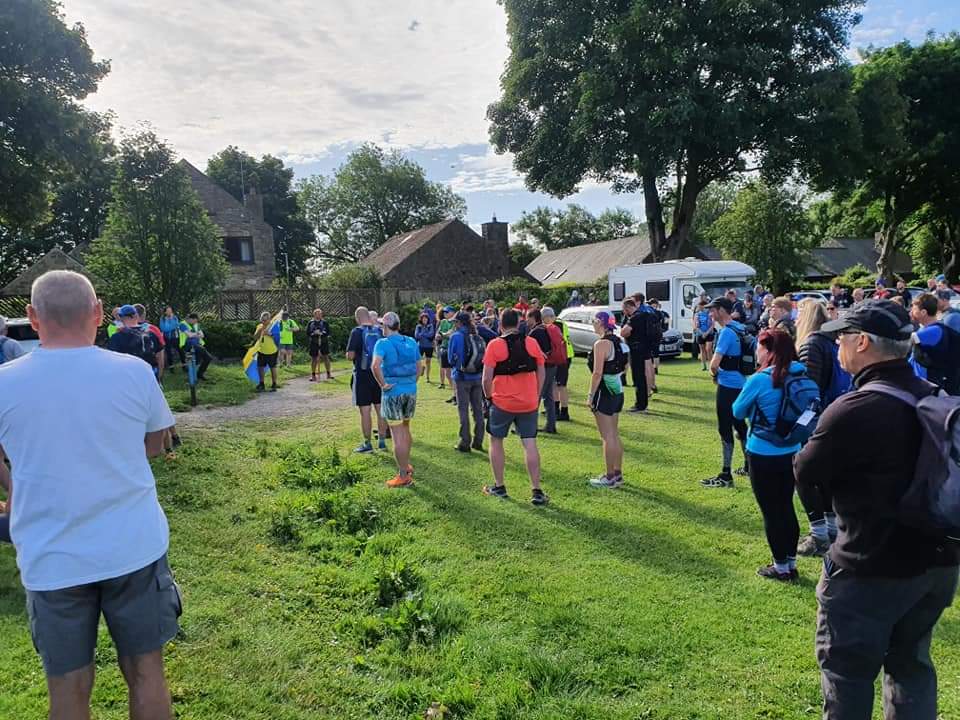
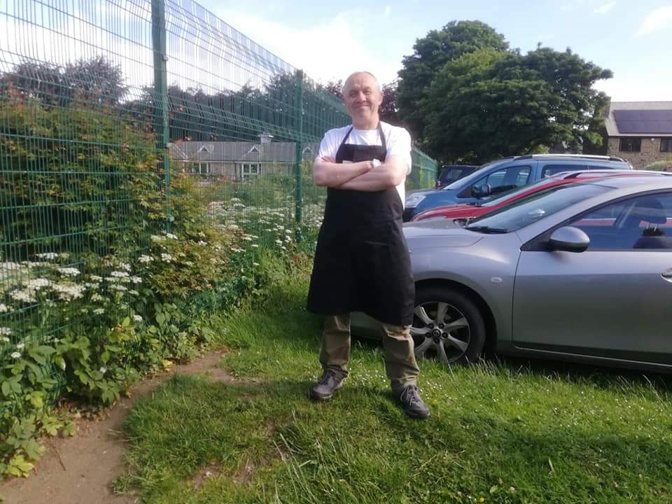
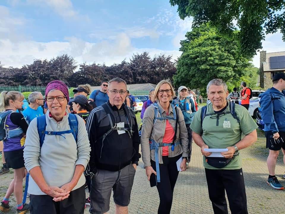
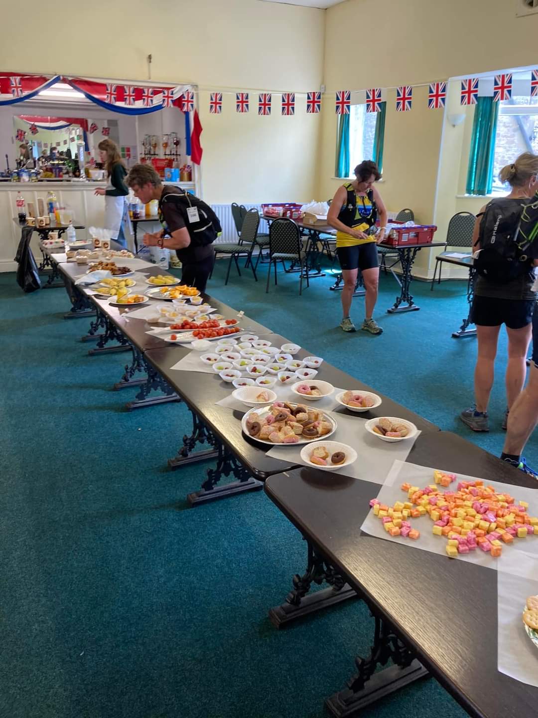
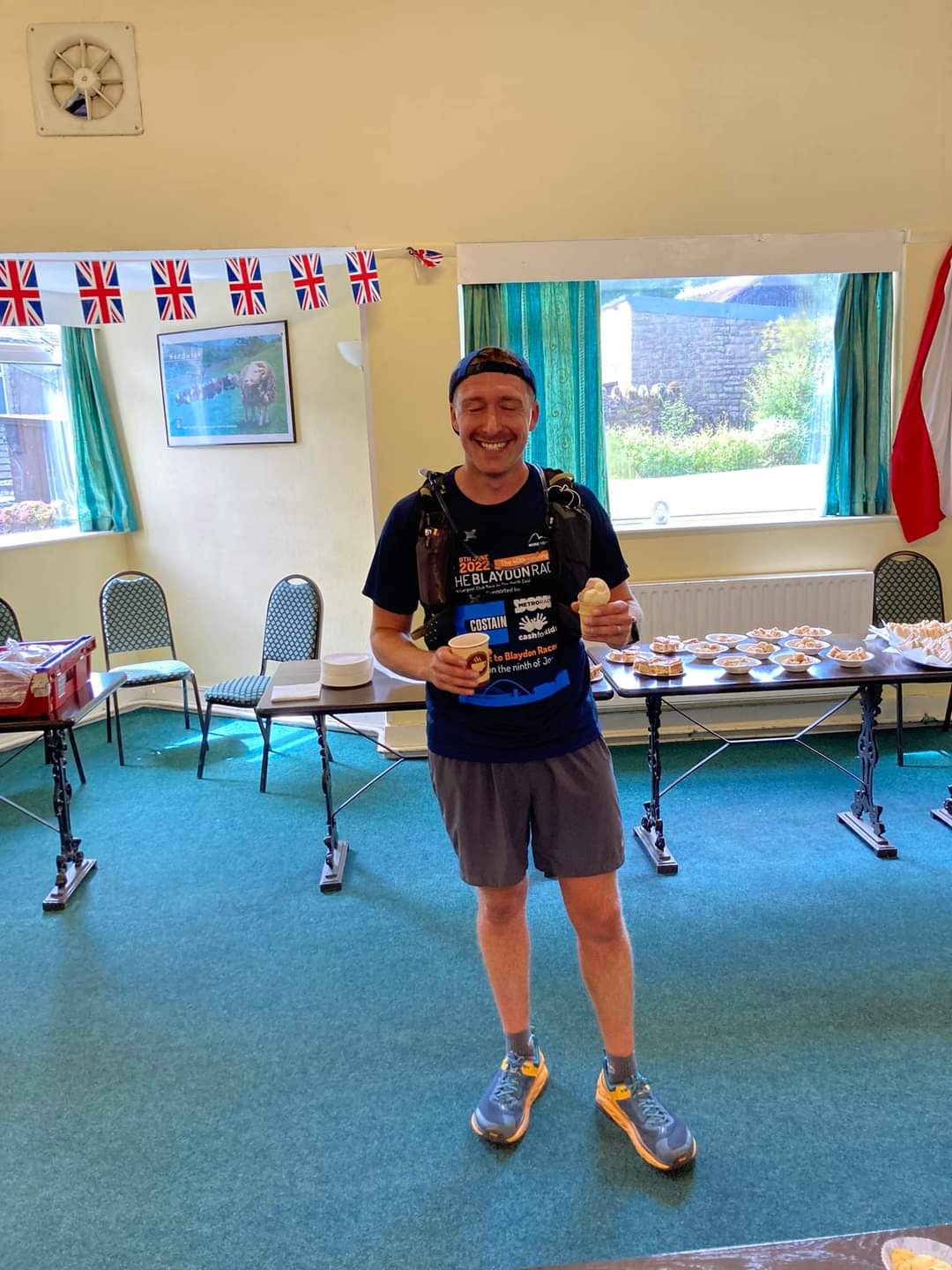
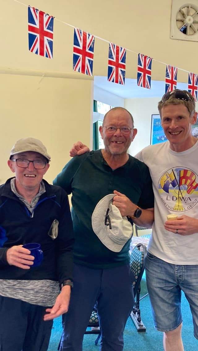
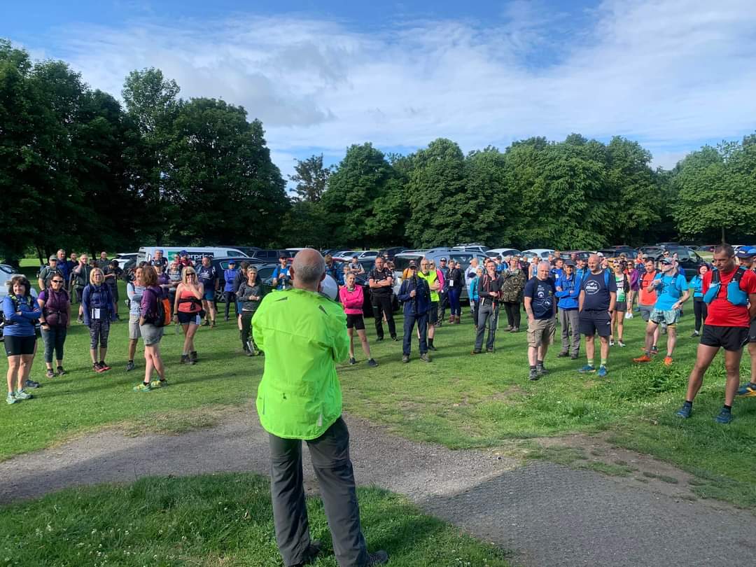
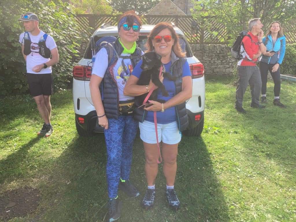
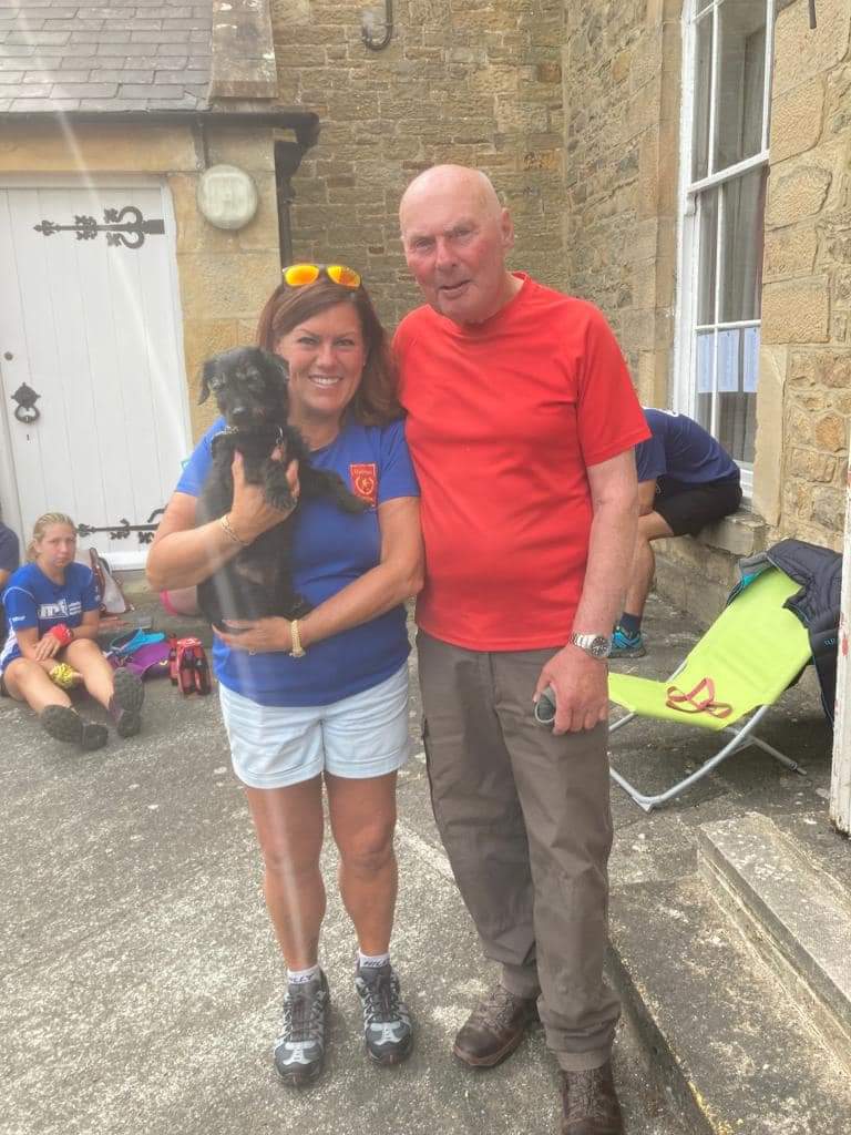
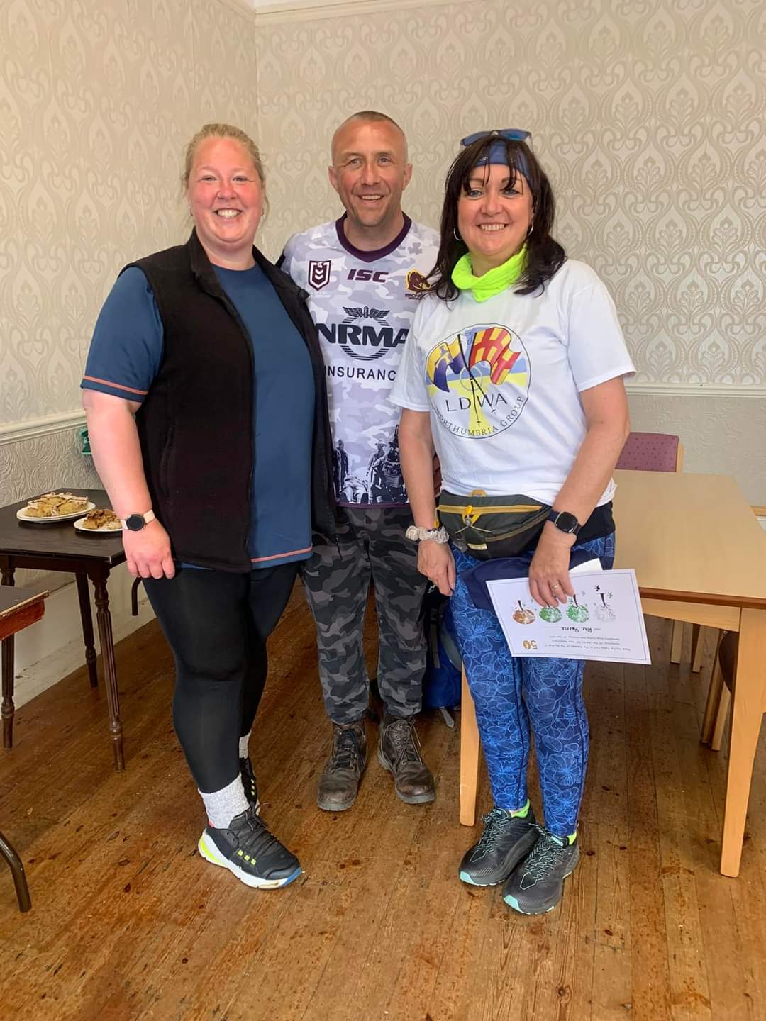
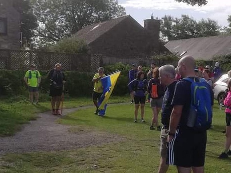
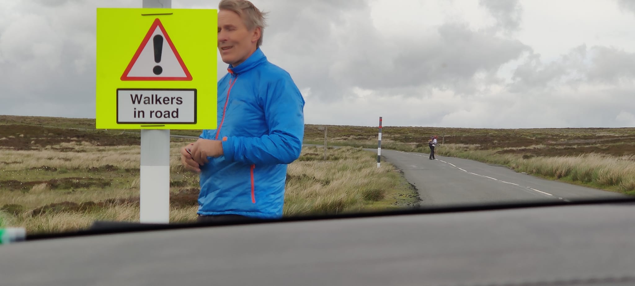
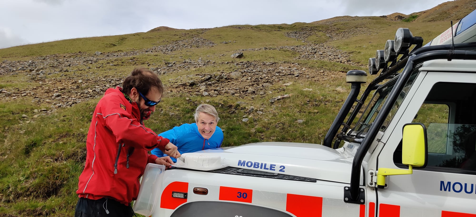
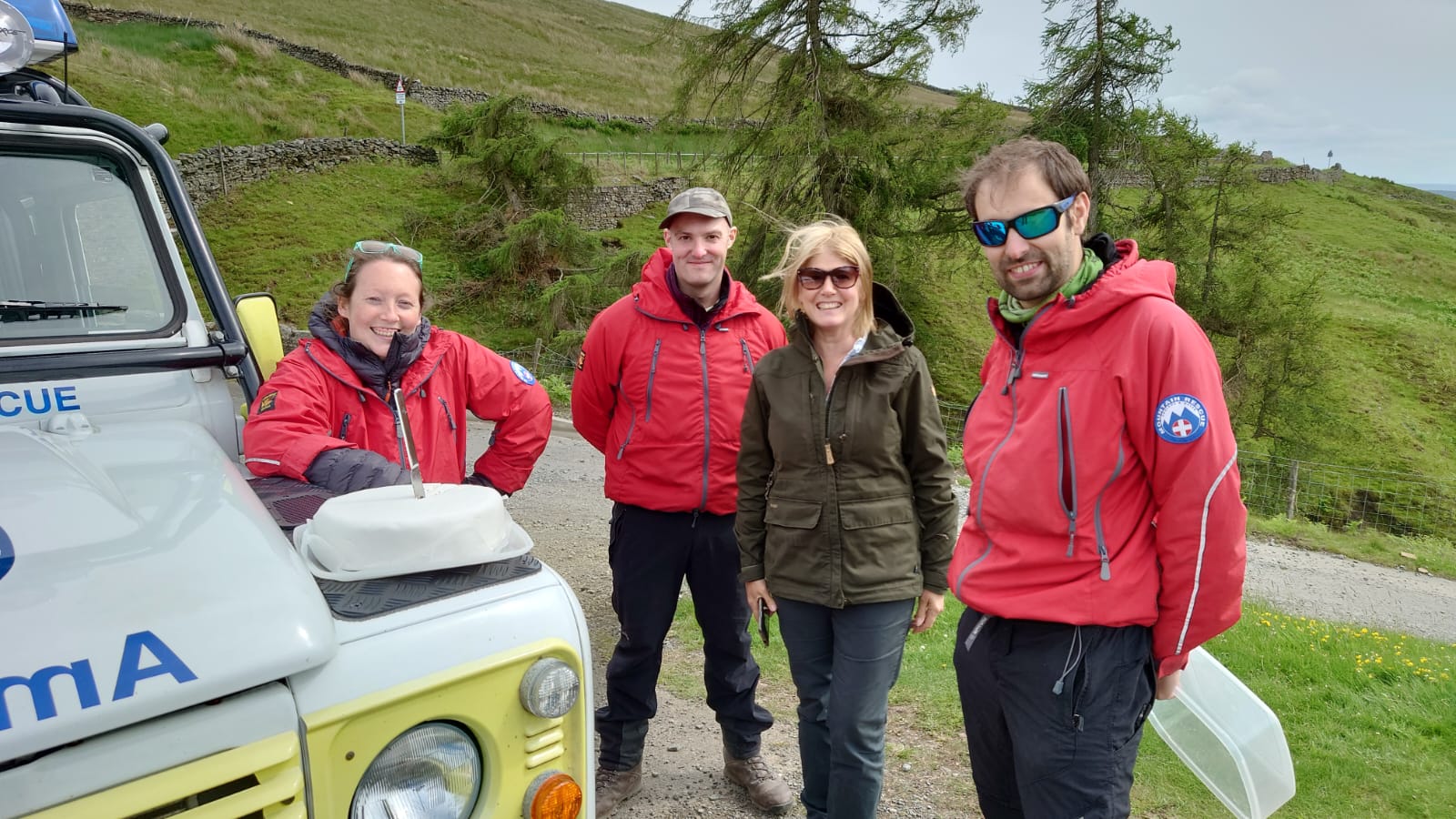
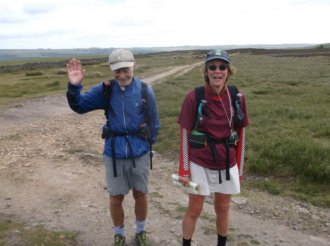
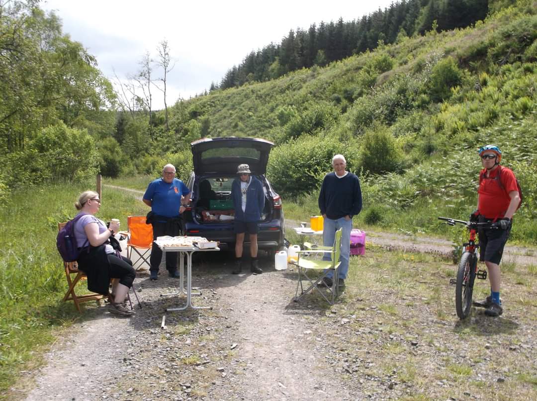
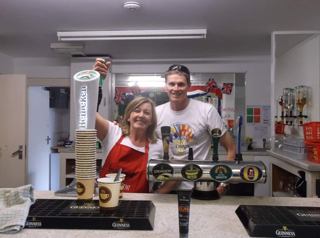
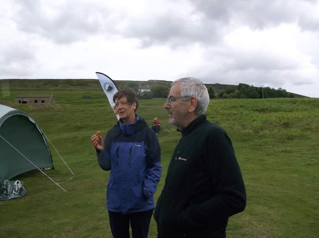
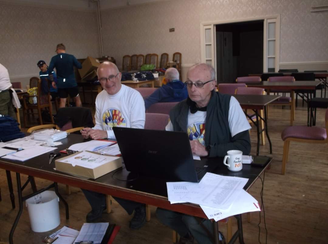
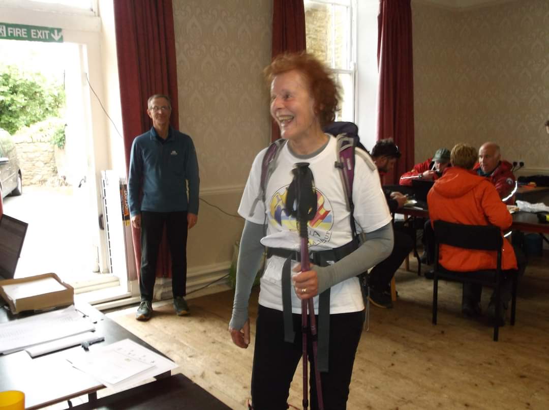
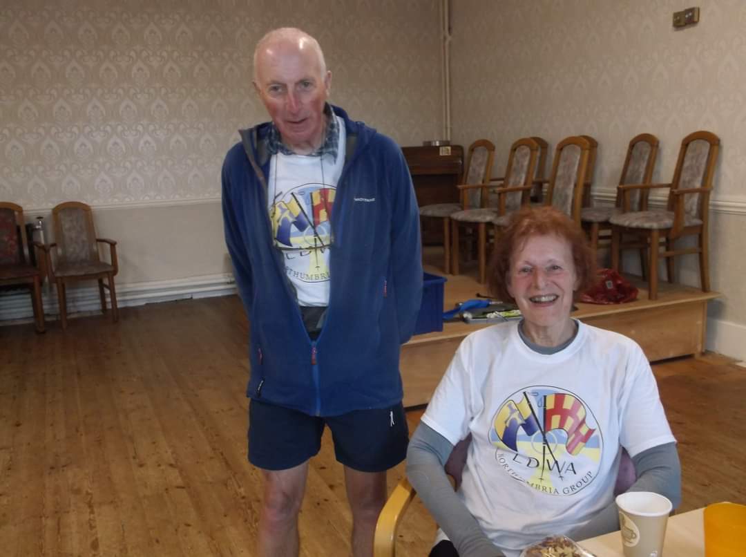
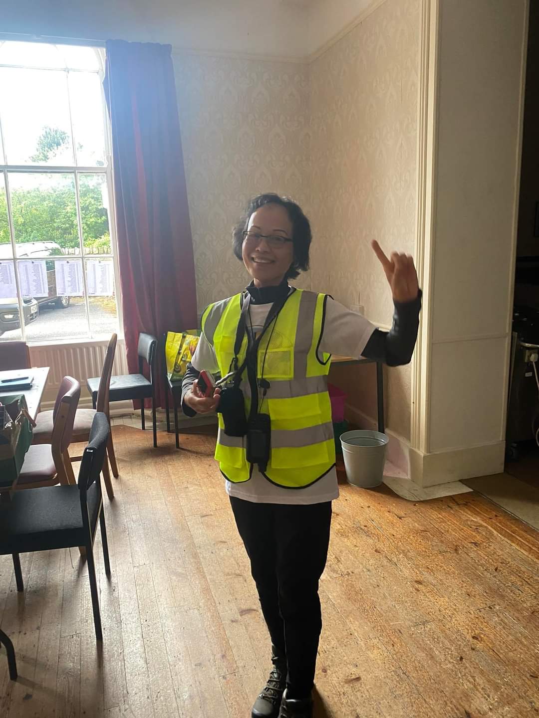
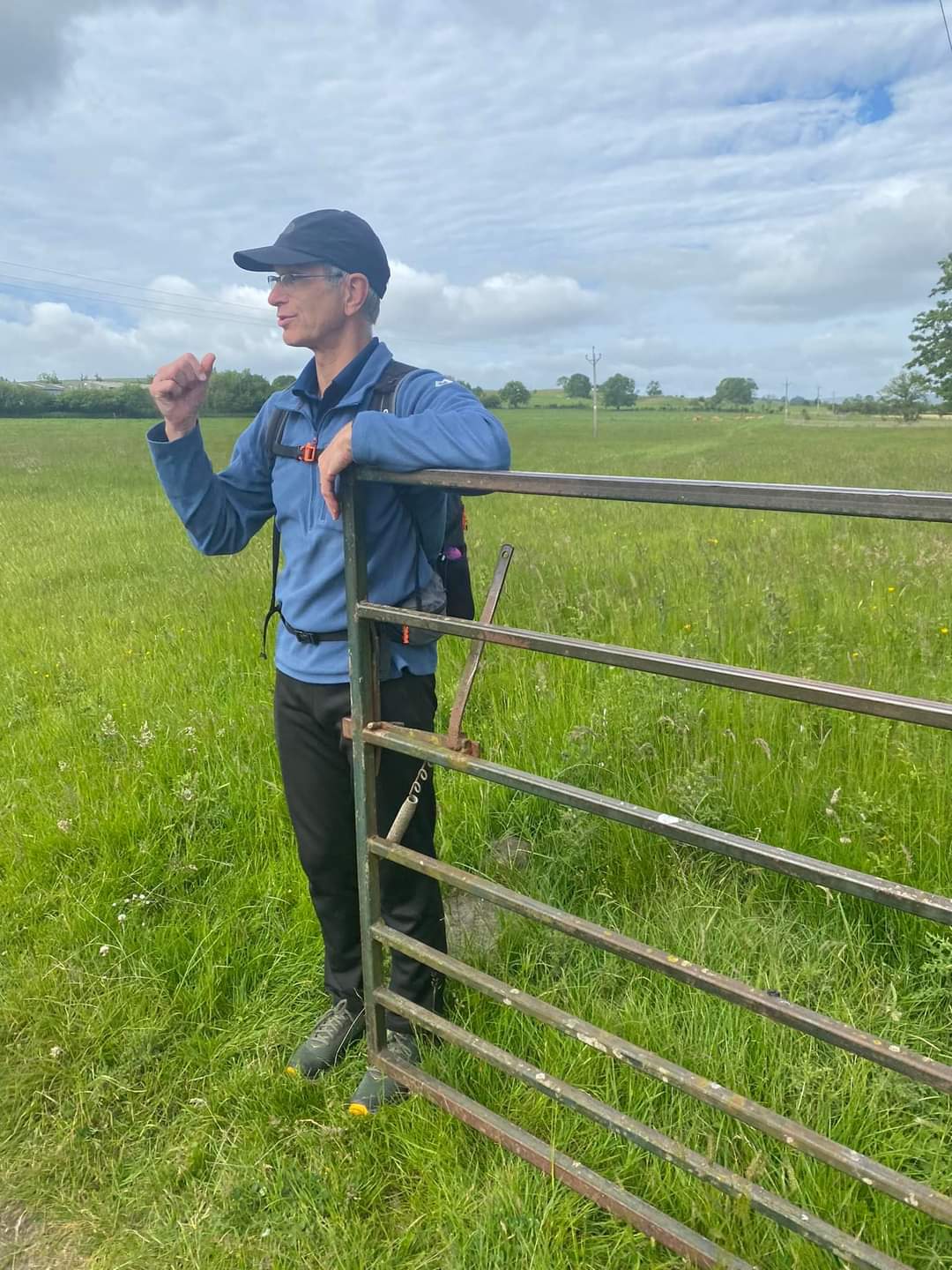
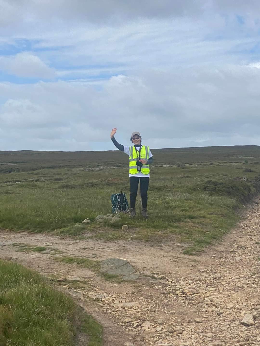
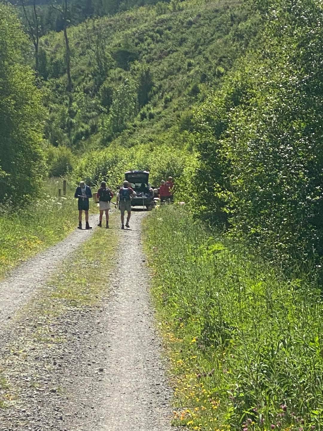
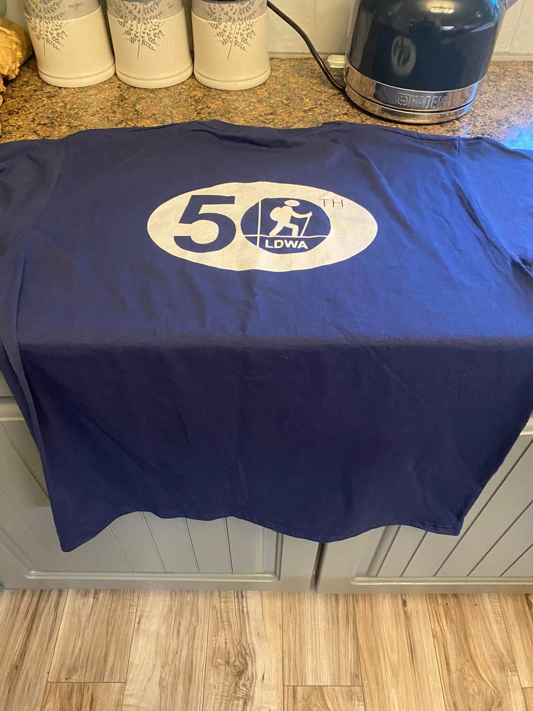
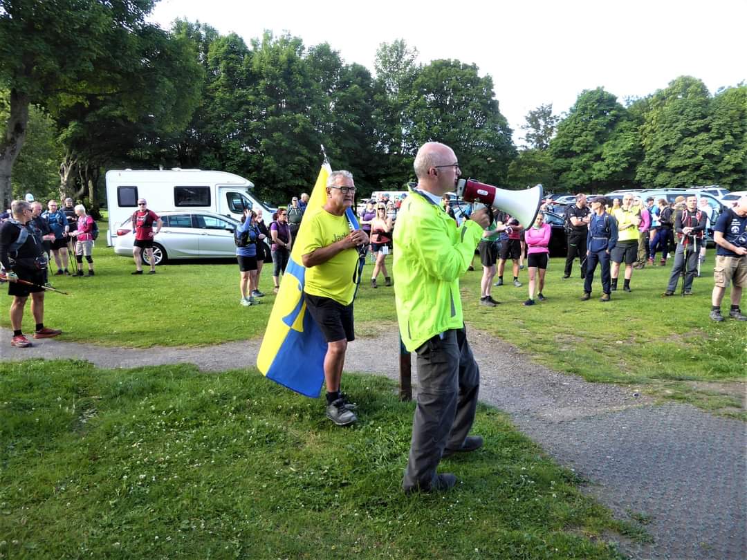
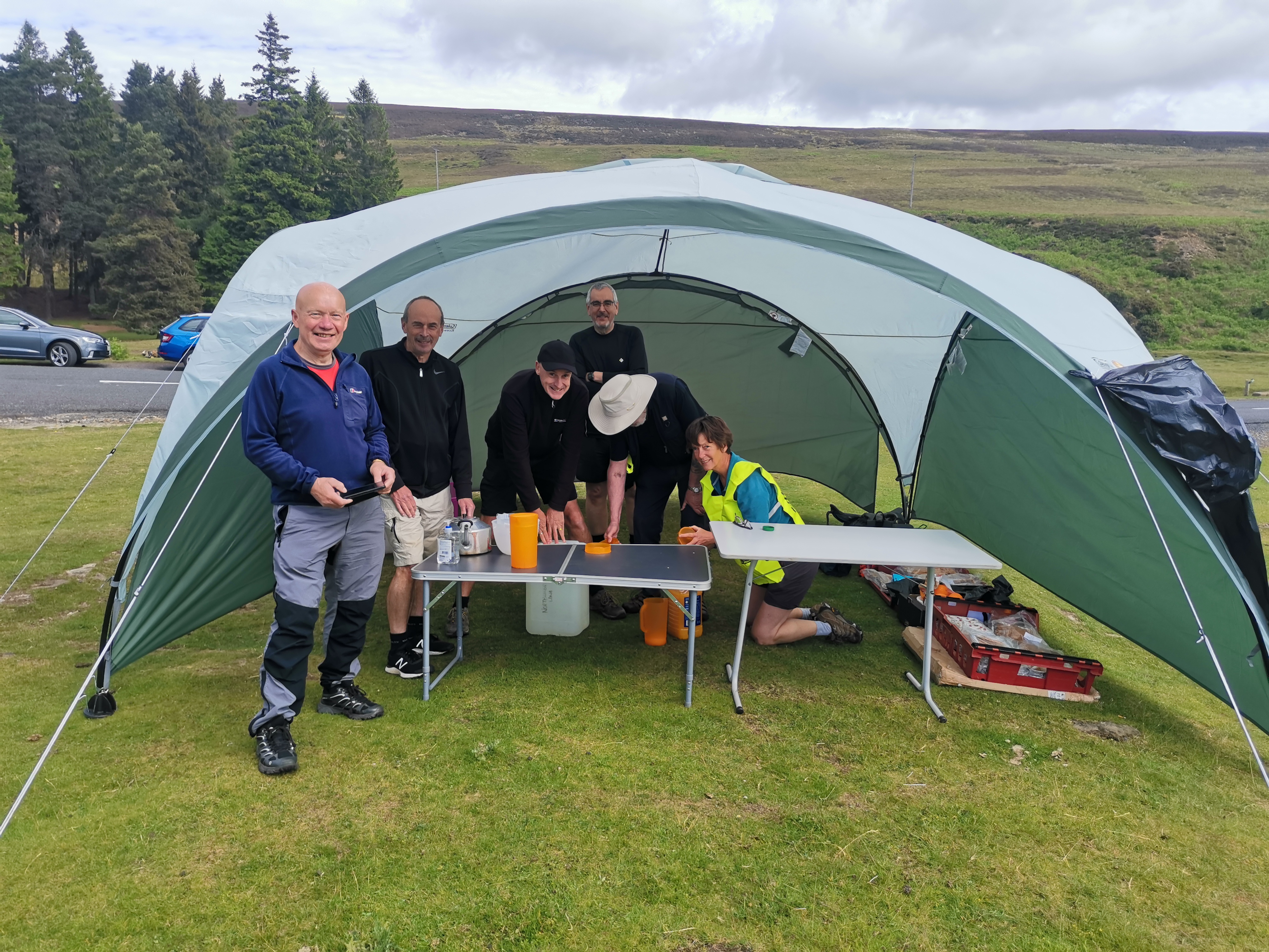
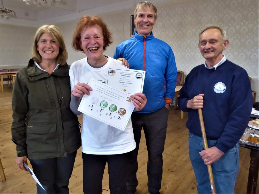
I think I mentioned a couple of weeks ago that challenge walks were no longer going to be my bag going forward!!! Yet on the Monday following the Trans-Pennine 100 I found myself signing up for the Durham Dales Challenge - the DDC 30 mile challenge to be completed in 12 hrs - taking place 18th June - Saturday gone! And the due date 9 o'clock found me in the Recreation Ground at Wolsingham with Paul Nellist blowing the hooter and Ricky leading the way with the Durham flag. It was a perfect summers day. Of course this is not just any challenge it is the local challenge in its 30th year, organised and run by my Northumbria LDWA group. The varied scenery is fantastic. We were back on one of the earlier routes heading up Wear Bank out of Wolsingham, across pasture to the moorland ridge and Sunnyside Edge, on through Hamsterley Forest to the CP above Euden Beck and eventually following the River Tees to the mid way CP at Middleton-in-Teesdale. Thereafter climbing passed old mine workings, across moorland, following tracks to the main road over the Pennines and back in Weardale, descending to a finger post and then over moorland to CP3 at Bollihope. I was definitely on home territory here and had the bit between my teeth, smoke streaming from my boots according to the guys behind who gave up trying to catch me up at this point. I think it was the iced fruit cake the Mountain Rescue team were serving up as we came on to the Pennine road (B6278), fortified further by more nourishment and fluids at the Bollihope CP that gave me the final burst of energy needed to spur me on. My knees no longer allow me to run the last 2miles over the pasture land, but I covered the distance at a stonking pace never the less. It took me 10hrs and 13 mins to complete, certainly not my fastest achieved in 2011, 8.36hrs, but neither my slowest which was in 2018, 10.32hrs, when the route took us over Monks Moor and three of us got lost in quagmire. So not bad given knees no longer allow rapid descents nor hopping over styles with the same ease. Not that I was in to break any records. It was for the pleasure of doing it for the 6th time in the 50th anniversary year of the LDWA. Indeed it was the DDC, first completed in 2003, that introduced me to this amazing organisation and so many equally amazing people. As I jogged up towards the church with the clock showing 7.10pm and HQ at Wolsingham Masonic Hall, I waved delightedly to Bill Milbourne and did a wee jog up the road bouncing into the hall to much clapping, cheering and whistling - as Paul said you'd have thought Beyonce had walked in!!!! It was great - and more than made up for being 32 miles short on completing the 100 two weeks earlier. Many thanks everyone. Thereafter as I munched through Paul Ashman's pie and peas supper, there was much chatter and catching up with fellow walkers, some of which I hadn't seen for some time - great to see Jackie, now Wilson, Ricky and Spike again and of course everyone else - sharing of stories and experiences of the 100 and having more banter with Len the 40 x 100's Legend who was my walking companion on that occasion. I must thank the team, all volunteers, for the most splendid day - for the food that was in abundance and the cheery welcome and support at the CPs, Peter and Adrian who had been out in pouring rain the previous day flagging up at least one if not both sections were the track was obscure (very much appreciated), all those working in the kitchen, for the organisation and planning. So much effort and time goes into making it such an enjoyable experience. Next year I'll hang up my boots for the day and take my turn to help. (Beryl-Anne Massey)Gallery


Maps:
You can use the interactive controls to zoom in and out and to move around the map, or click on a marker for more info. (interactive map help)
Contains Ordnance Survey data © Crown copyright and database right 2016.
© OpenStreetMap contributors under Open Database Licence.
Rights of way data from selected Local Authorities.
Large scale digital mapping is provided by John Thorn.
© OpenStreetMap contributors under Open Database Licence.
Rights of way data from selected Local Authorities.
Large scale digital mapping is provided by John Thorn.


