
Durham Dales Challenge 14, Marshalls Walk
Sat 11th Jun 2022
Walk Details:
The purpose of this walk is to finalise the route, route description and gpx files for the 2022 Durham Dales Challenge Event. It is also an opportunity for those who will be helping out on the actual event to do the walk themselves. I would anticipate that the walk will take in the region of 6 hours to complete. Leaders, Paul Nellist and Paul Ashman
Entry Details:
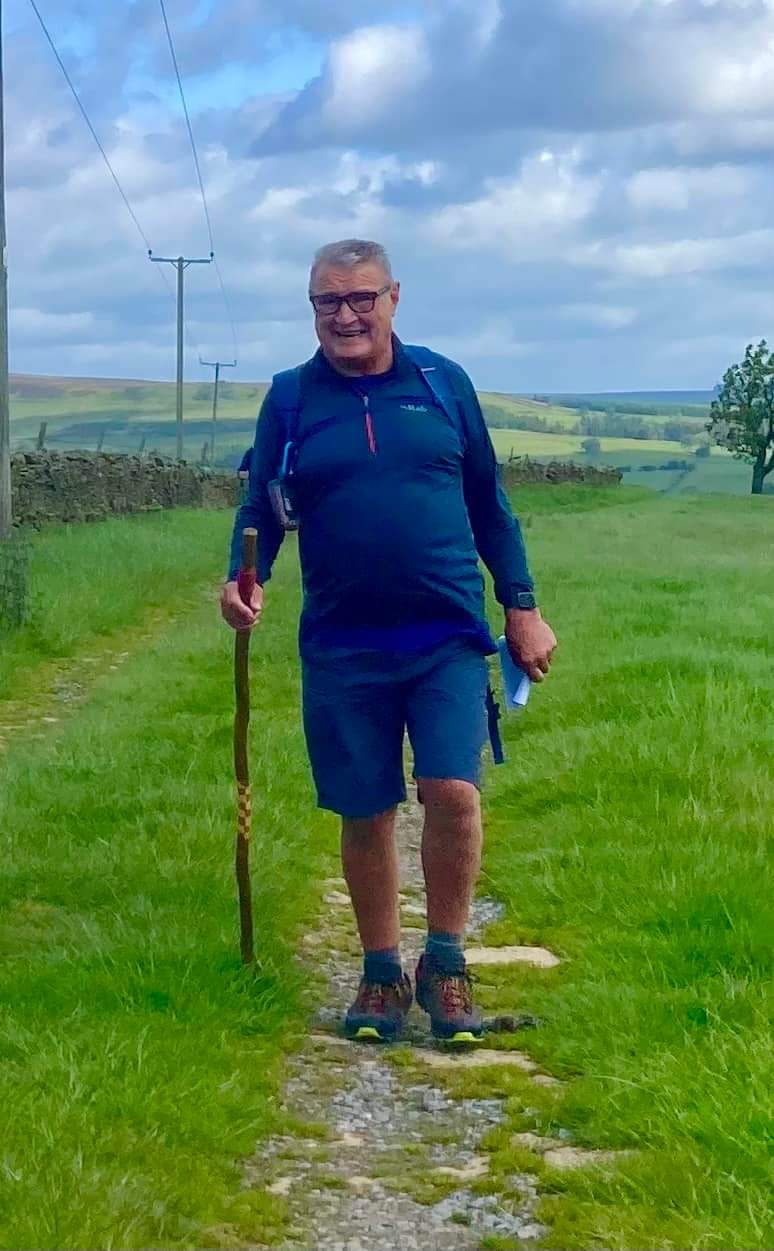
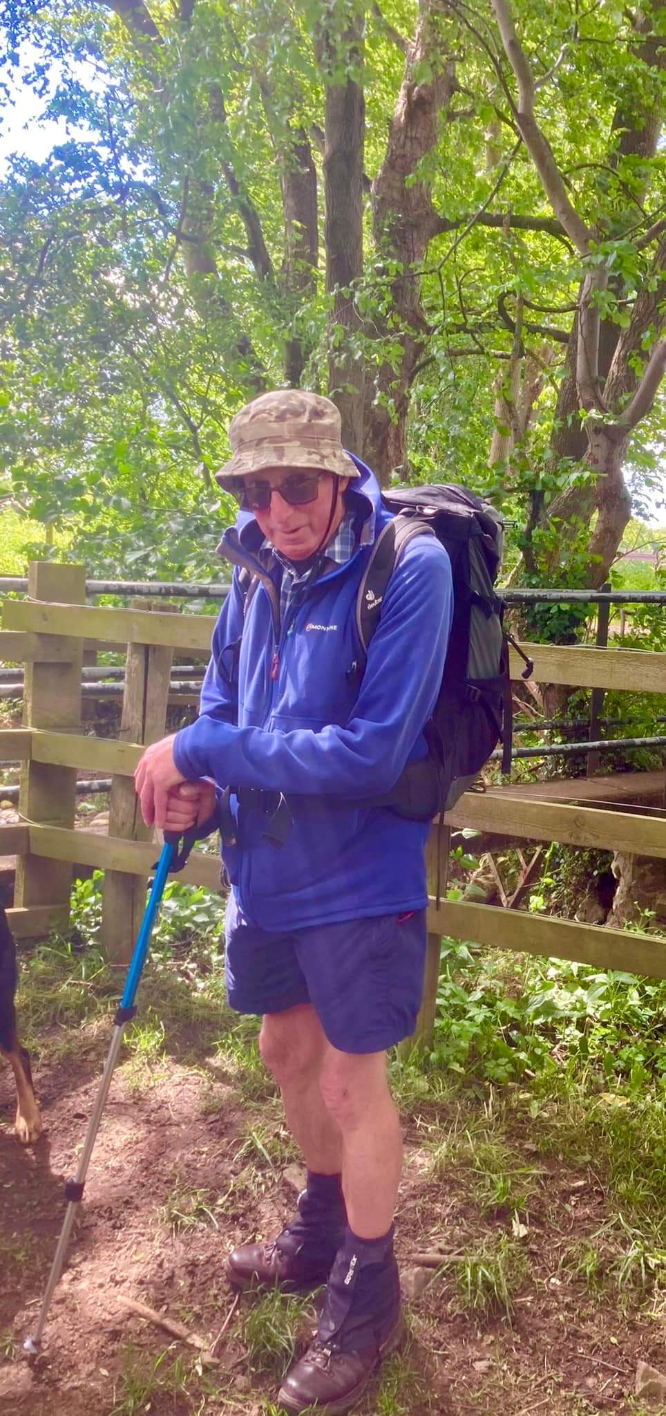
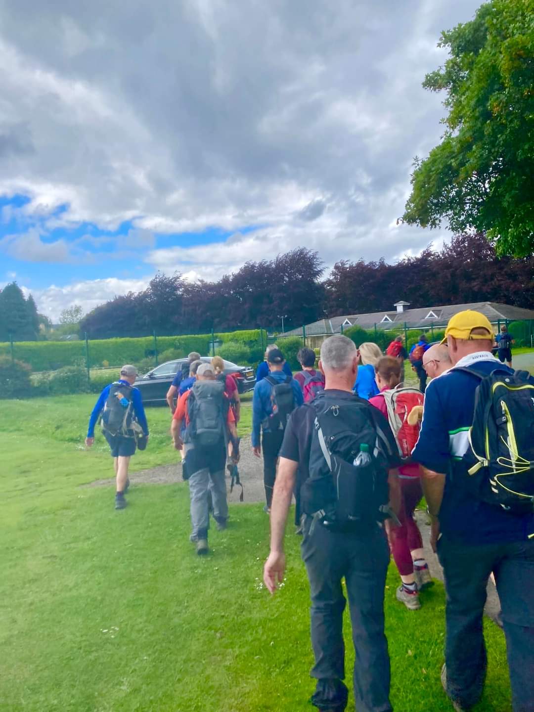
Walk Report
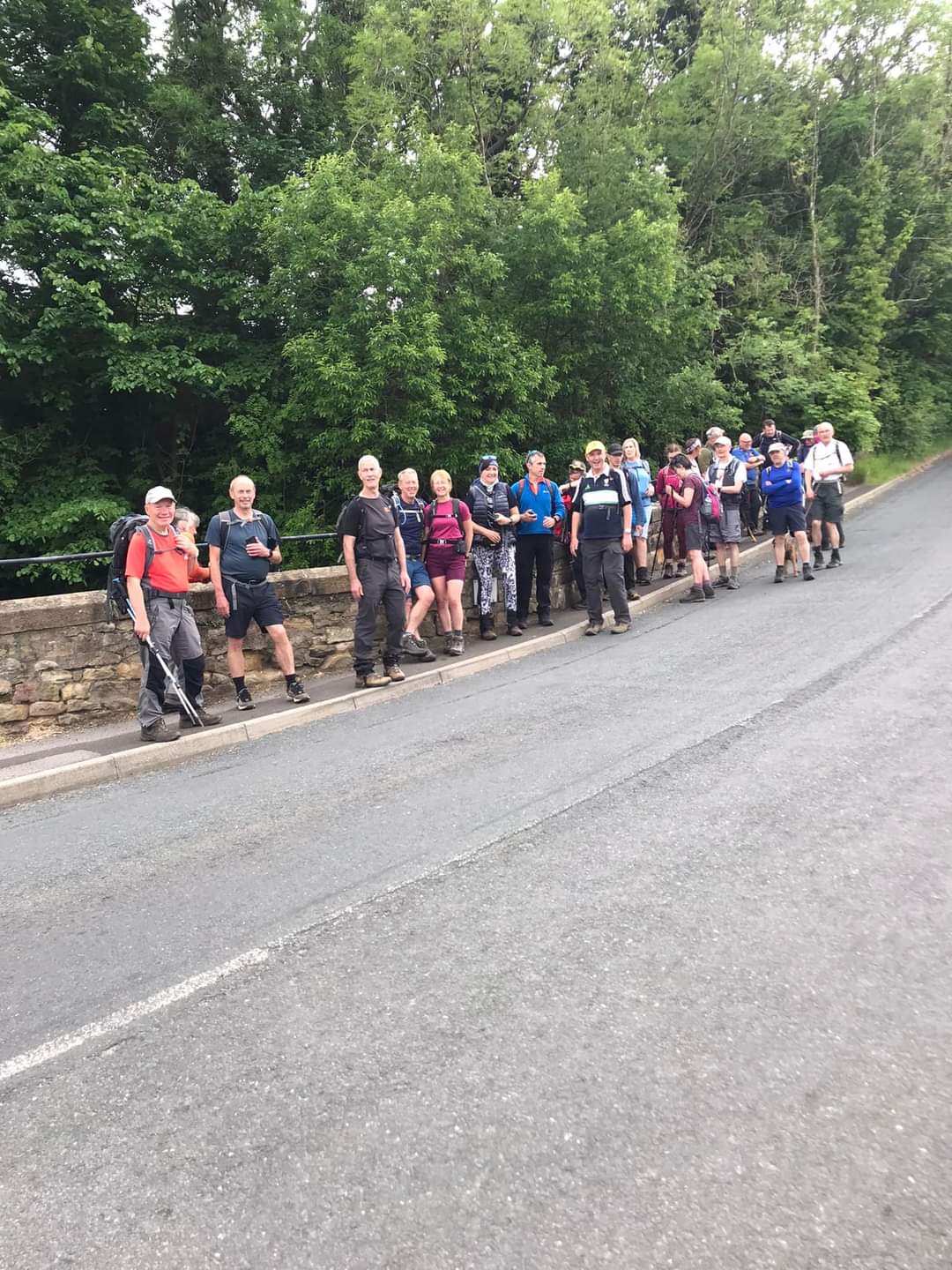
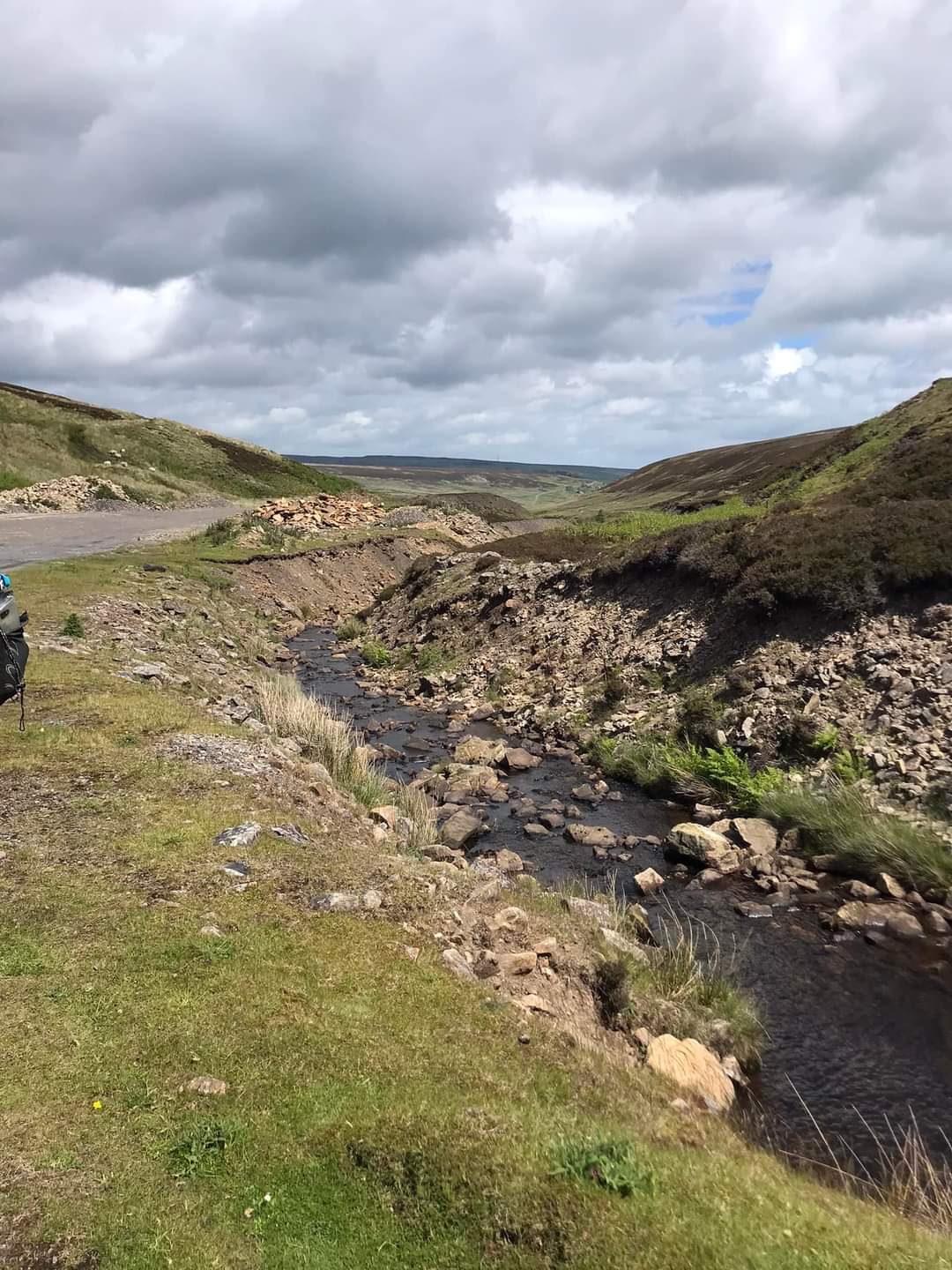
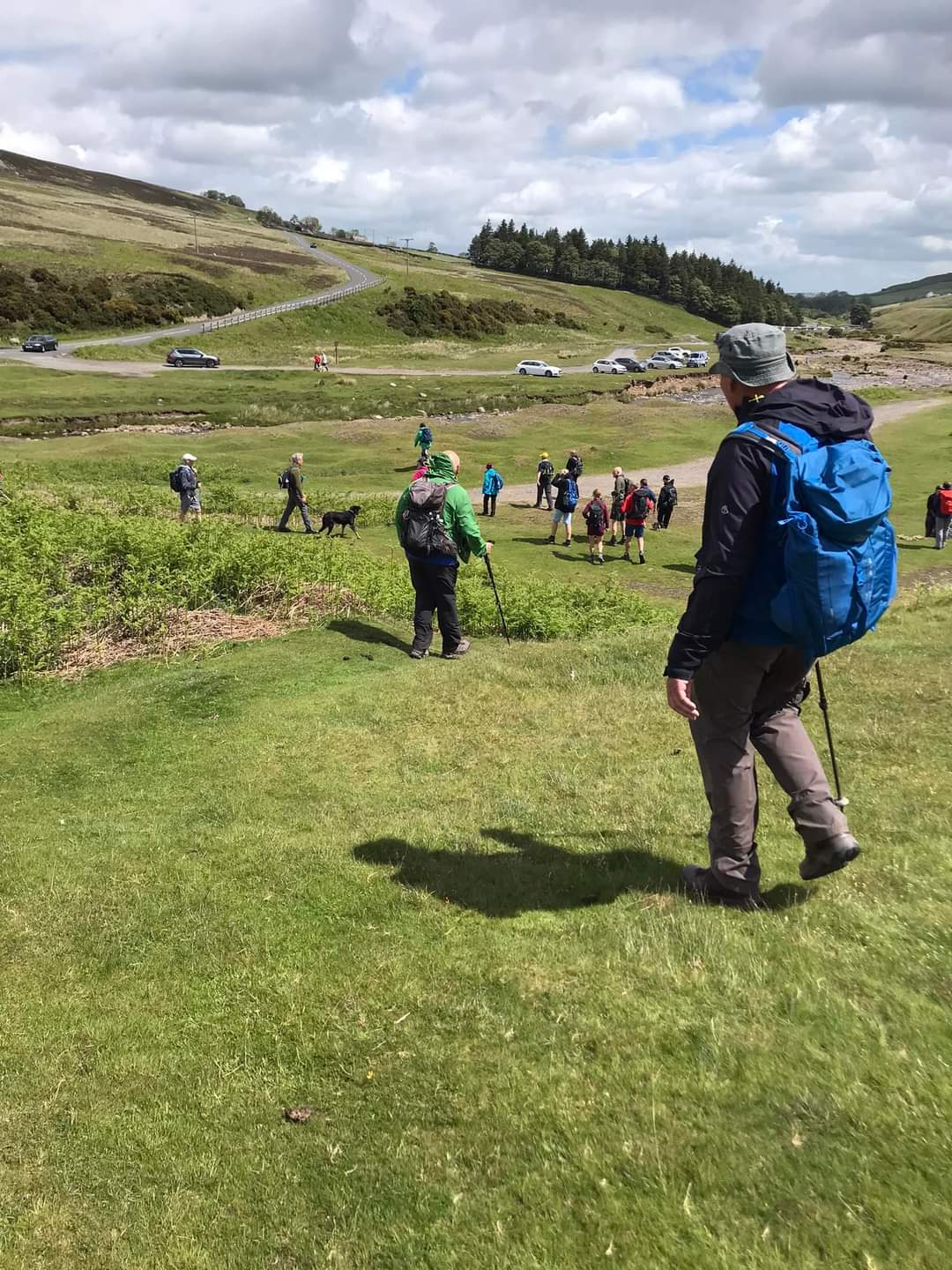
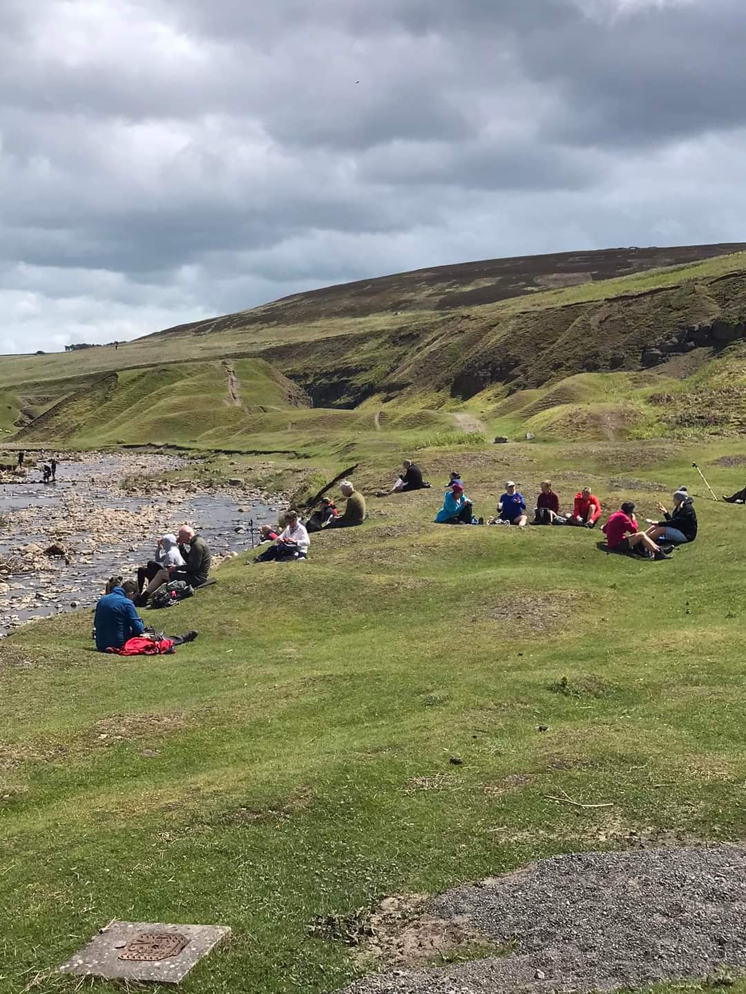
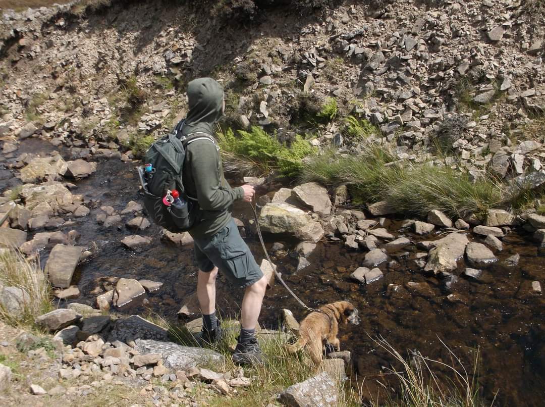
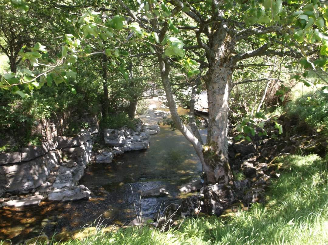
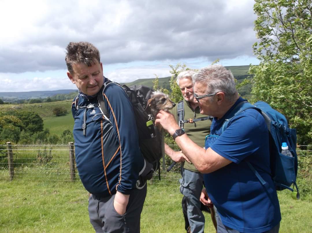
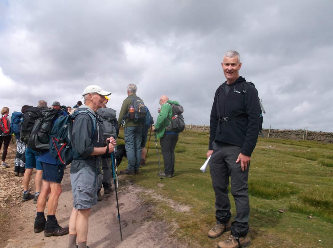
Durham Dales 25km Marshalls walk yesterday. We did the 50km Marshalls walk a couple weeks ago. The purpose of these Marshalls walks are to finalise the routes, route descriptions and gpx files for the 2022 Durham Dales Challenge Event. It is also an opportunity for those who will be helping out on the actual event to do the walks themselves. Only one week to go now. We are getting ready to host the main event on Saturday, 18th June of 2022 after pause for two years due to the pandemic. This will be the 30th Durham Dale Challenge, and this is the 50th anniversary of LDWA. We want to celebrate both with all the participants. I am looking forwards to it. ( Liyang )Other Files
GPX
A GPX file of the above route may be downloaded by clicking the link below.
Note: GPX files of Group Walks are created by LDWA Group members, and may be downloaded only by other LDWA members. They should not be made available outside the LDWA, and are used at members' own risk.
Login to Download (Members Only)You can use the interactive controls to zoom in and out and to move around the map, or click on a path or a marker for more info. (interactive map help)
You can use the interactive controls to zoom in and out and to move around the map, or click on a path or a marker for more info. (interactive map help)
© OpenStreetMap contributors under Open Database Licence
Rights of way data from selected Local Authorities
Large scale digital mapping is provided by John Thorn
At high zoom levels the route is indicative only.
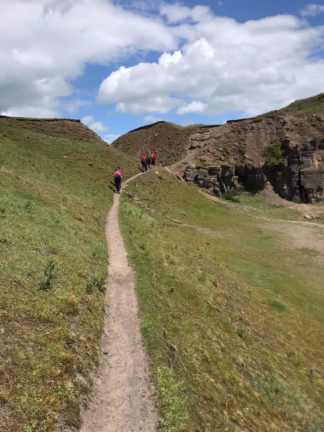
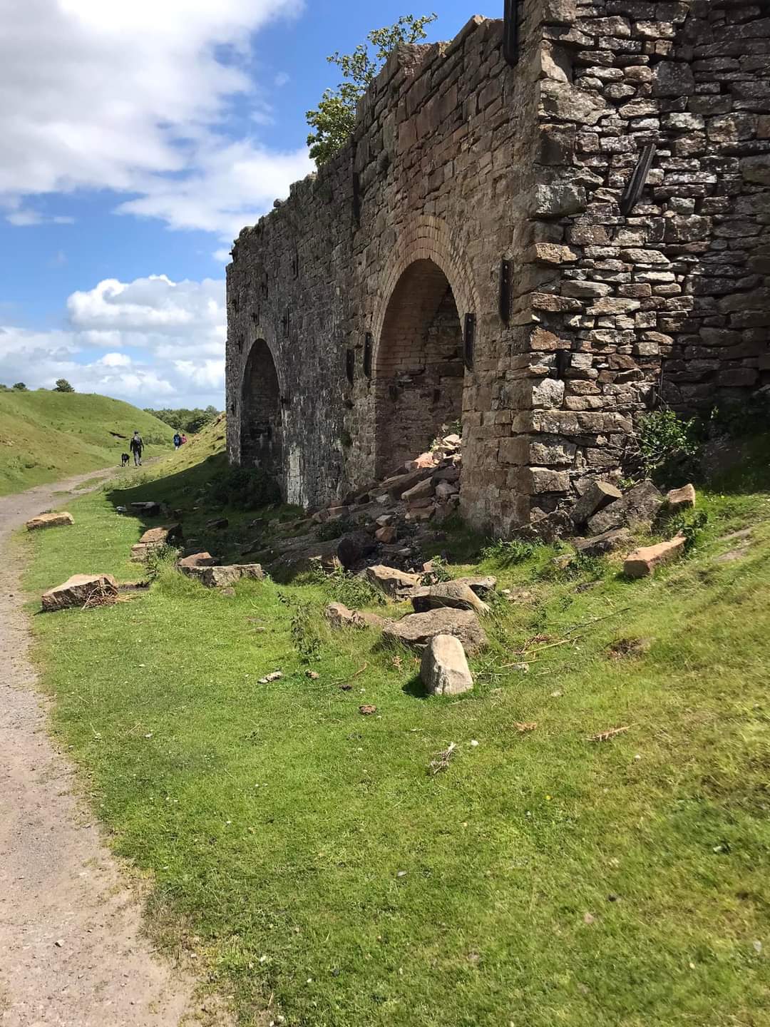
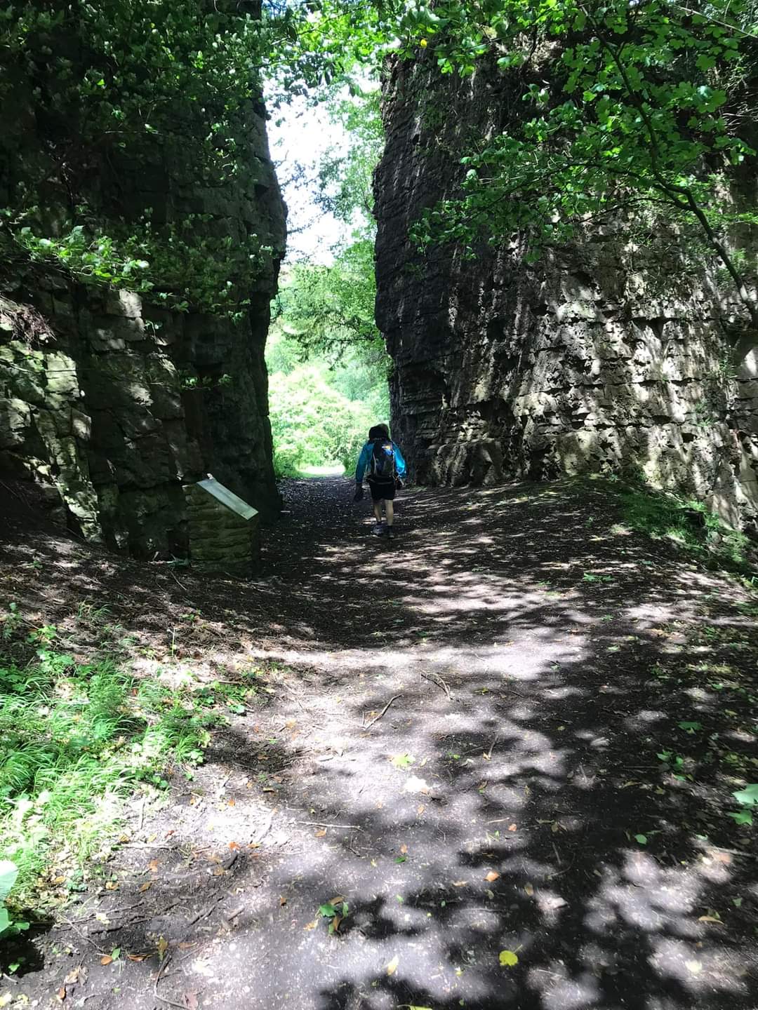
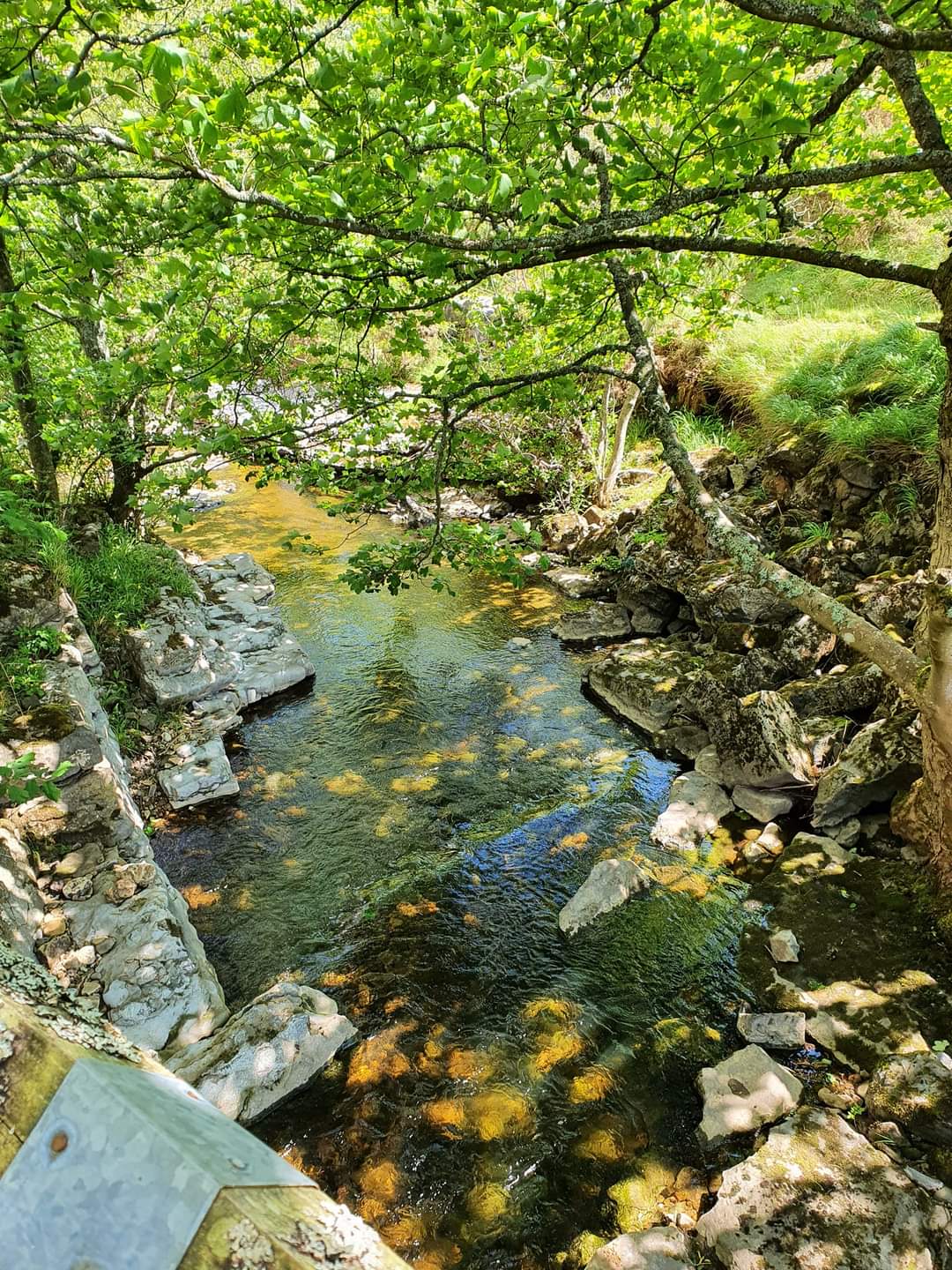
Gallery

Maps:
You can use the interactive controls to zoom in and out and to move around the map, or click on a marker for more info. (interactive map help)
© OpenStreetMap contributors under Open Database Licence.
Rights of way data from selected Local Authorities.
Large scale digital mapping is provided by John Thorn.


