
Durham Dales Challenge 30, Marshalls Walk
Sat 28th May 2022
Walk Details:
The purpose of this walk is to finalise the route, route description and gpx files for the 2022 Durham Dales Challenge Event. It is also an opportunity for those who will be helping out on the actual event to do the walk themselves. I would anticipate that the walk will take in the region of 12 hours to complete. Leaders, Paul Nellist and Paul Ashman
Entry Details:
Walk Report
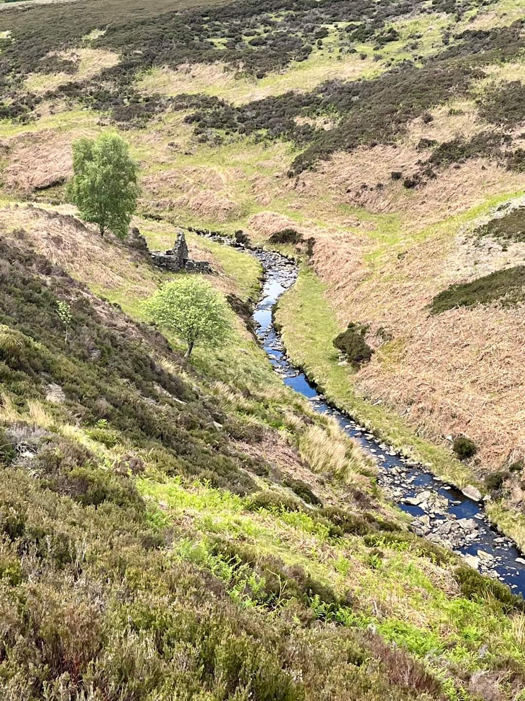
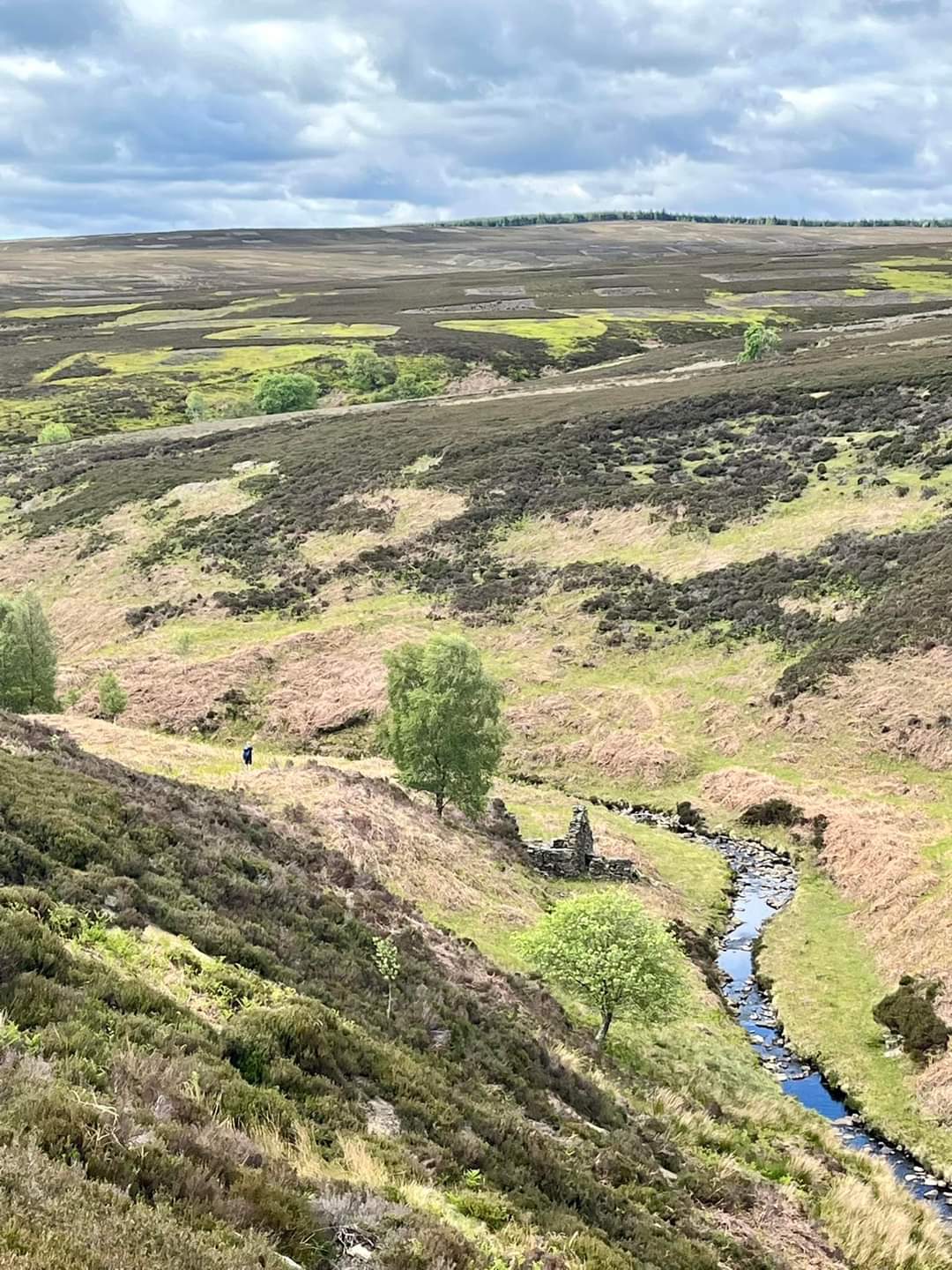
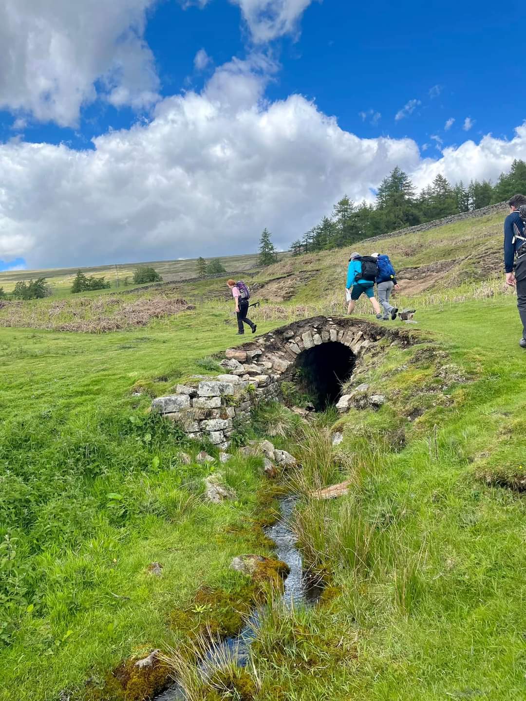
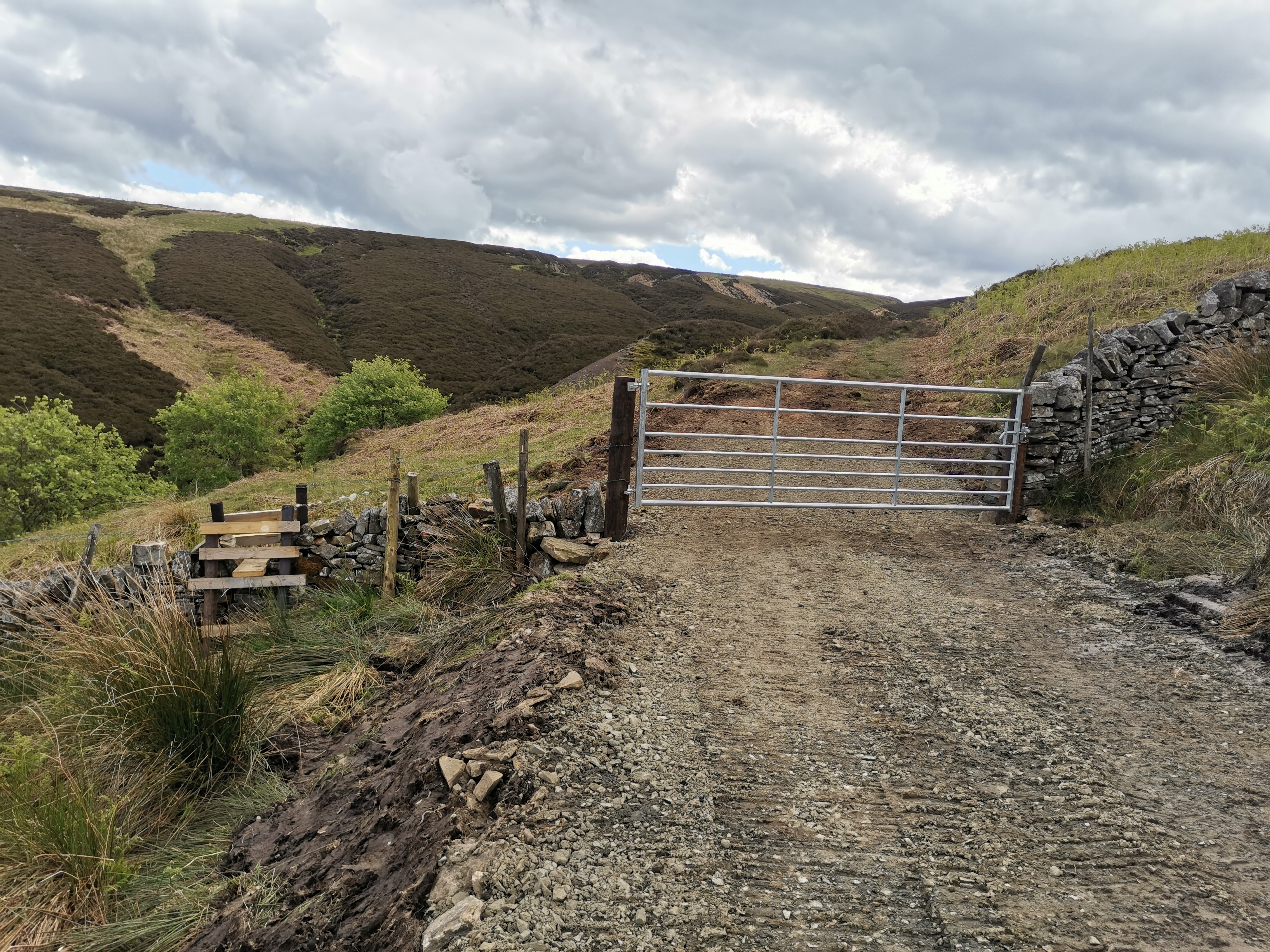
Crossing of North Grains Gill at about NZ046323. Traditionally we have advised, "after stone built ruin in the valley bottom turn R down to stream and look to cross shortly afterwards. This is still advisable, although the path on the other side of the stream is pretty poor for a short while after the crossing. The alternative is to stay high for longer following the actual right of way which does have a reasonable path through the vegetation. However we are not sure about the crossing here if the stream were in spate. So we'll continue to recommend the first option and flag it on the day of the challenge. On descending to Great Eggles Hope at about NY 967031 there used to be a poor path and an awkward stile. This has now been replaced a a wide gravel track. Unfortunately to proceed the choice is now climbing over a double metal gate which is locked, or a poorly designed stile to the side of the gate. When ascending from Little Eggles Hope to the main road you are on a footpath right of way, which is actually a wide gravel track. At about NY 990315 there is a locked double metal gate which needs to be climbed.Other Files
GPX
A GPX file of the above route may be downloaded by clicking the link below.
Note: GPX files of Group Walks are created by LDWA Group members, and may be downloaded only by other LDWA members. They should not be made available outside the LDWA, and are used at members' own risk.
Login to Download (Members Only)You can use the interactive controls to zoom in and out and to move around the map, or click on a path or a marker for more info. (interactive map help)
You can use the interactive controls to zoom in and out and to move around the map, or click on a path or a marker for more info. (interactive map help)
© OpenStreetMap contributors under Open Database Licence
Rights of way data from selected Local Authorities
Large scale digital mapping is provided by John Thorn
At high zoom levels the route is indicative only.
Gallery
Maps:
You can use the interactive controls to zoom in and out and to move around the map, or click on a marker for more info. (interactive map help)
© OpenStreetMap contributors under Open Database Licence.
Rights of way data from selected Local Authorities.
Large scale digital mapping is provided by John Thorn.


