
Mistletoe in Muggleswick
Mon 27th Dec 2021
Walk Details:
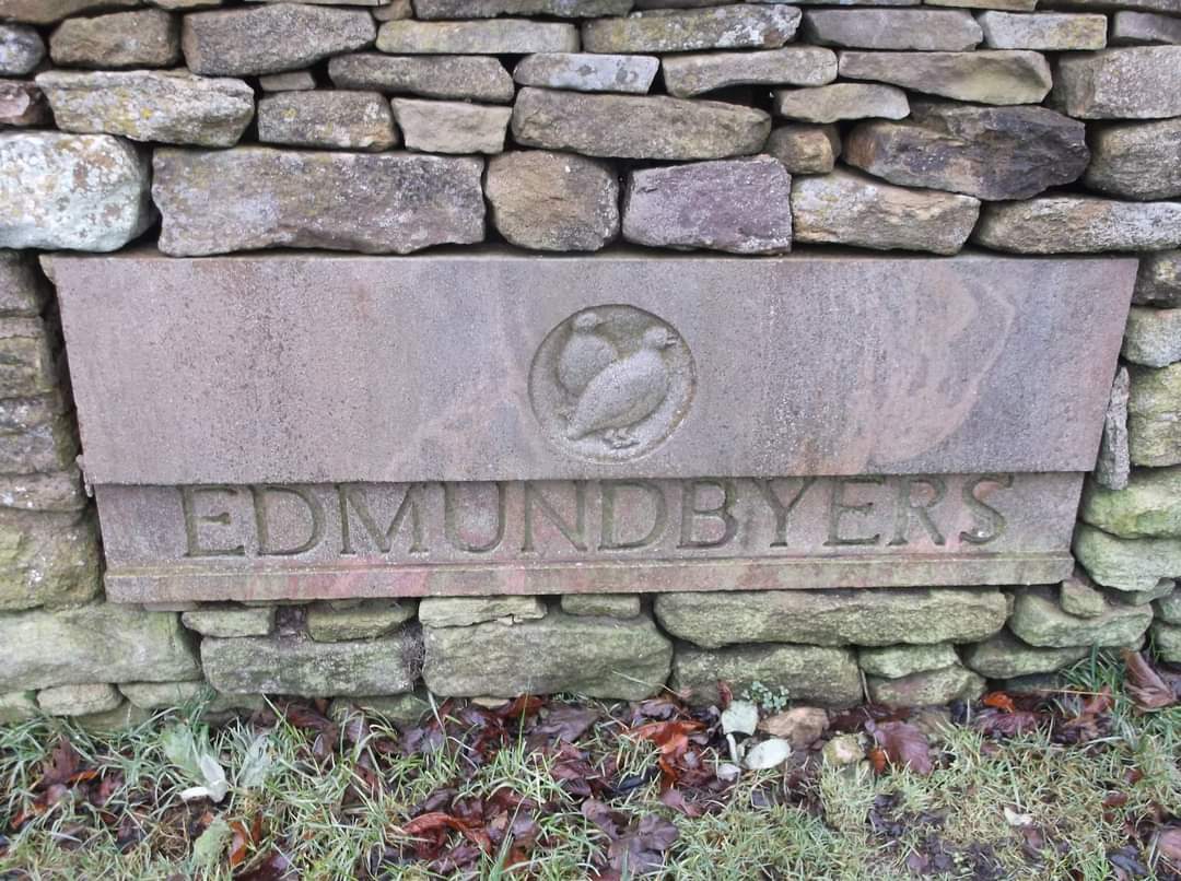
From Allensford head south west into Bog Wood. Follow tracks, minor roads to Muggleswick Park where the path is faint but head up and over to Edumundbyers where we will have our first break. Head out of Edmundbyers SW then east along to Lamb Shield Farm, before heading to Smiddle Shaw Reservoir where we will have lunch stop. After lunch return back to Allensford via footpaths through High Hosleyhope, Middle Hosleyhope, Warnely Hill and Bog Wood
Entry Details:
Walk Report
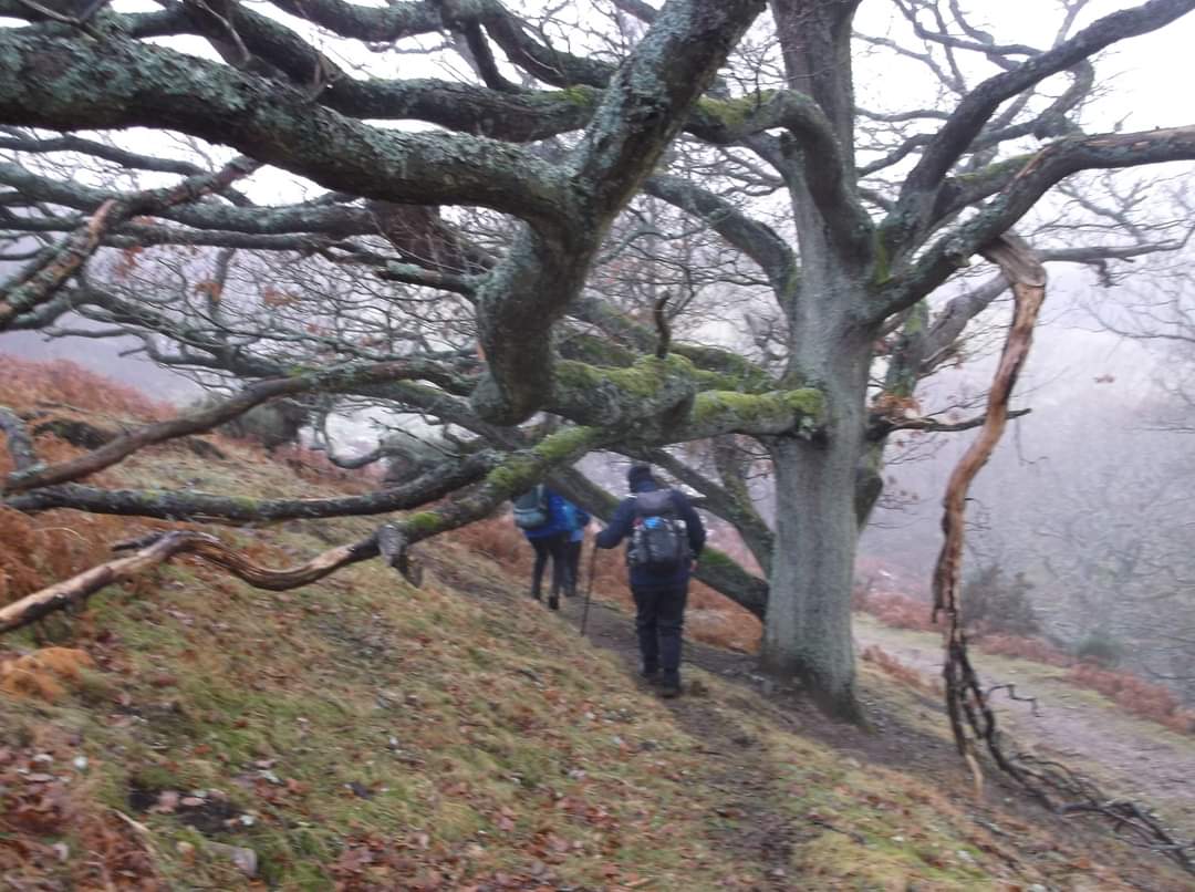
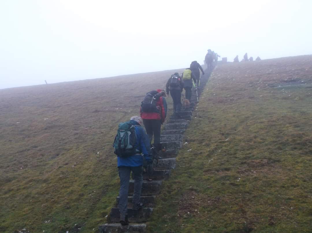
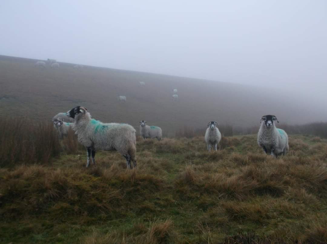
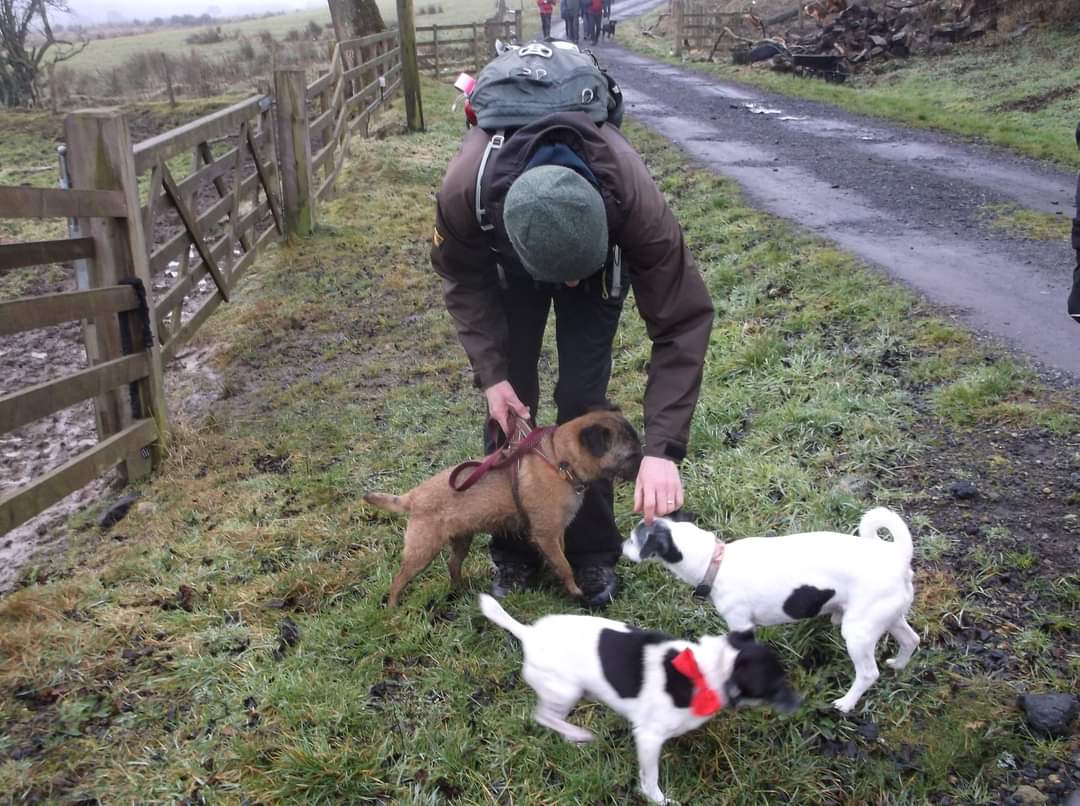
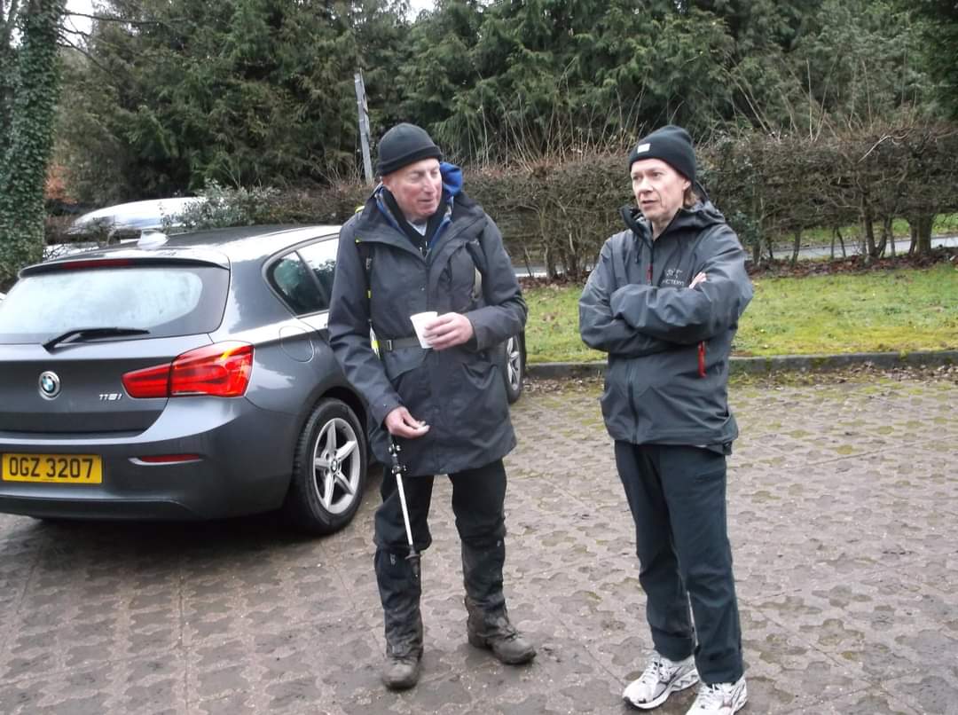
Led by Julie Carolan and Michelle Orton. Bit of an overcast, misty sort of day which gave the moors of Muggleswick Common a moody look. The car park at Allensford is an ideal starting point, free and easy to locate. 21 walkers. 16 miles in the end, with 646 metres of ascent which took us 6 hrs 45 mins, finishing well before dark. Mulled wine and sweet mince pies provided by the excellent leaders at the end.Other Files
GPX
A GPX file of the above route may be downloaded by clicking the link below.
Note: GPX files of Group Walks are created by LDWA Group members, and may be downloaded only by other LDWA members. They should not be made available outside the LDWA, and are used at members' own risk.
Login to Download (Members Only)You can use the interactive controls to zoom in and out and to move around the map, or click on a path or a marker for more info. (interactive map help)
You can use the interactive controls to zoom in and out and to move around the map, or click on a path or a marker for more info. (interactive map help)
© OpenStreetMap contributors under Open Database Licence
Rights of way data from selected Local Authorities
Large scale digital mapping is provided by John Thorn
At high zoom levels the route is indicative only.
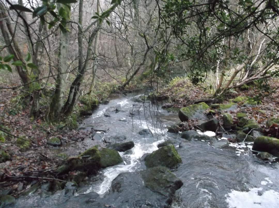
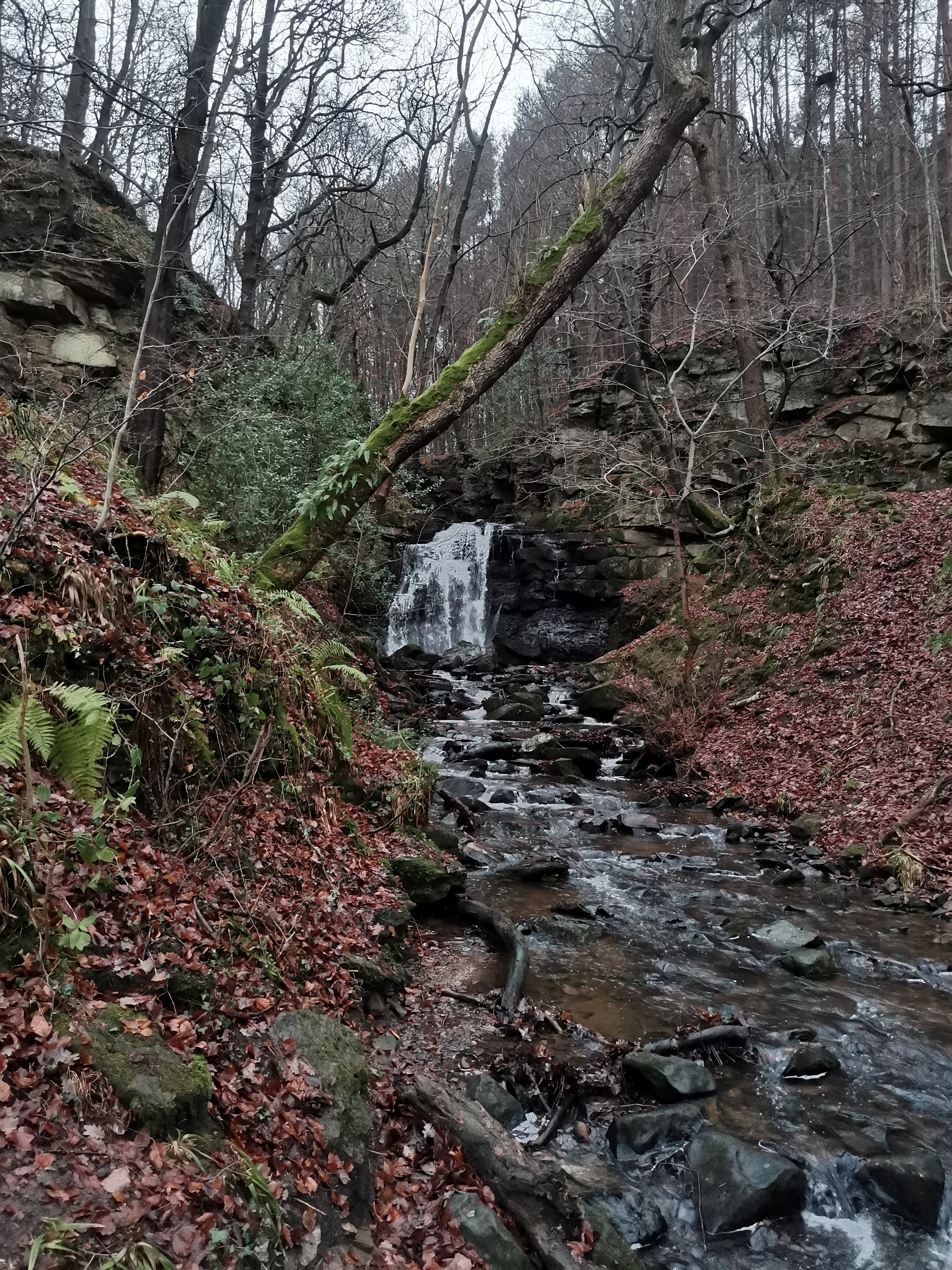
Gallery
Maps:
You can use the interactive controls to zoom in and out and to move around the map, or click on a marker for more info. (interactive map help)
© OpenStreetMap contributors under Open Database Licence.
Rights of way data from selected Local Authorities.
Large scale digital mapping is provided by John Thorn.


