
Newcastle History Walk
Sat 11th Dec 2021
Walk Details:
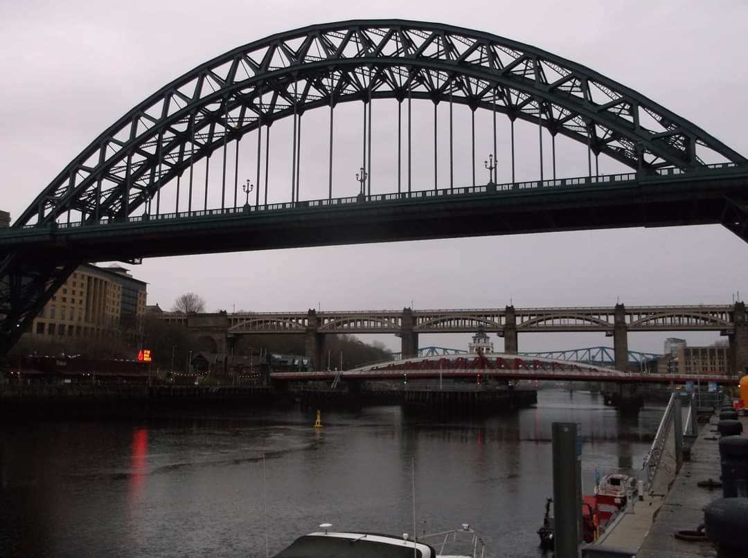
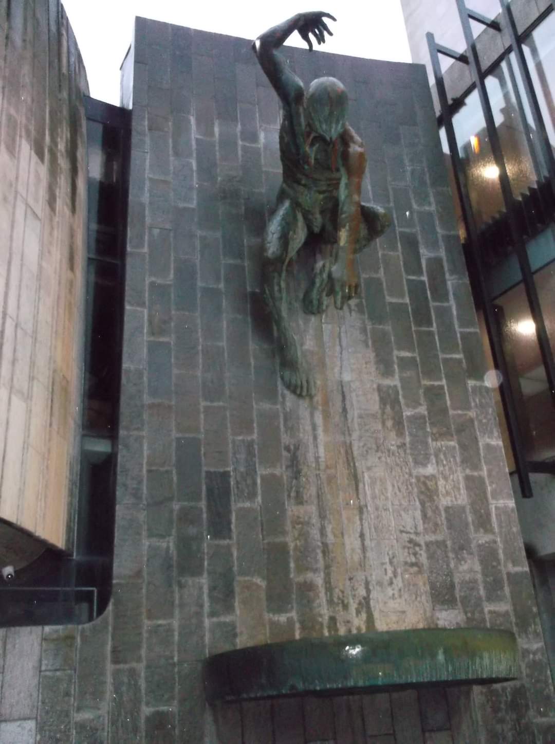
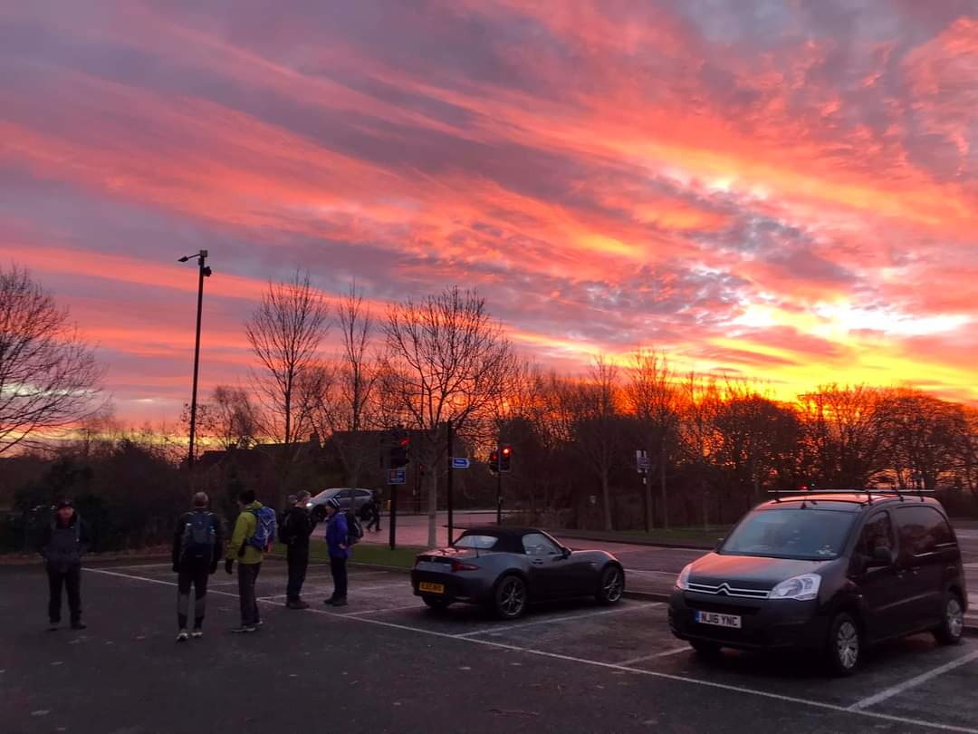
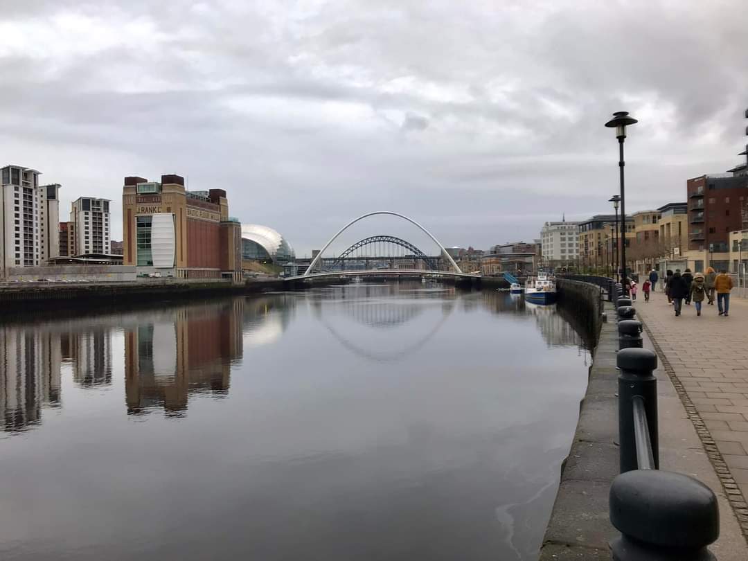
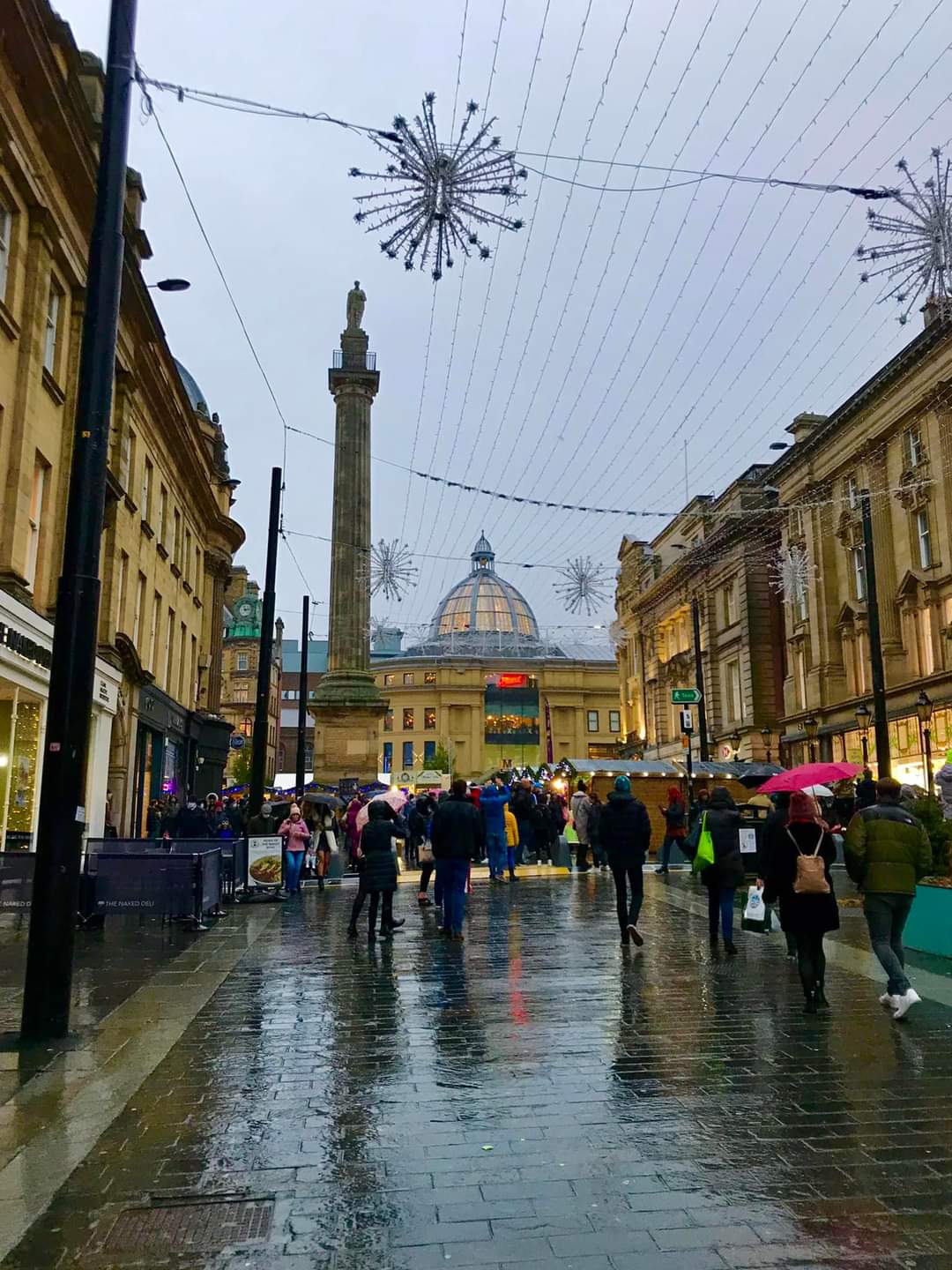
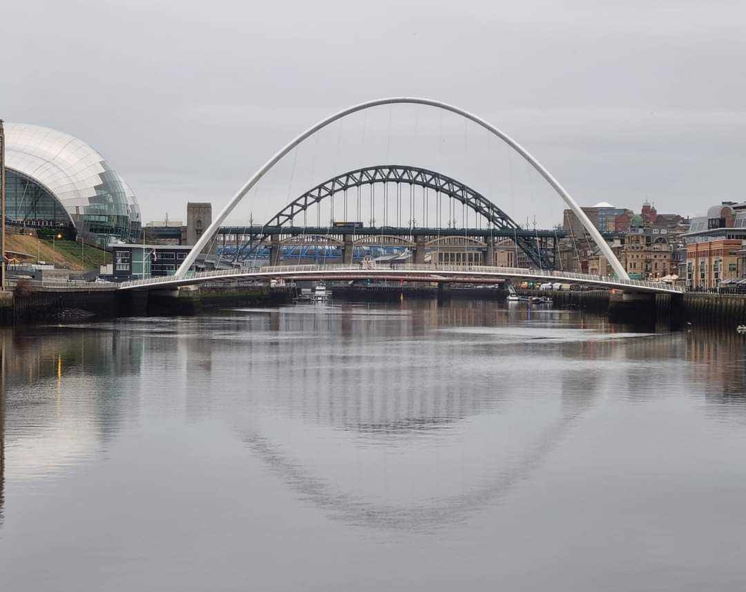
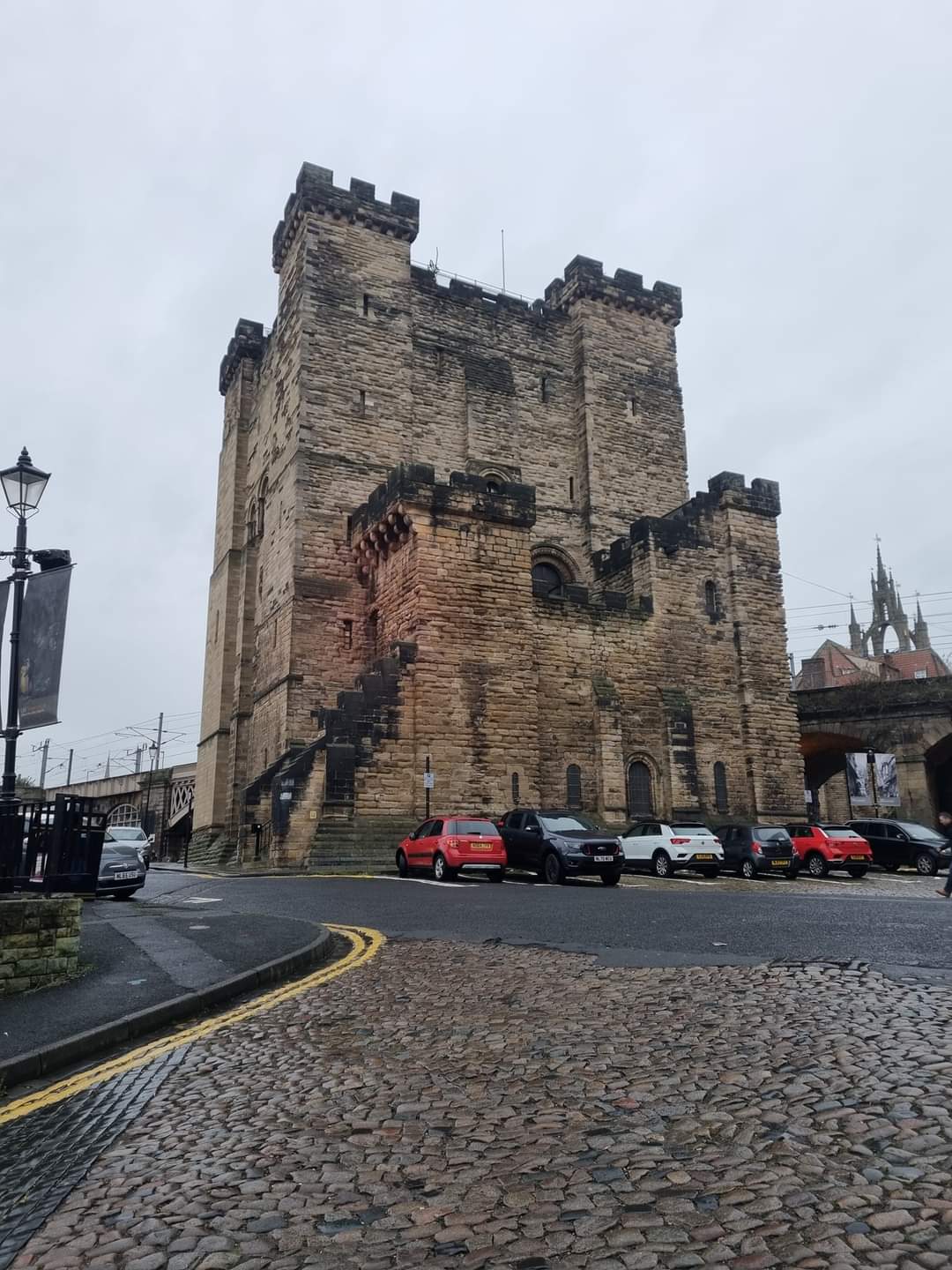
Heaton Hawks car park, Wallsend rising sun, West Moor, South Gosforth, Jesmond Dean to Newcastle Quayside via Armstrong, Heaton and Ouseburn Parks. Through the city to Brandling Village, West Jesmond House. Paddy Freemans park and back to Heaton Hawks car park
Entry Details:
Walk Report
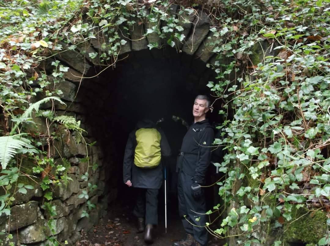
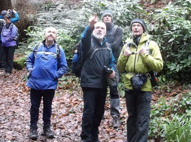
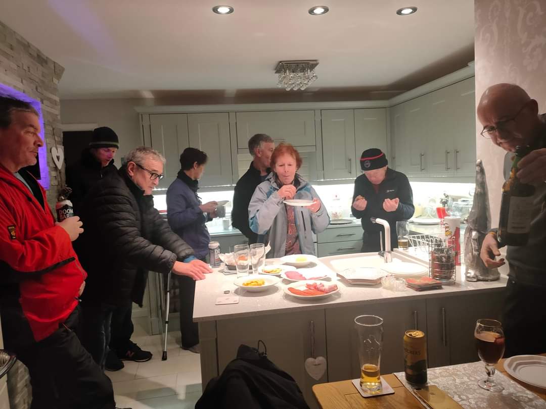
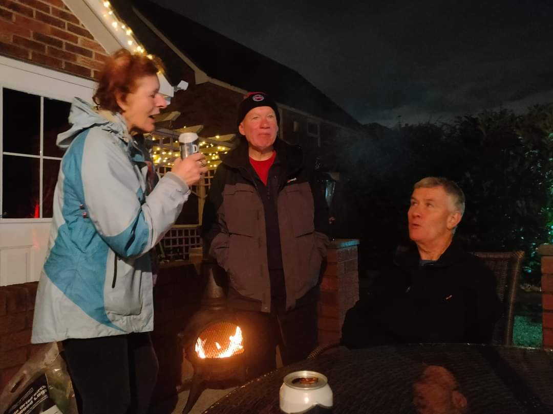
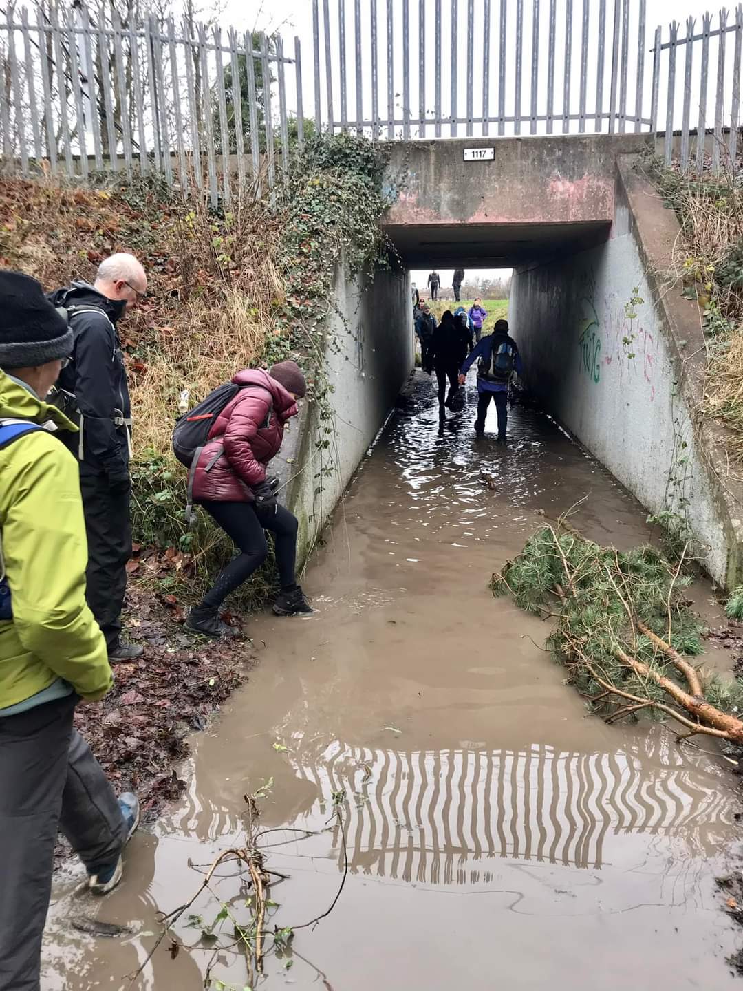
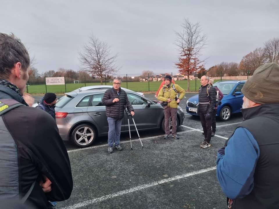
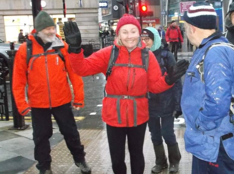
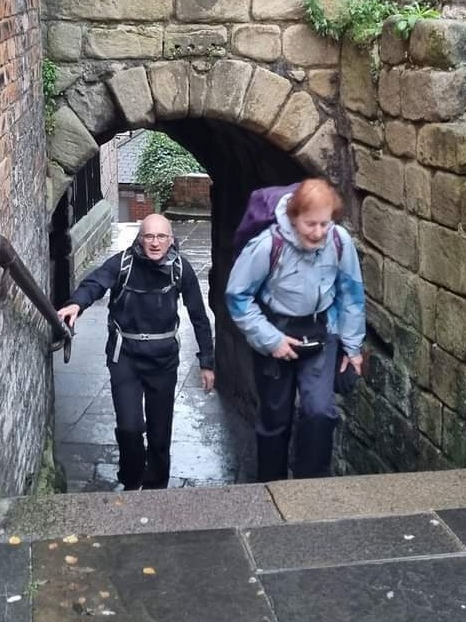
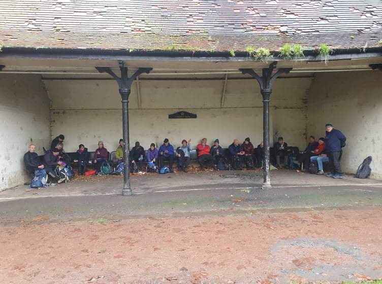
Walk devised by Ricky Scott, but due to Ricky being injured was led by Dave Clifton on the day. Although the LDWA often walk in countryside, moorland and mountainous areas, this walk showed that some excellent, informative and entertaining walks can be found in more urban and suburban areas, exemplified by the fact we found ourselves walking up Northumberland Street amongst the festive crowds on a Saturday afternoon. 20 miles in the end, 350m of ascent, taking us about 8.5 hours. 22 walkers. At the end of the walk Ricky Scott provided an excellent last "checkpoint" at his home for drinks and buffet.Other Files
GPX
A GPX file of the above route may be downloaded by clicking the link below.
Note: GPX files of Group Walks are created by LDWA Group members, and may be downloaded only by other LDWA members. They should not be made available outside the LDWA, and are used at members' own risk.
Login to Download (Members Only)You can use the interactive controls to zoom in and out and to move around the map, or click on a path or a marker for more info. (interactive map help)
You can use the interactive controls to zoom in and out and to move around the map, or click on a path or a marker for more info. (interactive map help)
© OpenStreetMap contributors under Open Database Licence
Rights of way data from selected Local Authorities
Large scale digital mapping is provided by John Thorn
At high zoom levels the route is indicative only.
Gallery
Maps:
You can use the interactive controls to zoom in and out and to move around the map, or click on a marker for more info. (interactive map help)
© OpenStreetMap contributors under Open Database Licence.
Rights of way data from selected Local Authorities.
Large scale digital mapping is provided by John Thorn.


