
Wine spy with my little pie, somewhere beginning with Alston
Sat 18th Dec 2021
Walk Details:
Alston, Garrigill, Ashgill force, Leadgate, Kirkhaugh and back to Alston. Dogs welcome on leads. Although this walk starts at the highest town in all England, this is mid December, so the route stays in the valleys, largely keeping away from exposed high ground. The walk will take about 8 hours. In the week prior to the walk please keep an eye on the Northumbria LDWA website and emails in case of any weather related changes to the plan
Entry Details:
Walk Report
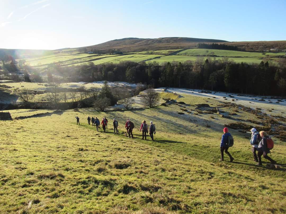
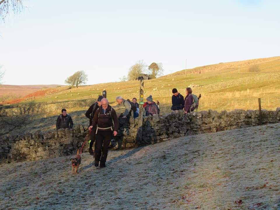
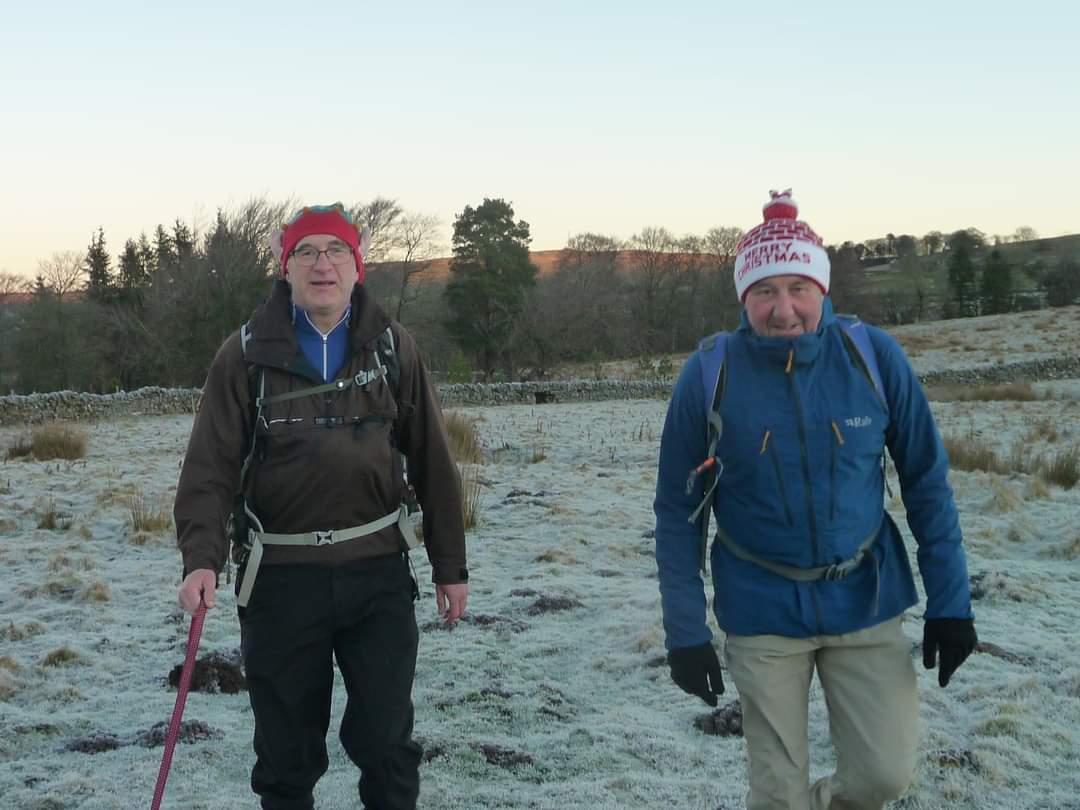
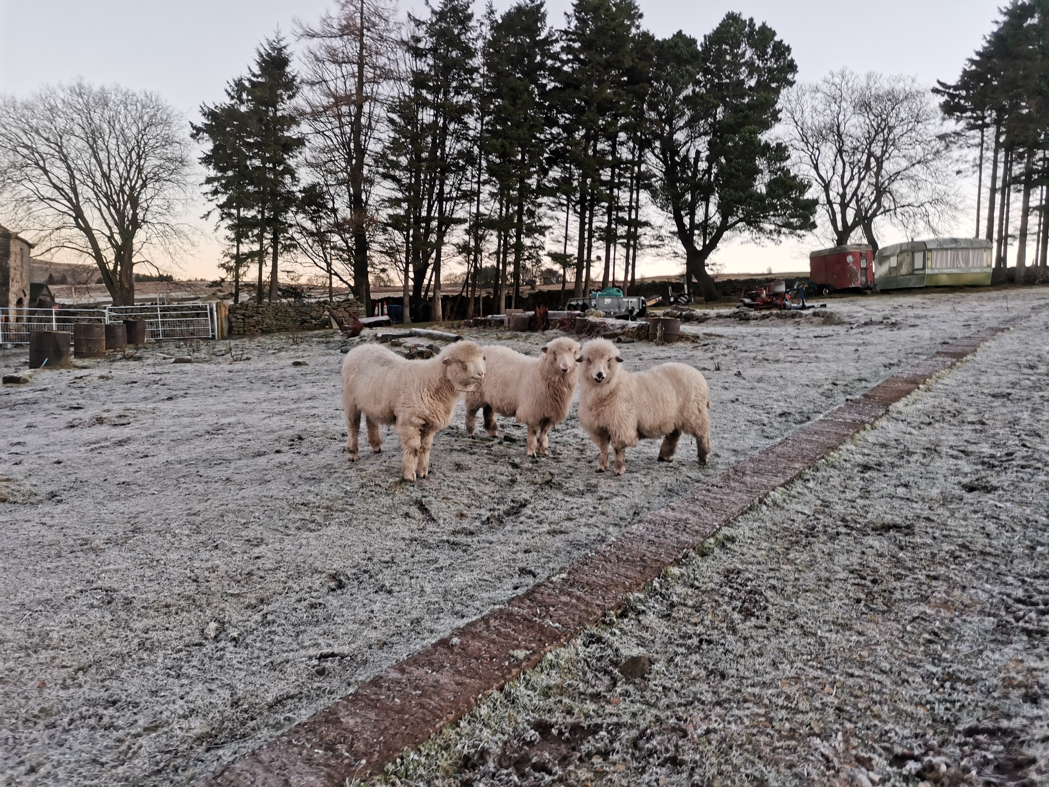
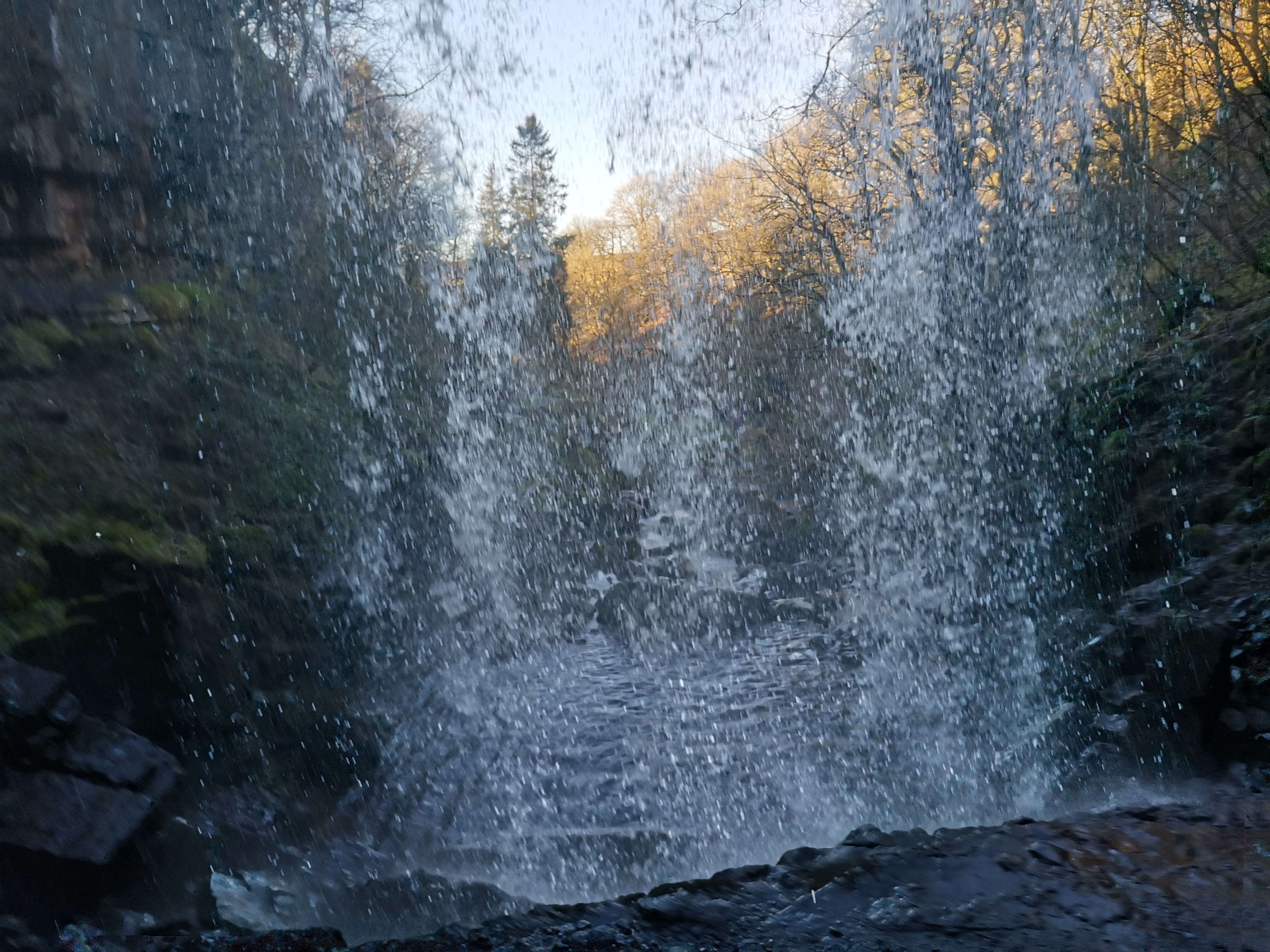
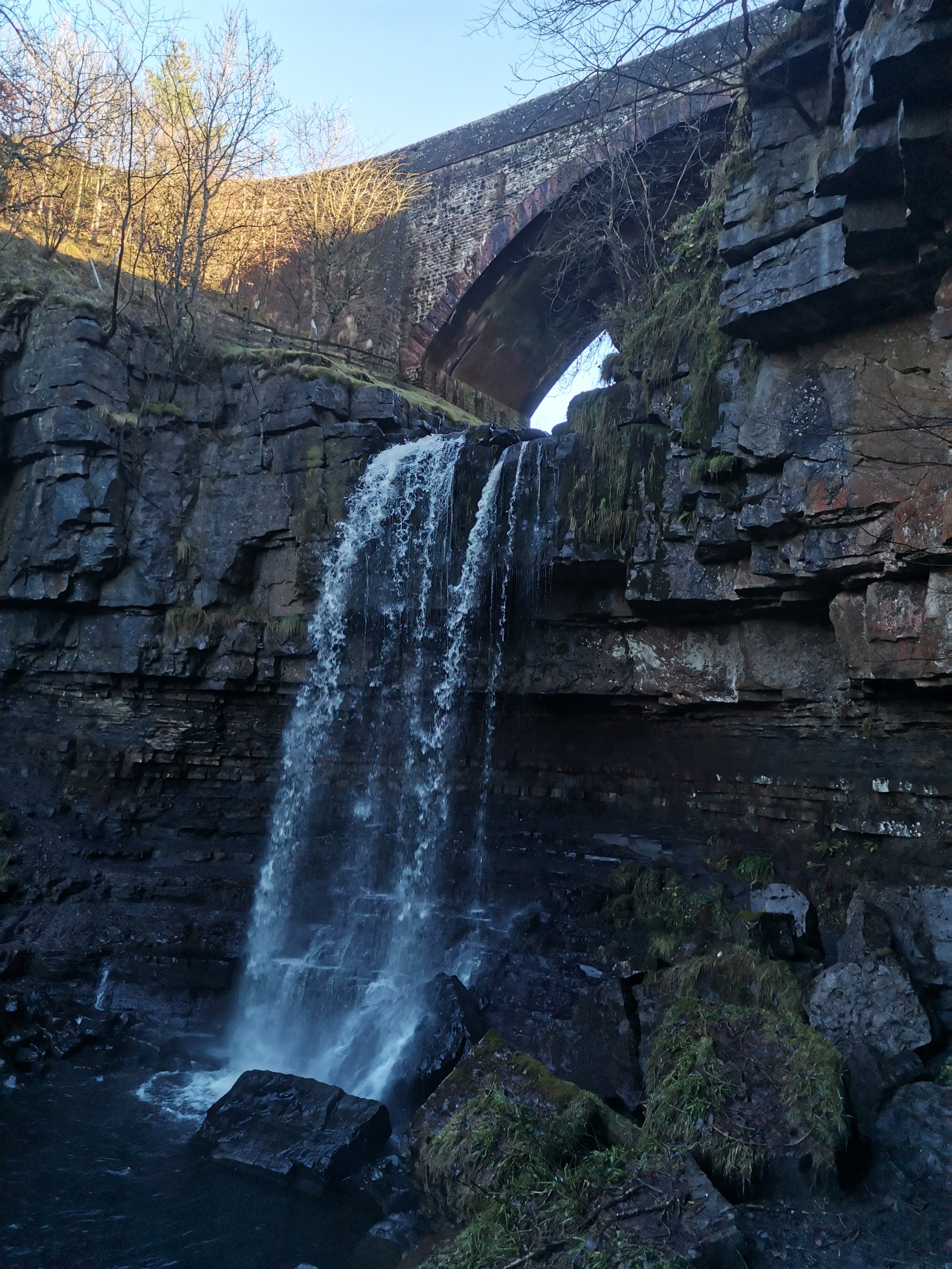
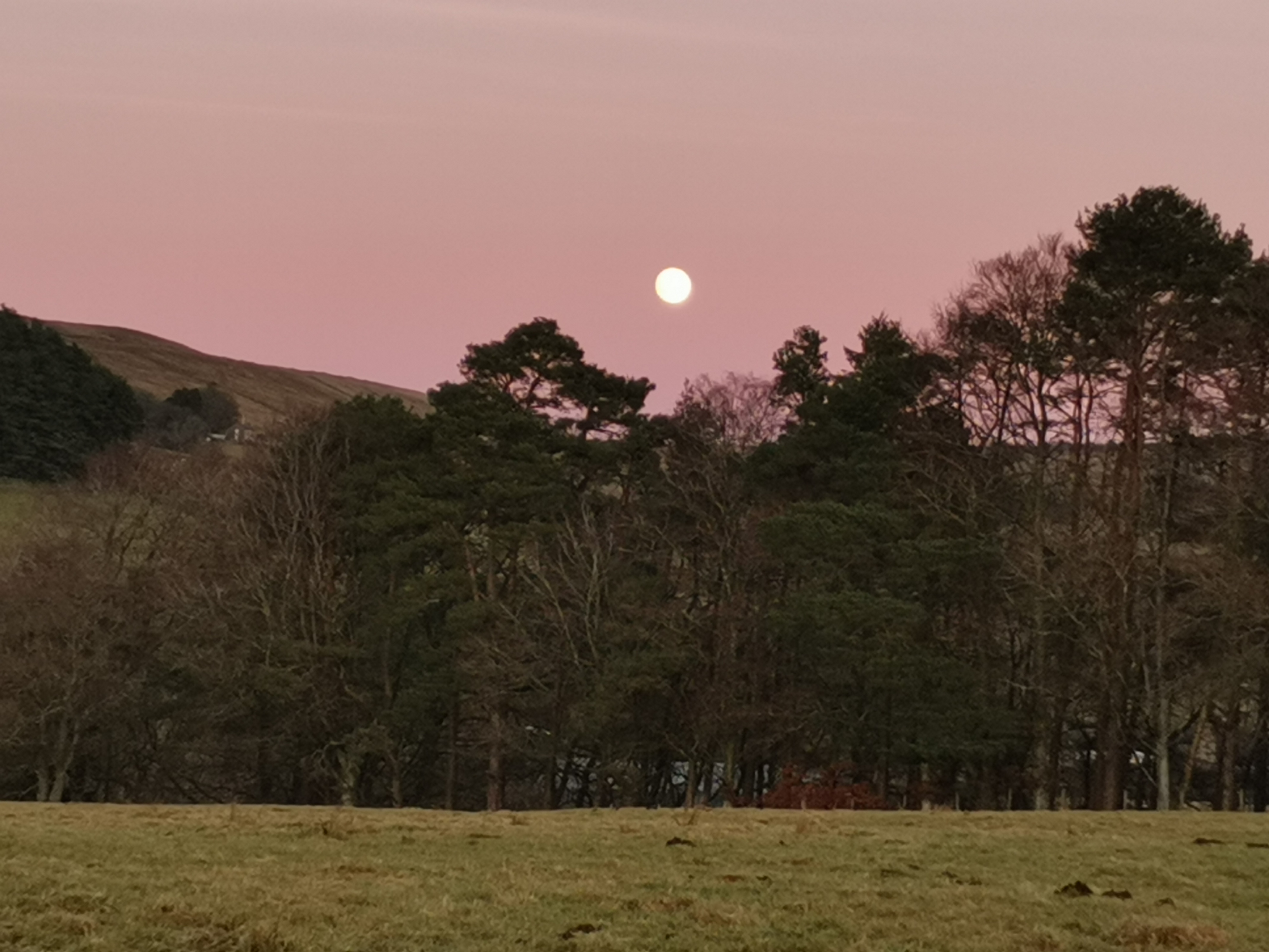
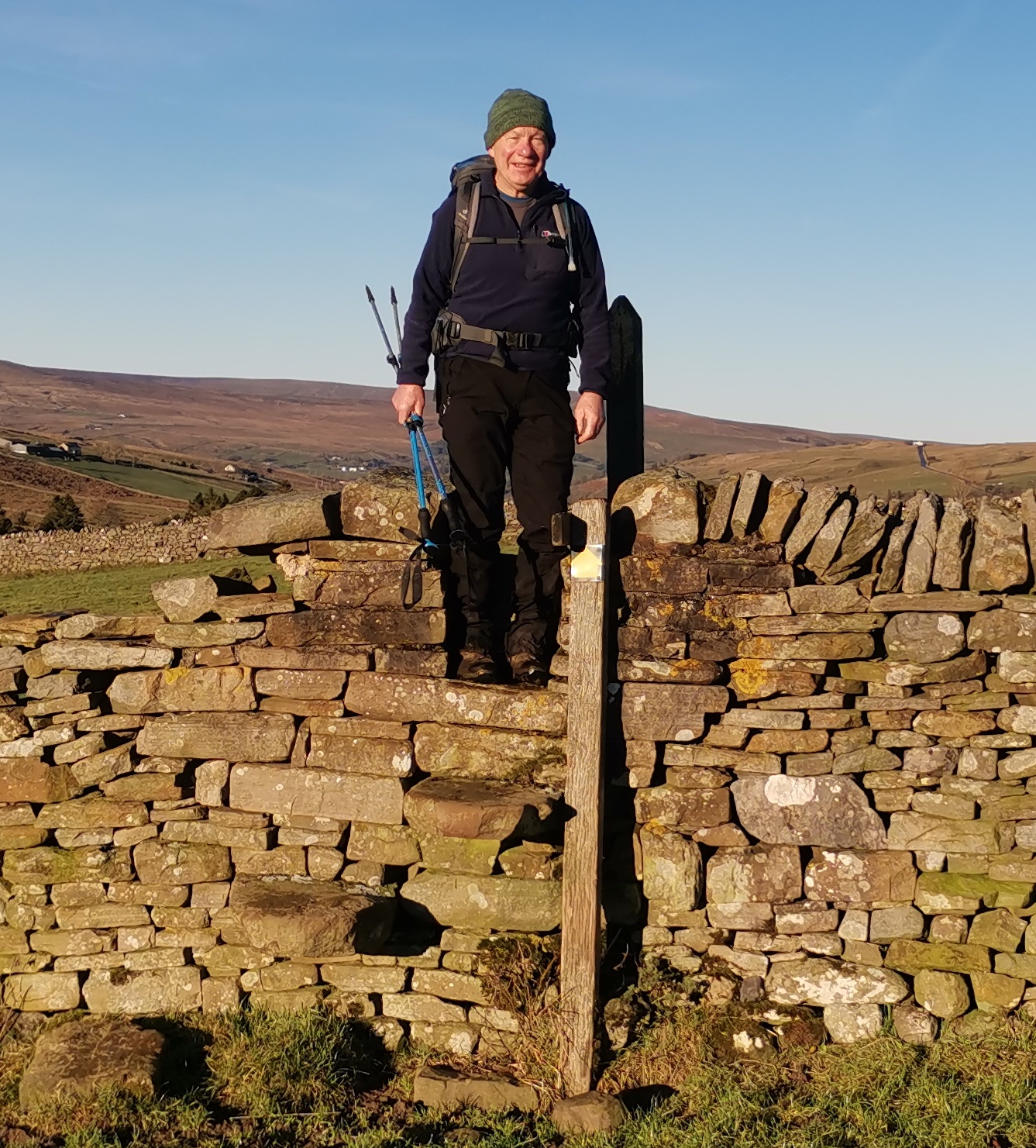
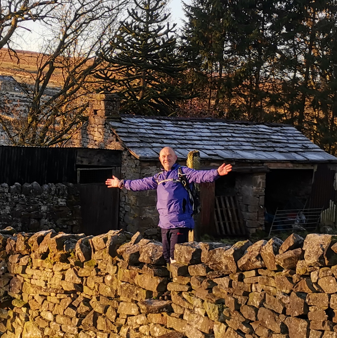
Rachael Musgrove's first lead. Took a chance on Alston in mid December and rewarded with absolutely gorgeous weather. Clear Blue Skies, sunshine, a perfect crisp winters day. Plenty of Apricity, which means the warmth of the winter sun. Hopefully the photo's in the gallery show this well. 21 walkers. Michelle and Brid keeping the pack together as backmarkers. 18.5 miles, 615 metres of ascent, took us 8 hrs and 15 minutes.Other Files
GPX
A GPX file of the above route may be downloaded by clicking the link below.
Note: GPX files of Group Walks are created by LDWA Group members, and may be downloaded only by other LDWA members. They should not be made available outside the LDWA, and are used at members' own risk.
Login to Download (Members Only)You can use the interactive controls to zoom in and out and to move around the map, or click on a path or a marker for more info. (interactive map help)
You can use the interactive controls to zoom in and out and to move around the map, or click on a path or a marker for more info. (interactive map help)
© OpenStreetMap contributors under Open Database Licence
Rights of way data from selected Local Authorities
Large scale digital mapping is provided by John Thorn
At high zoom levels the route is indicative only.
Gallery

Maps:
You can use the interactive controls to zoom in and out and to move around the map, or click on a marker for more info. (interactive map help)
© OpenStreetMap contributors under Open Database Licence.
Rights of way data from selected Local Authorities.
Large scale digital mapping is provided by John Thorn.


