
Pilgrimage of Light, Finale, Holy Island to Belford
Sat 15th Oct 2022
Walk Details:
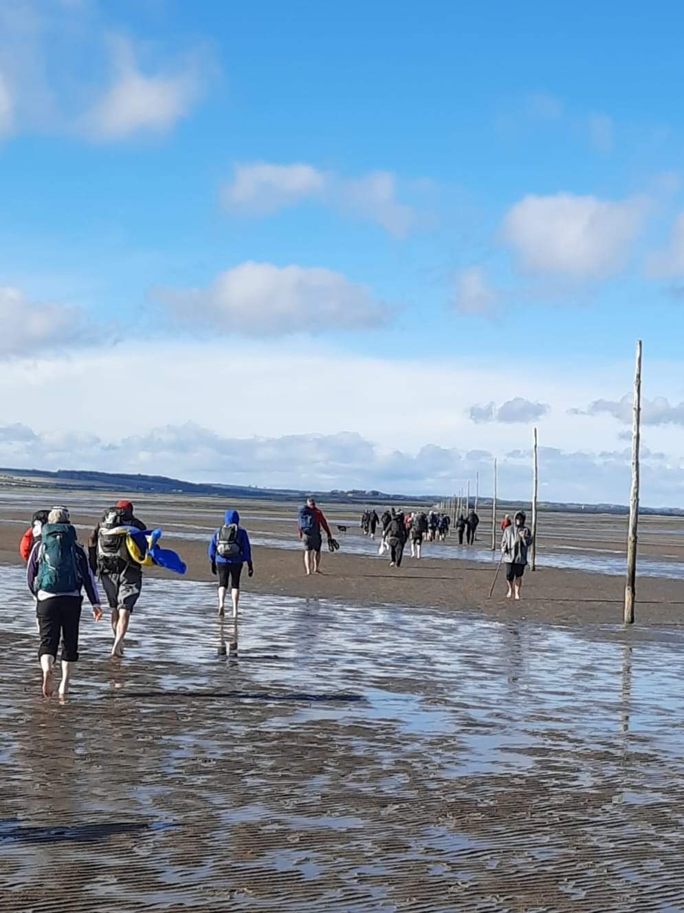
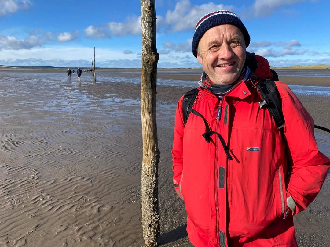
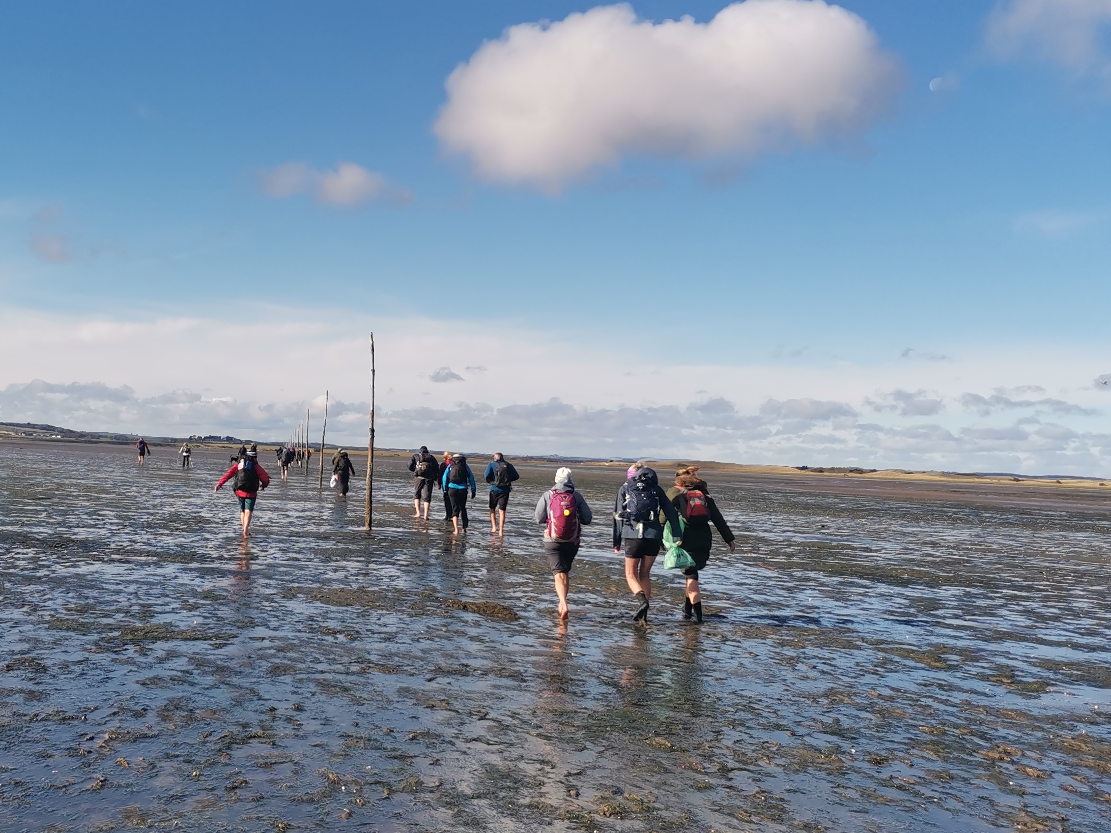
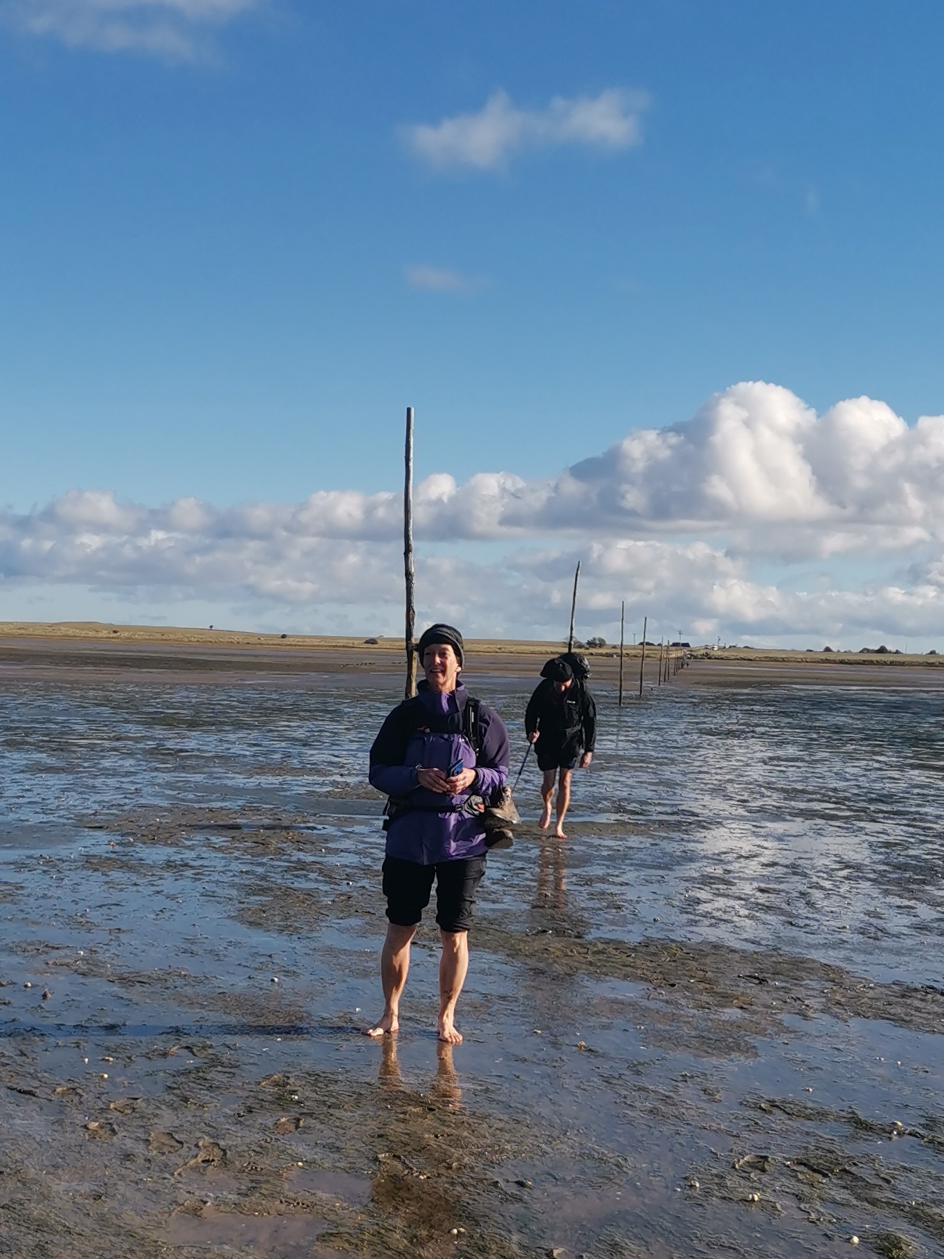
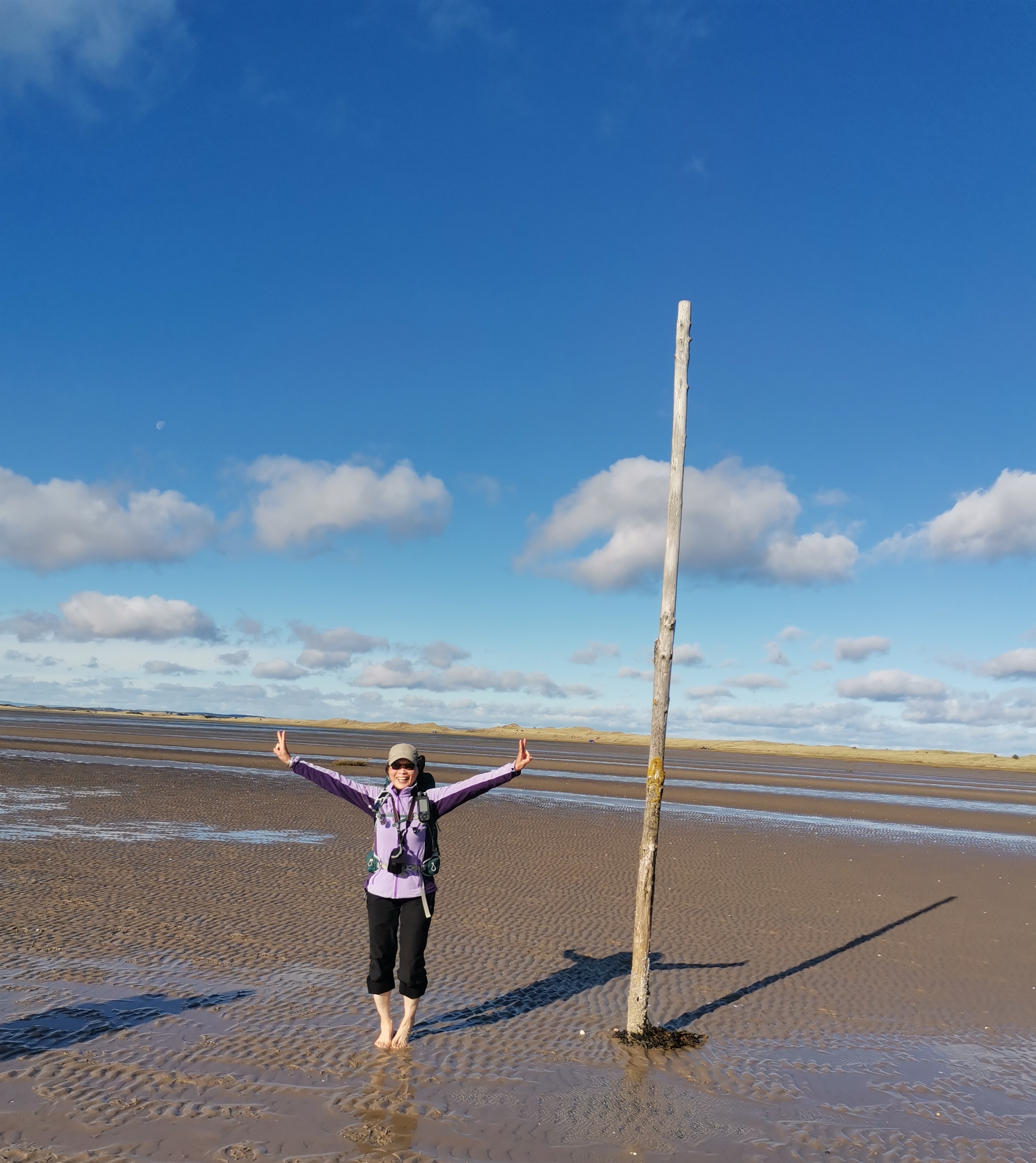
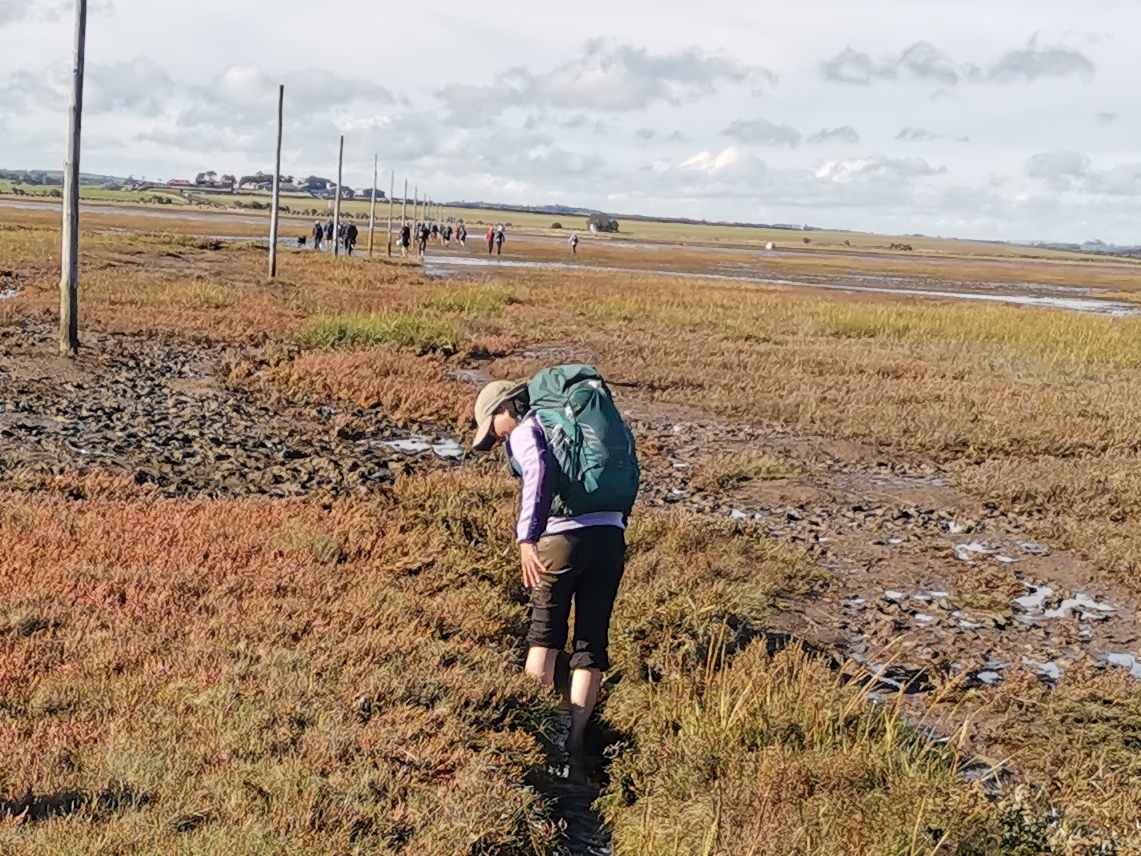
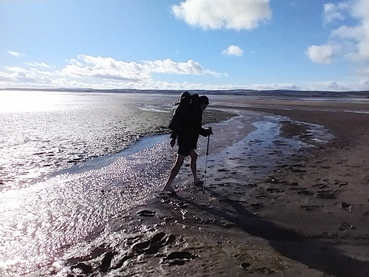
Linear walk from the Holy Island of Lindisfarne to Belford. This is the 8th and final stage of our 50th Anniversary of the LDWA celebrations. Due to the logistics of getting on and off a tidal Island, we will be changing our direction for this stage and walking south. We will begin with a 4 mile tour of Lindisfarne visiting both the Priory and the Castle. We will then walk across the sands of the Pilgrims Way, 2.5 miles following the poles for direction. The crossing is usually done barefoot, so our feet and lower legs will get wet and muddy. From the Northumberland mainland we will continue St Oswald's Way via Fenwick and Kyloe Woods to our cars in Belford with a additional short detour to St Cuthbert's Cave
Entry Details:
Walk Report
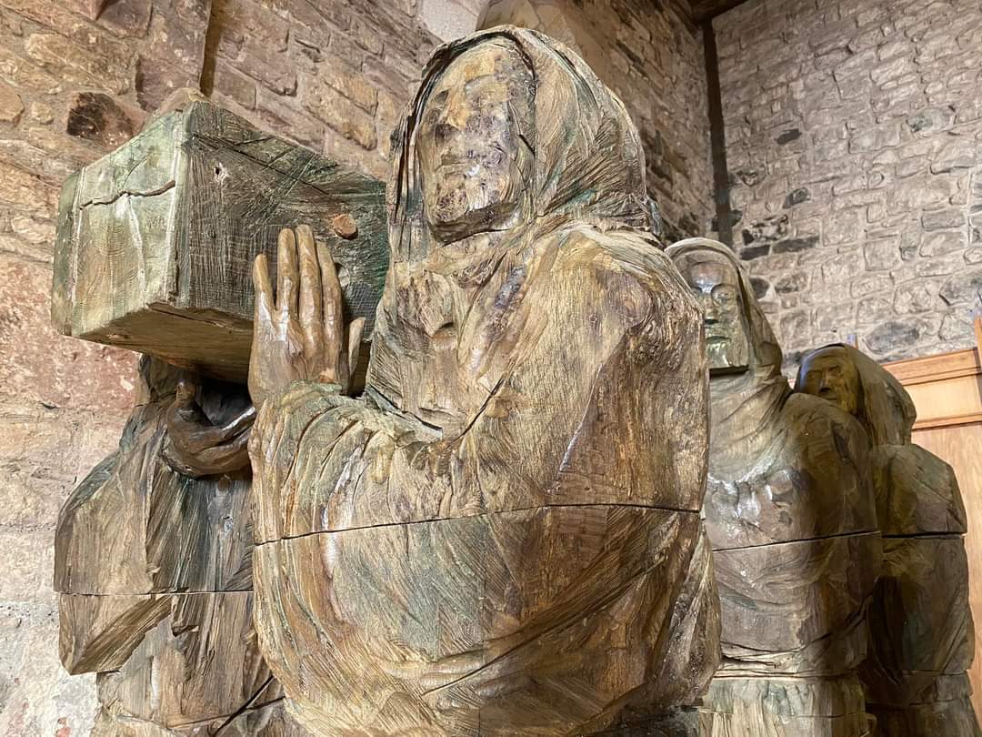
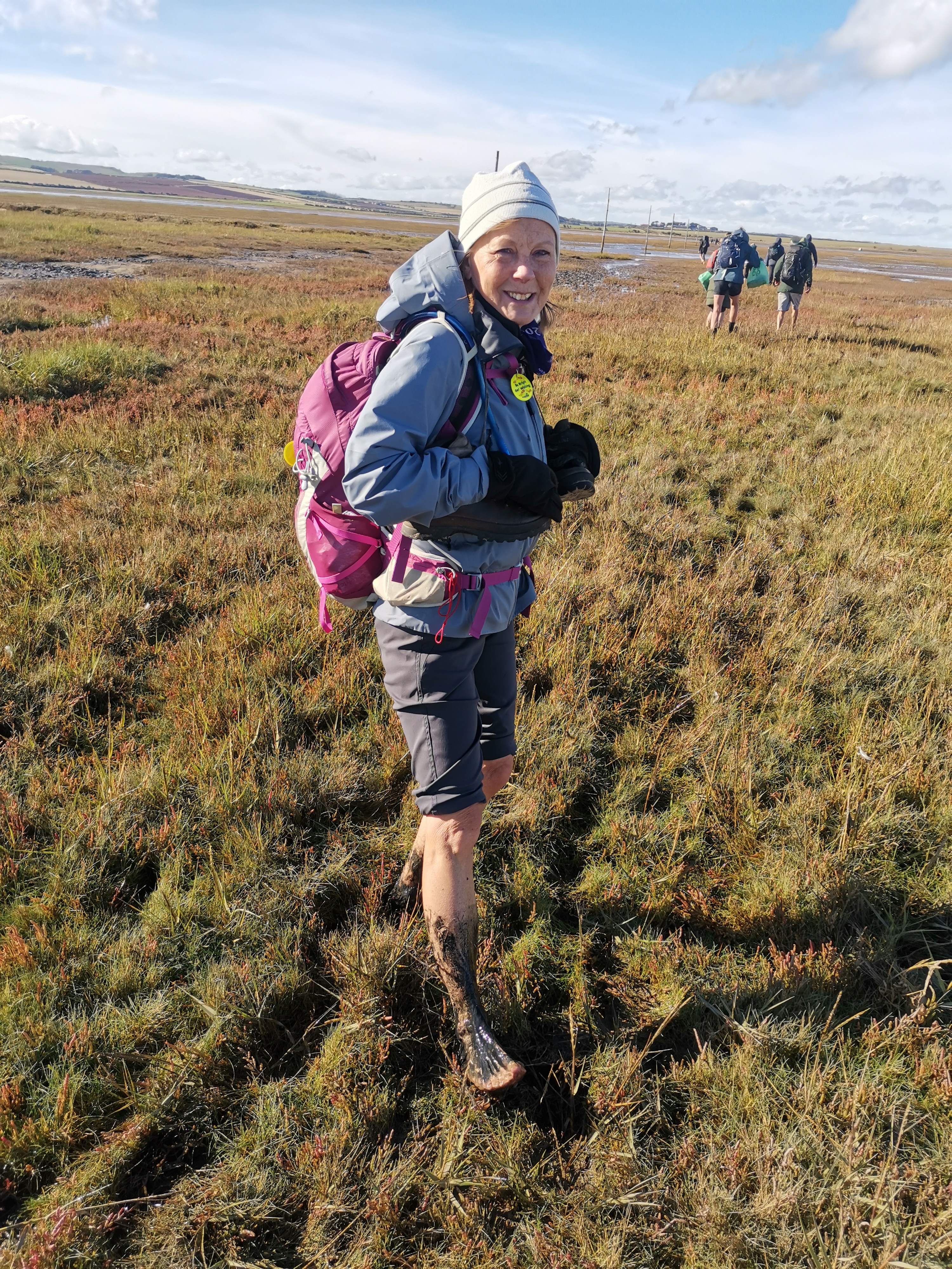
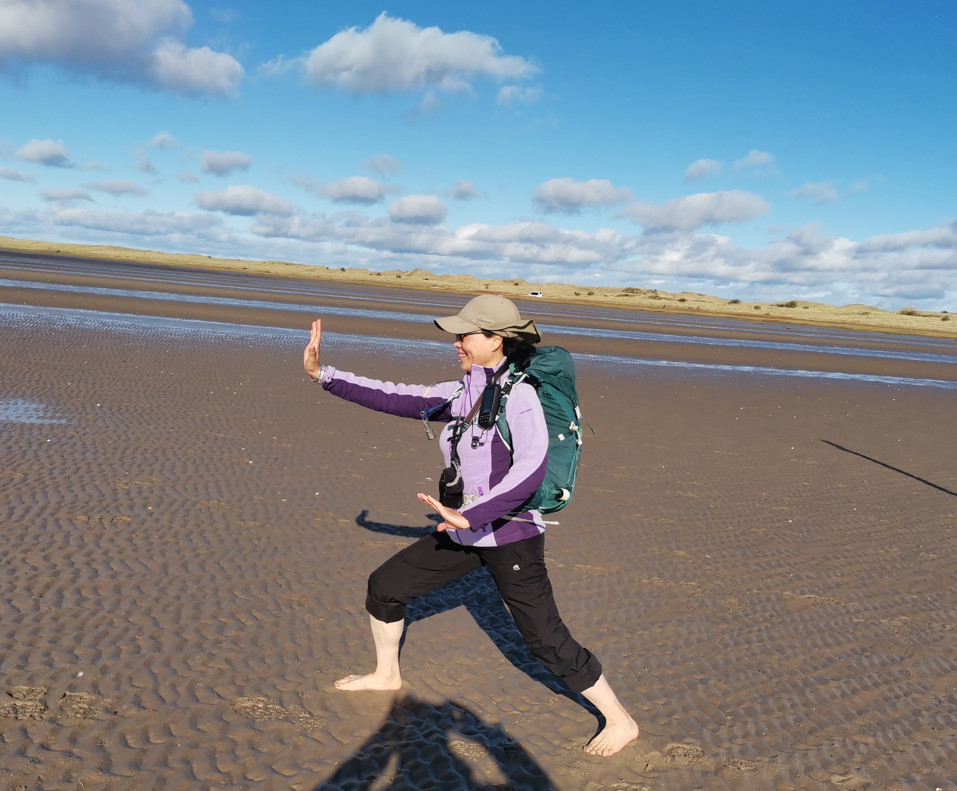
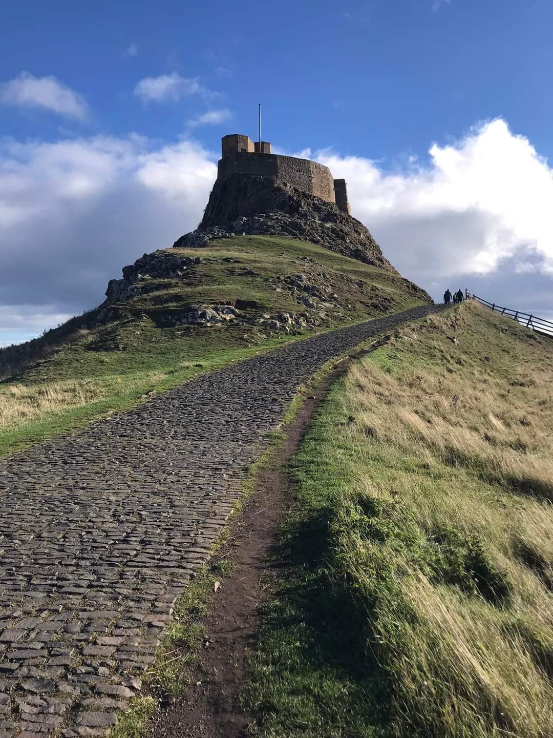
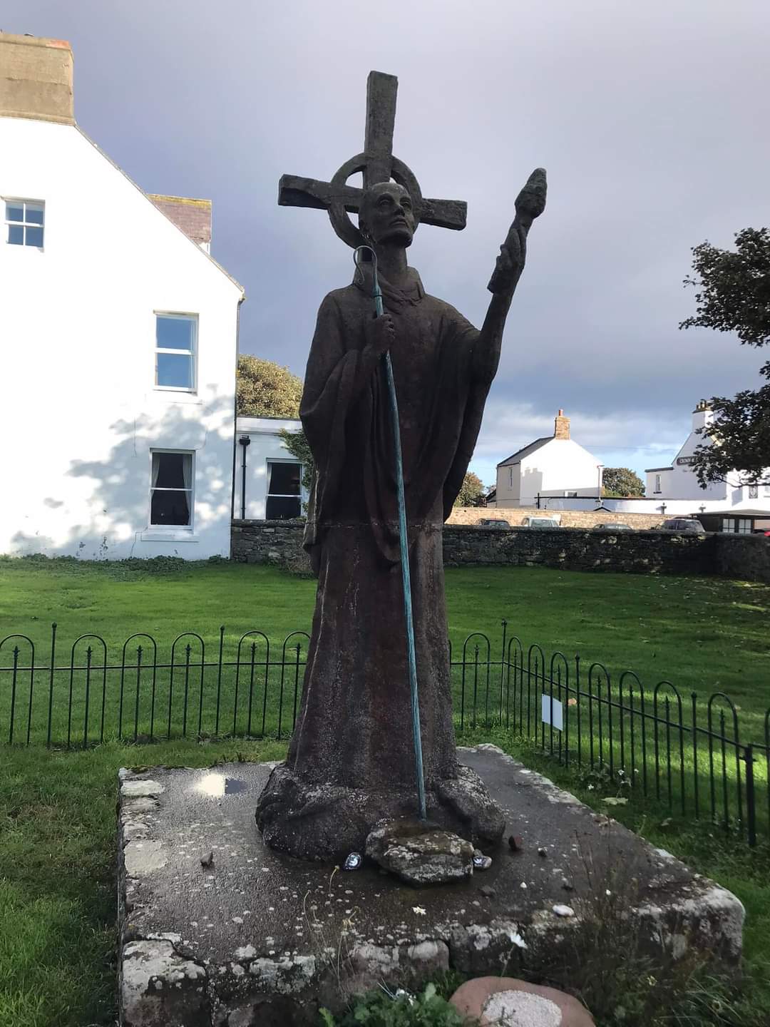
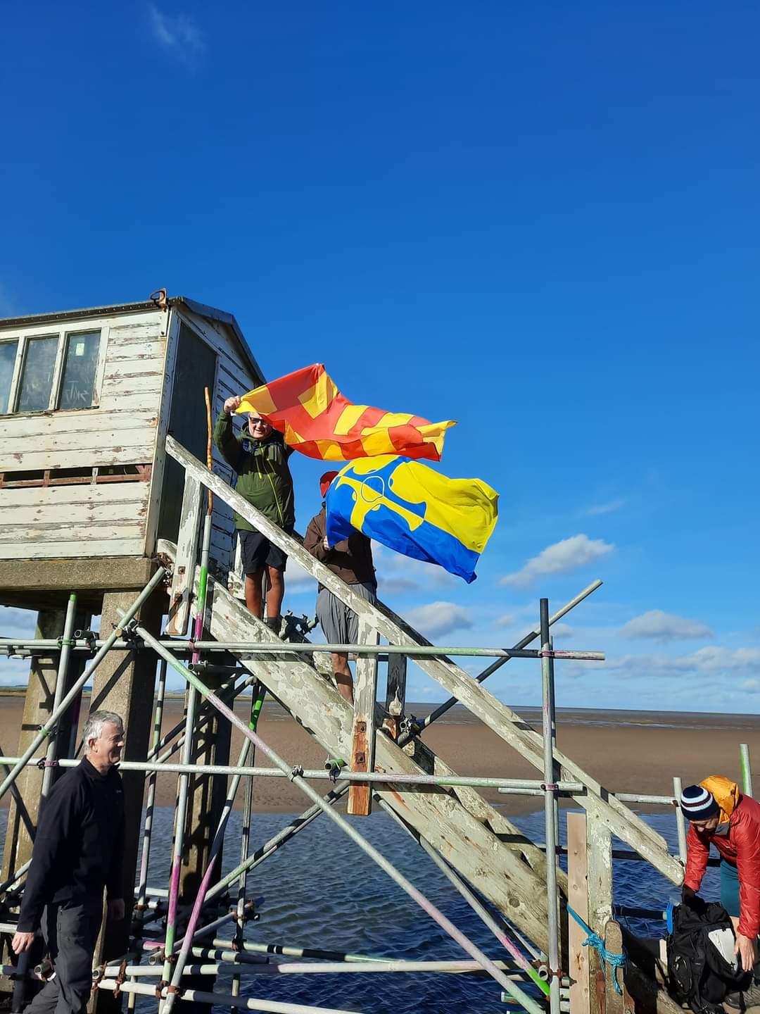
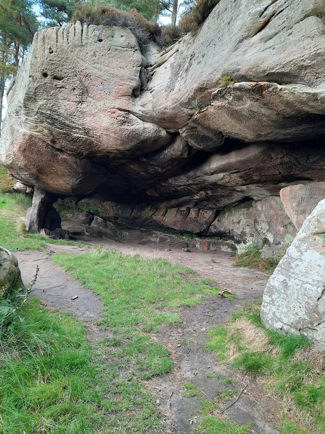
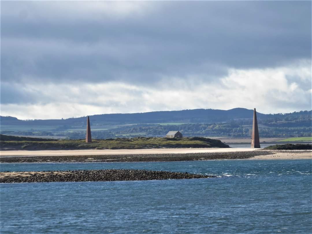
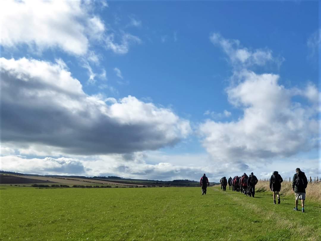
This last weekend, 15th October the Northumbria Group of the LDWA enjoyed the finale of the series of Pilgrimage walks following the saints' trails from Durham to Lindisfarne to mark the 50th anniversary of the LDWA. This final section was from Belford to Lindisfarne though, in fact it was reversed to allow for the tide times. I made a weekend of it staying over at Seahouses for two nights, browsing round Alnwick on the way up on the Friday, before meeting up with the group on Saturday morning. It was a later than usual start given the shorter mileage of the walk, so that I could enjoy breakfast overlooking the sea and had the joy of seeing dolphins in the bay. Saturday began rather wet but by the time we had reached Lindisfarne at 10a.m. it had cleared and we enjoyed fair if breezy weather throughout the day. We spent a couple of hours on Holy Island, visiting the Priory and church where some heard a couple of the Gregorian chants that were being performed that day. From the sound clip Jim posted on W/App the chants were indeed beautiful. They are performing at Bamburgh Castle 26 November and at Durham Cathedral in January. I may have to pop up to Bamburgh again! By that time I'd wandered off to Lindisfarne Castle and further round the island admiring the wonderful views along the coast and to Bamburgh. The two distinctive obelisks are old Law Beacons on Guile Point - a navigational aid. When lined up they direct vessels into Holy Island harbour. They were designed by the Newcastle Architect, John Dobson and built in 1826 by Trinity House. I was amazed to discover that they are actually made of wood with stone cladding. We gathered for lunch before setting off c. 12 noon to follow the Pilgrims Causeway back to the main land - a wonderful experience. Many followed tradition walking barefoot. I plodged in boots and gaiters knowing full well that, to do otherwise, my fitted leggings would be soaked half way up my calf, making uncomfortable walking for the rest of the day! The heavy dubbing on boots kept out much of the water but I did change my damp socks at the far side. We followed the undulating landscape towards Belford, taking a small detour to visit St Cuthbert's Cave - a huge sandstone overhang - reputed to be the place where the monks rested while carrying St Cuthbert's coffin during their escape from Viking raids in 875A.D. Amidst the graffiti etched into the stone is some going back to the mid 19th century! We arrived at Belford c. 5.45 meeting up at the Black Swan for our usual fluid refreshment and banter. Many many thanks to Paul Nellist and all involved in planning and organising this series of linear walks and the coaches to move us about. It has been brilliant. In fact I found the official book on the route of St Cuthbert's Way and bought it as a memento and perhaps to follow some of the routes again in my own time. I headed back to Seahouses and The Olde Ship Inn to enjoy again the smoked fish chowder I'd had the previous evening - absolutely delicious and thoroughly recommended. On Sunday morning I returned to Holy Island to visit Lindisfarne Castle (NT) with a history dating back to mid 16th century. It was built as a fort on what was known as Beblowe Crag under order of Henry VIII, housing a garrison to defend the coastline from attack by the Scots. And so it remained for the next 300 years, armed until 1819. When Edward Hudson bought it in 1901 it was in a state of dereliction and he commissioned Sir Edwin Lutyens to re-design it into a fashionable country residence in the Arts and Crafts style. It had been some years since I'd last visited it and so enjoyed all the details of a country gents life in the Edwardian period of early 20th century. It had been closed 1916-1918 for refurbishment and I was intrigued to see what had been done. Sadly I was disappointed and commented so. It has been stripped back completely. I understand and appreciate that the furniture retained is that specific to the 1900 -1920's period but we are left with just bare hints of the life and parties that had been enjoyed in the form of quotes from letters or journals of key individuals transcribed on windows, stone walls, the dining cloth, on plates and boxes, with the rest relying on our imagination. It is all very well done but none of the detail and no guide book (sold out!) though looking back at the photos I can perhaps appreciate it more. From the Castle to browse the shops and purchase some delightful Lindisfarne Mead. Then on to Bamburgh Castle and 3000 years of history culminating in its purchase in 1894 by the great William George Armstrong who also owned Cragside - all fascinating and to be absorbed in 2 hours!!! I was almost thrown out at 5pm!! A thoroughly interesting and enjoyable weekend. ( Beryl Massey)Other Files
GPX
A GPX file of the above route may be downloaded by clicking the link below.
Note: GPX files of Group Walks are created by LDWA Group members, and may be downloaded only by other LDWA members. They should not be made available outside the LDWA, and are used at members' own risk.
Login to Download (Members Only)You can use the interactive controls to zoom in and out and to move around the map, or click on a path or a marker for more info. (interactive map help)
You can use the interactive controls to zoom in and out and to move around the map, or click on a path or a marker for more info. (interactive map help)
© OpenStreetMap contributors under Open Database Licence
Rights of way data from selected Local Authorities
Large scale digital mapping is provided by John Thorn
At high zoom levels the route is indicative only.
Gallery
Maps:
You can use the interactive controls to zoom in and out and to move around the map, or click on a marker for more info. (interactive map help)
© OpenStreetMap contributors under Open Database Licence.
Rights of way data from selected Local Authorities.
Large scale digital mapping is provided by John Thorn.


