
Pilgrimage of Light, stage 5, Rothbury to Warkworth
Sat 9th Jul 2022
Walk Details:
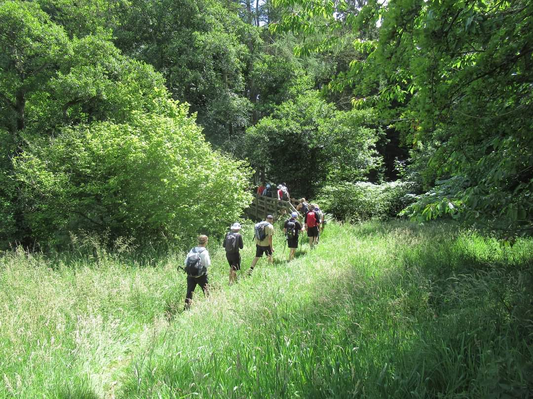
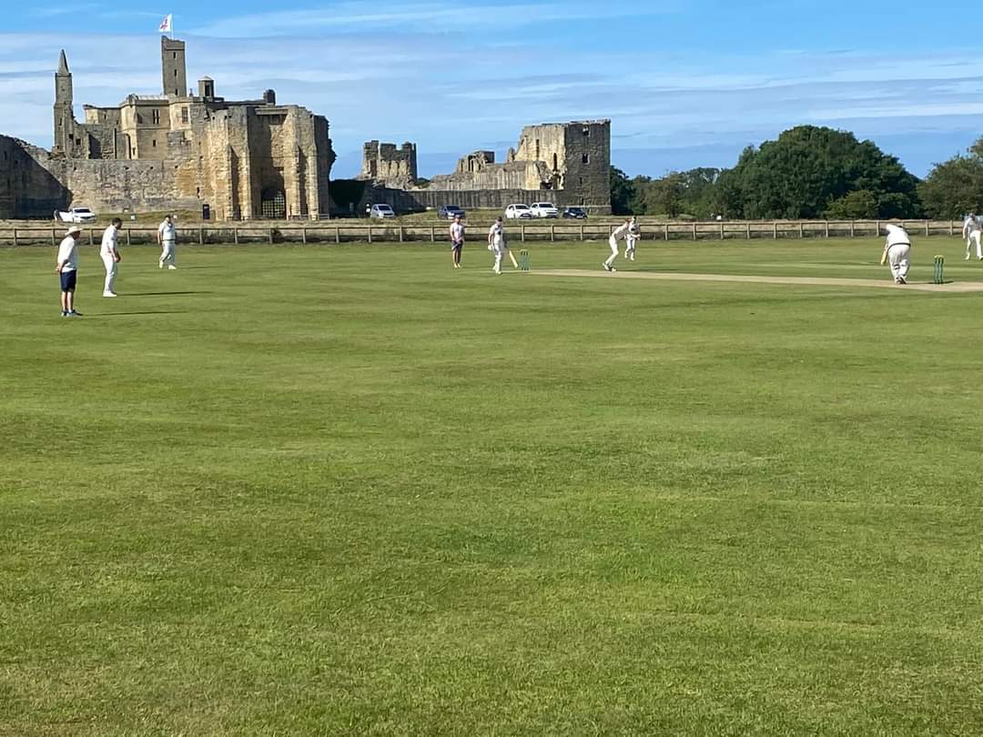
Linear walk from Rothbury to Warkworth. Starting in Rothbury Village centre. This is the 5th stage of our 50th Anniversary of the LDWA celebrations. The route takes us east, following St Oswald's Way and the river Coquet, by Weldon Bridge and Felton back to our cars in Warkworth
Entry Details:
Walk Report
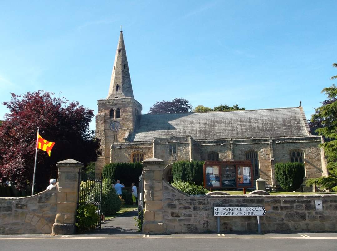
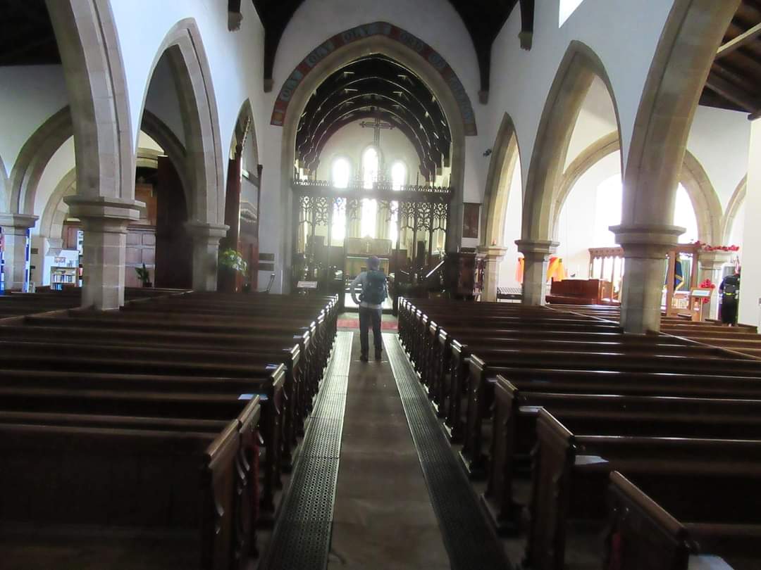
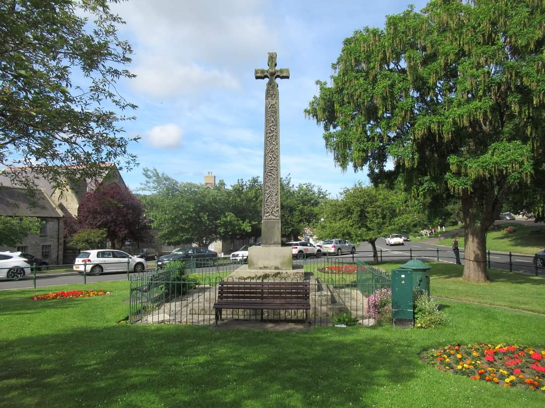
Rothbury. In it's parish church the shaft of the font is the lower part of an Anglo-Saxon cross of c.800, one of the most important in England, giving Rothbury a distinct historical edge over most Northumbrian Towns. ( Paul Nellist)Other Files
GPX
A GPX file of the above route may be downloaded by clicking the link below.
Note: GPX files of Group Walks are created by LDWA Group members, and may be downloaded only by other LDWA members. They should not be made available outside the LDWA, and are used at members' own risk.
Login to Download (Members Only)You can use the interactive controls to zoom in and out and to move around the map, or click on a path or a marker for more info. (interactive map help)
You can use the interactive controls to zoom in and out and to move around the map, or click on a path or a marker for more info. (interactive map help)
© OpenStreetMap contributors under Open Database Licence
Rights of way data from selected Local Authorities
Large scale digital mapping is provided by John Thorn
At high zoom levels the route is indicative only.
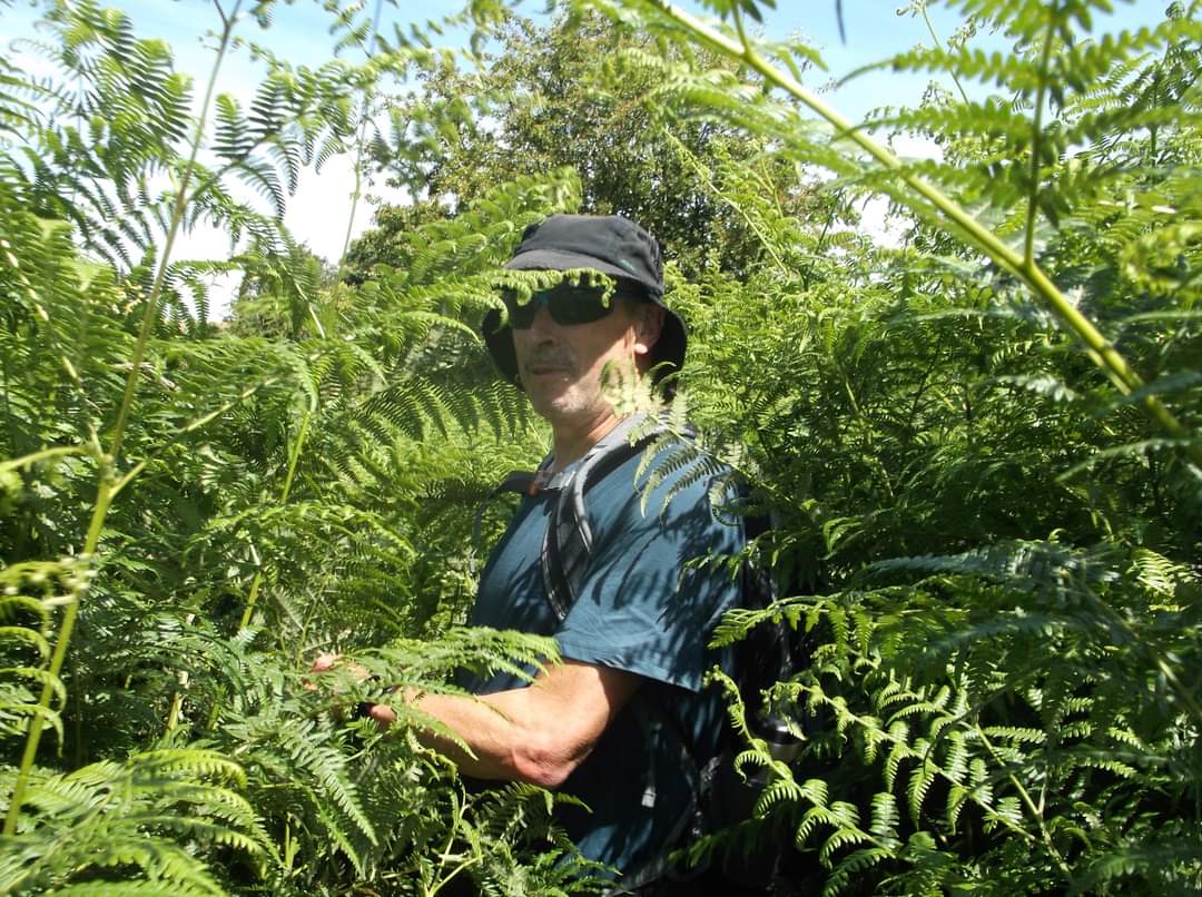
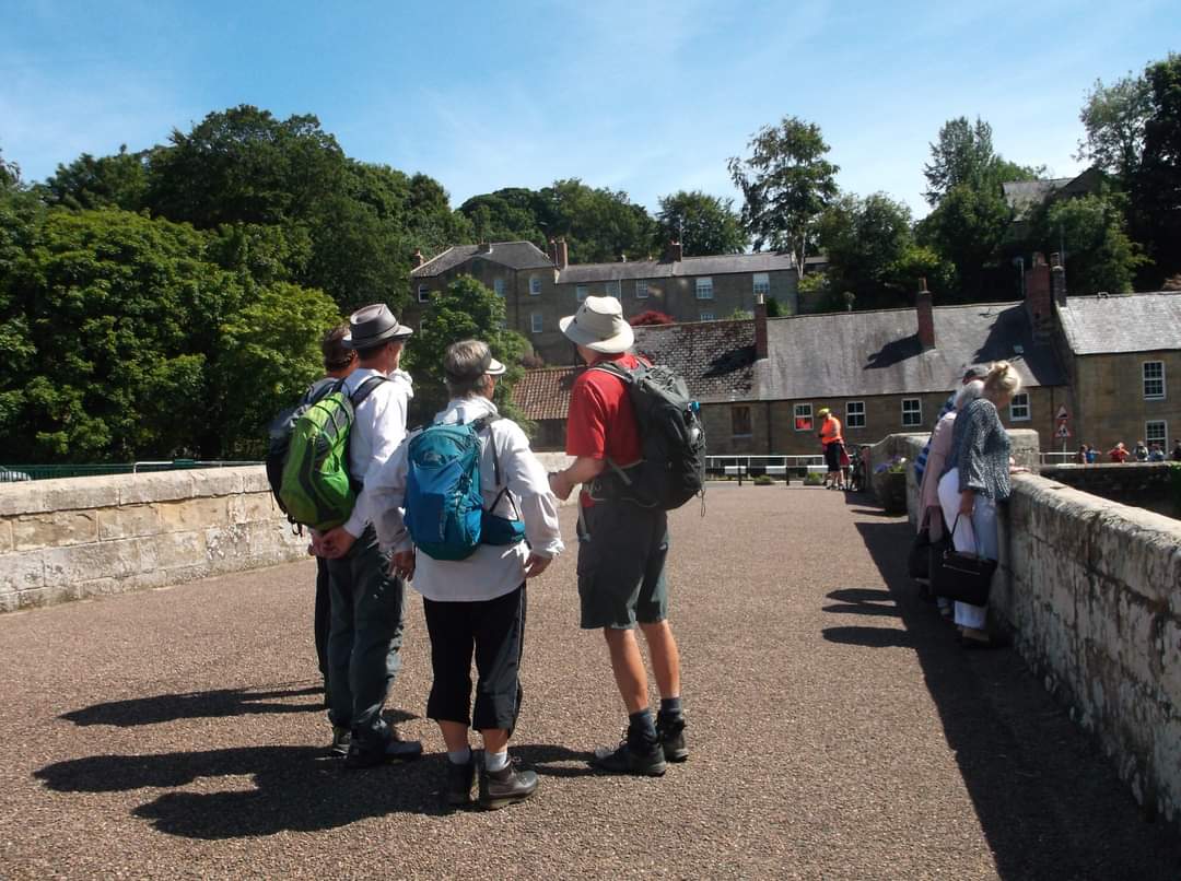
Gallery

Maps:
You can use the interactive controls to zoom in and out and to move around the map, or click on a marker for more info. (interactive map help)
© OpenStreetMap contributors under Open Database Licence.
Rights of way data from selected Local Authorities.
Large scale digital mapping is provided by John Thorn.


