
Pilgrimage of Light, stage 4, Kirkwhelpington - Rothbury
Sat 25th Jun 2022
Walk Details:
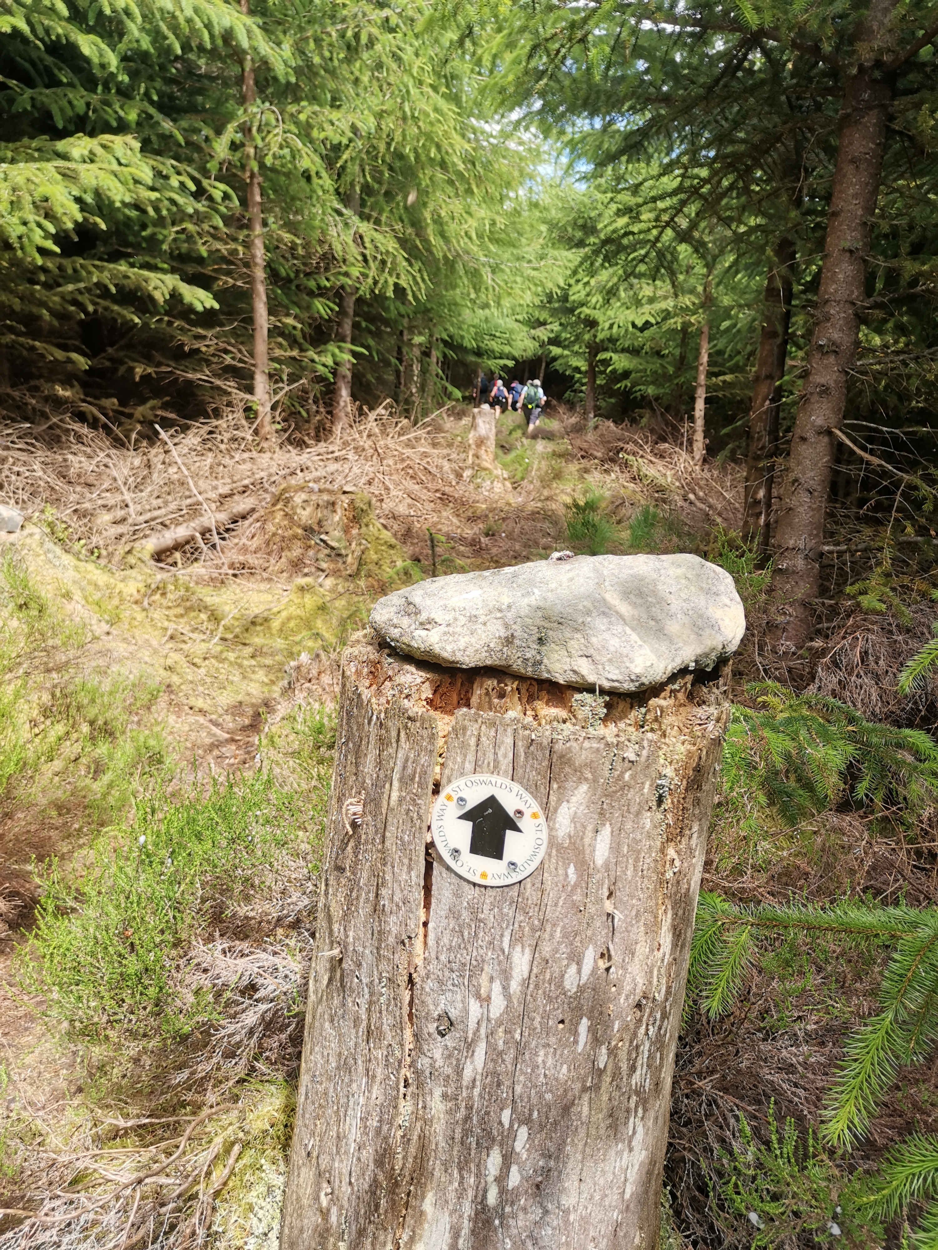
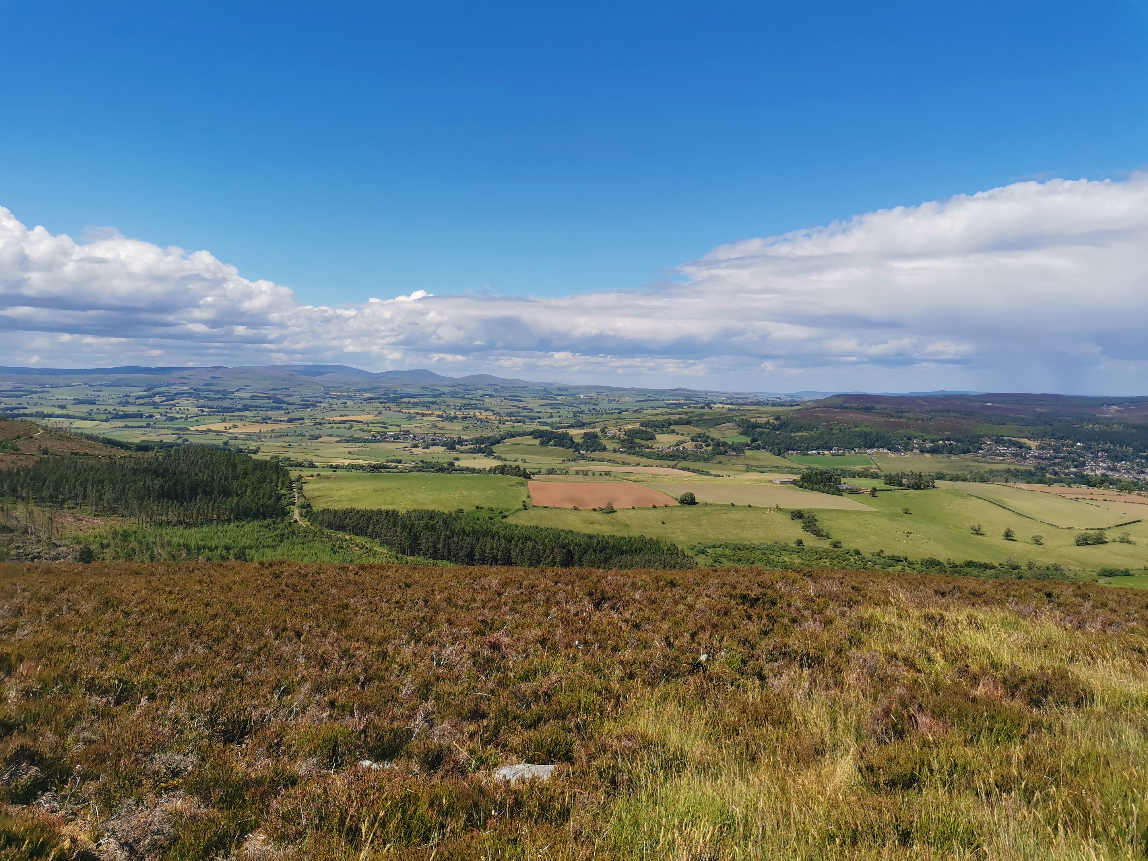
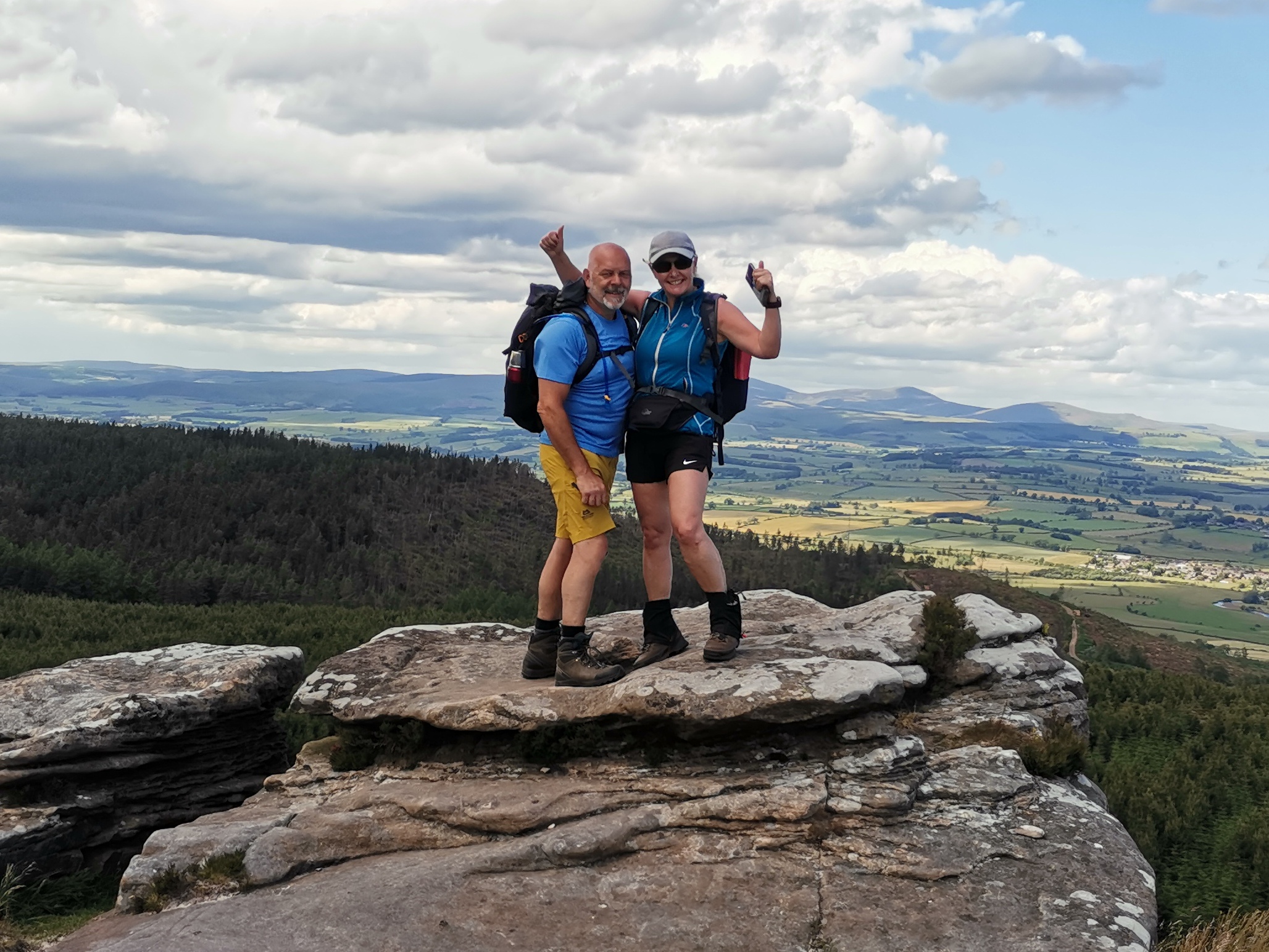
The standard 15 mile route on St Oswald's way takes us from the lovely village of Kirkwhelpington, Knowesgate, Camp Hill, Catcherside, Harwood Forest, Coquet Cairn, Lordenshaws to Rothbury. However, for those of us that will not put on our rucksacks for less than 20 miles, there will an optional loop into the Simonside Hills to make up the mileage to 20 miles. So, there's a choice, 15 or 20 miles
Entry Details:
Walk Report
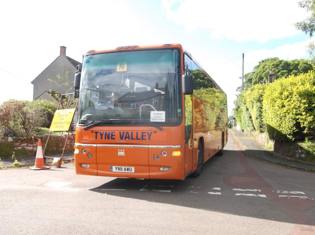
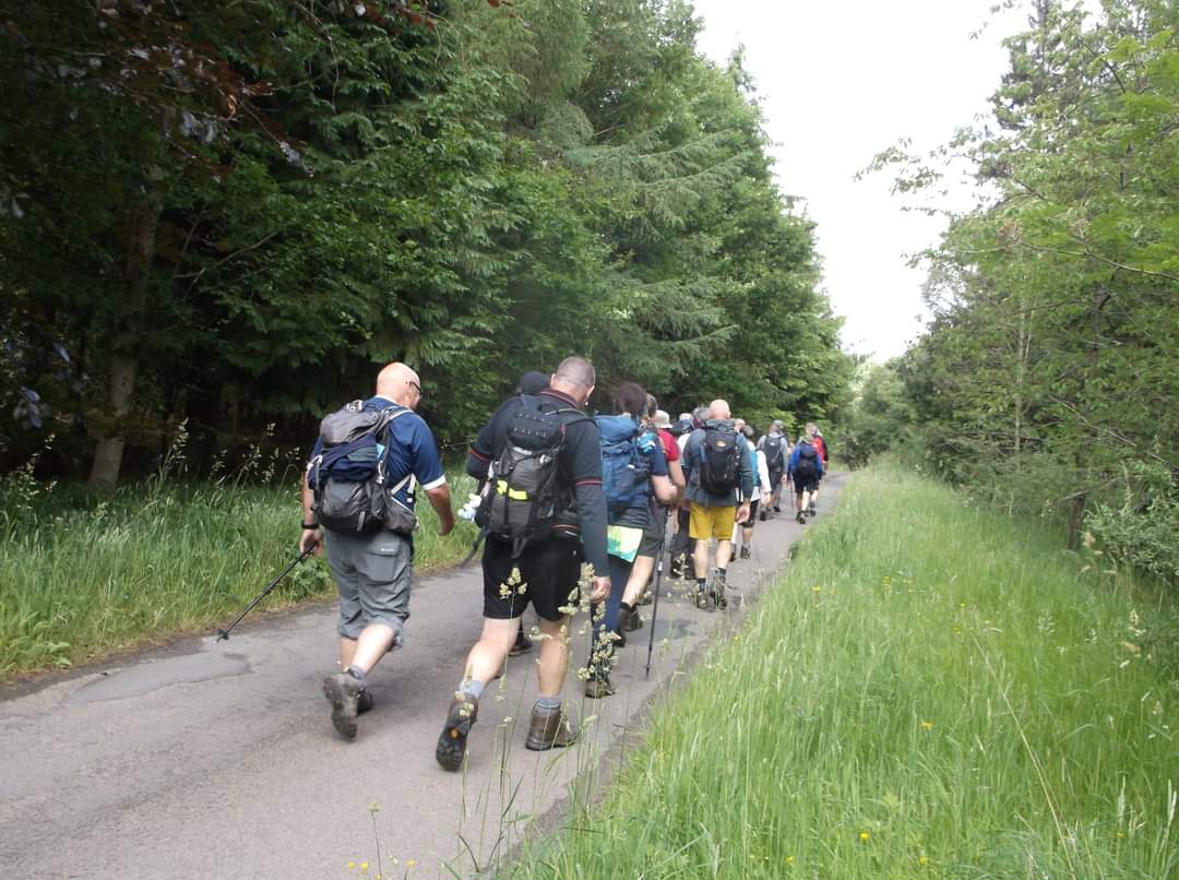
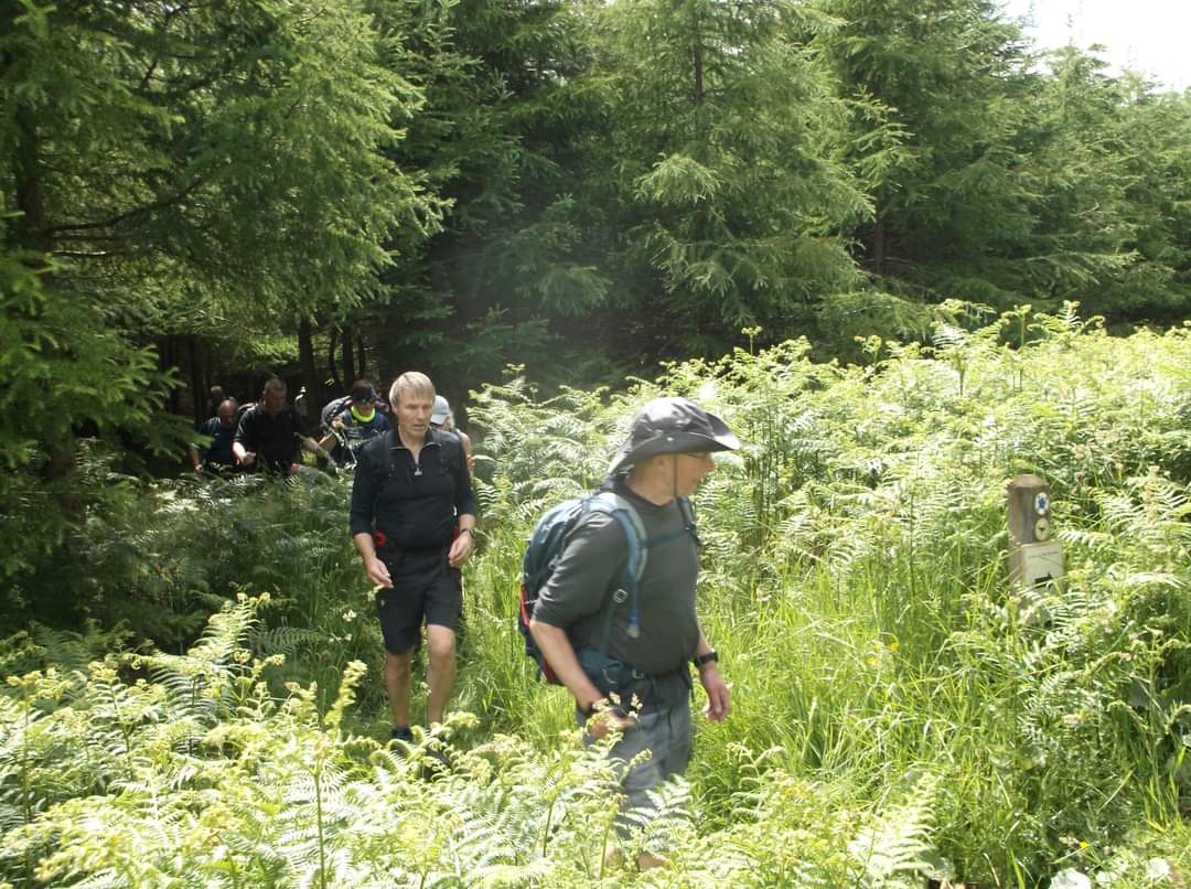
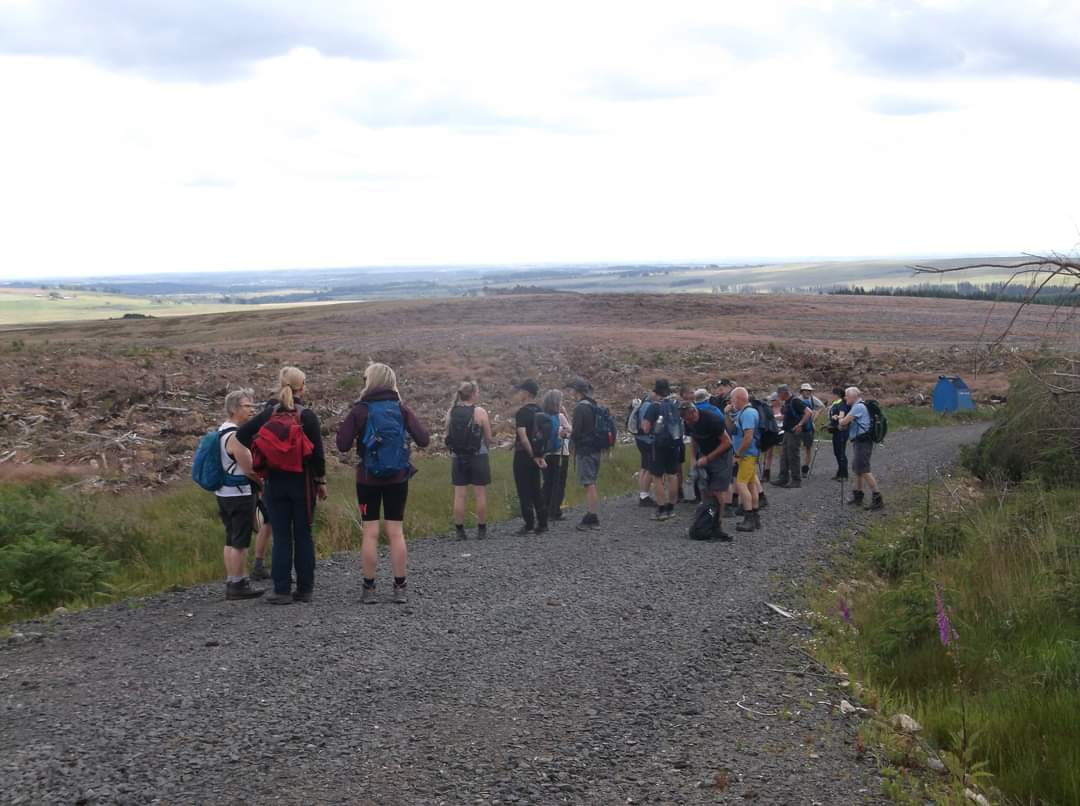
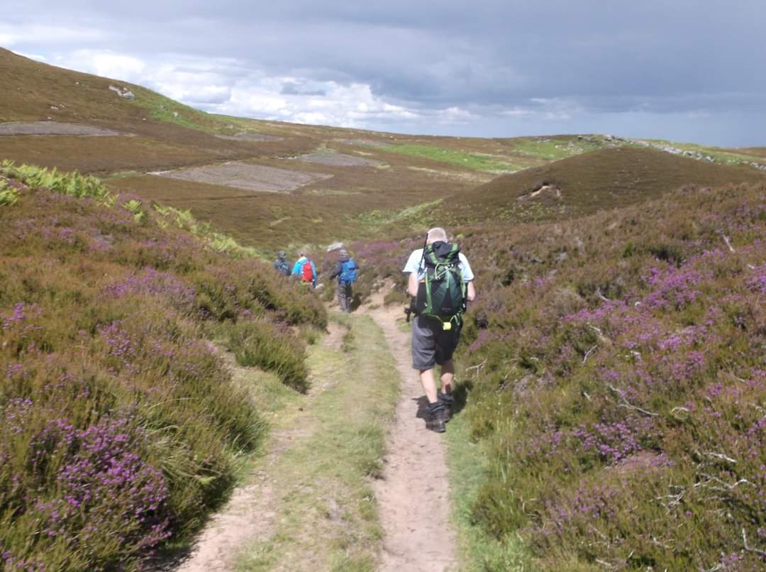
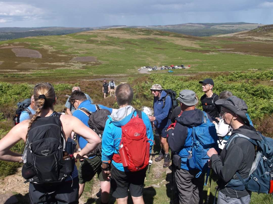
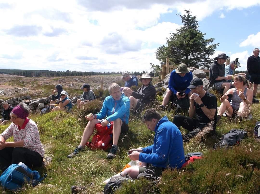
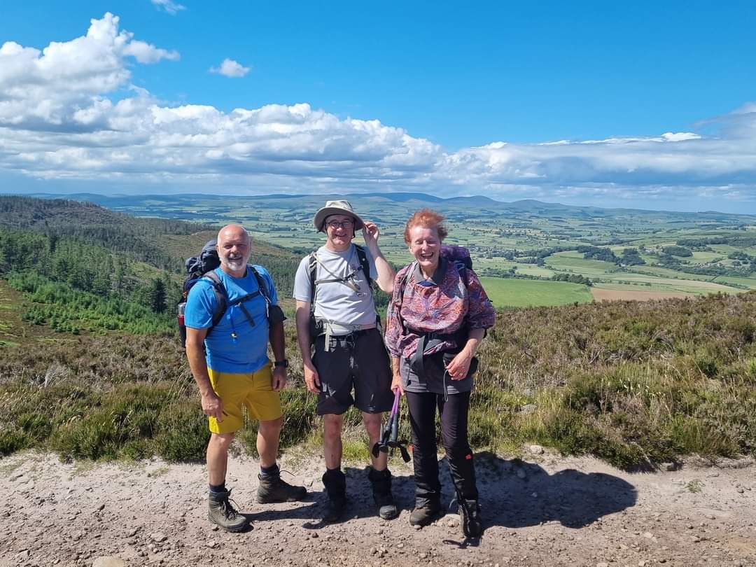
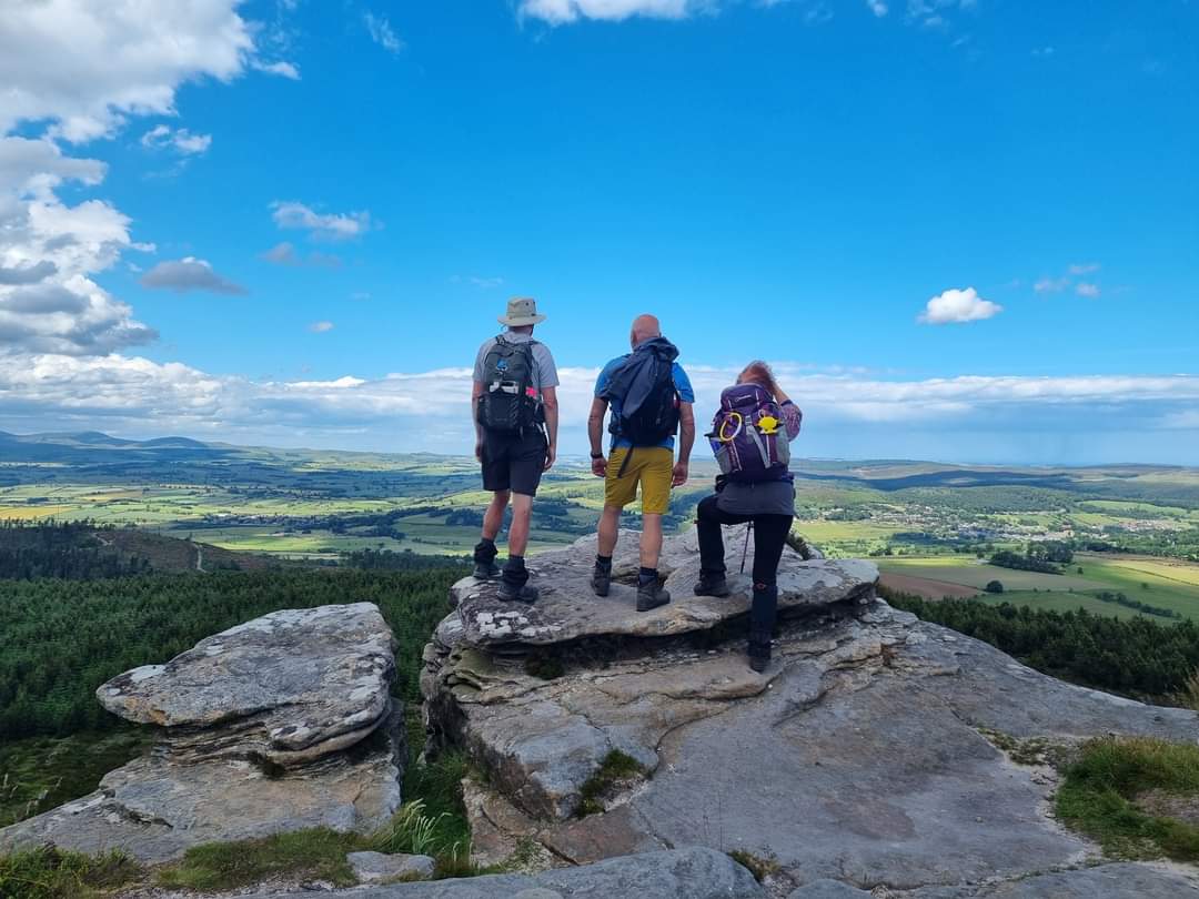
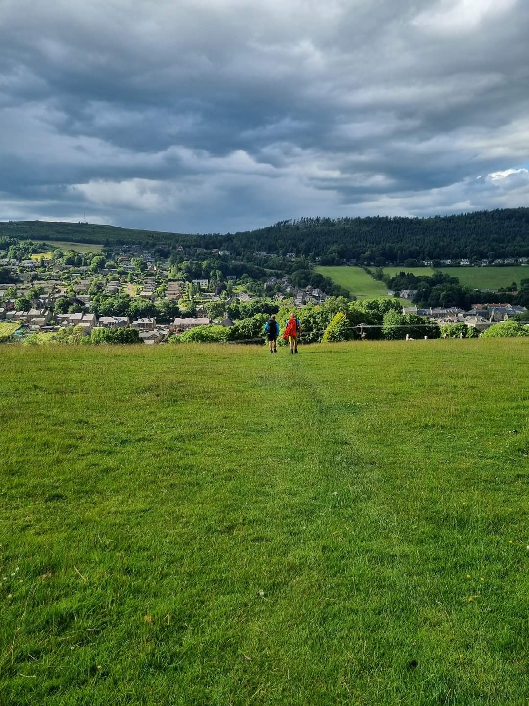
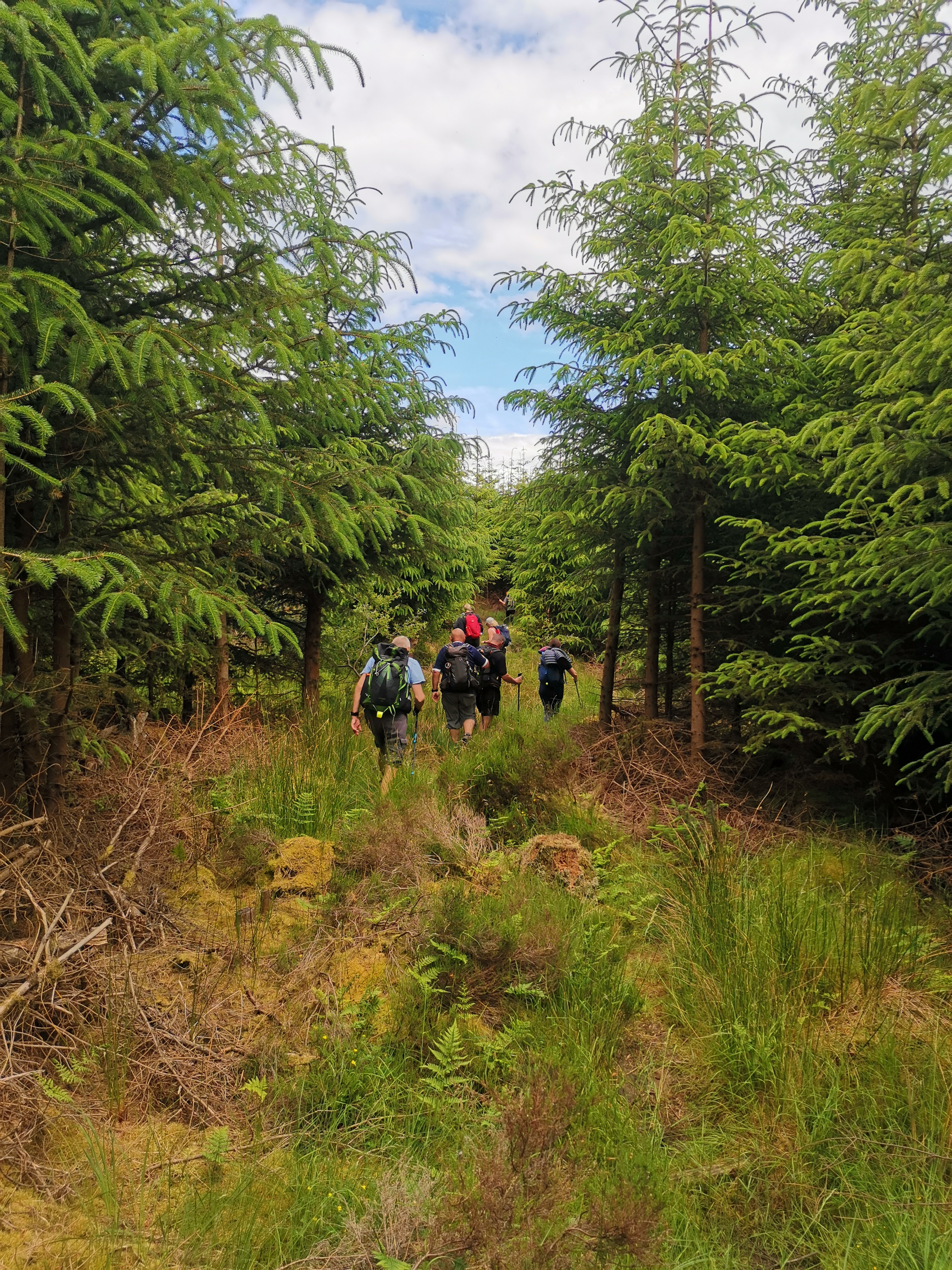
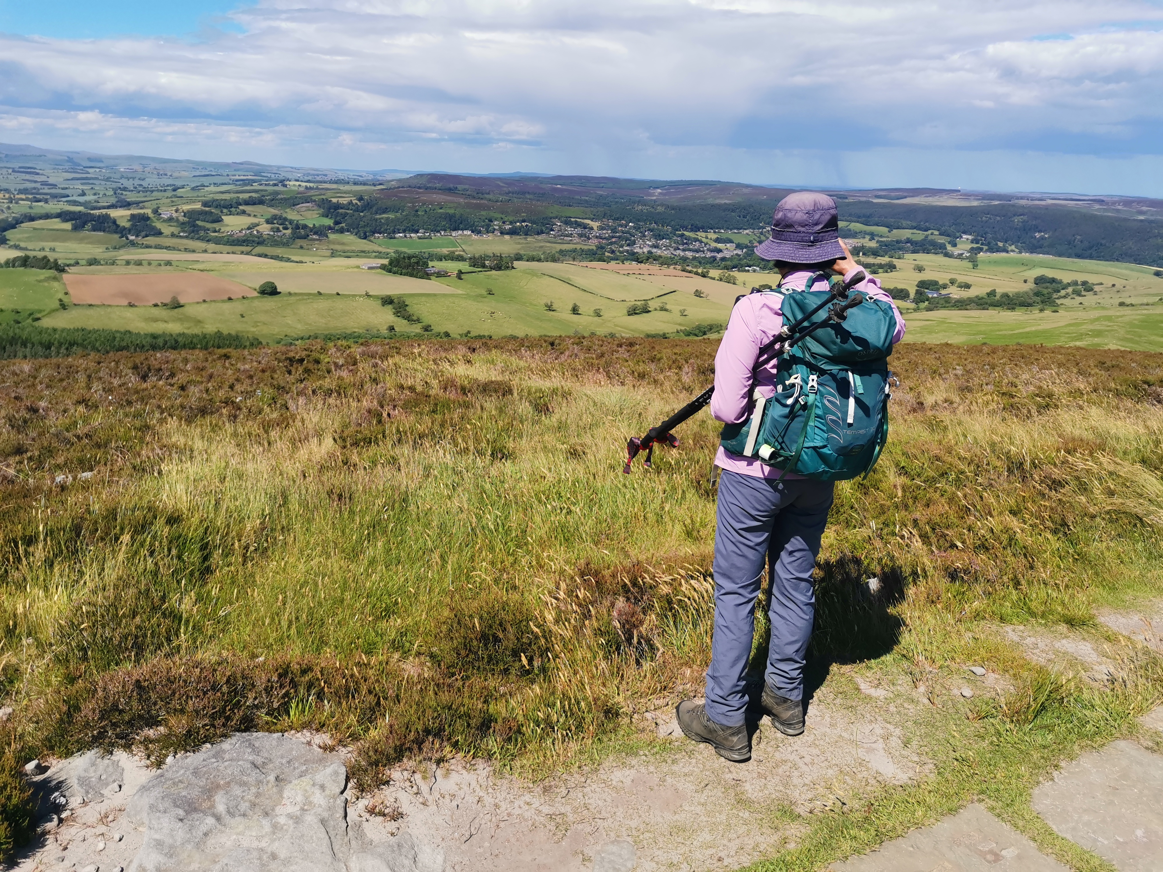
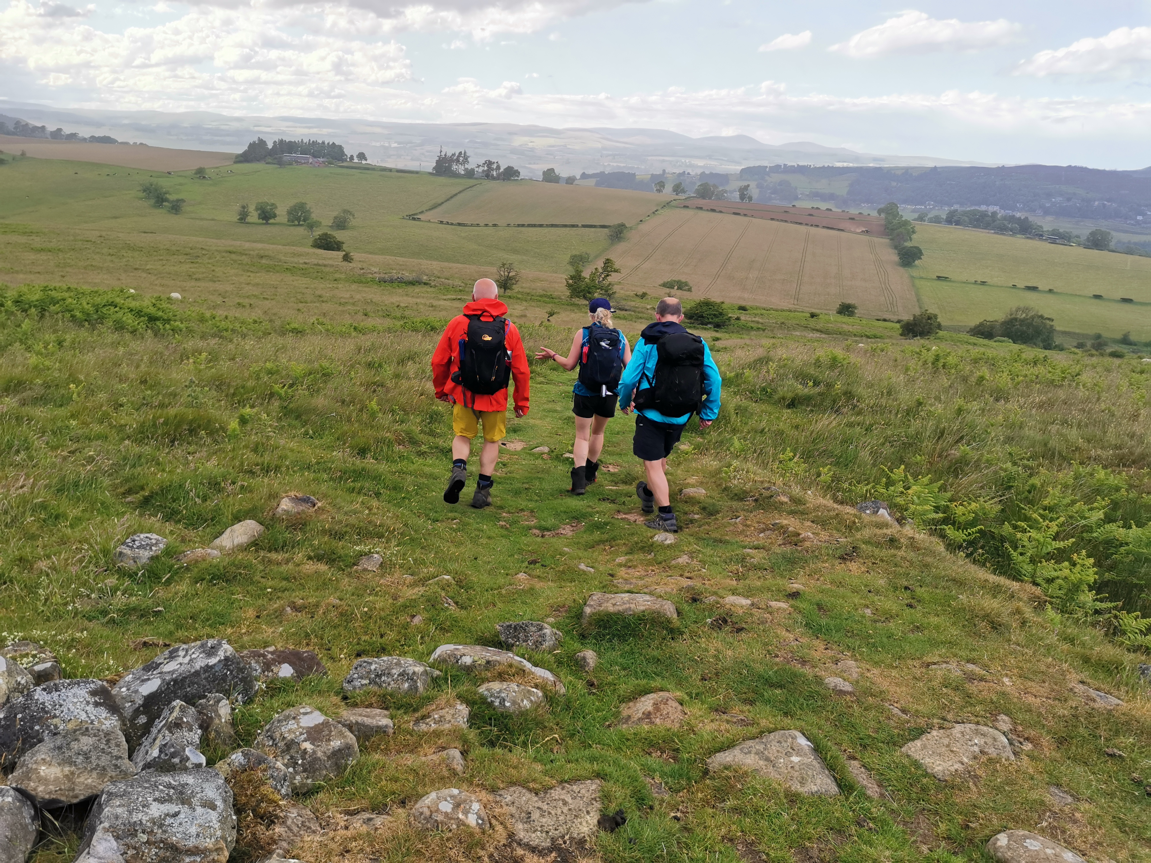
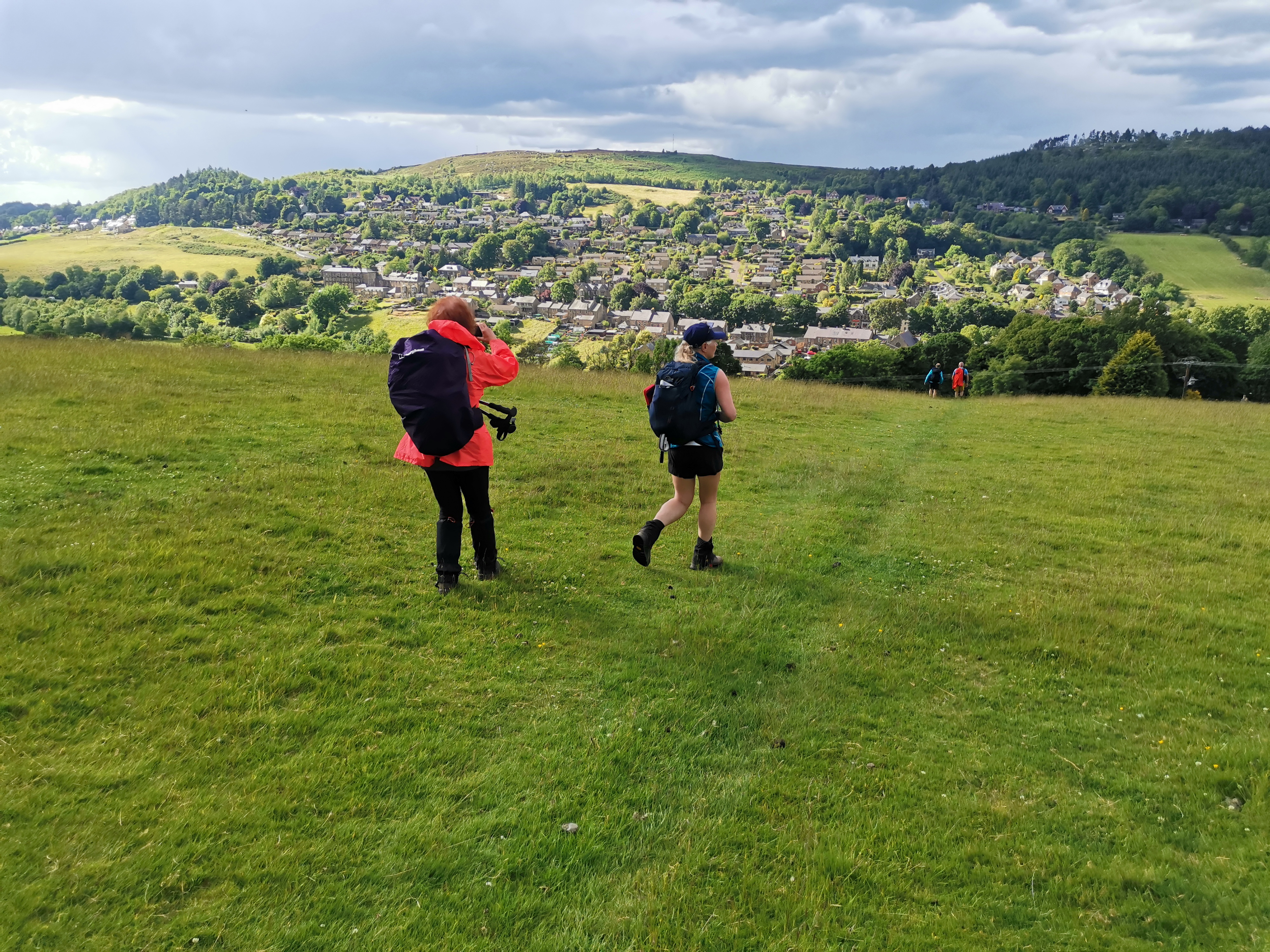
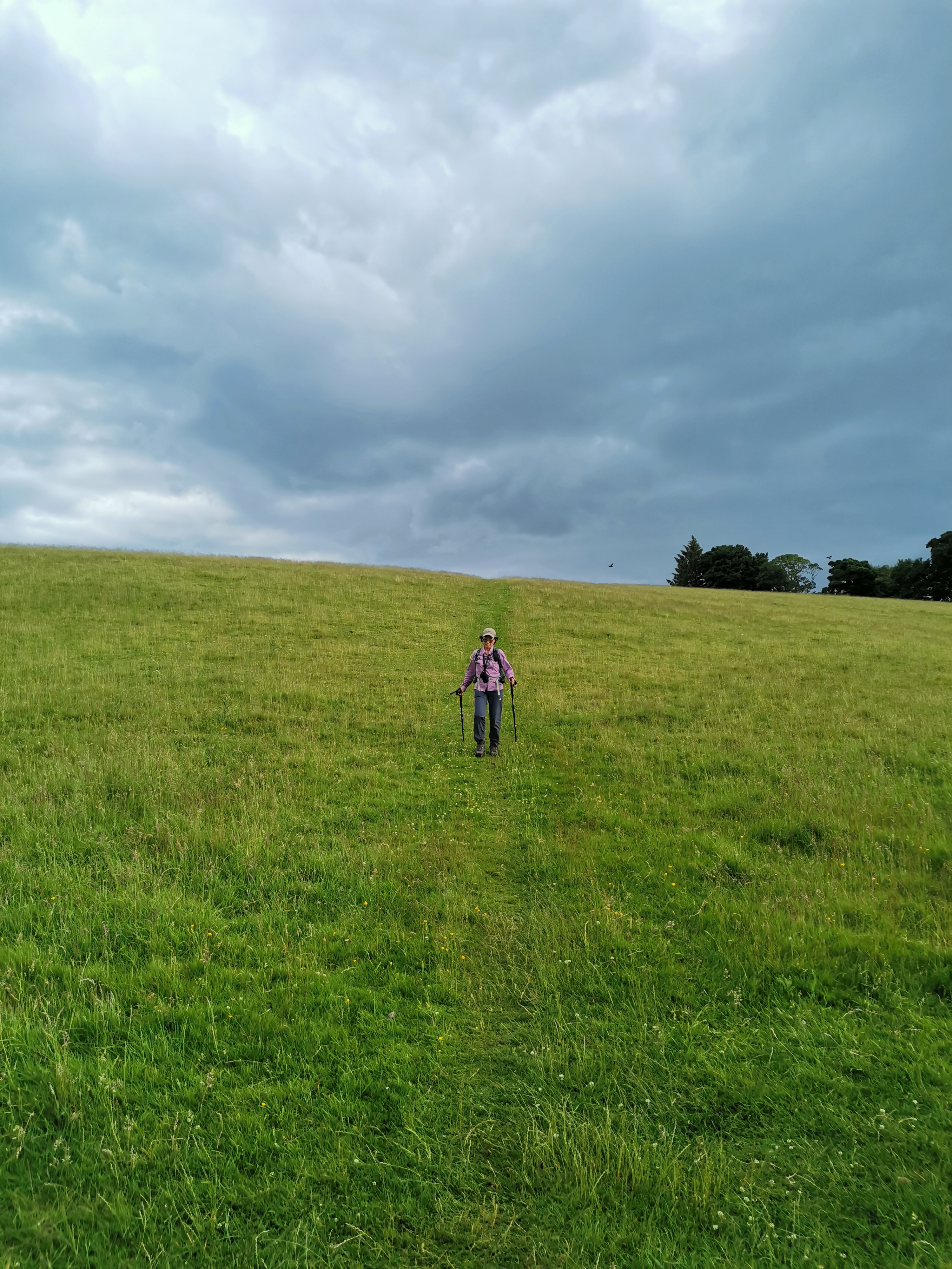
Northumbria LDWA today's group walk:- Pilgrimage of Light, stage 4, Kirkwhelpington - Rothbury via Camp Hill, Catcherside, Harwood Forest, Coquet Cairn & Lordenshaws. There were two routes, 15 miles and 20 miles. The standard 15 mile route was basically along St Oswald's way. And the 20 mile route with an extra loop into the Simonside Hills. Weather was lovely at most of the day, but we did get caught of heavy shower and hailstone in the late afternoon. A great day out with the group of 26. Thank you to Len for leading the walk and to Paul for organising. ( Liyang)Other Files
GPX
A GPX file of the above route may be downloaded by clicking the link below.
Note: GPX files of Group Walks are created by LDWA Group members, and may be downloaded only by other LDWA members. They should not be made available outside the LDWA, and are used at members' own risk.
Login to Download (Members Only)You can use the interactive controls to zoom in and out and to move around the map, or click on a path or a marker for more info. (interactive map help)
You can use the interactive controls to zoom in and out and to move around the map, or click on a path or a marker for more info. (interactive map help)
© OpenStreetMap contributors under Open Database Licence
Rights of way data from selected Local Authorities
Large scale digital mapping is provided by John Thorn
At high zoom levels the route is indicative only.
Gallery

Maps:
You can use the interactive controls to zoom in and out and to move around the map, or click on a marker for more info. (interactive map help)
© OpenStreetMap contributors under Open Database Licence.
Rights of way data from selected Local Authorities.
Large scale digital mapping is provided by John Thorn.


