
50th Anniversary Pilgrimage - Part 2 - Castleside to Hexham
Sat 26th Mar 2022
Walk Details:
Castleside, Muggleswick, Edmundbyers, Blanchland, Hexham
Entry Details:
Walk Report
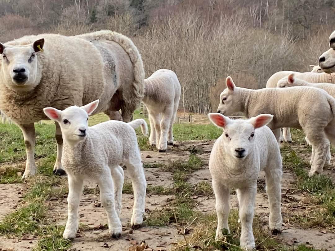
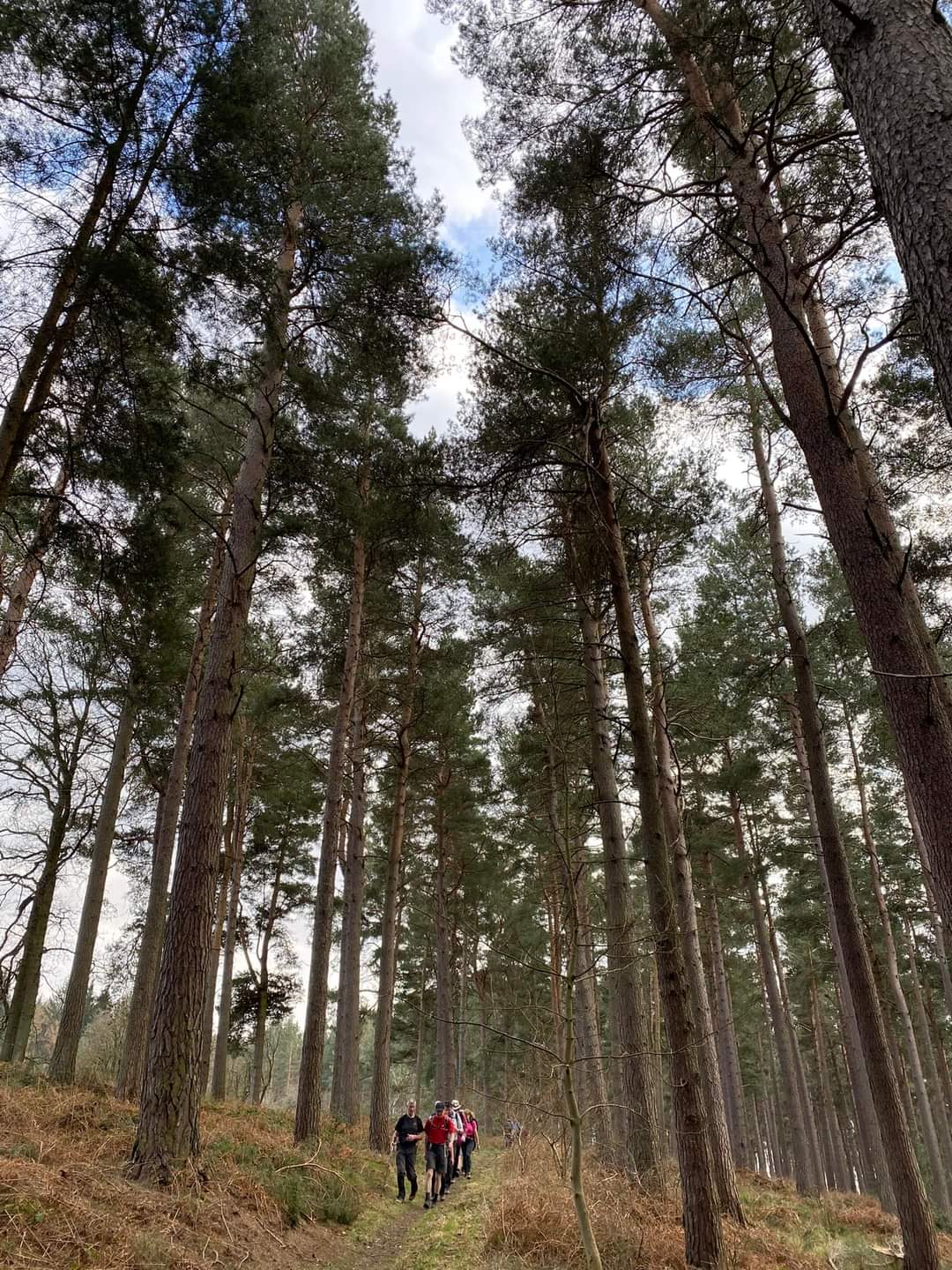
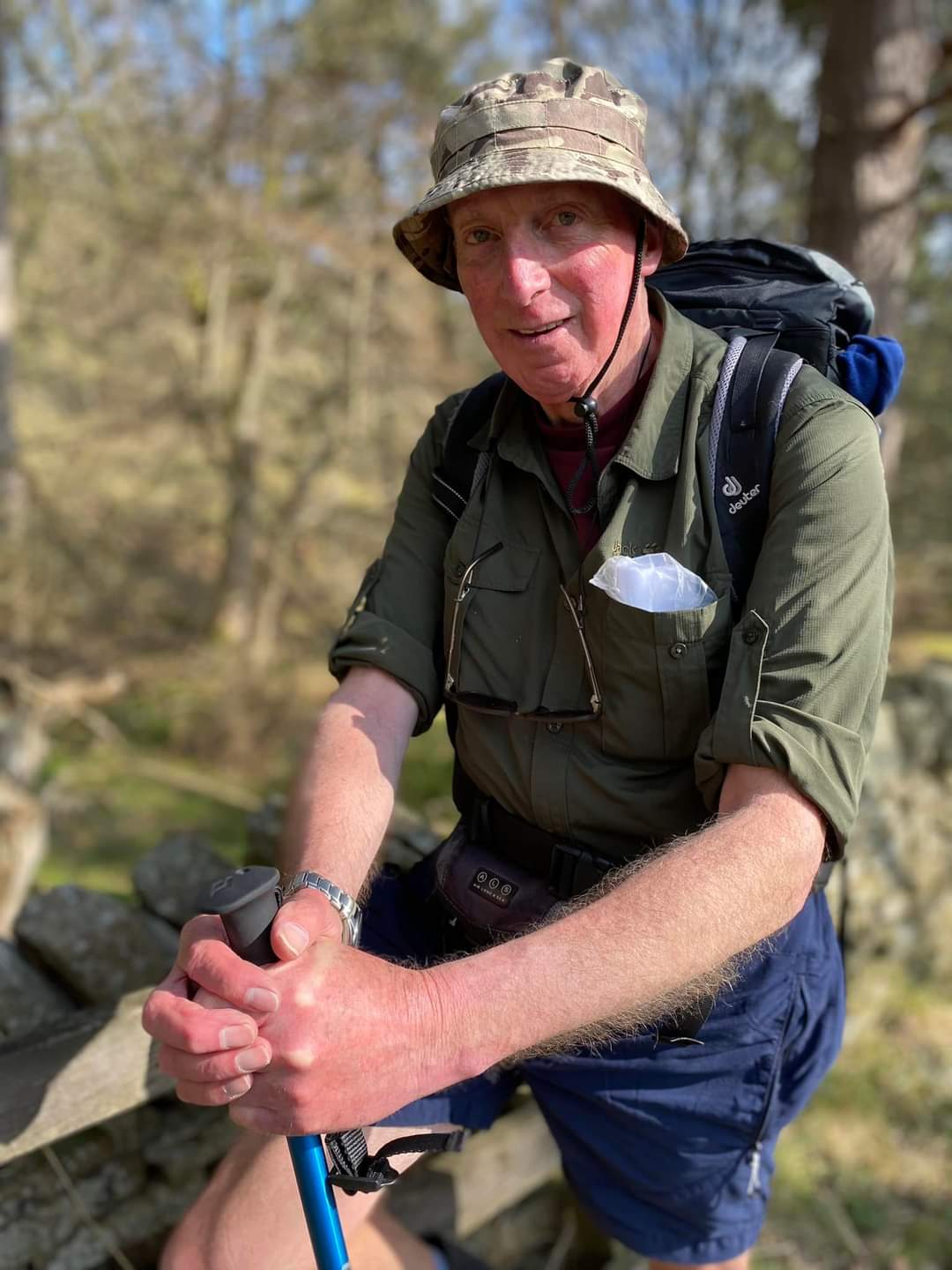
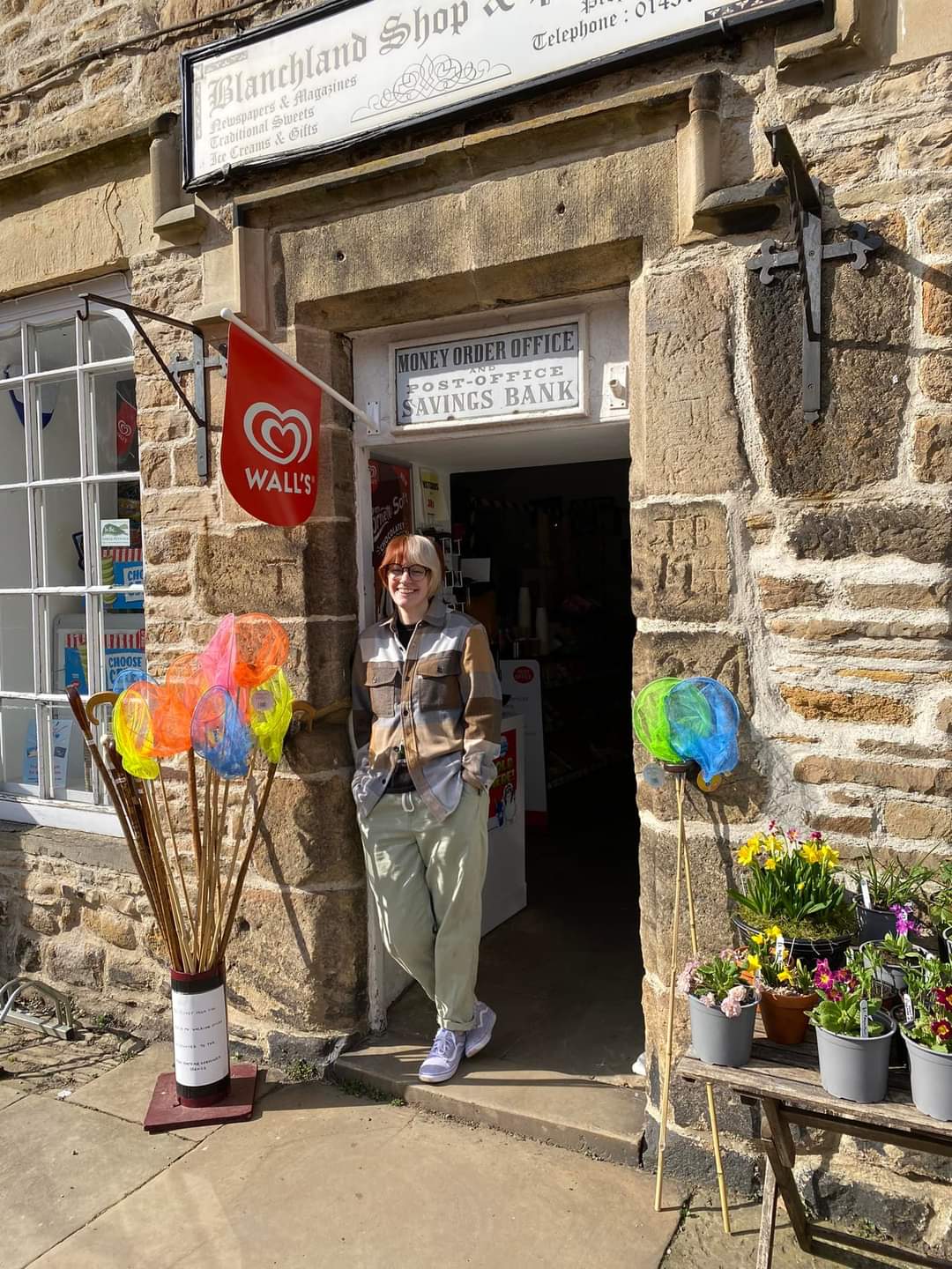
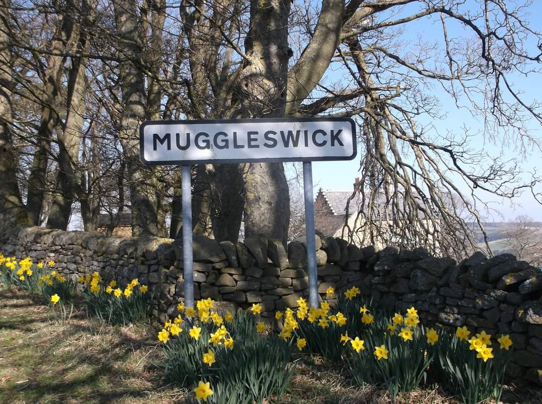
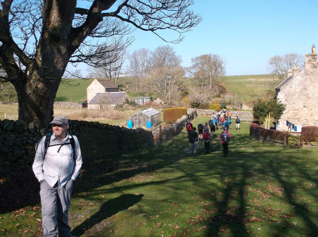
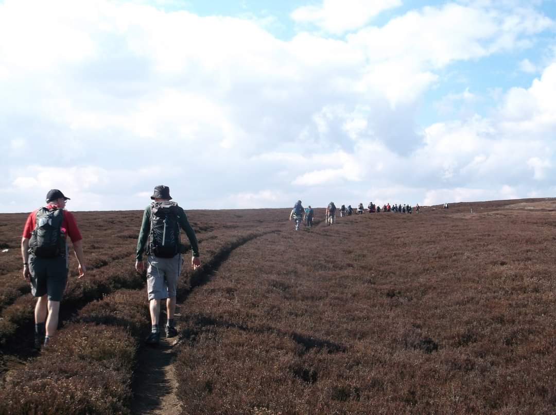
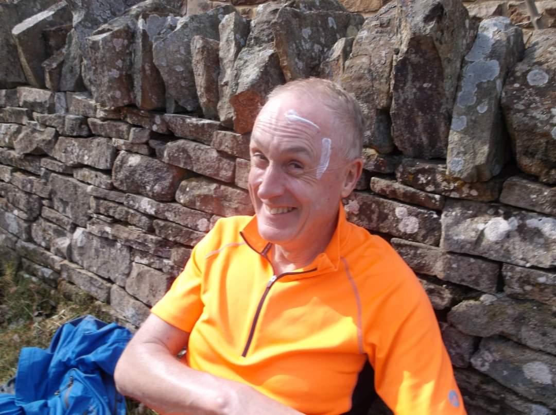
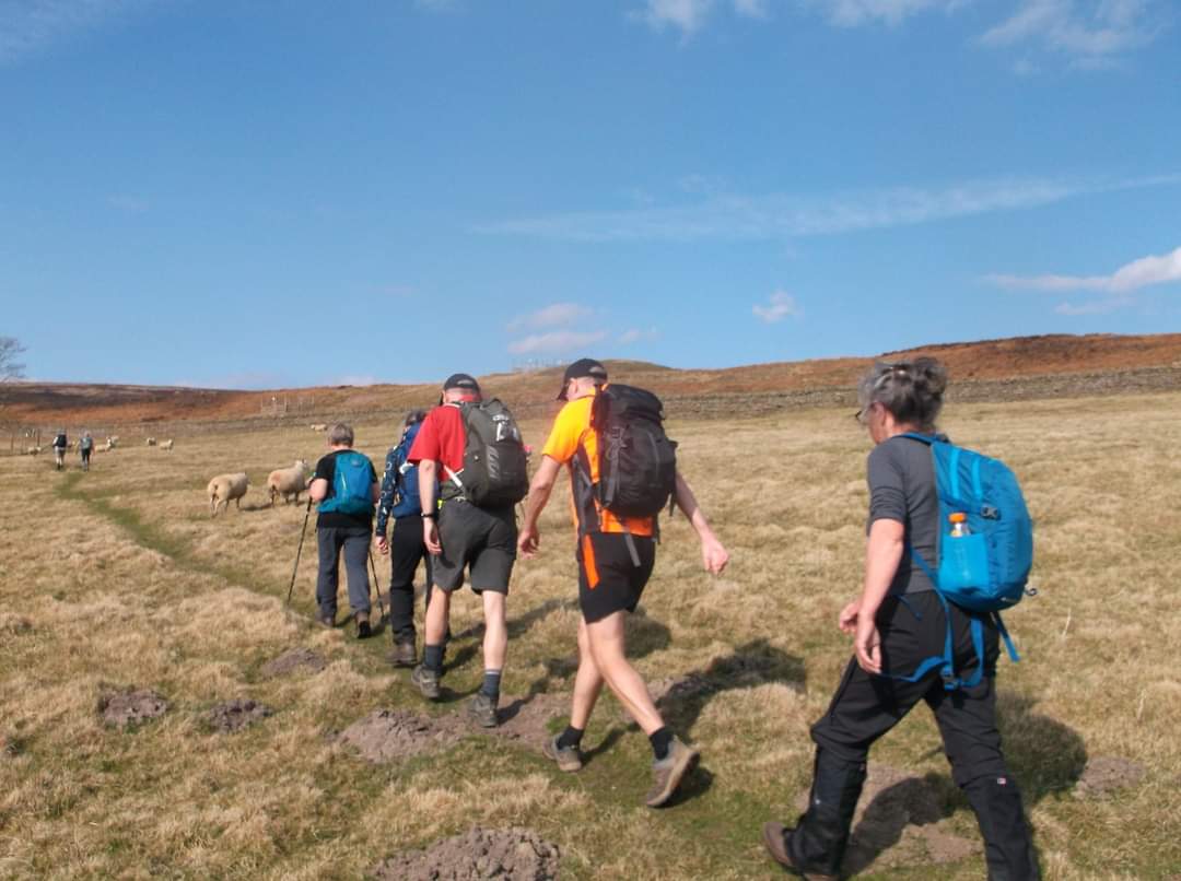
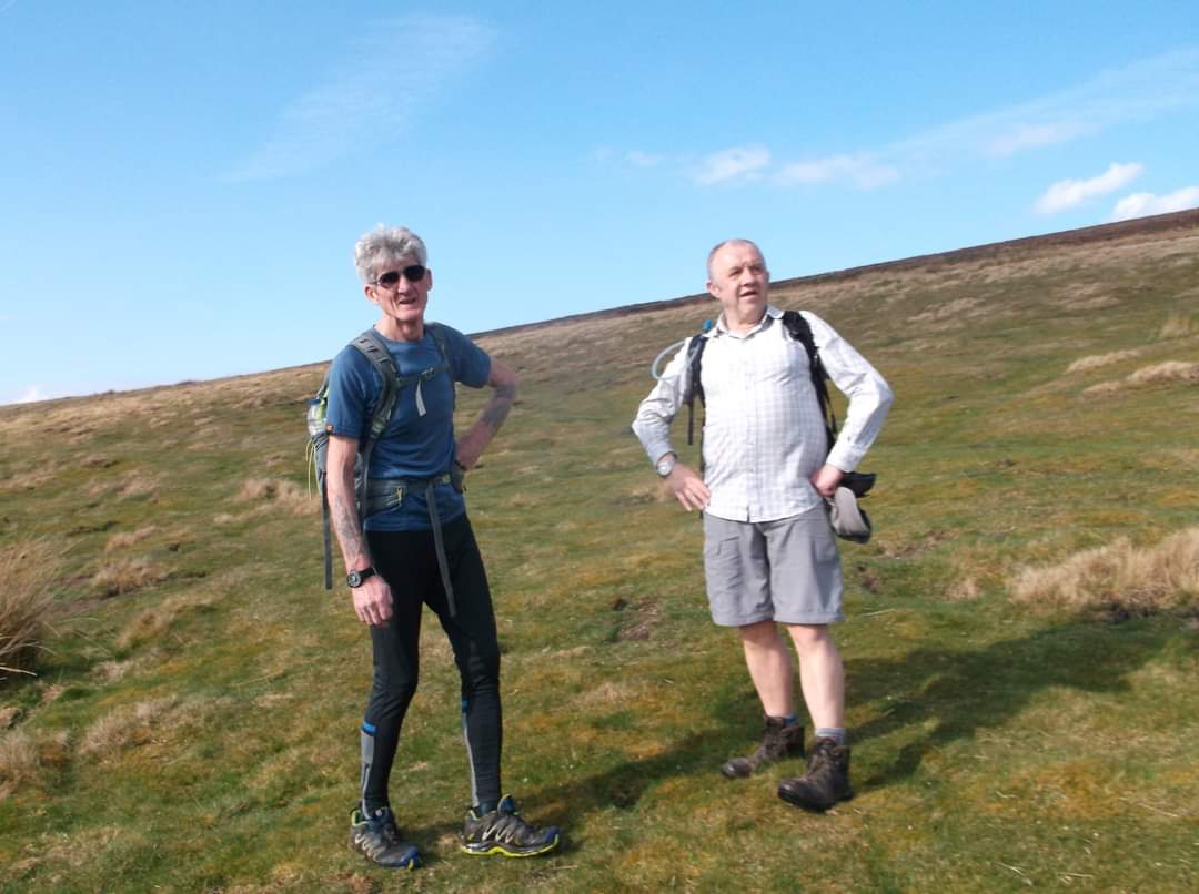
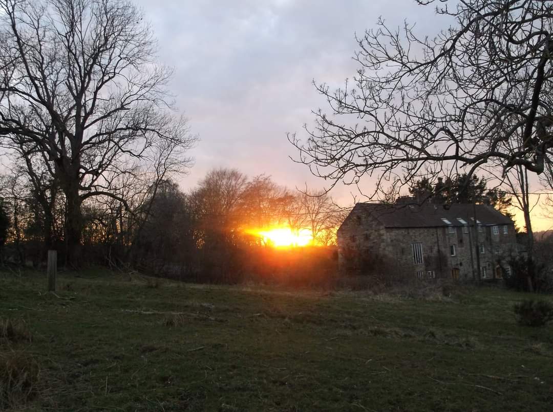
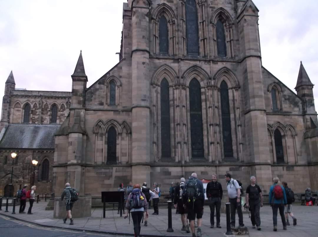
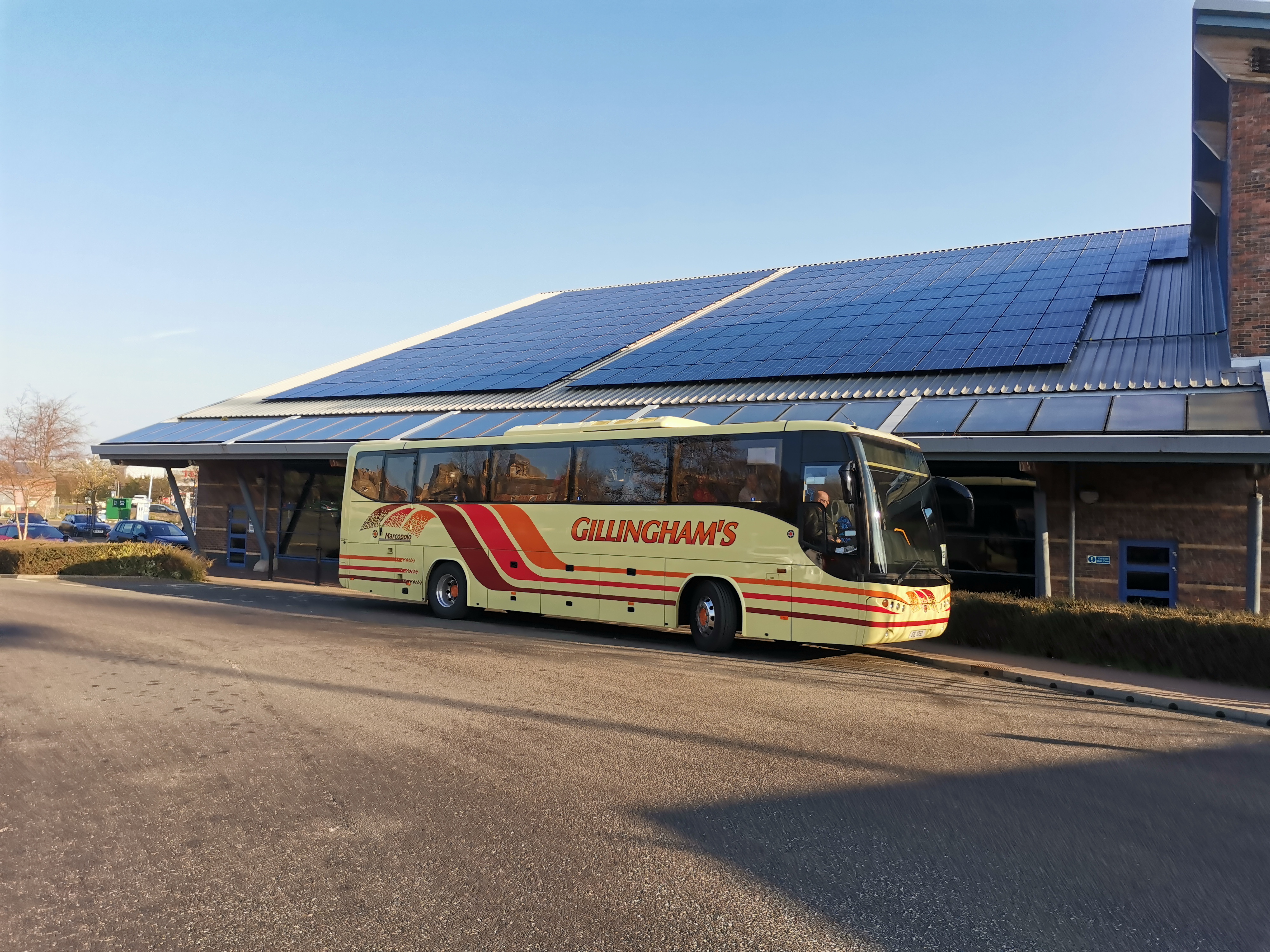
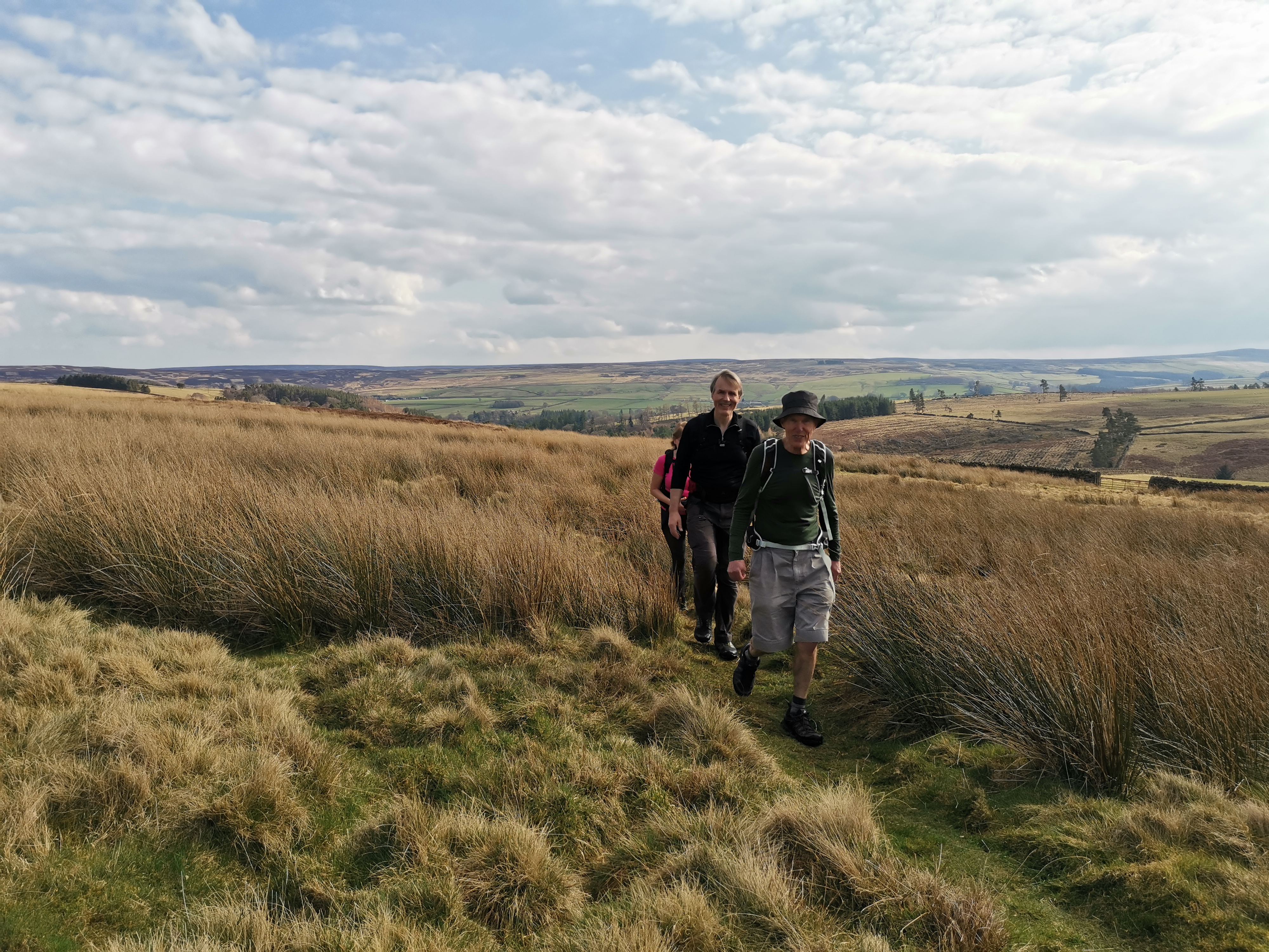
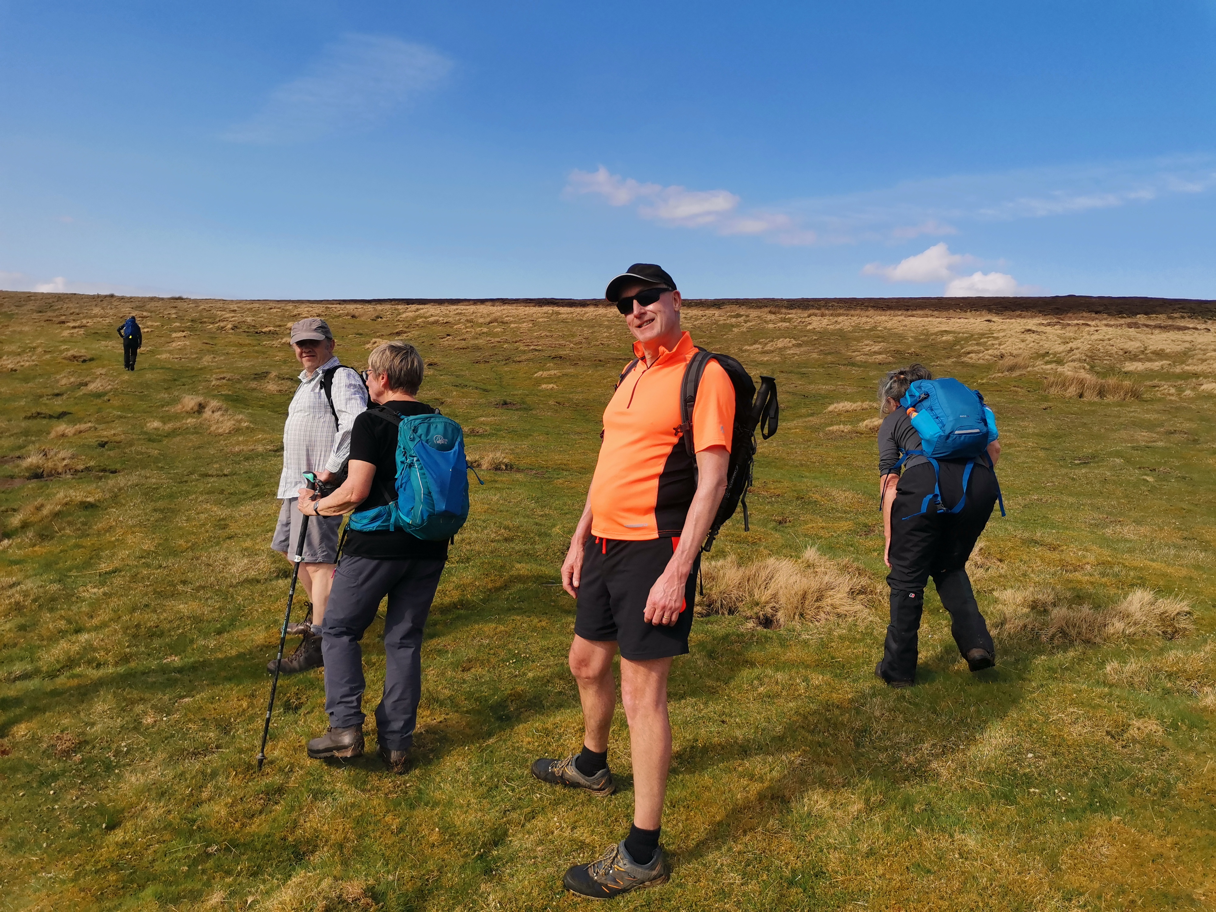
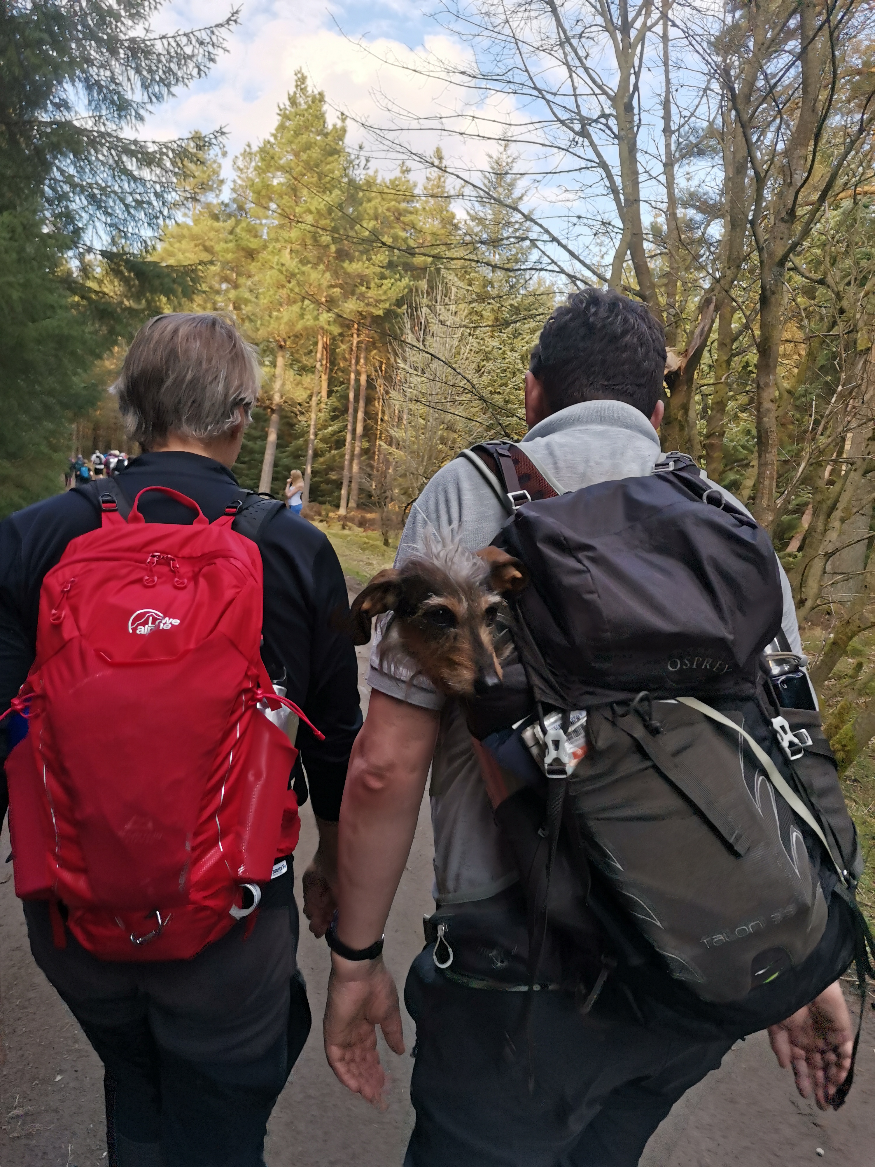
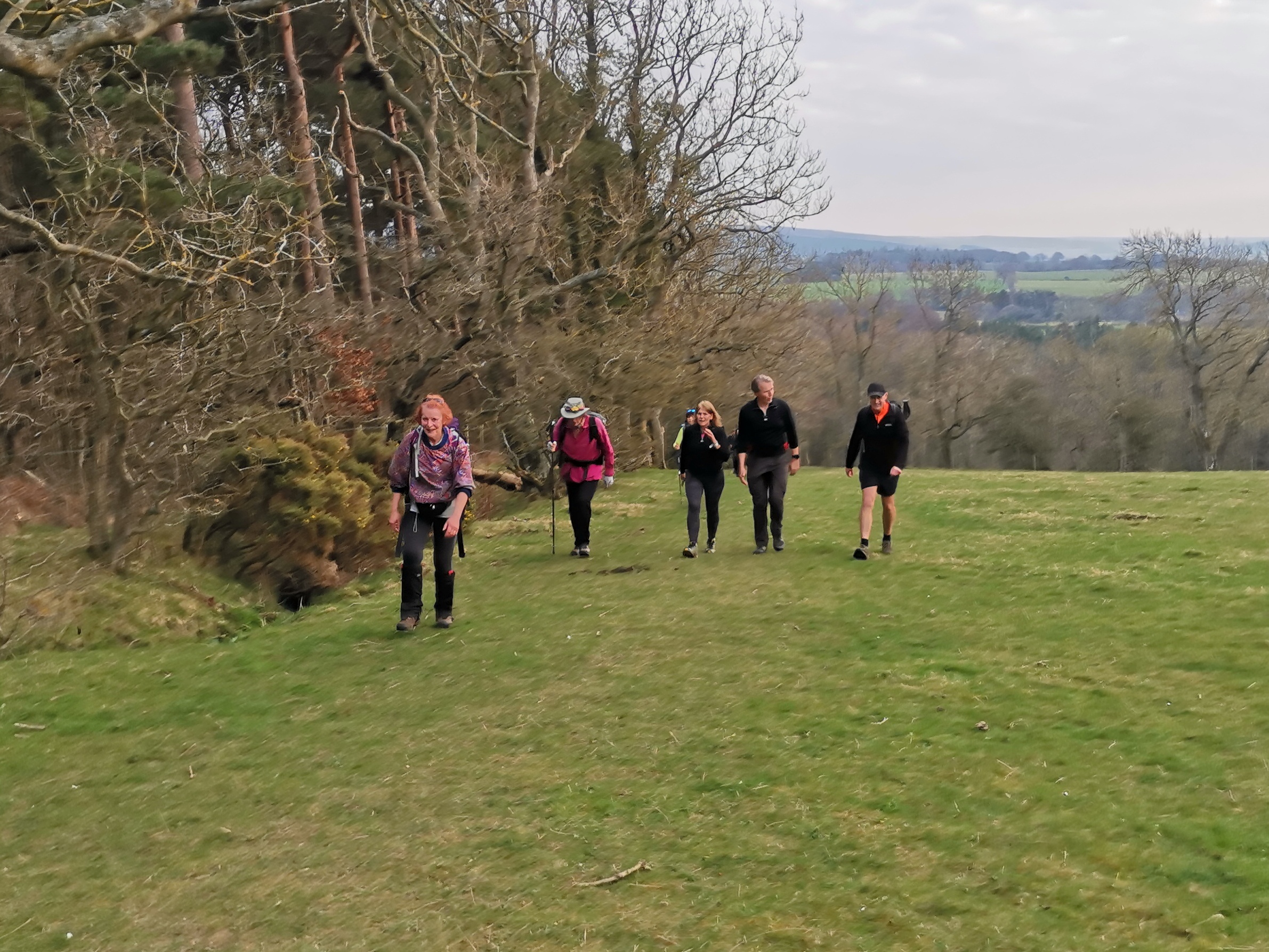
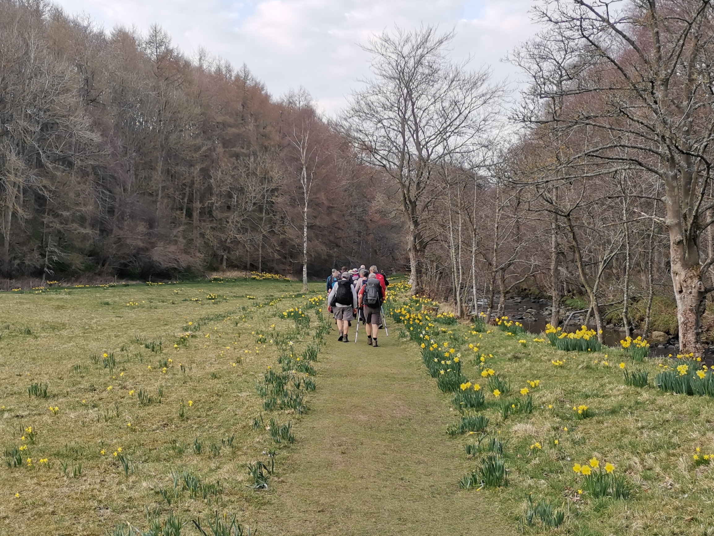
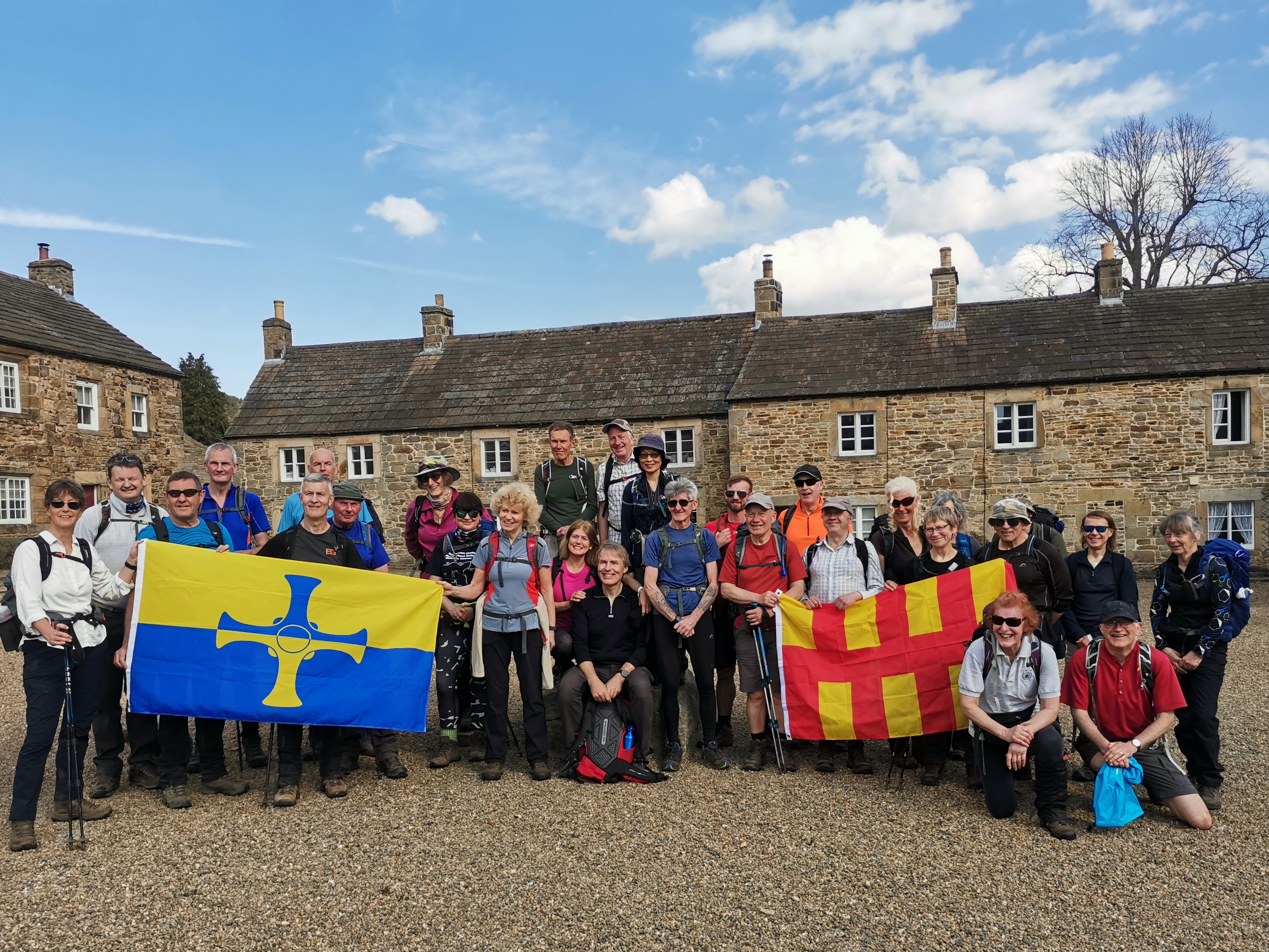
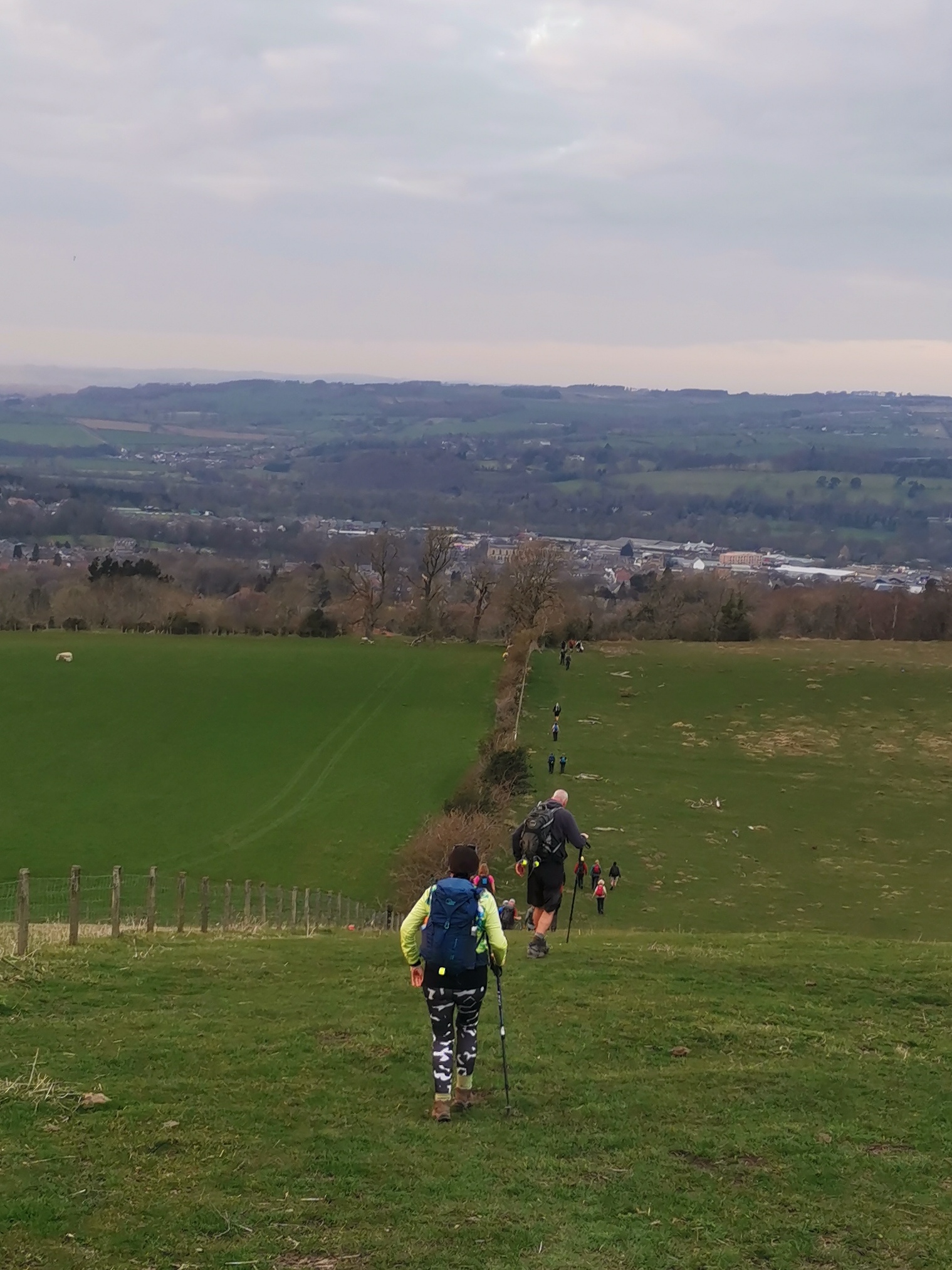
When leaving Blanchland heading north to Slaley Forest there are a couple of choices of route. Firstly, between Blanchland and Shildon ( NY960511), (a) up the minor road, which is the Pennine Journey way, (b) the public footpath through the woods a couple of hundred metres to the east, which is the better route, and the Way of Light. Then from Shildon there is a further choice, (a) the Way of Light and the Pennine Journey on the stoney track past Pennypie house to NY950525, or (b) the footpath across rough ground of Pennypie Fell to the north-east of the track, taking you to the same point NY950525, this being the more interesting path, but can be quite wet at times. The route is actually 24 miles. On Saturday 26th March, my first walk in glorious sunshine without wind, a drop of rain or hail! - a brilliant day on the 2nd leg of the Northern Saints Trail that stretches from Durham to Lindisfarne, being walked by the Northumbrian group of the LDWA as part of the association's 50th anniversary celebrations. It is a linear walk, this section being between 23-24 miles. We met at Hexham, that days destination, and coached it back to our start point at Castleside leaving there at 9a.m. It was a beautiful very varied walk over pasture, through woodland, alongside streams and across the moorland tops. On route to Muggleswick we passed splendid old barns, the remains of lime kilns and an intriguing war relic in the middle of pasture. Muggleswick All Saints church was built in 1259, but the present building dates from circa 1728 and the 19th century saw further building works. The spectacular medieval ruin of Muggleswick Grange is of national importance given that standing remains of monastic granges from this period are rare. It was built during the mid-1200s for the Prior of Durham and originally in the grounds of an enclosed park. ''A grange was farm owned and run by the monastic community to provide food and materials for the parent monastic house and to sell surpluses for profit. A 1464 document shows that at Muggleswick there was a hall, chapel, grange and a dairy, and a large stock of oxen, cattle, calves, sheep, pigs and lambs.'' https://www.northpennines.org.uk/location/muggleswick-grange/ Into Edmundbyers we passed the BAA pub and YHA with the amazing stone statues in the rear garden! I have tried but can find nothing relating to their origins and would appreciate if anyone could tell me more. We had a break in the church yard of St Edmund, Edmundbyers - a Grade 11 listed building dating from the 12th century and restored in 1859. A moorland walk with 360 degree spectacular views led us on to the pretty village of Blanchland which has evidence of abbey building everywhere. The name means 'white land', which refers to the white robes worn by monks of the order who established a monastery here in 1165. After the dissolution of the monasteries by Henry VIII in the 16th century the west range of the abbey was incorporated into what is now the Lord Crewe Arms hotel, including the abbot's lodging, guesthouse, and the monastic kitchen. The abbey gatehouse, built around 1500, is opposite the Lord Crewe Arms. We enjoyed our lunch break here near the foot of the bridge and posed for our group photo, bearing flags of Northumberland and Durham, photo courtesy of Jo. Walking on out of Blanchland we passed the now familiar Shildon Engine House built c. 1805. It housed a Cornish pumping engine which kept the network of underground lead mines operating smoothly. Blanchland was a centre for lead mining from the 19th century. Unfortunately by the mid 1800s it was cheaper to import lead from abroad!! and in the 1860s the engine house became redundant, the last mine in the area closing in 1986. From the moorland tops we dropped down in to the valley of Devil's Water following a woodland path to our final stop at the striking gothic arches of Dukesfield lead smelting mill, between Slaley and Whitley Chapel. The arches are all that visibly remains of what is reputed to have been the largest such smelting mill in the country for a century or so from the 1670s, run by the Blackett and then the Beaumont family. The lead ore was carried by packhorses to the south and west, and the smelted lead - and silver- then carried on to the markets of Tyneside. We continued following Devil's Water through Linnel Wood with, at one point, a glorious array of daffodils spread across the side of a bank and flanking a grass pathway. Then, soon after, my first sight of spring lambs. Spring has surely sprung! And so on towards Hexham, a glorious sunset appearing as we dropped down though the fields to the road leading to our destination, the magnificent Hexham Abbey. The Abbey is one of the oldest sites of Christian worship in the country founded by St. Wilfrid as a Benedictine Abbey in AD 674. Its current form dates from building works during the 12th century when it became an Augustinian Priory, with additions in the very early 20th century. Following the Dissolution of the Monasteries in 1537, while the priory was dissolved, the church survived to become the Parish Church of Hexham. Many thanks to Paul Ashman and Paul Nellist for leading the walk and for the good company of fellow walkers. Of course our absolute final destination was the Station Inn for the usual pint and banter. Beryl MasseyOther Files
GPX
A GPX file of the above route may be downloaded by clicking the link below.
Note: GPX files of Group Walks are created by LDWA Group members, and may be downloaded only by other LDWA members. They should not be made available outside the LDWA, and are used at members' own risk.
Login to Download (Members Only)You can use the interactive controls to zoom in and out and to move around the map, or click on a path or a marker for more info. (interactive map help)
You can use the interactive controls to zoom in and out and to move around the map, or click on a path or a marker for more info. (interactive map help)
© OpenStreetMap contributors under Open Database Licence
Rights of way data from selected Local Authorities
Large scale digital mapping is provided by John Thorn
At high zoom levels the route is indicative only.
Gallery

Maps:
You can use the interactive controls to zoom in and out and to move around the map, or click on a marker for more info. (interactive map help)
© OpenStreetMap contributors under Open Database Licence.
Rights of way data from selected Local Authorities.
Large scale digital mapping is provided by John Thorn.


