
Warkworth Wander
Sat 6th Nov 2021
Walk Details:
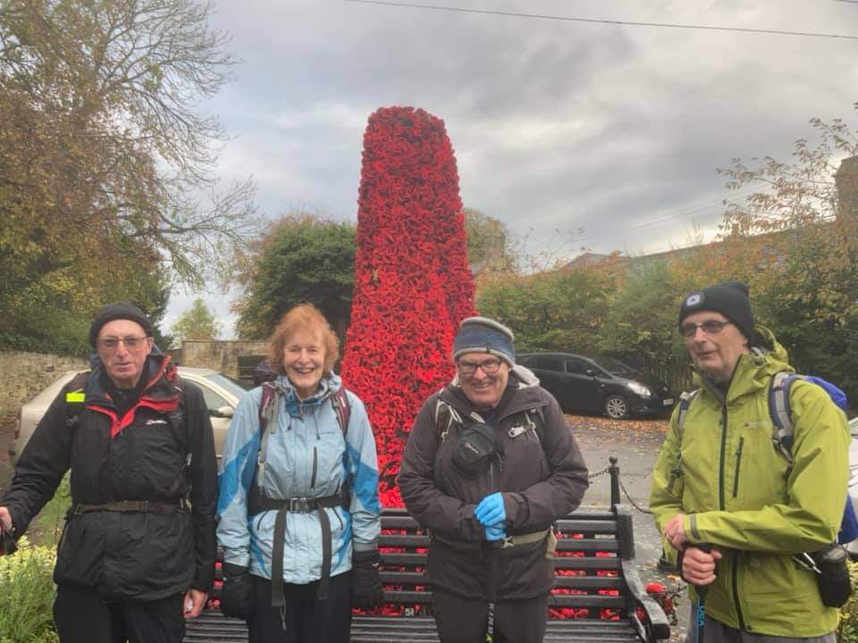
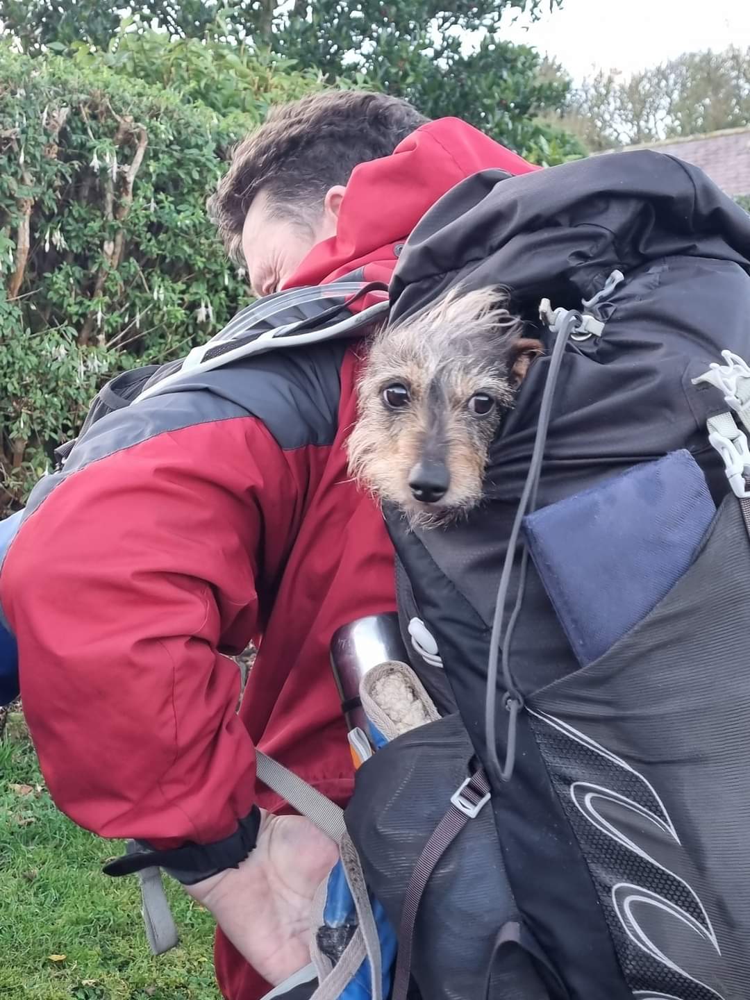
Leaders Ian Millican & Ian Hislop. Circular walk, largely in the Northumberland Coast area of outstanding natural beauty, Warkworth, Warkworth Beach, Alnmouth, Boulmer, Longhoughton, Greenrigg stepping stones across the River Aln, Spy Law. Dogs welcome on leads. Map OS Explorer 332, Alnwick and Amble. Leisurely group social walk pace. No need for pre-walk registration, just turn up on the day
Entry Details:
Walk Report
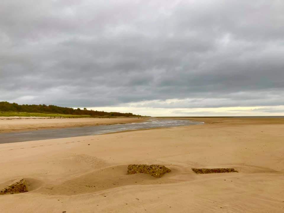
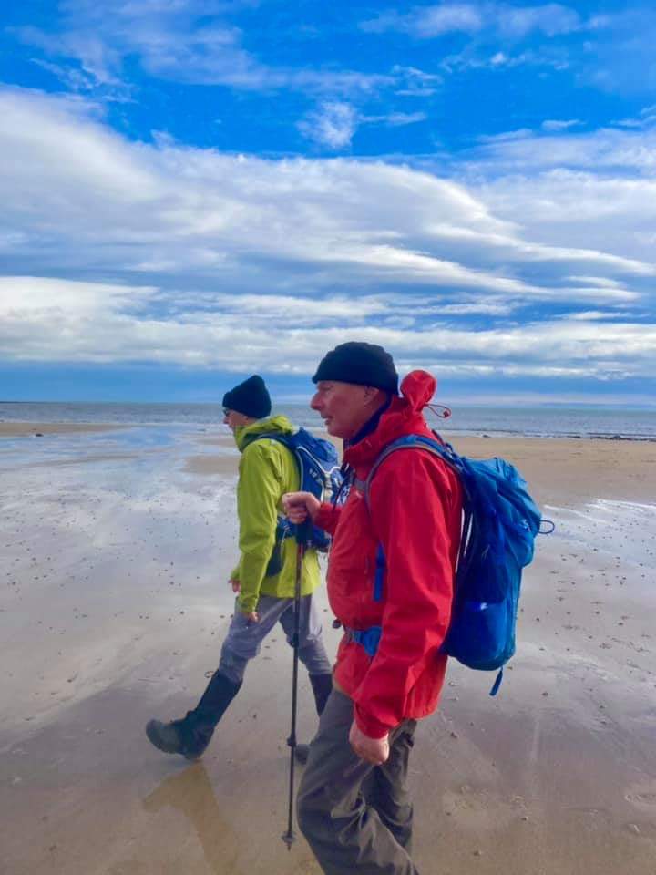
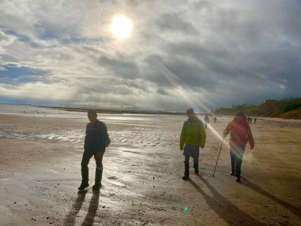
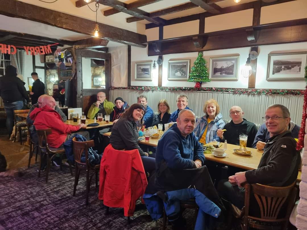
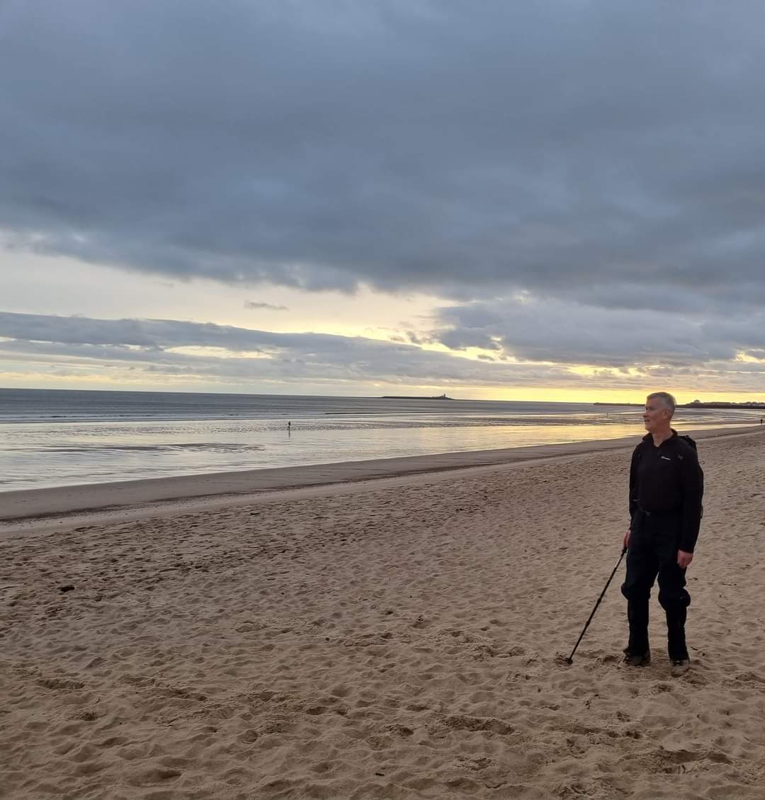
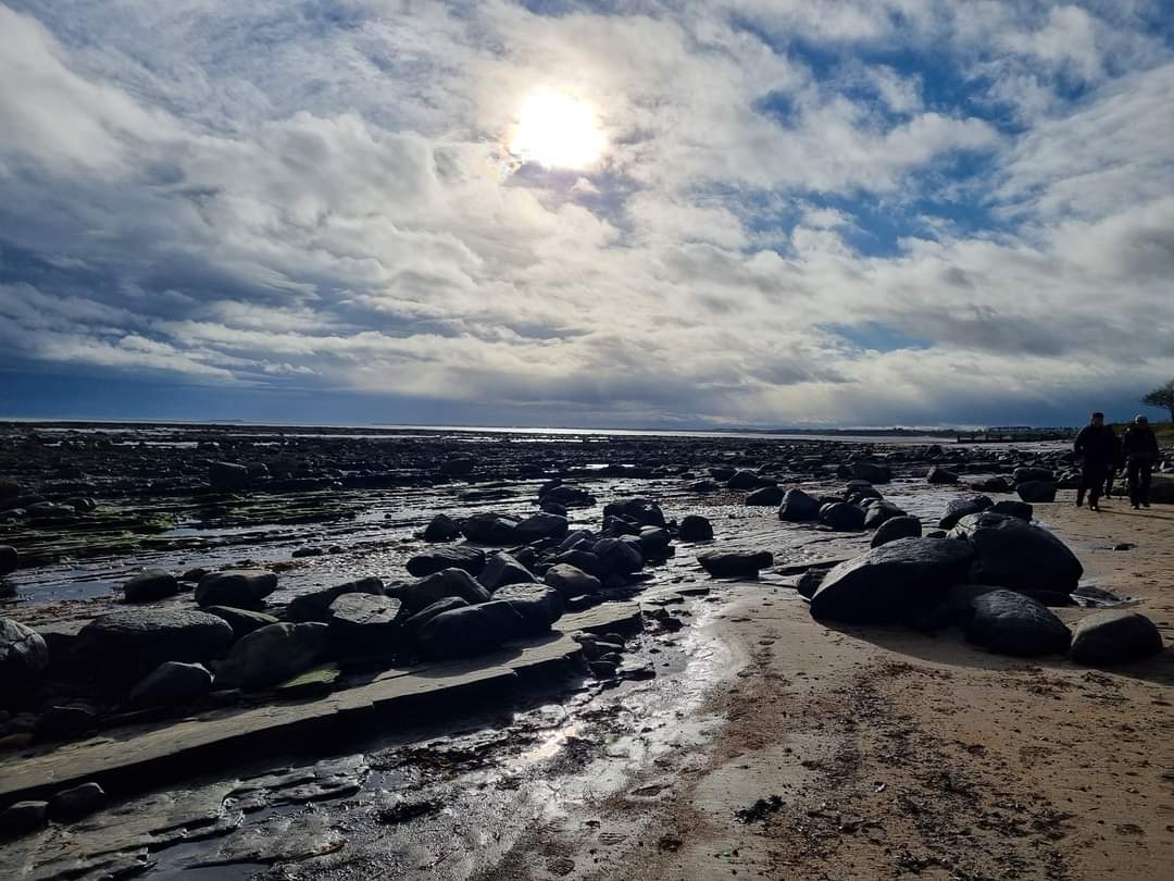
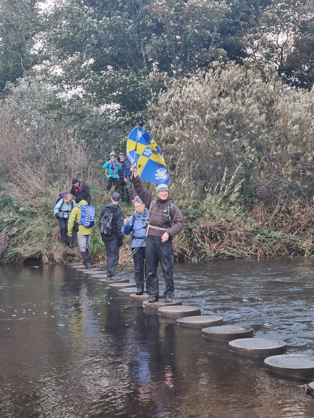
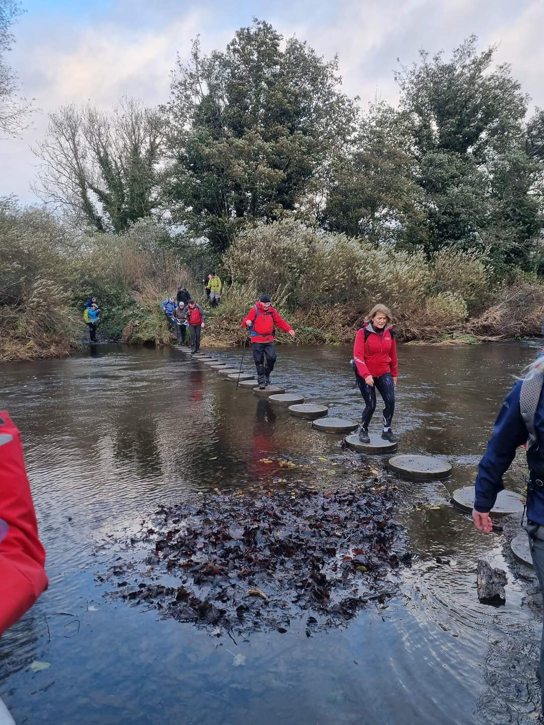
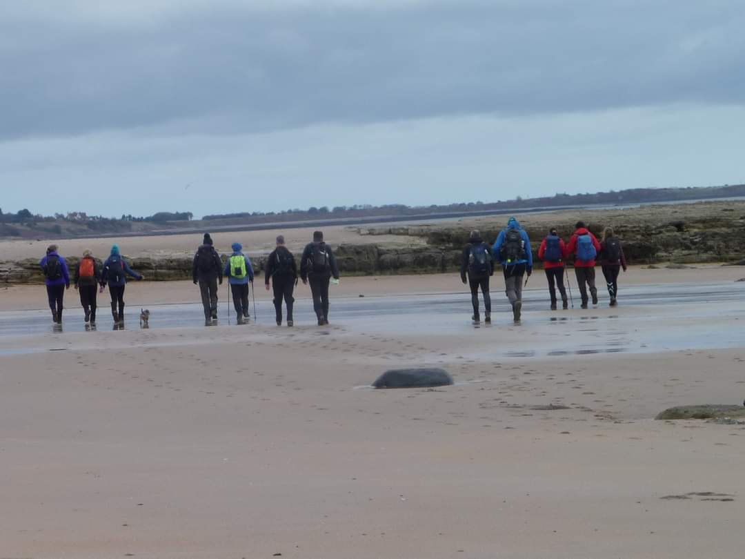
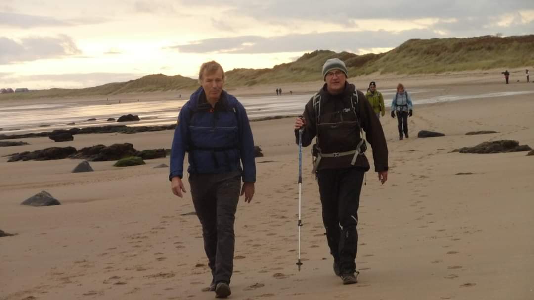
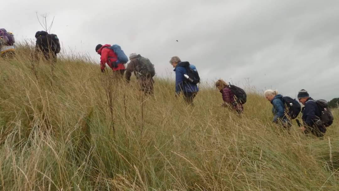
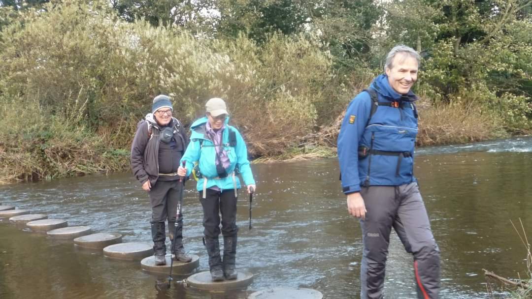
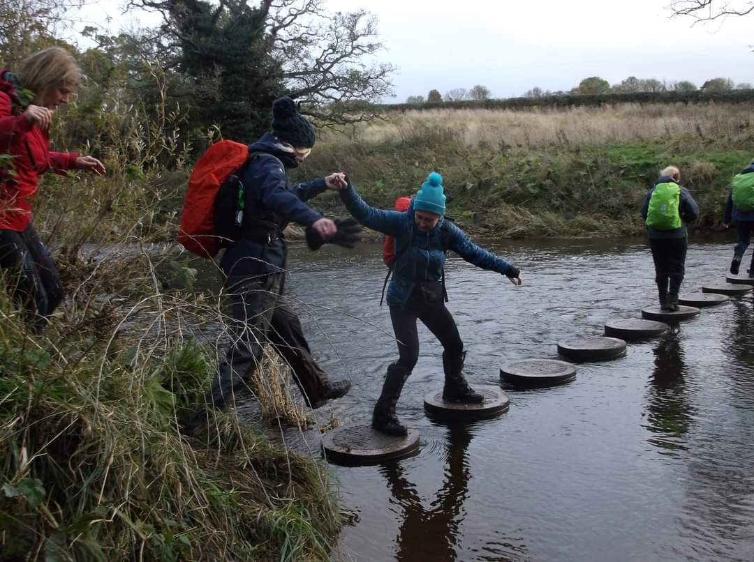
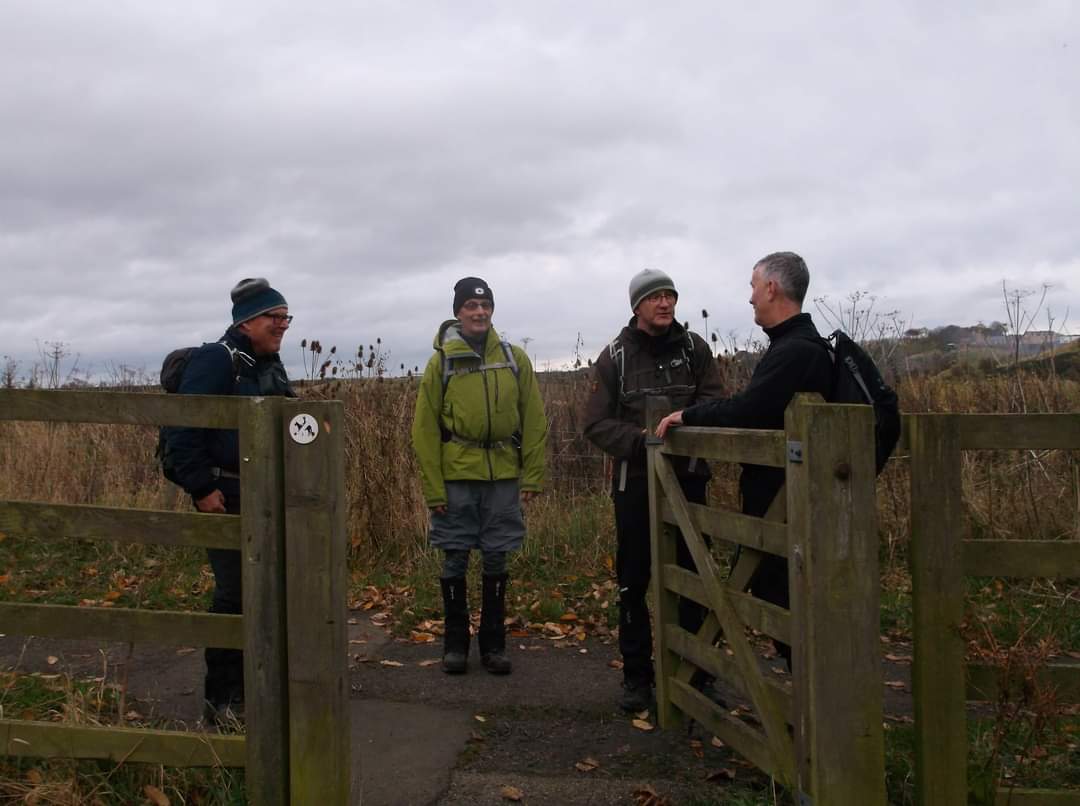
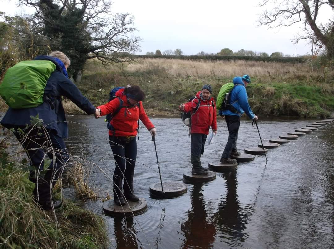
Leaders-Spike Millican and Ian Hislop. 20 miles, 650 metres of ascent, time 8hrs and 20 minutes. Plenty of free parking at the Warkworth riverside car park. Generally overcast day with only one episode of significant rain in the early afternoon. The walk was planned for low tide so that we could spend a significant amount of the walk on the beaches. There is stepping stones across the River Aln at Greenrigg (NU217118), which were fine to cross on the day, but if the river was in spate they may pose some difficulty and lead to a short detour.Other Files
GPX
A GPX file of the above route may be downloaded by clicking the link below.
Note: GPX files of Group Walks are created by LDWA Group members, and may be downloaded only by other LDWA members. They should not be made available outside the LDWA, and are used at members' own risk.
Login to Download (Members Only)You can use the interactive controls to zoom in and out and to move around the map, or click on a path or a marker for more info. (interactive map help)
You can use the interactive controls to zoom in and out and to move around the map, or click on a path or a marker for more info. (interactive map help)
© OpenStreetMap contributors under Open Database Licence
Rights of way data from selected Local Authorities
Large scale digital mapping is provided by John Thorn
At high zoom levels the route is indicative only.
Gallery
Maps:
You can use the interactive controls to zoom in and out and to move around the map, or click on a marker for more info. (interactive map help)
© OpenStreetMap contributors under Open Database Licence.
Rights of way data from selected Local Authorities.
Large scale digital mapping is provided by John Thorn.


