
White Monks and Dark Knights
Sat 20th Nov 2021
Walk Details:
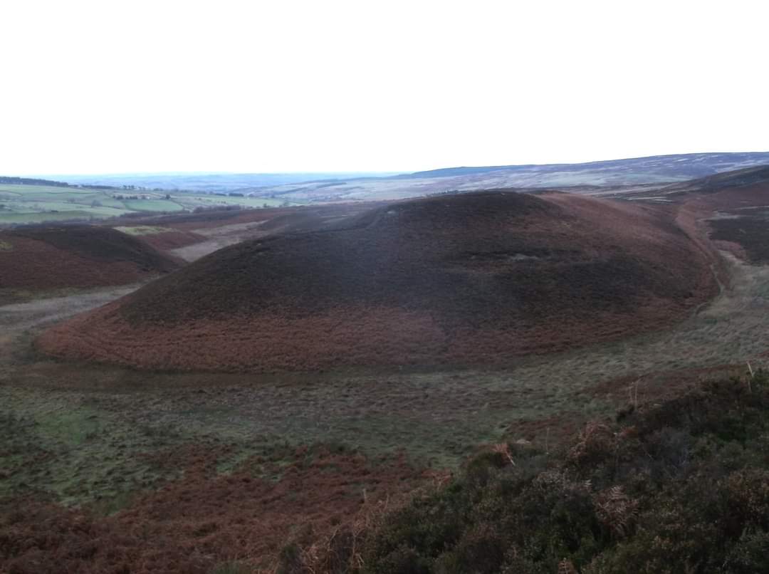
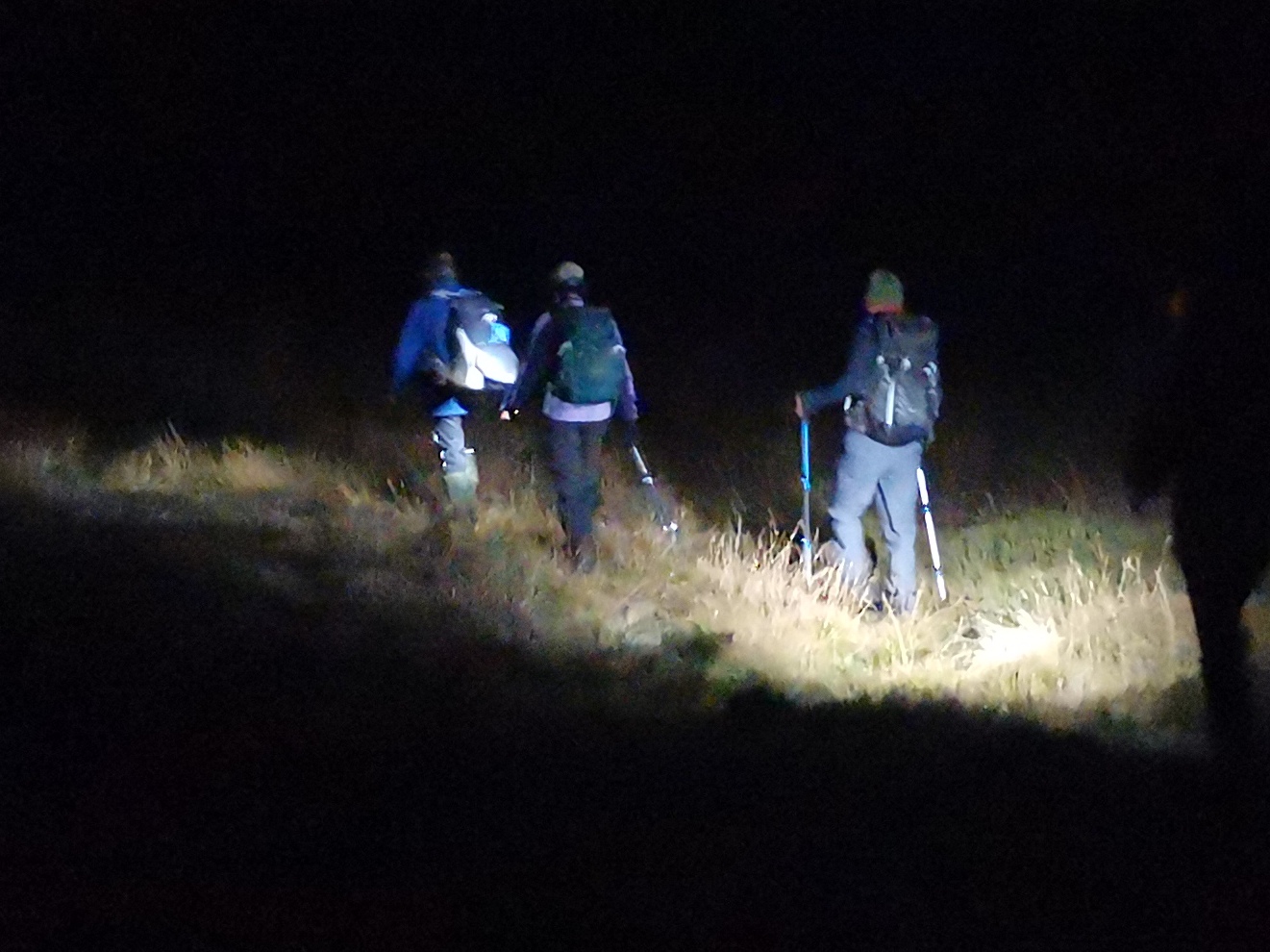
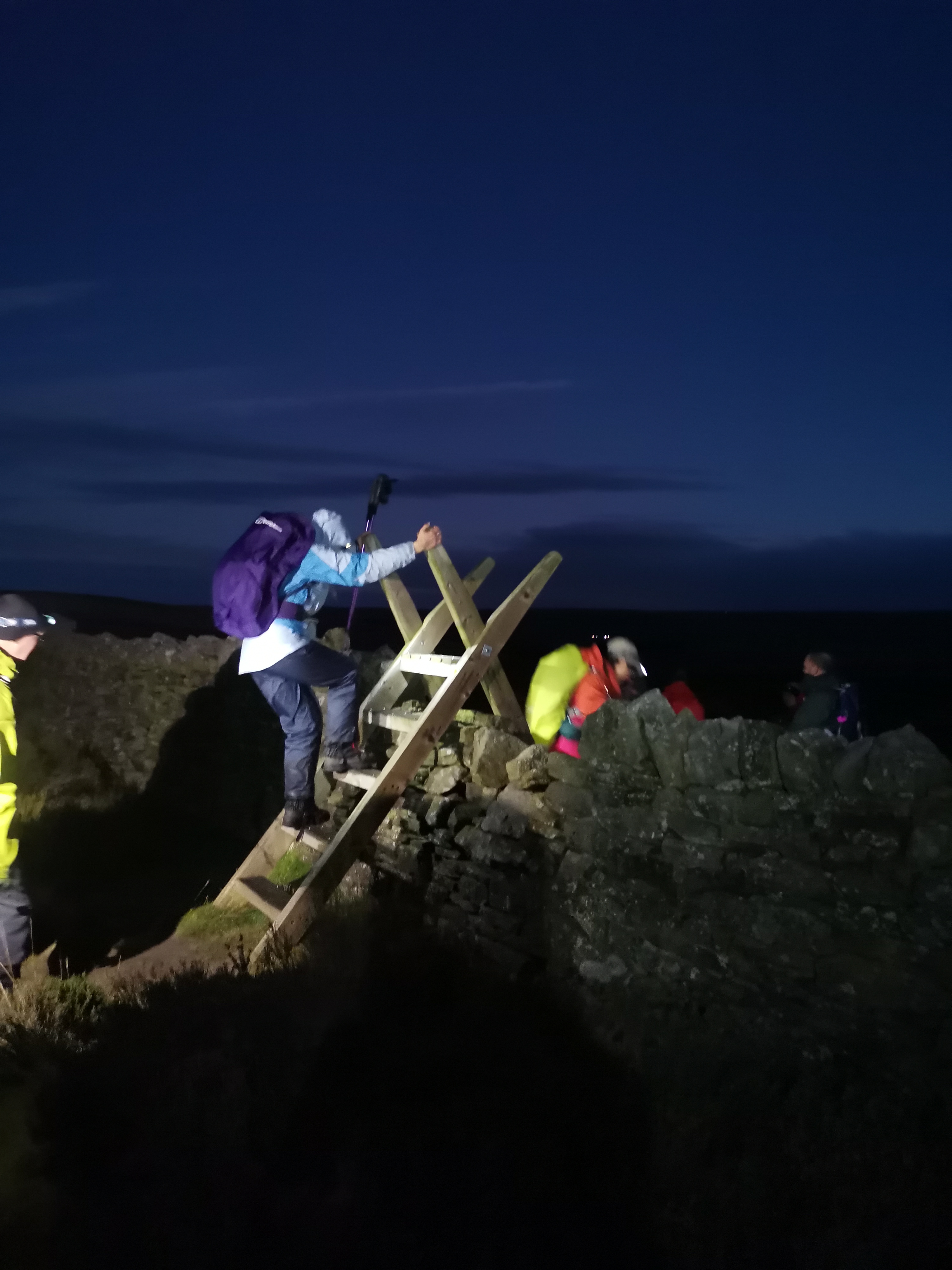
Circular walk from Blanchland, the village of the white monks, exploring Hexhamshire Common. Usual walking pace of 2.5 mph including stops, so we will be finishing in the dark so please bring torches. Some of our members have requested nightime walks, so we will be walking in the dark nights here. Dogs welcome on leads. Drinks afterwards in the Lord Crewe Arms
Entry Details:
Walk Report
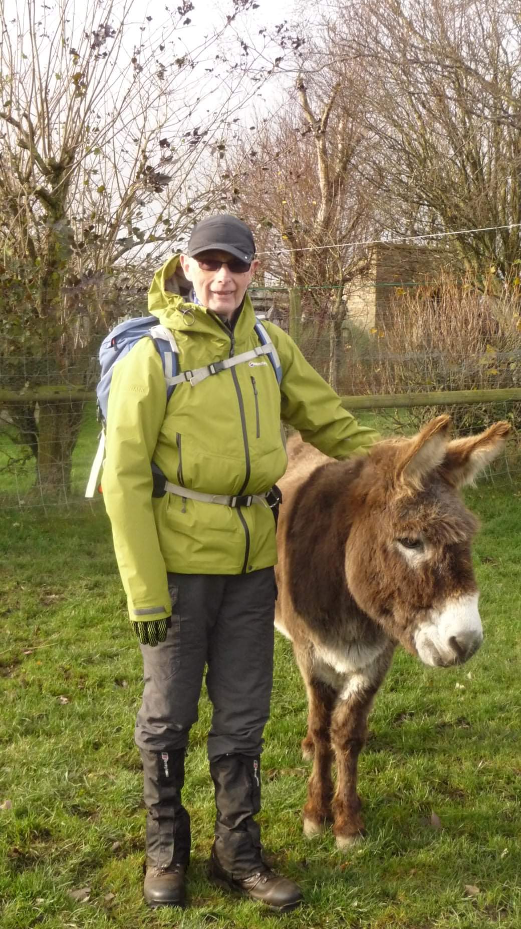
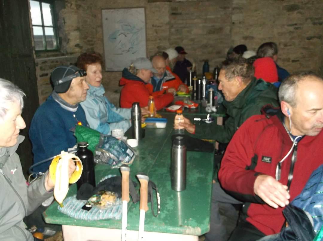
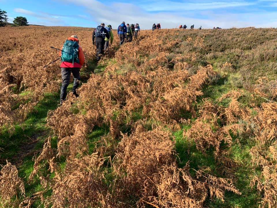
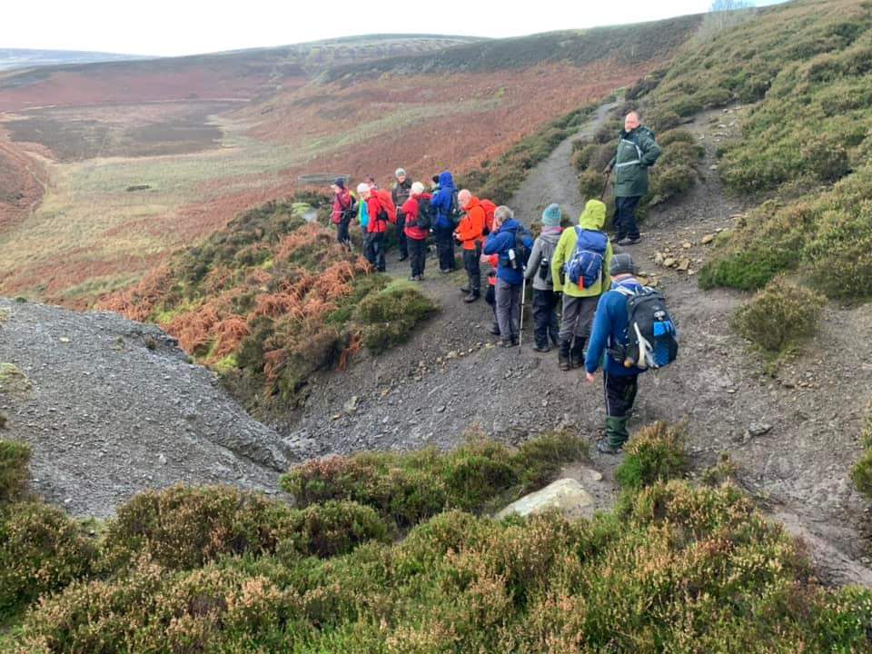
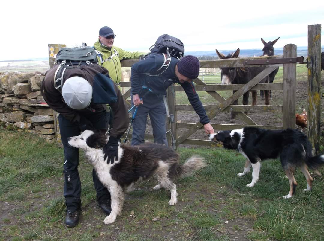
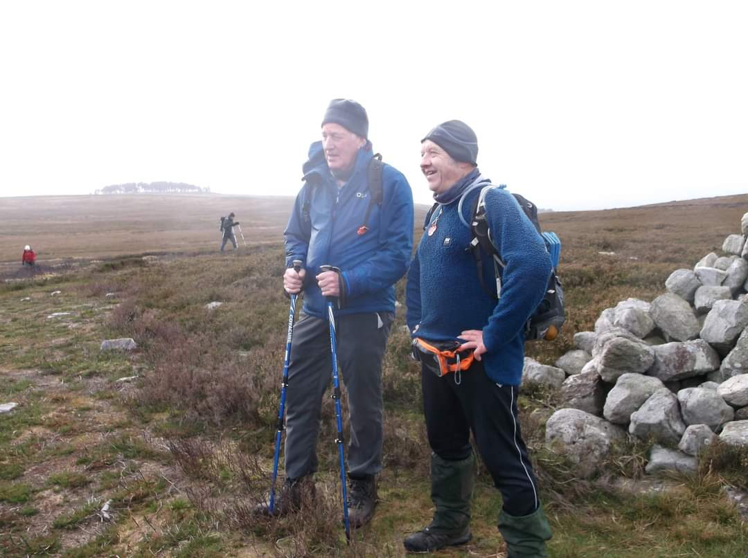
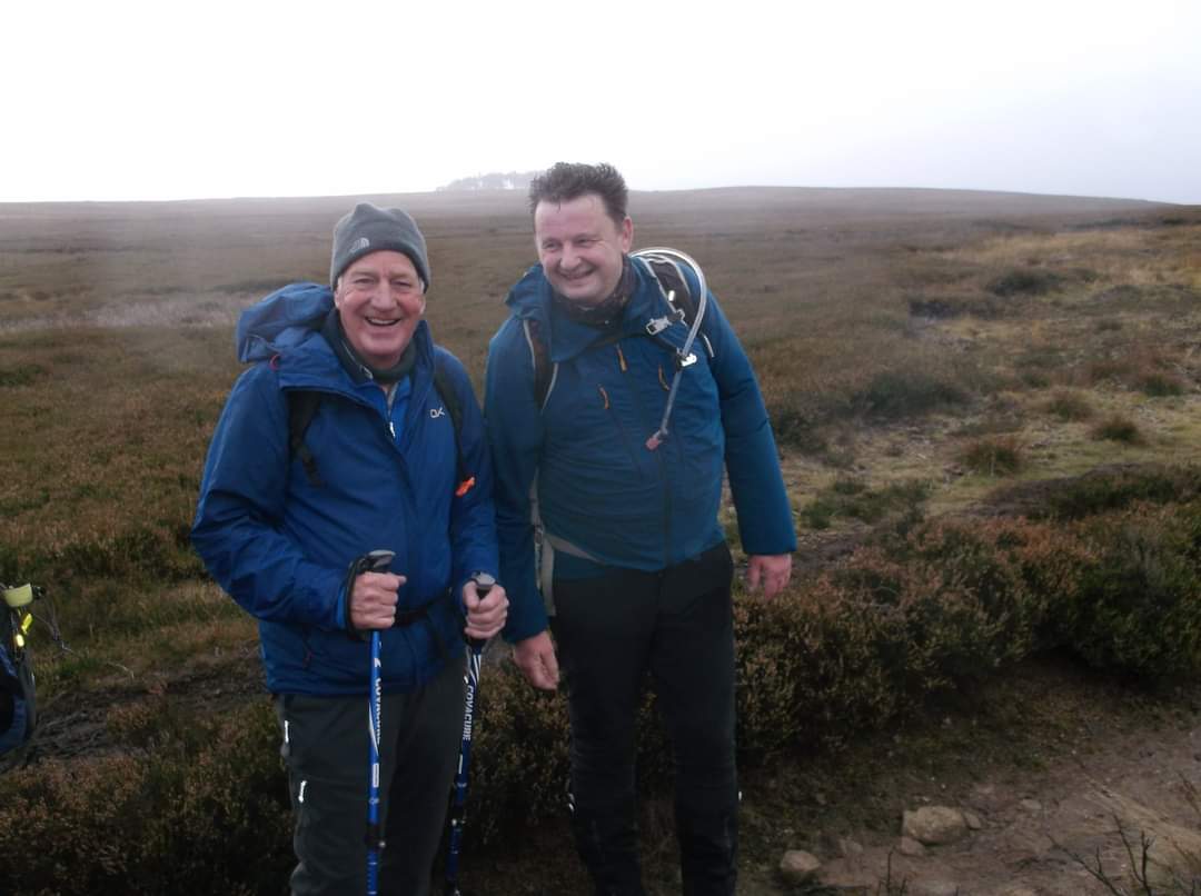
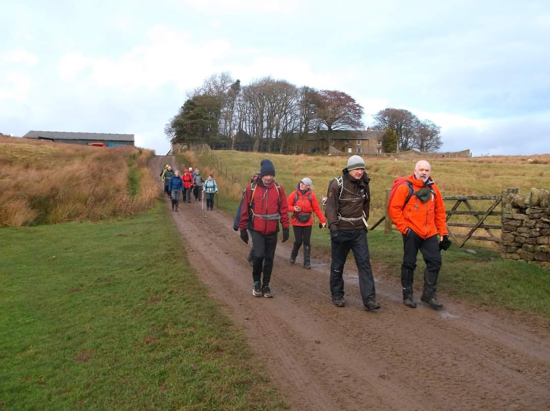
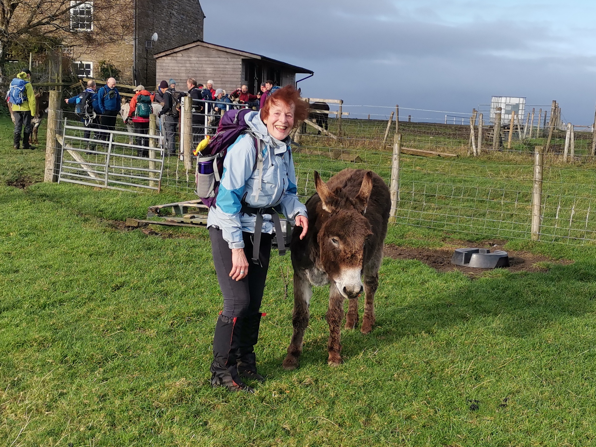
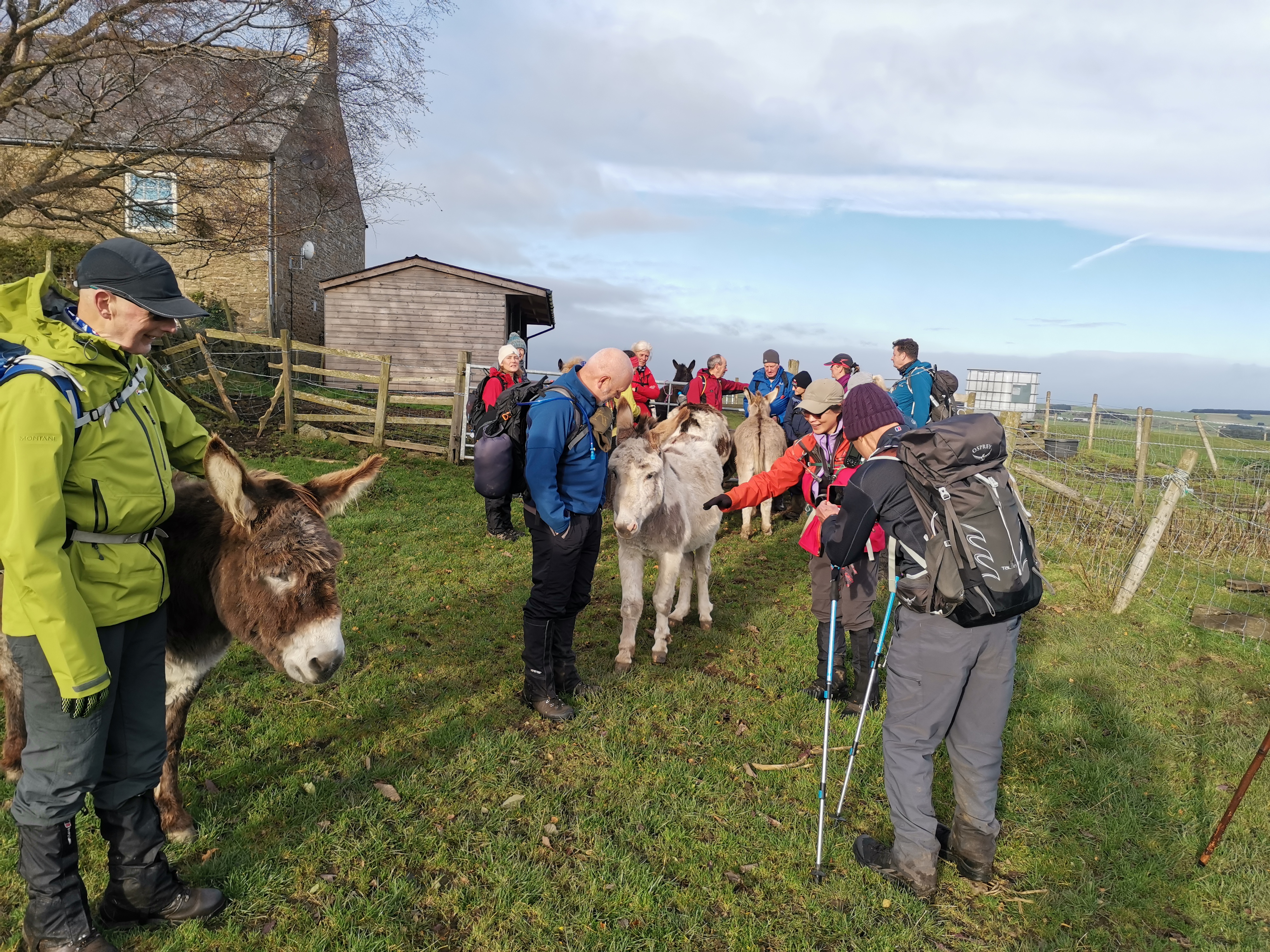
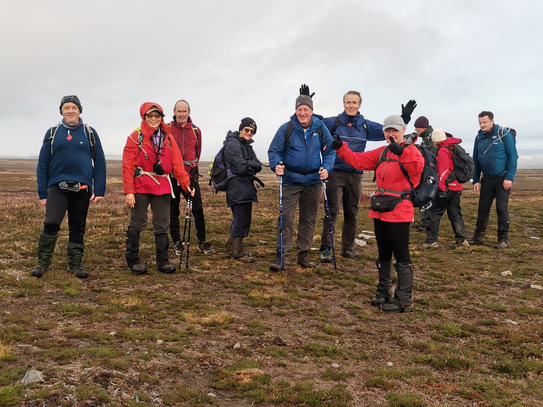
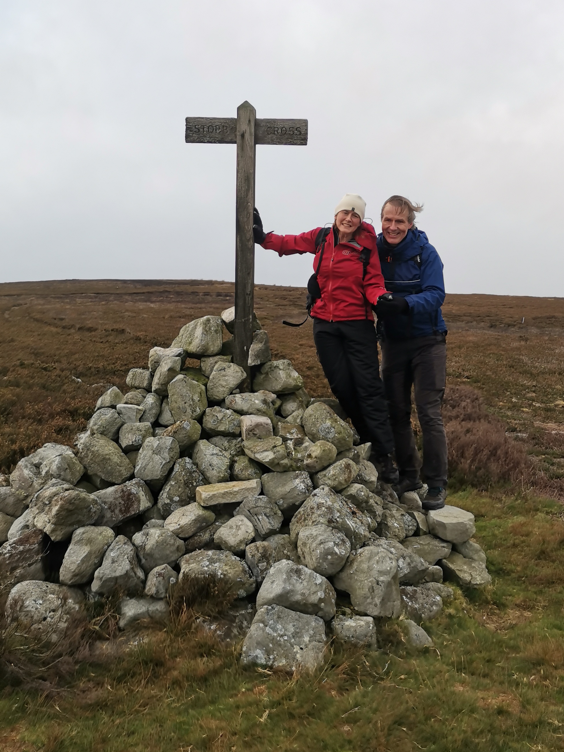
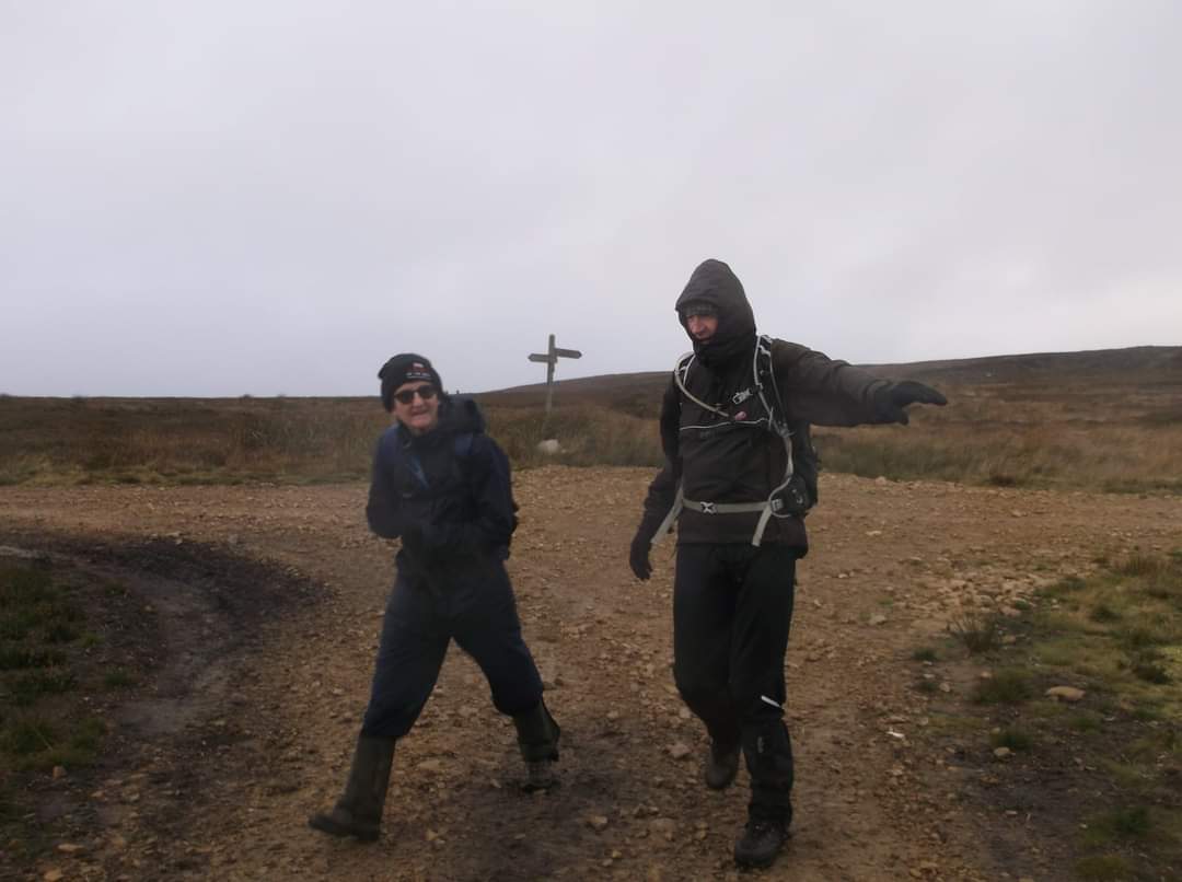
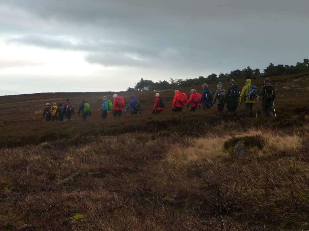
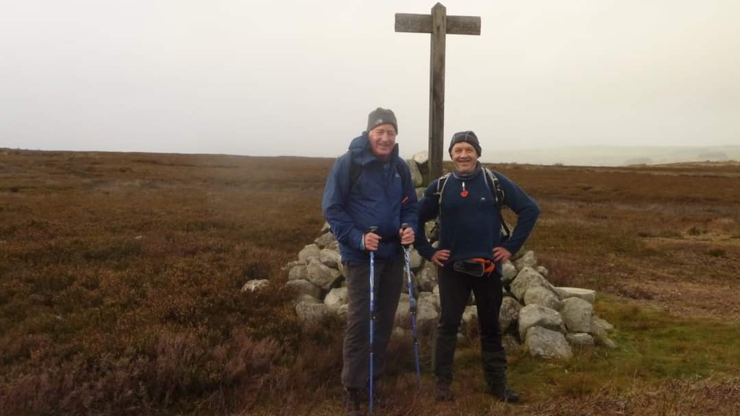
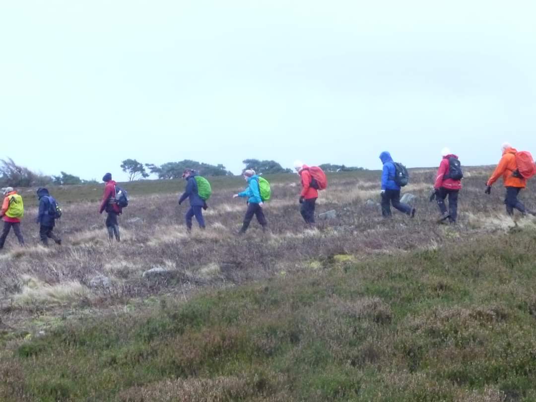
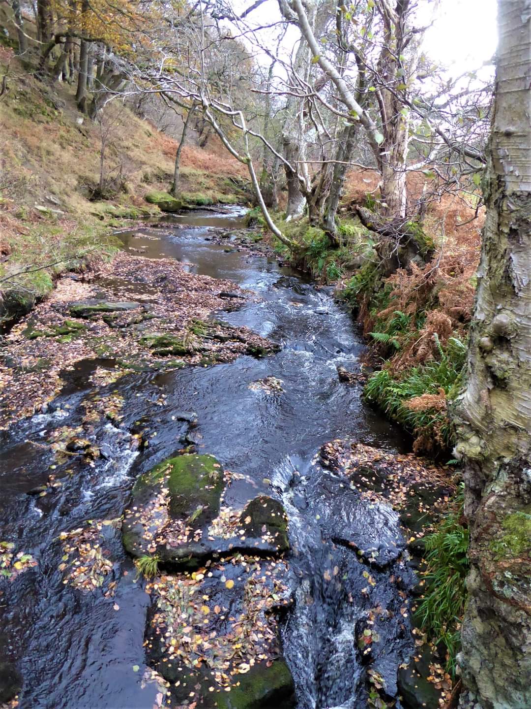
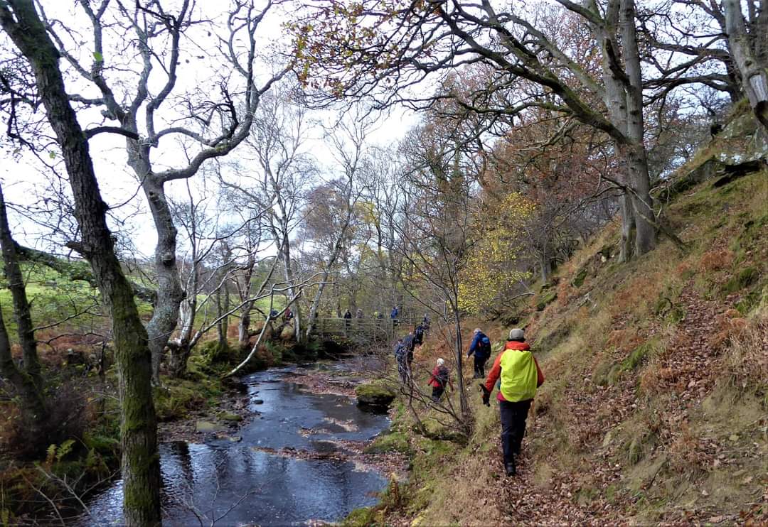
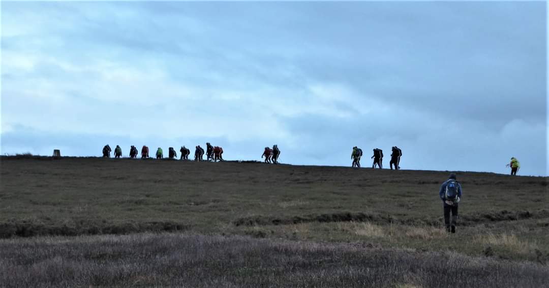
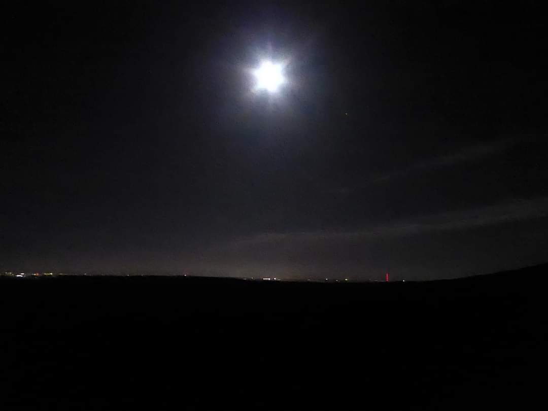
Leader-Paul Ashman and Paul Nellist. 21 miles in the end. Quite windy on the tops with the occasional bit of light rain. Had intended to go to White Hall farm (NY 915546) but a broken and dangerous wall stile prevented us from doing so. Wall stile reported to Ramblers. We crossed Devil's Water by a good footbridge at NY 925542, but there is a river crossing on the map further downstream at NY 924547, which then leads into a different path into White Hall farm, but didn't investigate whether this was a bridge, ford or a waist high wade on the recce, so not able to chance on the actual walk. The open, spacious and clean Shooters huts, at Ladle Well (NY 877526) and Blackburn Head (NY 509933) meant that we could have a couple of our stops out of the wind and the wet, which is a real advantage of walking in this area. Deliberately planned this walk so that the last few miles would be in the dark, so we all got a chance to walk by torchlight. 20 walkers.Other Files
GPX
A GPX file of the above route may be downloaded by clicking the link below.
Note: GPX files of Group Walks are created by LDWA Group members, and may be downloaded only by other LDWA members. They should not be made available outside the LDWA, and are used at members' own risk.
Login to Download (Members Only)You can use the interactive controls to zoom in and out and to move around the map, or click on a path or a marker for more info. (interactive map help)
You can use the interactive controls to zoom in and out and to move around the map, or click on a path or a marker for more info. (interactive map help)
© OpenStreetMap contributors under Open Database Licence
Rights of way data from selected Local Authorities
Large scale digital mapping is provided by John Thorn
At high zoom levels the route is indicative only.
Gallery
Maps:
You can use the interactive controls to zoom in and out and to move around the map, or click on a marker for more info. (interactive map help)
© OpenStreetMap contributors under Open Database Licence.
Rights of way data from selected Local Authorities.
Large scale digital mapping is provided by John Thorn.


