


Guildford to Godalming
Sun 14th Aug 2011
Walk Details:
Event Type
Group Walk
Region
Southern England
Local Group
London
Distance
20+ml.
Start Time
09.04
Route
Guildford stn
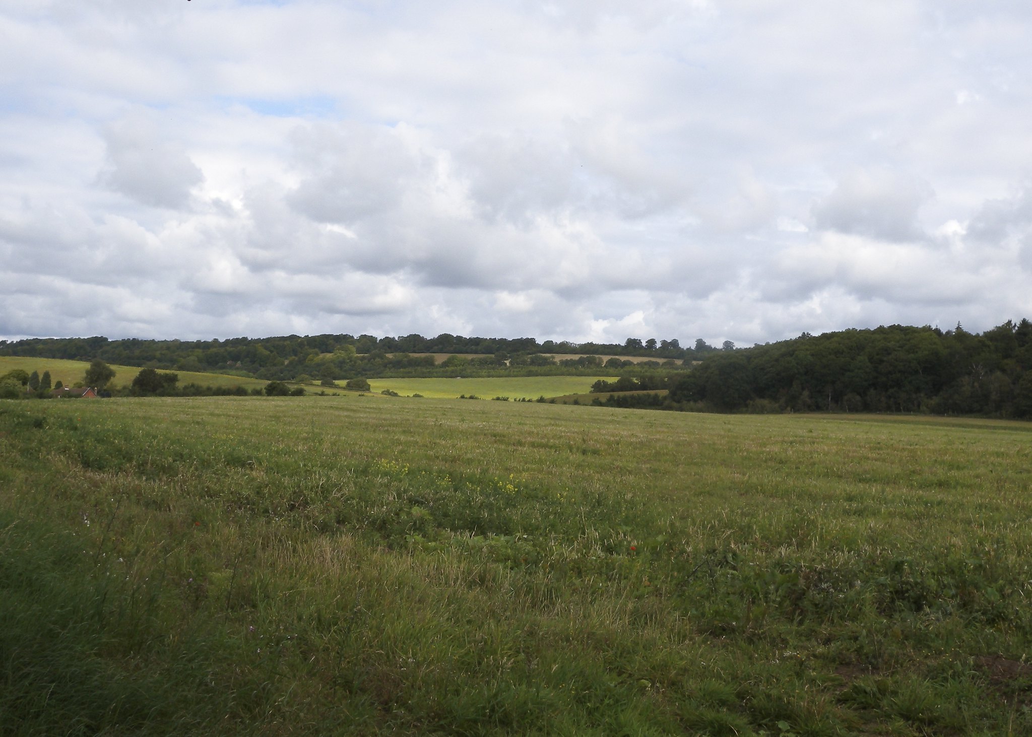
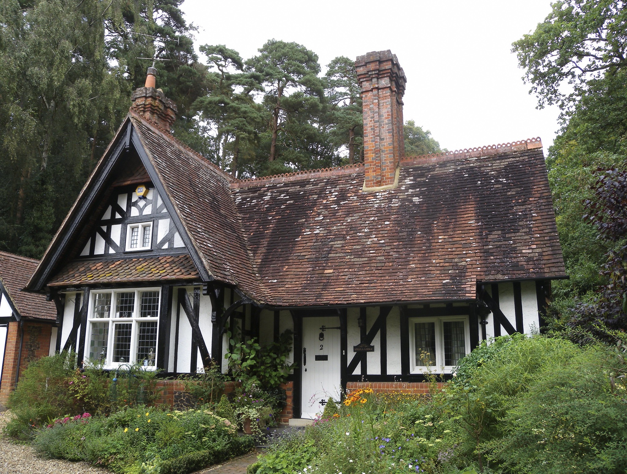
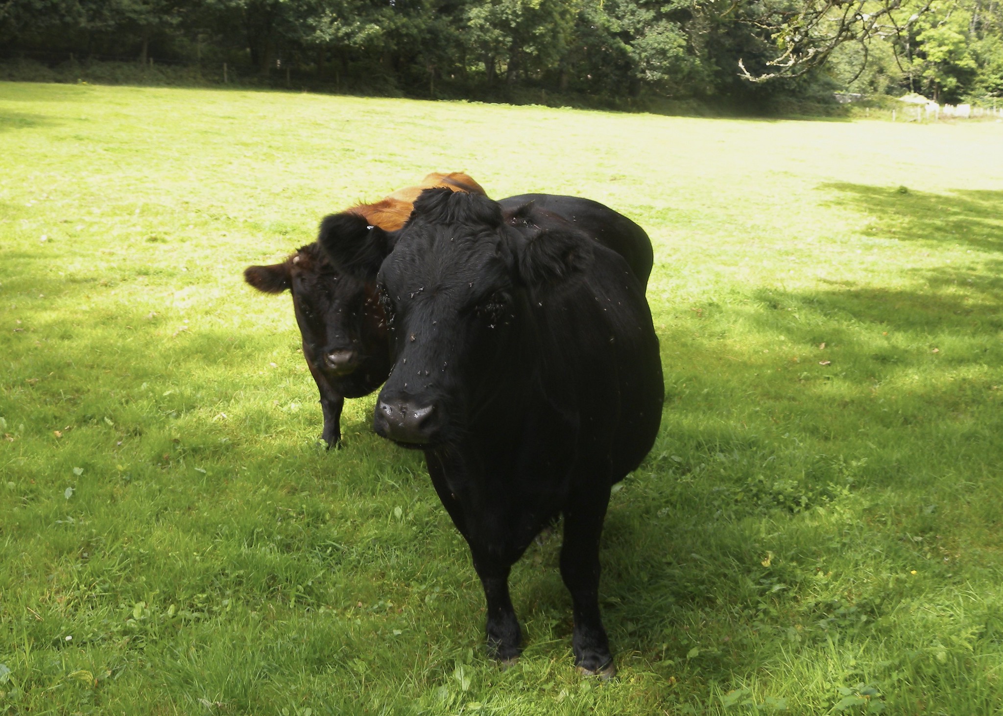
A stroll through the Surrey countryside following the NDW to Puttenham then across the Surrey Heathlands to Farnham (lunch). After lunch leave Farnham by the River Wey & through some spectacular countryside to finish along the Wey into Godalming. (Well that's the plan but please bring your sense of humour as going on past experience anything could happen !!)
General Notes
Car drivers can park at Godalming station (free on Sundays) & take the 8.56 train arr. Guildford 9.04.
Non-car drivers need to catch the 8.00 from Waterloo arr. Guildford 8.43
Web Site
Start and Finish
Entry Details:
Cost
Walk Report
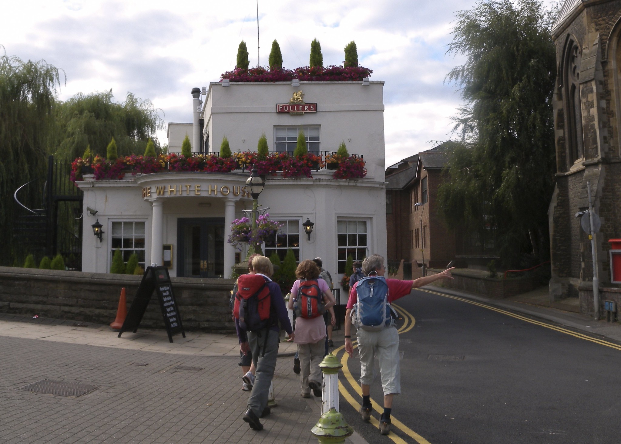
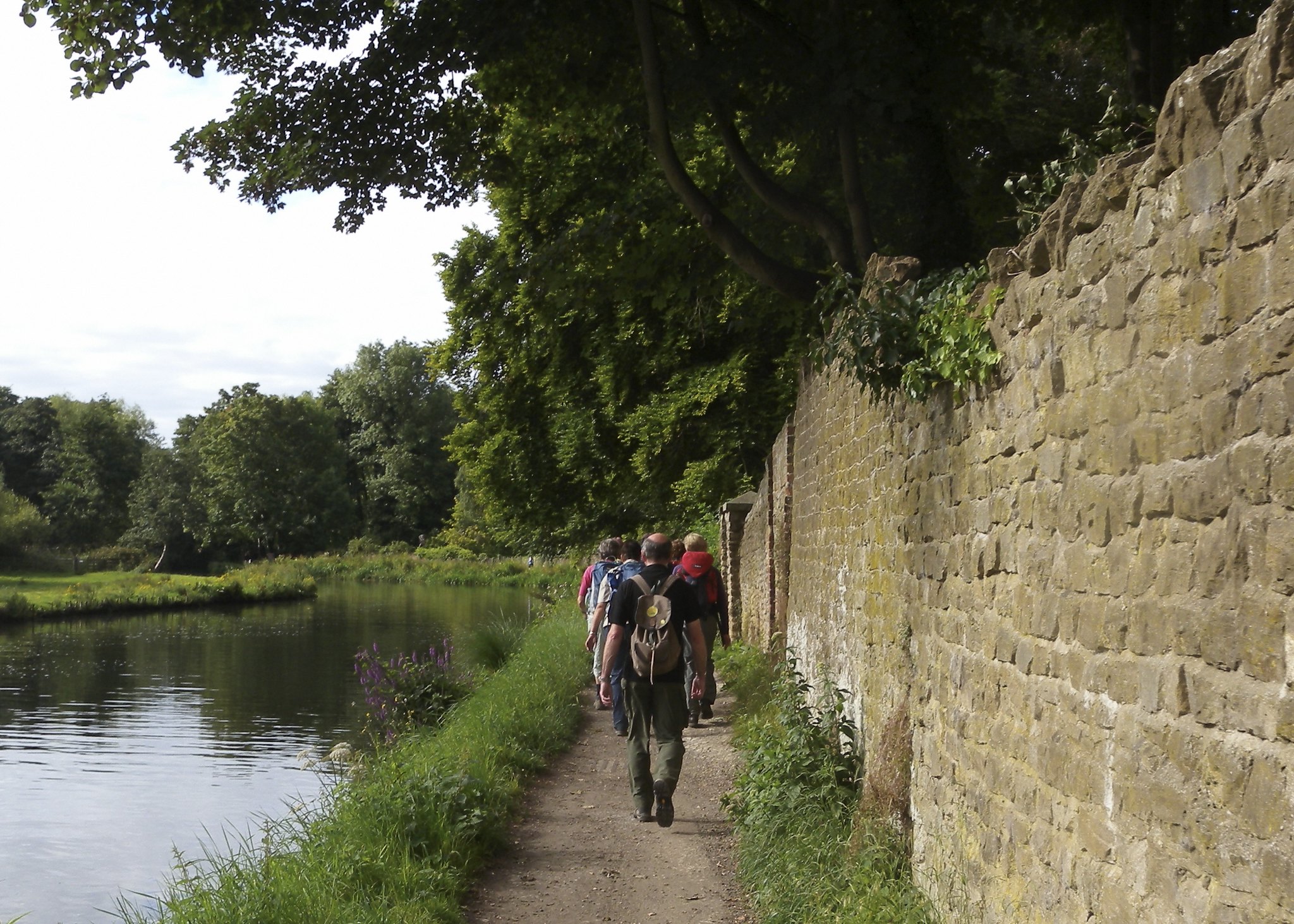
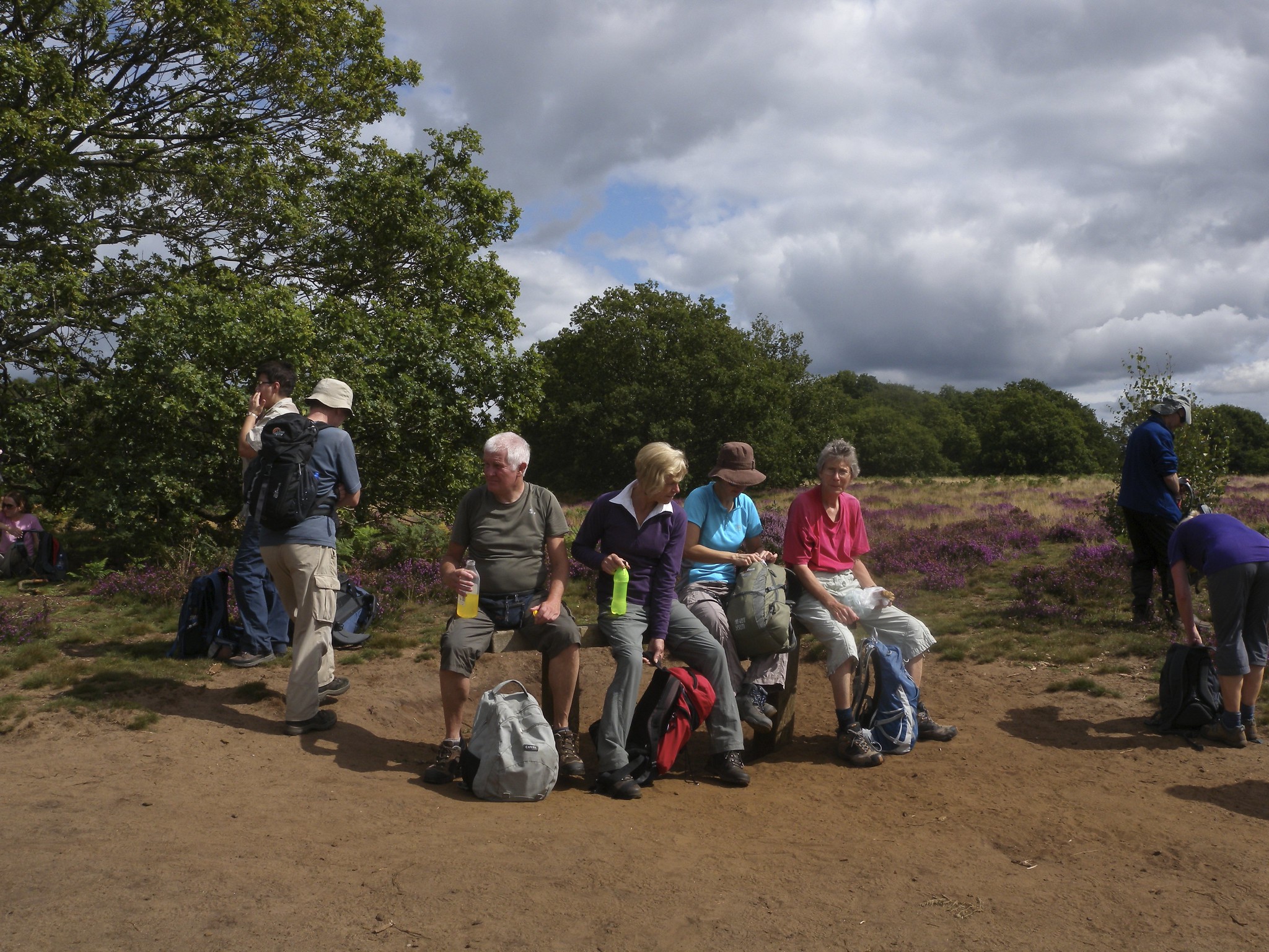
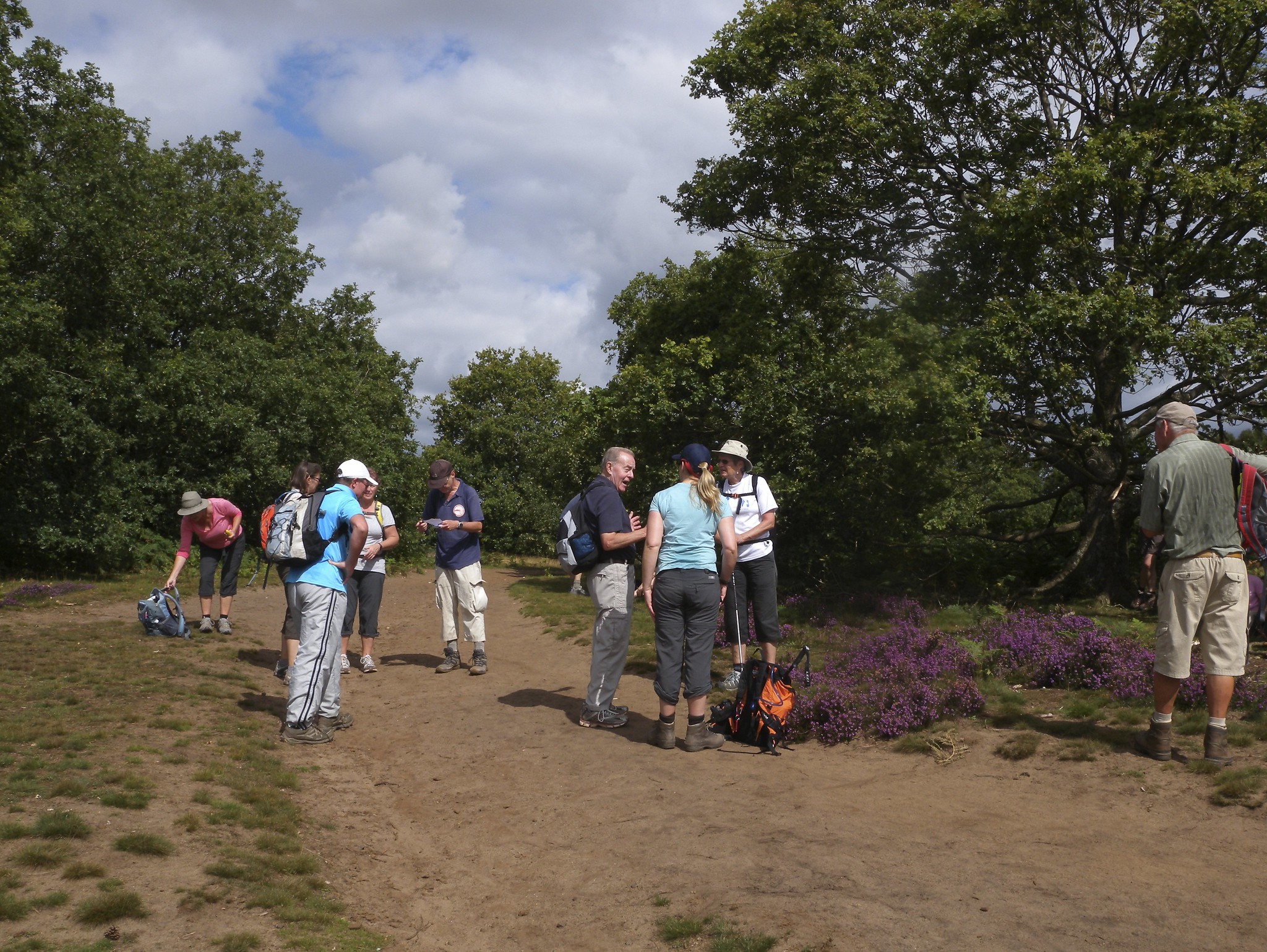
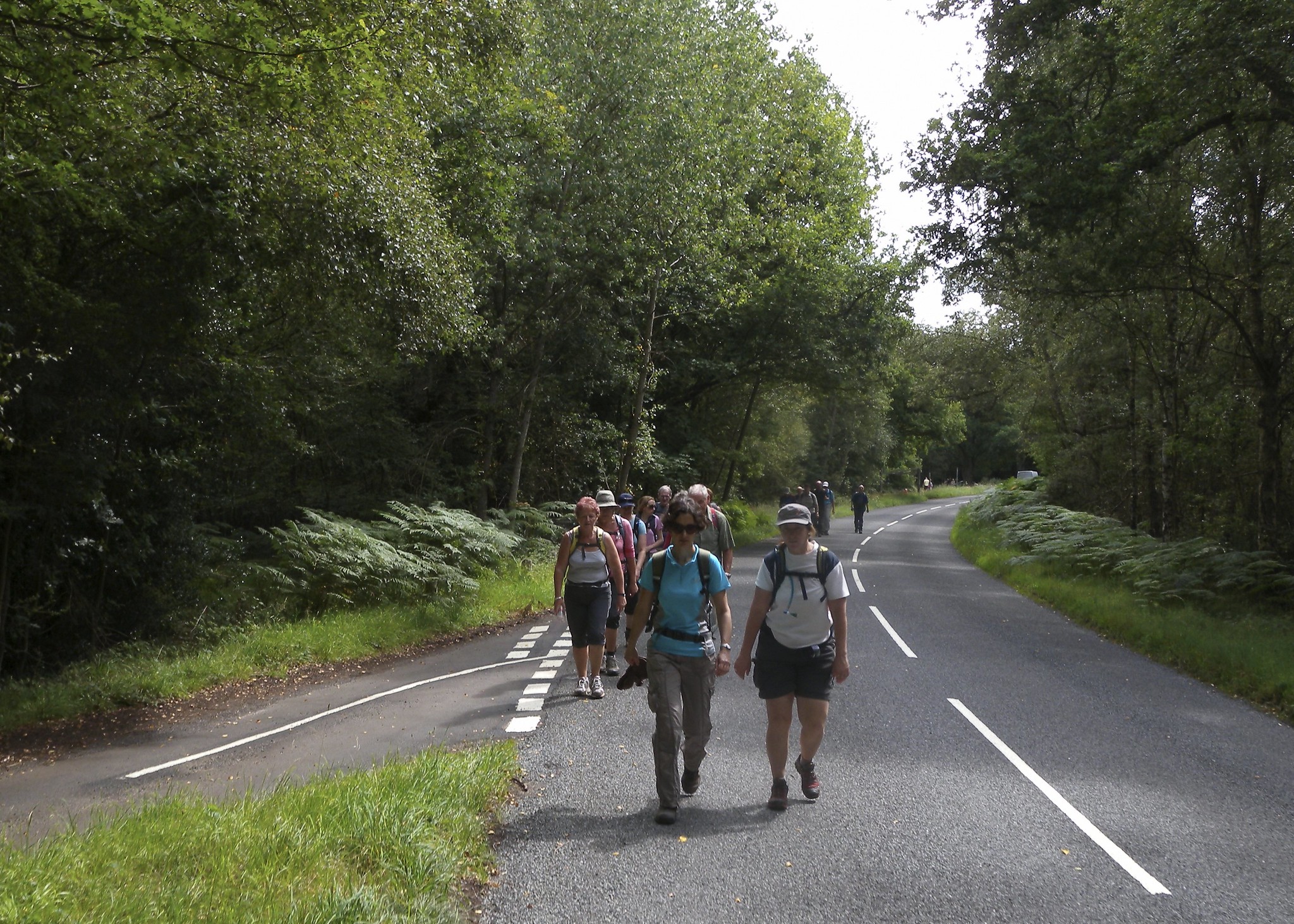
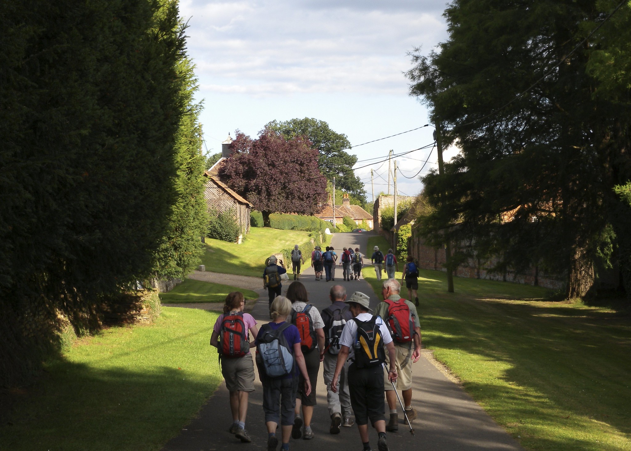
Guildford to Godalming, Sunday 14th August 201124 walkers, 26.5 miles - leader Dave Williams
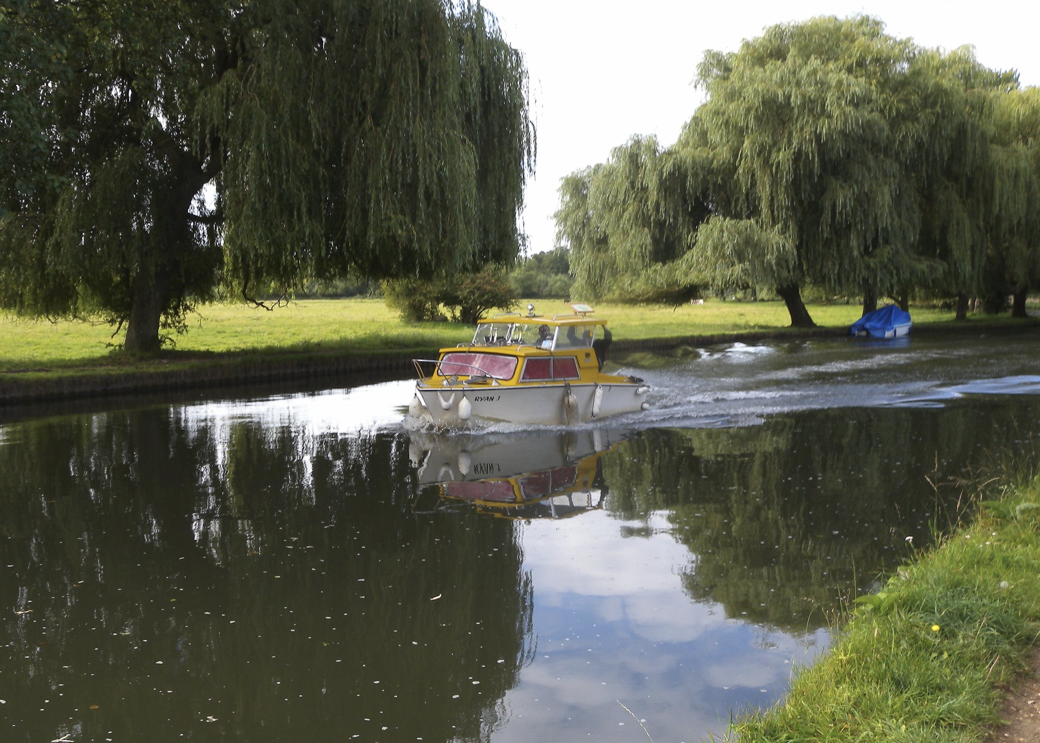
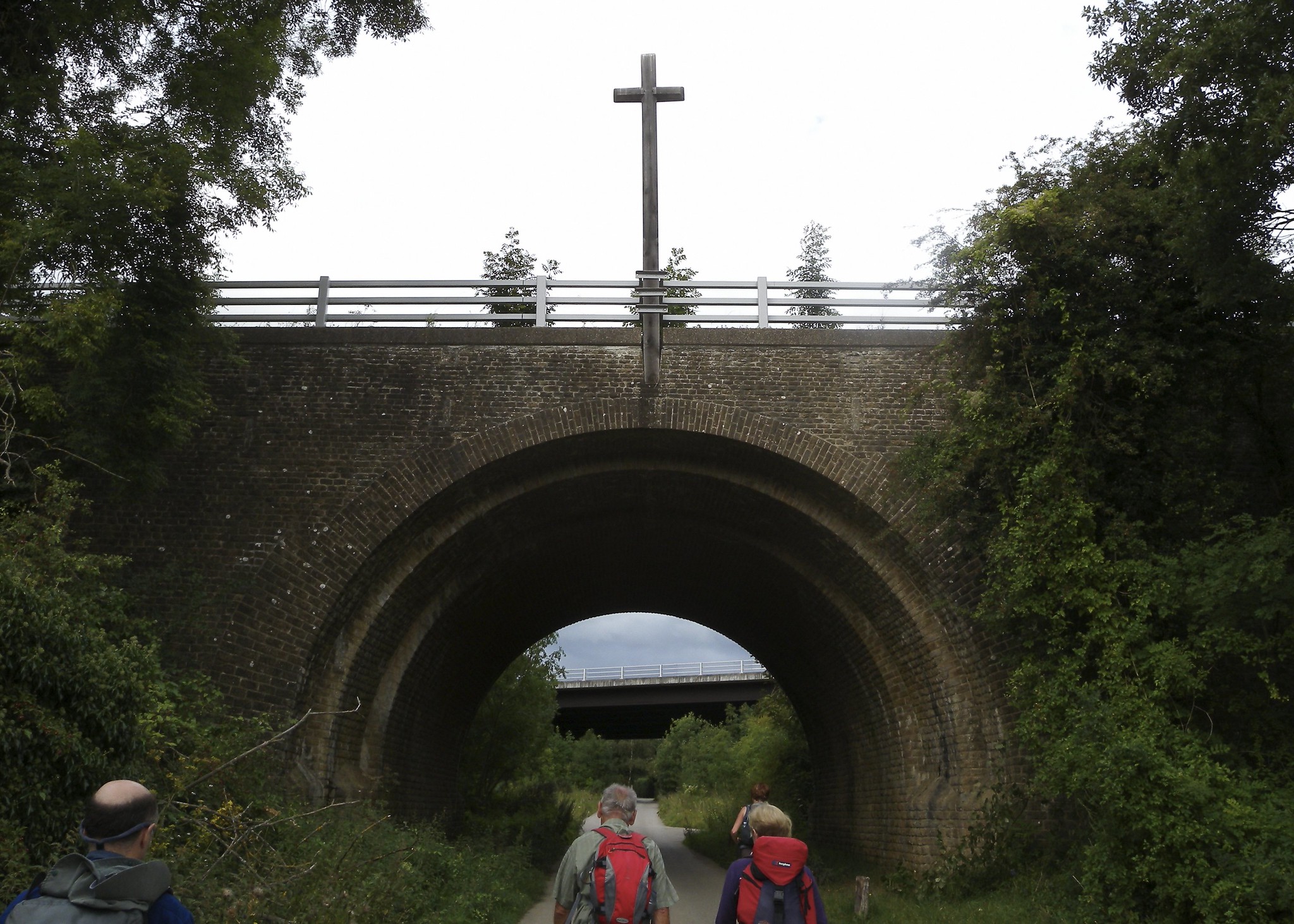
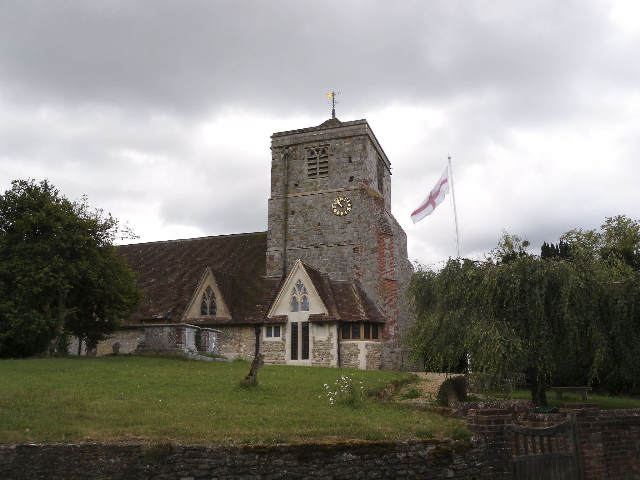
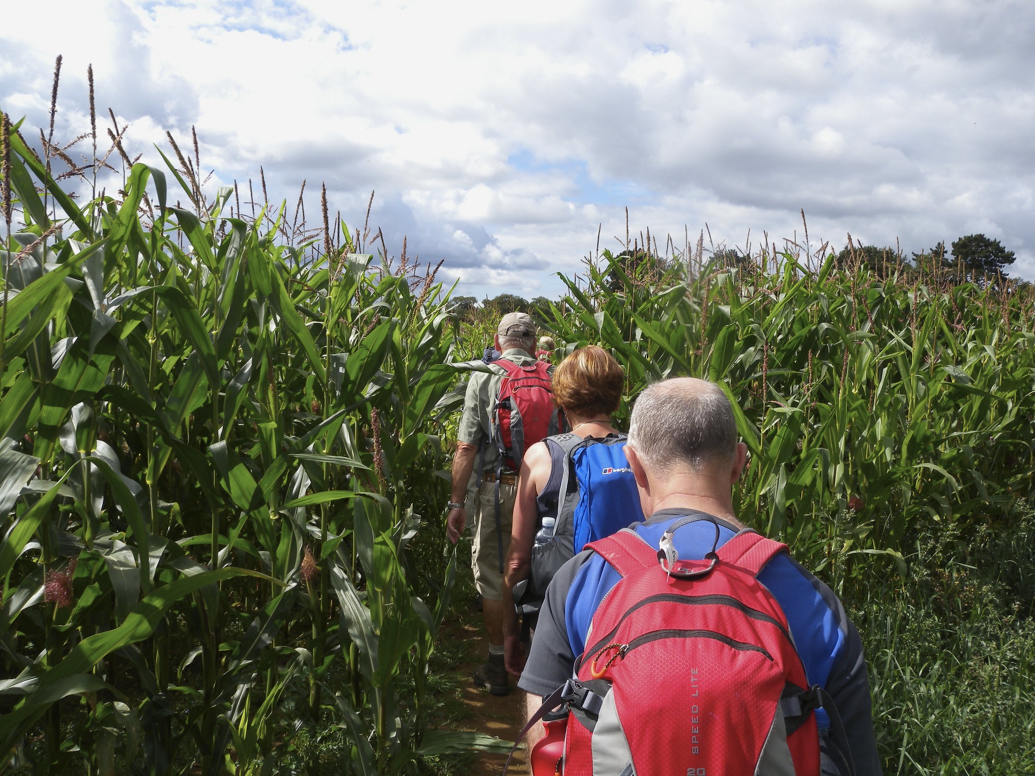
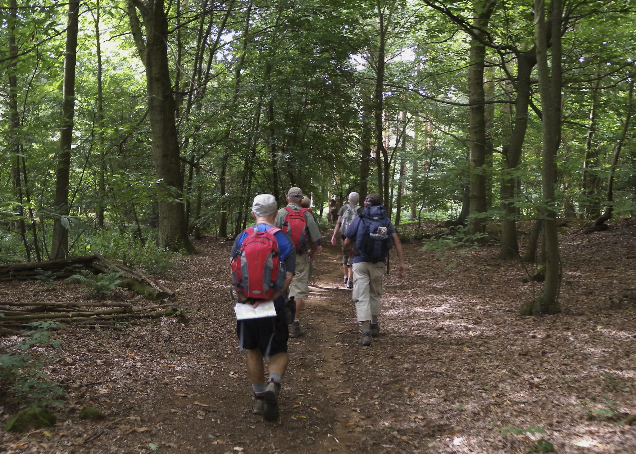
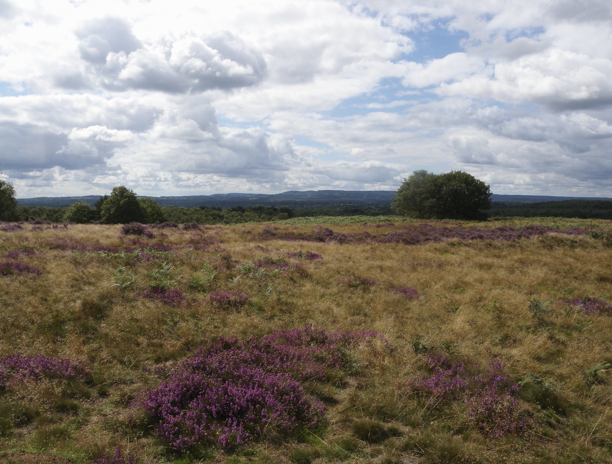
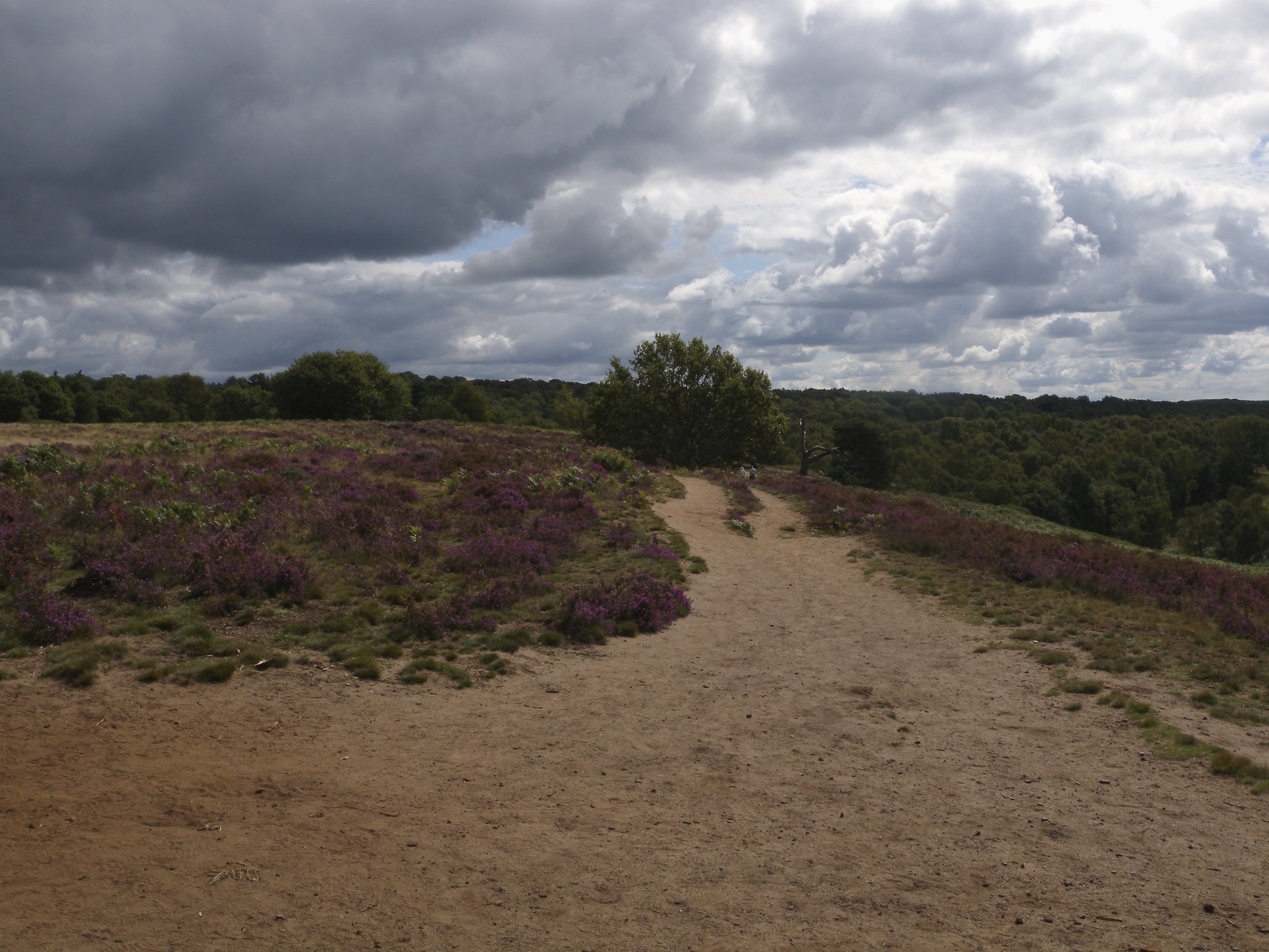
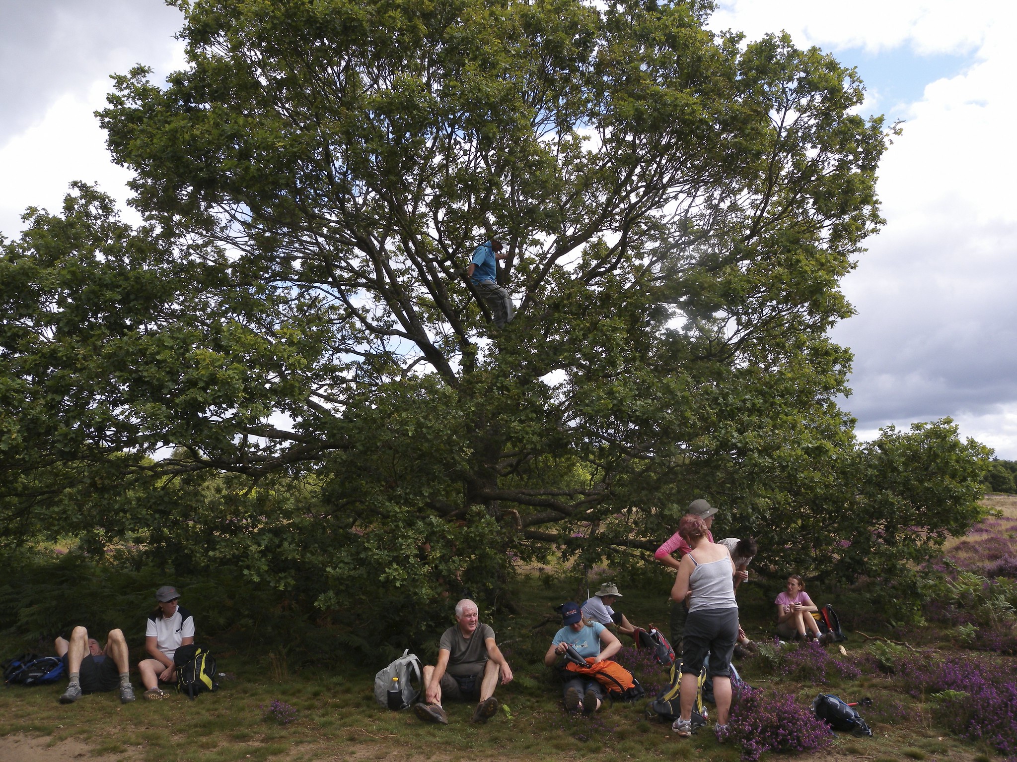
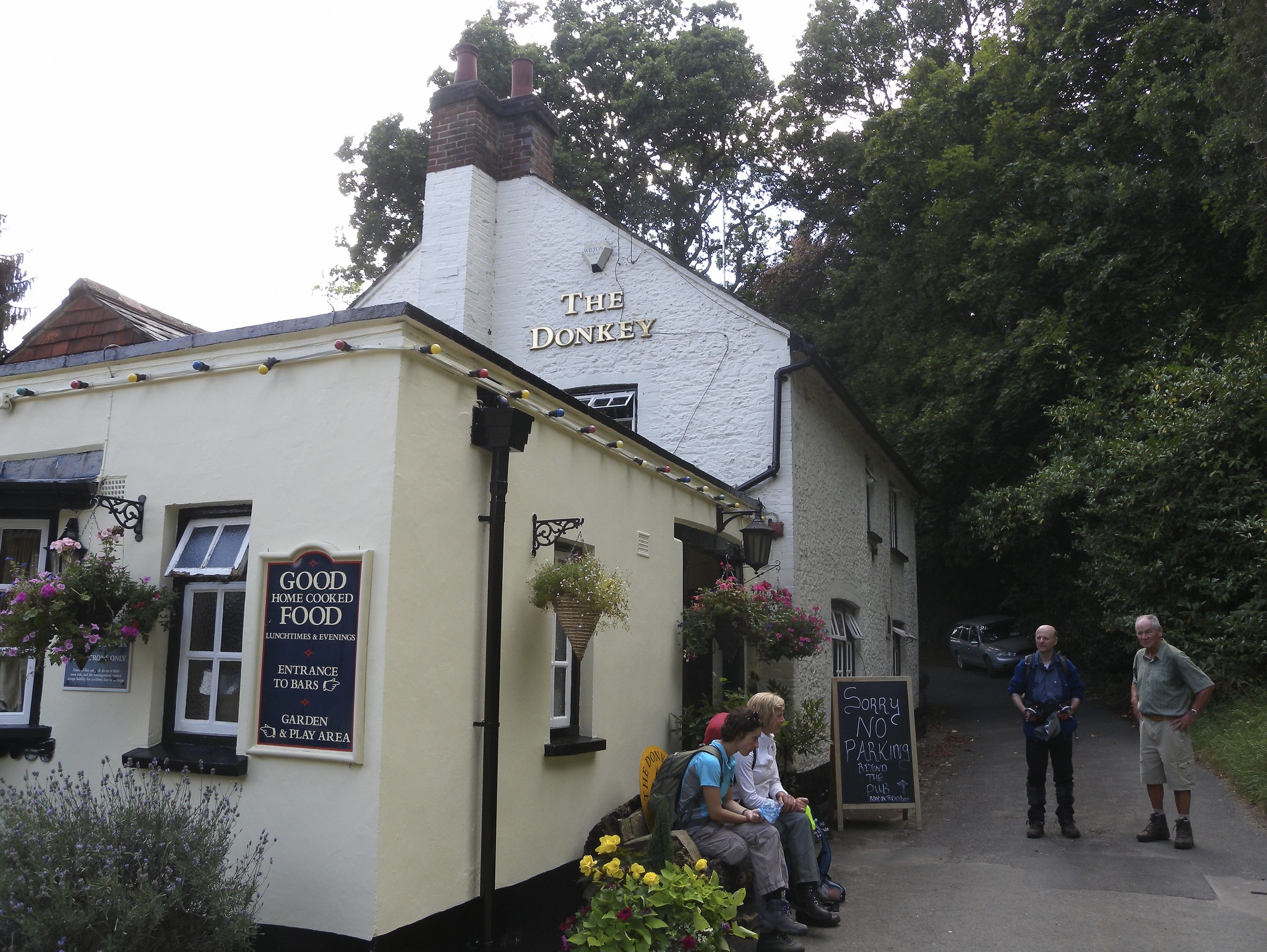
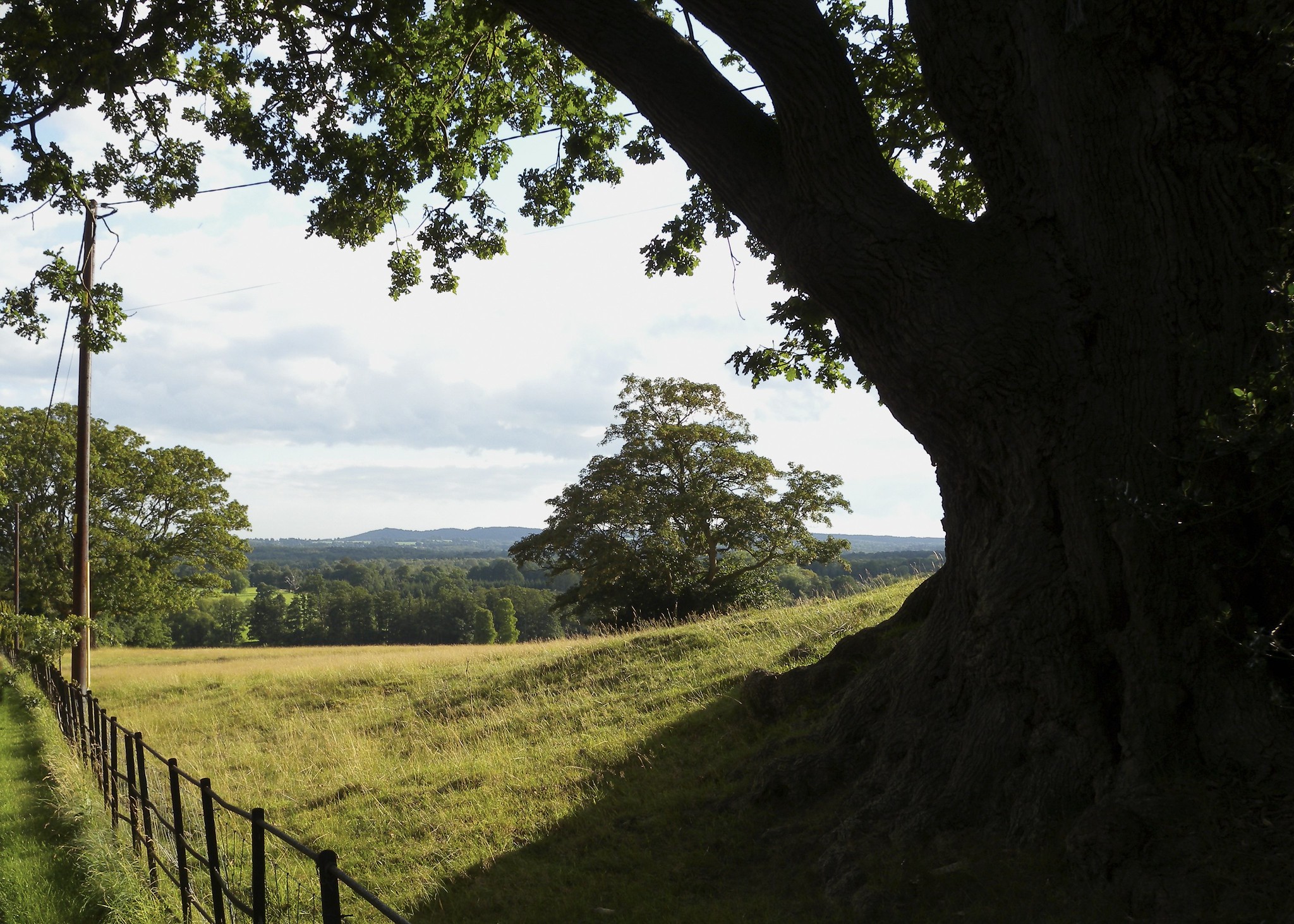
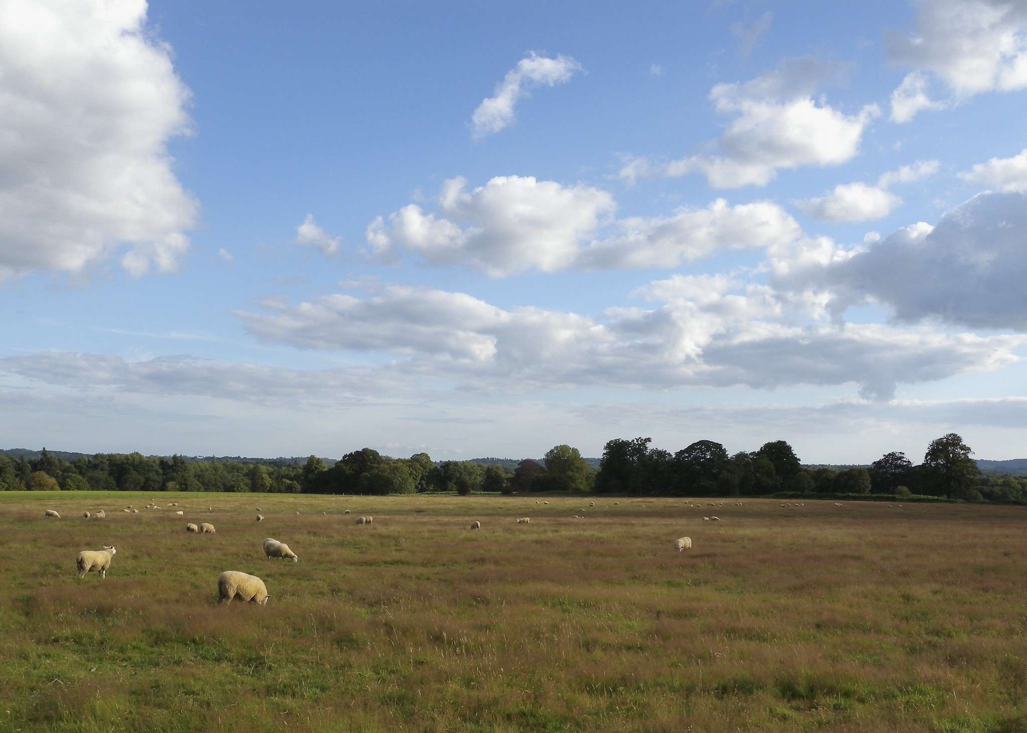
24 turned up for my 20+ mile stroll; they were advised to bring their sense of humour and they certainly needed it! On a near-perfect day for walking the only highlight of the morning was the short break on top of Puttenham Common offering extensive views across to Haslemere and beyond. With nothing further to report we reached Farnham, our lunch stop where some adjourned to the pub, others to the fish & chip shop & the remainder to partake of their packed lunch by the river. We departed after lunch with the promise of an ice-cream stop at Tilford, however to the leader's consternation the ice-cream van was nowhere to be seen! However when all seemed lost we managed to take advantage of one at The Donkey at Charleshill. With spirits restored the race was now on to reach Godalming in order to catch the 18.56 train & a brisk pace ensured we reached our objective in good time having covered some 26.5 miles!
A special mention must go to Judith who volunteered her services for the back-marker job and in spite of severe provocation stuck manfully to her task with great stoicism to the bitter end!
Photographs by David Clewley
Other Files
Download Walk ReportGallery


Maps:
You can use the interactive controls to zoom in and out and to move around the map, or click on a marker for more info. (interactive map help)
Contains Ordnance Survey data © Crown copyright and database right 2016.
© OpenStreetMap contributors under Open Database Licence.
Rights of way data from selected Local Authorities.
Large scale digital mapping is provided by John Thorn.
© OpenStreetMap contributors under Open Database Licence.
Rights of way data from selected Local Authorities.
Large scale digital mapping is provided by John Thorn.


