


Essex Way
Sat 7th May 2011
Walk Details:
Event Type
Group Walk
Region
Southern England
Local Group
London
Distance
22ml.
Start Time
9.00
Route
Manningtree stn
Depart Liverpool St stn 8.00. A walk along a stretch of the Essex Way to Harwich mainly following the Stour Estuary. Additional loop after lunch to visit Little and Great Oakley. Pub lunch Ramsey Castle. Buy returns to Harwich. Ldr Rob Myers
Web Site
Start and Finish
Entry Details:
Cost
Walk Report
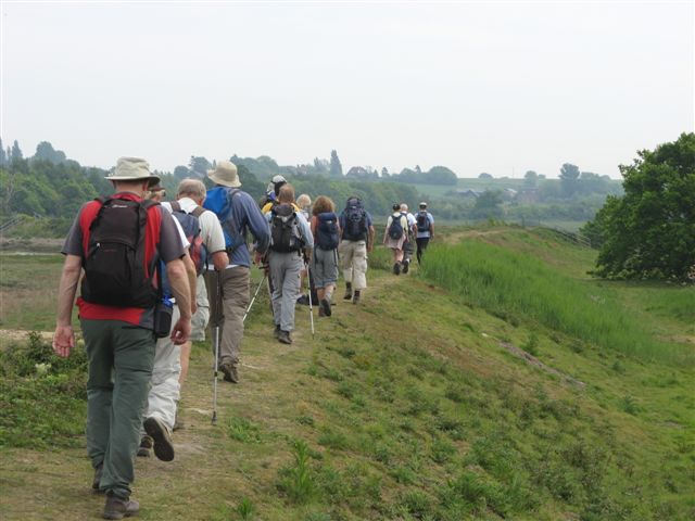
Essex Way, Saturday 7th May 201115 walkers, 20 miles - leader Rob Myers
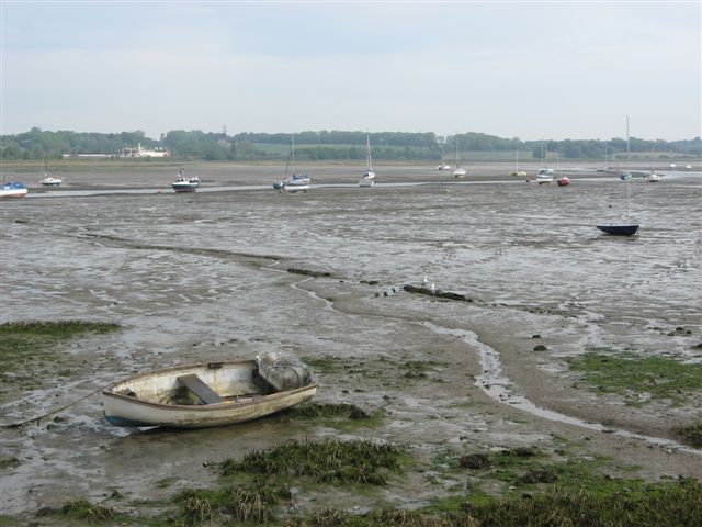
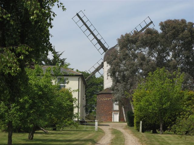
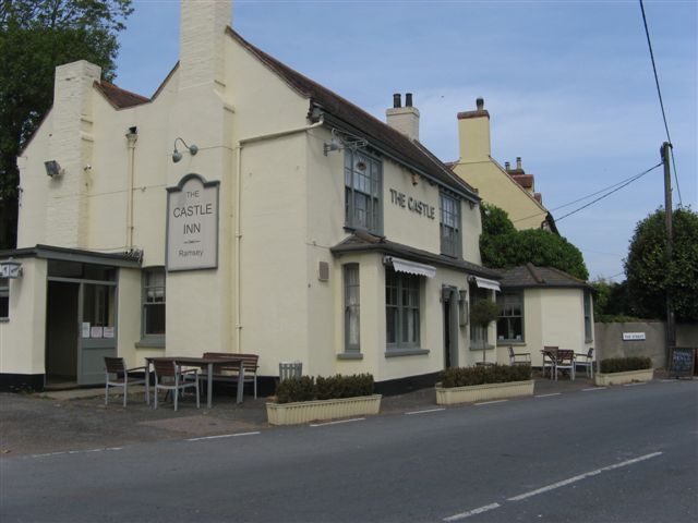
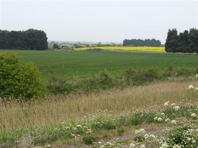
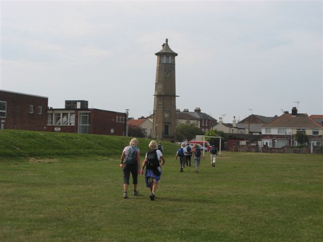
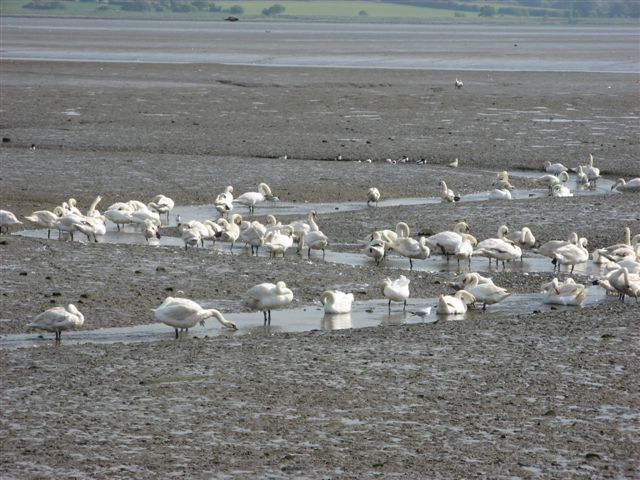
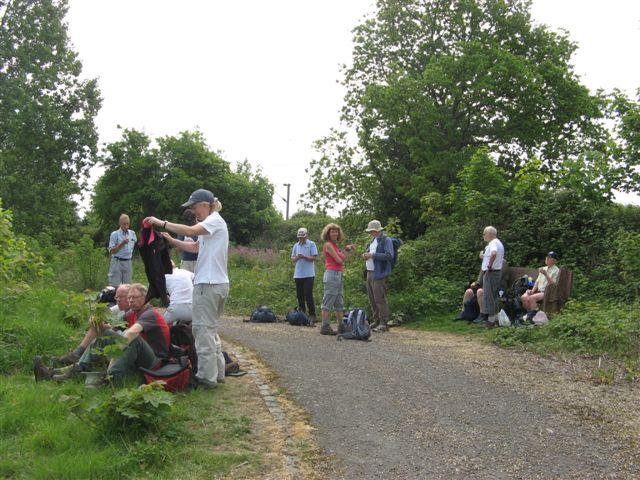
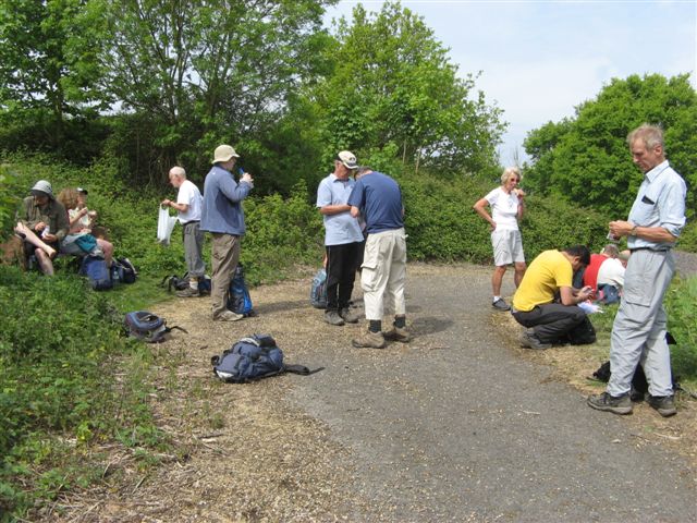
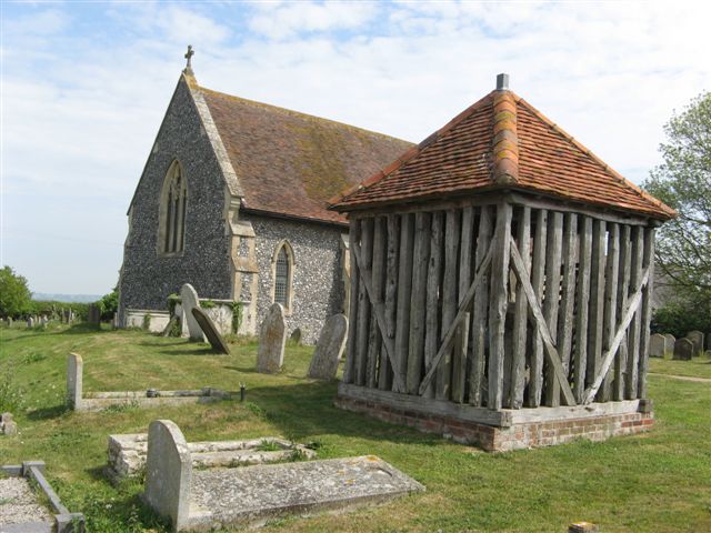
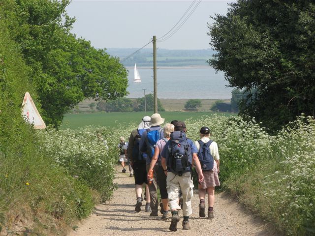
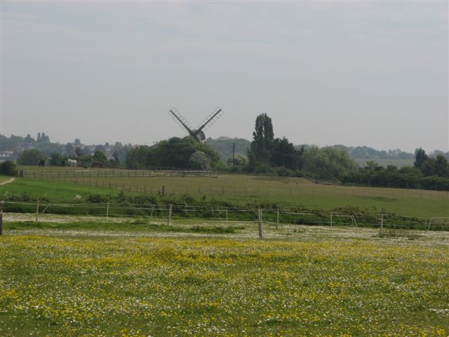
After two dry months there was heavy overnight rain and it was a great relief that it had stopped by the time the walk started and weatherwise it turned out to be a very pleasant day. 15 of us gathered at Manningtree station including 4 locals. From the station we climbed up to Lawford Church to join the Essex Way. We passed through the town of Manningtree and walked along Mistley Walls NNR to see the boats and mute swans on one of the more beautiful places on the Stour Estuary. From there we passed through the pretty villages of Mistley and Bradfield to rejoin the Stour, where we walked along the shoreline to reach Wrabness NR. I didn't think that the Essex Way did justice to the NR so I added a diversion up to the top of the reserve where we had a drinks break whilst enjoying views of the old Royal Naval School across the Stour on the Shotley Peninsula. From the drinks stop we passed by a green burial ground before arriving at All Saints Church. The church built in 1100 is famous for the fact that the bell tower collapsed in the 1700s and the bell was removed to a temporary outside cage where it has remained since. The group got spread out when members decided whether to buy any of the home-made jams left by the roadside. Passing through Stour Wood and Copperas Wood we arrived at Ramsay and got good views of the Ramsay Windmill. Lunch was at the Castle Inn. The Castle Inn is a very quiet village pub which was bizarrely the scene of a 12-hour police siege in 1979 when someone held the landlord hostage. The siege did not end happily as police had to shot dead the assailant. Anyway we all sat outside and enjoyed some good beer "Woodforde's Wherry" and some reasonably priced food. In the afternoon I added another "extension" to the Essex Way to include an additional 2 miles of sea wall around Hamford Water. After that Harwich gradually came in view. We passed the caravan site and the beach huts before reaching the lighthouses of historical Harwich where the walk and the Essex Way ended. A really enjoyable walk!
Other Files
Download Walk ReportGallery


Maps:
You can use the interactive controls to zoom in and out and to move around the map, or click on a marker for more info. (interactive map help)
Contains Ordnance Survey data © Crown copyright and database right 2016.
© OpenStreetMap contributors under Open Database Licence.
Rights of way data from selected Local Authorities.
Large scale digital mapping is provided by John Thorn.
© OpenStreetMap contributors under Open Database Licence.
Rights of way data from selected Local Authorities.
Large scale digital mapping is provided by John Thorn.


