


Dunphail Tea and Cakes Walk
Sun 9th Oct 2022
Walk Details:
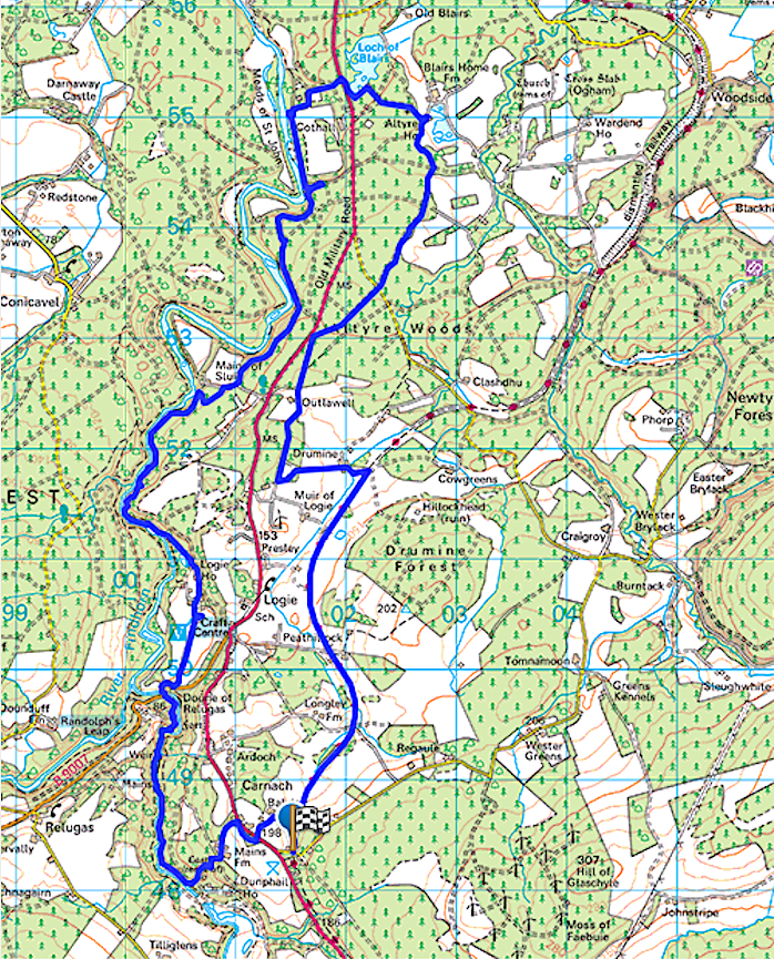
A circular route from the VH going north on Dava Way to start with, then on farm tracks and paths to the River Divie, then onto the River Findhorn paths to Logie Steading Cafe. Continuing north on river paths to Loch of Blairs, then through the Altyre Estate on tracks and paths to Outlawell and Drummine Farm. North on Dava Way back to village hall for tea and cakes
Entry Details:
Walk Report
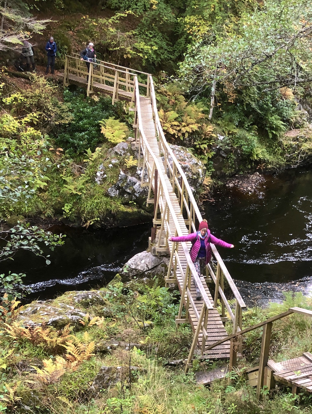
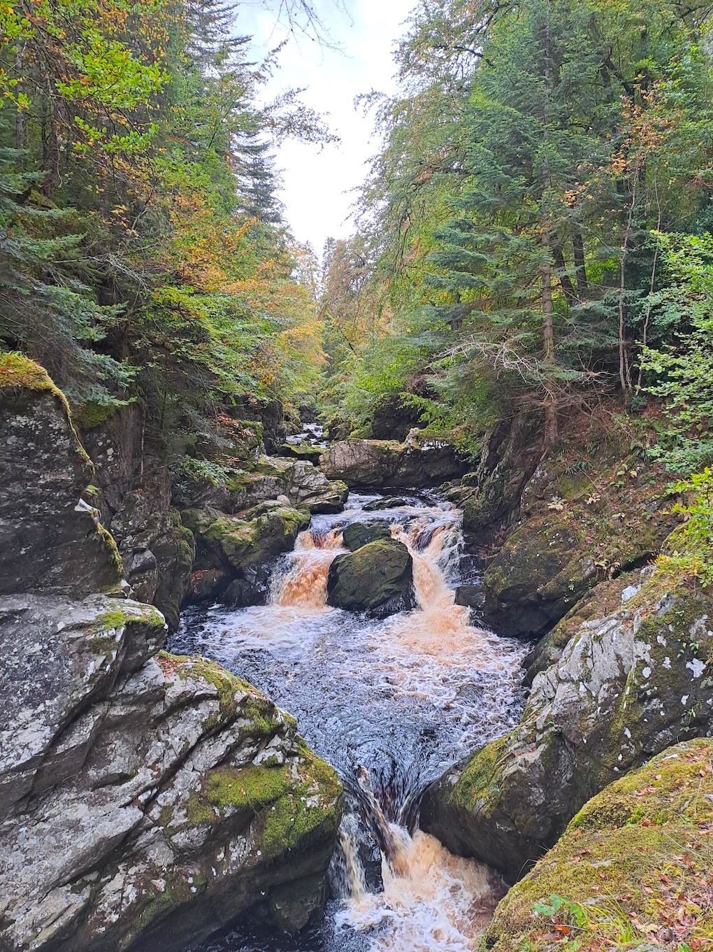
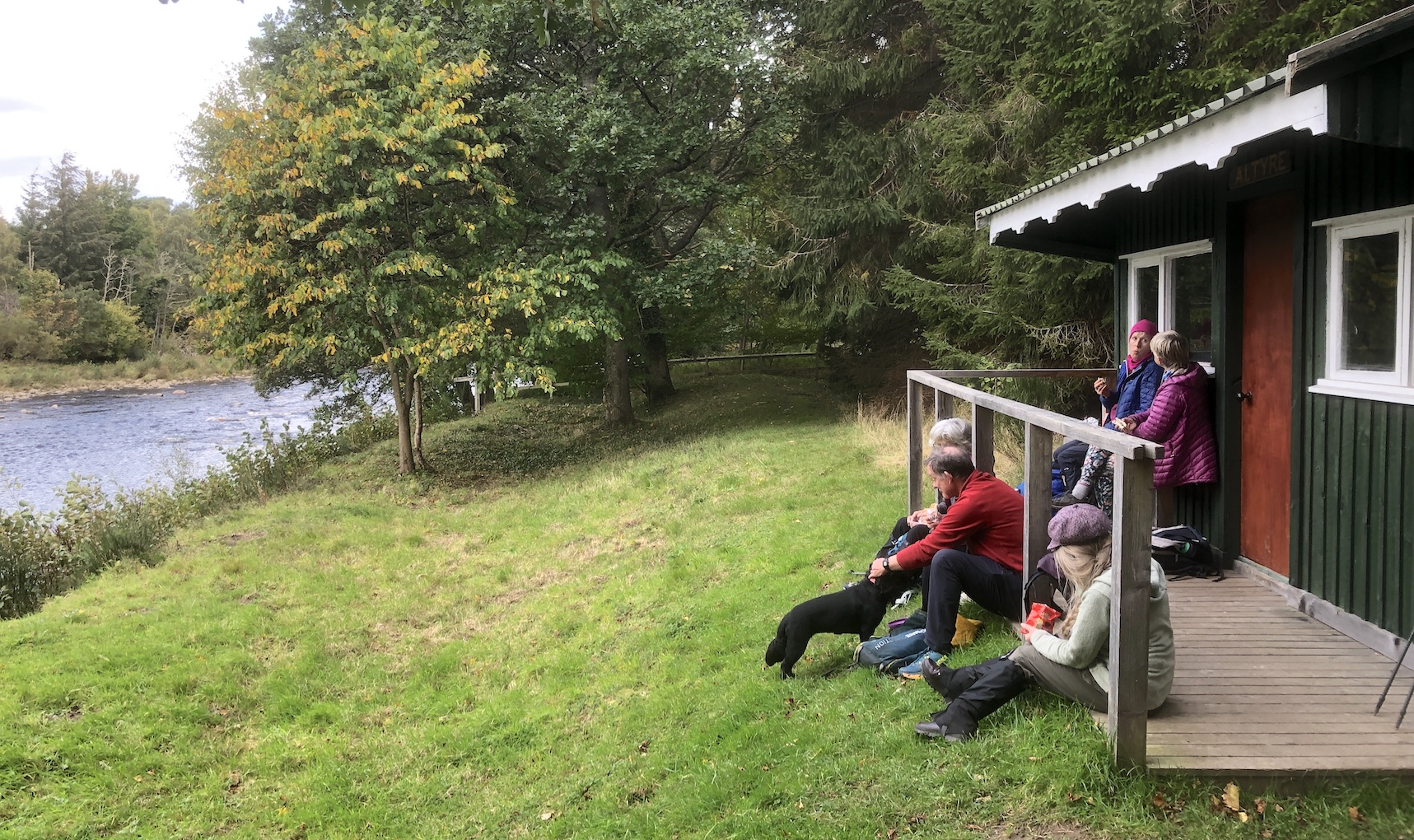
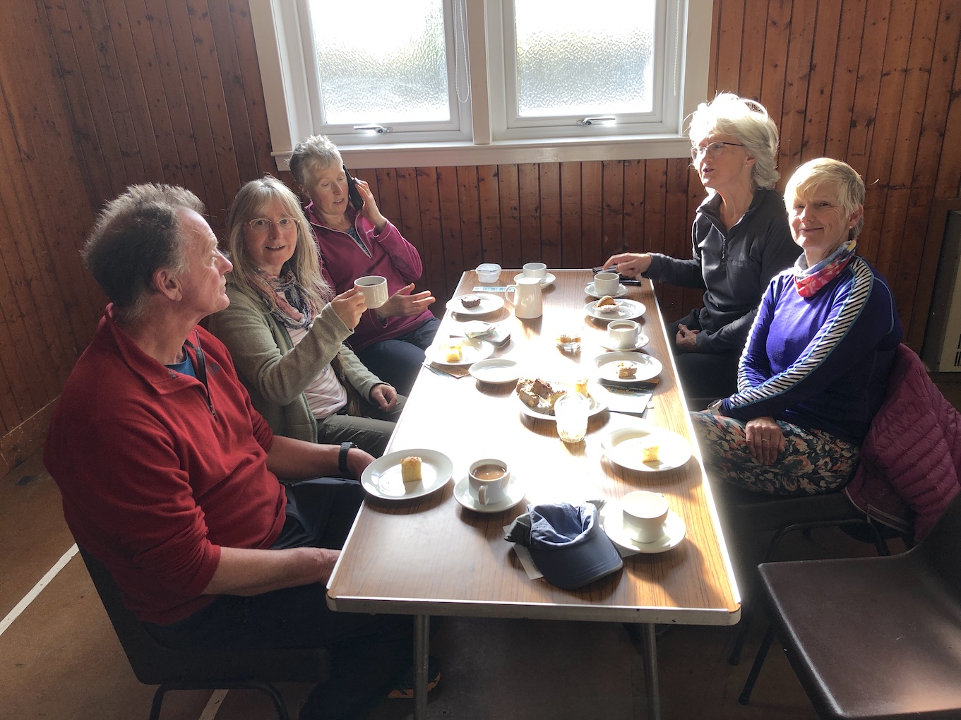
We met up at the Hall car park at 9am and did a circular walk that took in the Logie Cafe for a late morning coffee and cakes, an Altye picnic lunch and the Edinkillie refreshments at the end. Lots of river walking along the Divie and Findhorn rivers with salmon being spotted leaping up the Falls of Carrachan. We also passed a ruined castle at Dunphail, a vitrified fort at Relugus, a restored boathouse at Loch of Blairs and many large country houses and buildings of Architectural note.Other Files
GPX
A GPX file of the above route may be downloaded by clicking the link below.
Note: GPX files of Group Walks are created by LDWA Group members, and may be downloaded only by other LDWA members. They should not be made available outside the LDWA, and are used at members' own risk.
Login to Download (Members Only)You can use the interactive controls to zoom in and out and to move around the map, or click on a path or a marker for more info. (interactive map help)
You can use the interactive controls to zoom in and out and to move around the map, or click on a path or a marker for more info. (interactive map help)
© OpenStreetMap contributors under Open Database Licence
Rights of way data from selected Local Authorities
Large scale digital mapping is provided by John Thorn
At high zoom levels the route is indicative only.
Gallery
Maps:
You can use the interactive controls to zoom in and out and to move around the map, or click on a marker for more info. (interactive map help)
© OpenStreetMap contributors under Open Database Licence.
Rights of way data from selected Local Authorities.
Large scale digital mapping is provided by John Thorn.


