


Anniversary Epilogue: West from Richmond
Sun 26th Jun 2022
Walk Details:
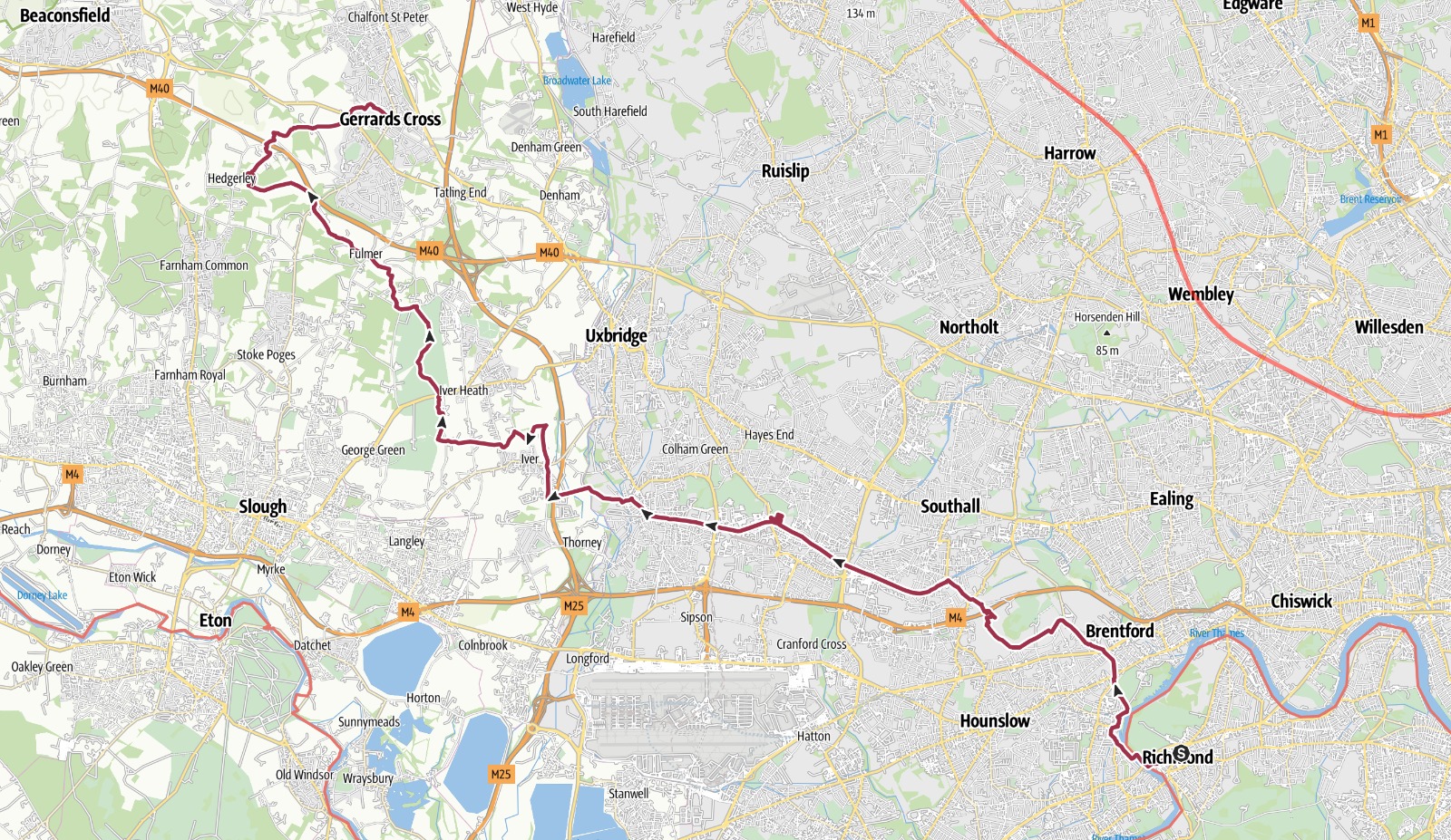
Route includes Osterley park, Grand Union Canal and Chilterns. Come prepared for adventure and transport challenges.
Finish at Gerards Cross
Entry Details:
Walk Report
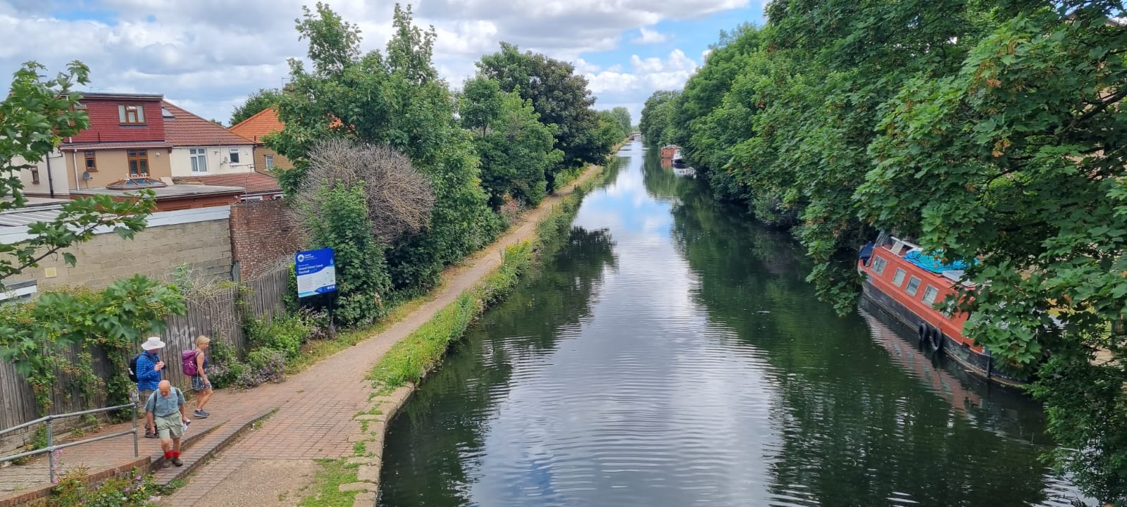
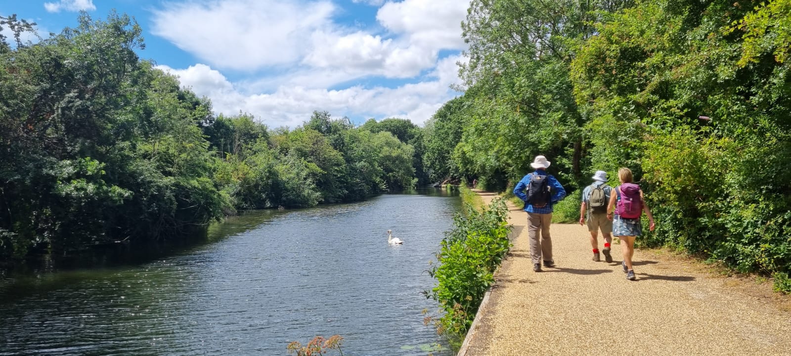
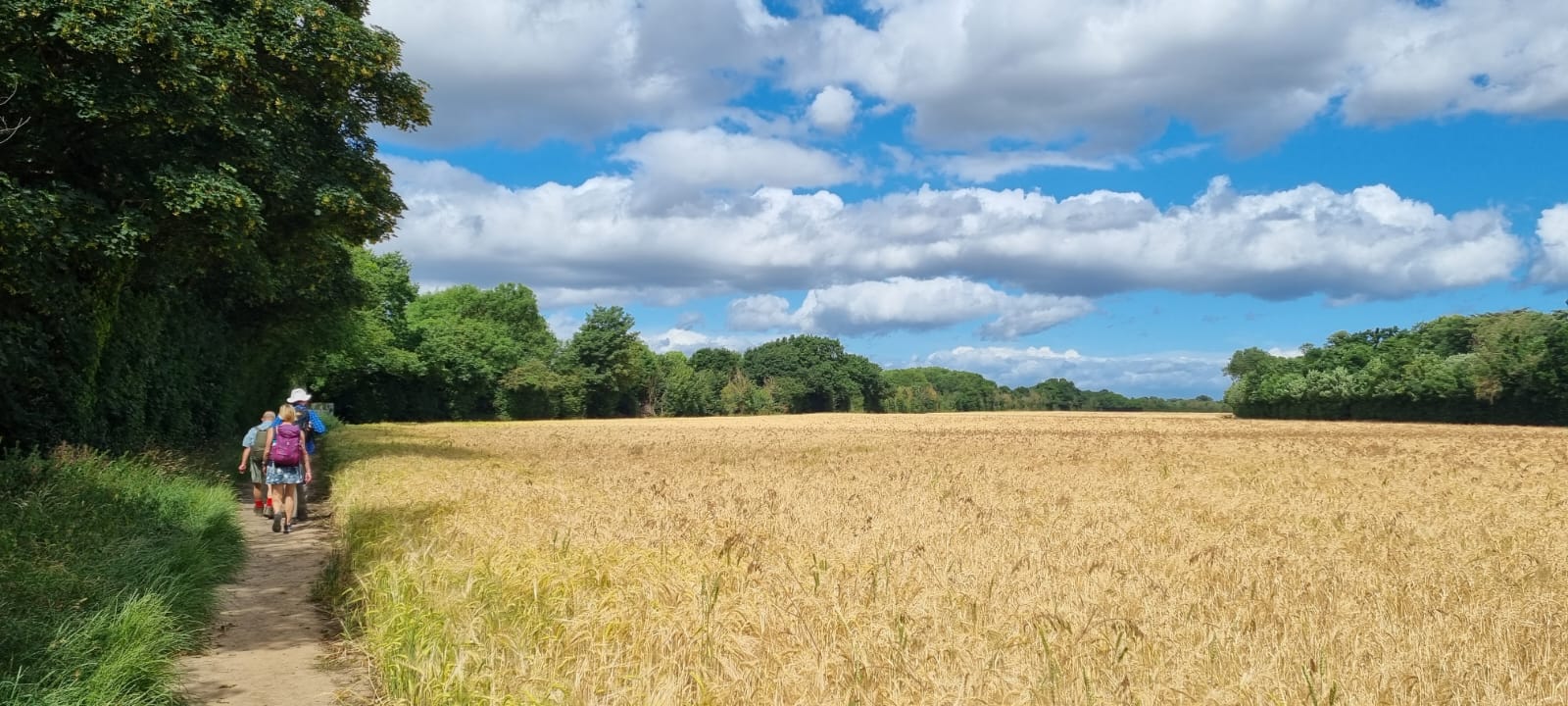
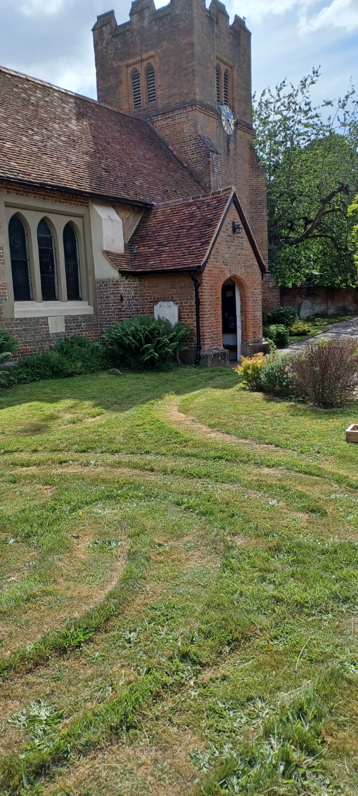
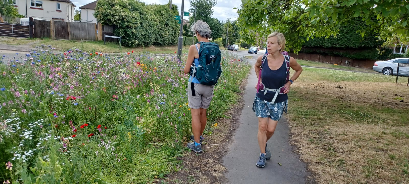
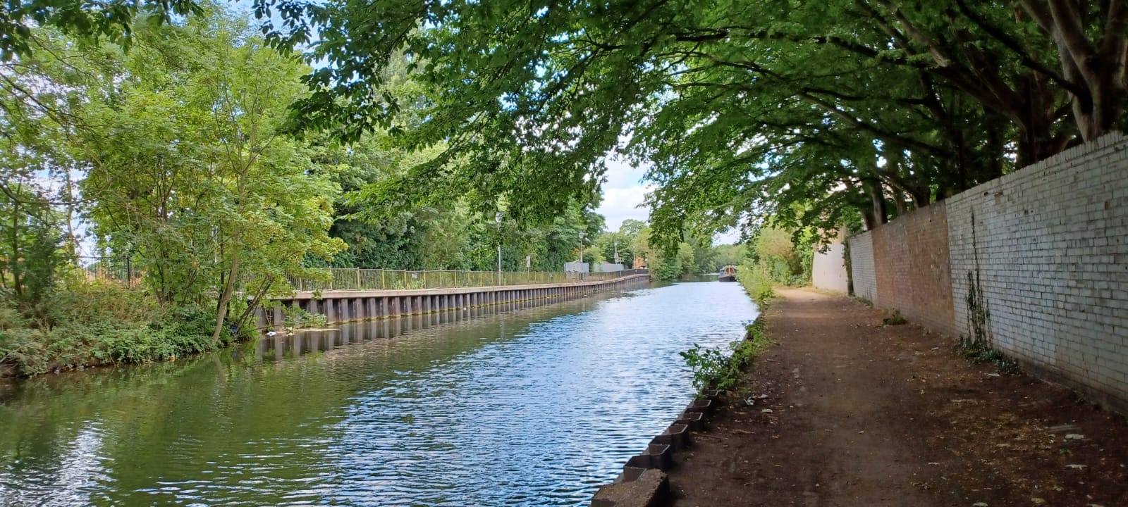
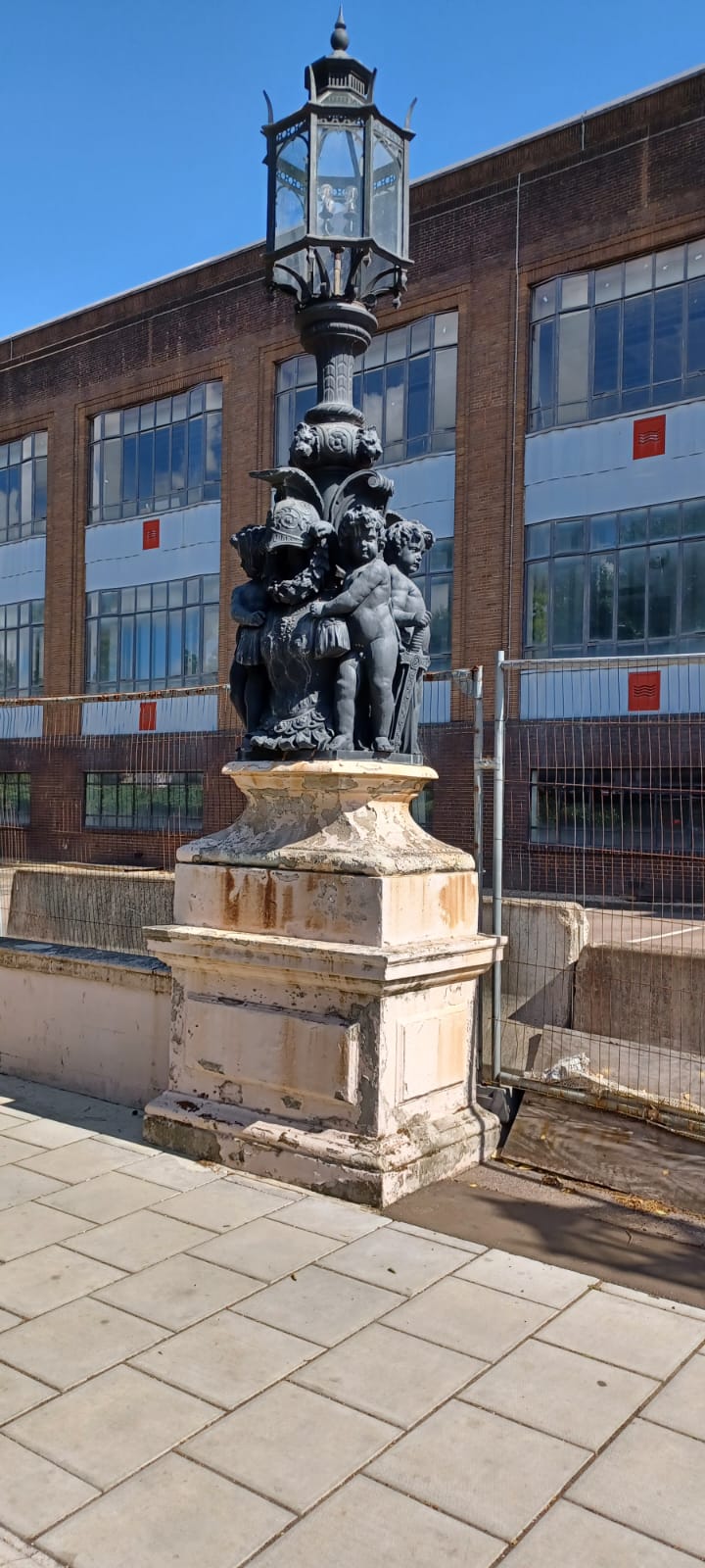
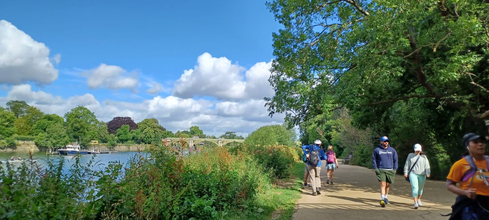
Anniversary Epilogue: West from Richmond, Saturday 26th June 20224 walkers, 25 miles - leader Jerome Ripp
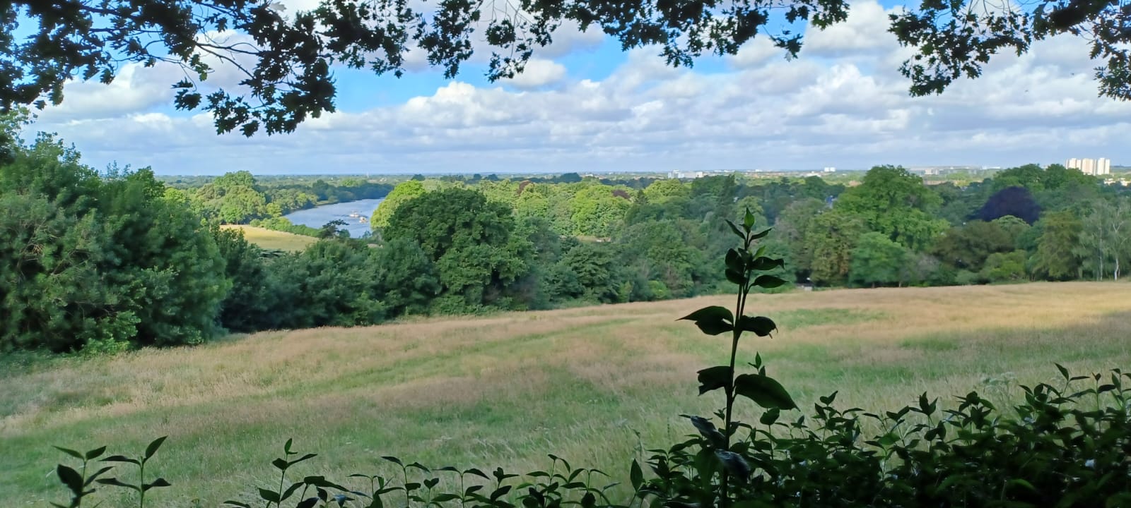
Exactly 2 years ago I lead my first post Covid lockdown walk with a group of just 2. Today's group of 4 for walk 90 in the post Covid set was thus a 100% increase in walker numbers. This walk complemented the prologue of 2 weeks ago to give us the 50 miles for the LDWA 50. Using sections of the Thames Oath, Capital Ring, London Loop and Grand Union Canal completed the first urban part of the walk to West Drayton. The rural Chiltern Section had parts of the Beeches Way, Colne Valley Way and Shakespeare Way through the delightful Temple Gardens in Langley Park and the tree lined avenues in Black Park, the villages of Fulmer and Hedgerley to Bulstrode Park and finished at Gerrards Cross. As promised there was plenty of adventure when a blocked path in Osterley Park necessitated a creative solution through corn fields with seed heads which stuck to our socks and boots and a military assault to reach the bridge over the M4. Later we had paths inundated with nettles and brambles and a non-existent path in Bulstrode Park to add to the fun.
Photographs by Mari Espinar and Jerome Ripp
Other Files
Download Walk ReportGPX
A GPX file of the above route may be downloaded by clicking the link below.
Note: GPX files of Group Walks are created by LDWA Group members, and may be downloaded only by other LDWA members. They should not be made available outside the LDWA, and are used at members' own risk.
Login to Download (Members Only)You can use the interactive controls to zoom in and out and to move around the map, or click on a path or a marker for more info. (interactive map help)
You can use the interactive controls to zoom in and out and to move around the map, or click on a path or a marker for more info. (interactive map help)
© OpenStreetMap contributors under Open Database Licence
Rights of way data from selected Local Authorities
Large scale digital mapping is provided by John Thorn
At high zoom levels the route is indicative only.
Gallery
Maps:
You can use the interactive controls to zoom in and out and to move around the map, or click on a marker for more info. (interactive map help)
© OpenStreetMap contributors under Open Database Licence.
Rights of way data from selected Local Authorities.
Large scale digital mapping is provided by John Thorn.


