


A Western Style of Anniversary 50
Sat 11th Jun 2022
Walk Details:
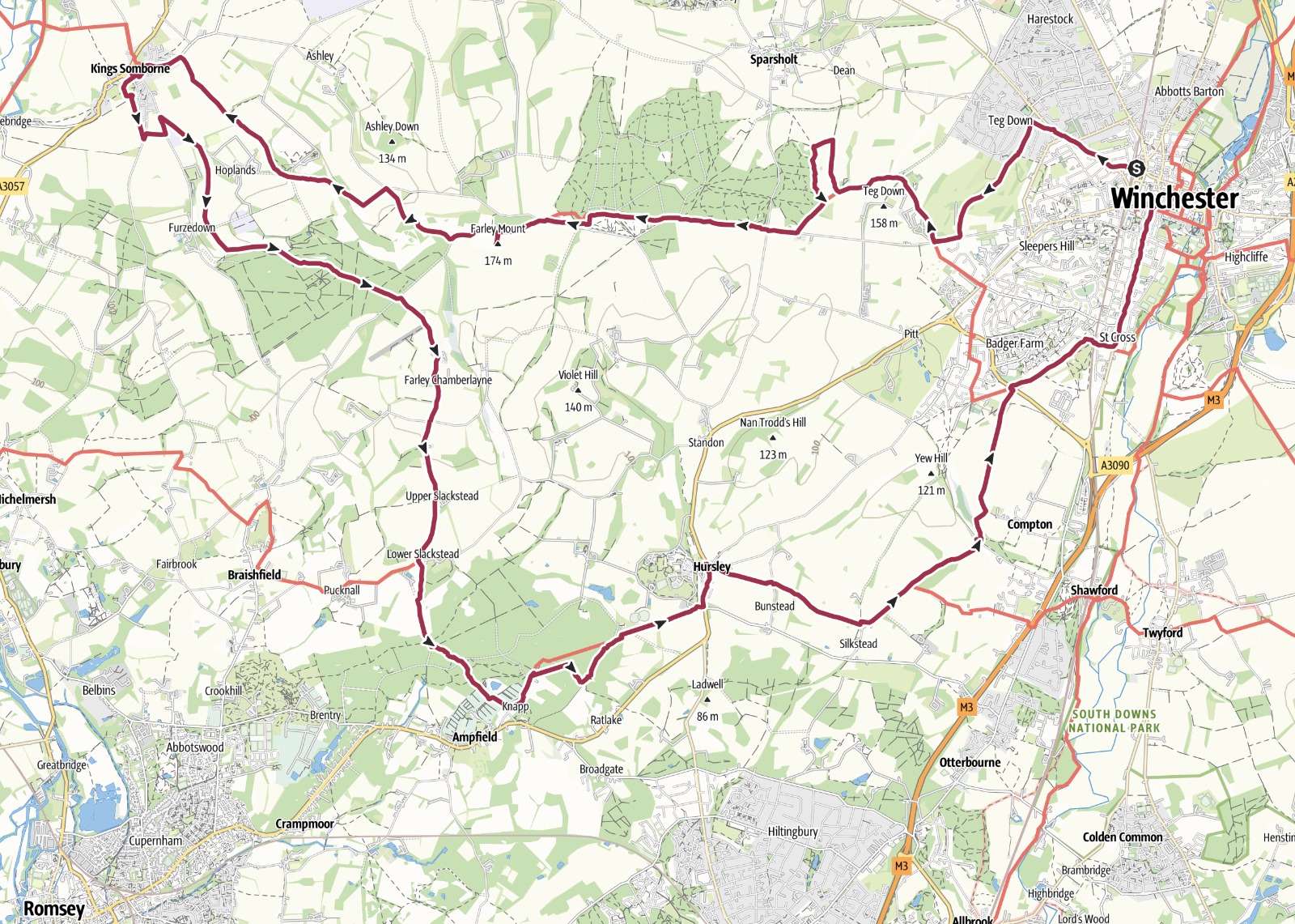
Mainly on the Clarendon and Monarchs Way to the west of Winchester up to the Test Valley at Kings Somborne. A prelude to the LDWA 50th anniversary weekend with a walk of 50 half miles! Three fast return trains per hour
Entry Details:
Walk Report
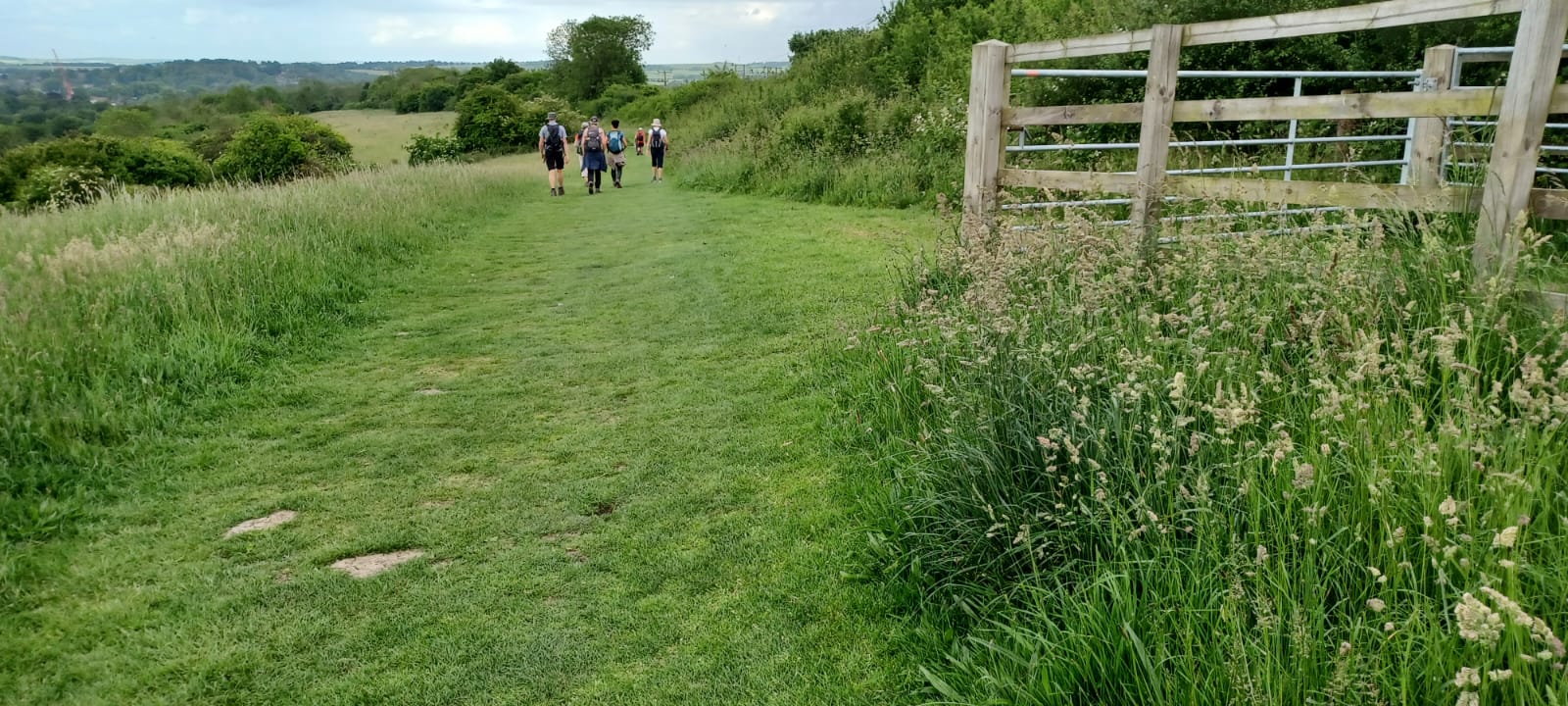
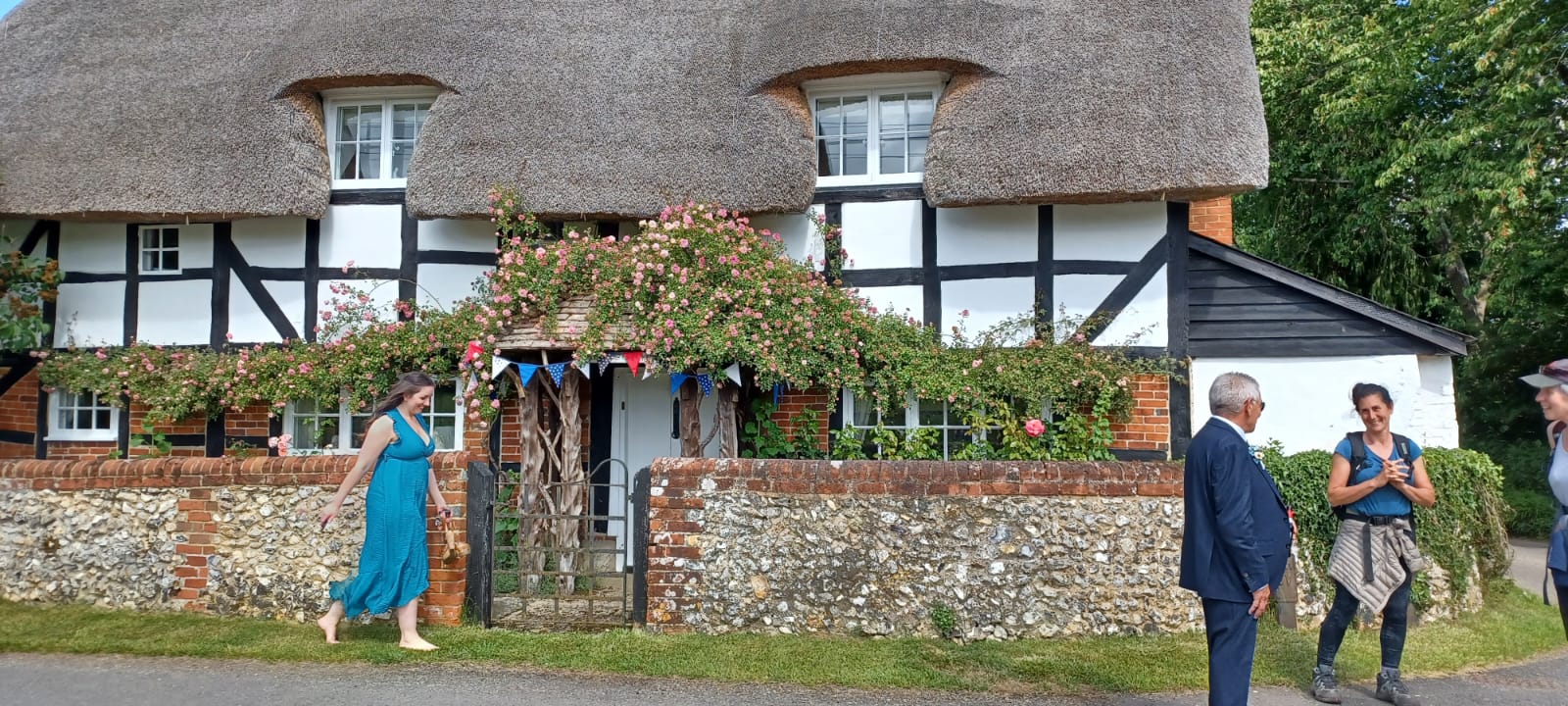
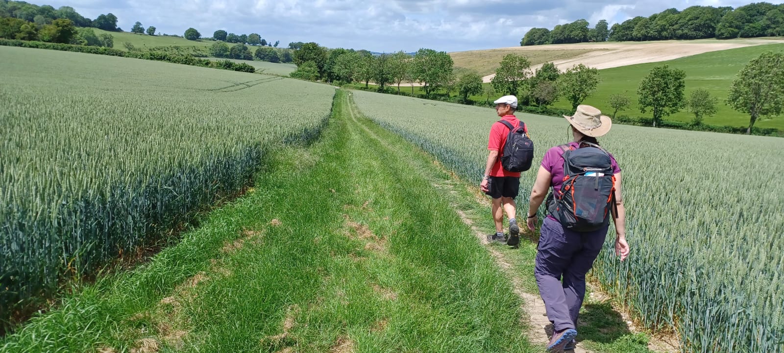
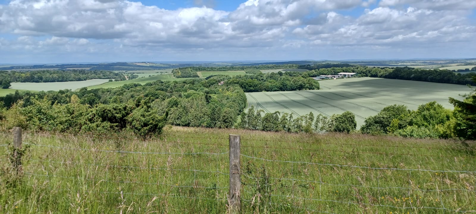
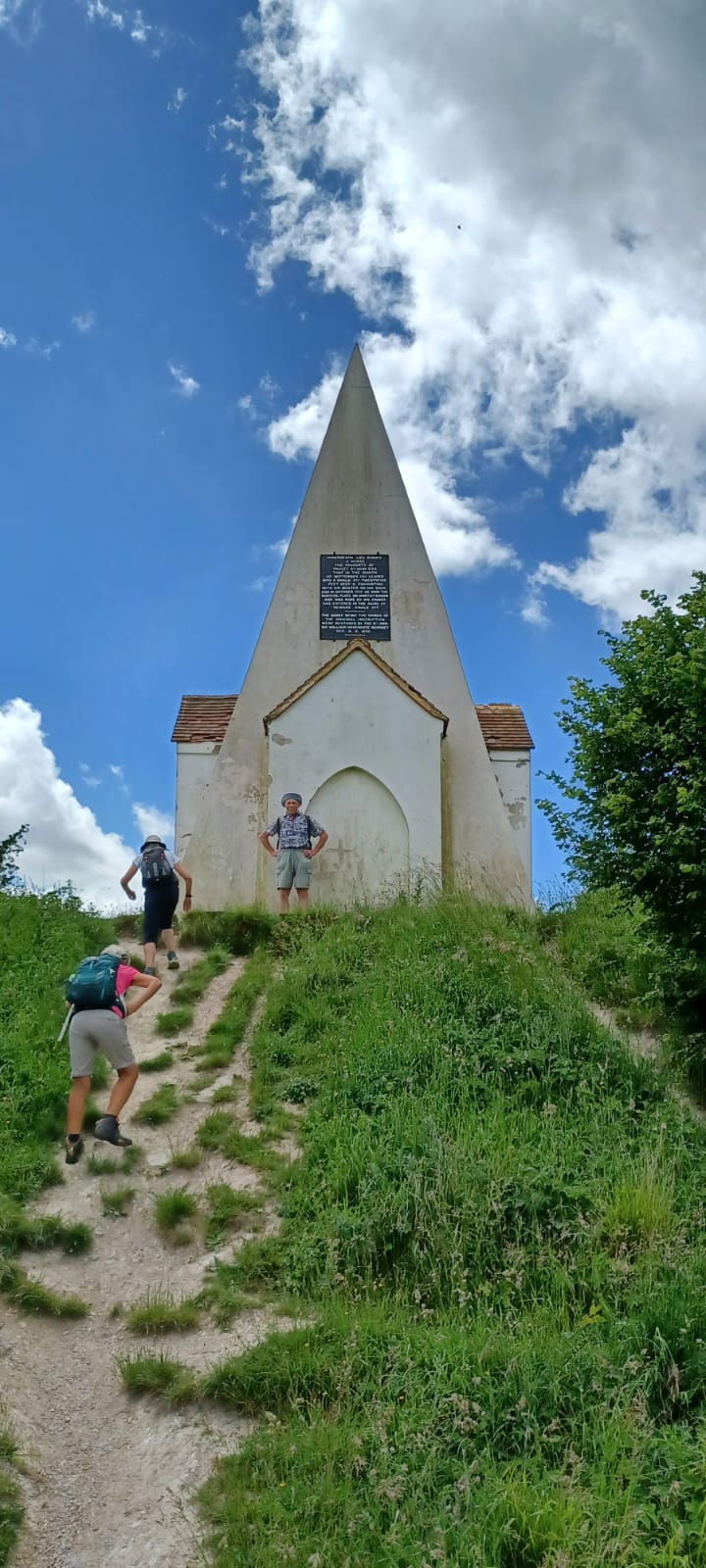
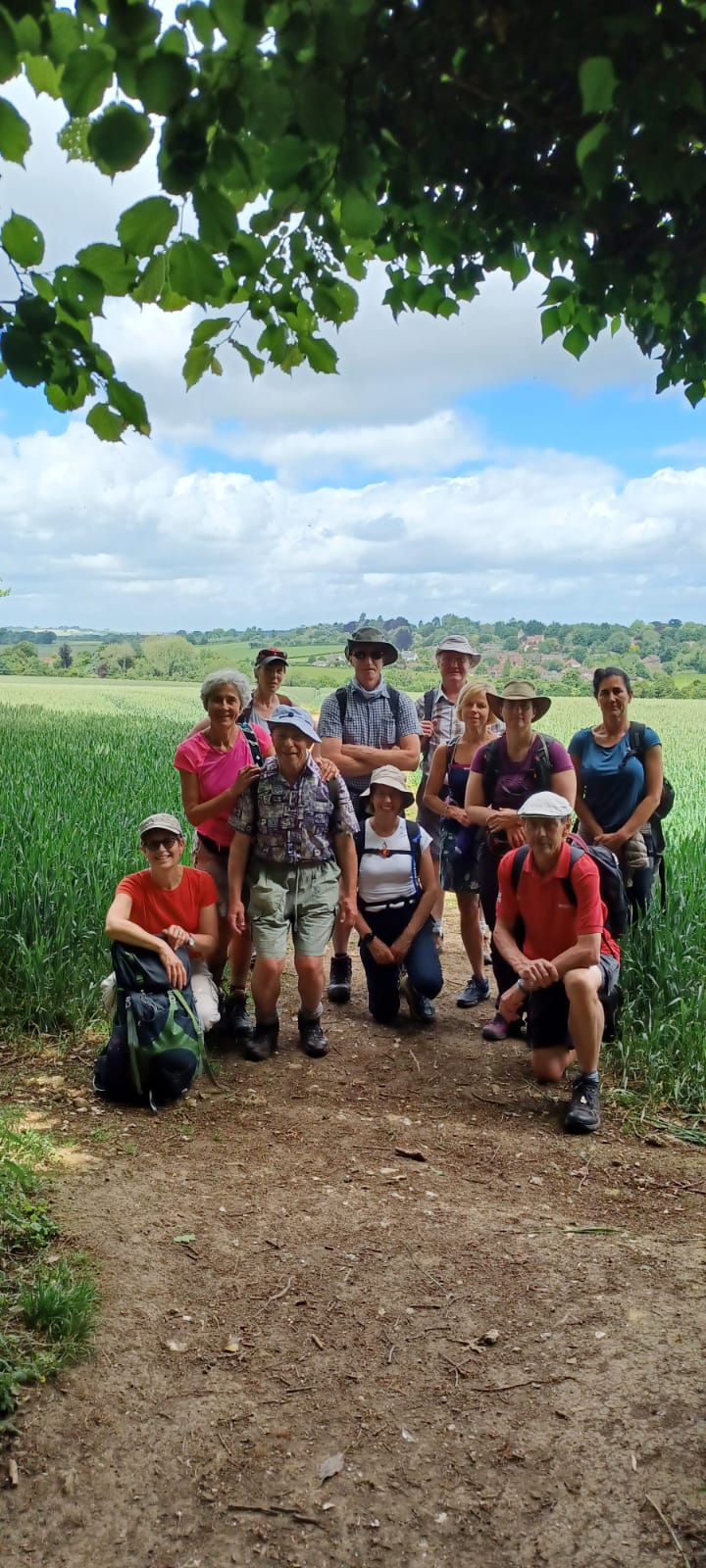
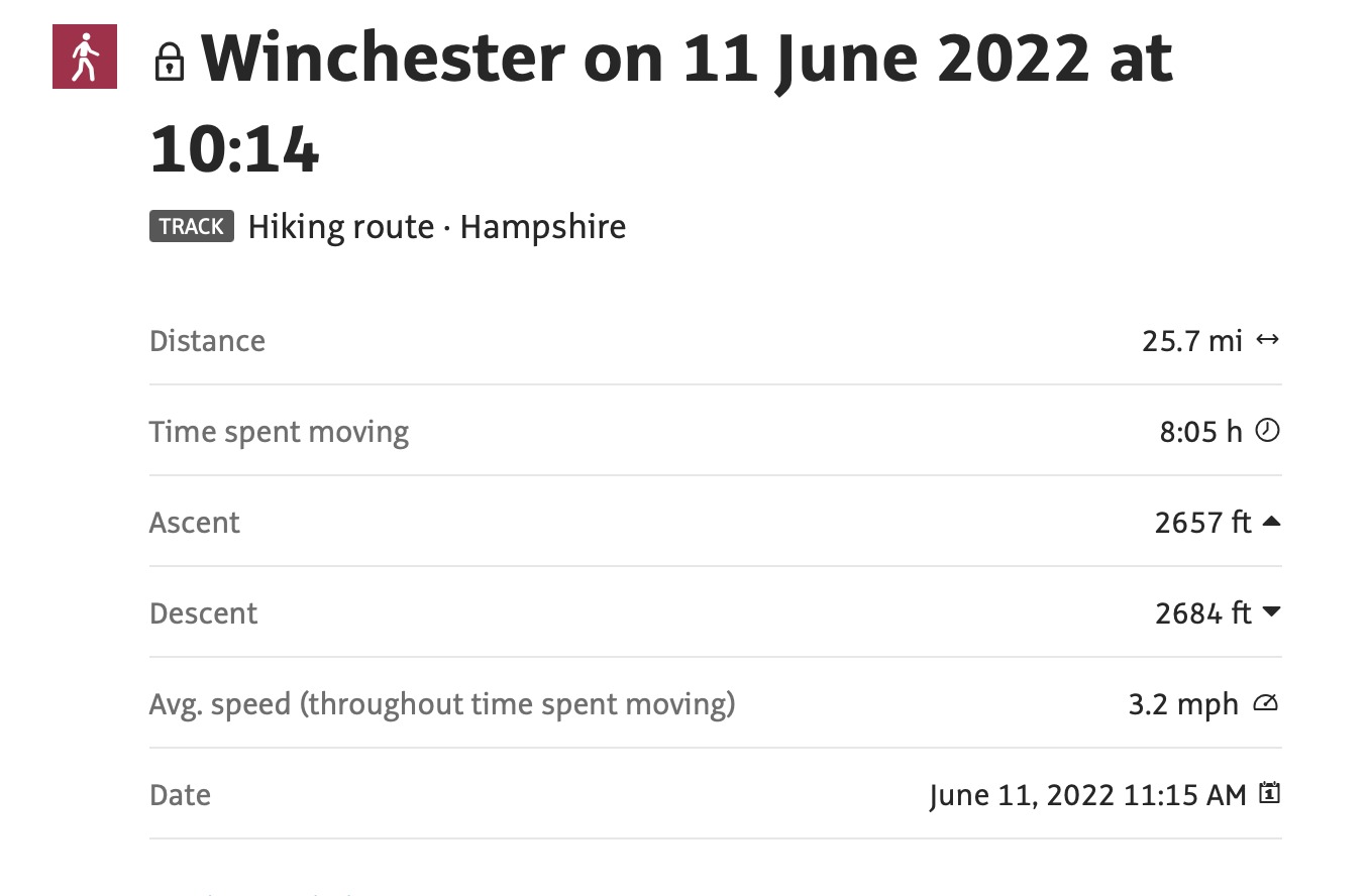
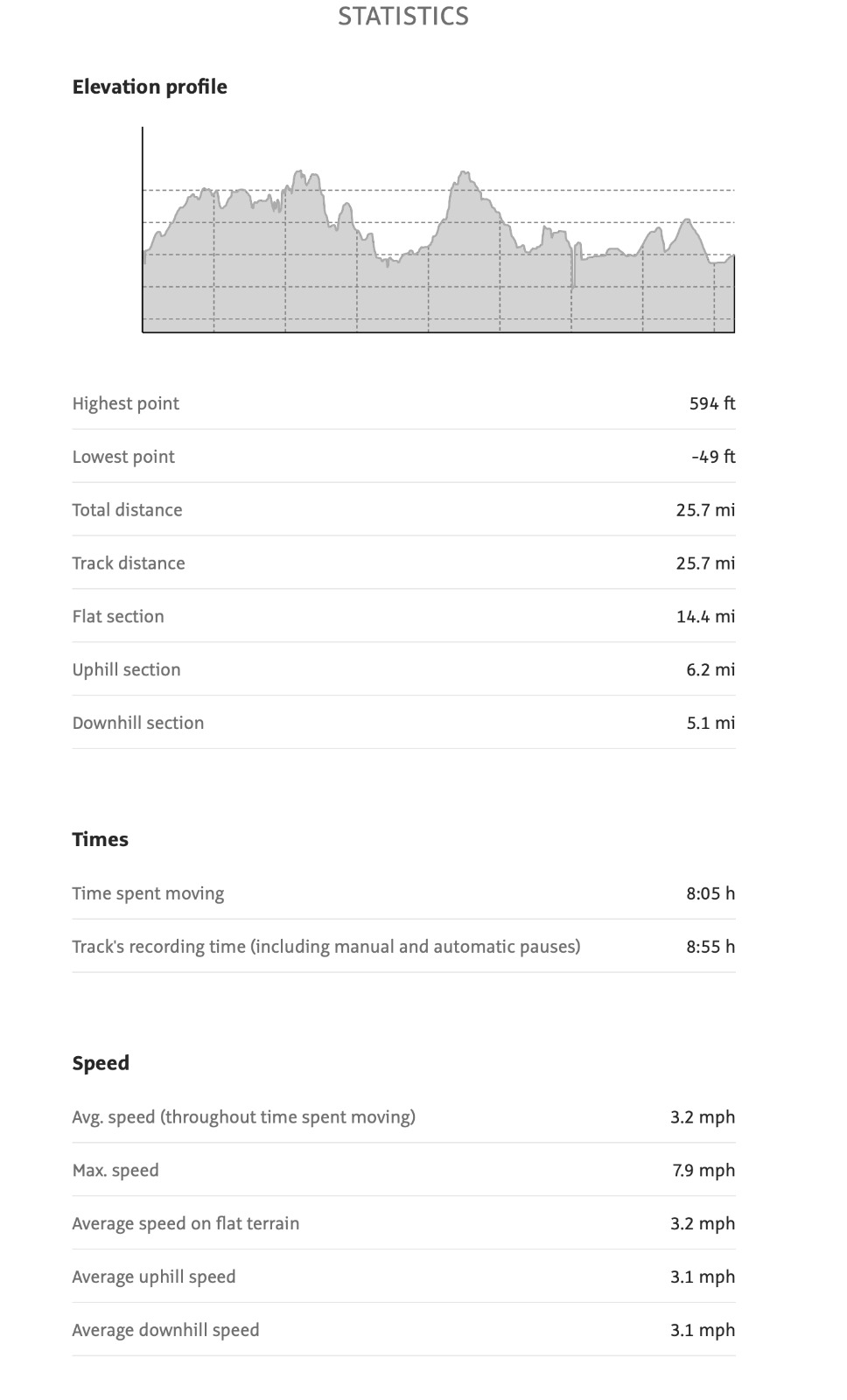
12 walkers 25.8 miles - Leader Jerome Ripp50 miles or 50 km in a day? No way! So how to make a 50? Use half-miles as the unit of distance! As a prelude to the LDWA 50-year anniversary celebrations next week, the plan was a walk of 50 half miles. A broken-down train just ahead of us meant a 10.15 rather than the planned 9.05 start and added to the challenge of the day. Perfect walking weather, great views and a strong group of walkers ensured that the plan was finally achieved. Out on the Clarendon Way passing the famous horse monument on Farley Down to Kings Somborne to view the Lutyens war memorial and a plethora of thatched cottages. Return on the Monarchs Way via Hursley where 3 could not resist the temptation of a bus back to Winchester. This quiet village was once the country residence of the ruler of Britain when Oliver Cromwell's son briefly assumed the reins of power and has been for many years the home of IBM's creative laboratories. Fine ridge return to Winchester.
Photographs by Jerome Ripp
Other Files
Download Walk ReportGPX
A GPX file of the above route may be downloaded by clicking the link below.
Note: GPX files of Group Walks are created by LDWA Group members, and may be downloaded only by other LDWA members. They should not be made available outside the LDWA, and are used at members' own risk.
Login to Download (Members Only)You can use the interactive controls to zoom in and out and to move around the map, or click on a path or a marker for more info. (interactive map help)
You can use the interactive controls to zoom in and out and to move around the map, or click on a path or a marker for more info. (interactive map help)
© OpenStreetMap contributors under Open Database Licence
Rights of way data from selected Local Authorities
Large scale digital mapping is provided by John Thorn
At high zoom levels the route is indicative only.
Gallery
Maps:
You can use the interactive controls to zoom in and out and to move around the map, or click on a marker for more info. (interactive map help)
© OpenStreetMap contributors under Open Database Licence.
Rights of way data from selected Local Authorities.
Large scale digital mapping is provided by John Thorn.


