


SSW4 Stratford to Tottenham Hale
Wed 15th Jun 2022
Walk Details:
A Lea Valley walk through the Olympic Park, across Hackney and Walthamstow Marshes for a tour of Walthamstow Wetlands. This might end up looking suspiciously like the reverse of Lonica's walk a couple of weeks before...
Finish: Tottenham Hale Station
Entry Details:
Walk Report
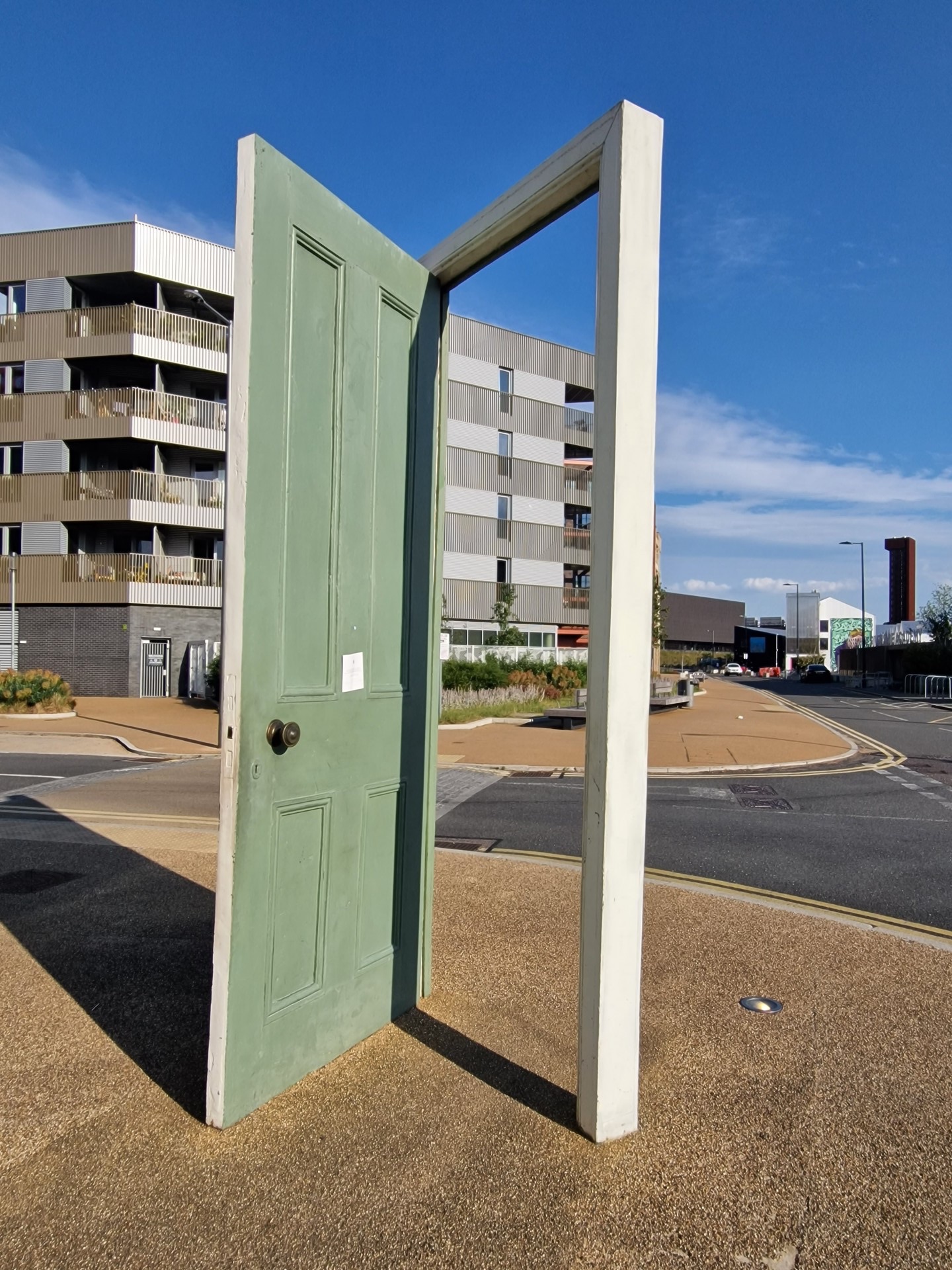
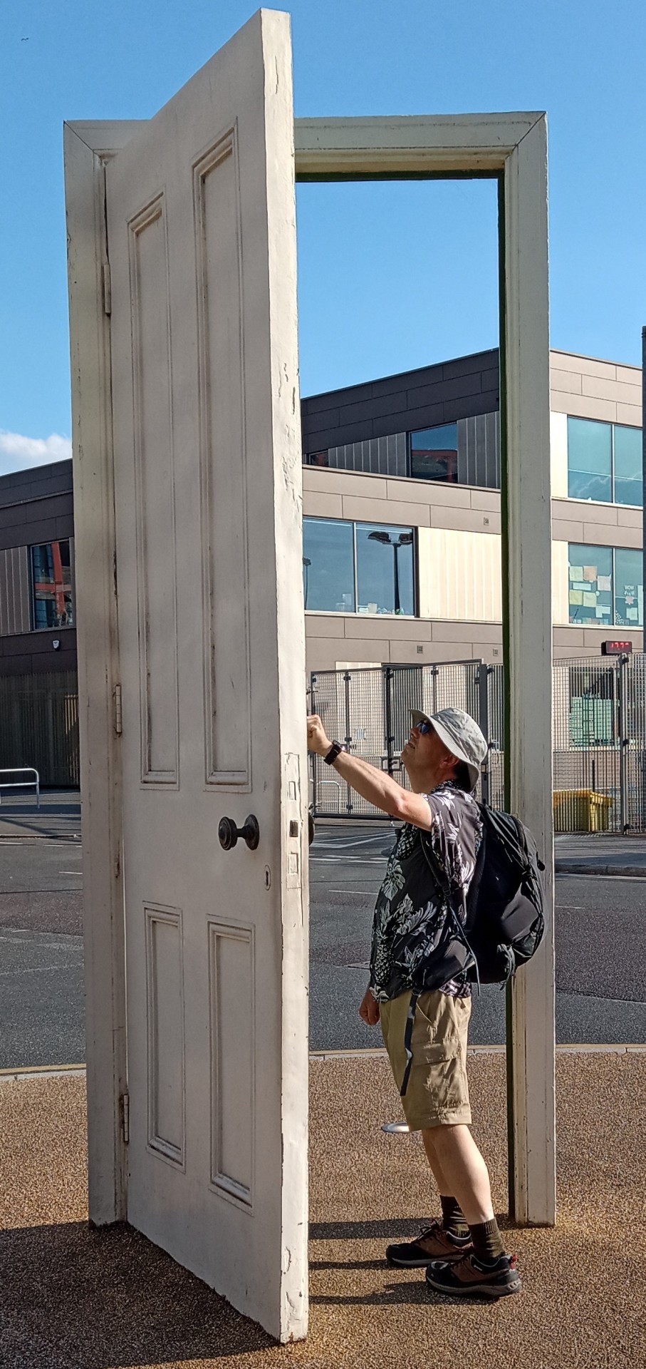
5 walkers, 6.5 + 0.5 miles - leader Pete Colley.With temperatures in the mid-20s, the fourth Stratford Social Walk saw us reversing the last few miles of the inaugural Capital Challenge - exiting the Olympic Park via the Here East complex, into Wick Woods, around the edge of Hackney Marsh by the River Lea to the Middlesex Filter Beds and 'Ackney 'Enge. From there, we strolled alongside the Lee Navigation, past some glorious street art, avoiding the occasional speeding cyclist, reluctant to bring down the speed on their fixie to preserve energy... In terms of navigation, one of the easier routes to lead; especially when you have the author of the book (Walking in London, published by Cicerone Press, available online and in all good bookshops) from which you borrowed the route in the group - thank you Peter!
At Springfield Marina, we left the Capital Challenge route and headed further upstream; Walthamstow Wetlands unfortunately closed to us (this was known in advance!). A brief detour away from the canal to Markfield Beam Engine Museum, on the site of the old pumping station, gave the engineers among us something at which to marvel. As we reached Ferry Lane, below Tottenham Hale station, something went wrong with the route and we ended up in the beer garden of the Ferry Boat Inn.
After ensuring that their produce was fresh, we climbed the 8 feet ascent to Tottenham Hale Station (despite Gavin's GPS claiming no ascent over the entire route!), whence we headed home. As ever, a big thank you to those who joined the walk. Looking forward to seeing you (and others) on the next instalment.
Photographs by Pete Colley and Gavin Fuller
Other Files
Download Walk ReportGPX
A GPX file of the above route may be downloaded by clicking the link below.
Note: GPX files of Group Walks are created by LDWA Group members, and may be downloaded only by other LDWA members. They should not be made available outside the LDWA, and are used at members' own risk.
Login to Download (Members Only)You can use the interactive controls to zoom in and out and to move around the map, or click on a path or a marker for more info. (interactive map help)
You can use the interactive controls to zoom in and out and to move around the map, or click on a path or a marker for more info. (interactive map help)
© OpenStreetMap contributors under Open Database Licence
Rights of way data from selected Local Authorities
Large scale digital mapping is provided by John Thorn
At high zoom levels the route is indicative only.
Gallery

Maps:
You can use the interactive controls to zoom in and out and to move around the map, or click on a marker for more info. (interactive map help)
© OpenStreetMap contributors under Open Database Licence.
Rights of way data from selected Local Authorities.
Large scale digital mapping is provided by John Thorn.


