


SSW2 Stratford to Newbury Park
Wed 25th May 2022
Walk Details:
A less trodden route through Maryland, Forest Gate, Wanstead Flats and Park, traversing the North Circular to the delights of Valentines Park and on to award-winning Newbury Park station.
Entry Details:
Walk Report
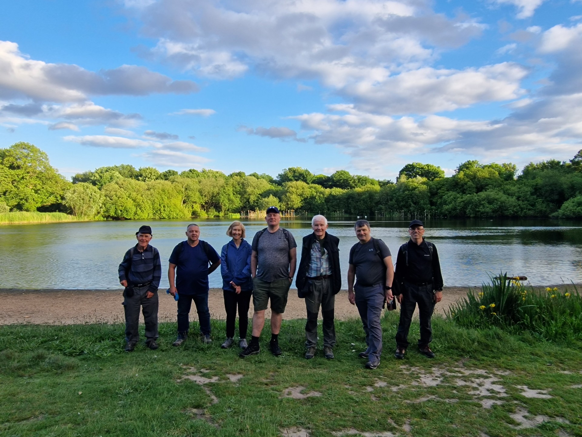
8 walkers, 7.8 miles - leader Pete Colley.The sun was out and the station stayed open for the second of the Stratford Social Walks series.
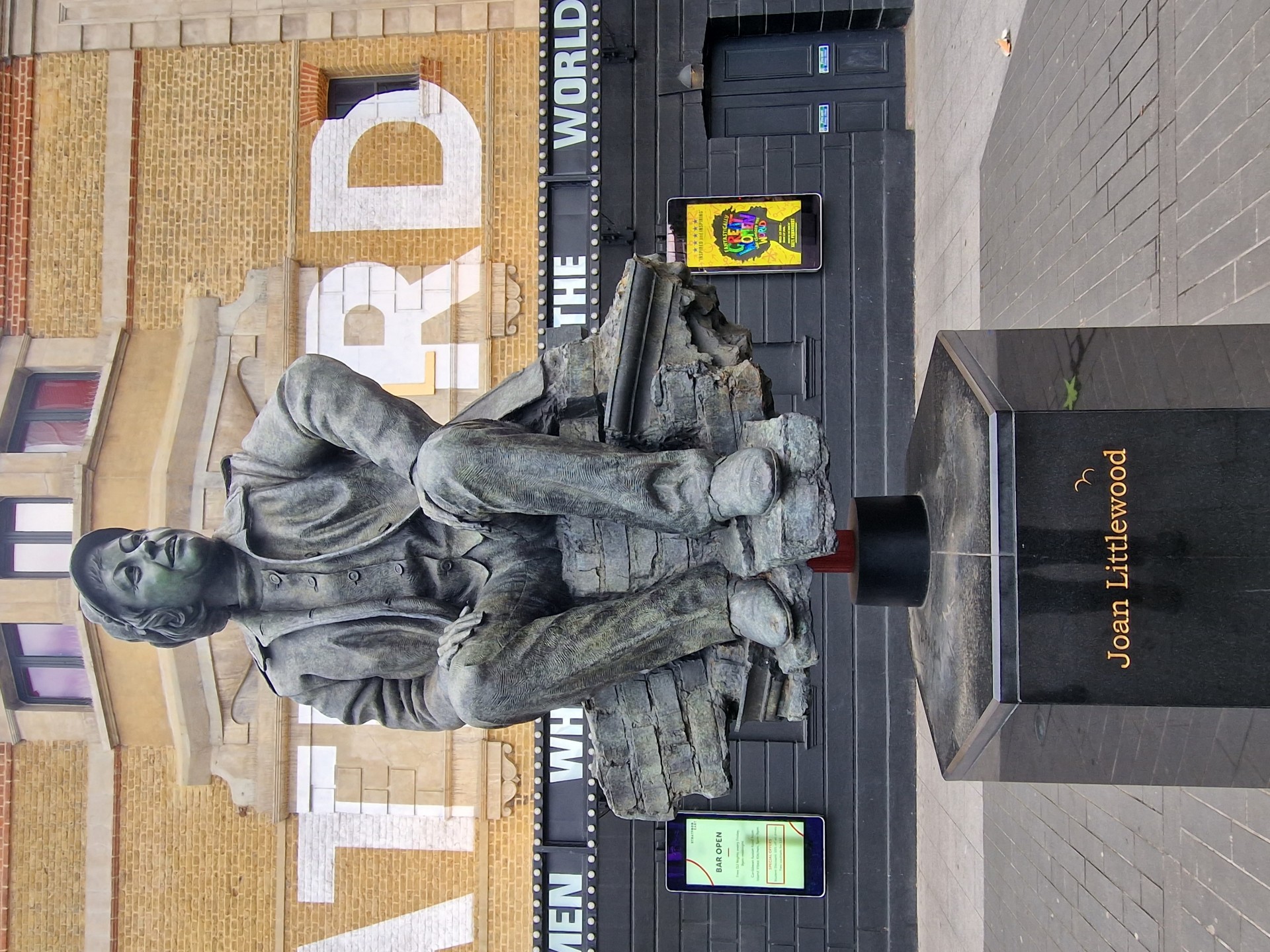
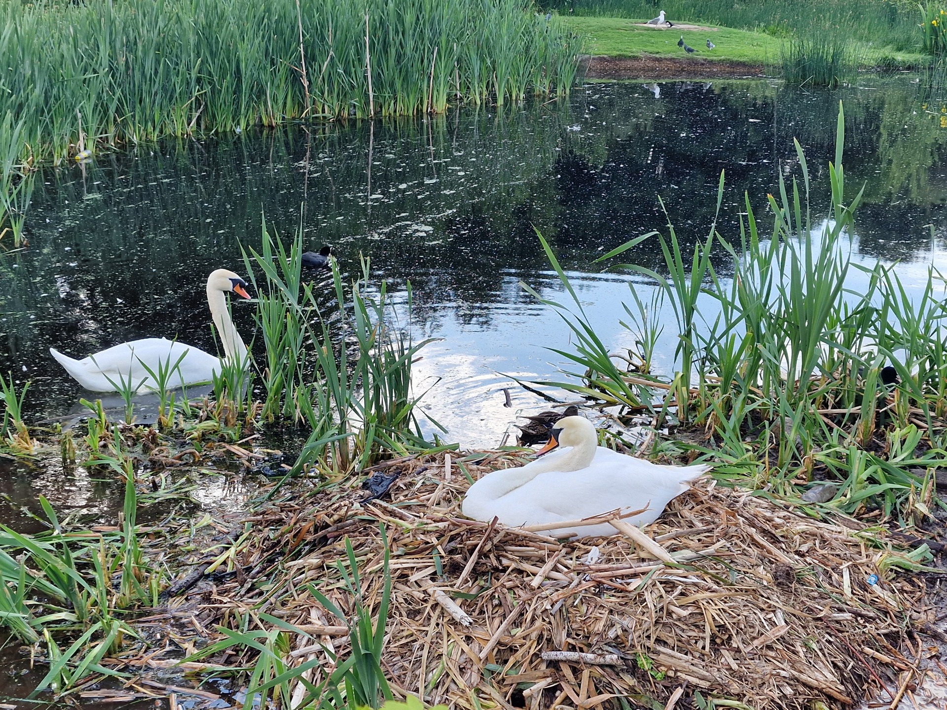
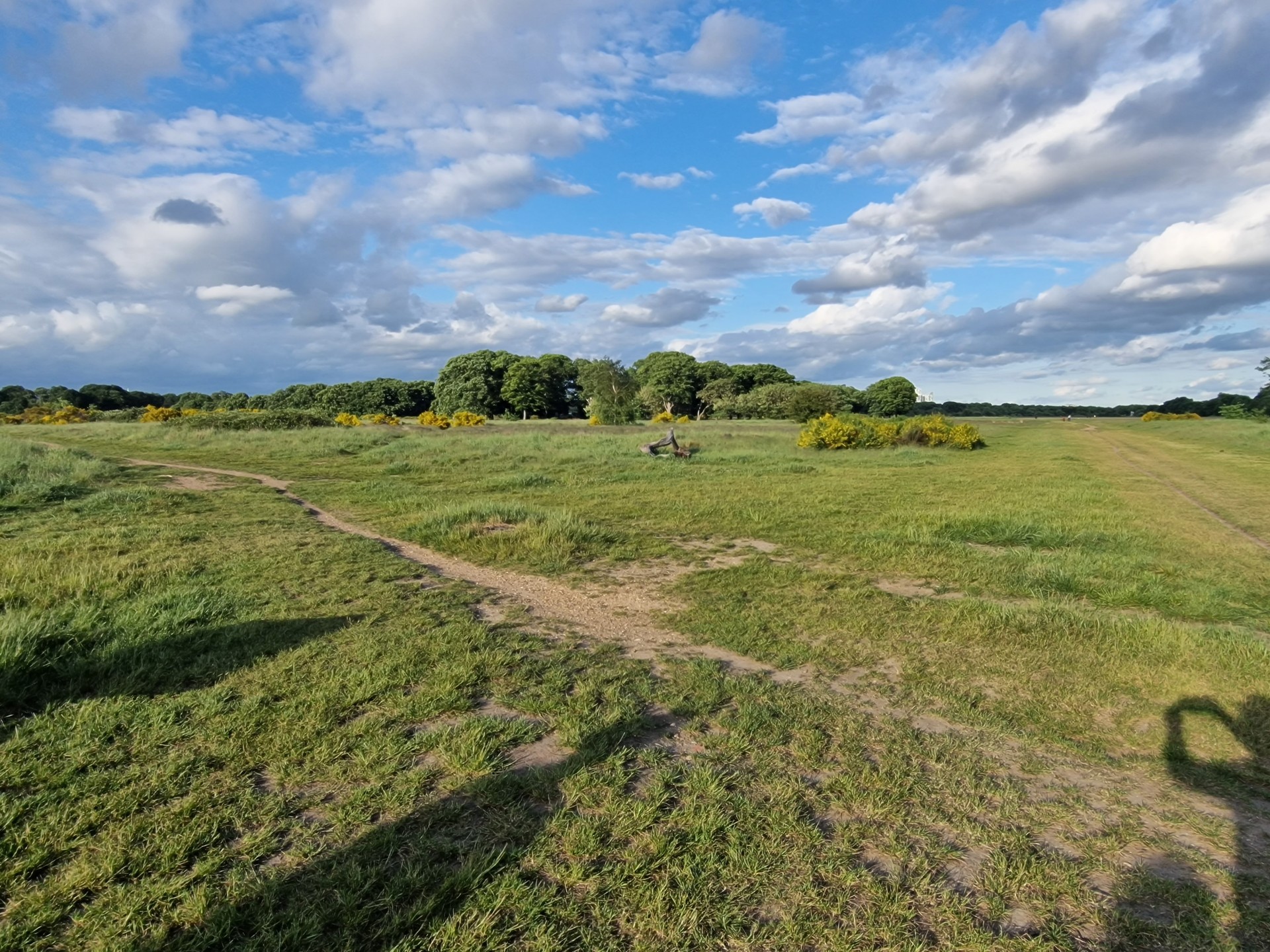
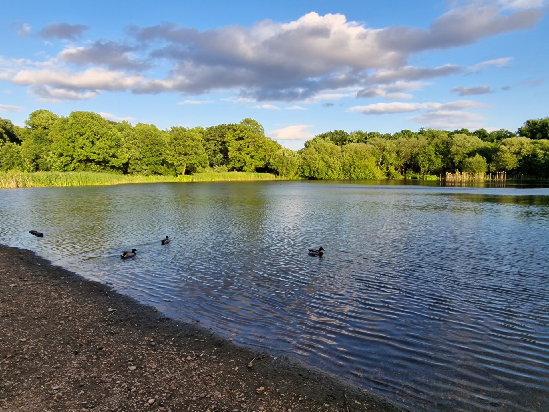
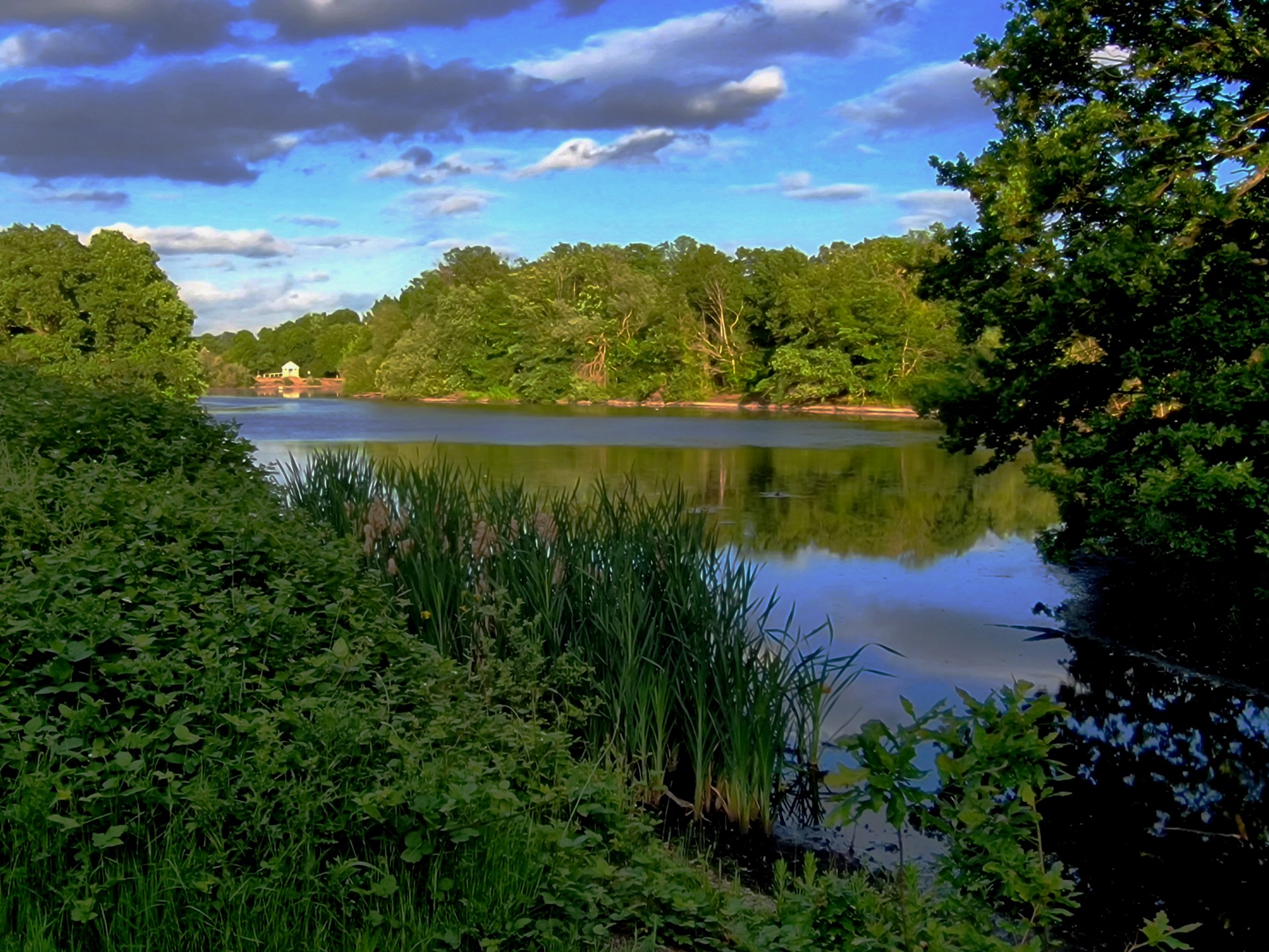
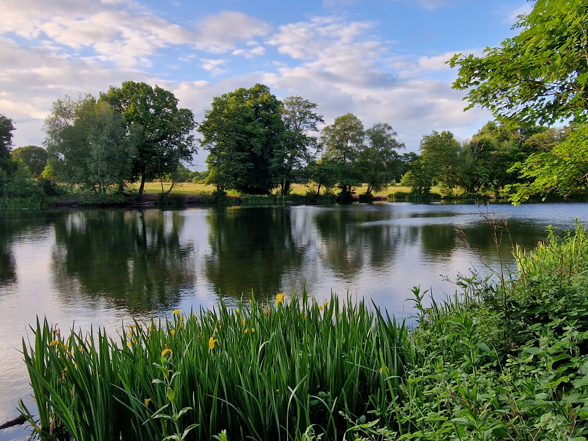
A stroll between the Victorian terraces of Stratford and Maryland took us to the birthplace of "heavy metal legends", Iron Maiden. We headed on through Forest Lane Park, past West Ham Cemetery and on to Forest Gate. Over the verdant pastures of Wanstead Flats, the southernmost part of Epping Forest, we passed the tranquil lakes of Wanstead Park, crossing the peaceful River Roding and the not so peaceful North Circular into Ilford.
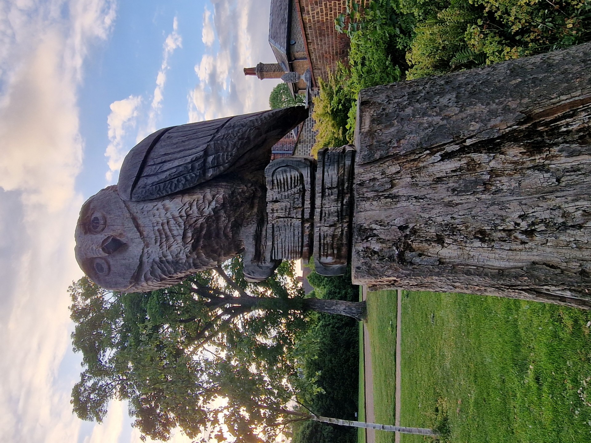
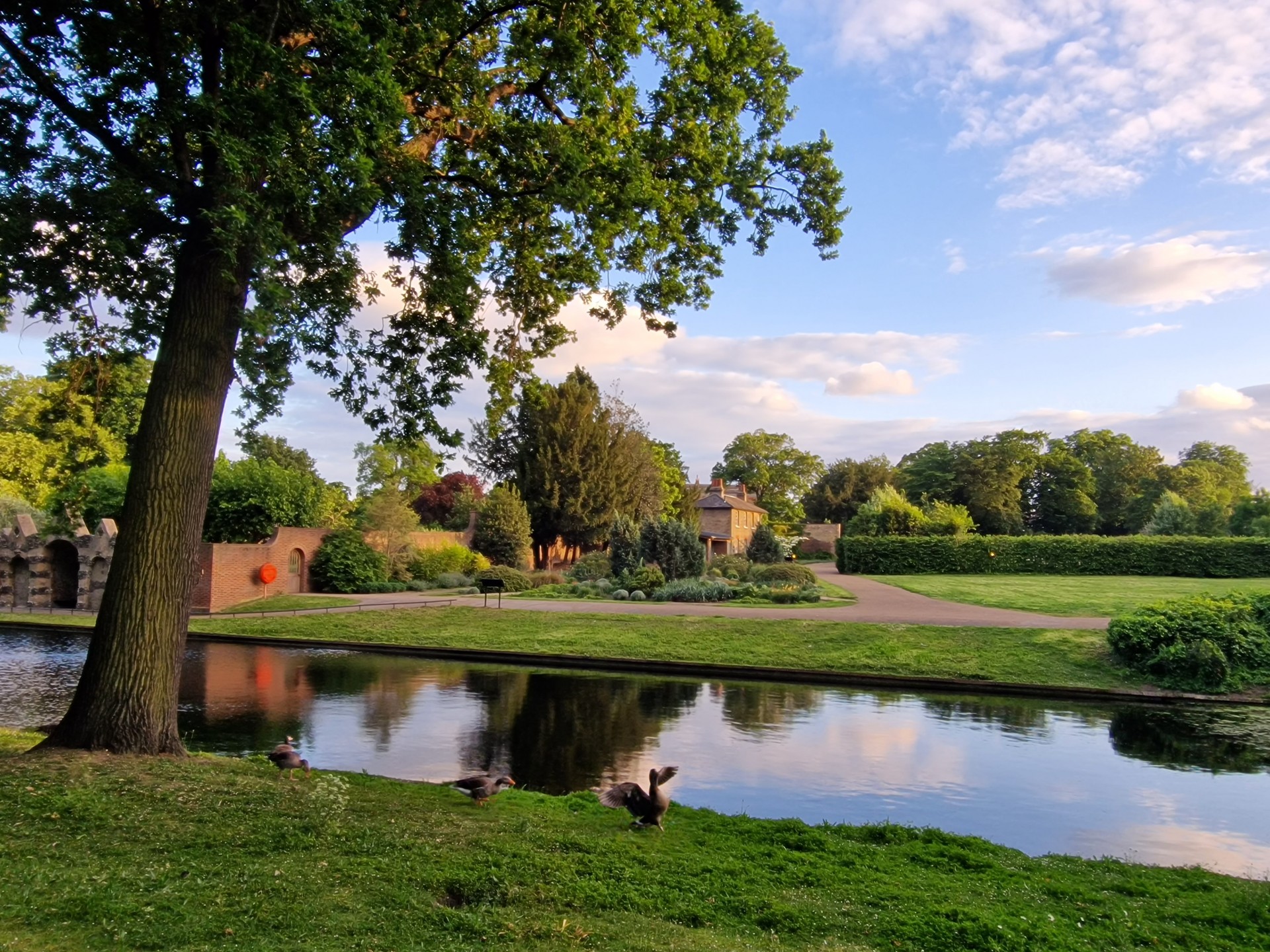
Valentines Park is one of East London's (hidden) gems - it looked immaculate, thanks to Dave Williams' litter picking efforts earlier in the week, as we visited the Rose Garden and the Long Water. Unfortunately, the Walled Garden was closed - I wholeheartedly recommend dropping into the Gardener's Cottage Cafe on a sunny day. We saw ourselves out over the cricket pitch which used to host Essex county cricket games and zig-zagged our way through to Newbury Park station, a winner of a Festival of Britain award in 1951 - they saw things differently back then...
Given the lack of anything much at all at our destination, the walk-weary group managed three stops on the Central Line to Wanstead, where Dave Williams had kindly kept our seats warm at The George, an extremely pleasant Wetherspoons. (Apologies to Gavin for the accidental pint theft...)
A big thank you to all who took part in the second of eight Stratford Social Walks this spring/summer. Looking forward to seeing you (and others) on the next instalment.
Photographs by Gavin Fuller
Other Files
Download Walk ReportGPX
A GPX file of the above route may be downloaded by clicking the link below.
Note: GPX files of Group Walks are created by LDWA Group members, and may be downloaded only by other LDWA members. They should not be made available outside the LDWA, and are used at members' own risk.
Login to Download (Members Only)You can use the interactive controls to zoom in and out and to move around the map, or click on a path or a marker for more info. (interactive map help)
You can use the interactive controls to zoom in and out and to move around the map, or click on a path or a marker for more info. (interactive map help)
© OpenStreetMap contributors under Open Database Licence
Rights of way data from selected Local Authorities
Large scale digital mapping is provided by John Thorn
At high zoom levels the route is indicative only.
Gallery
Maps:
You can use the interactive controls to zoom in and out and to move around the map, or click on a marker for more info. (interactive map help)
© OpenStreetMap contributors under Open Database Licence.
Rights of way data from selected Local Authorities.
Large scale digital mapping is provided by John Thorn.


