


SSW1 Stratford to Tower Bridge
Wed 4th May 2022
Walk Details:
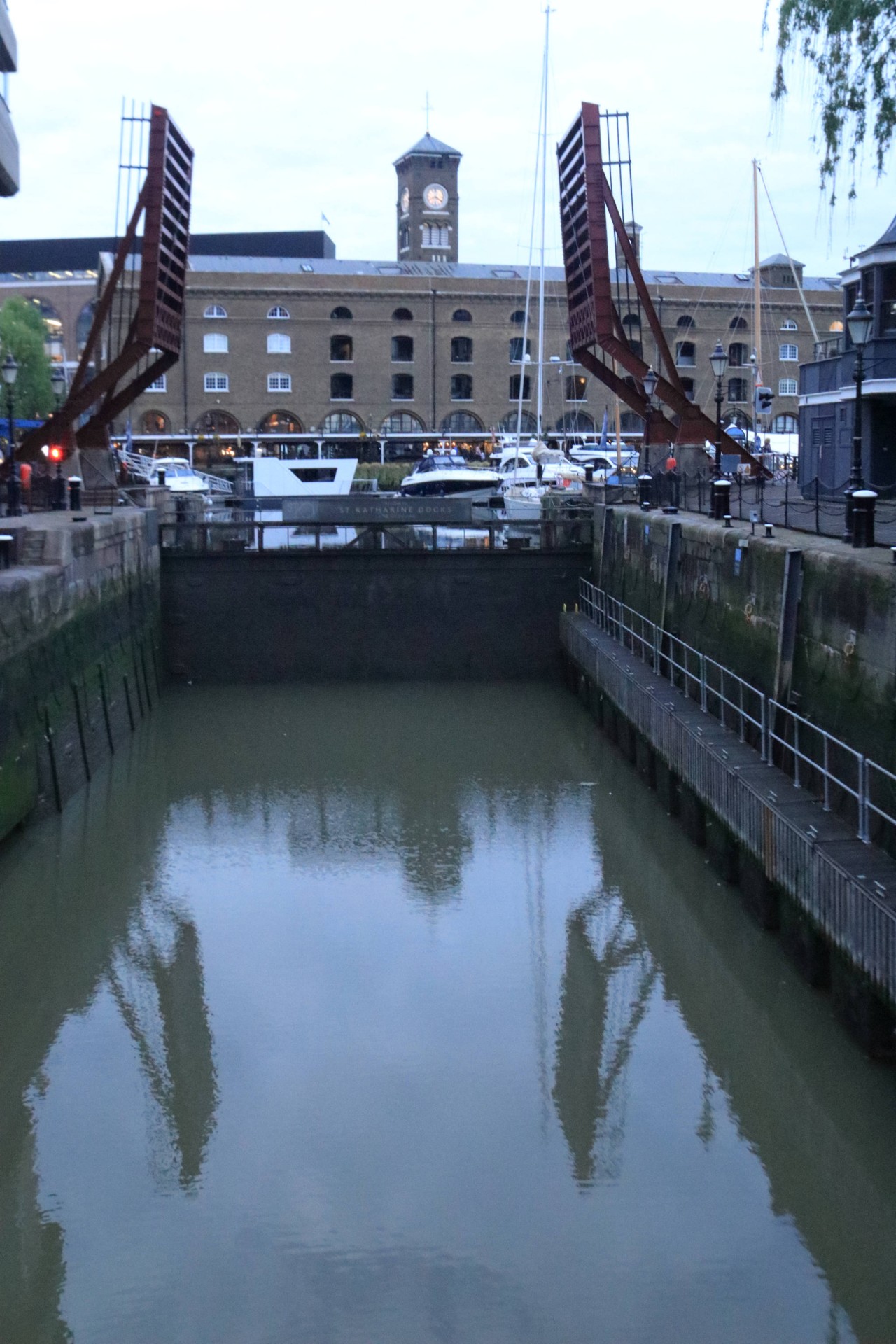
An evening meander alongside the Hertford Union and Regent Canals, and the Thames; visiting two Old Ford Locks, Fish Island, Mile End, Limehouse Basin and Wapping. Finishing at All Hallows by the Tower (opp. The Liberty Bounds)
Entry Details:
Walk Report
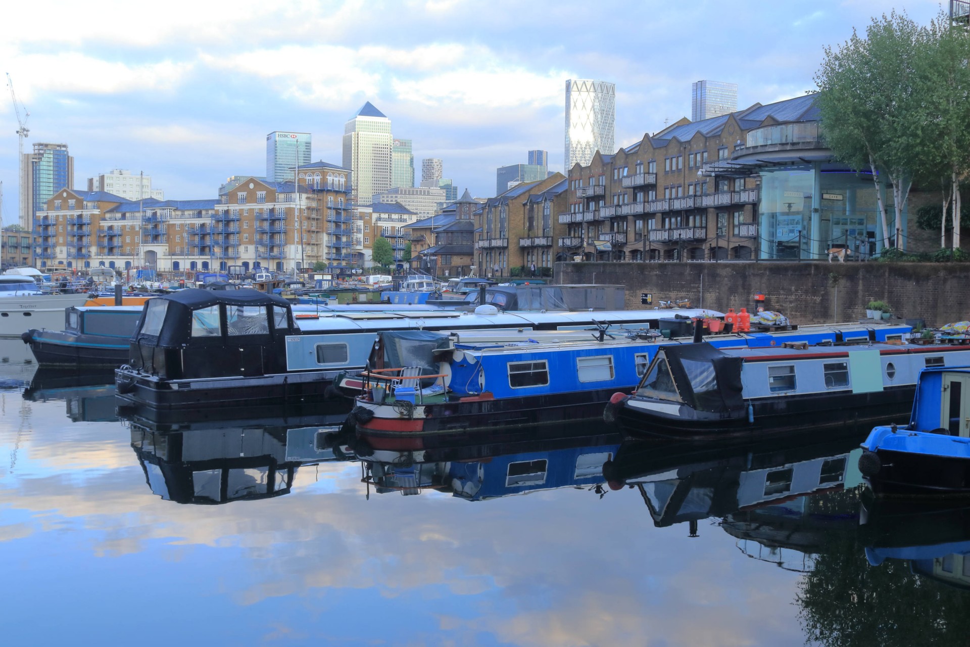
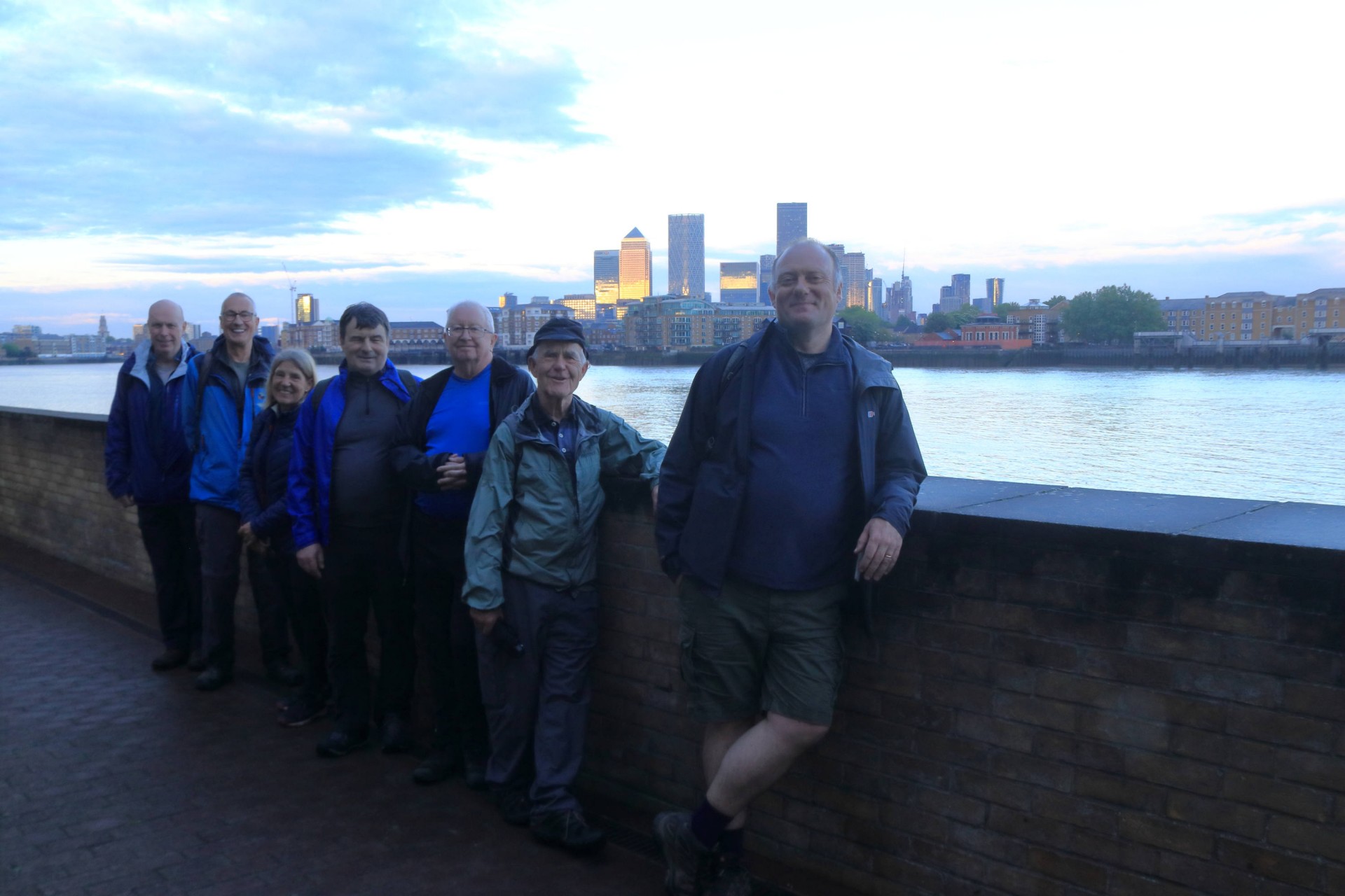
7 + 1 walkers, 7.5 miles - leader Pete Colley.As the clock struck six at a soggy Stratford station, the sirens sounded and the gates closed. All but one of the group made it through to the official Start, with one hardy soul setting off on a solo trek from West Ham to join us en route at Mile End.
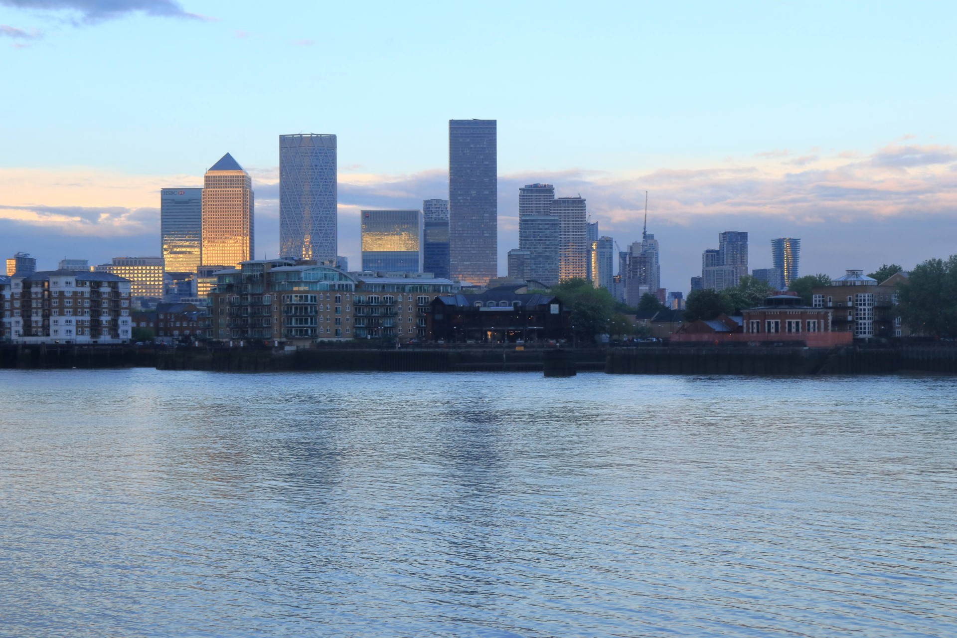
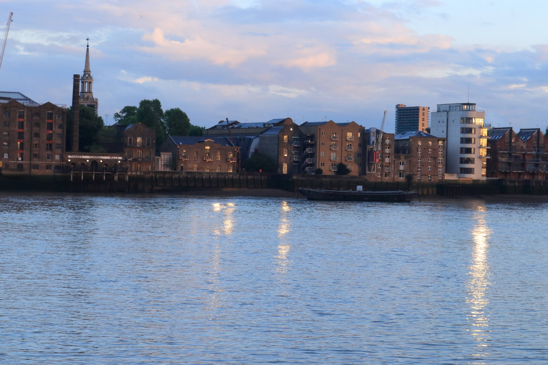
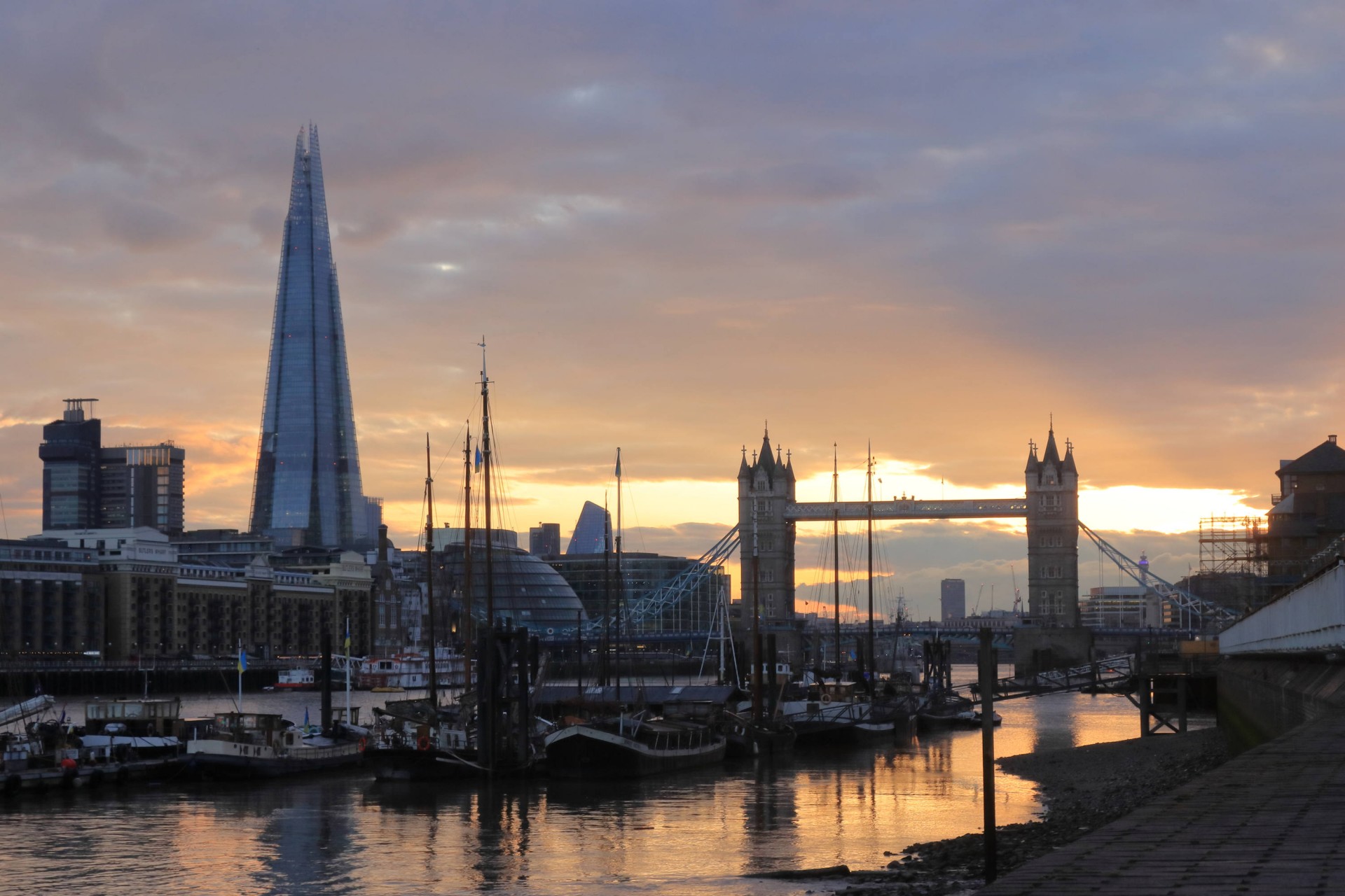
Light showers for the walk around the light (on) entertainment venue that is the London Stadium, getting heavier as we walked through Fish Island and along the Hertford Union Canal. Into Victoria Park for a well-earned comfort break and on through Mile End Park to Limehouse Basin. The sun arrived just in time to allow us to walk westward along the Thames into it as we approached Tower Bridge.
A big thank you to all who took part in the first of eight Stratford Social Walks this spring/summer. Looking forward to seeing you (and others) on the next instalment.
Photographs by Gavin Fuller
Other Files
Download Walk ReportGPX
A GPX file of the above route may be downloaded by clicking the link below.
Note: GPX files of Group Walks are created by LDWA Group members, and may be downloaded only by other LDWA members. They should not be made available outside the LDWA, and are used at members' own risk.
Login to Download (Members Only)You can use the interactive controls to zoom in and out and to move around the map, or click on a path or a marker for more info. (interactive map help)
You can use the interactive controls to zoom in and out and to move around the map, or click on a path or a marker for more info. (interactive map help)
© OpenStreetMap contributors under Open Database Licence
Rights of way data from selected Local Authorities
Large scale digital mapping is provided by John Thorn
At high zoom levels the route is indicative only.
Gallery
Maps:
You can use the interactive controls to zoom in and out and to move around the map, or click on a marker for more info. (interactive map help)
© OpenStreetMap contributors under Open Database Licence.
Rights of way data from selected Local Authorities.
Large scale digital mapping is provided by John Thorn.


