


Images of the Chiltern Hundred
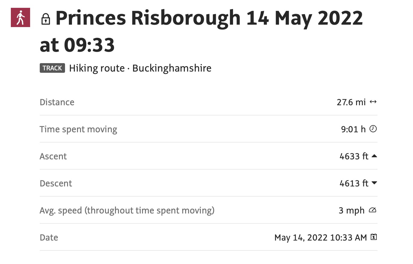
Sat 14th May 2022
Walk Details:
A hilly route partly following a previous 100
The walk is based on previous walks that I have led but there has not been a recent recce; there may be some surprises!
Entry Details:
Walk Report
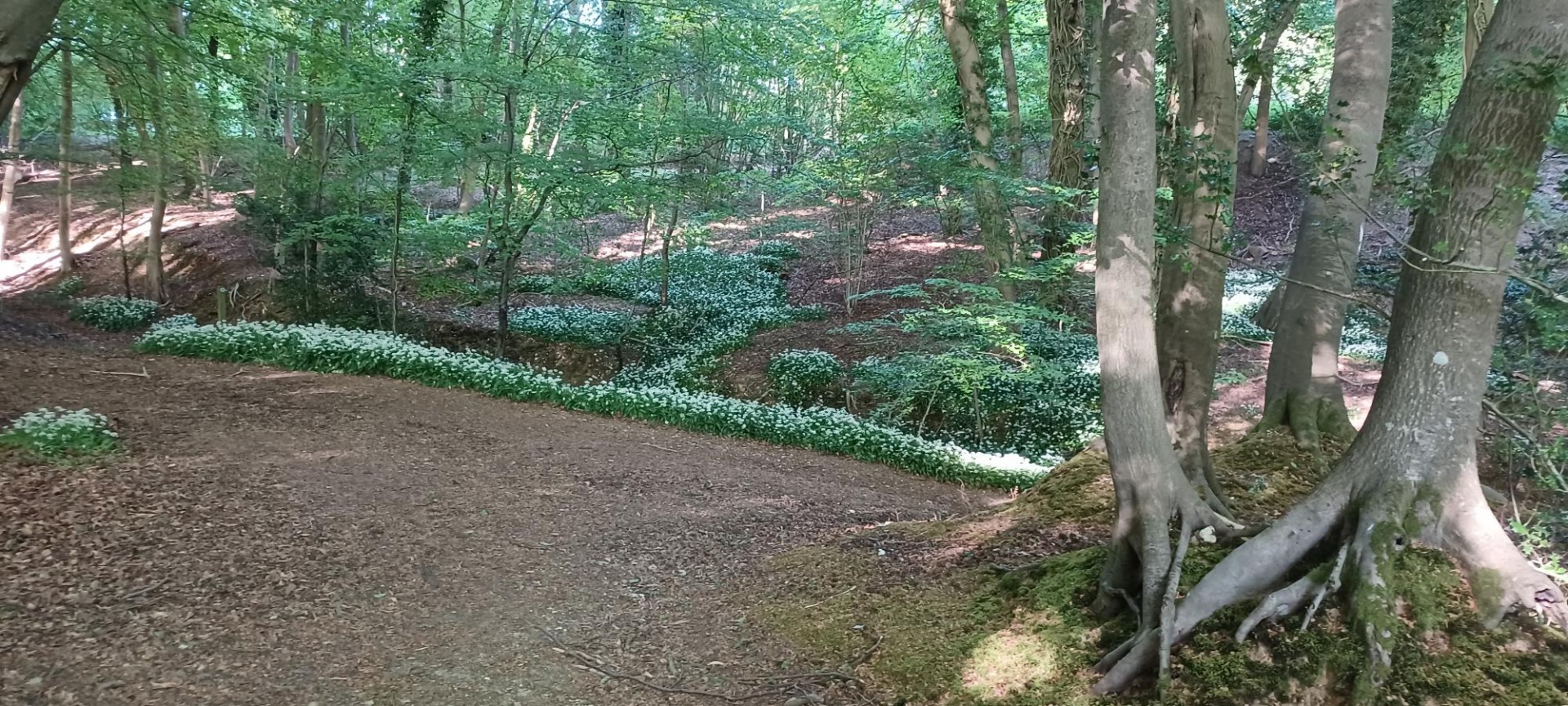
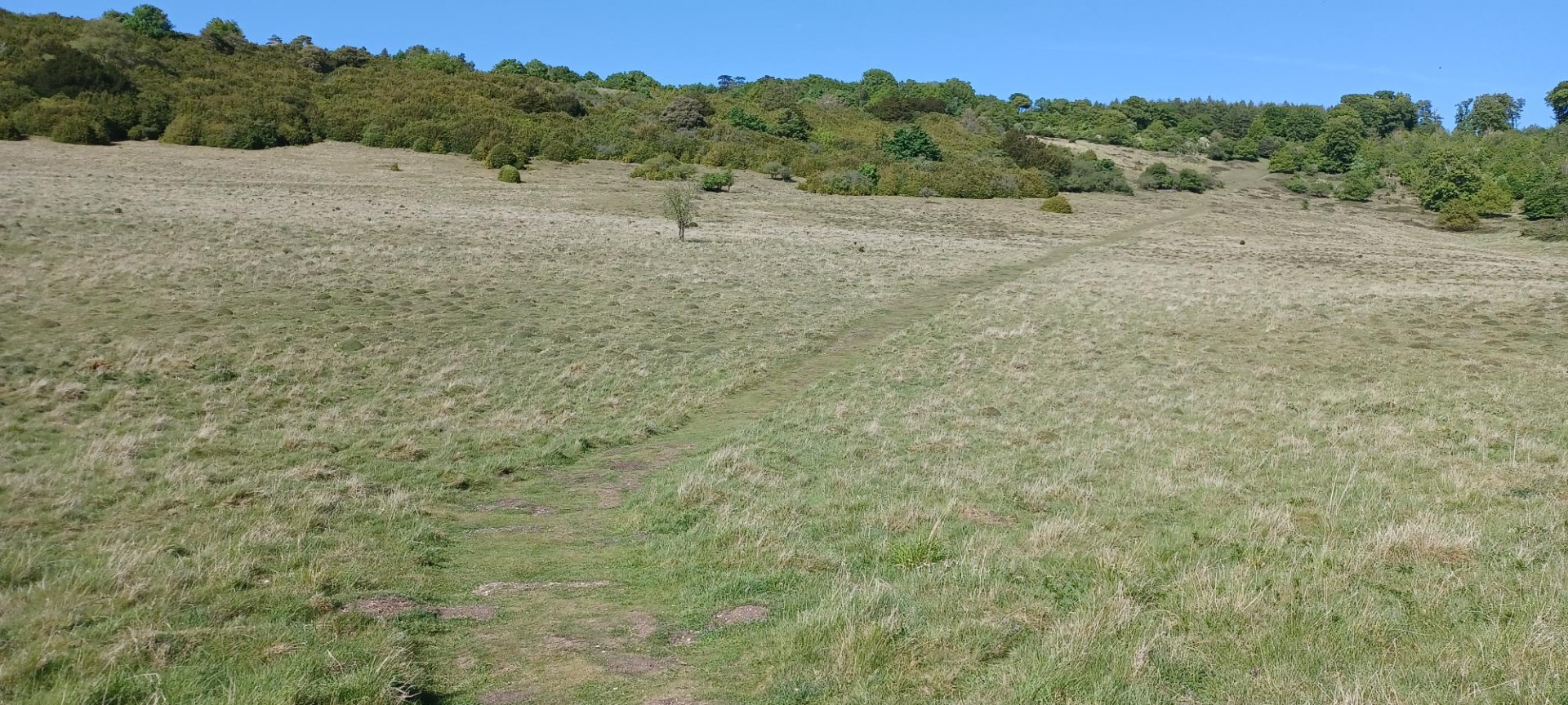
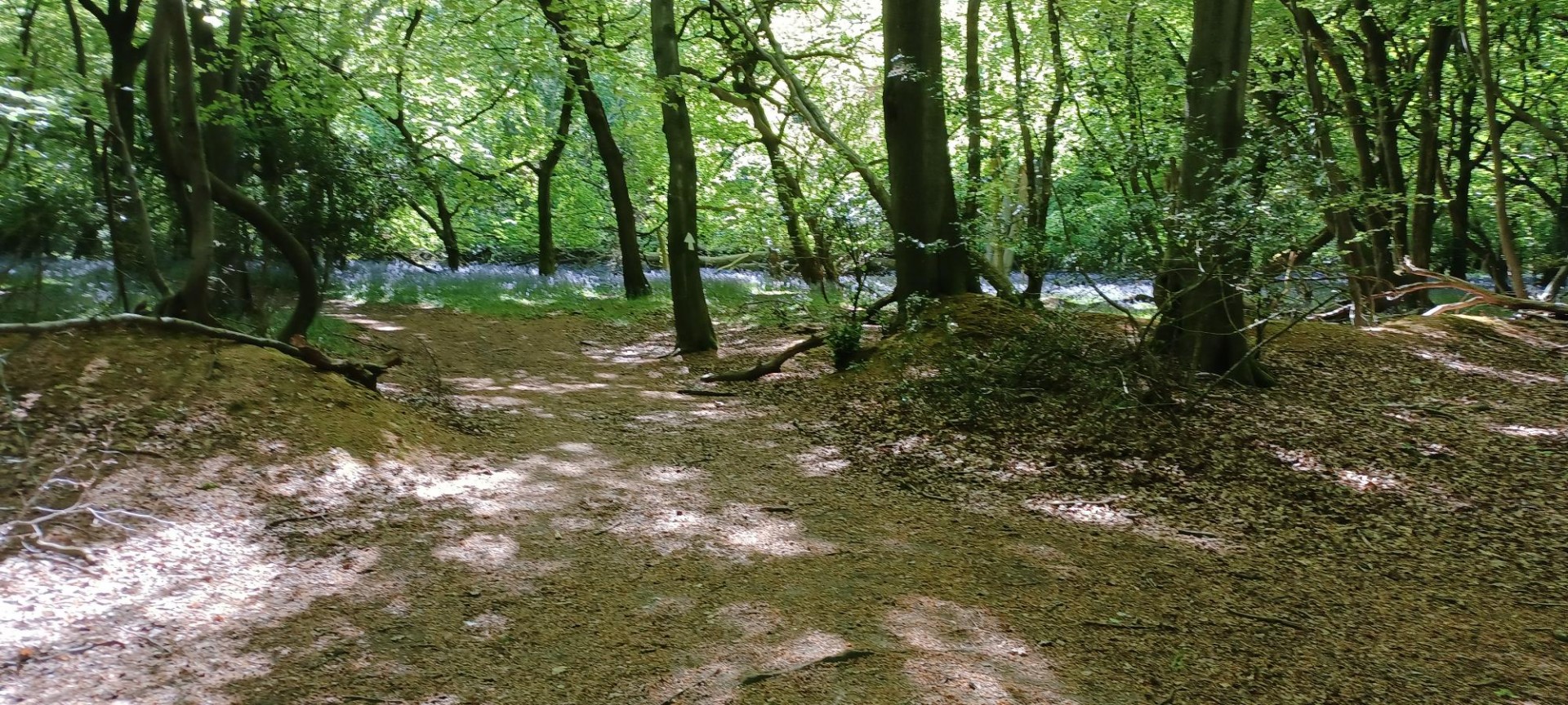
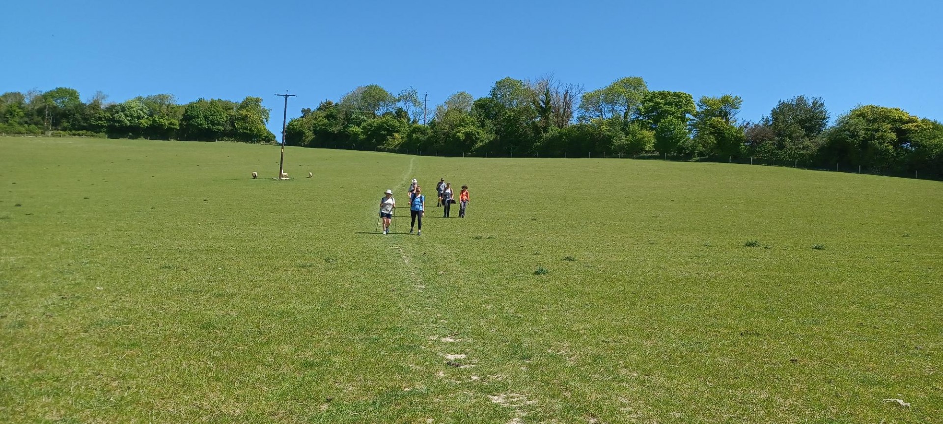
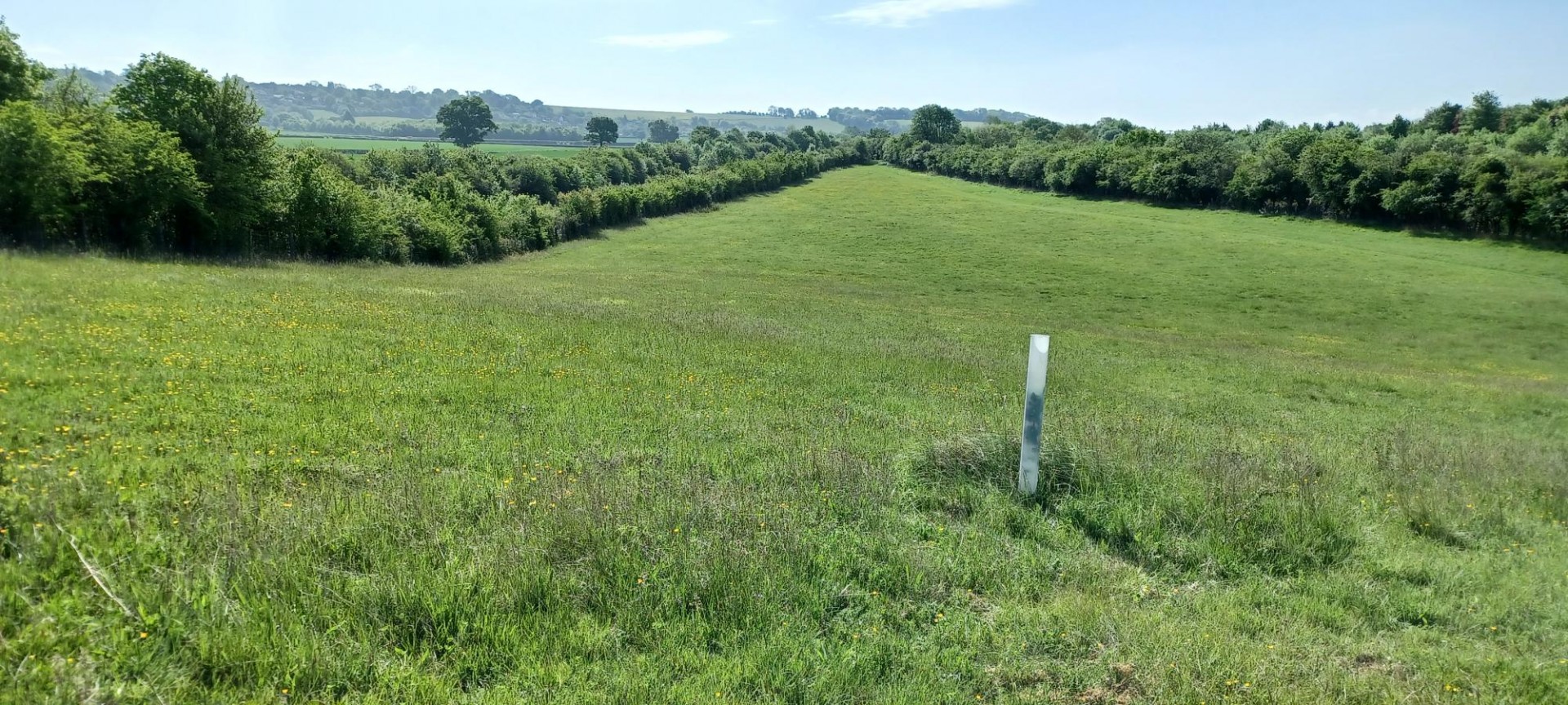
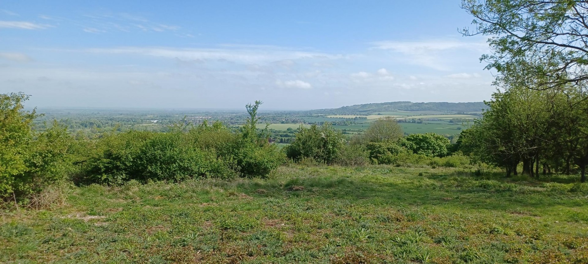
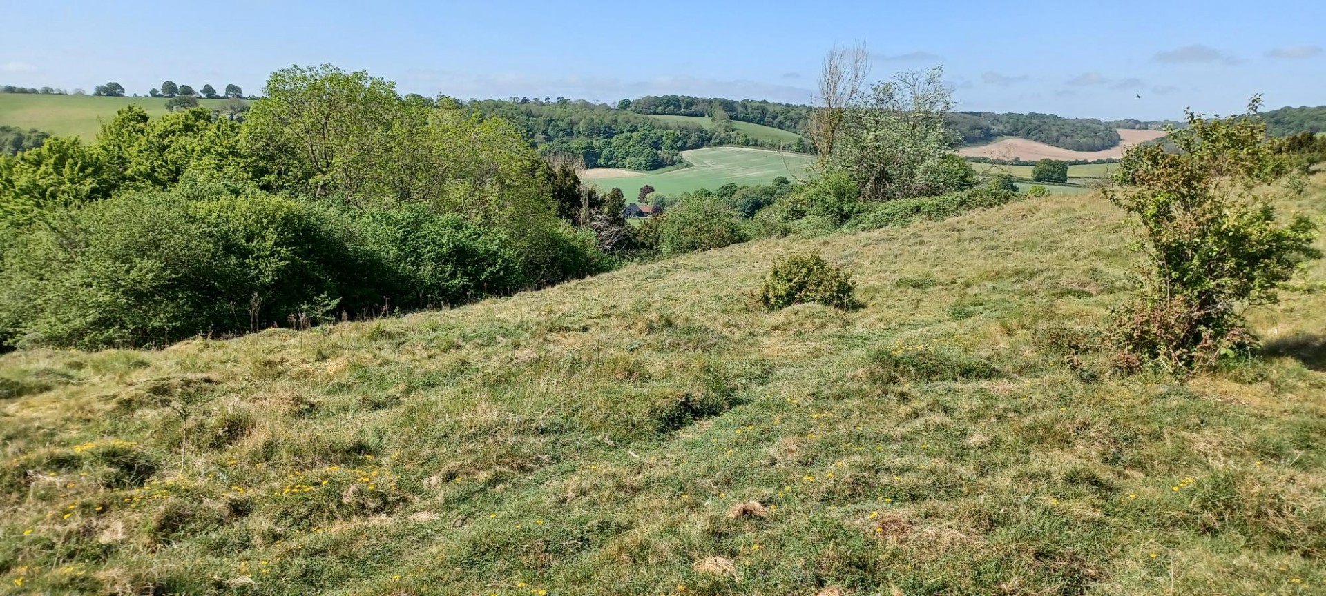
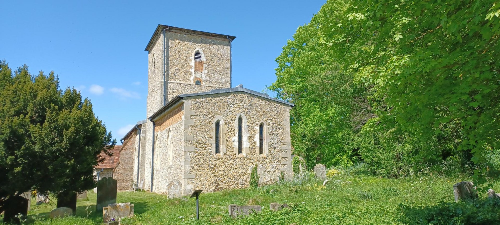
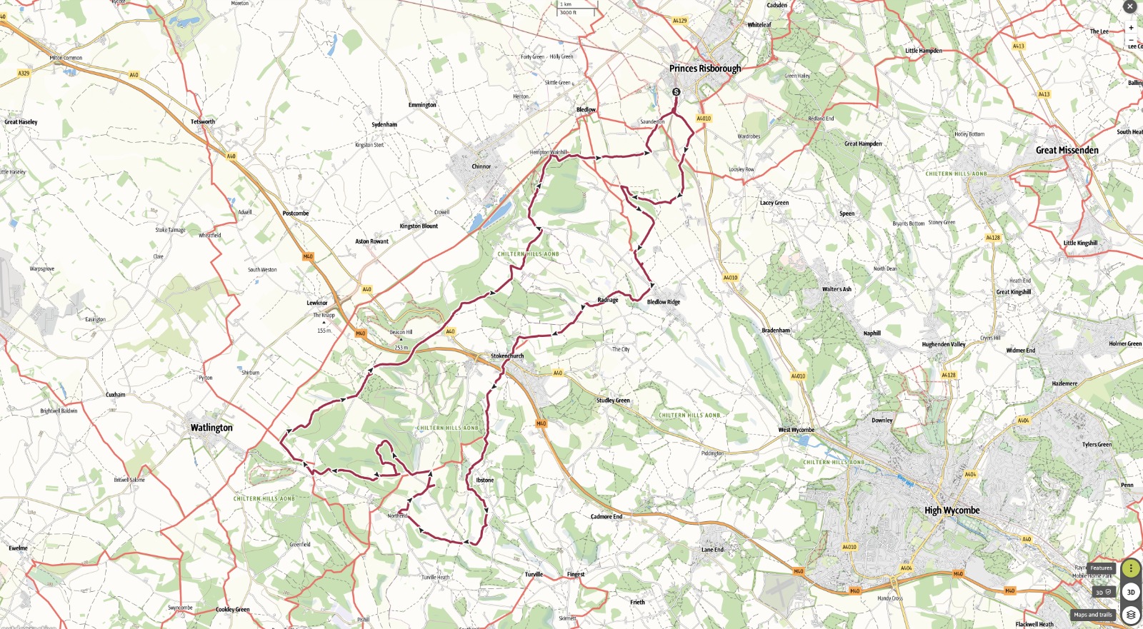
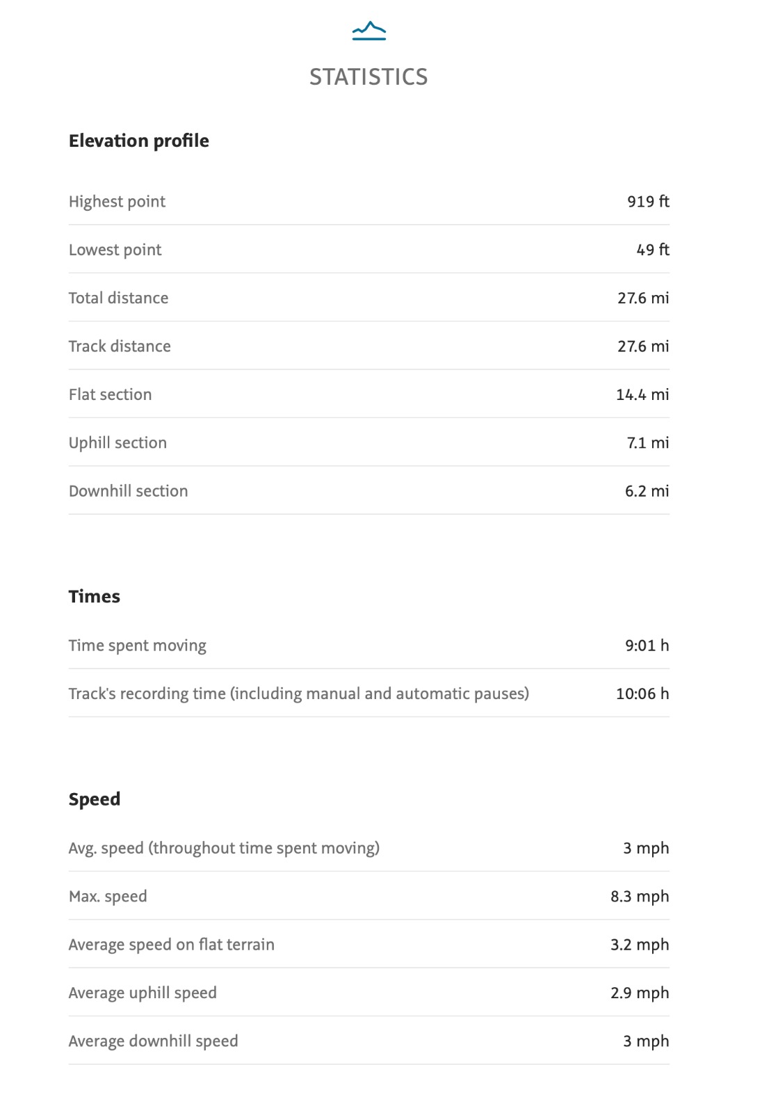
9 walkers, 28 miles - leader Jerome RippThis was a return to part of the 2005 Chiltern Landmarks 100 which I had walked in supporting 2 London Group members. A glorious spring day with the last of the bluebells and some splendid woods of wild garlic. The walk used parts of the Ridgeway, Chiltern Way, Icknield Way and Oxfordshire Way. South over Lodge Hill, Bledlow Ridge, through Stokenchurch to the isolated church south of Ibstone Common for lunch. West though the Wormsley estate and the hilly region below the M40. 3 walkers were training for a 50km Lake District challenge and the leader magnanimously extended the planned 22 miles to give then a good rehearsal and even incorporated some SAS training in virgin woodlands. We never met any other walkers or indeed people all day and all was revealed when our late return train stopped at Wembley and we were invaded.
Photographs by Jerome Ripp
Other Files
Download Walk ReportGPX
A GPX file of the above route may be downloaded by clicking the link below.
Note: GPX files of Group Walks are created by LDWA Group members, and may be downloaded only by other LDWA members. They should not be made available outside the LDWA, and are used at members' own risk.
Login to Download (Members Only)You can use the interactive controls to zoom in and out and to move around the map, or click on a path or a marker for more info. (interactive map help)
You can use the interactive controls to zoom in and out and to move around the map, or click on a path or a marker for more info. (interactive map help)
© OpenStreetMap contributors under Open Database Licence
Rights of way data from selected Local Authorities
Large scale digital mapping is provided by John Thorn
At high zoom levels the route is indicative only.
Gallery
Maps:
You can use the interactive controls to zoom in and out and to move around the map, or click on a marker for more info. (interactive map help)
© OpenStreetMap contributors under Open Database Licence.
Rights of way data from selected Local Authorities.
Large scale digital mapping is provided by John Thorn.


