


The Brockley Three Peaks
Wed 18th May 2022
Walk Details:
We take in the Brockley Three Peaks followed by a walk along the Waterlink Way to Kent House station
Entry Details:
Walk Report
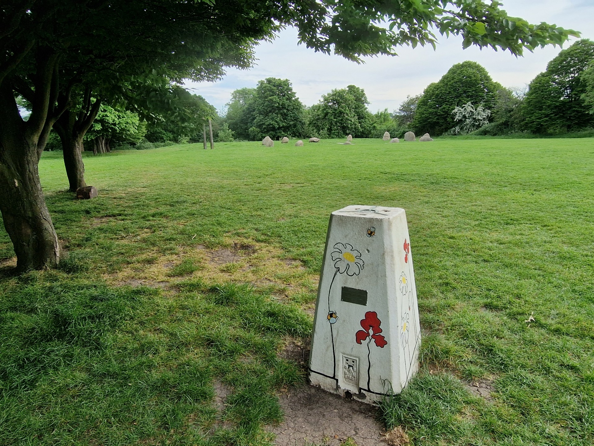
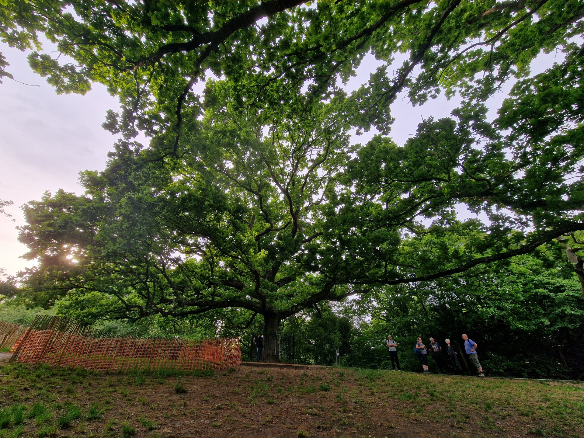
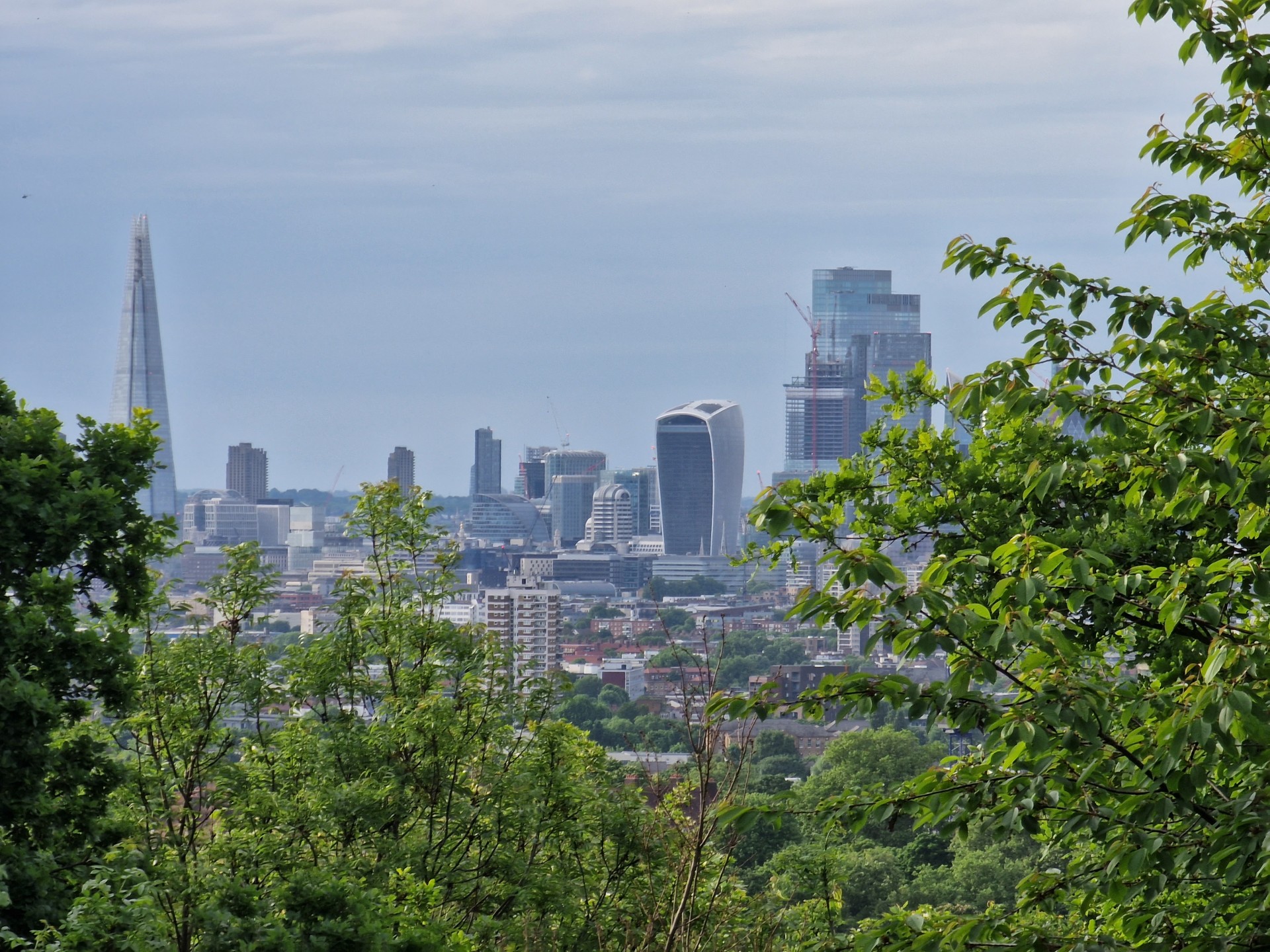
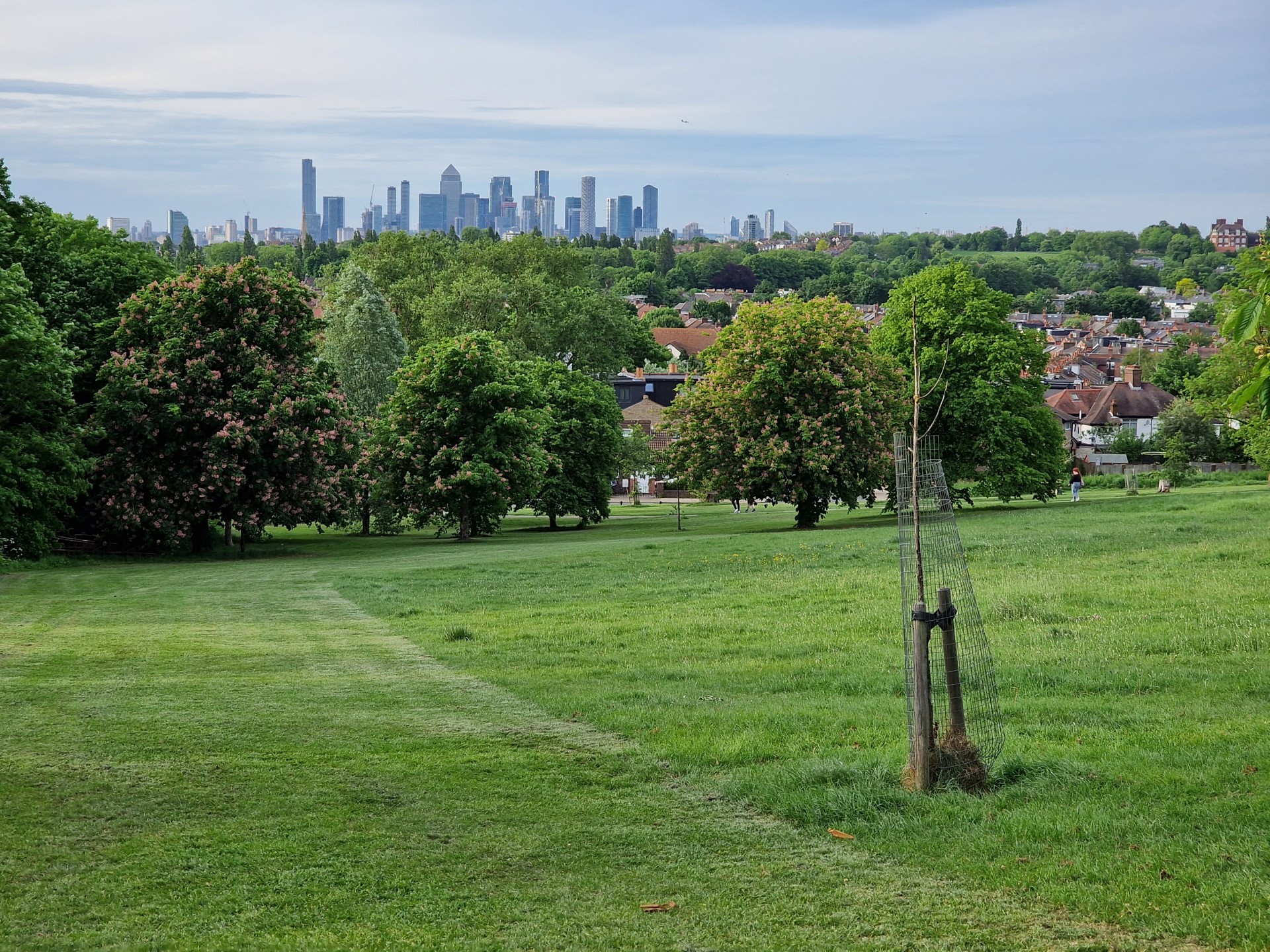
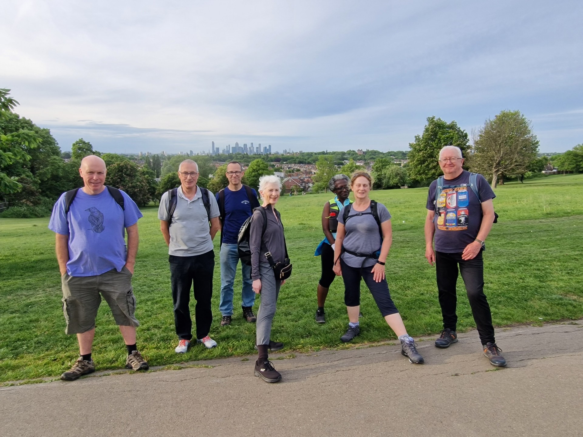
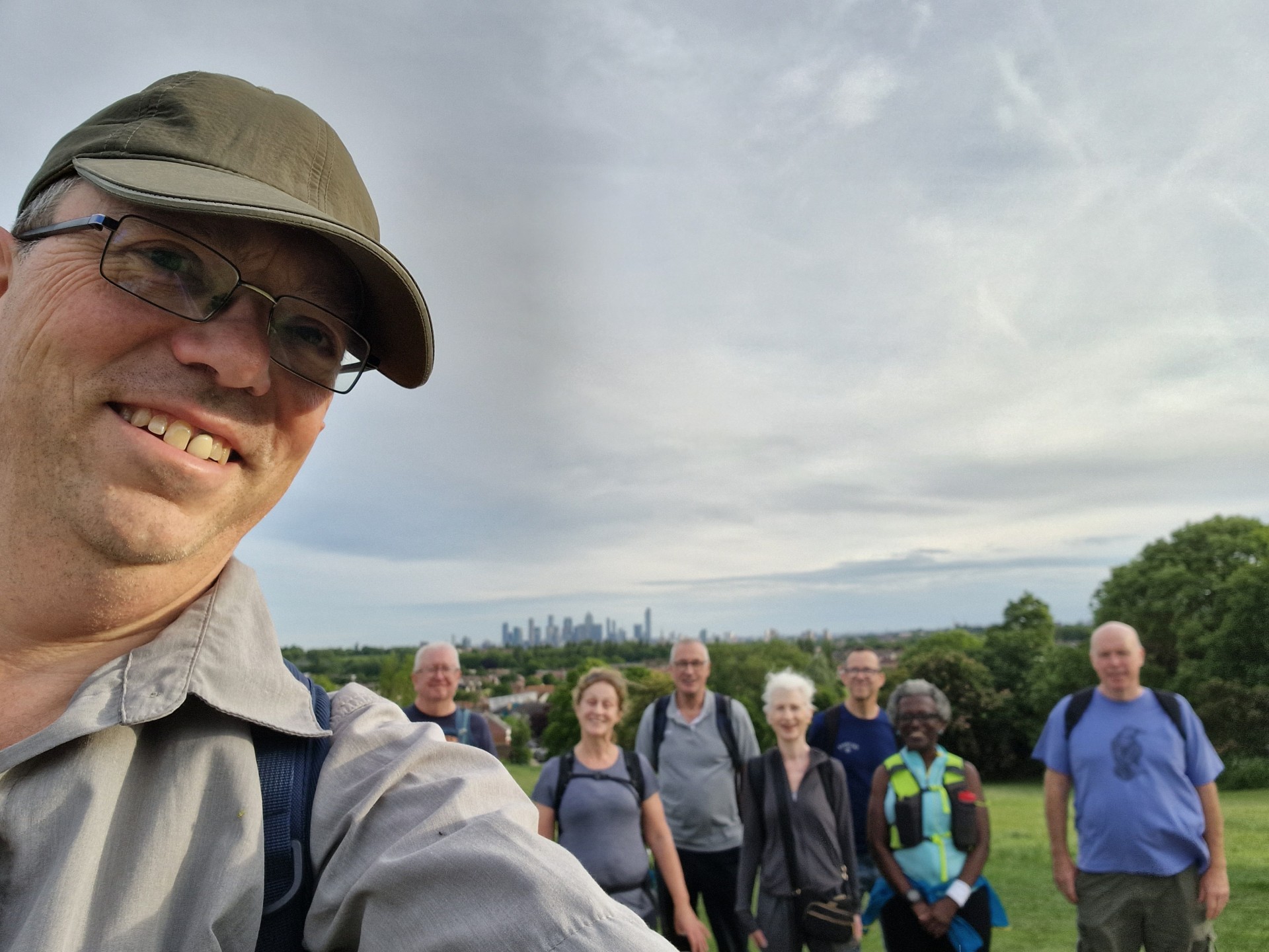
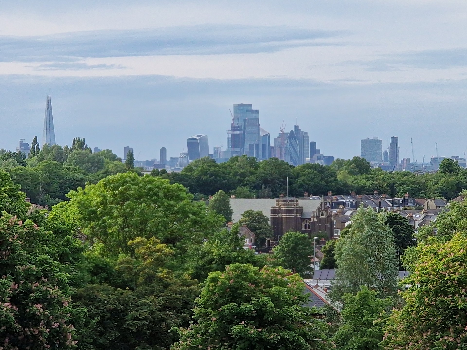
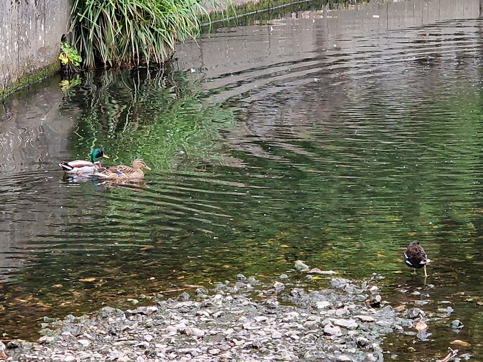
8 walkers, 7.2 miles - leader John ShorttWeather conditions were perfect for this walk in south London. Sunny but not too hot. The group set off from Lewisham station to tackle the Brockley Three Peaks. First was the ascent of Hilly Fields with its stone circle and classic school building. Then on to One Tree Hill where Queen Elizabeth I once stopped for refreshments. The third peak was Blythe Hill where there are excellent views across London. The route then followed the Pool River to the finish at Kent House station. A pleasant summer evening walk with some very nice people.
Photographs by Gavin Fuller
Other Files
Download Walk ReportGPX
A GPX file of the above route may be downloaded by clicking the link below.
Note: GPX files of Group Walks are created by LDWA Group members, and may be downloaded only by other LDWA members. They should not be made available outside the LDWA, and are used at members' own risk.
Login to Download (Members Only)You can use the interactive controls to zoom in and out and to move around the map, or click on a path or a marker for more info. (interactive map help)
You can use the interactive controls to zoom in and out and to move around the map, or click on a path or a marker for more info. (interactive map help)
© OpenStreetMap contributors under Open Database Licence
Rights of way data from selected Local Authorities
Large scale digital mapping is provided by John Thorn
At high zoom levels the route is indicative only.
Gallery
Maps:
You can use the interactive controls to zoom in and out and to move around the map, or click on a marker for more info. (interactive map help)
© OpenStreetMap contributors under Open Database Licence.
Rights of way data from selected Local Authorities.
Large scale digital mapping is provided by John Thorn.


