


Treble top
Wed 11th May 2022
Walk Details:
We head up to Wimbledon Common via the borough top of Merton, cross the Common to that of Wandsworth, and then make a crossing of Richmond Park to take in Richmond's, before descending to the Thames to take us into Richmond itself
Entry Details:
Walk Report
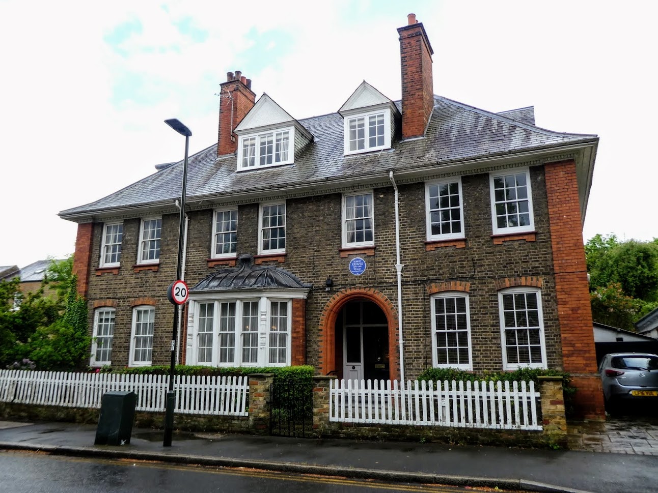
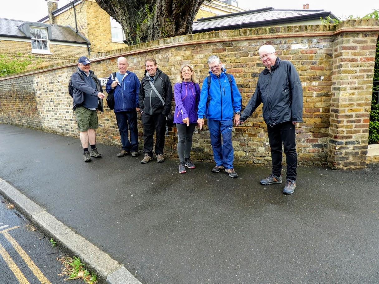
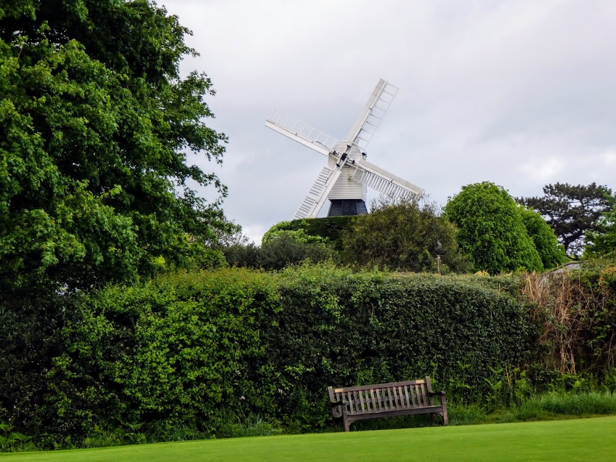
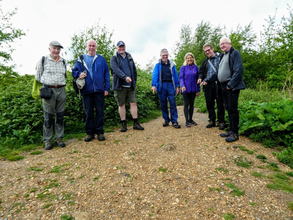
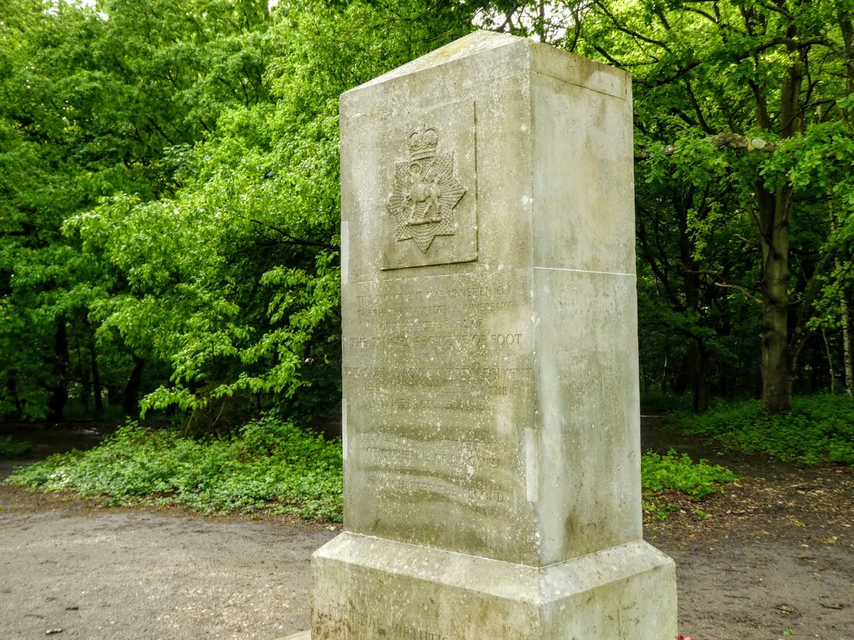
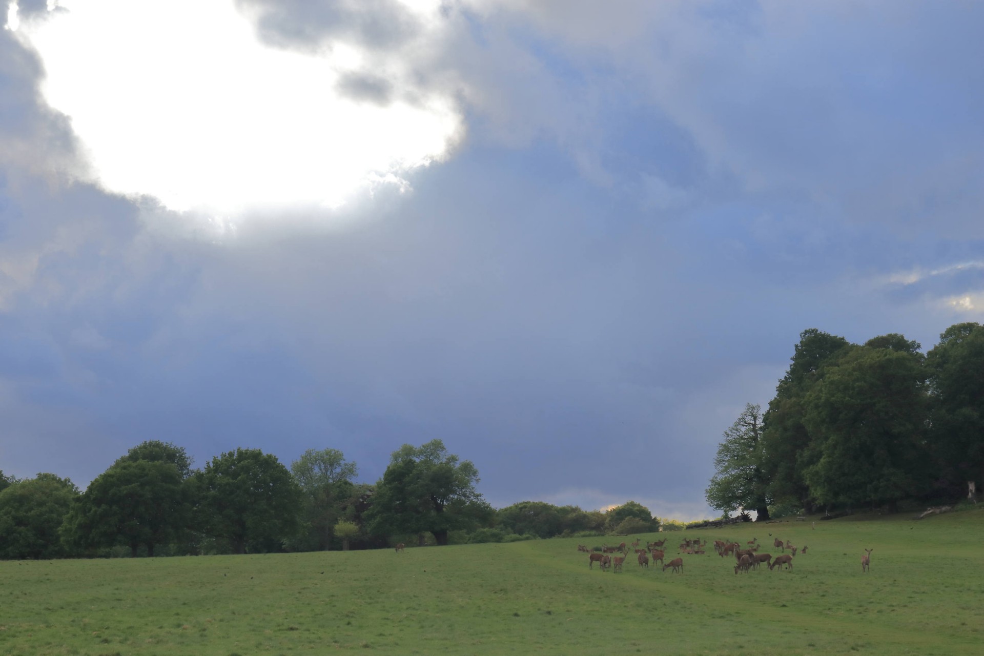
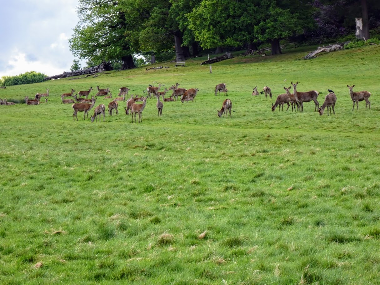
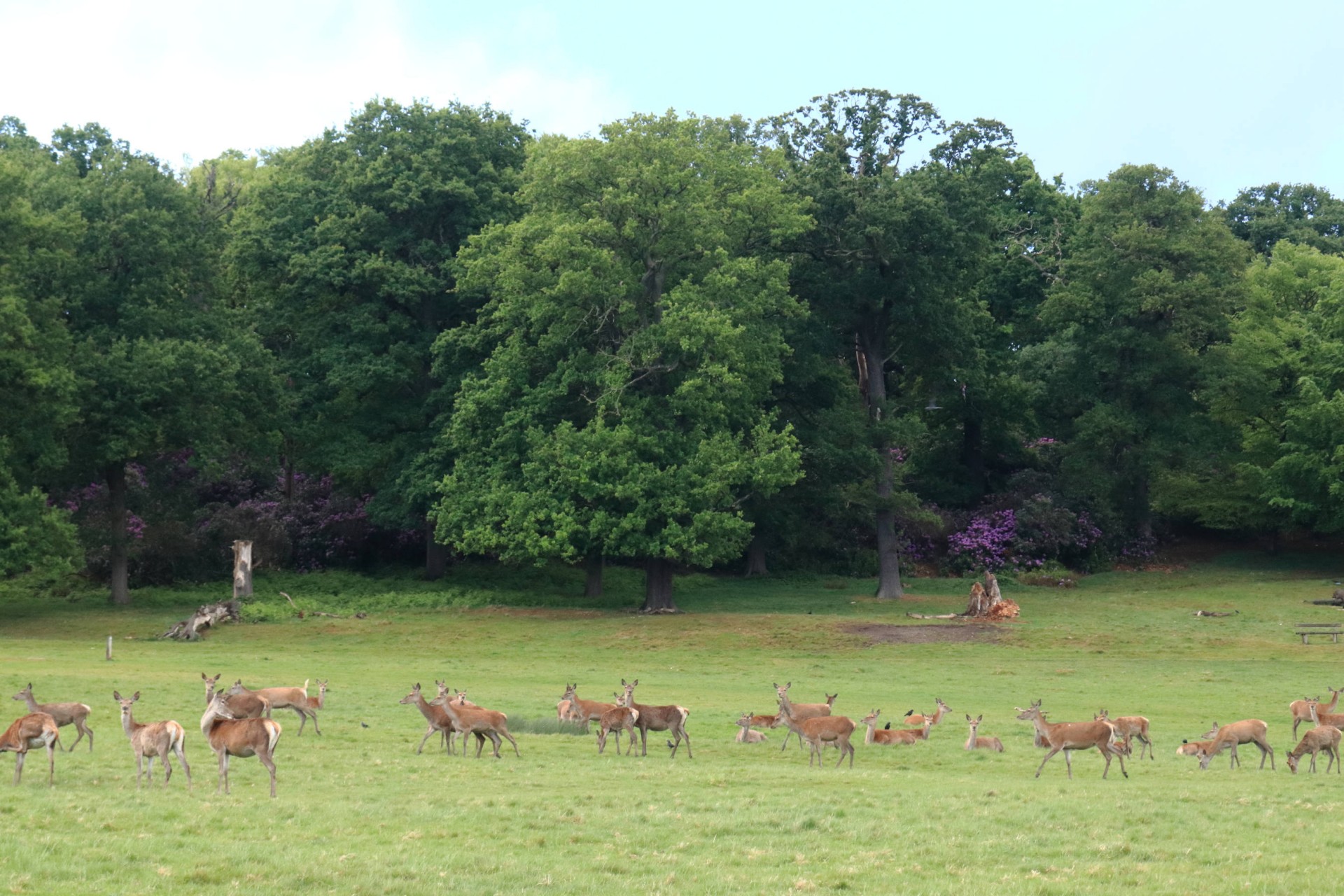
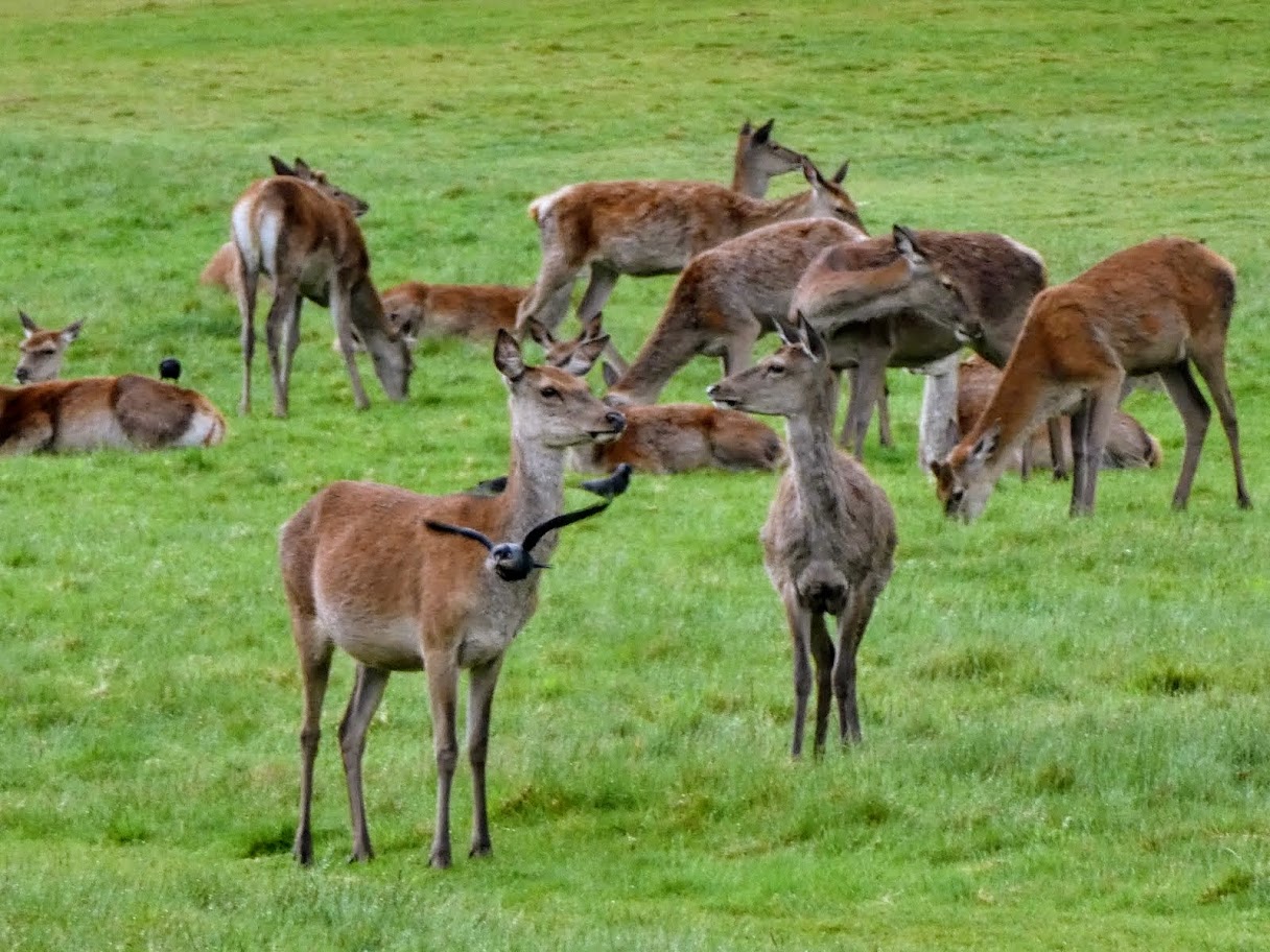
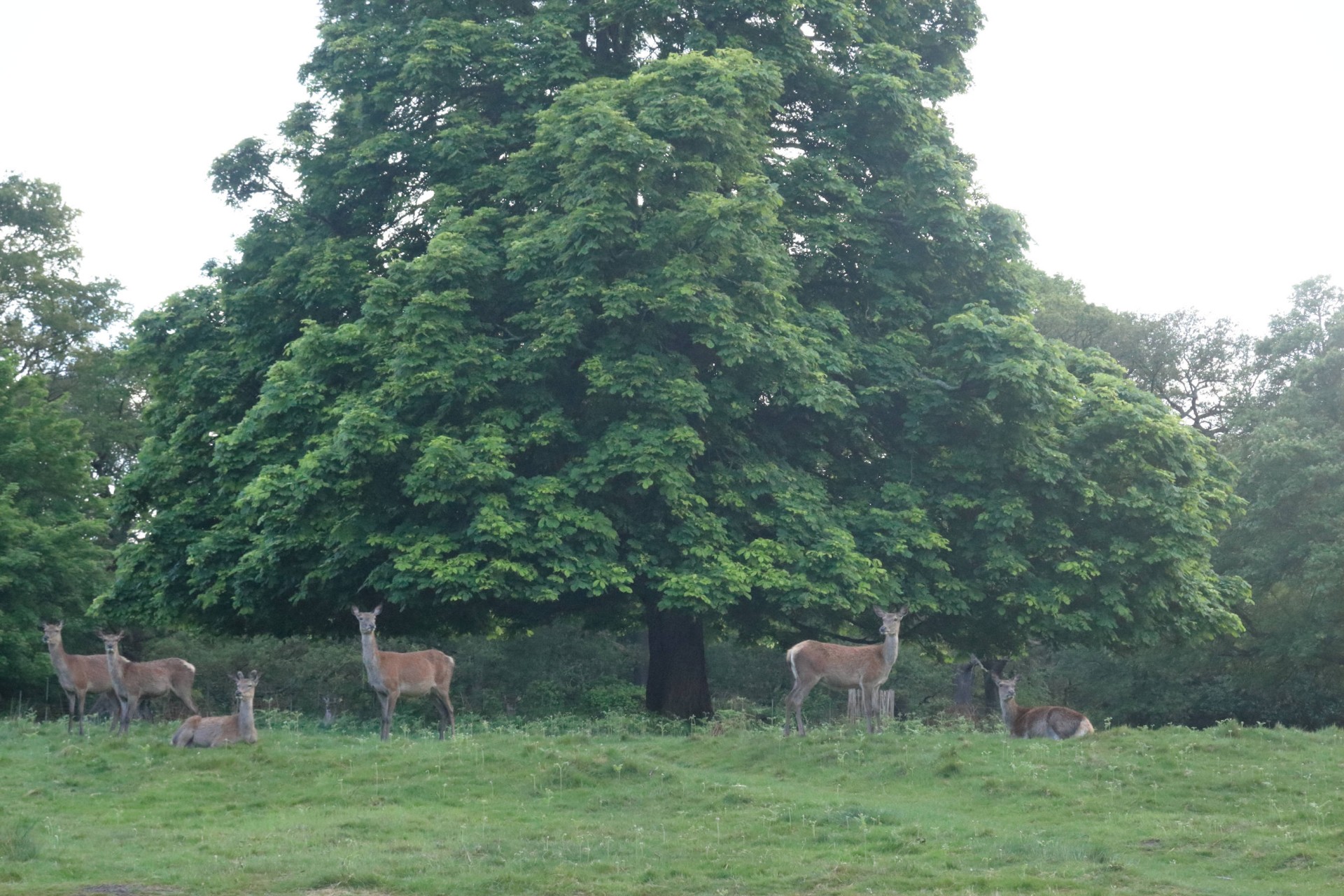
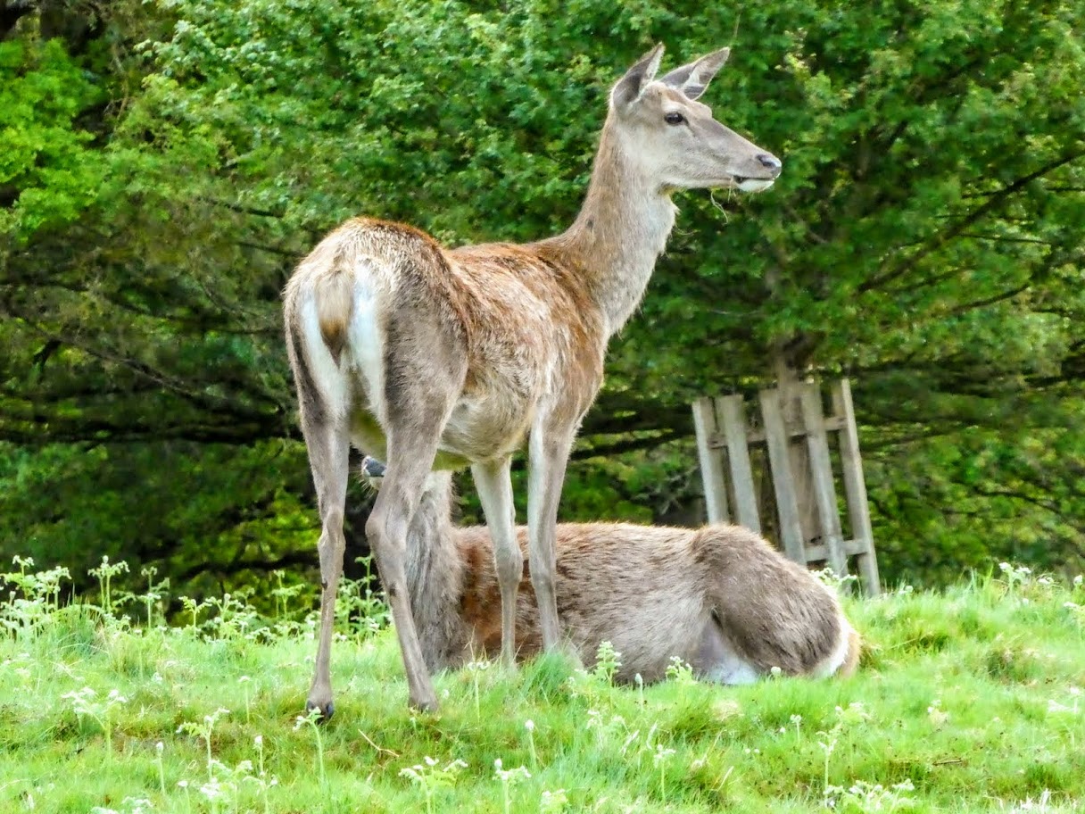
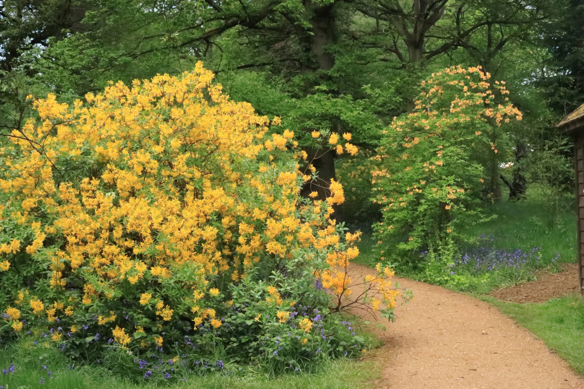
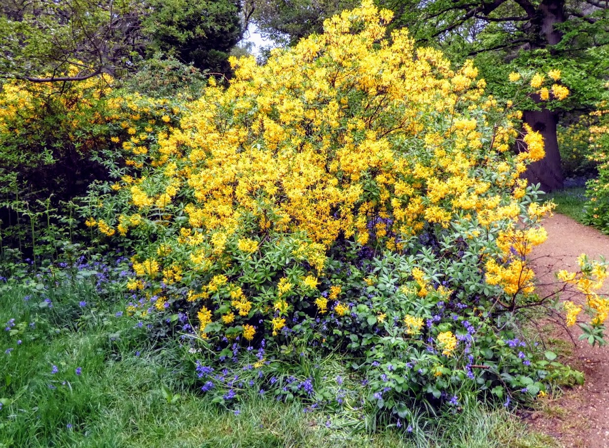
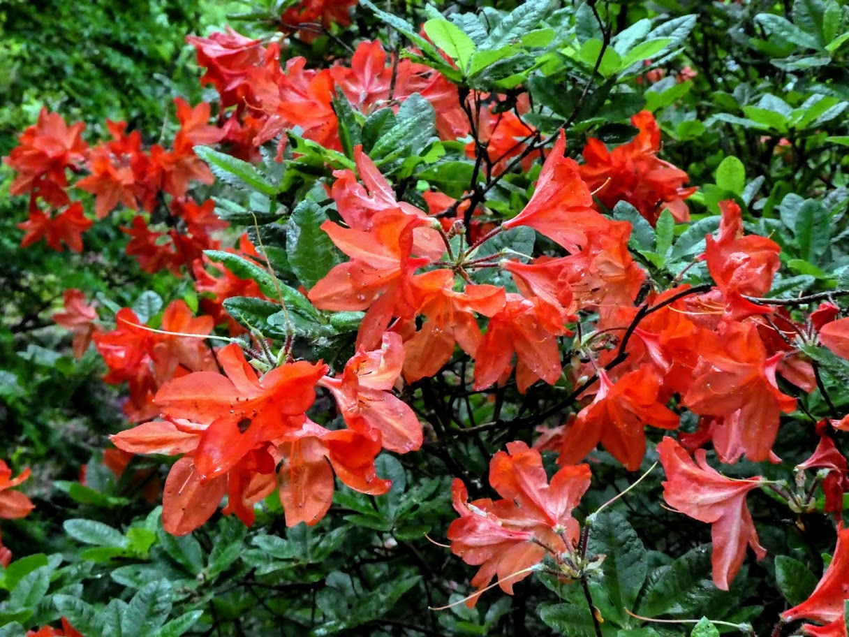
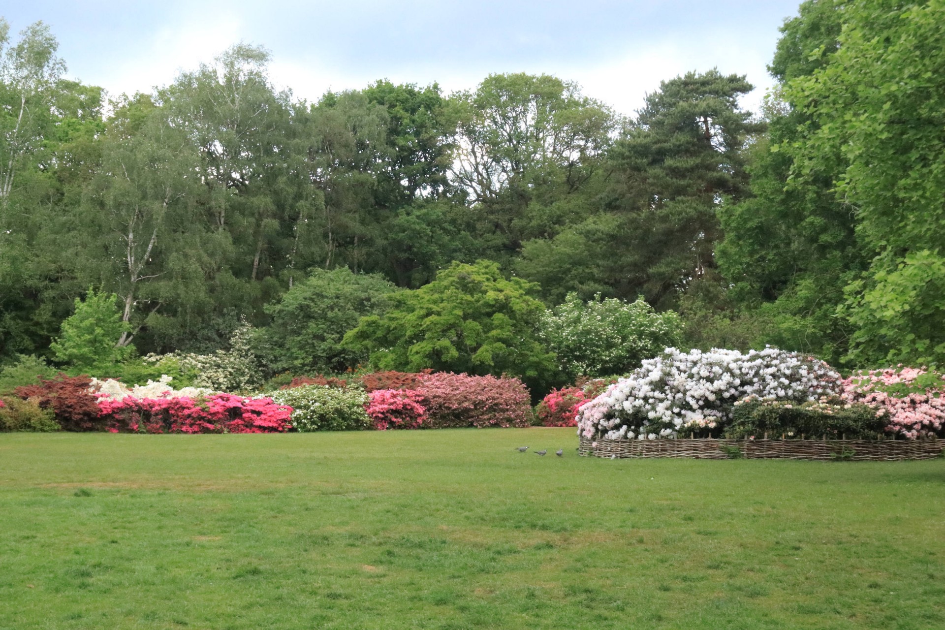
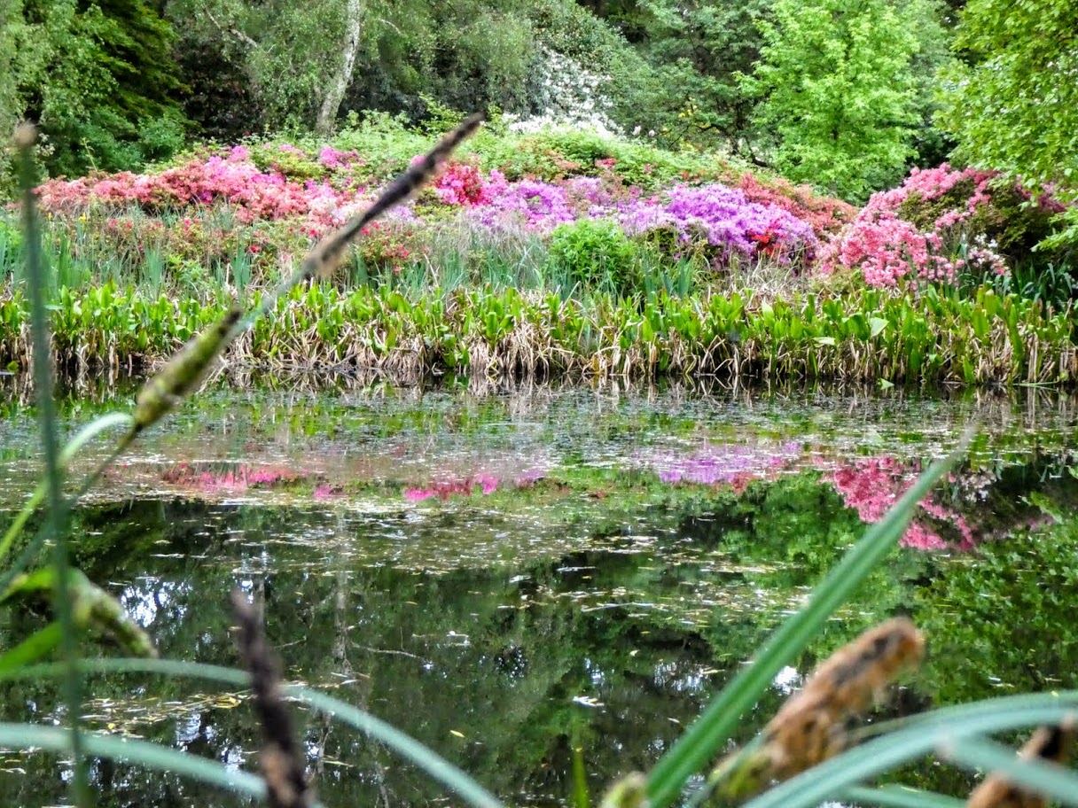
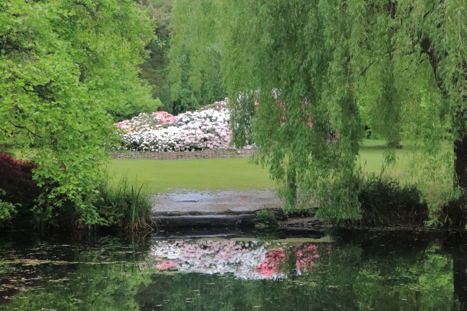
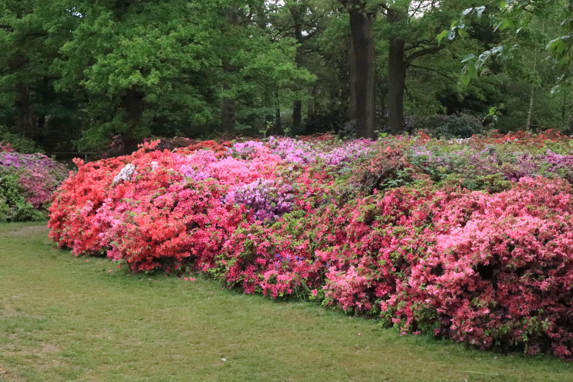
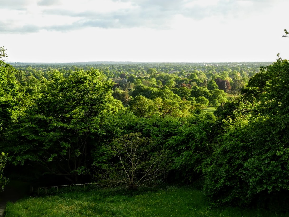
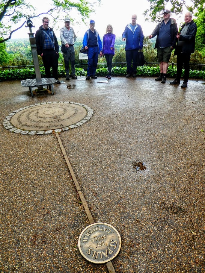
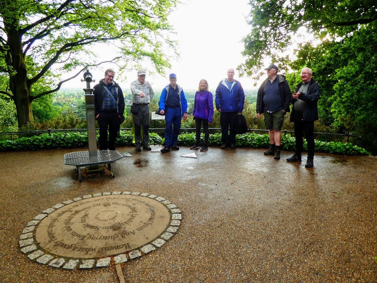
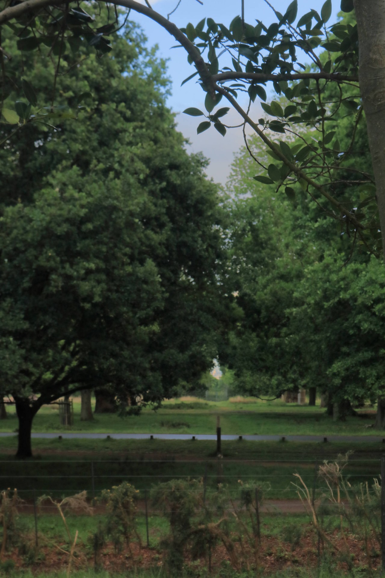
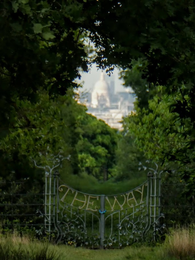
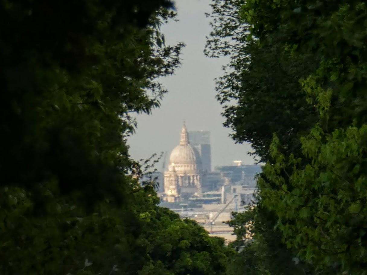
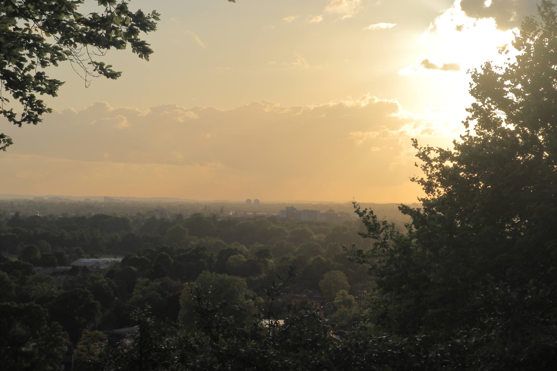
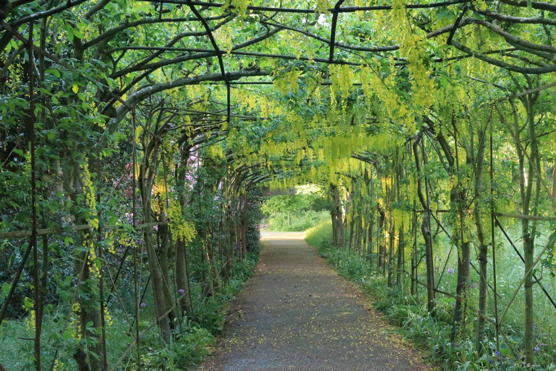
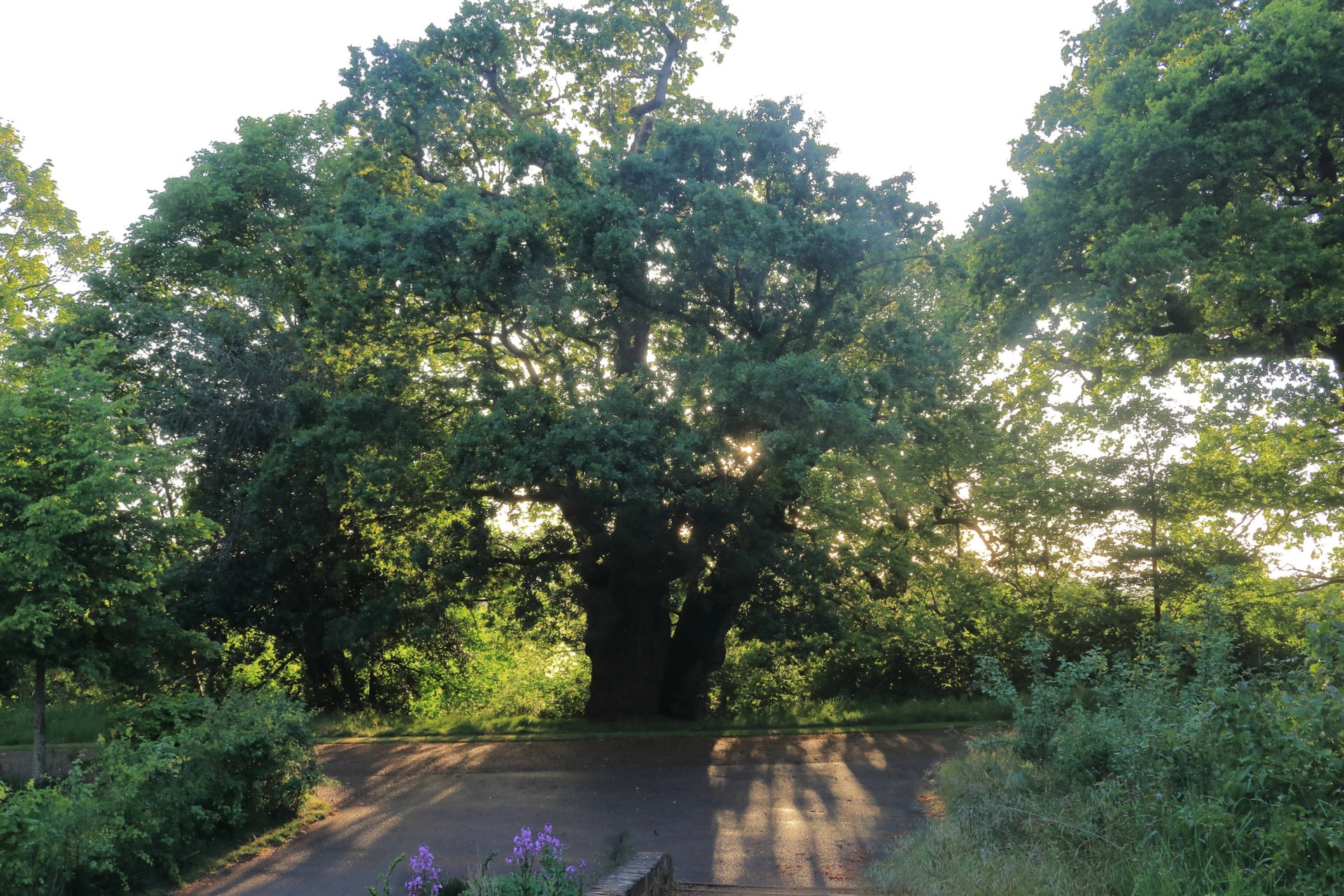
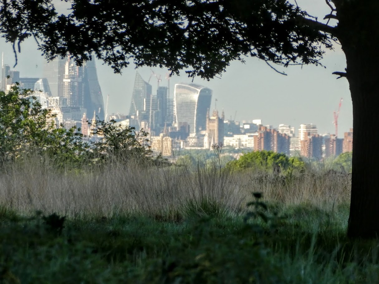
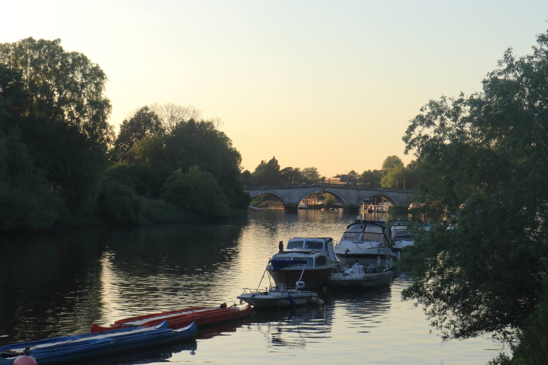
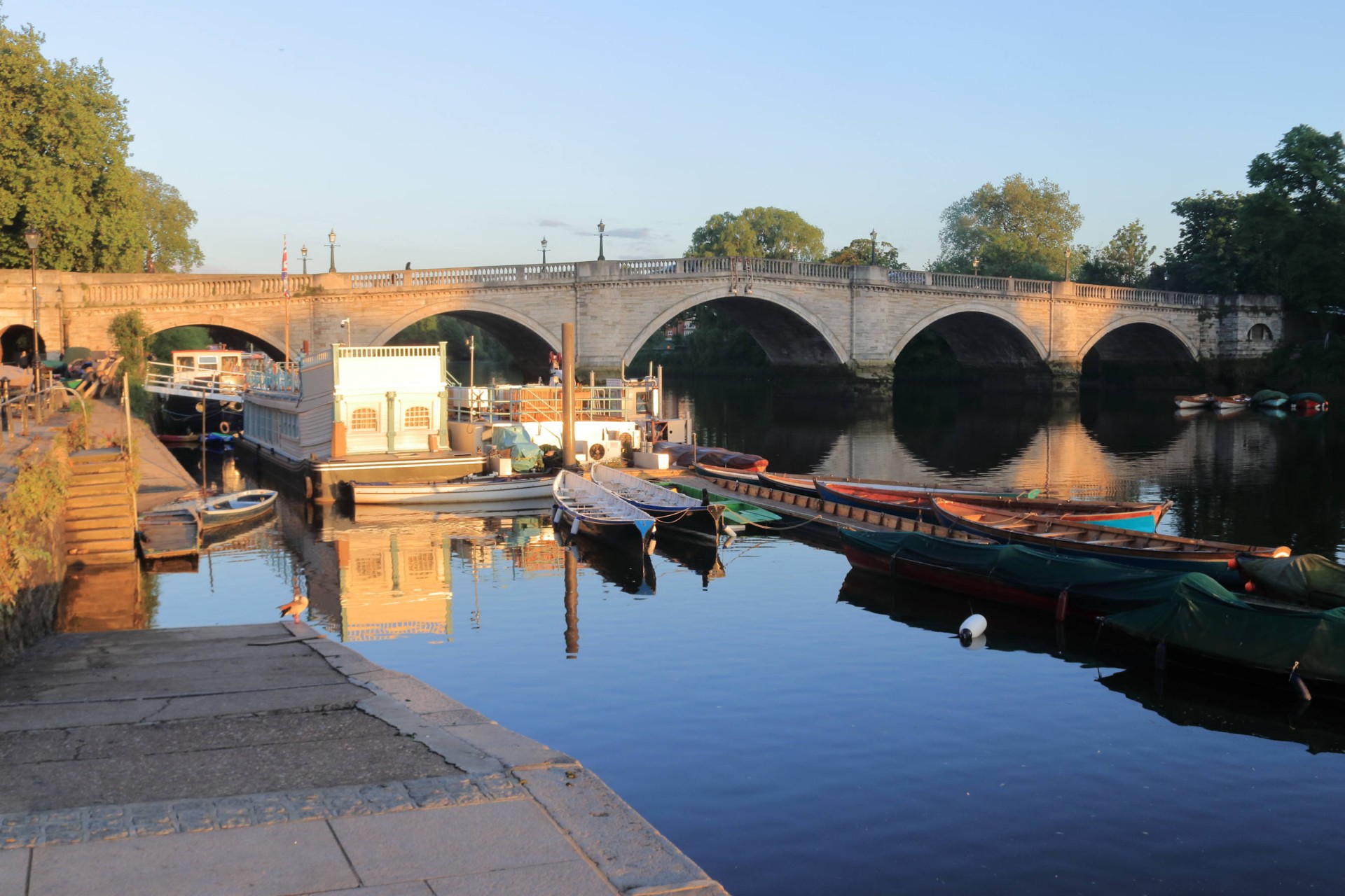
8 walkers, 8.25 miles - leader Gavin FullerThe group assembling at the start at Wimbledon station had the distinctly unpromising sight of torrential rain to greet them, which fortunately had cleared by the time the station was left, although it left conditions underfoot considerably damper than most had been used to of late. After a tarmacked wander through Wimbledon past the birthplace of writer Robert Graves to the highest point of the borough of Merton, it was across Wimbledon Common and Putney Heath taking in Wandsworth's top and the Tangier Regiment of Foot Memorial en route before entering Richmond Park by the clearly lesser-used entrance of Chohole Gate given we didn't see anybody on the long straight path from the golf club entrance into the park. In the park the deer very kindly had stationed themselves along the route across, giving the group plenty of views of them, whilst the Isabella Plantation proved a highlight in all its springtime finery. As we reached our third borough top of the evening at King Henry's Mound the skies cleared, and St Paul's was clearly visible in the evening sunlight at the far end of the famous keyhole view. Then it was down to a Thames sparkling in the sunshine making a glorious end to an enjoyable walk to Richmond.
Photographs by Paul Lawrence and Gavin Fuller
Other Files
Download Walk ReportGPX
A GPX file of the above route may be downloaded by clicking the link below.
Note: GPX files of Group Walks are created by LDWA Group members, and may be downloaded only by other LDWA members. They should not be made available outside the LDWA, and are used at members' own risk.
Login to Download (Members Only)You can use the interactive controls to zoom in and out and to move around the map, or click on a path or a marker for more info. (interactive map help)
You can use the interactive controls to zoom in and out and to move around the map, or click on a path or a marker for more info. (interactive map help)
© OpenStreetMap contributors under Open Database Licence
Rights of way data from selected Local Authorities
Large scale digital mapping is provided by John Thorn
At high zoom levels the route is indicative only.
Gallery
Maps:
You can use the interactive controls to zoom in and out and to move around the map, or click on a marker for more info. (interactive map help)
© OpenStreetMap contributors under Open Database Licence.
Rights of way data from selected Local Authorities.
Large scale digital mapping is provided by John Thorn.


