


LDWA 50th Anniversary Weekend Day 2
Sun 19th Jun 2022
Walk Details:
Meandering across central London to Victoria taking in at least 50 locations which have the suffix square on a street plate/address
Entry Details:
Walk Report
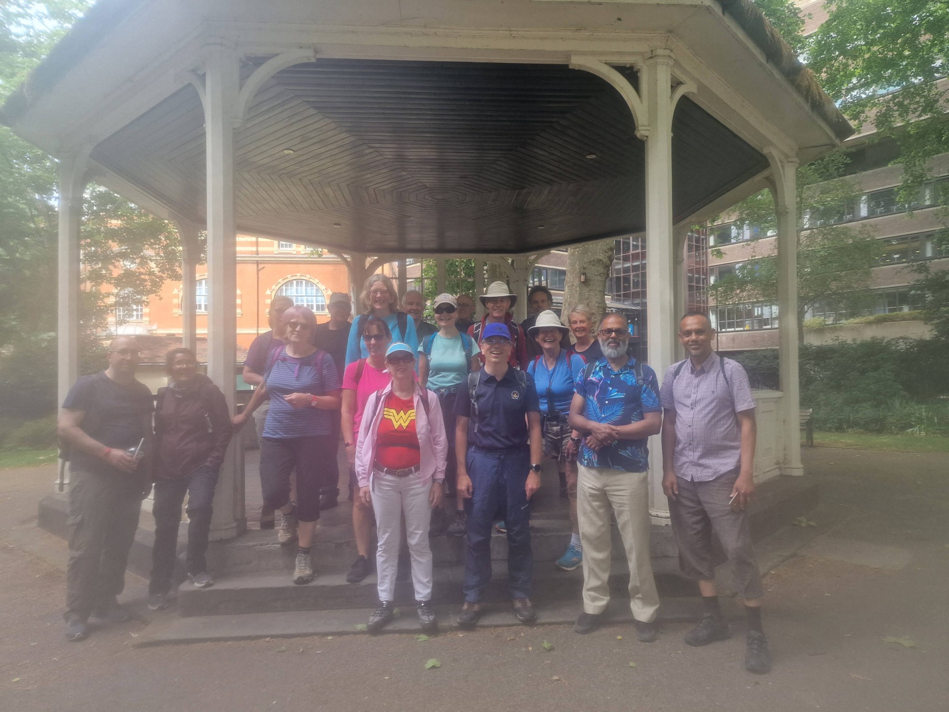
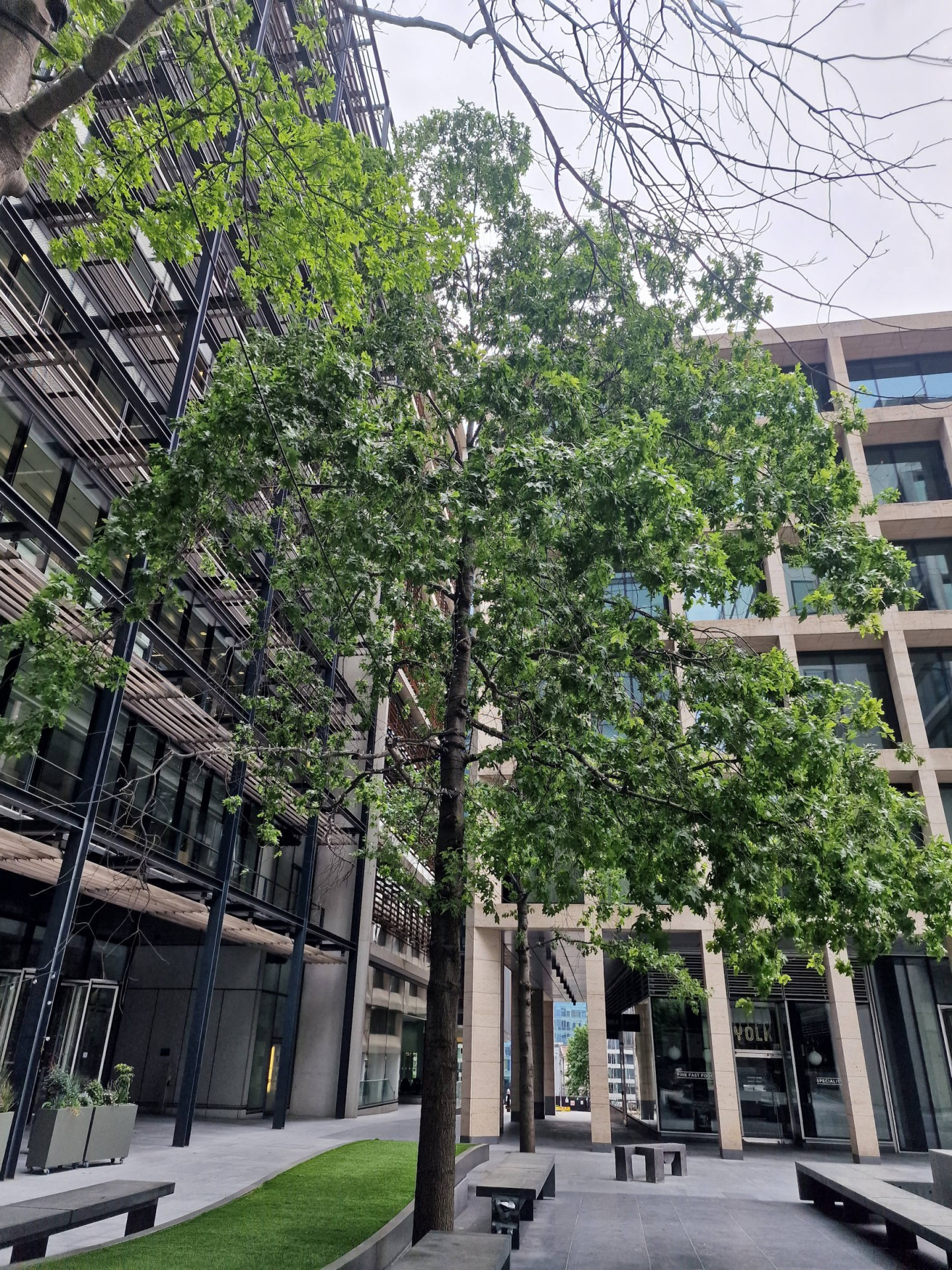
LDWA Big 50 Walk - 50 London Squares, Sunday 19th June 202220 walkers, 21.8 miles - leader Gavin Fuller
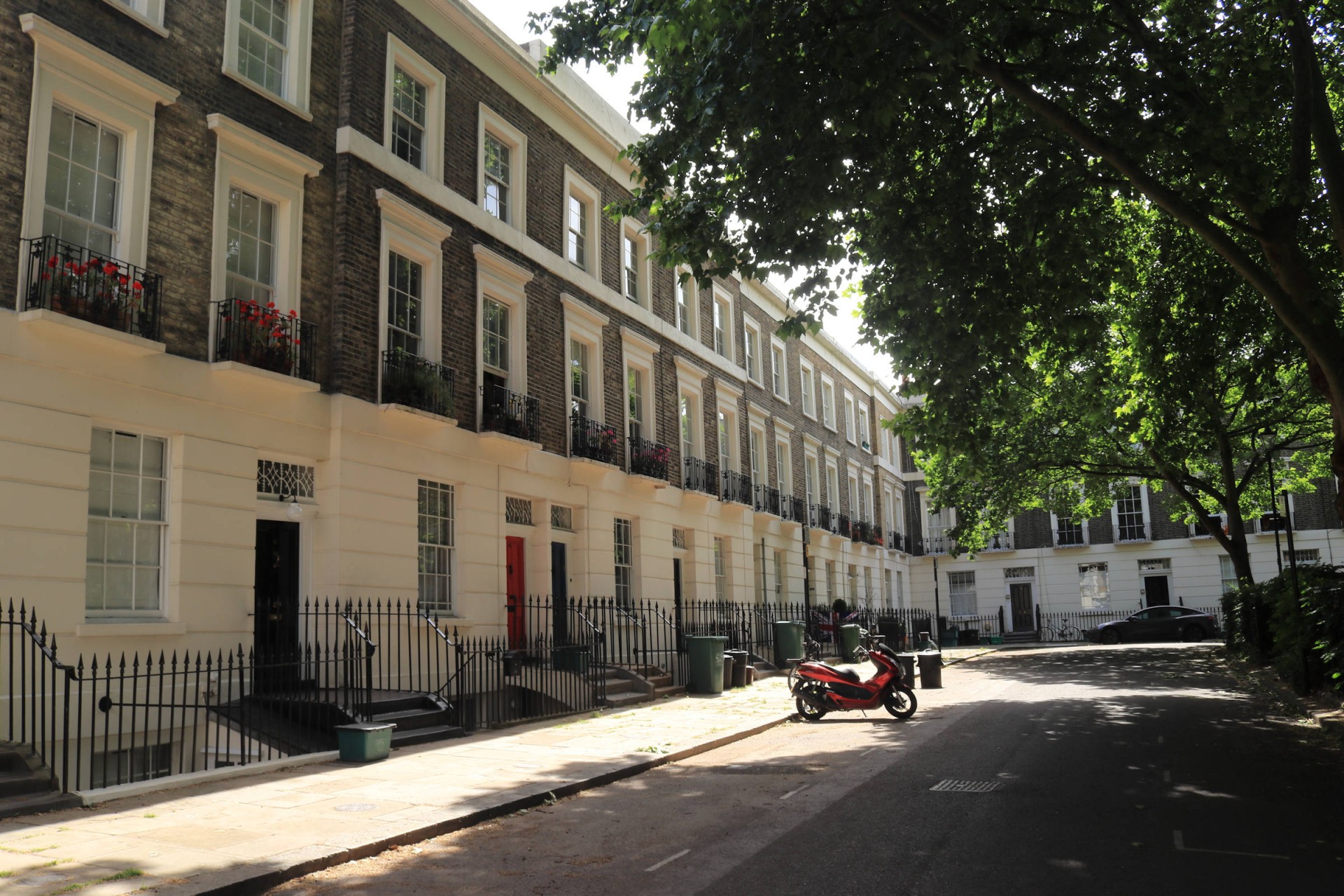
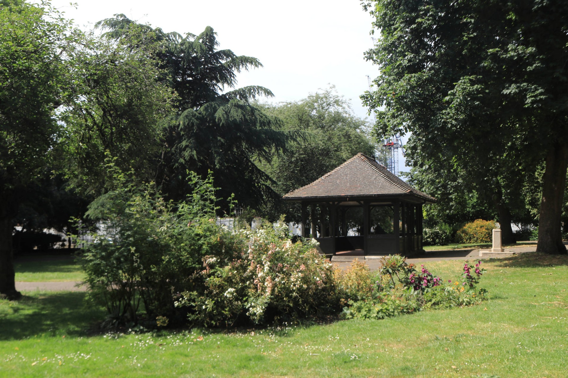
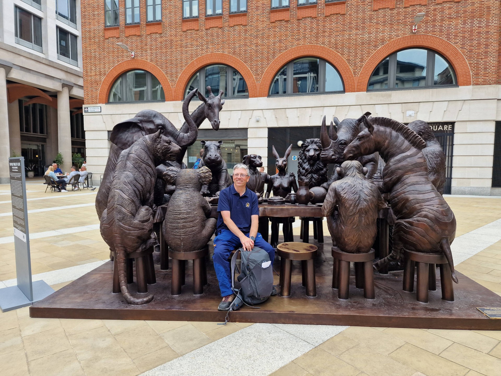
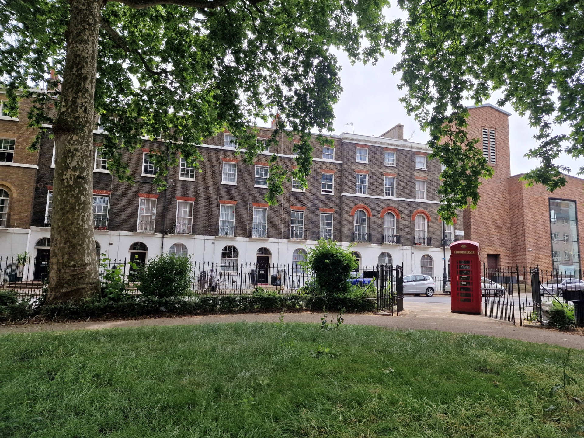
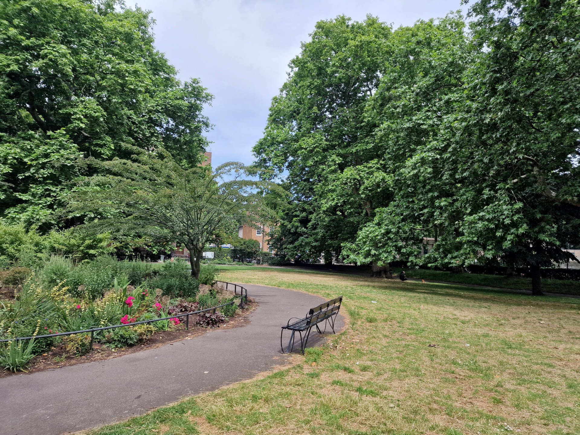
Rather embarrassingly the leader, thanks to a double whammy of signalling problems and late-running engineering works leading to cancellations and delays, was late to his own walk, but fortunately having done 50 miles the precious day the 19 waiting for him at Liverpool Street were in a forgiving mood. Once underway, the walk started through a rather quiet Finsbury and then meandered largely through an even quieter Clerkenwell, only livening up once Paternoster Square and St Paul's Cathedral were reached. Even once Bloomsbury and its squares (a lot of which seeming to have a connection with Virginia Woolf!) were reached it was still largely quiet, and Tavistock Square with plenty of empty benches made a suitable lunch spot.
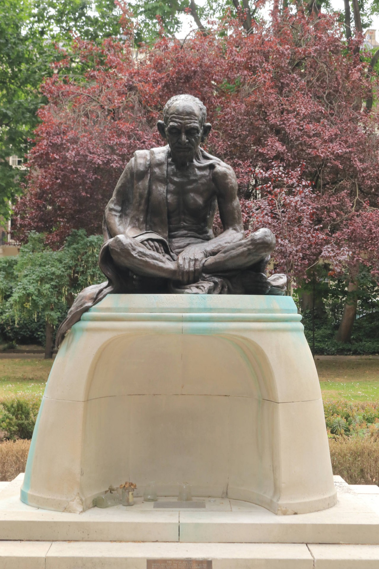
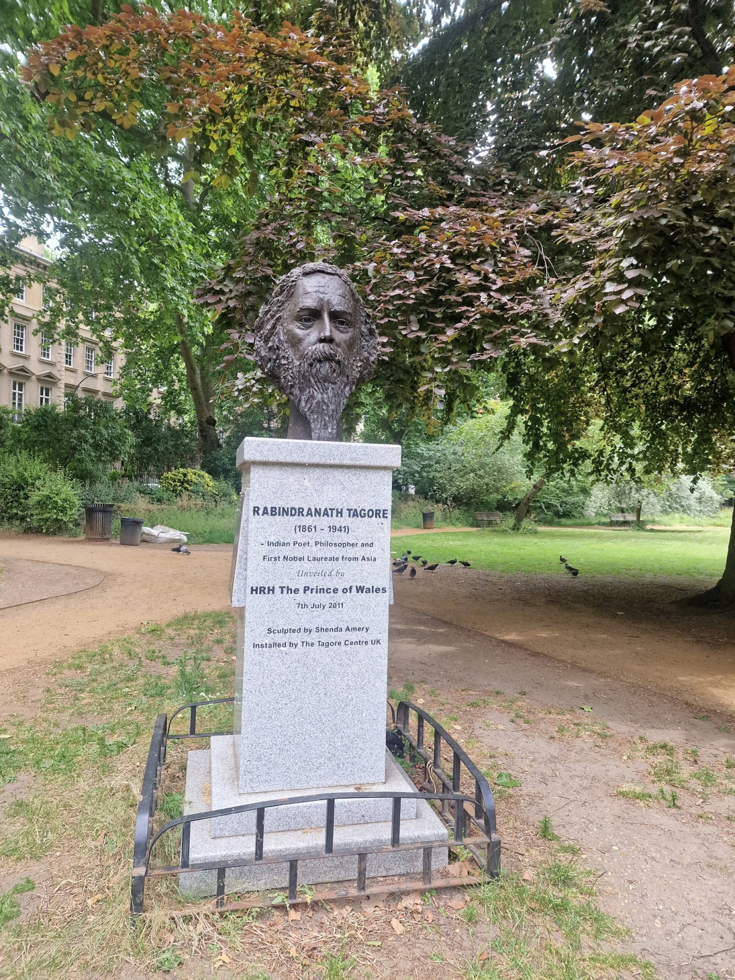
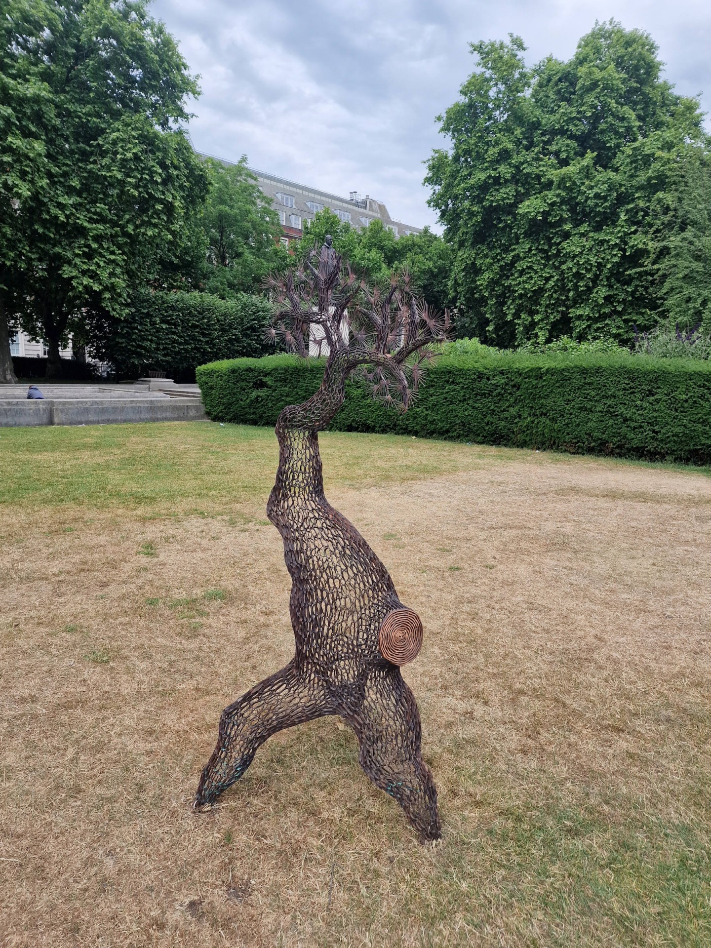
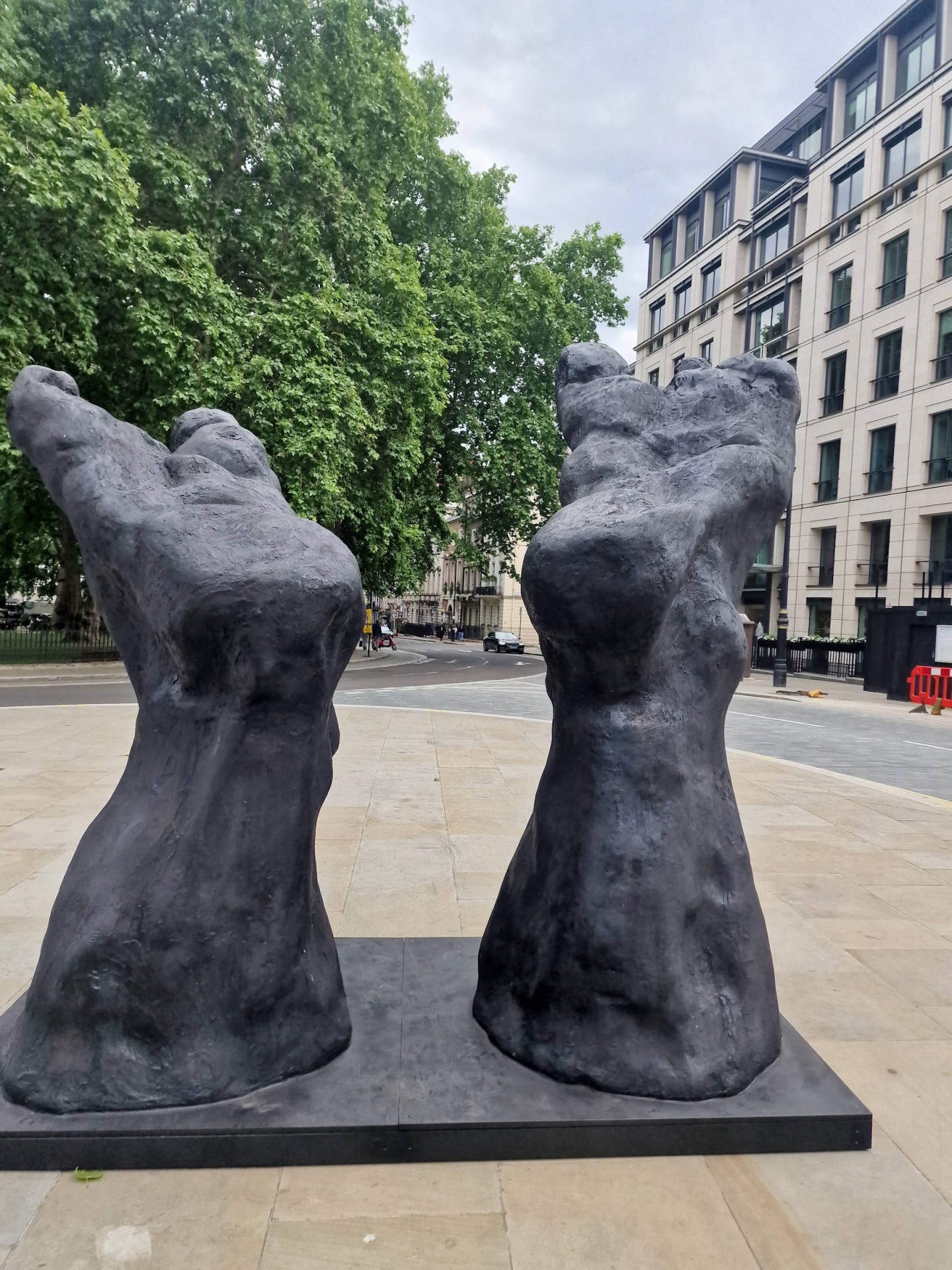
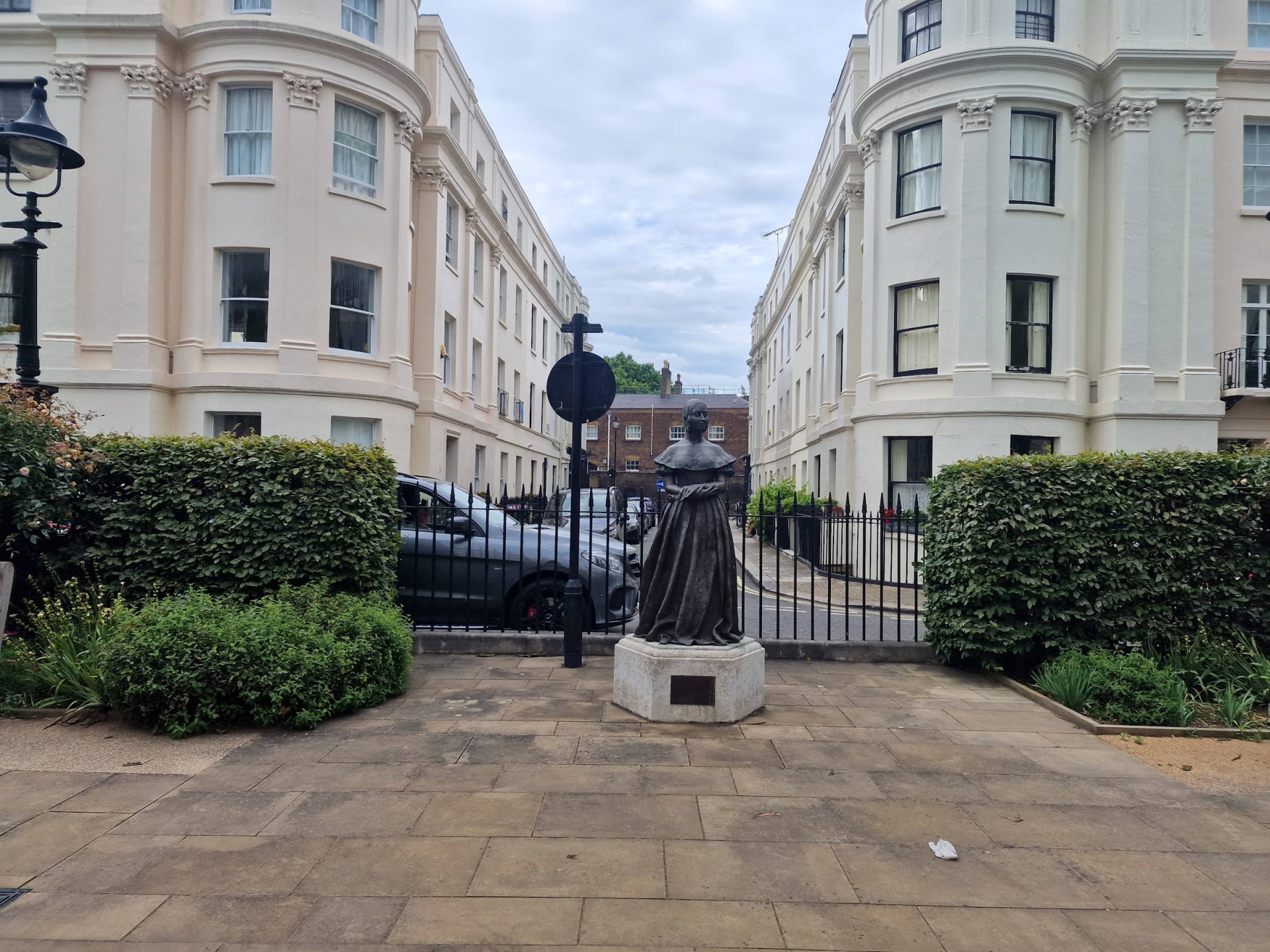
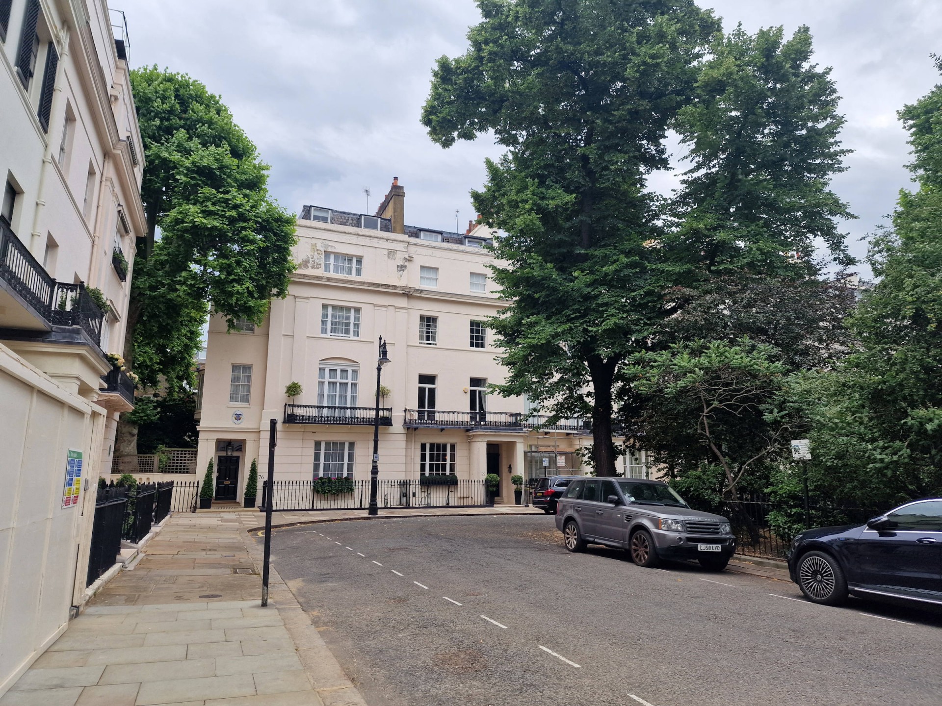
By now two walkers had left the group, but at Bedford Square one of the brave souls from the previous day's walk joined us. Up through Fitzrovia to a pleasantly sunny Regent's Park one planned square was now rendered inaccessible due to building works, but as it was one of the least interesting it wasn't much of a loss. Coming down through Marylebone to Soho and thence to Mayfair there was a gradual diminution of numbers as those who were squared out departed, but the remainder continued down through the most famous ones to Belgravia, with an extra square at Victoria added in to take the total in the end to 51 squares (see list below) dating from the whole gamut of 17th to 21st centuries, plus a burial ground, several gardens and parks, a plaza and a number of sculptures some of which had only recently been installed. Aside from the leader eight walkers completed the full set of squares, and as befits a London group walk some of them convened in a nearby Wetherspoon's to round off the big 50 weekend.
Photographs by Kemi Yusuph and Gavin Fuller.
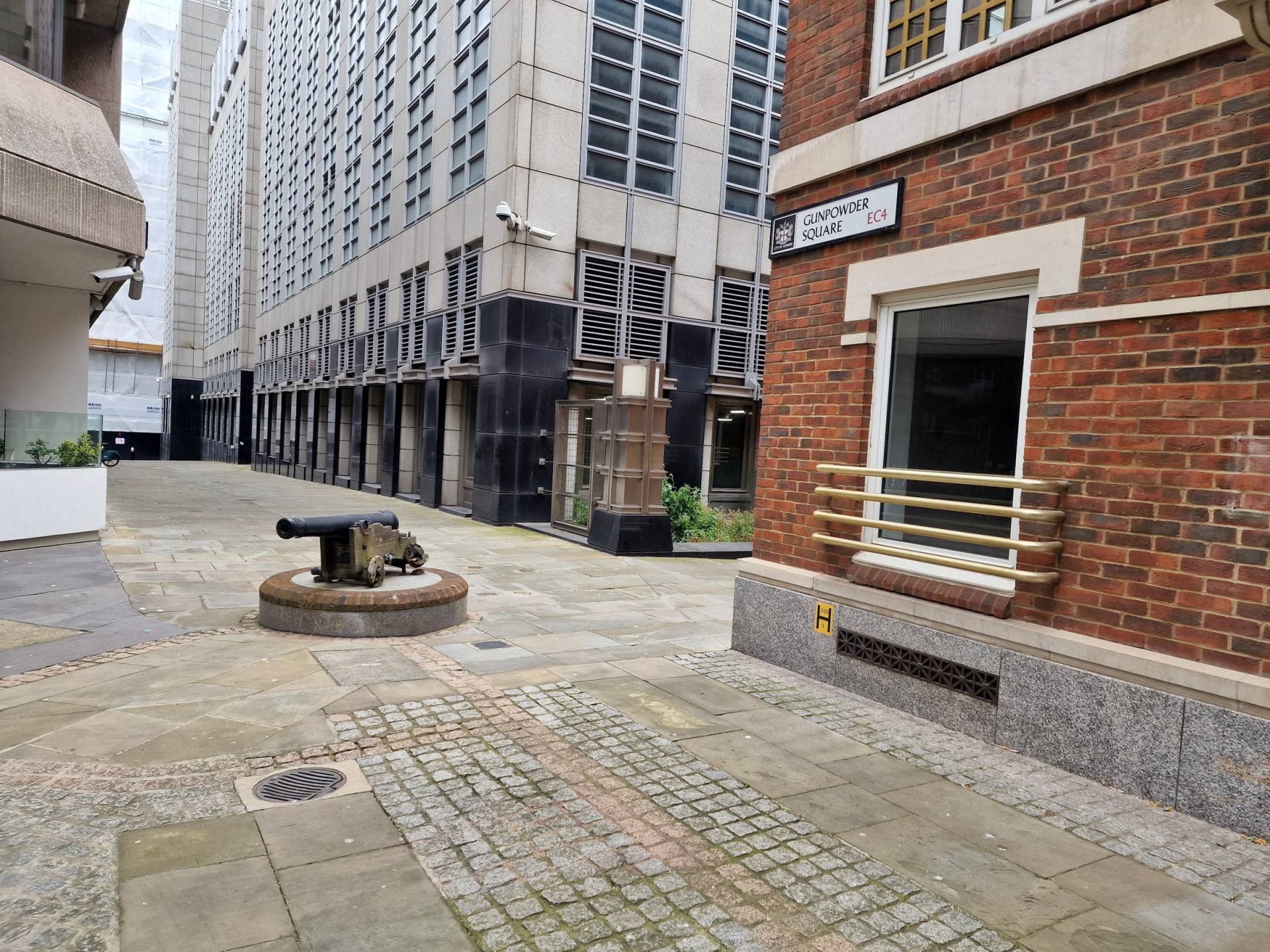
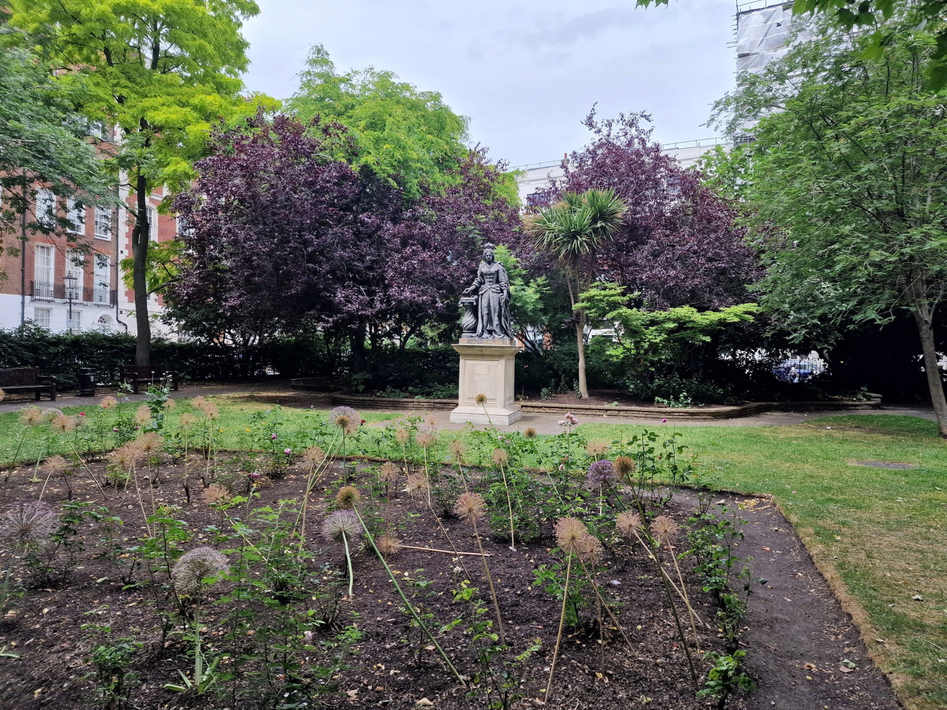
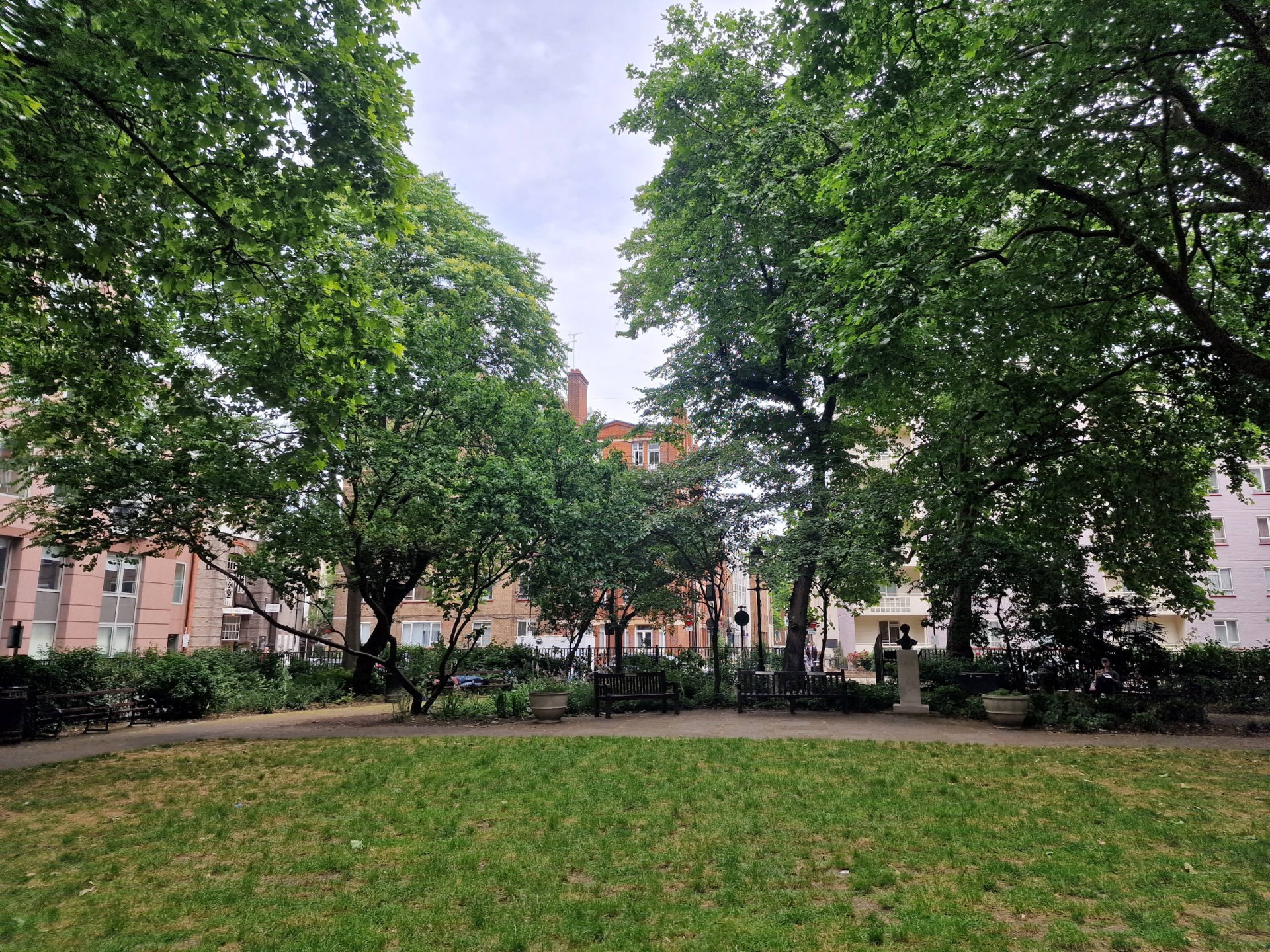
The squares visited were (in order): 1: Finsbury Avenue Square, 2: Finsbury Square, 3: King Square, 4: Northampton Square, 5: Myddleton Square, 6: Lloyd Square, 7: Granville Square, 8: Wilmington Square, 9: St John's Square, 10: Charterhouse Square, 11: Paternoster Square, 12: Salisbury Square, 13: Gough Square, 14: Gunpowder Square, 15: New St Square, 16: Regent Square, 17: Mecklenburgh Square, 18: Brunswick Square, 19: Queen Square, 20: Red Lion Square, 21: Bloomsbury Square, 22: Russell Square, 23: Tavistock Square, 24: Gordon Square, 25: Woburn Square, 26: Torrington Square, 27: Bedford Square, 28: Fitzroy Square, 29: Park Square, 30: Dorset Square, 31: Bryanston Square, 32: Montagu Square, 33: Portman Square, 34: Manchester Square, 35: Cavendish Square, 36: Rathbone Square, 37: Soho Square, 38: Hanover Square, 39: Grosvenor Square, 40: Berkeley Square, 41: St James Square, 42: Leicester Square, 43: Trafalgar Square, 44: Parliament Square, 45: Smith Square, 46: Vincent Square, 47: Sir Simon Milton Square, 48: Victoria Square, 49: Belgrave Square, 50: Eaton Square, 51: Chester Square
Other Files
Download Walk ReportGPX
A GPX file of the above route may be downloaded by clicking the link below.
Note: GPX files of Group Walks are created by LDWA Group members, and may be downloaded only by other LDWA members. They should not be made available outside the LDWA, and are used at members' own risk.
Login to Download (Members Only)You can use the interactive controls to zoom in and out and to move around the map, or click on a path or a marker for more info. (interactive map help)
You can use the interactive controls to zoom in and out and to move around the map, or click on a path or a marker for more info. (interactive map help)
© OpenStreetMap contributors under Open Database Licence
Rights of way data from selected Local Authorities
Large scale digital mapping is provided by John Thorn
At high zoom levels the route is indicative only.
Gallery

Maps:
You can use the interactive controls to zoom in and out and to move around the map, or click on a marker for more info. (interactive map help)
© OpenStreetMap contributors under Open Database Licence.
Rights of way data from selected Local Authorities.
Large scale digital mapping is provided by John Thorn.


