


LDWA 50th Anniversary Weekend
Sat 18th Jun 2022
Walk Details:
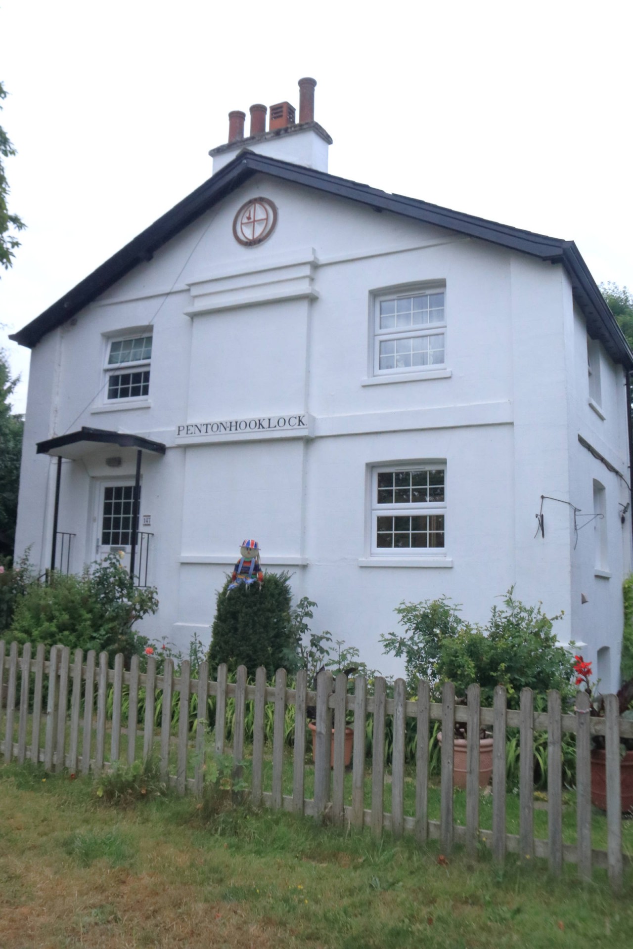
Along the Thames Path until we hit the 50 mile mark, which should be in the vicinity of Datchet if the official guide is correct (nb it wasn't and 49.6 miles took us to Staines statin)
Entry Details:
Walk Report
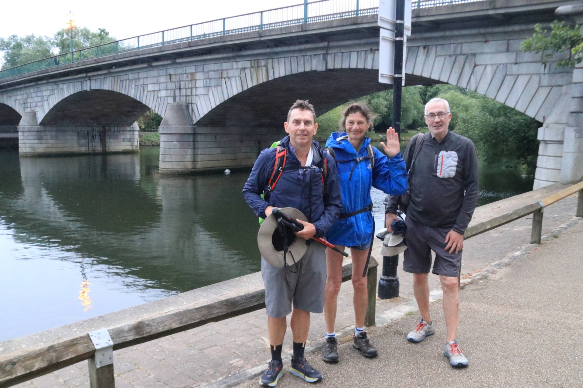
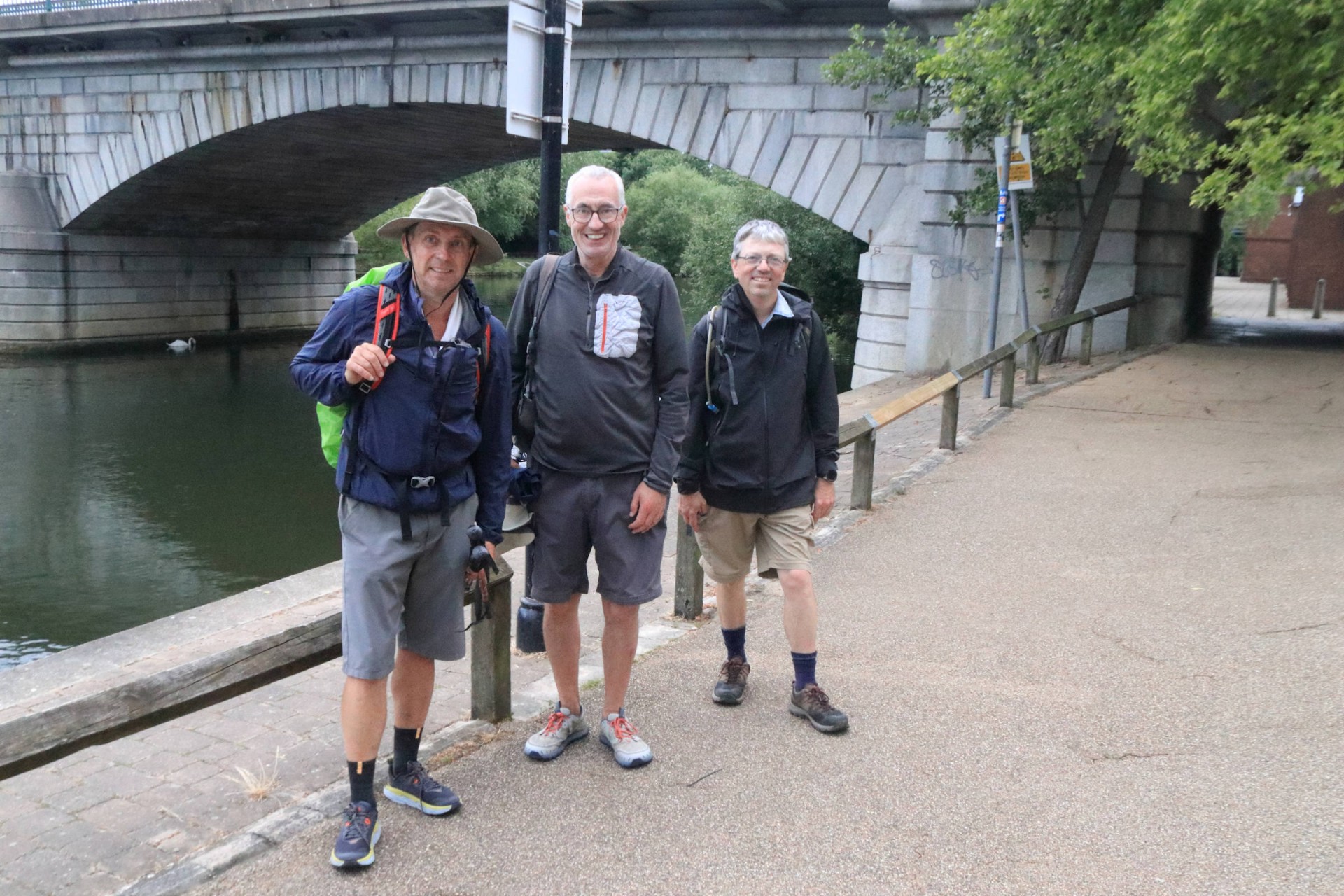
LDWA Big 50 Walk - The Thames Path, Saturday 18th June 202213 walkers, 49.6 miles - leader Gavin Fuller
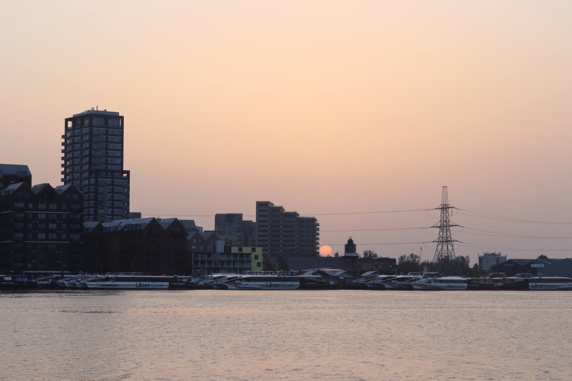
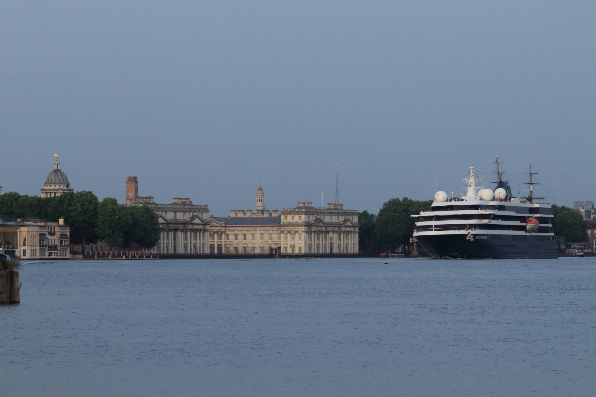
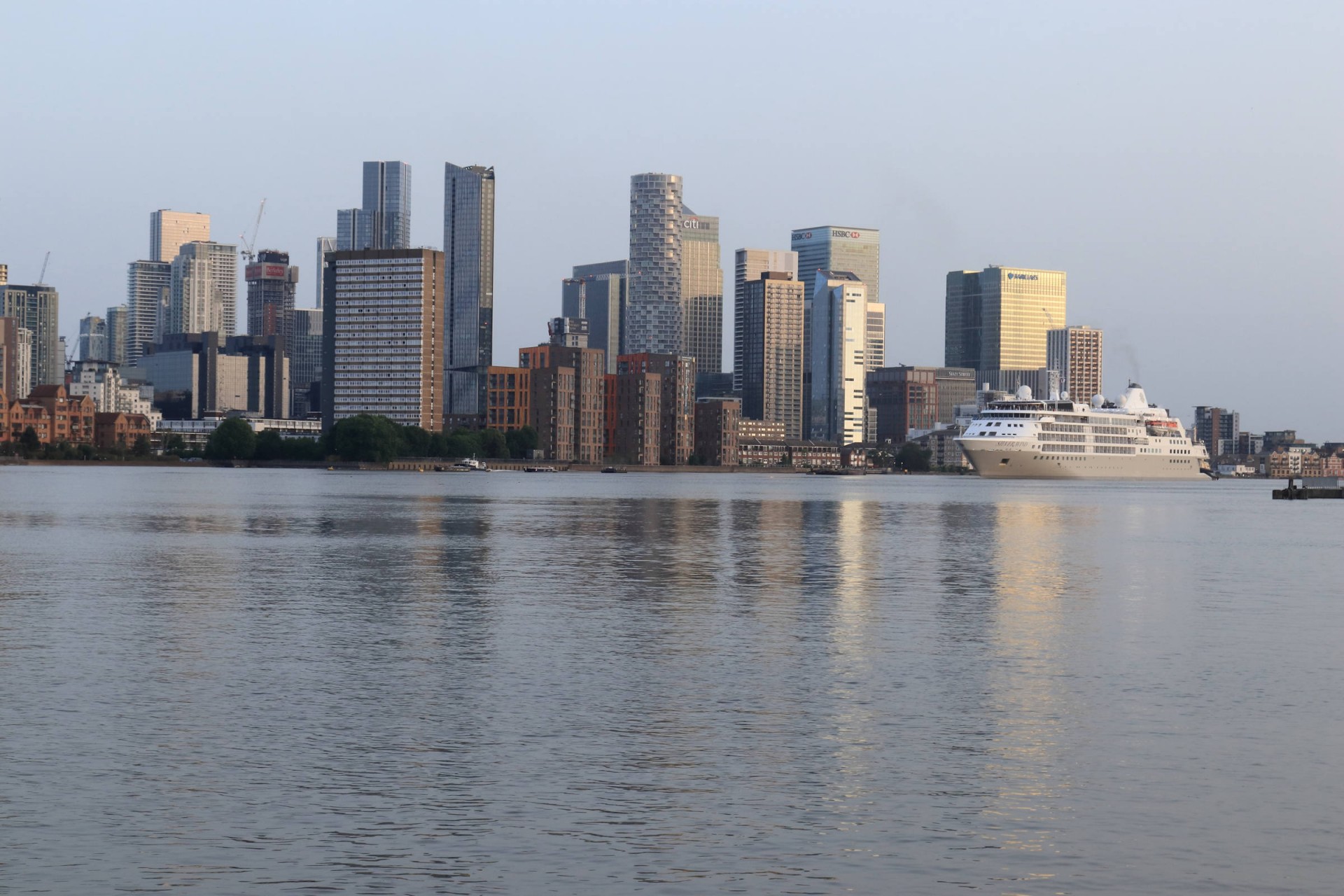
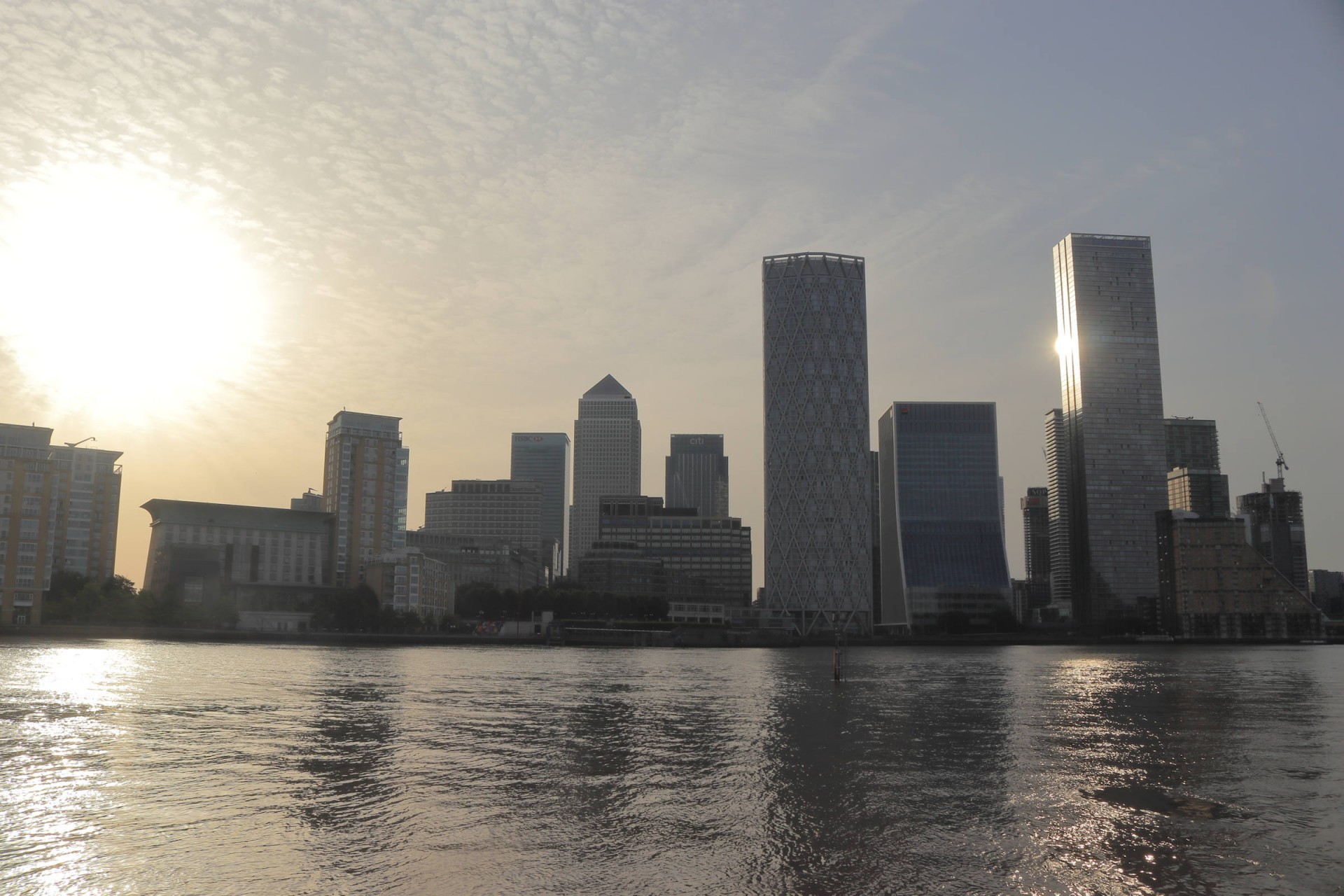
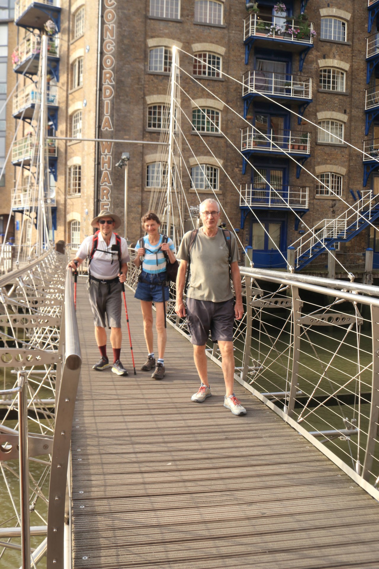
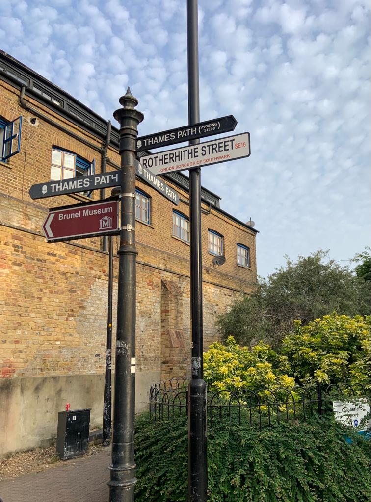
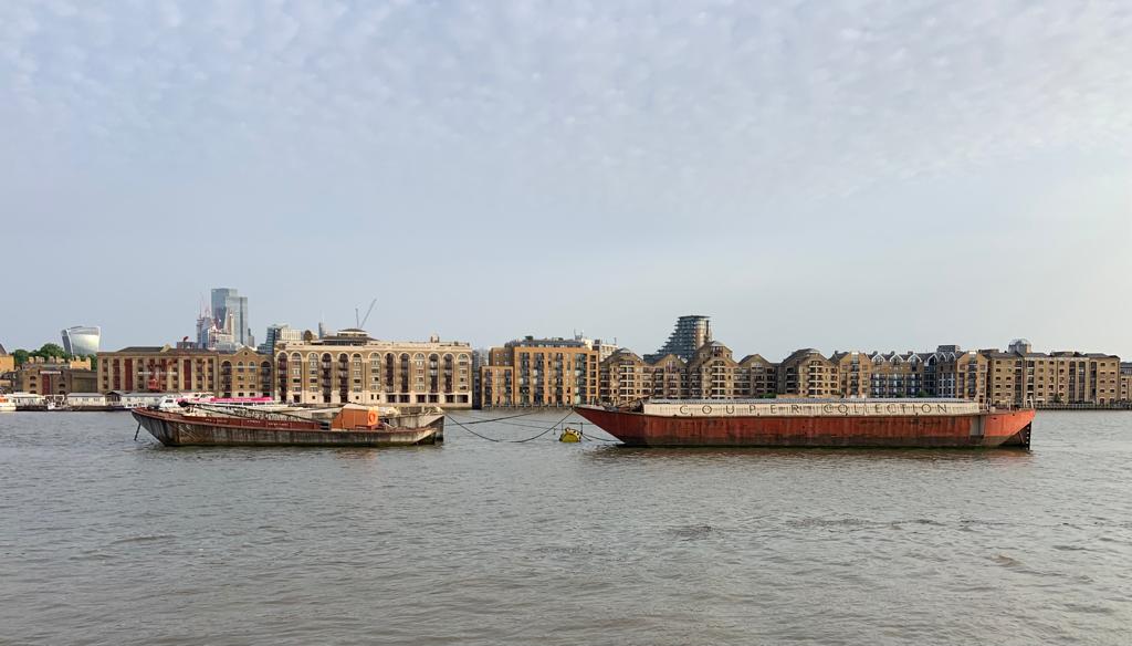
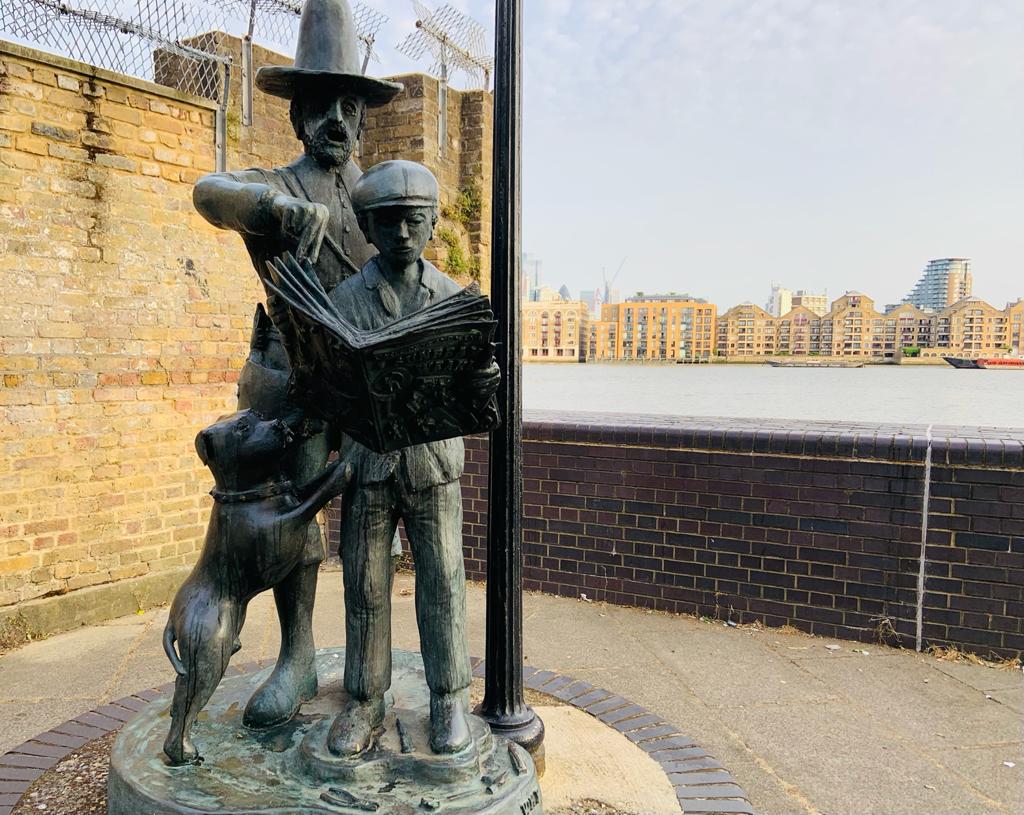
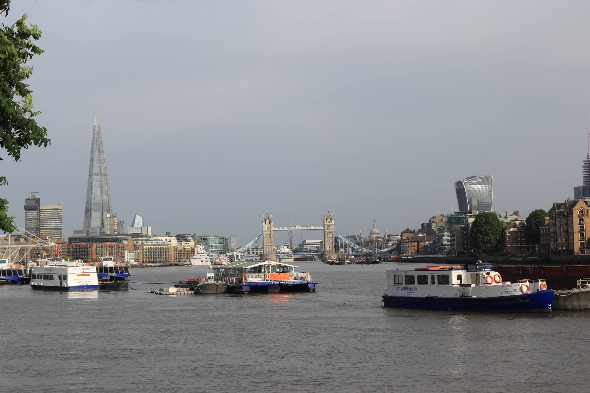
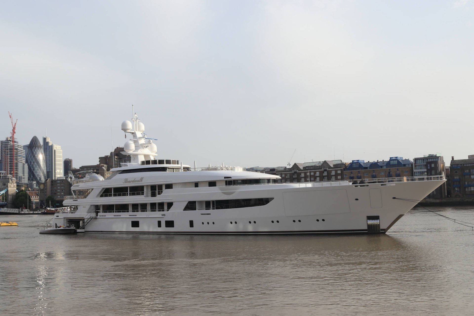
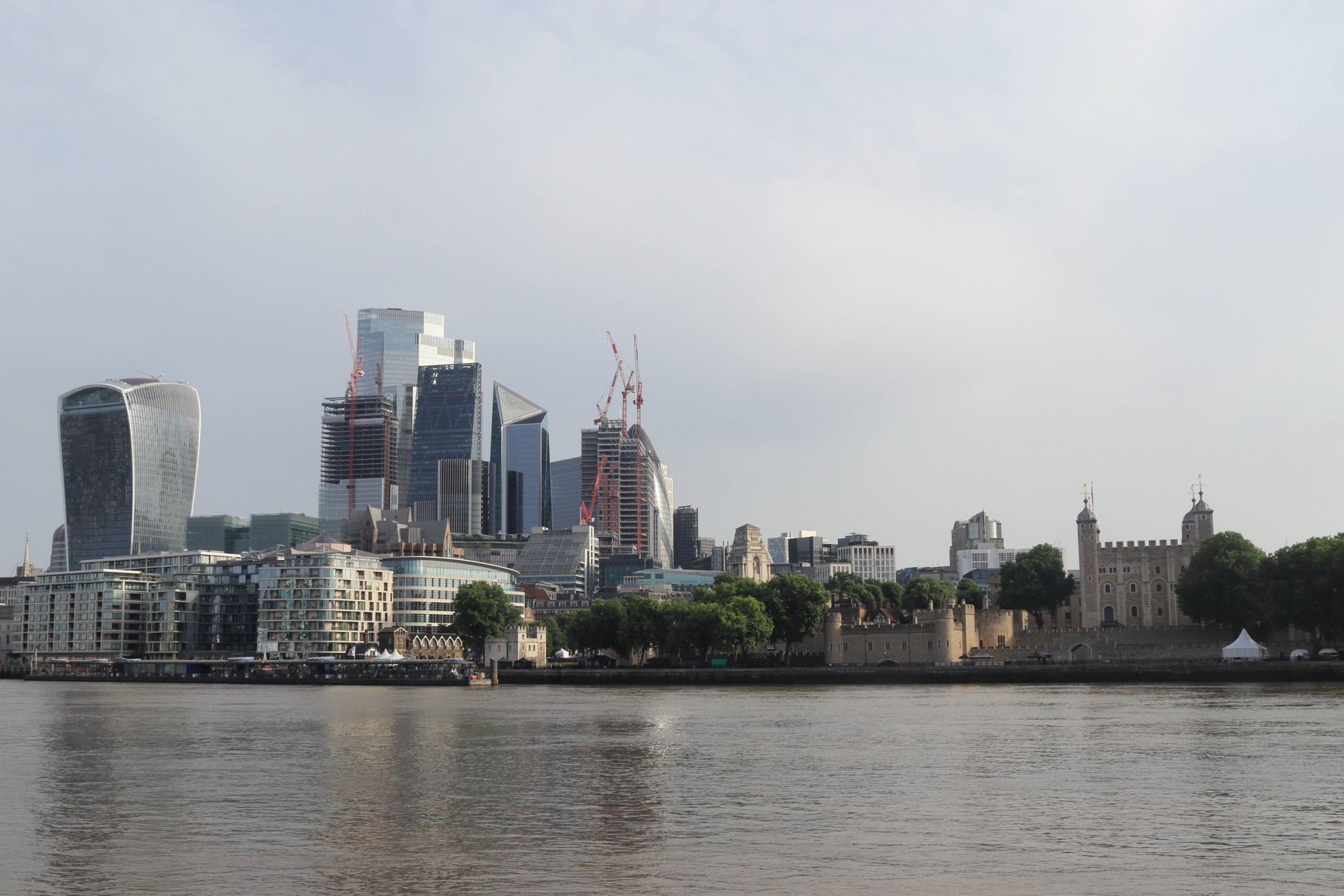
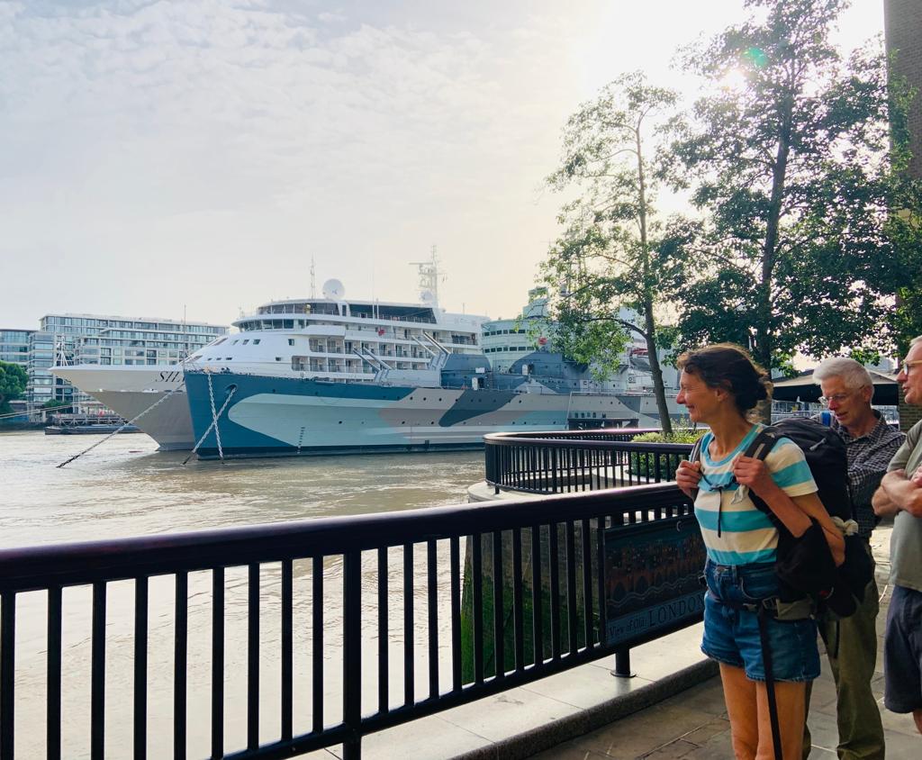
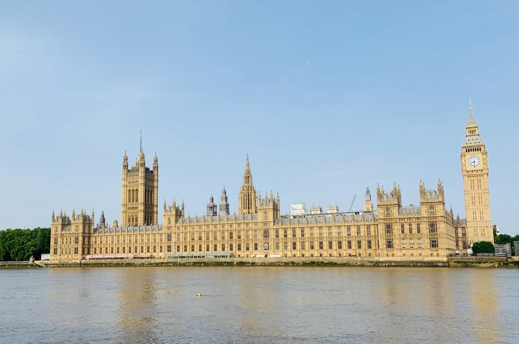
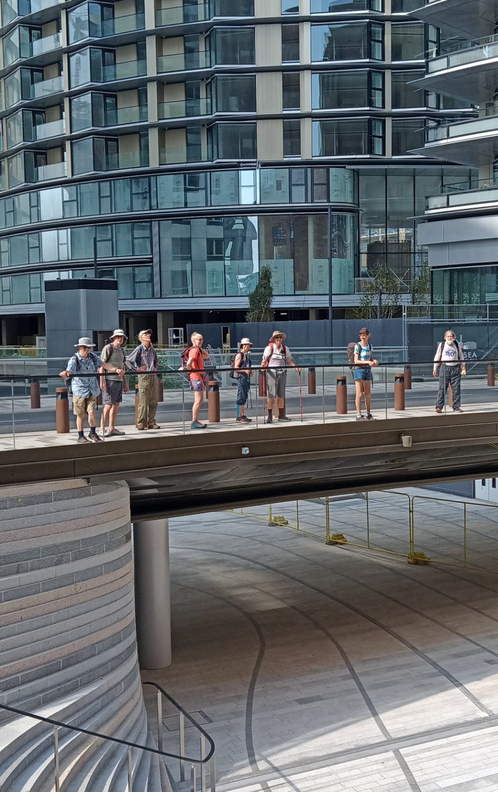
Five walkers managed to negotiate the night tube to North Greenwich in time for the sunrise, and the walk thereby departed at 04.40 to head out to the Thames by the Emirates cable car in the hope of seeing the sun come up over the river, only for a haze to delay our first sight of it for about ten minutes when it came into view over Silvertown. As the North Greenwich peninsula was walked round the group had a fine view of one cruise ship coming into London and one coming out, with a third sitting at Greenwich. At Deptford the main group was down to three, the other two happy to take a more leisurely pace than the attempt to do 50 miles by sunset necessitated, but this was bolstered at Rotherhithe, then again at Bermondsey, Southwark and after a pit stop at Waterloo at Westminster Bridge to make nine.
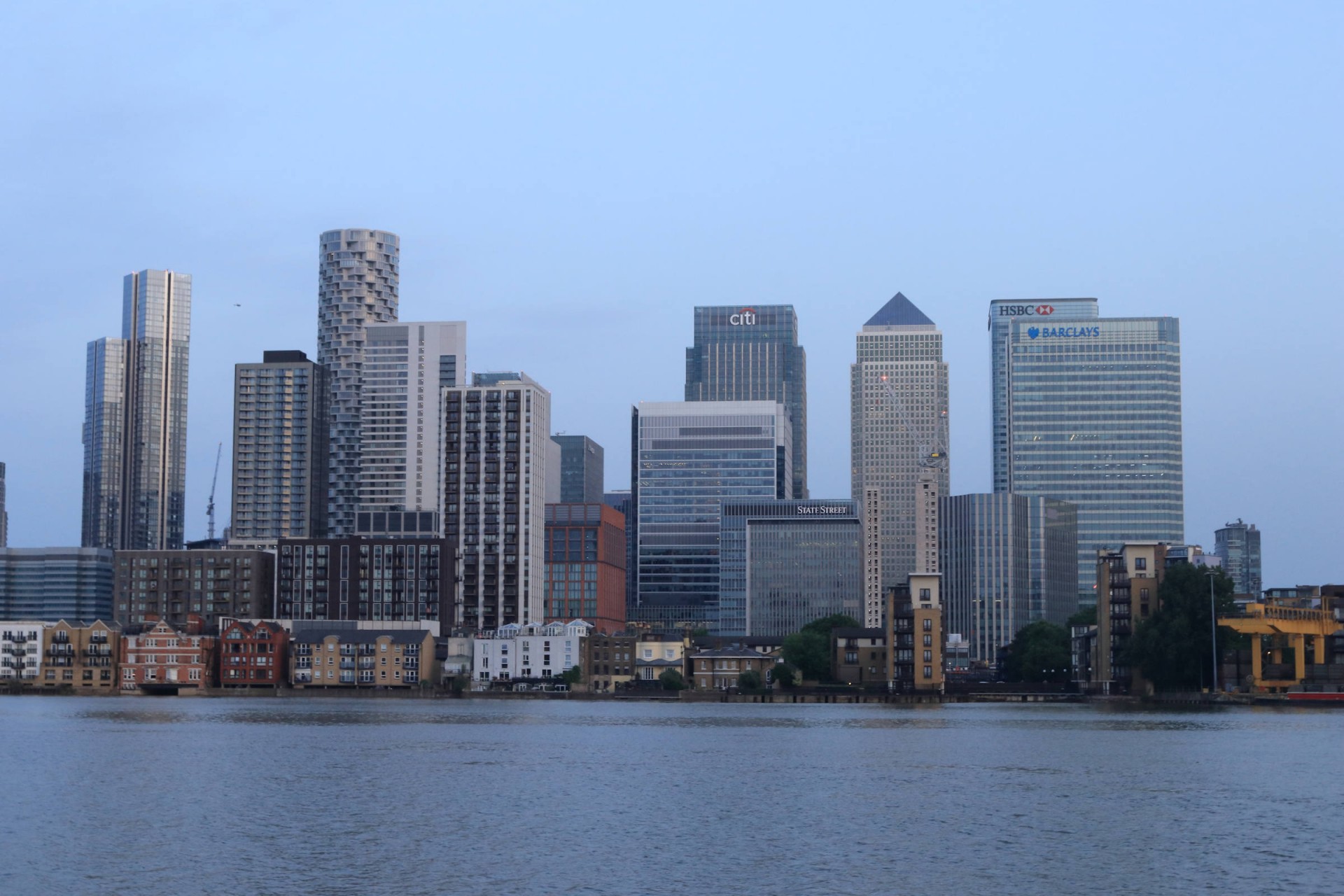
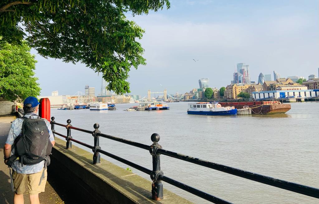
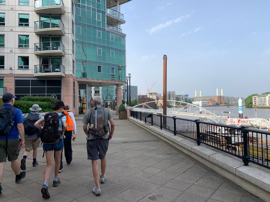
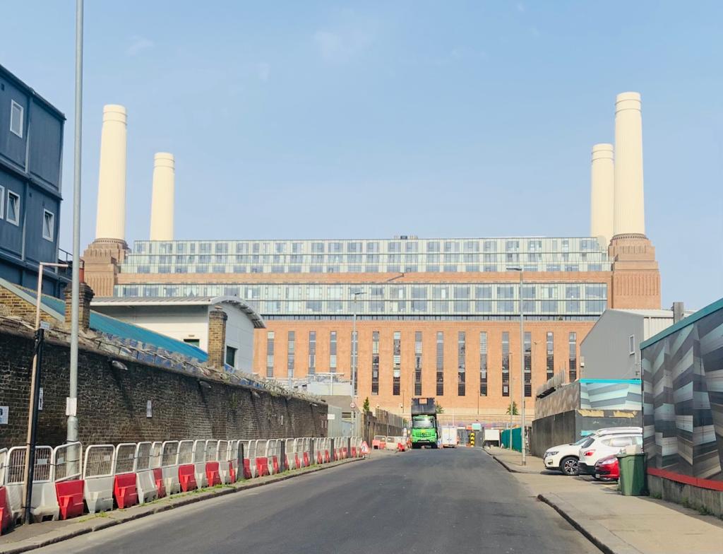
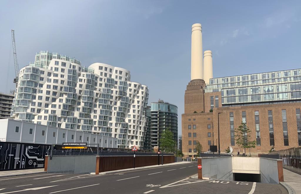
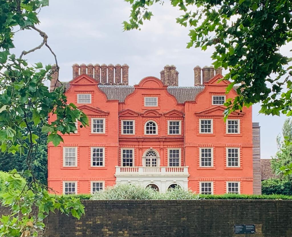
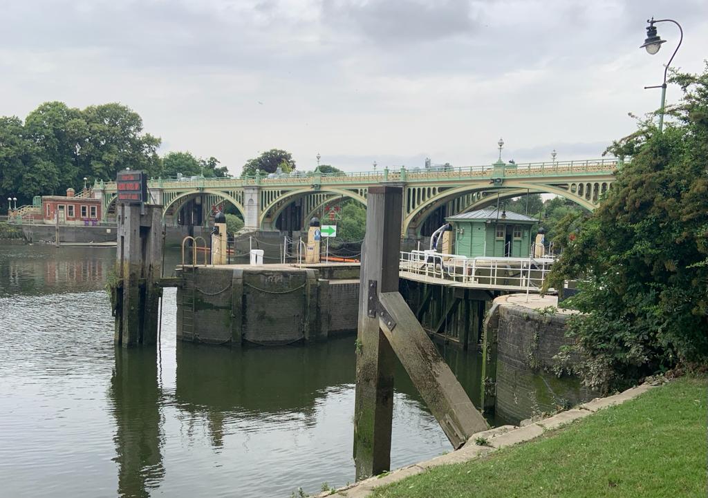
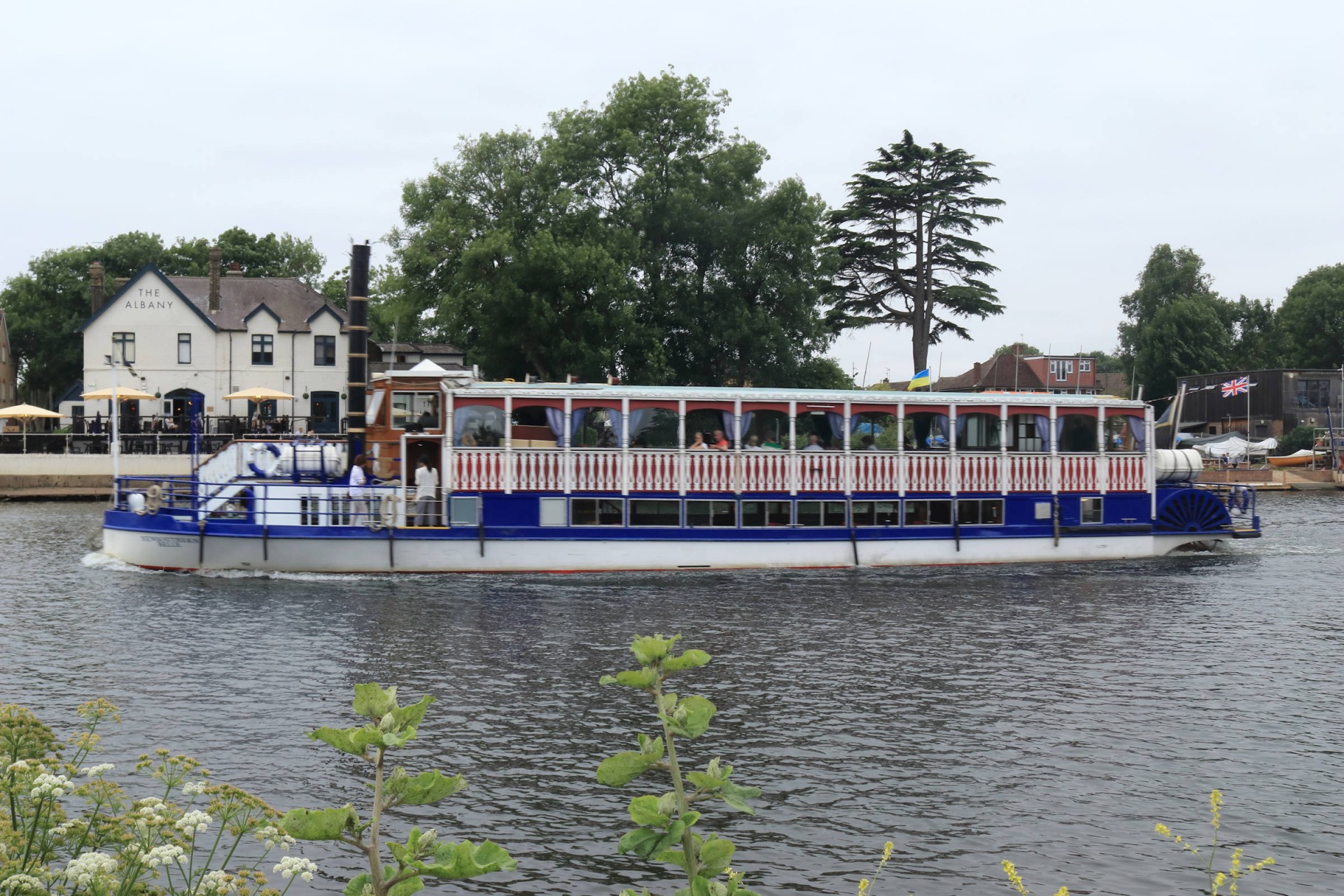
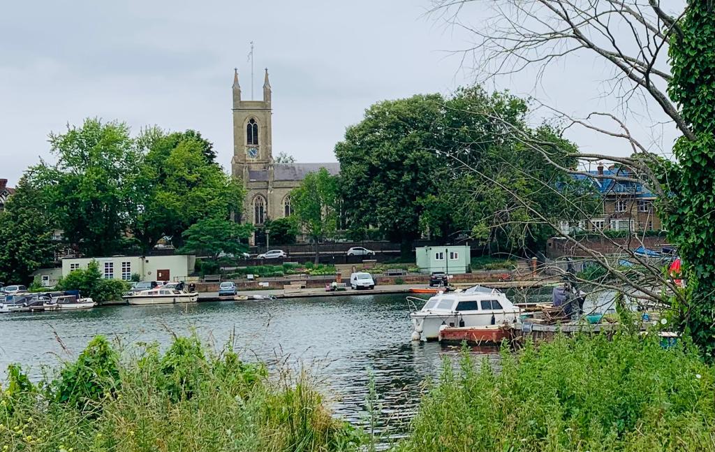
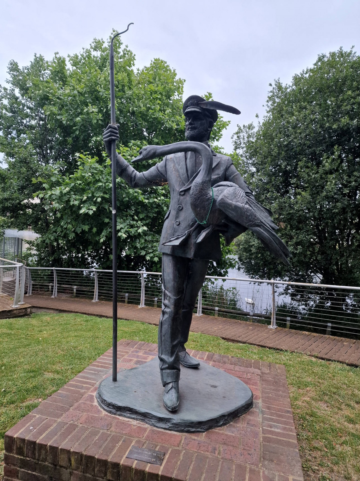
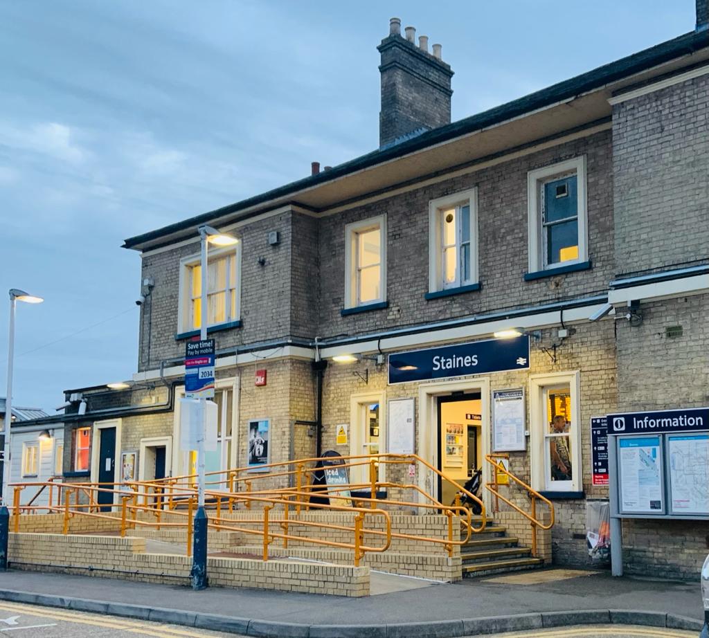
The walk proceeded to follow the south bank of the Thames, past plenty of modern housing complexes and a rebuilt riverside stand of Craven Cottage, losing a couple around Barnes, to Kew, where all bar one diverted to the green by the cricket club to make use of its handy picnic tables (and for the men the club toilets!). Suitably refreshed at this almost halfway point, the six then attempted to catch up the one who had soldiered on preferring not to stop, which they did at Kingston. In the process we were joined by another member who had started at North Greenwich four hours after the original walkers, and just for fun ran the route to see where she'd catch us up (by Kew Gardens as it happened). Kingston saw one leave the walk, whilst a diversion to John Lewis for refreshments saw us lose two more who carried on ahead, one ending at Hampton Court. By now the early morning sunshine had long gone, which was ideal as the cooler temperatures made walking much more pleasant than the previous day's 32 degrees would have been. Passing what sounded like a dance music festival at Walton provided what the group considered to be aural pollution, and here the main four caught up with the other member, whose blistered feet caused him to fall back again, only for us to somehow meet him coming the other way as the rain came down properly whilst doing the diversion at Shepperton. Fortunately this didn't last too long and the walkers soldiered on towards Staines, where three miles short of the town we finally caught up with the last LDWA walker of the day, who had started ahead of us at Vauxhall in the expectation we'd catch him up which looked like it was never going to happen! Thus it was a party of five who came into Staines, which being reached at the 49-mile mark, the group decided was a practicable stopping point, although one having parked his car at Datchet continued to there, having an atmospheric walk and finishing at 11. The one behind eventually got to Staines as well, but for the main group the walk ended at 21.03 (20 minutes before sunset) at the station after 49.6 miles, which they all managed to top up to 50 for the day on the way home, which proved not without event as the train back was full of people returning from Royal Ascot to start with, then compounded by an influx of rugby fans from the Premiership final at Twickenham to make the journey back lively to put it mildly.
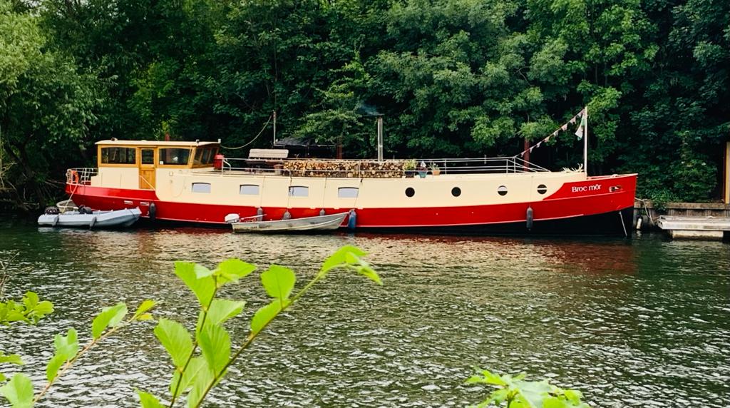
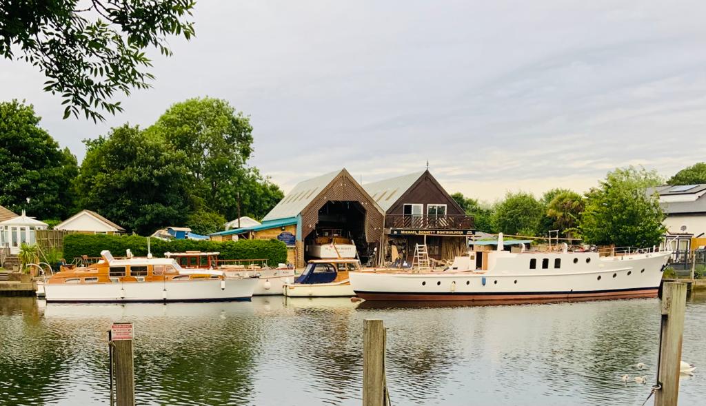
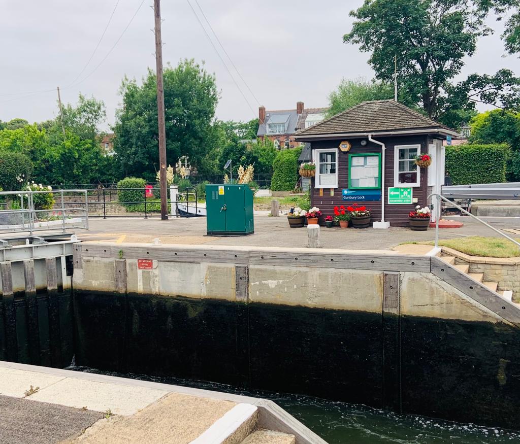
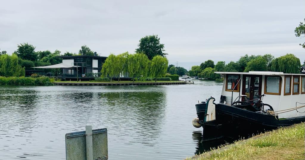
Photographs by Gavin Fuller, Richard Rose and Pete Colley
Other Files
Download Walk ReportGPX
A GPX file of the above route may be downloaded by clicking the link below.
Note: GPX files of Group Walks are created by LDWA Group members, and may be downloaded only by other LDWA members. They should not be made available outside the LDWA, and are used at members' own risk.
Login to Download (Members Only)You can use the interactive controls to zoom in and out and to move around the map, or click on a path or a marker for more info. (interactive map help)
You can use the interactive controls to zoom in and out and to move around the map, or click on a path or a marker for more info. (interactive map help)
© OpenStreetMap contributors under Open Database Licence
Rights of way data from selected Local Authorities
Large scale digital mapping is provided by John Thorn
At high zoom levels the route is indicative only.
Gallery


Maps:
You can use the interactive controls to zoom in and out and to move around the map, or click on a marker for more info. (interactive map help)
© OpenStreetMap contributors under Open Database Licence.
Rights of way data from selected Local Authorities.
Large scale digital mapping is provided by John Thorn.


