


The Wealdway: Berwick to Eastbourne
Mon 18th Apr 2022
Walk Details:
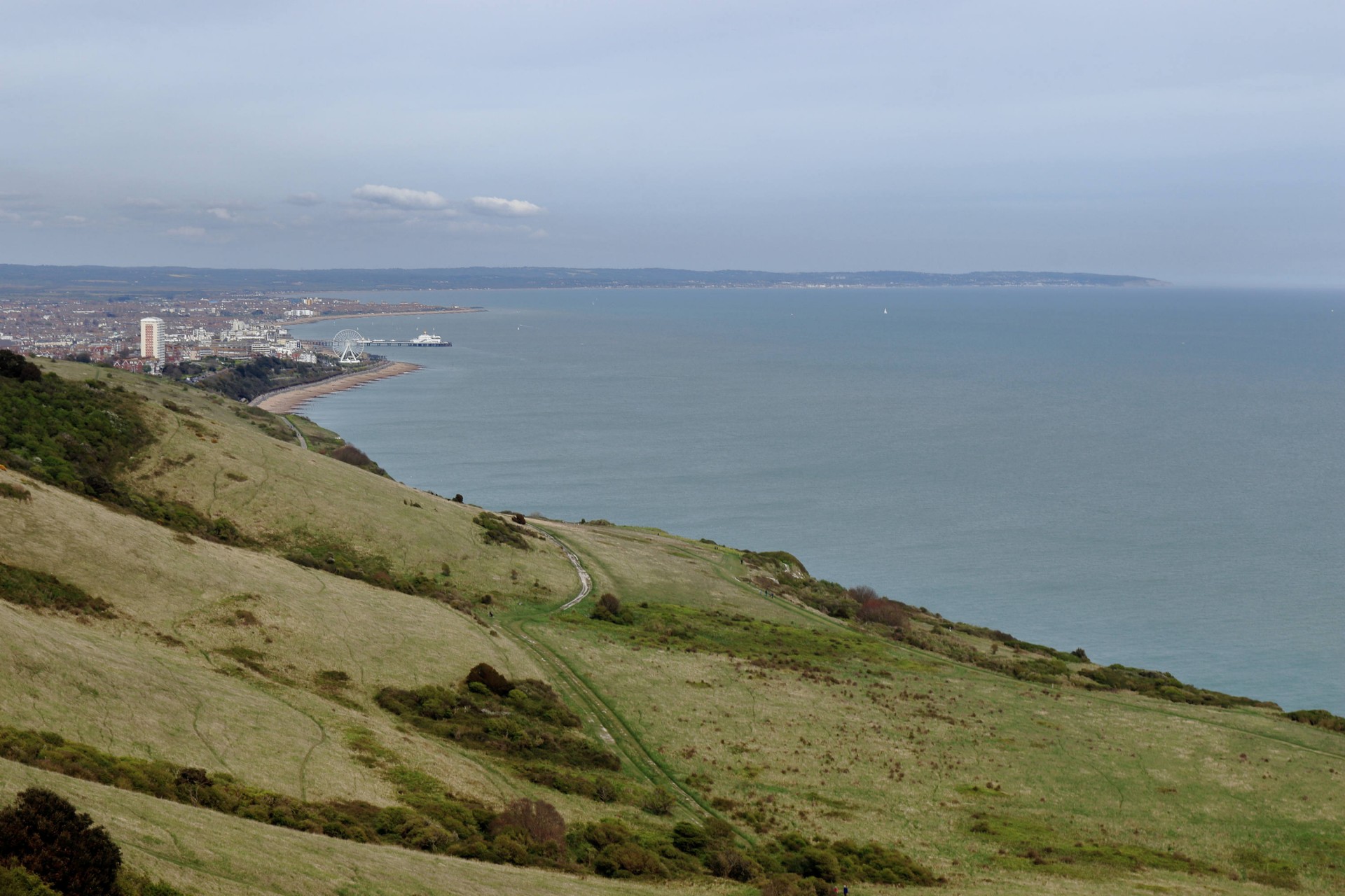
The Wealdway is rejoined near Arlington Reservoir; the first stretch to the A27 is likely to be slightly overgrown from past experience. Once across the main road we pass through Wilmington to the base of the Long Man hill figure where we circle mainly below the South Downs to Jevington. Ascending to the Downs please bring a picnic lunch as the lunch stop will be along this section we process above Eastbourne to Beachy Head and the ways secondary start point above the lighthouse. Then it is back below Whitbread Hole and along the seafront to the official start/finish point by Eastbourne Pier. There should be time for a celebratory ice cream or drink before returning home
Entry Details:
Walk Report
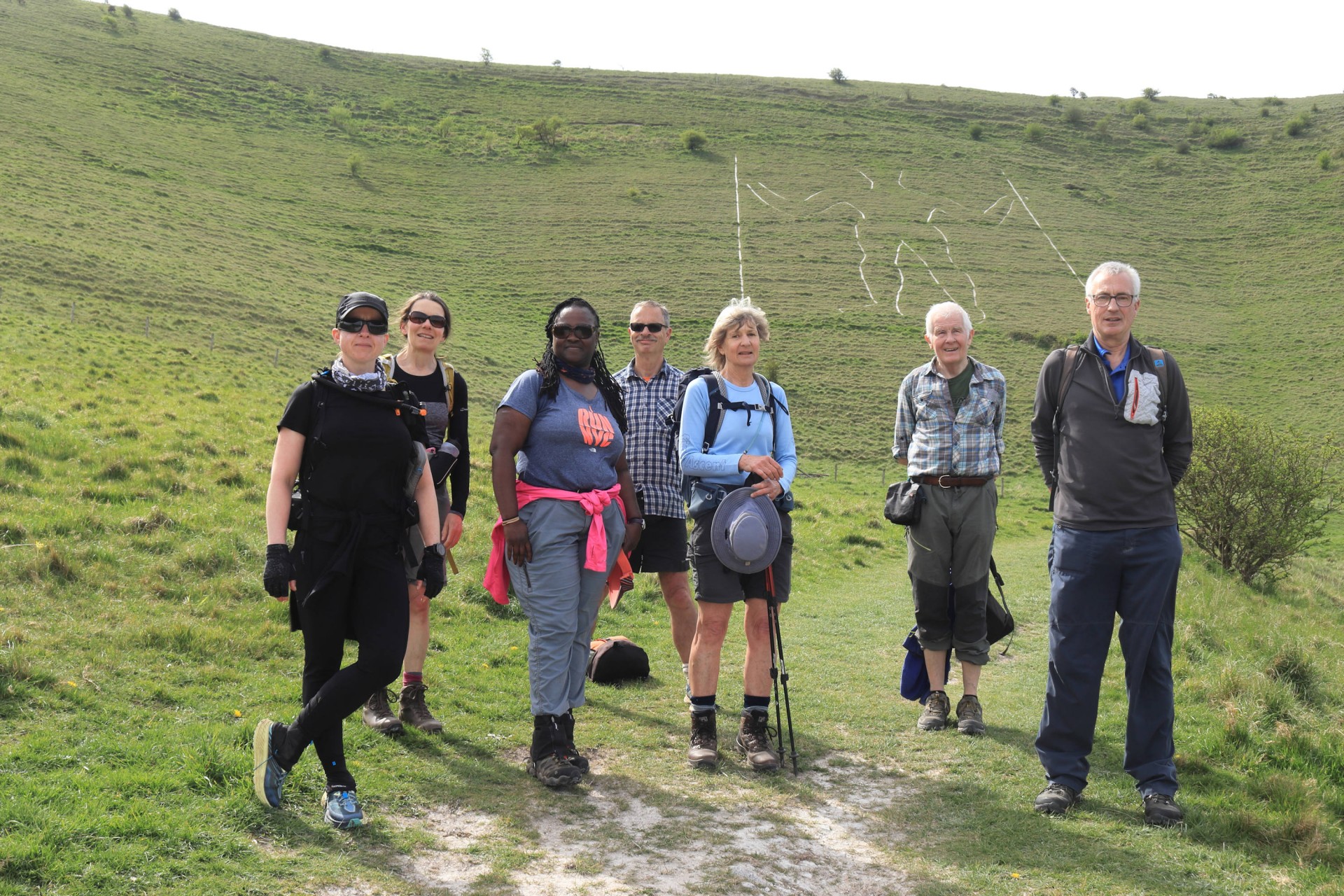
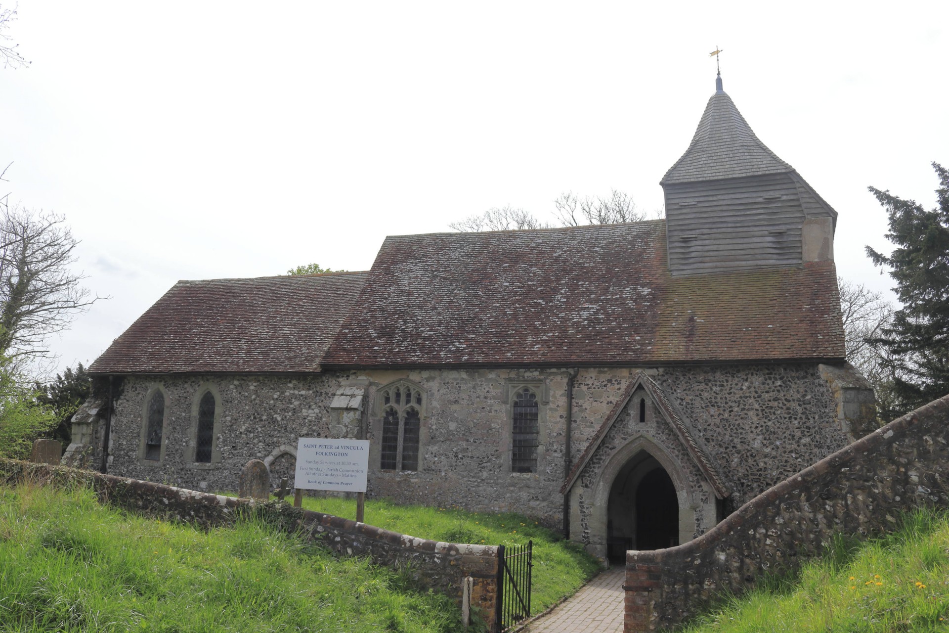
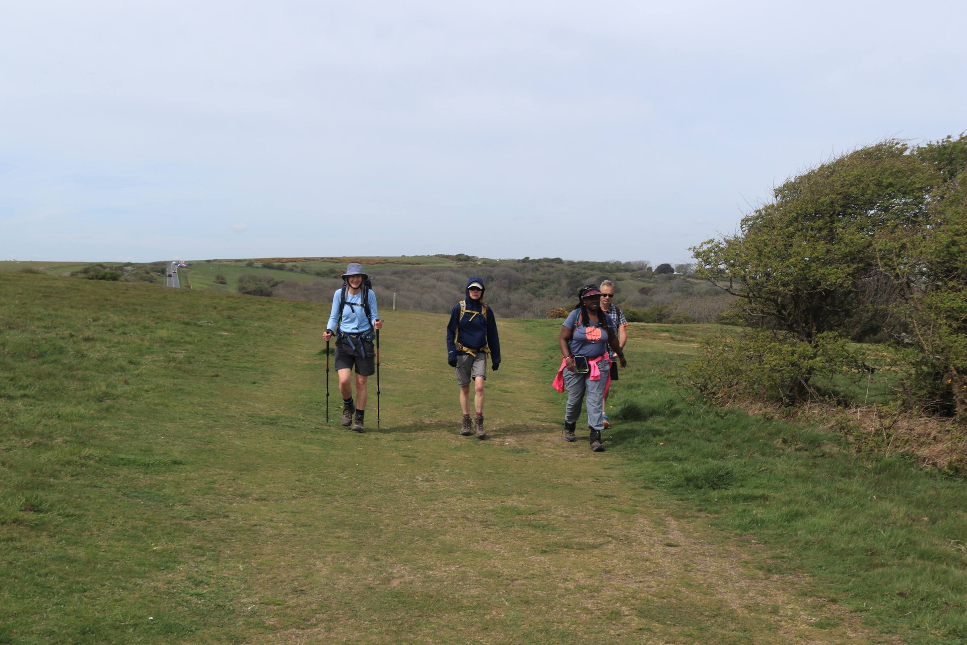
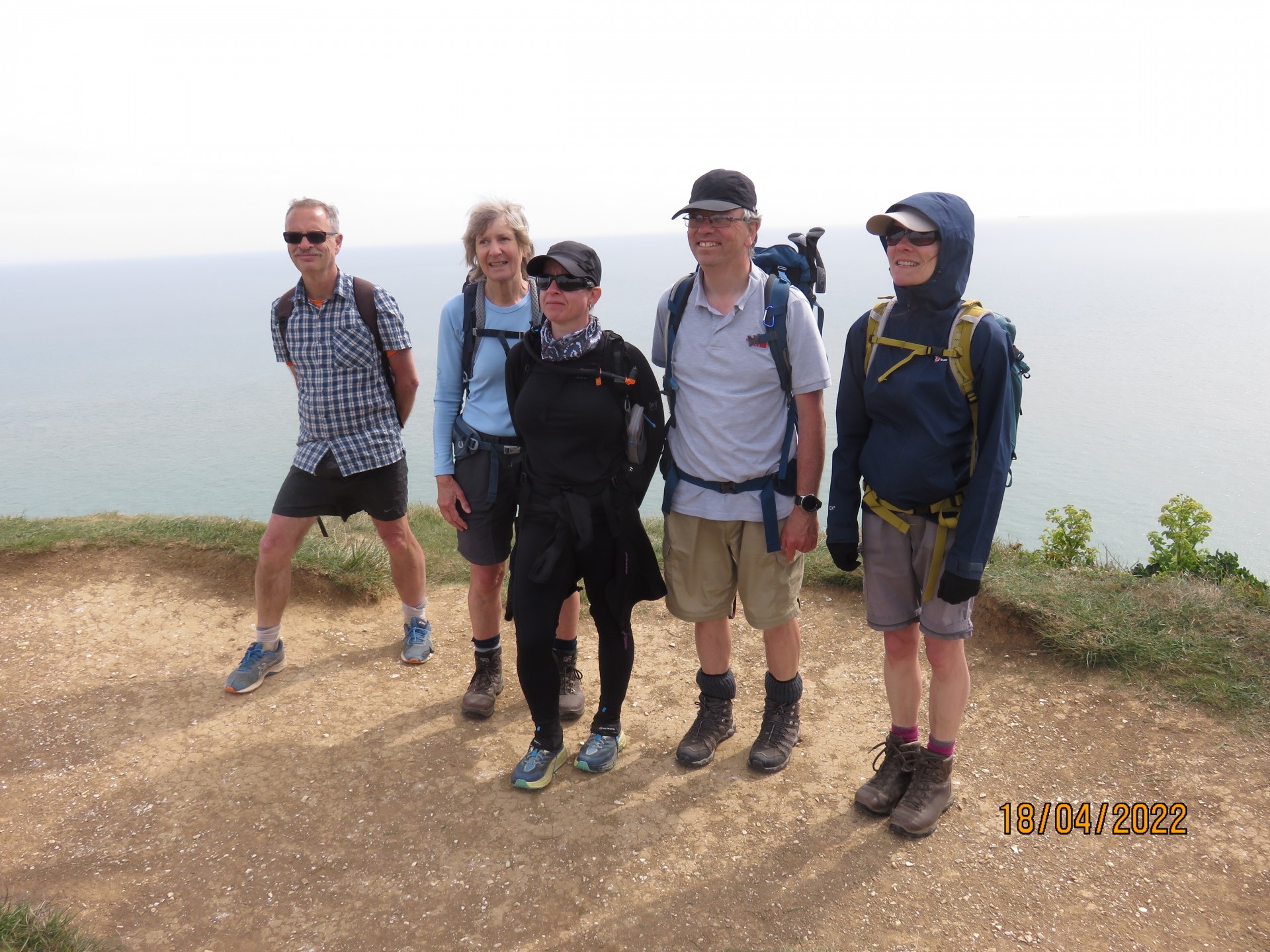
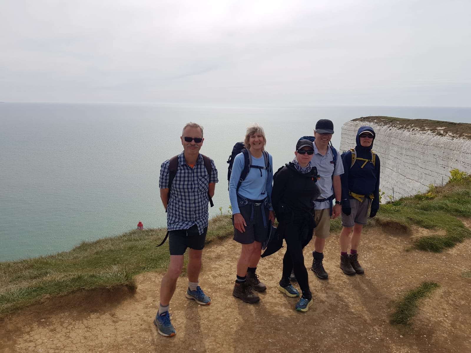
8 walkers, 16.8 miles - leader Gavin FullerCuriously the shortest section of the Wealdway proved to be the least well-attended, with a group of just 8 setting off from Berwick station accompanied by yet more sunshine. The route took us south through Wilmington to the hill figure of the Long Man, before a skirt around the base of the downs to Jevington, where the main climb up onto the South Downs commenced.
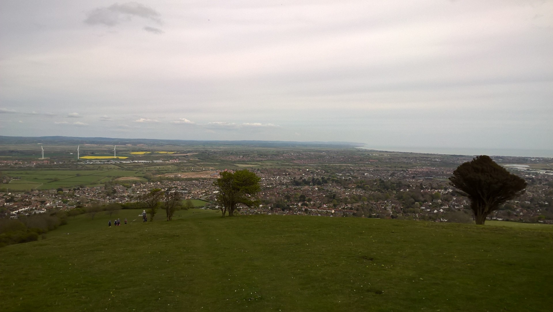
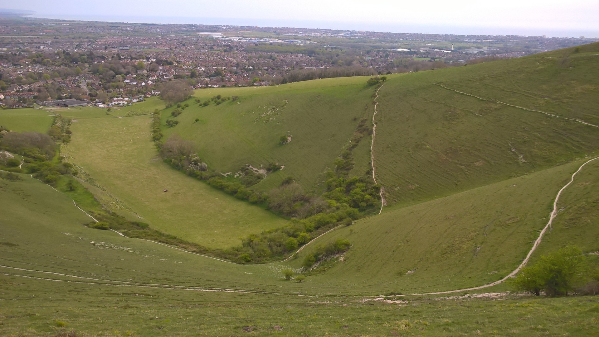
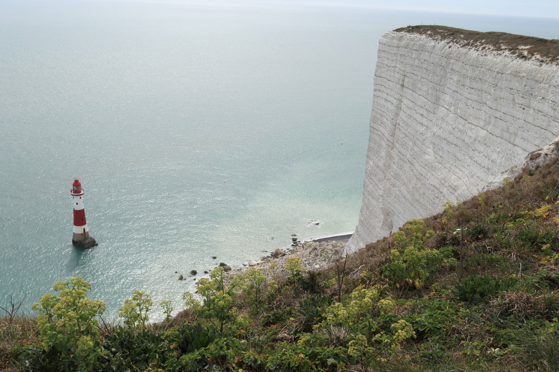
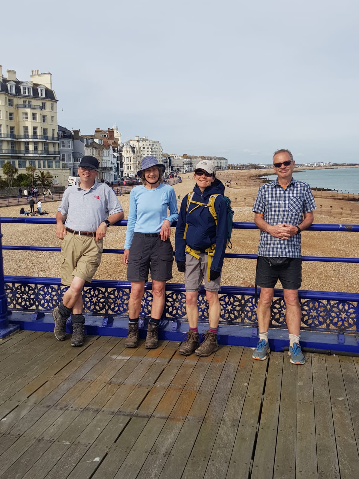
Fortunately the skies had cleared since earlier in the weekend, and there were splendid views from the top of Coombe Hill and further along. After lunch on the curiously-named Cold Crouch it was on to the highest point of the day at Willingdon Hill, before continuing onto the alternative southern start/finish point at Beachy Head via just about the last obvious path along the headland. After having clouded over during lunch the sun came back out to accompany us to the end. Five of the group could technically celebrate having done the entire LDP here, although just to get the full experience the walk then went back along the coast to proceed to the main start/finish at Eastbourne Pier. Here we should have been greeted by a special guest appearance by Dave Williams to welcome us in, but he'd fallen asleep on the prom and missed our arrival! To keep him awake we naturally had to retire to the nearest Wetherspoon's, where four of us could have a celebratory drink (or more in some cases) at having managed the entire four days, which turned out to have covered 92.2 miles (148.4km) in the four station to station walks with 4,869 feet (1,484m) of ascent.
In all 23 people walked on at least one stage of the four, and we were remarkably lucky with the weather over all four days, with the vast majority of the walk done in sunshine. Thanks have to go to Kate Copeland and Lynne MacKenzie of Surrey Walking Club, who organised this enjoyable and successful Easter trek.
Photographs by Gavin Fuller, Gillian Denham, Bola Baruwa and Jeff Golland
Other Files
Download Walk ReportGPX
A GPX file of the above route may be downloaded by clicking the link below.
Note: GPX files of Group Walks are created by LDWA Group members, and may be downloaded only by other LDWA members. They should not be made available outside the LDWA, and are used at members' own risk.
Login to Download (Members Only)You can use the interactive controls to zoom in and out and to move around the map, or click on a path or a marker for more info. (interactive map help)
You can use the interactive controls to zoom in and out and to move around the map, or click on a path or a marker for more info. (interactive map help)
© OpenStreetMap contributors under Open Database Licence
Rights of way data from selected Local Authorities
Large scale digital mapping is provided by John Thorn
At high zoom levels the route is indicative only.
Gallery
Maps:
You can use the interactive controls to zoom in and out and to move around the map, or click on a marker for more info. (interactive map help)
© OpenStreetMap contributors under Open Database Licence.
Rights of way data from selected Local Authorities.
Large scale digital mapping is provided by John Thorn.


